Landåsen (04.06.2023)

| punto de partida | Landåsen parkering (49msnm) |
|---|---|
| Punto final | Landåsen parkering (49msnm) |
| Tipo de excursión | Senderismo de montaña |
| Duración | 0h 42min |
| Distancia | 2.9km |
| Metros verticales | 162m |
| GPS |
|
| Ascensos | Landåsen (209msnm) | 04.06.2023 |
|---|---|---|
| Otros PBEs visitados | Landåsen parkering (49msnm) | 04.06.2023 |
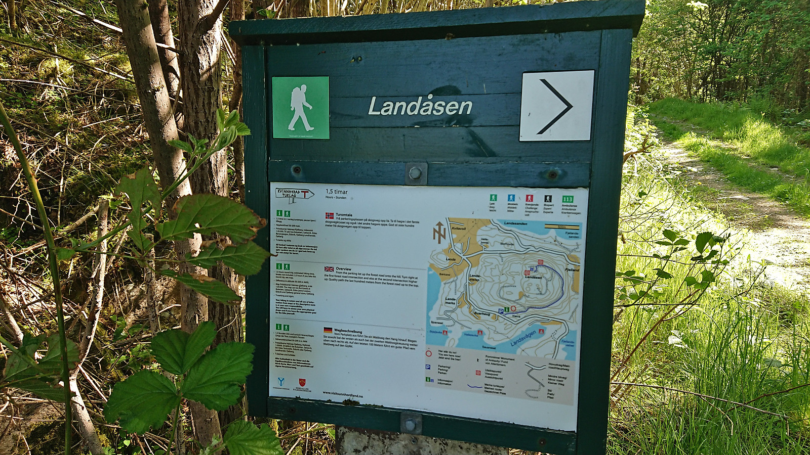
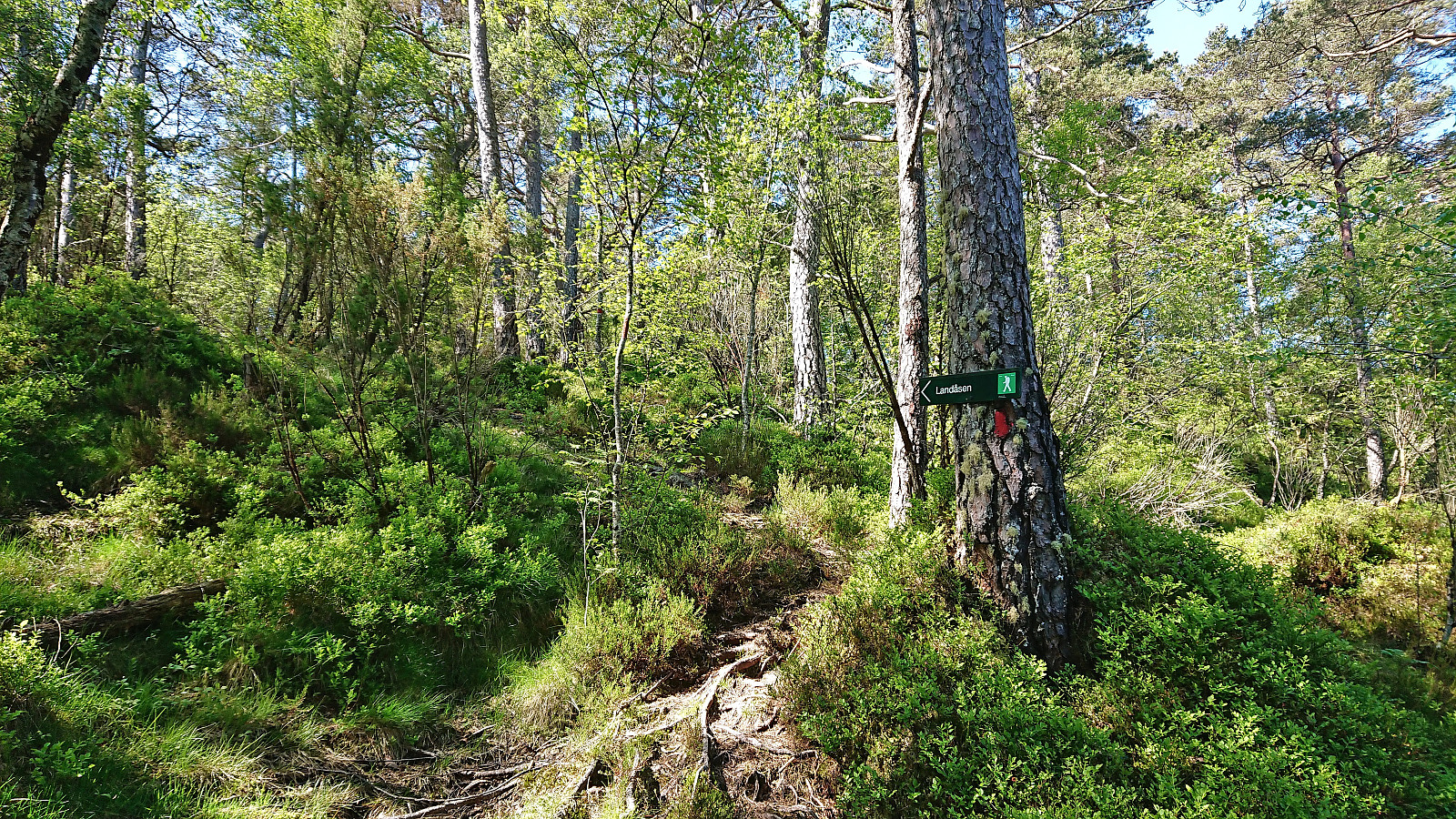
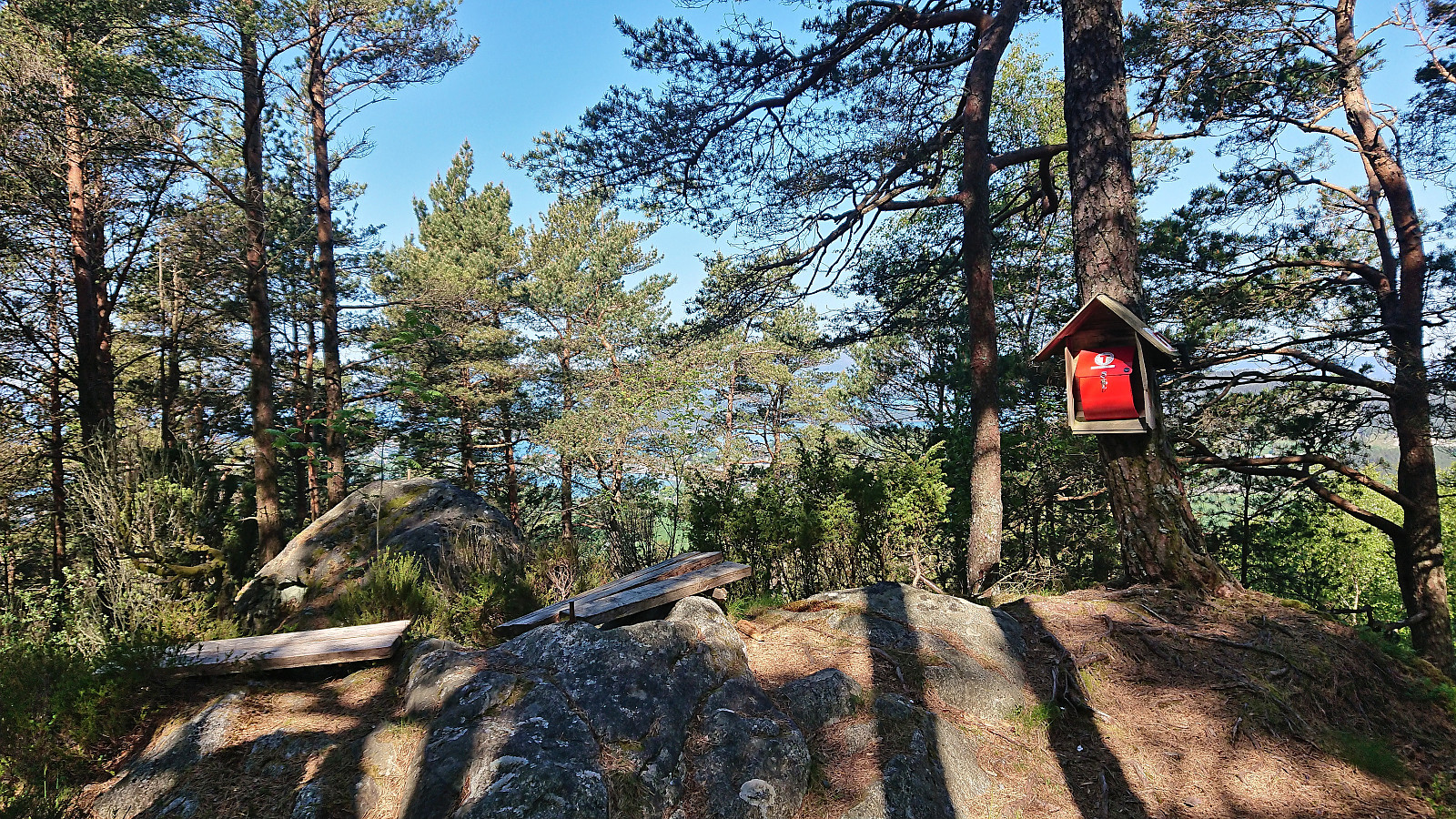
Landåsen
After visiting Sundnessåta, we drove the short distance north to the small parking lot south of Landåsen. From there we followed a tractor road almost all the way to the summit which turned into a trail towards the end. Rather limited views, both from the summit and along the way, hence we did not stay long before following an alternative and slightly more direct route back to the car. Interestingly, this alternative route was marked by an arrow at the summit and was overall easy to follow, but it was not indicated on the map displayed at the trailhead. Overall, not the most interesting hike, but at least it was straightforward to reach the summit.


| Hora de partida | 04.06.2023 10:22 (UTC+01:00 DST) |
| Hora punto final | 04.06.2023 11:04 (UTC+01:00 DST) |
| Tiempo total | 0h 42min |
| Tiempo en movimiento | 0h 41min |
| Tiempo de descanso | 0h 1min |
| Velocidad promedio en total | 4.0km/h |
| Tiempo en movimiento promedio | 4.2km/h |
| Distancia | 2.9km |
| Metros verticales | 161m |

Comentarios