Stedjeåsen (17.05.2018)

| punto de partida | Gravensteinsgata (9msnm) |
|---|---|
| Punto final | Gravensteinsgata (8msnm) |
| Tipo de excursión | Senderismo de montaña |
| Duración | 2h 32min |
| Distancia | 7.7km |
| Metros verticales | 672m |
| GPS |
|
| Ascensos | Stedjeåsen (624msnm) | 17.05.2018 |
|---|---|---|
| Otros PBEs visitados | Stedjeåsen tursti (610msnm) | 17.05.2018 |
| Stedjeåsen Turkasse (610msnm) | 17.05.2018 |
Stedjeåsen
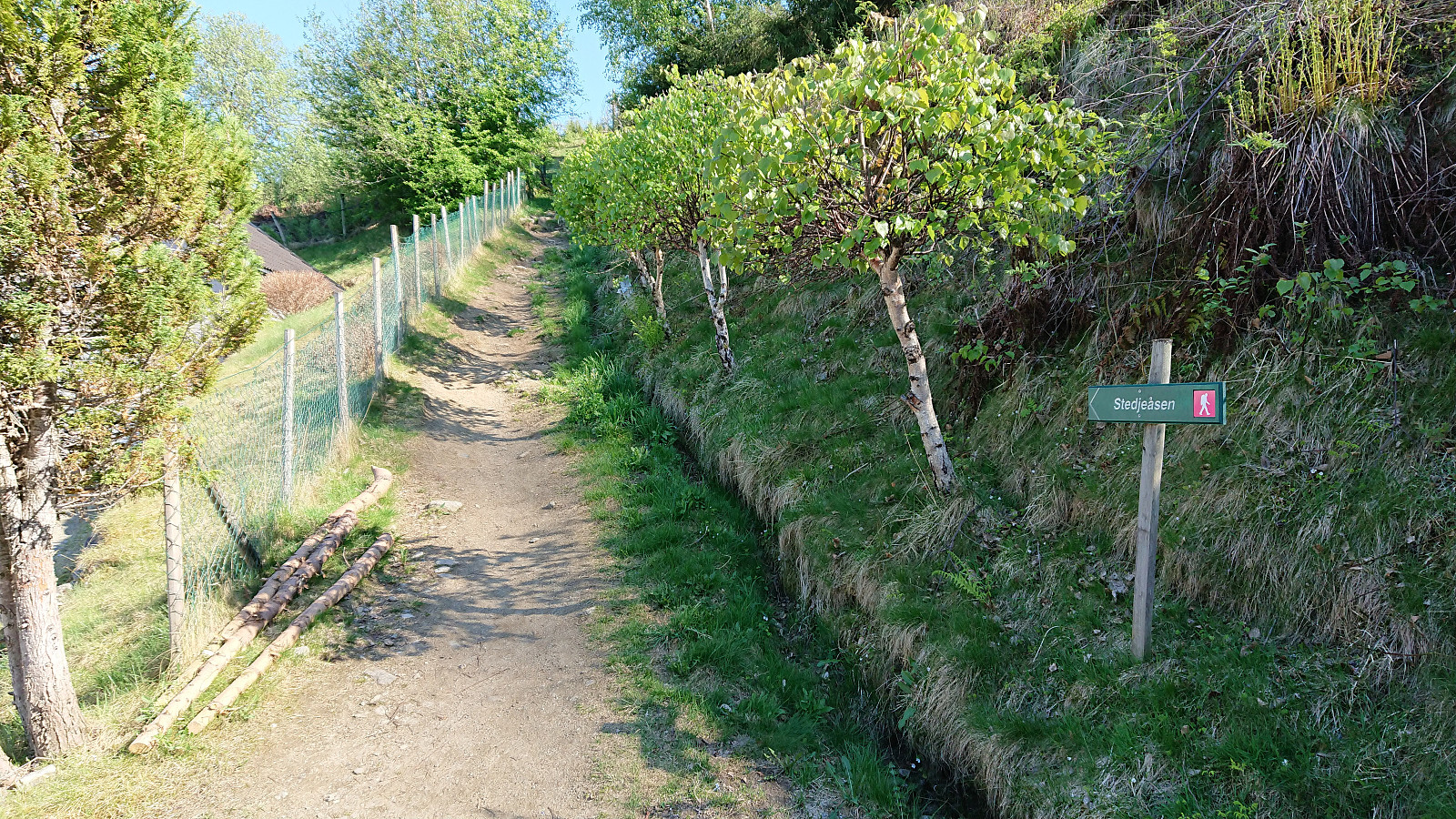
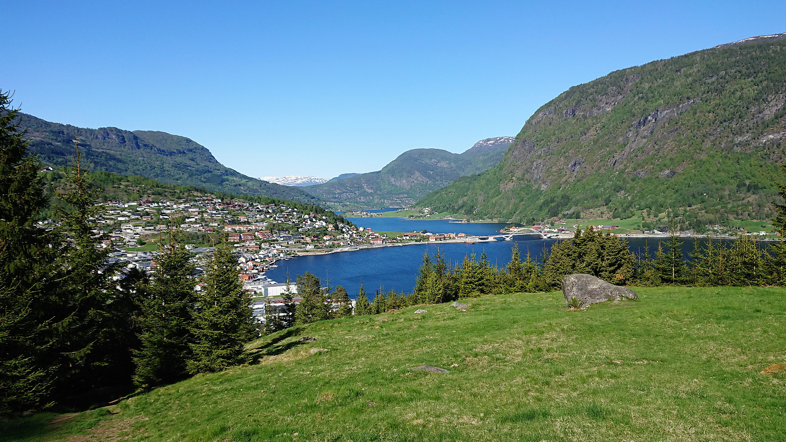
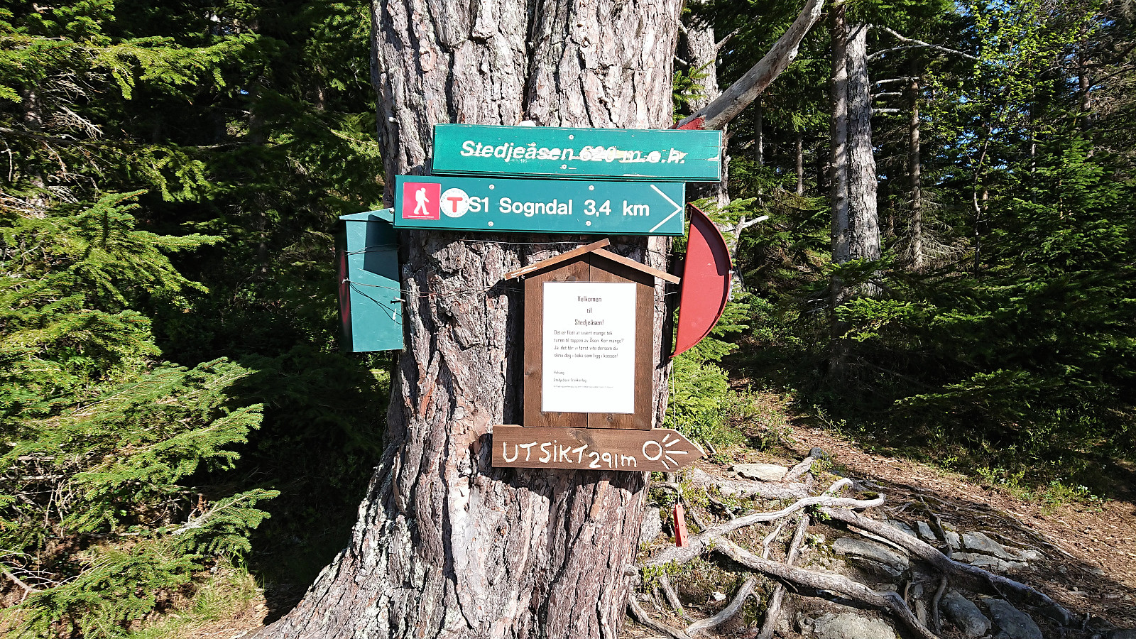
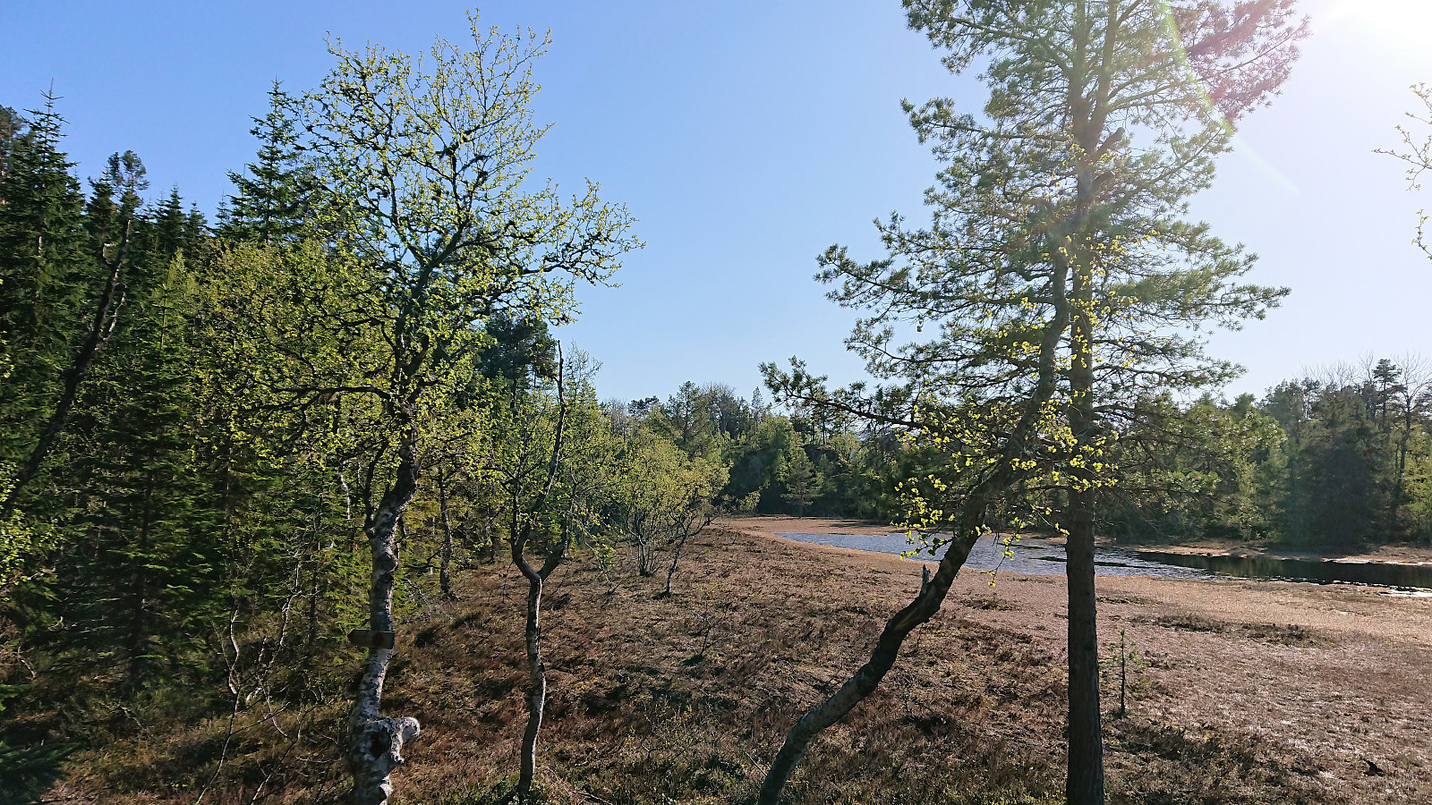
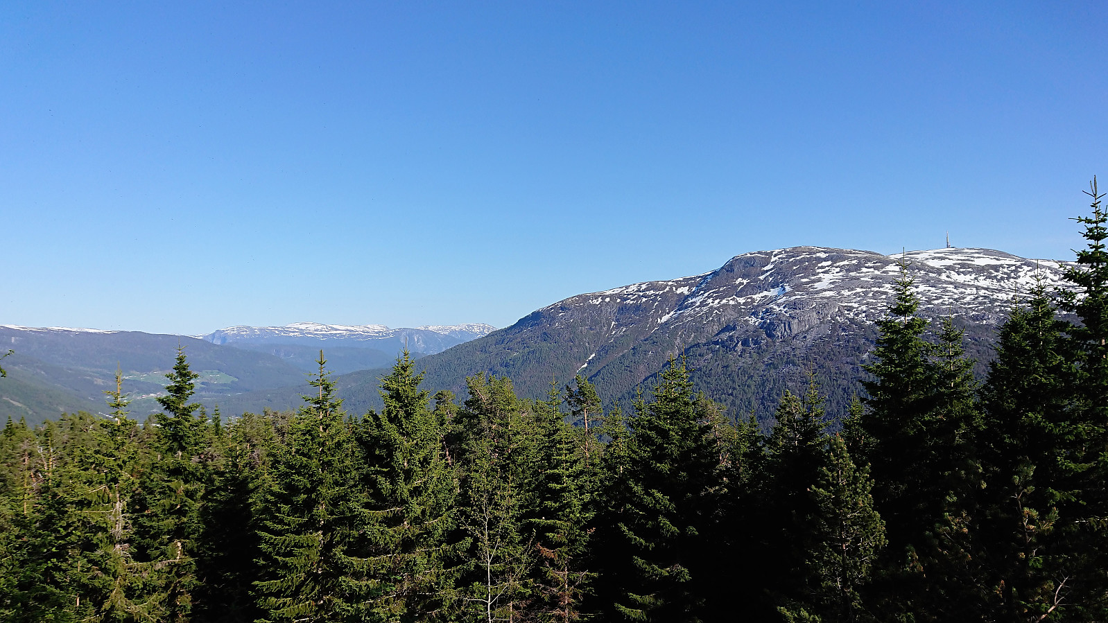
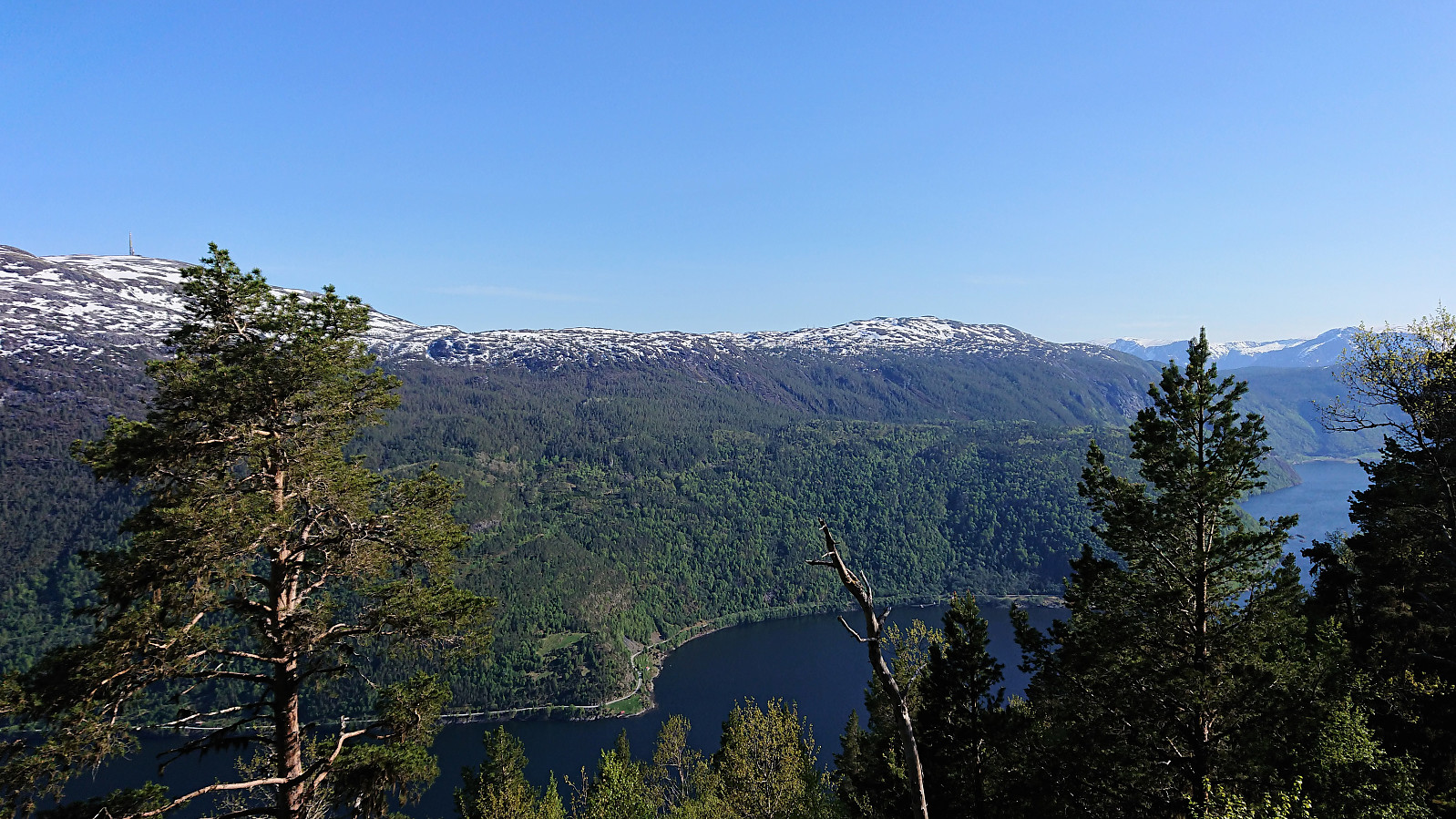
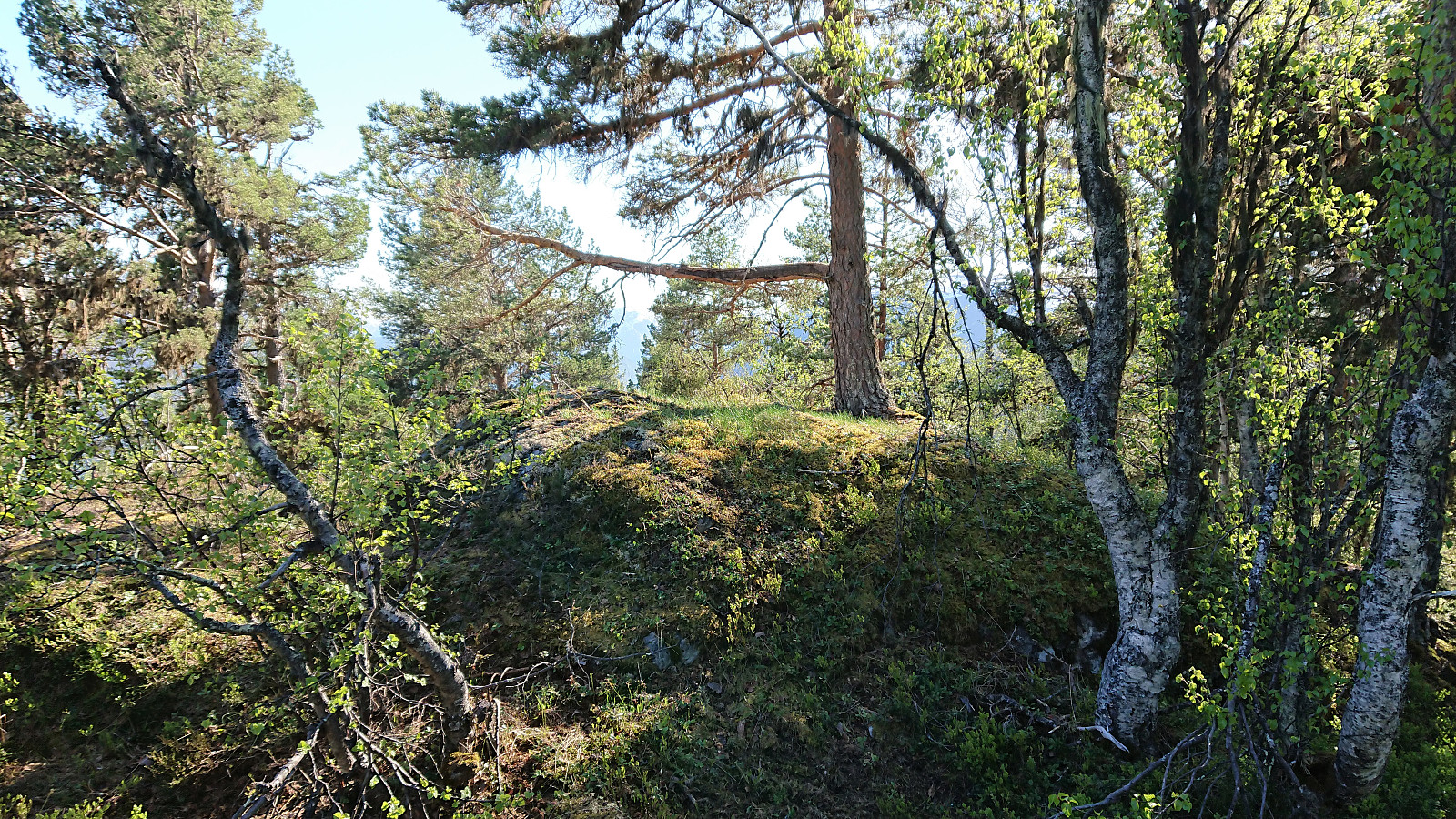
Short hike from the center of Sogndal to Stedjeåsen and back, along the nice marked trail. This time also visiting the highest point, which provided very limited views and can probably be skipped by most hikers. Note that there are no trails from the visitor register to the highest point.

| Hora de partida | 17.05.2018 16:38 (UTC+01:00 DST) |
| Hora punto final | 17.05.2018 19:11 (UTC+01:00 DST) |
| Tiempo total | 2h 32min |
| Tiempo en movimiento | 2h 30min |
| Tiempo de descanso | 0h 1min |
| Velocidad promedio en total | 3.0km/h |
| Tiempo en movimiento promedio | 3.1km/h |
| Distancia | 7.7km |
| Metros verticales | 672m |

Comentarios