
Exploring Skiparvika and Skjoldabukta (06.04.2026)

Written by HHauser (Helwig Hauser)

| Start point | Varden (45m) |
|---|---|
| Endpoint | Varden (45m) |
| Characteristic | Bike trip - mixed |
| Duration | 4h 00min |
| Distance | 32.6km |
| Vertical meters | 829m |
| GPS |
|
| Visits of other PBEs | Skjoldabukta (5m) | 06.04.2026 |
|---|---|---|
| Straume bro (5m) | 06.04.2026 |

Note that this track has been created from memory, i.e., it was not recorded automatically.
Trip Summary
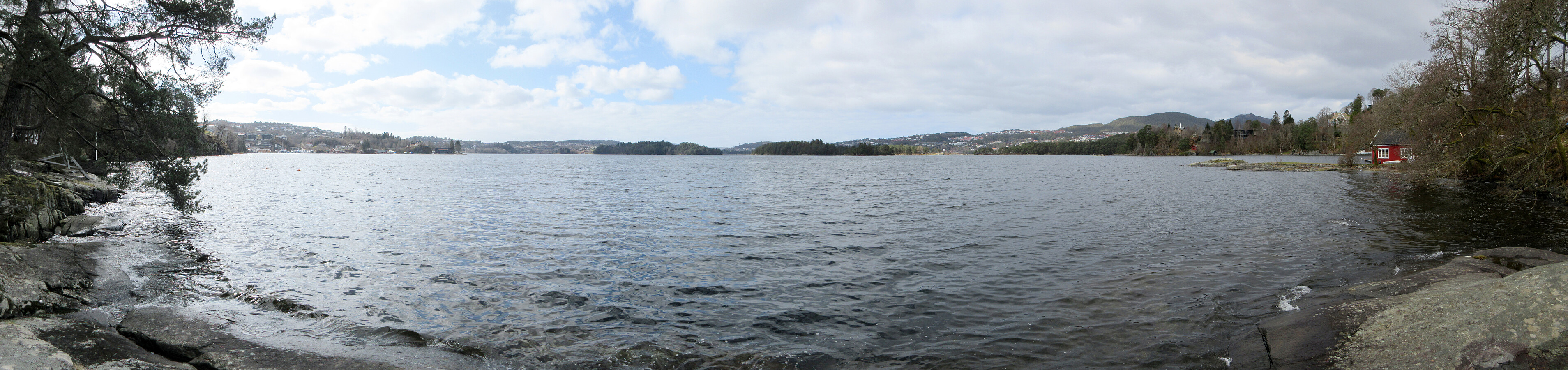
Just a nice bike trip around Nordåsvatnet (with a bit of exploration near Skjoldabukta). In the southwest of Nordåsvatnet, we followed a "side-line", which brought us to Skranevatnet and Håvardstunvatnet, before passing also by Skeievatnet (then in the south of Nordåsvatnet). After thereafter cycling around Apeltunvatnet, we arrived at Skjold, where we left the bikes behind for a short walk to Skiparvika and Skjoldabukta. On our way back, we traversed Nybøvegen before reconnecting with more usual paths. Just near Hopsbukta, we also included a short detour along Nordahl Griegs vei, before then following the standard route back.
Useful Resources
See also the related FB-page Hiking around Bergen, Norway.


User comments