
Stovegolvet from Grov (24.01.2026)

Written by hbar (Harald Barsnes)

| Start point | Grovavegen E39 (71m) |
|---|---|
| Endpoint | Storhaugen/Grov E39 (61m) |
| Characteristic | Hillwalk |
| Duration | 5h 02min |
| Distance | 17.8km |
| Vertical meters | 813m |
| GPS |
|
| Ascents | Stovegolvet (702m) | 24.01.2026 |
|---|---|---|
| Visits of other PBEs | Fjellstova (204m) | 24.01.2026 |
| Fjellstova p-plass (202m) | 24.01.2026 | |
| Heia p-plass (390m) | 24.01.2026 | |
| Kvelve (590m) | 24.01.2026 | |
| Lundarstøl (212m) | 24.01.2026 | |
| Fossatrappo (500m) | 24.01.2026 | |
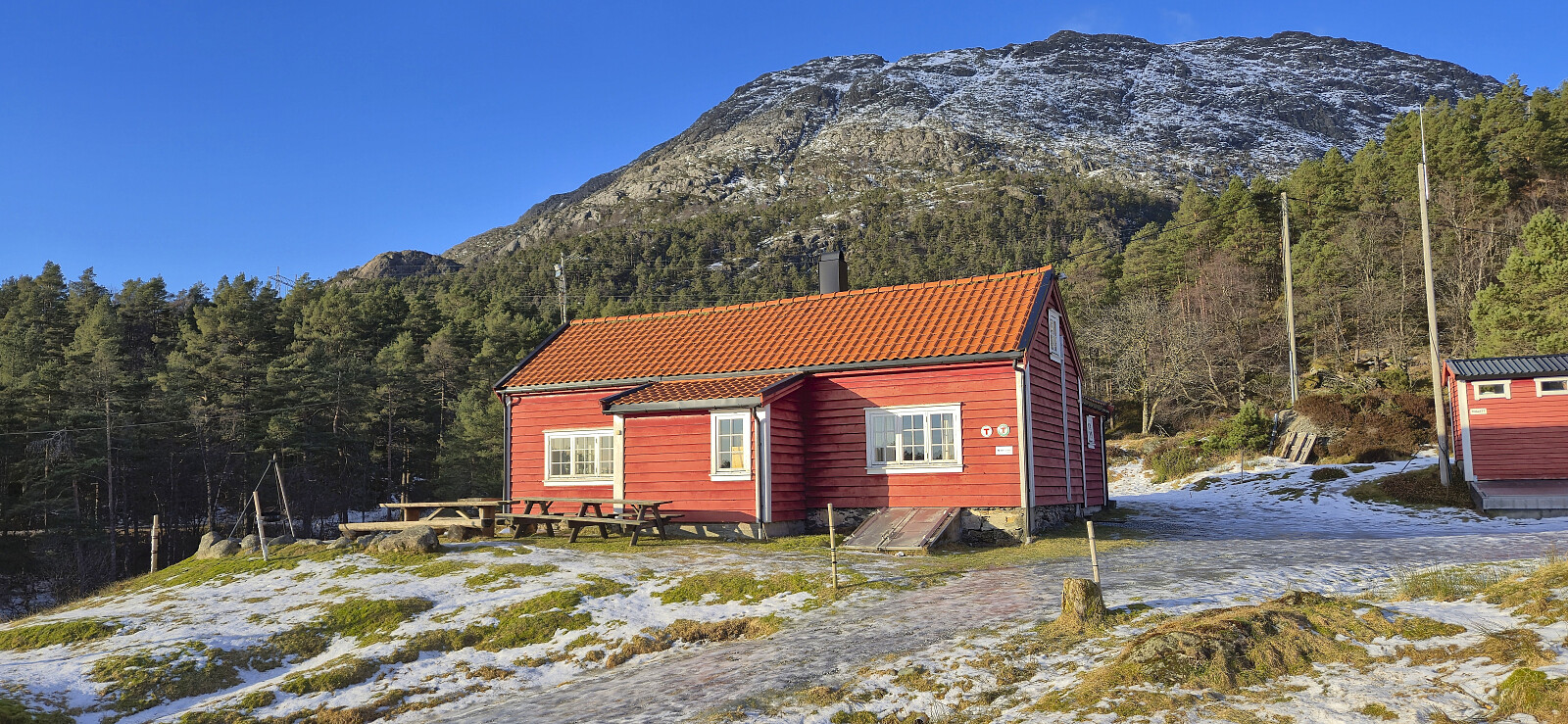
| Stovegolvet Turisthytte (695m) | 24.01.2026 | |
| Stovegolvet sikteskive (700m) | 24.01.2026 |
Stovegolvet from Grov
Warning: This hike includes a steep ascent that can potentially be dangerous under certain winter conditions. Read the report carefully.
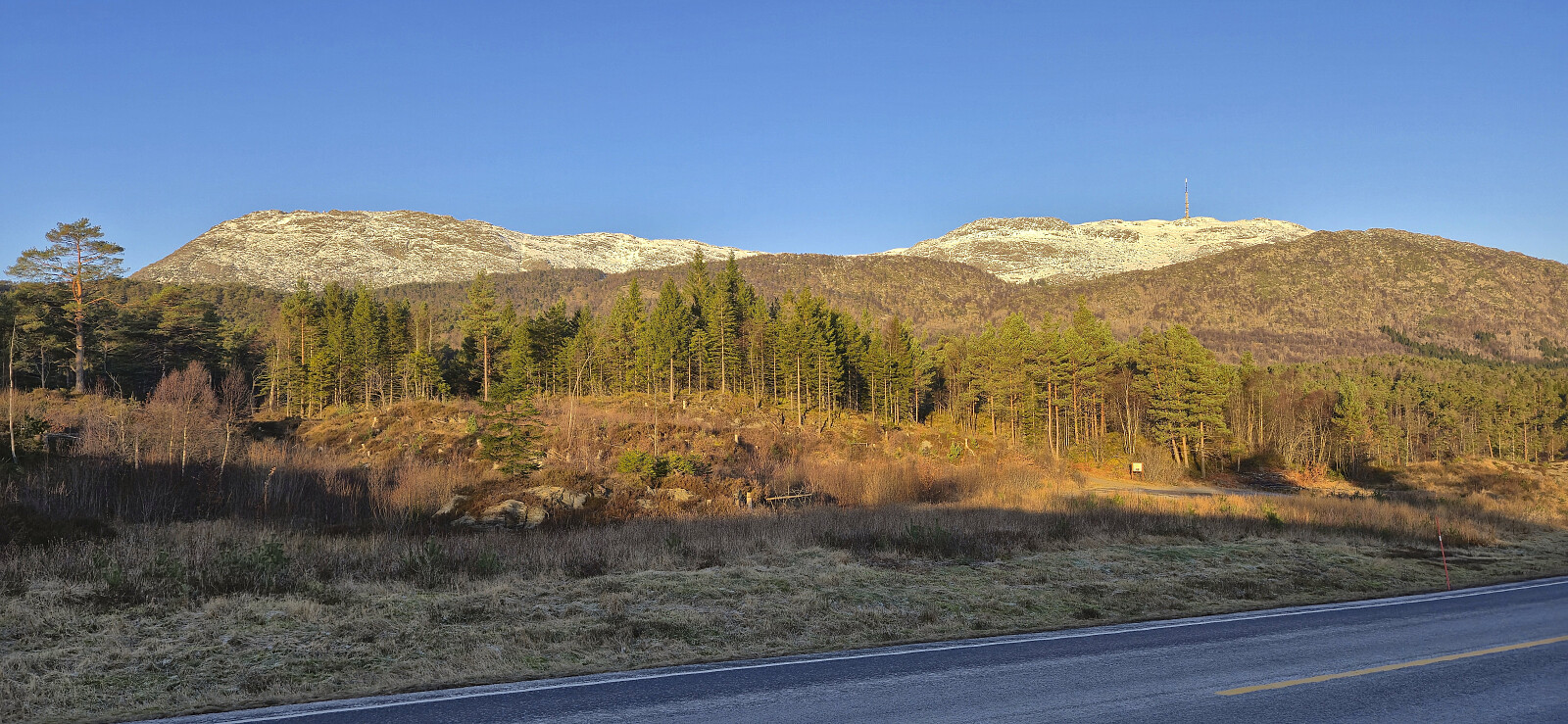
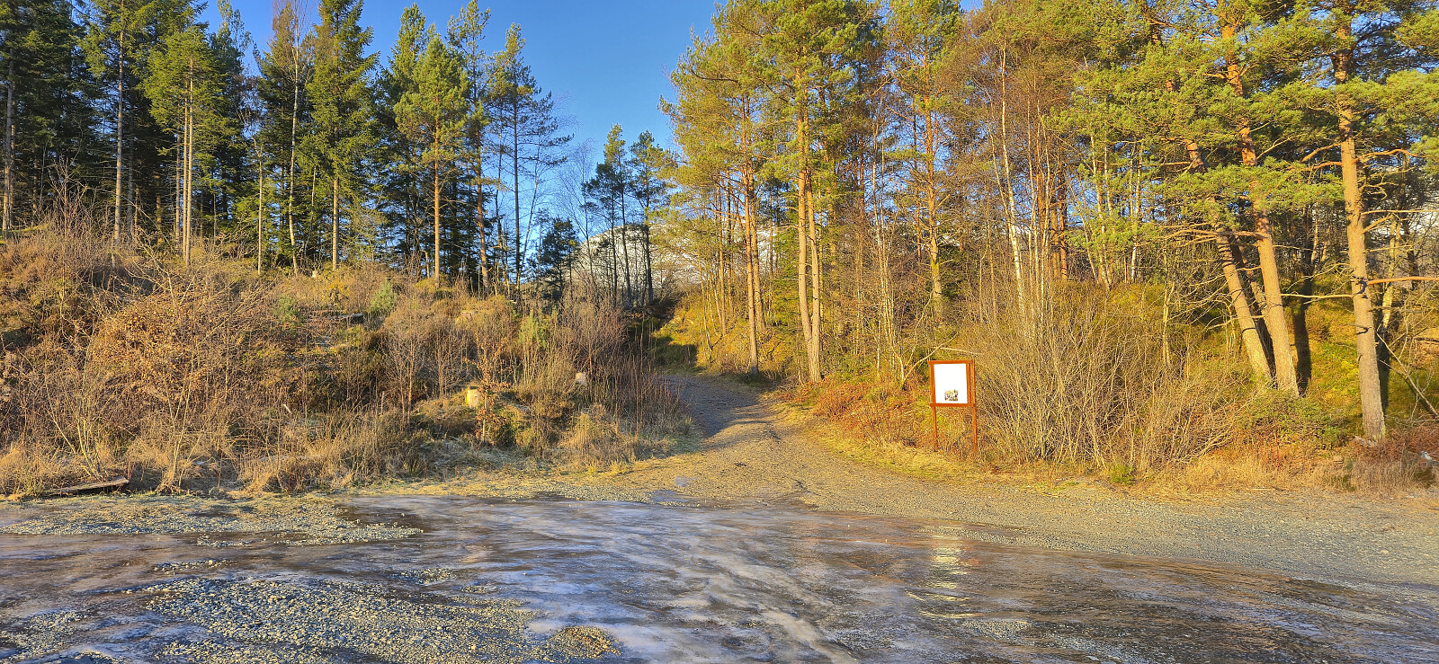
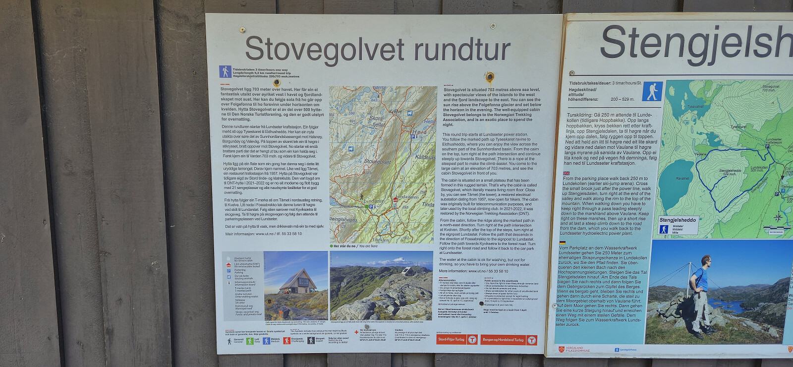
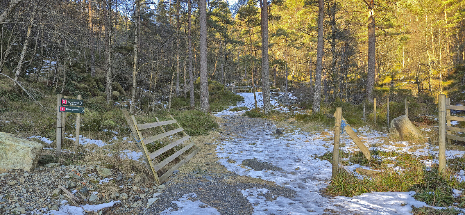
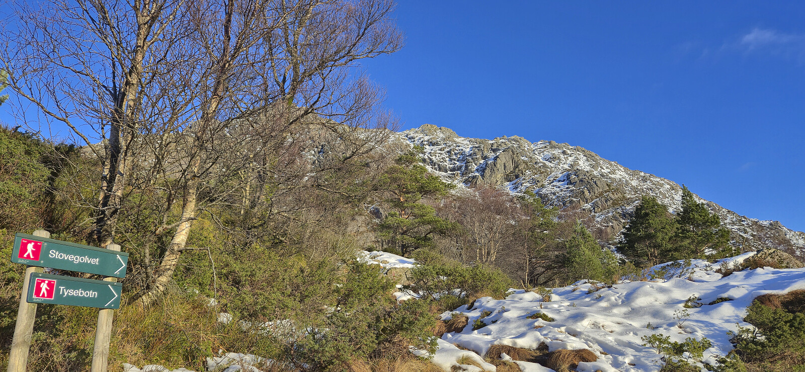
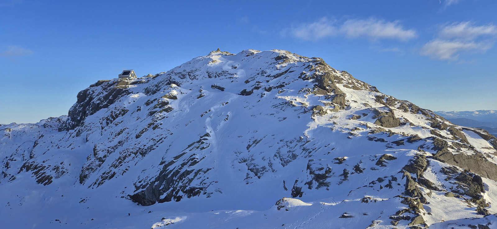
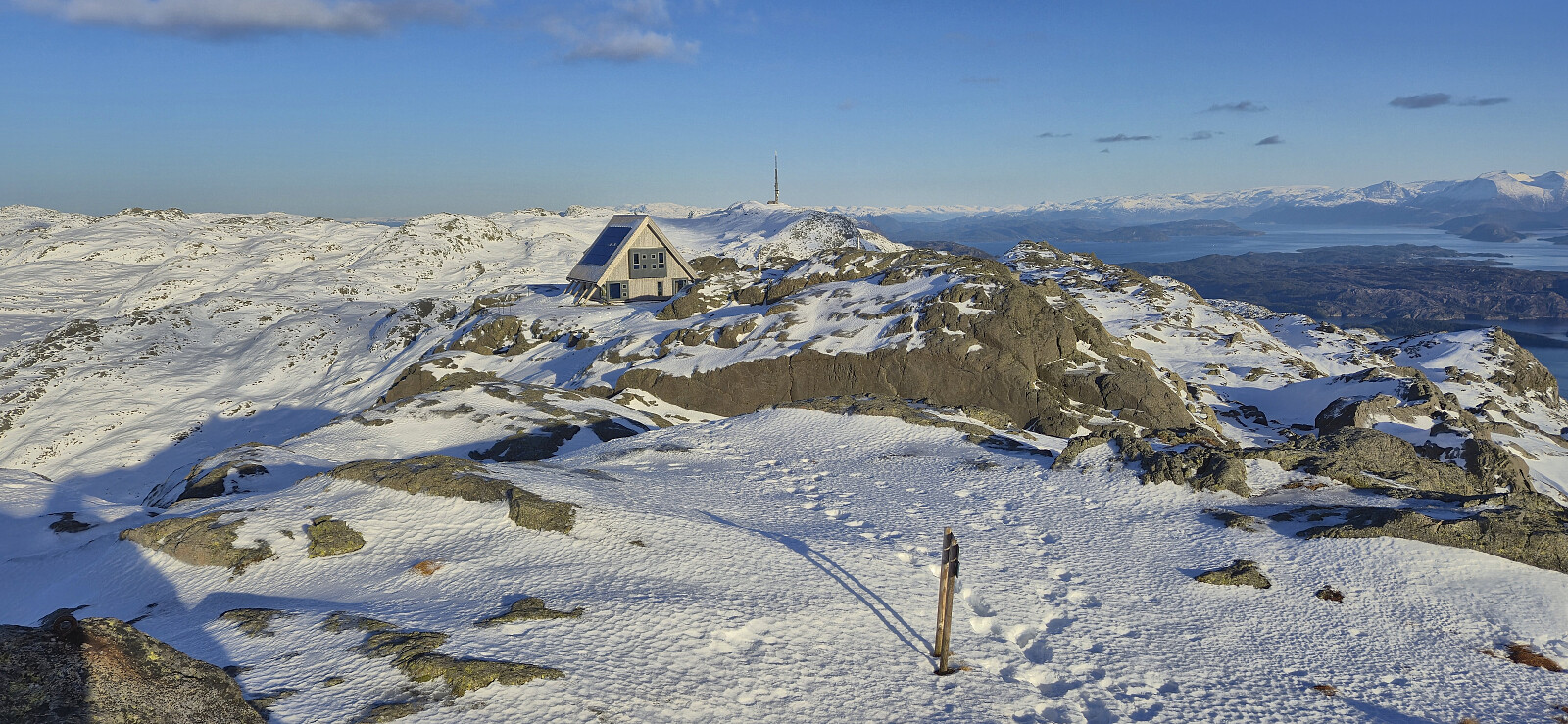
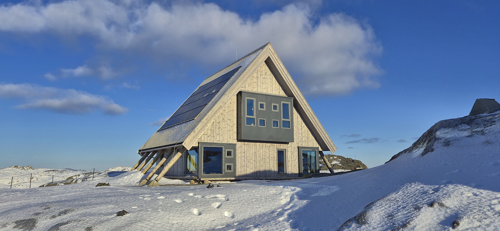
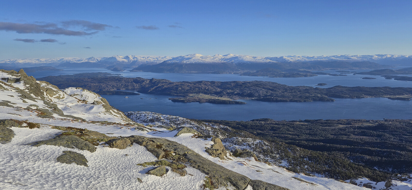
A return to Stord to ascend Stovegolvet and visit the DNT cabin with the same name. After taking the bus (and ferry) to Stord I had planned to get off at Grov, however the bus driver failed to notice that I had pressed the stop button and I ended up with an extra kilometer warm up along Grovavegen before arriving at my intended starting point. I began by following the same route southwest to Lundsetervegen as for my trip to Steingilshøgda, Klovfjellet and Budalsfjellet and continued along the paved road to the large parking lot at Lundseter where I easily located the marked trailhead.
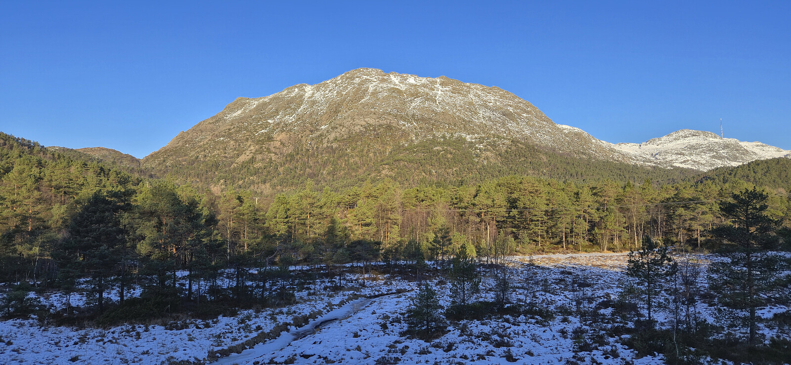
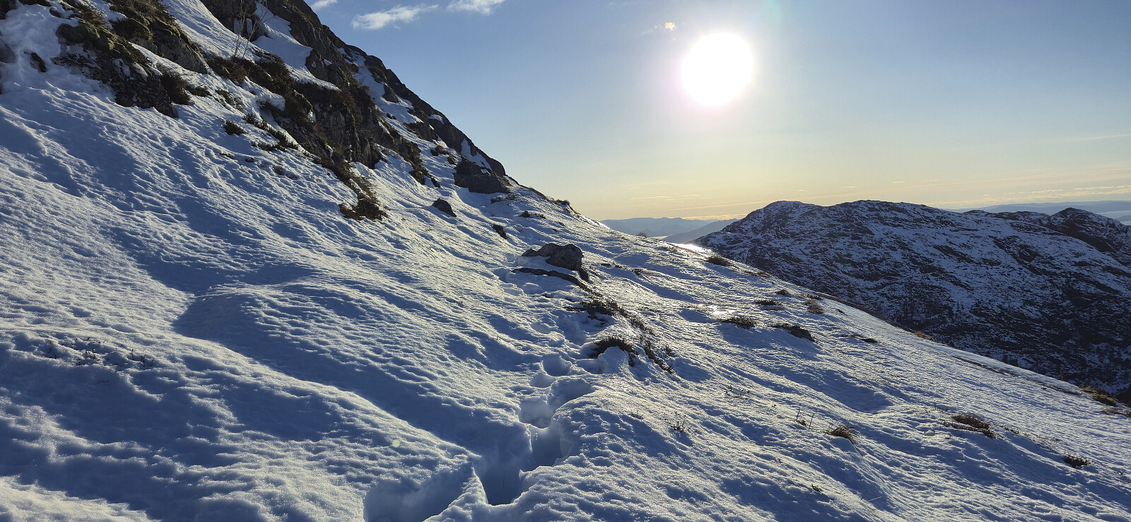
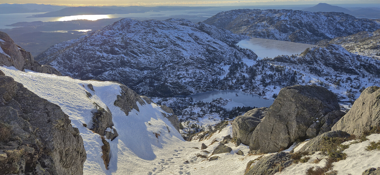
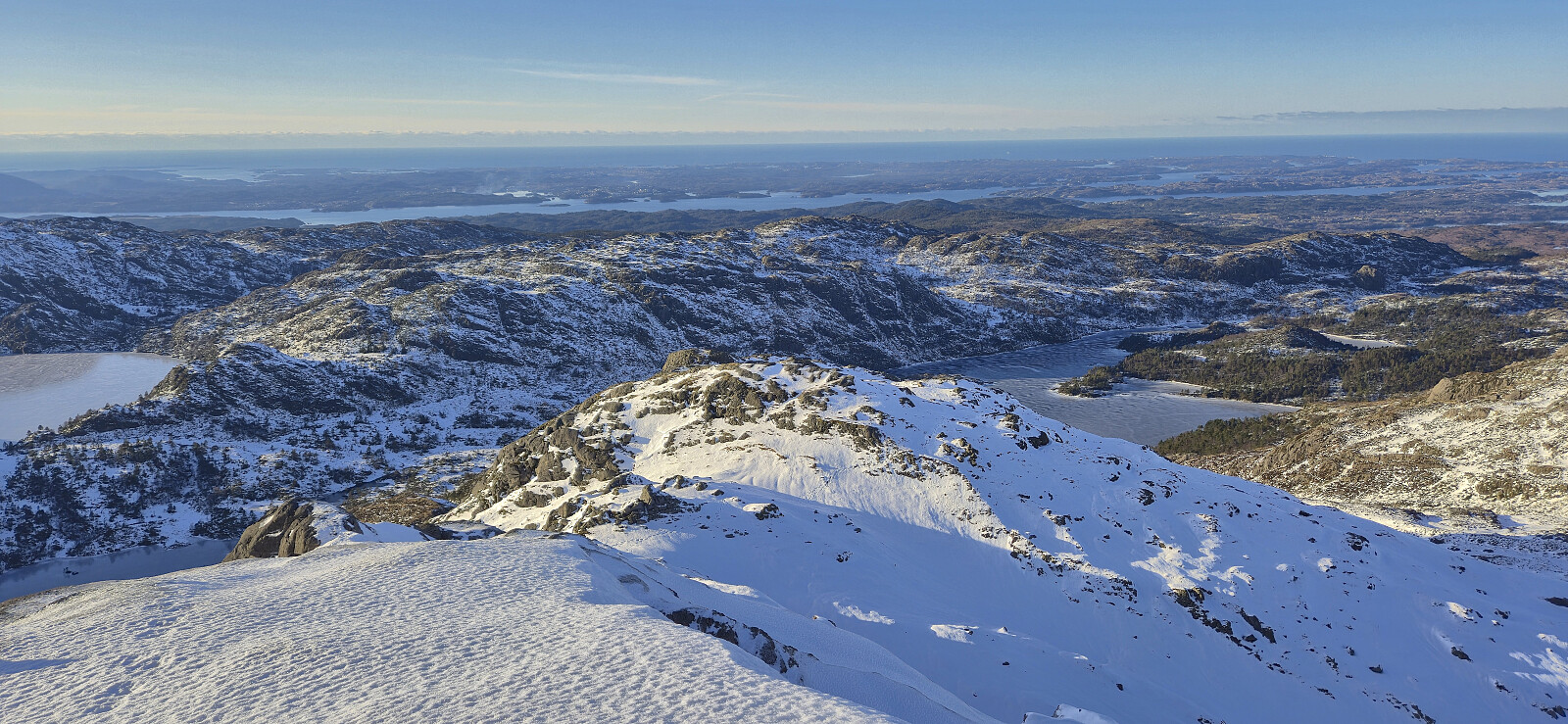
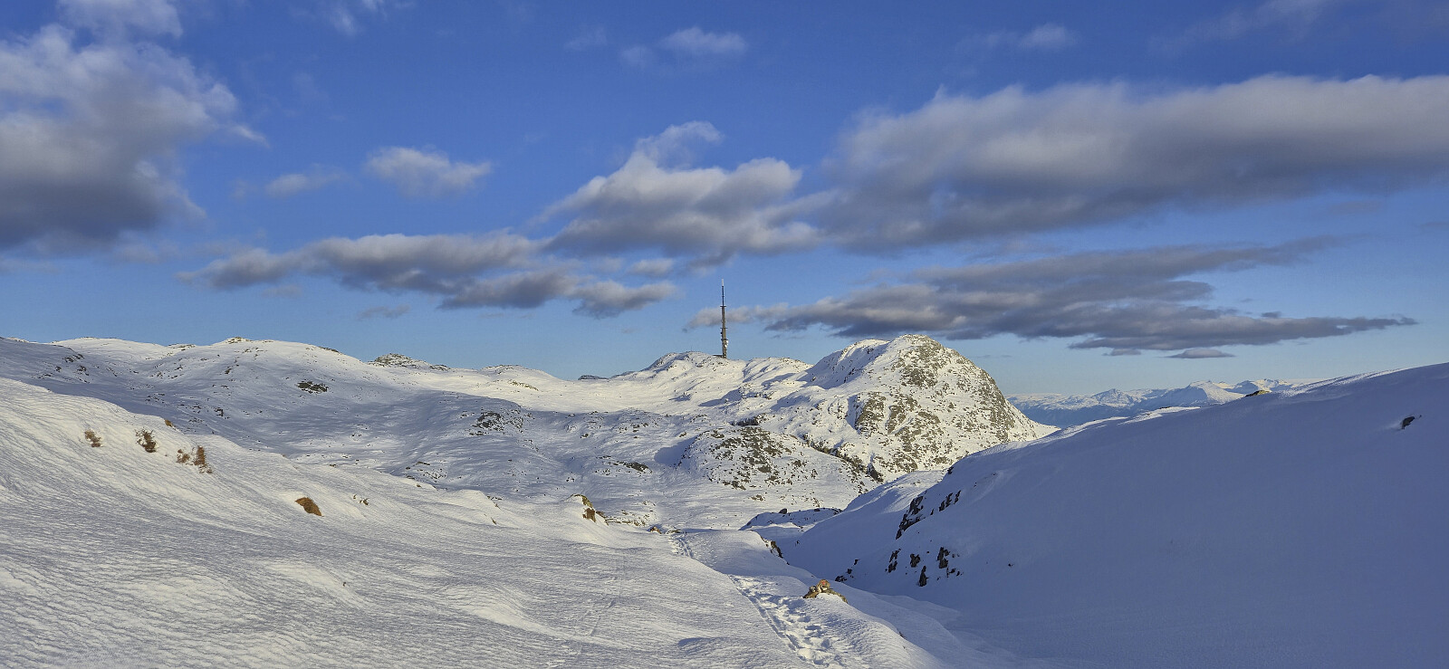
From the trailhead I followed the marked trail northwest before turning east and beginning the steep ascent towards the summit. It quickly became apparent that this part of the ascent would be much more challenging than expected, mainly due to the hard-packed snow and ice combined with the steep gradient. Even with proper snow chains there were still a couple of places where I had to be extra careful as a fall could easily turn into a slide that would have been difficult to stop.
Thankfully, there were a couple of older footprints in the snow that provided a bit of extra support and were also particularly useful given that the trail itself was completely hidden underneath the snow with only the occasional red T being visible. The footprints did not always follow the trail indicated in the map though but overall they provided a reasonable route to the summit, and on the one occasion where I attempted to locate a less steep alternative I quickly had to revert to the route indicated by the footprints.
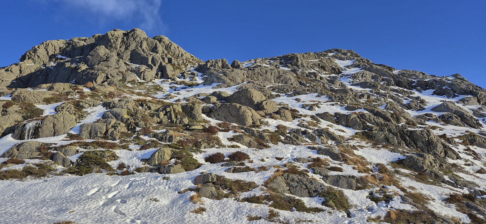
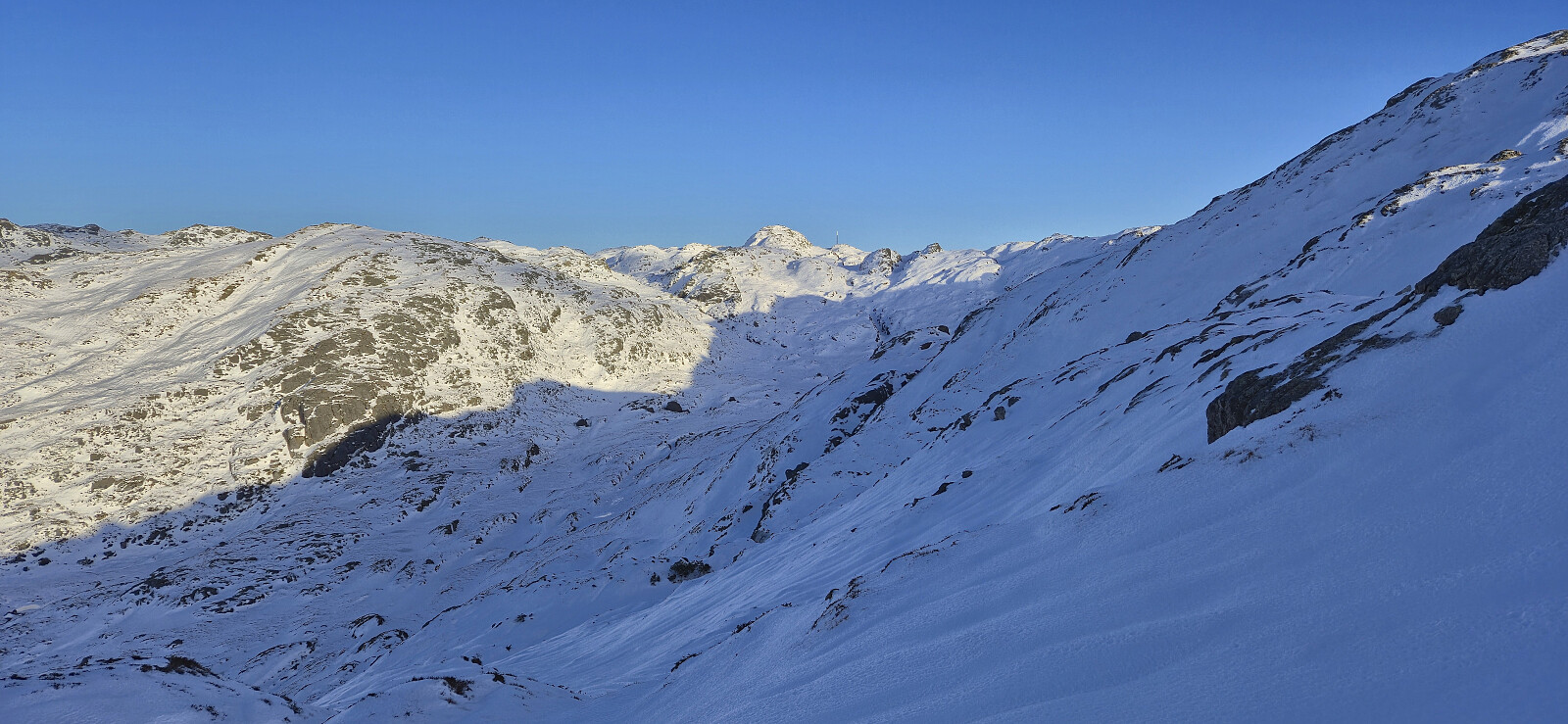
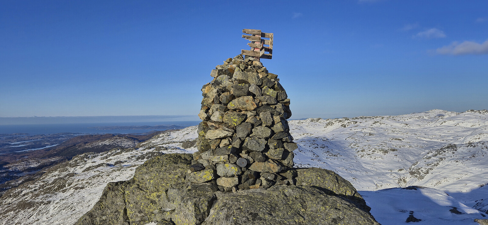
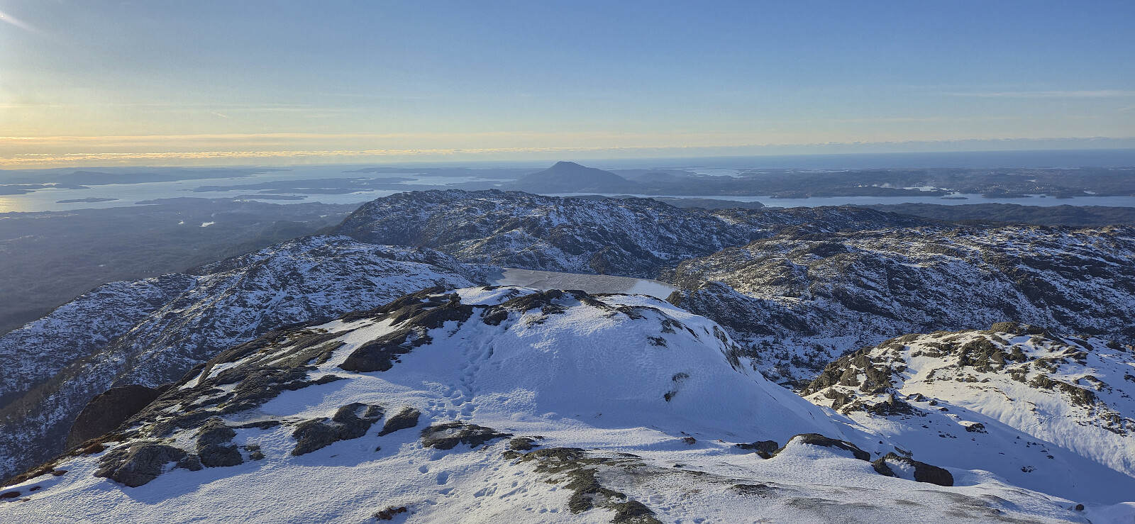
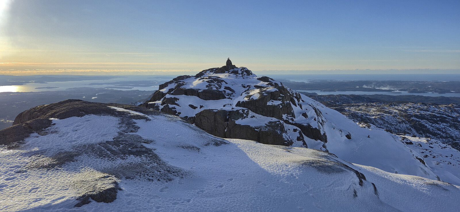
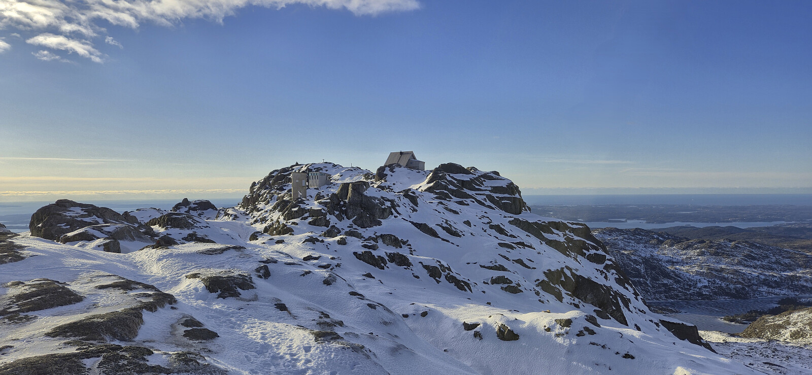
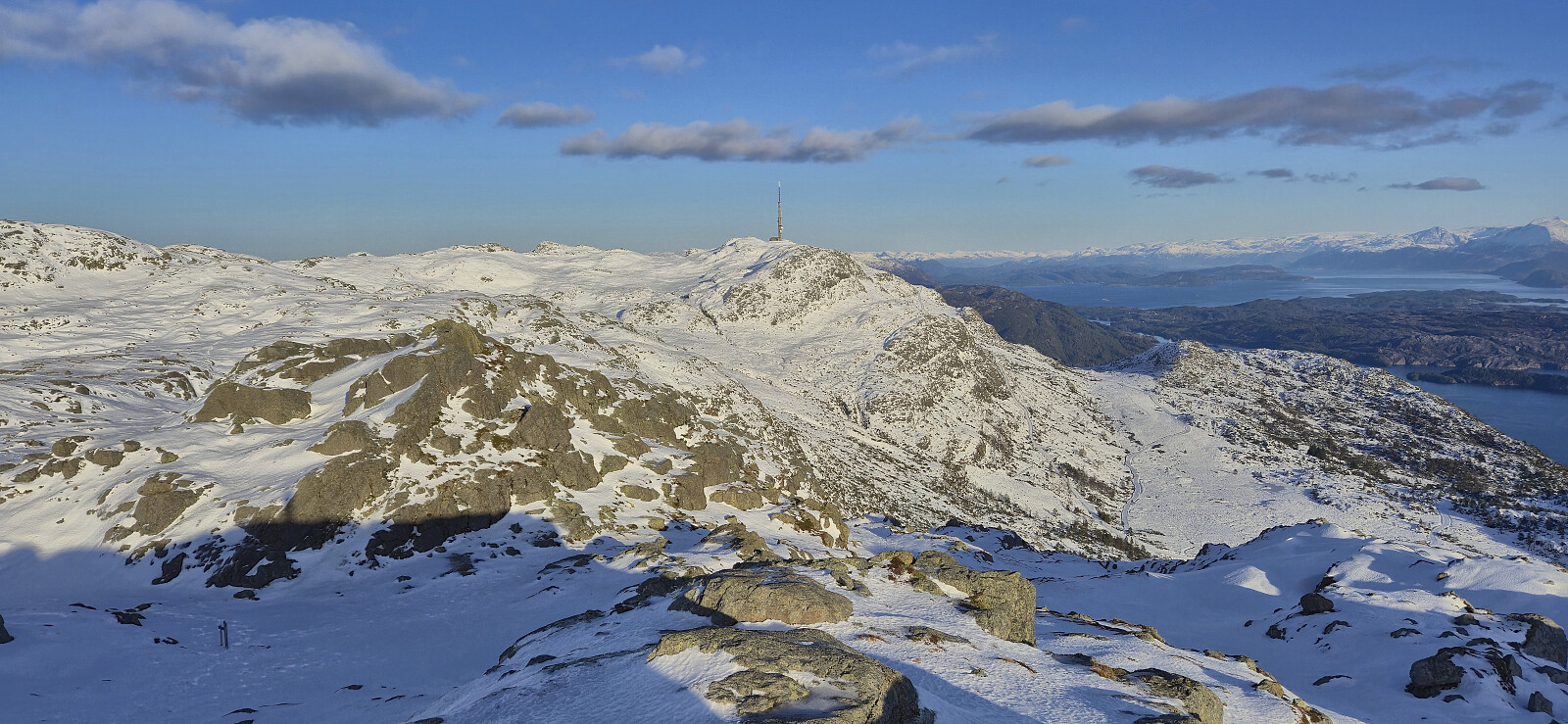
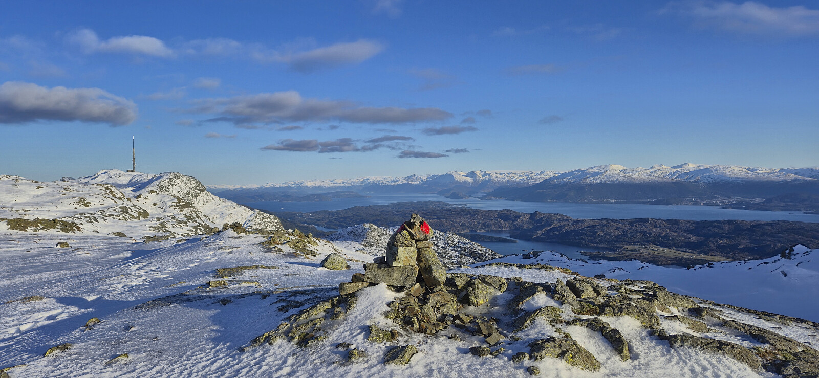
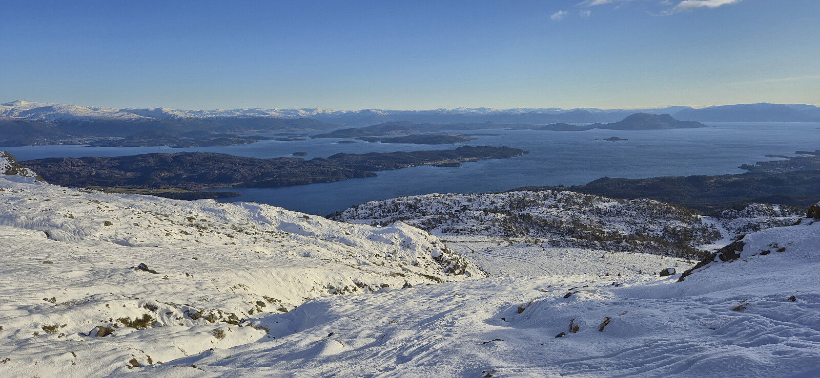
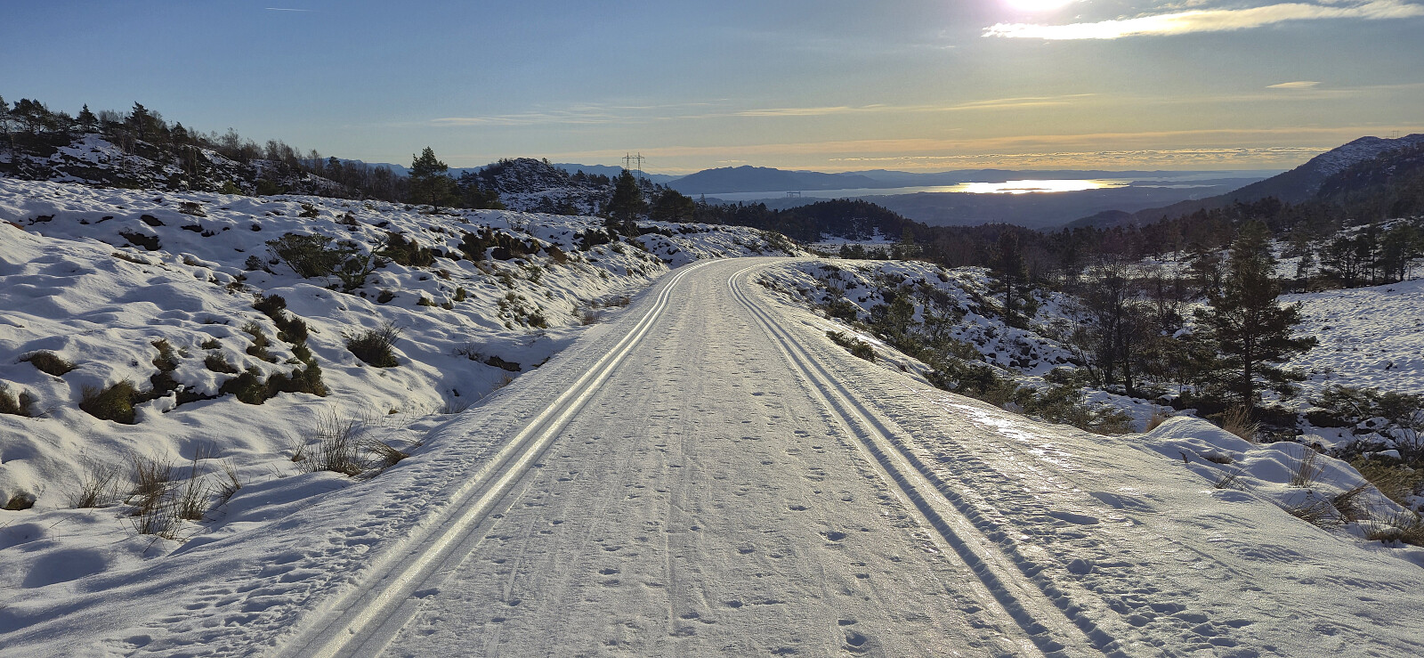
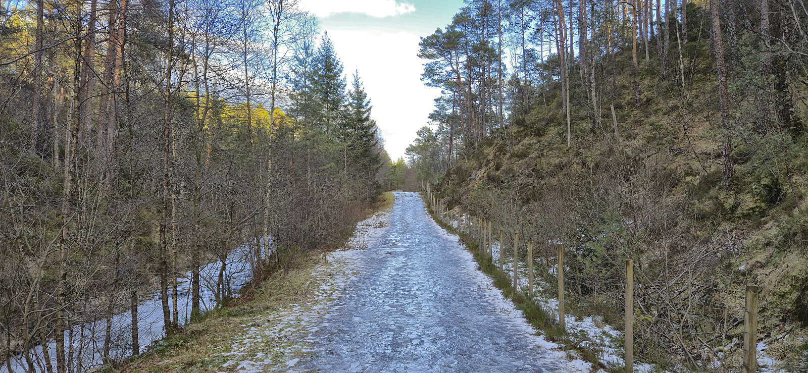
Upon finally making it to the summit, I had assumed that getting from there to the cabin would be straightforward, however there was yet another steepish small valley that had to be traversed. With this last hurdle overcome I was happy to be done with the difficult part of the hike. After a couple of pictures I followed the marked trail north/northeast and then descend via Fossatrappo (although most of the stone steps were hidden under the snow) to Kattnakkevegen. The hike was completed by walking along the various roads and trails, with various degrees of snow and ice, back to Grov for the bus to Bergen.
In summary, a winter ascent to Stovegolvet via the steep route from the west should generally be avoided, especially under snowy/icy conditions. It is much safer to ascend from the north/northeast, although the final ascent to the cairn may still be a challenge.
| Start date | 24.01.2026 10:04 (UTC+01:00) |
| End date | 24.01.2026 15:07 (UTC+01:00) |
| Total Time | 5h 02min |
| Moving Time | 4h 46min |
| Stopped Time | 0h 16min |
| Overall Average | 3.5km/h |
| Moving Average | 3.7km/h |
| Distance | 17.8km |
| Vertical meters | 812m |


User comments