
Kampestølsrusta, Giskanuten and Nordvest for Jonåsen (20.09.2025)

Written by hbar (Harald Barsnes)

| Start point | Tveitedalen p-plass (208m) |
|---|---|
| Endpoint | Jonåsen p-plass (190m) |
| Characteristic | Hillwalk |
| Duration | 4h 15min |
| Distance | 11.1km |
| Vertical meters | 814m |
| GPS |
|
| Ascents | Kampestølsrusta (419m) | 20.09.2025 13:10 |
|---|---|---|
| Giskanuten (552m) | 20.09.2025 15:02 | |
| Nordvest for Jonåsen (457m) | 20.09.2025 16:17 | |
| Visits of other PBEs | Tveitedalen p-plass (210m) | 20.09.2025 12:27 |
| Jonåsen p-plass (190m) | 20.09.2025 16:43 |
Kampestølsrusta, Giskanuten and Nordvest for Jonåsen
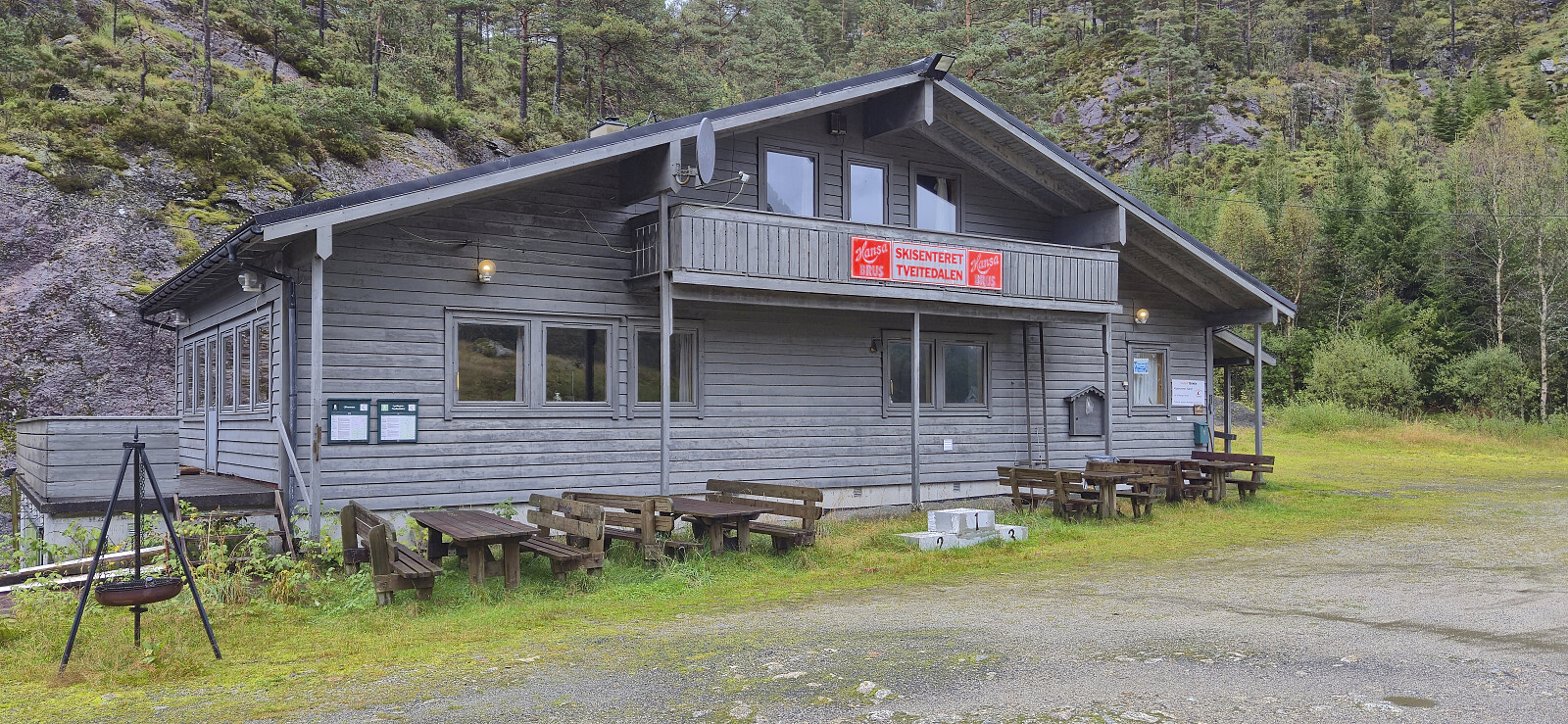
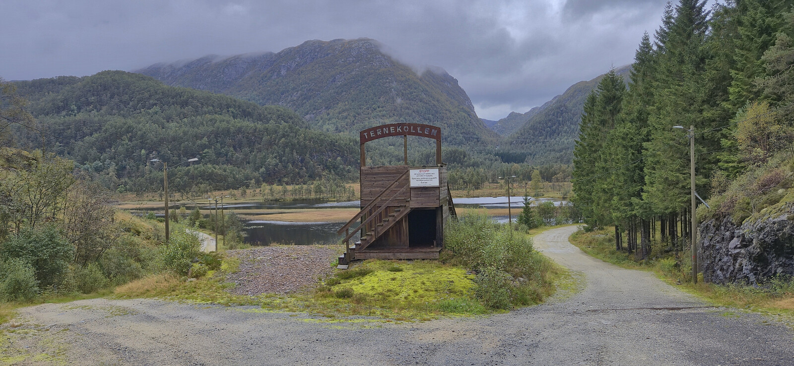
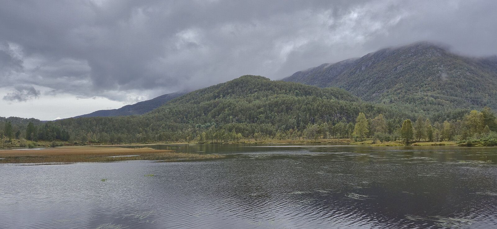
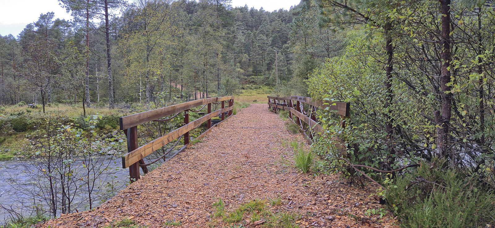
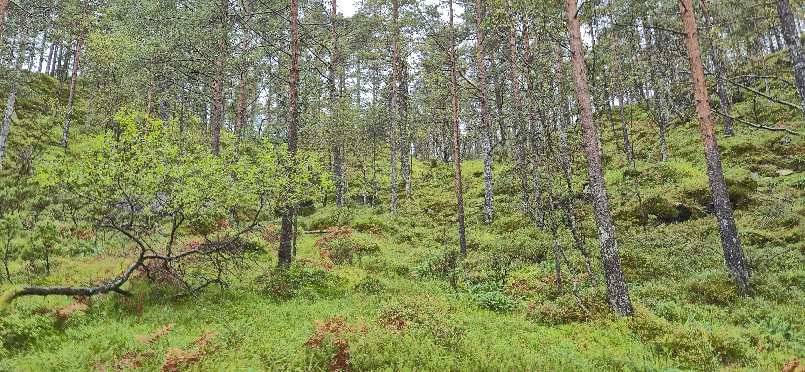
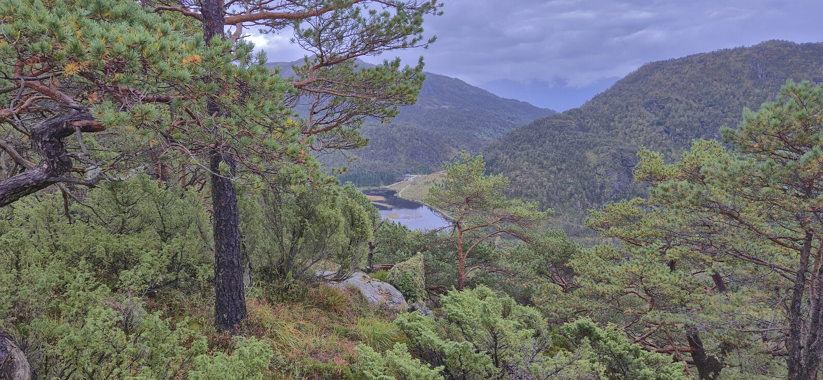
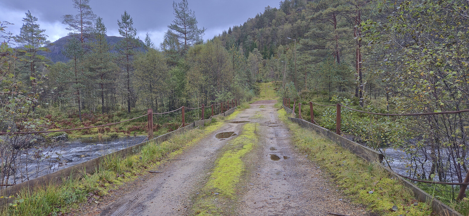
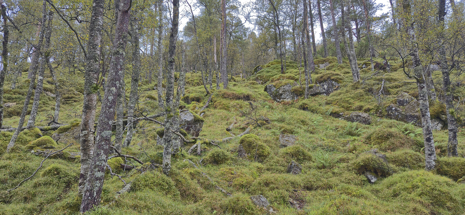
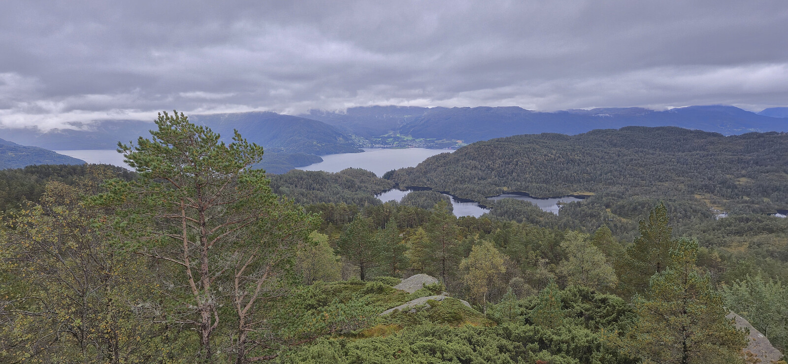
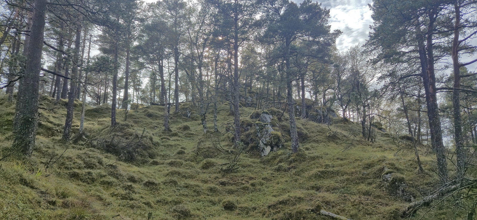
After ascending Holmedalsfjellet, Petter and I drove the short distance north to Tveitedalen p-plass. Here we left the car behind and continued on a gravel road on the east side of Bakkastølsvatnet. After crossing a bridge north of the lake we then made our way off-trail towards the summit of Kampestølsrusta, following deer tracks whenever these seem to head in the wanted direction.
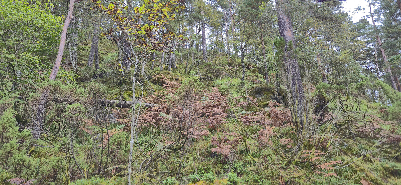
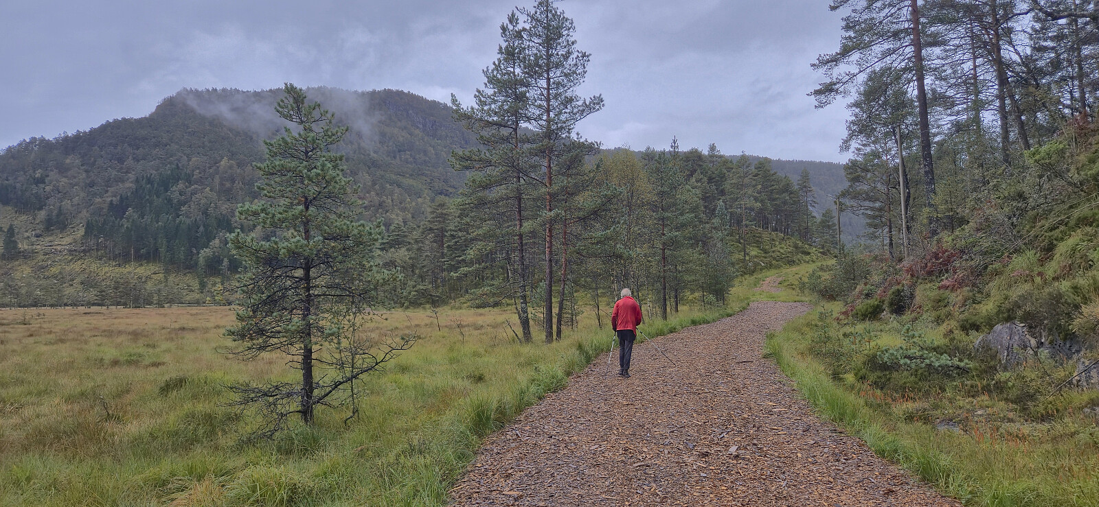
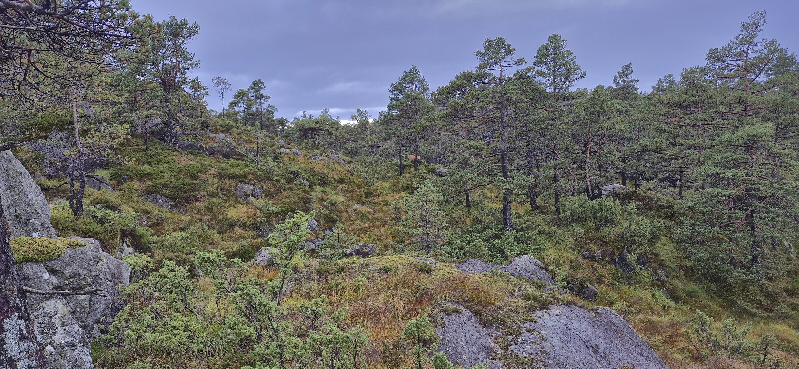
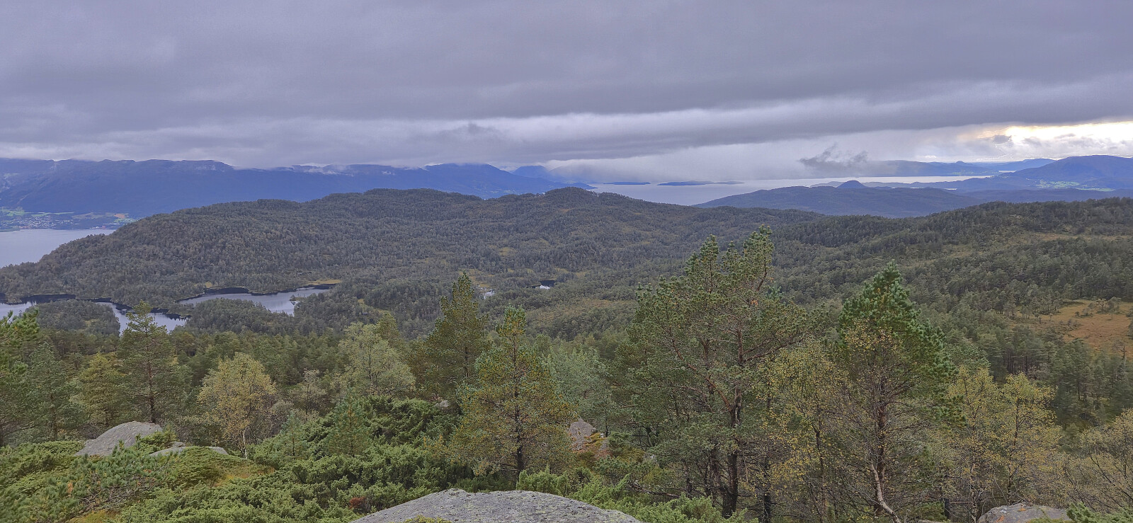
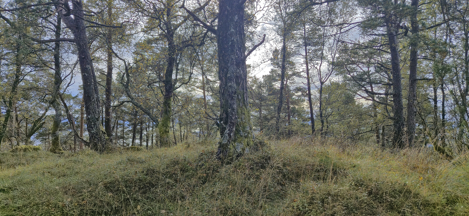
Except for one steepish section that required a bit of easy route-finding, we had no real challenges getting up to the ridge which we then proceeded to follow via several false summits to arrive at the highest point. We did not stay long before descending the same way and then followed a road used for skiing that took us to the bridge on the west side of Bakkastølsvatnet. Petter than returned to the car, while I started my off-trail ascent to Giskanuten, a summit he had already visited back in 2014.
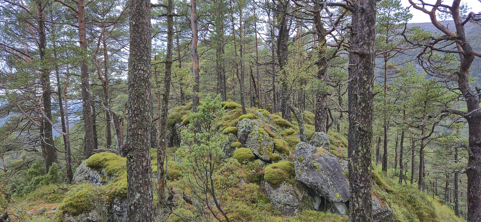
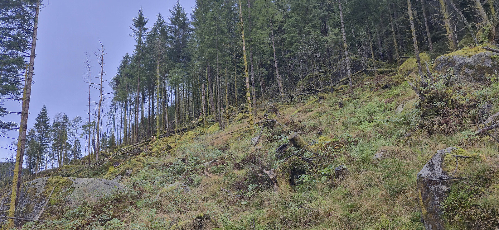
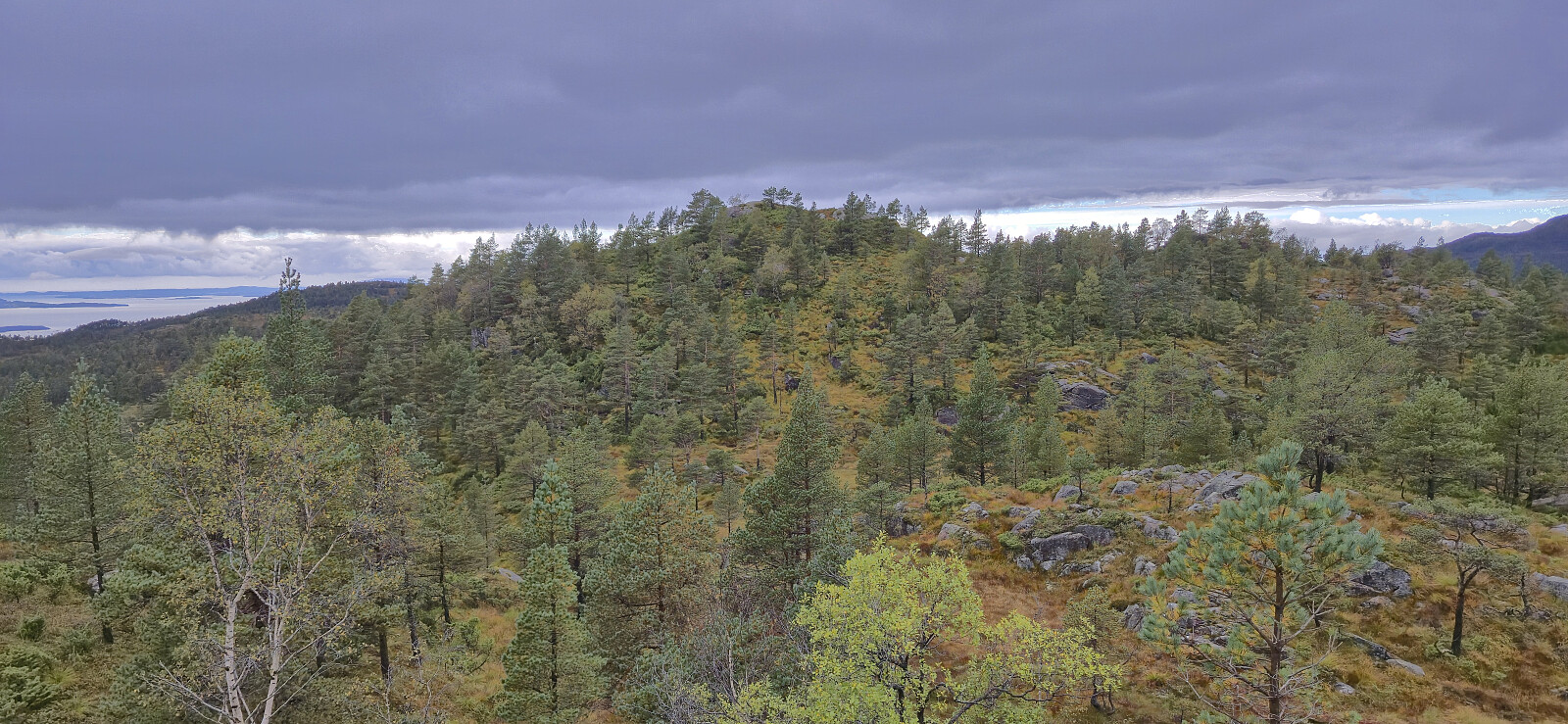
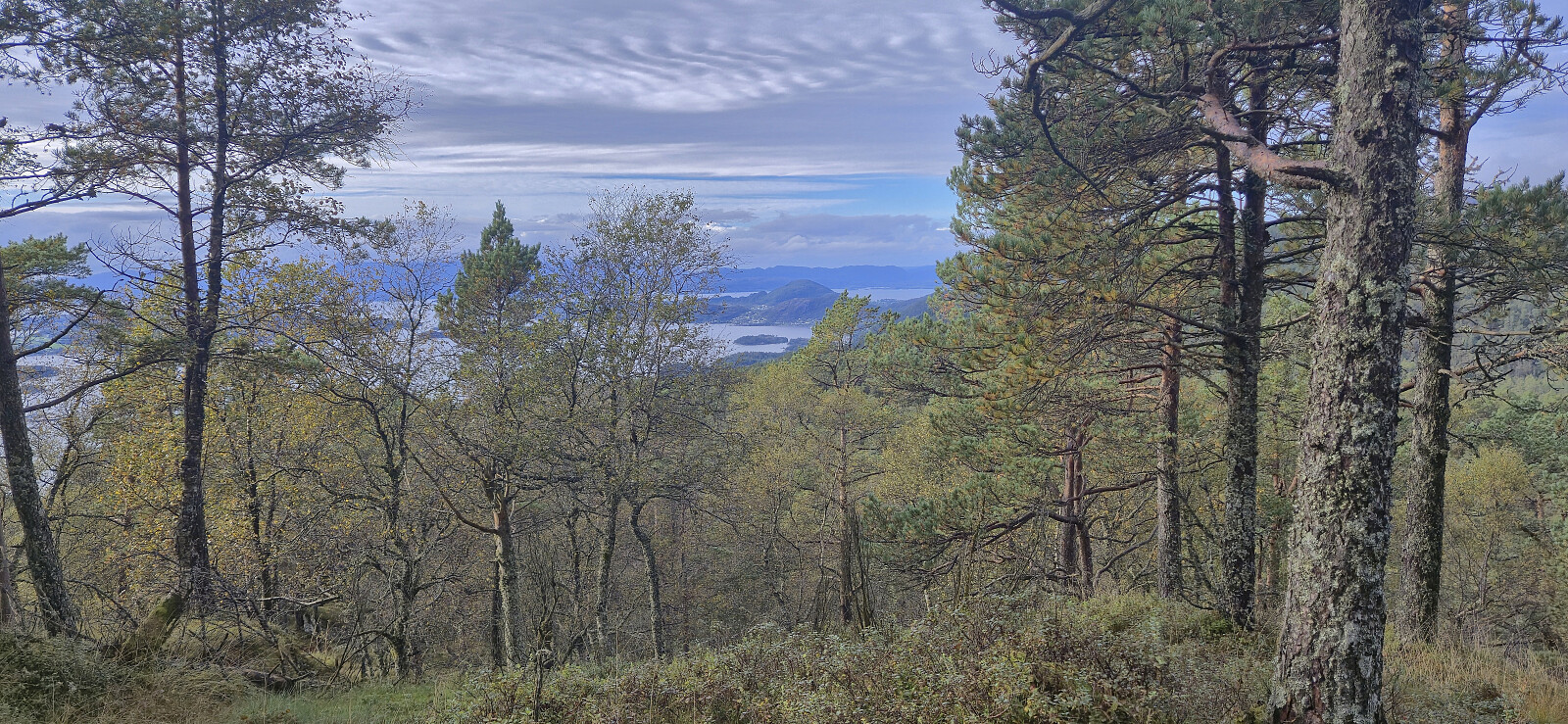
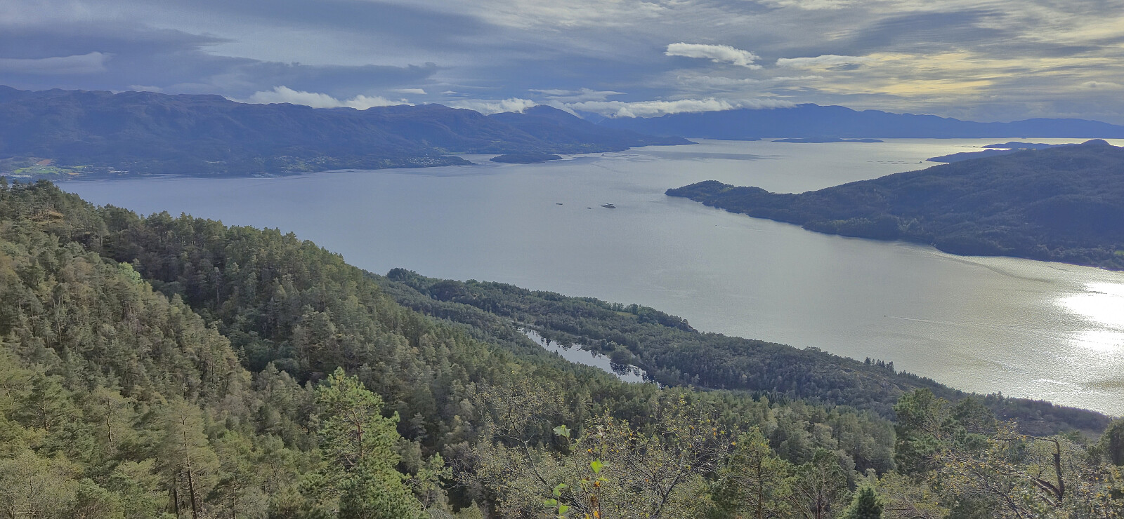
The ascent to Giskanuten was steep at the start and rather wet along the ridge but otherwise straightforward. I spotted at least four deer on the way to the summit. Here I called Petter. He had driven from Tveitedalen to the parking lot south of Jonåsen and was now on his way to Nordvest for Jonåsen. The initial plan had been that we would meet up at the summit of Nordvest for Jonåsen but given that I still had a long way to go, this seemed unlikely. After agreeing that he would instead return to the car and wait for me there, I began my off-trail descent to Krokavatnet.
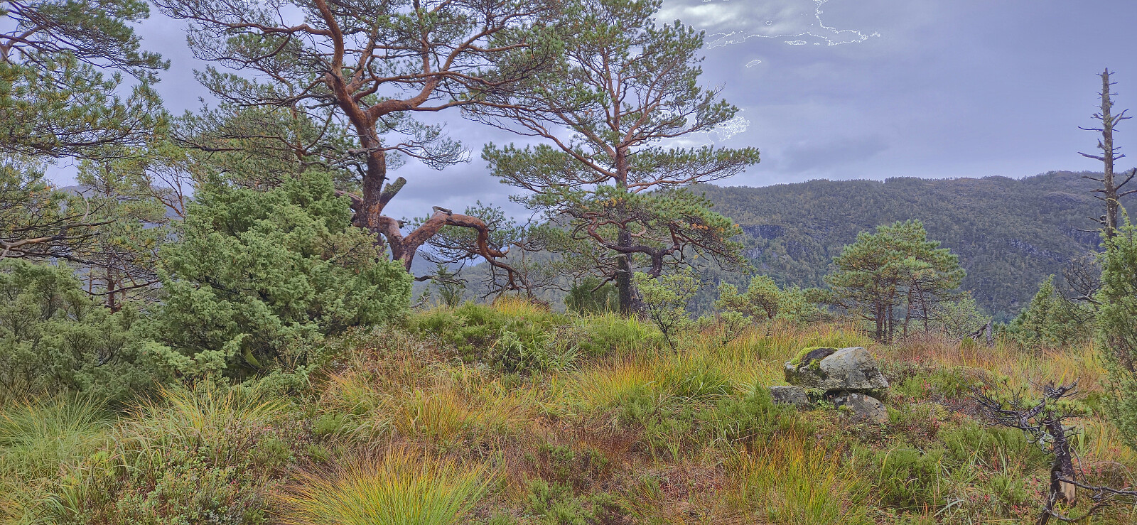
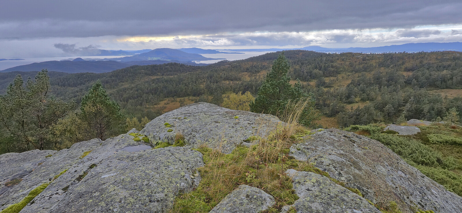
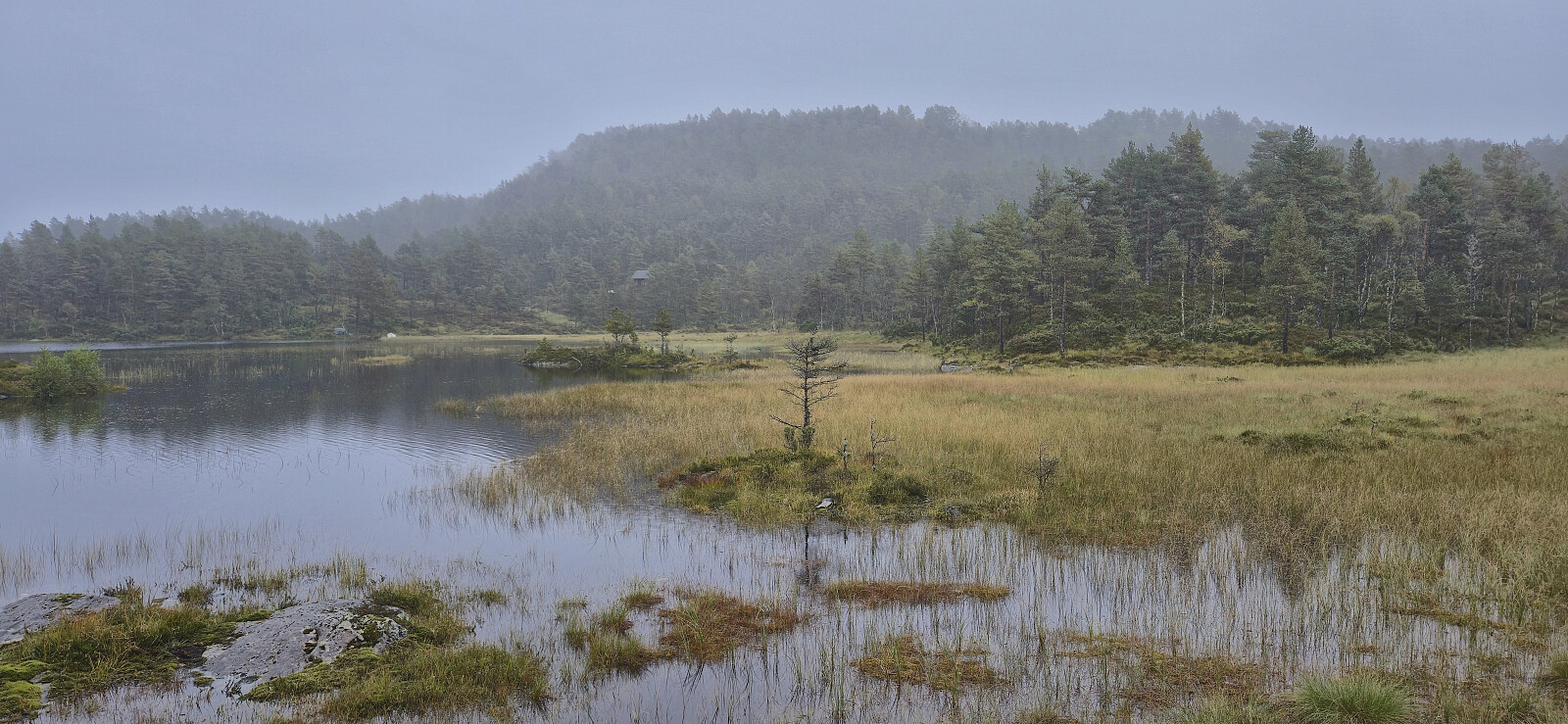
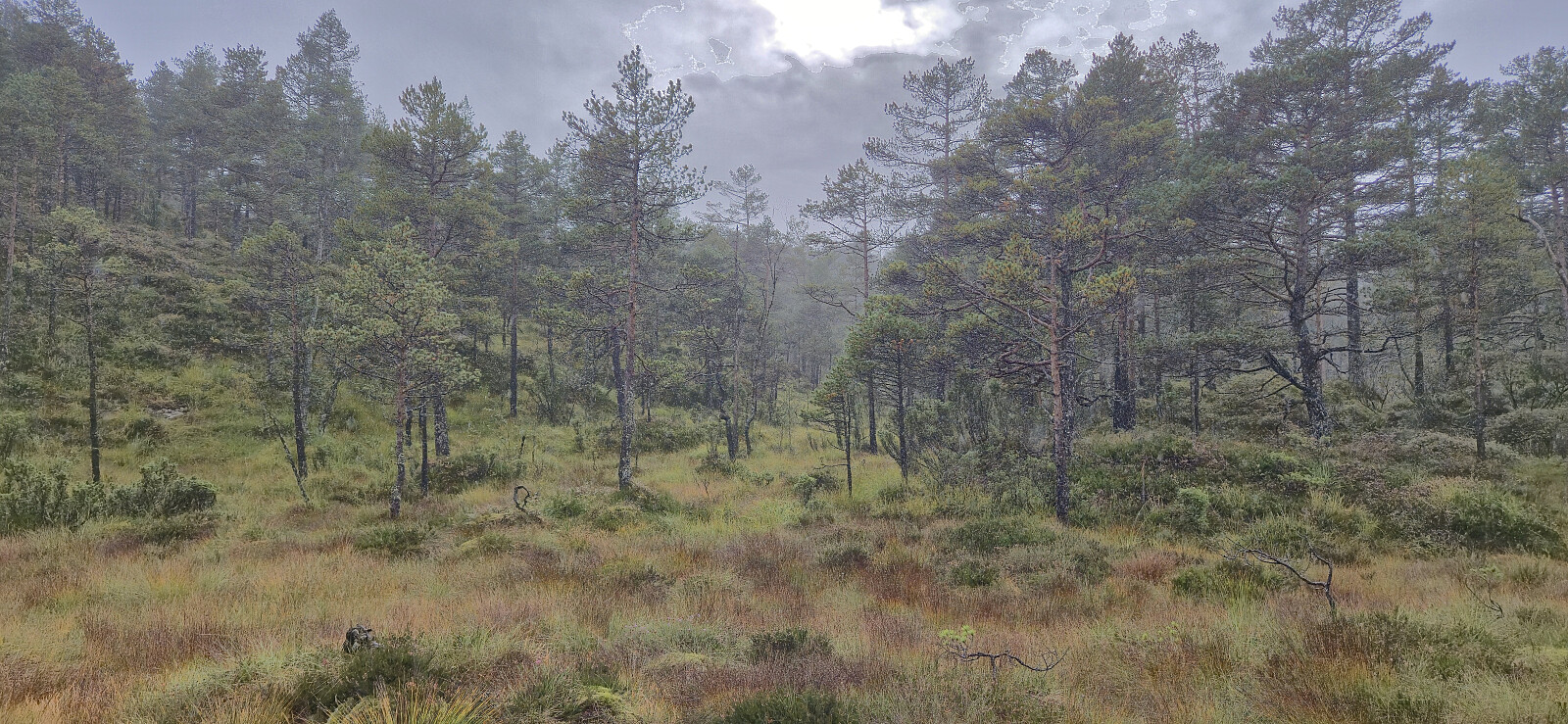
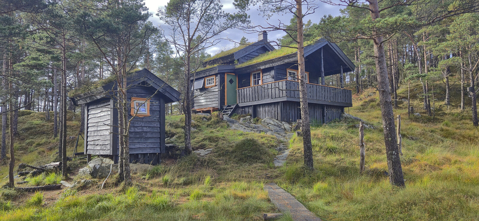
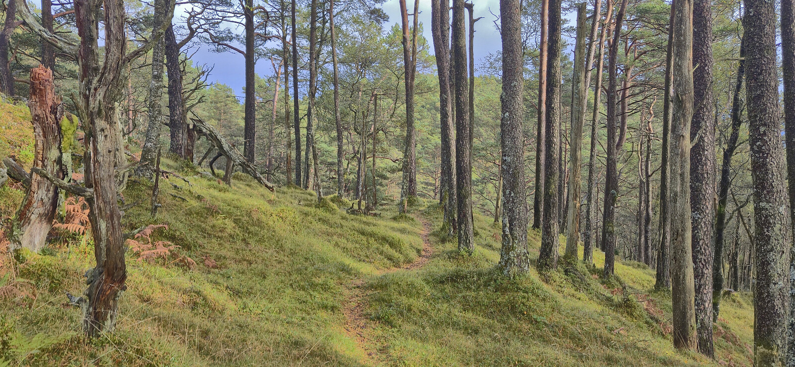
Upon later arriving at Krokavatnet via various deer tracks, I was finally ready to start the ascent to Nordvest for Jonåsen. The ascent was straightforward and I arrived at the summit without any issues. After a couple of pictures I descended to a very nice cabin just southeast of the summit. From the cabin there was a nice trail all the way to the parking lot. When I reconnected with Petter we immediately began our drive to Årsnes, where we were the last car to make it onto the 17:30-ferry with less than one minute to spare.
Takk for turen, Petter!
| Start date | 20.09.2025 12:27 (UTC+01:00 DST) |
| End date | 20.09.2025 16:43 (UTC+01:00 DST) |
| Total Time | 4h 15min |
| Moving Time | 4h 03min |
| Stopped Time | 0h 12min |
| Overall Average | 2.6km/h |
| Moving Average | 2.7km/h |
| Distance | 11.1km |
| Vertical meters | 813m |


User comments