
Oksen from Granvin (16.05.2025)

Written by hbar (Harald Barsnes)

| Start point | Granvin terminal (18m) |
|---|---|
| Endpoint | Granvin terminal (18m) |
| Characteristic | Hillwalk |
| Duration | 8h 04min |
| Distance | 22.9km |
| Vertical meters | 1,651m |
| GPS |
|
| Ascents | Oksen (1,241m) | 16.05.2025 16:23 |
|---|
Oksen from Granvin
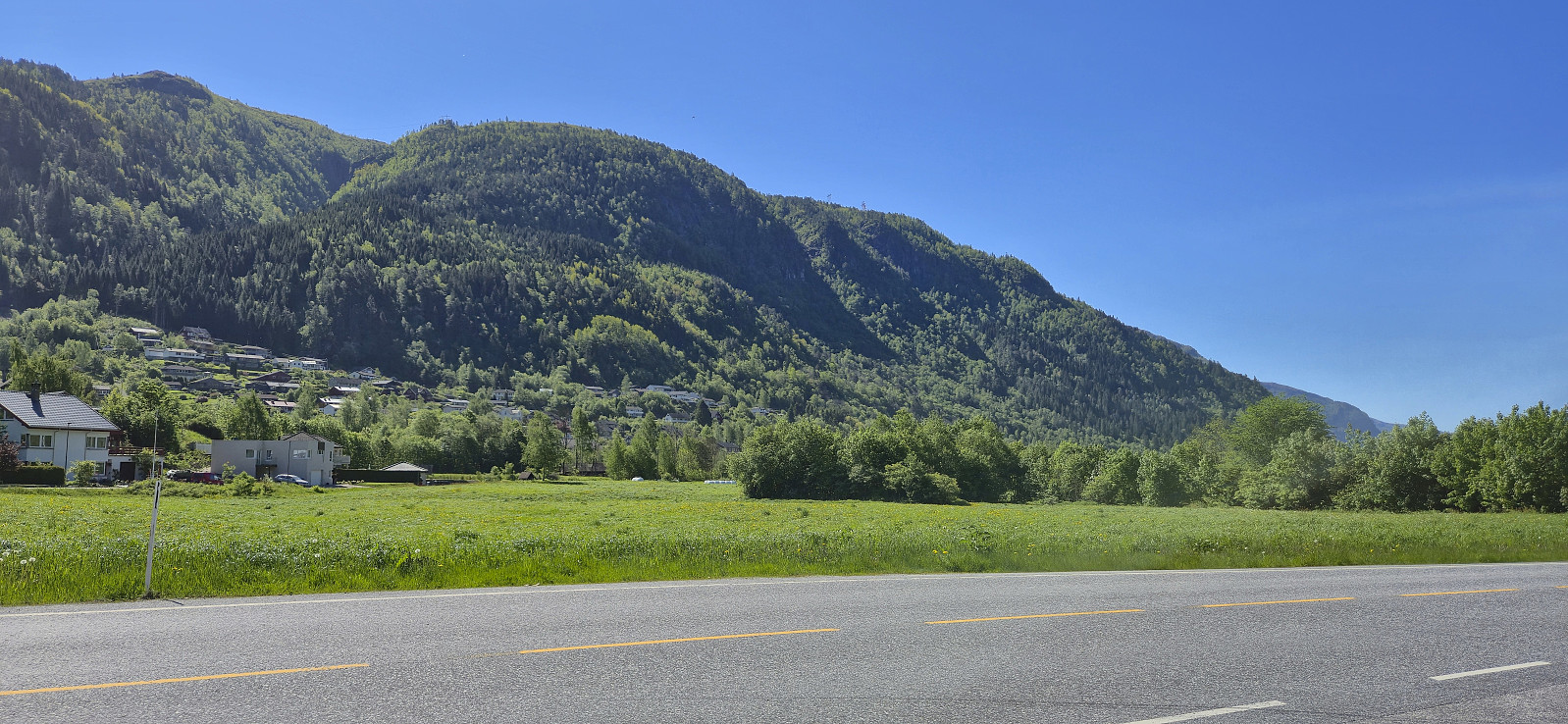
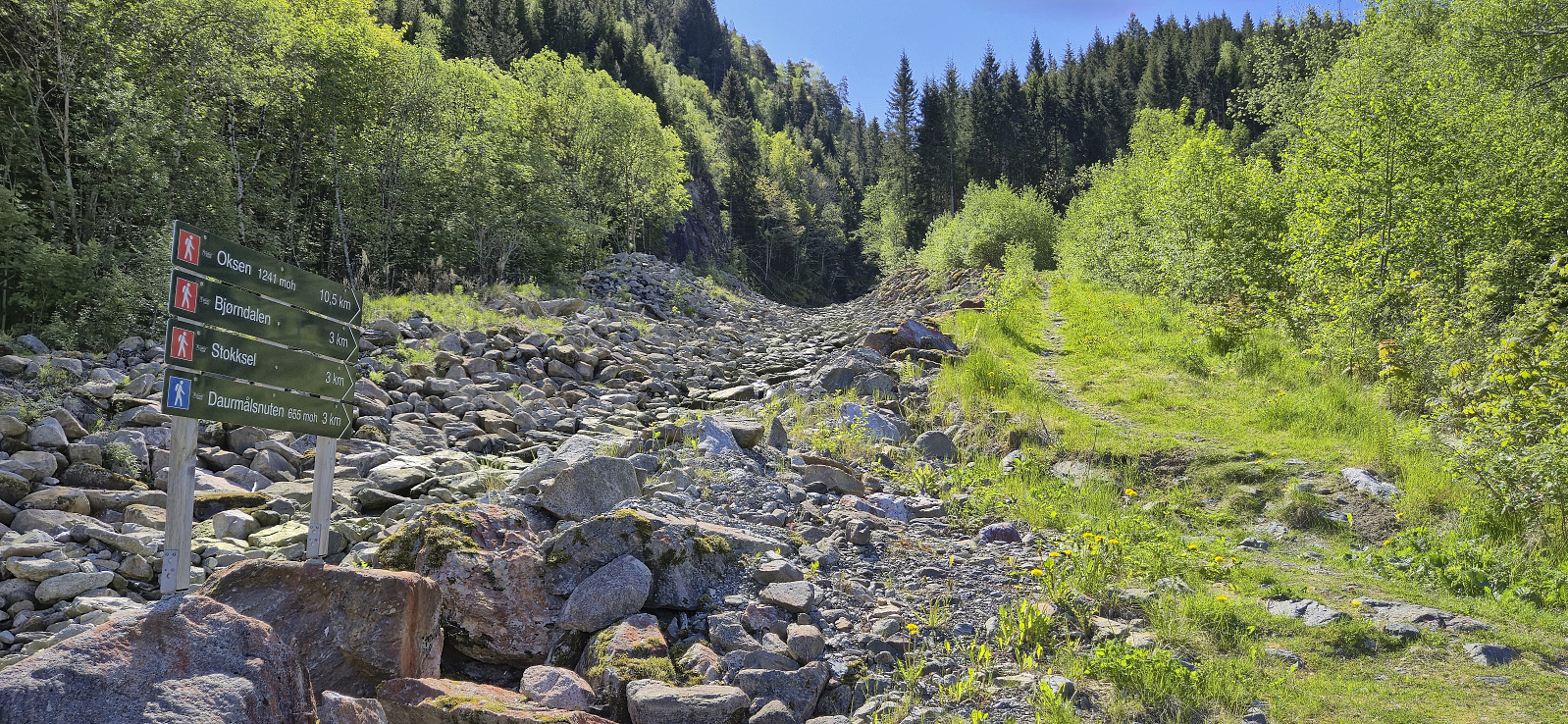
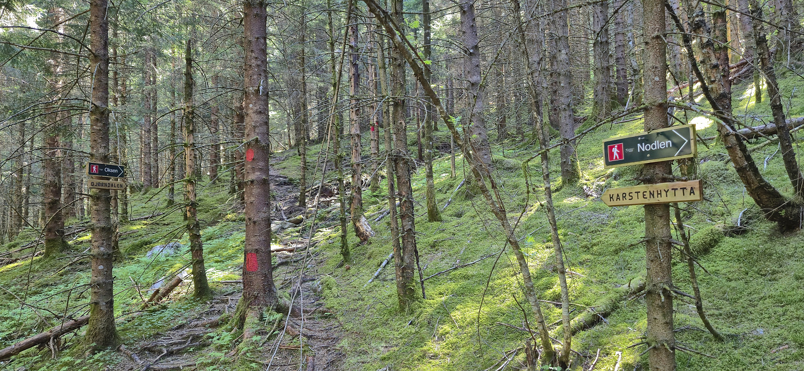
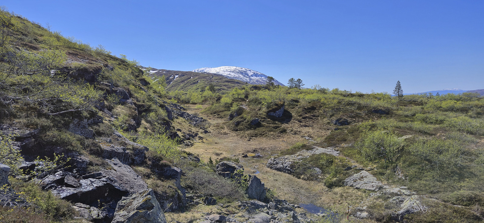
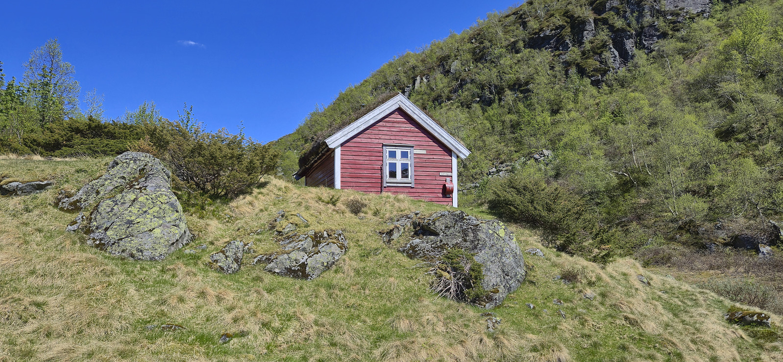
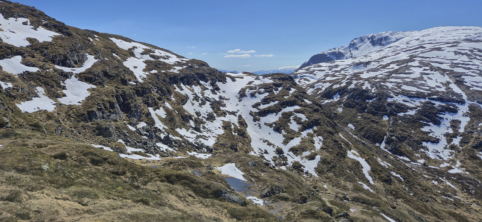
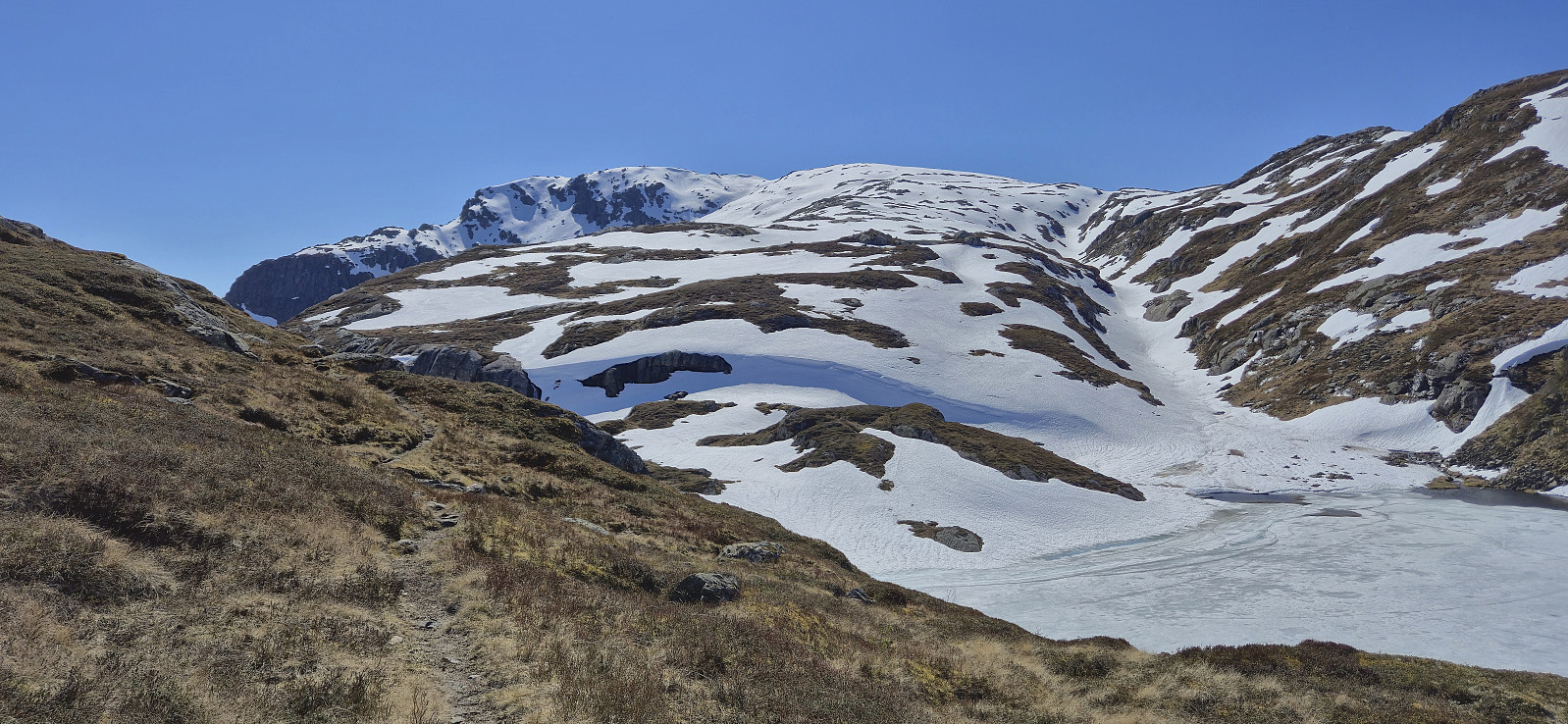
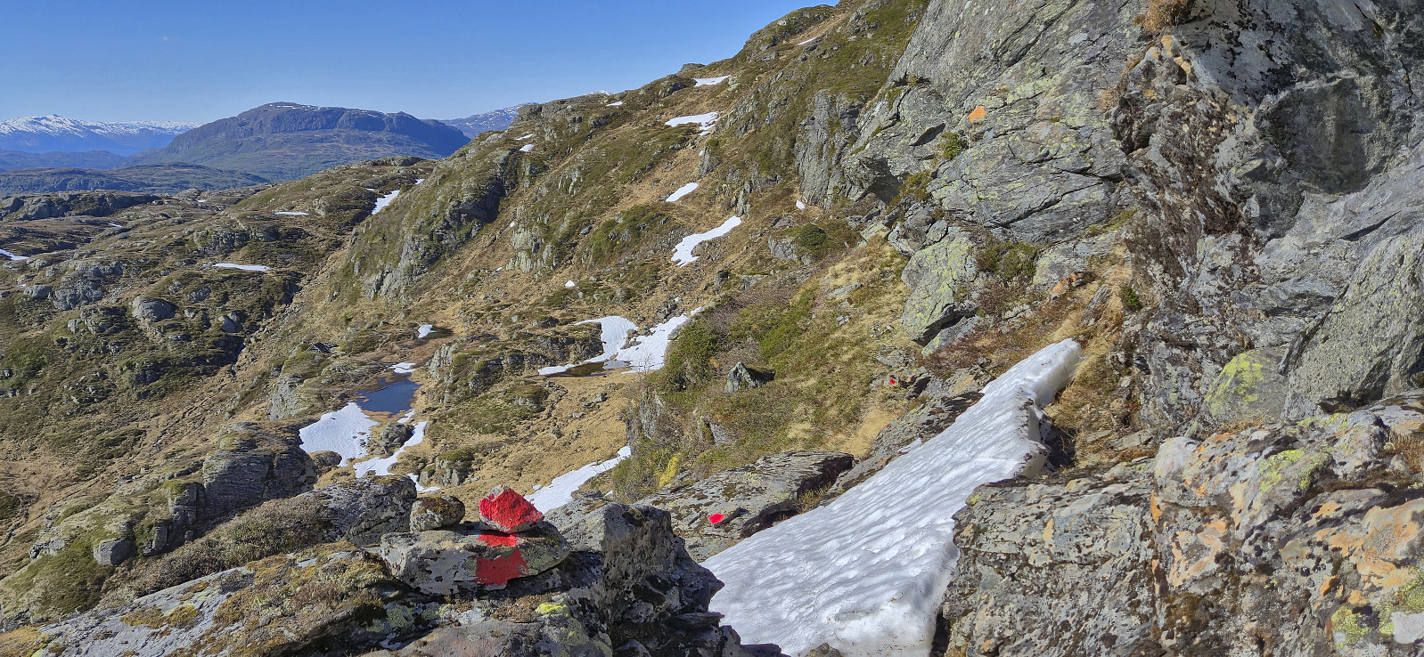
Given that my only meeting on a sunny Friday had been postponed earlier in the week, I took the rest of the urgent paperwork with me and hopped on a train to Voss from where I took the bus to Granvin to ascend Oksen. After getting off the bus, I walked to the marked trailhead at Røynstrand and then followed the marked trail northwest towards the summit with the first patches of snow appearing just below 900 meters above sea level.
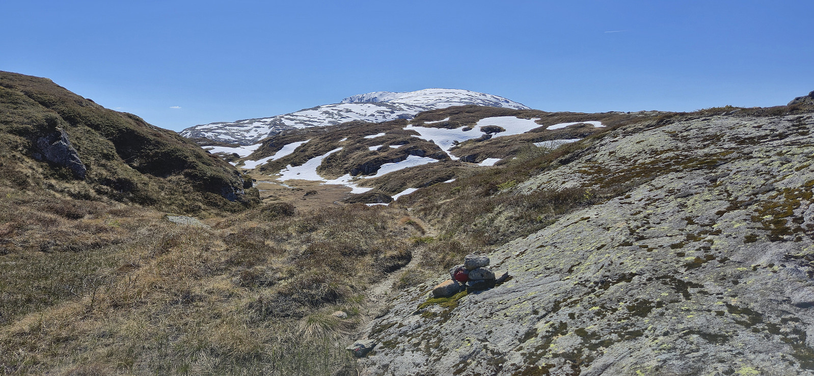
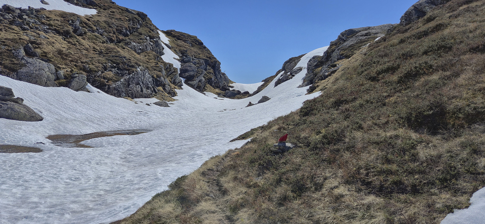
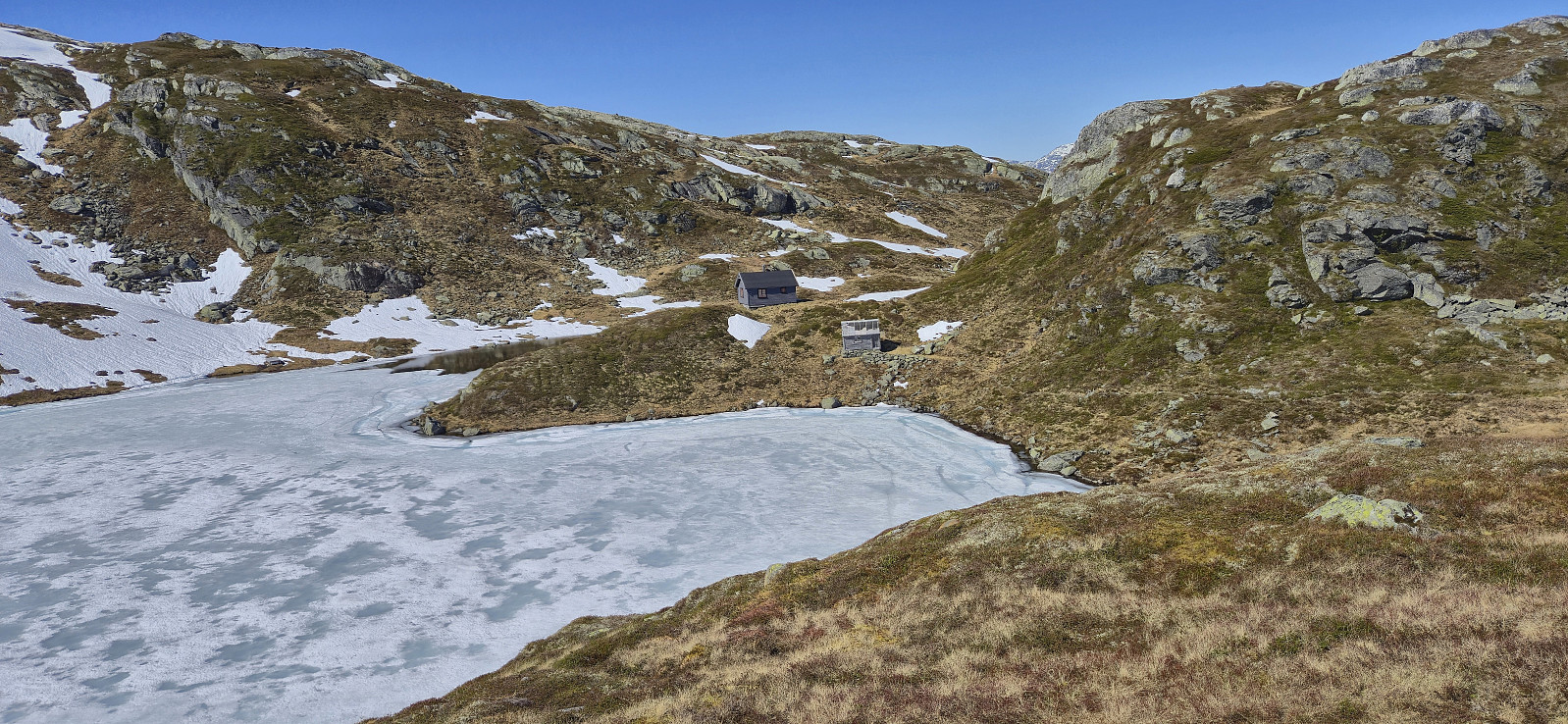
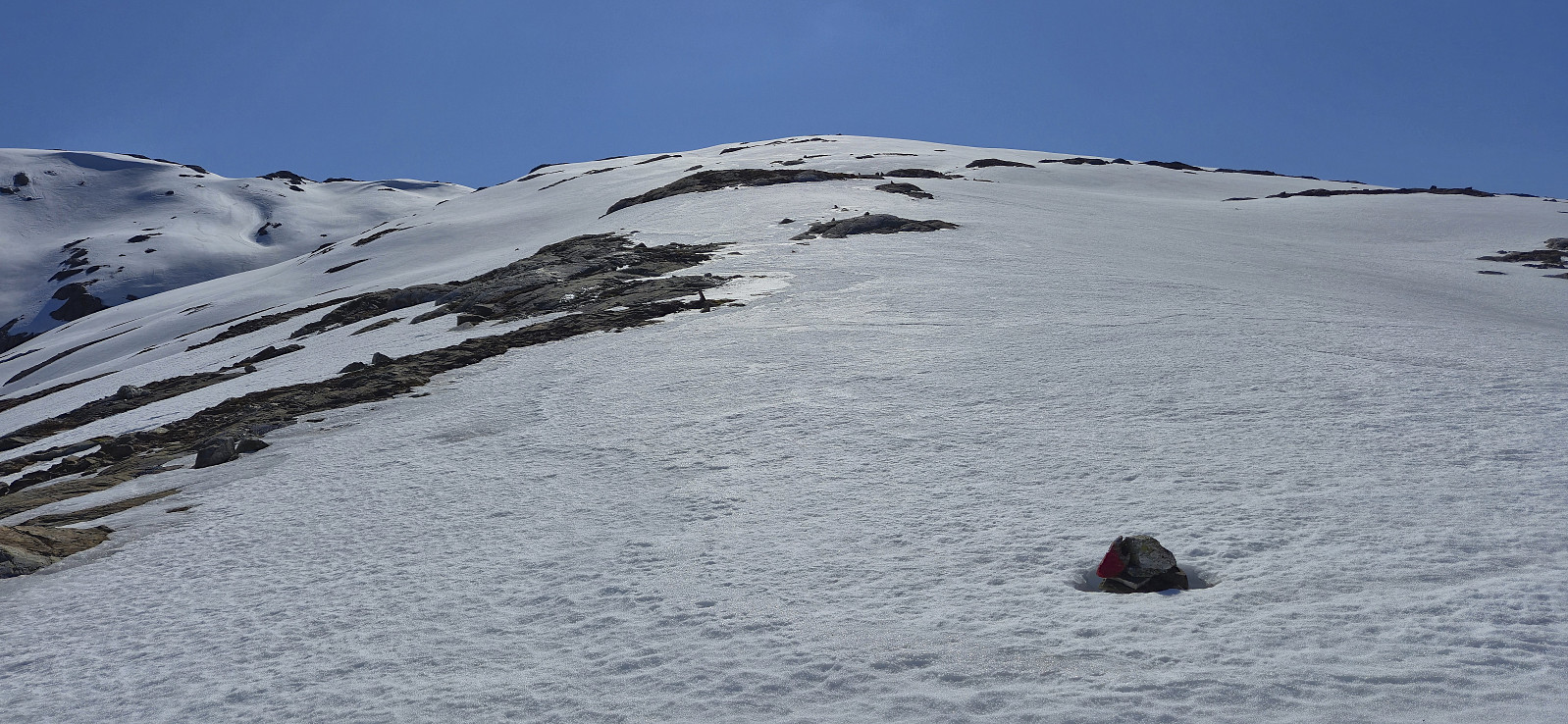
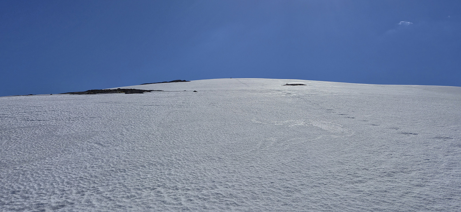
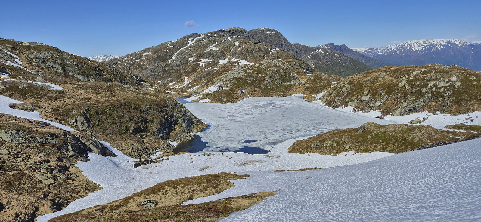
Shortly before getting to Oksatjørni I lost the red markers and given that I did not like the look of the terrain where the trail was supposedly heading, both steep and snow-covered, I made a short detour east to connect with the trail coming down from Ingebjørgfjellet, before both trails combined northeast of Larsbu. The final ascent to the summit was straightforward but quite strenuous given the now almost complete cover of wet snow.
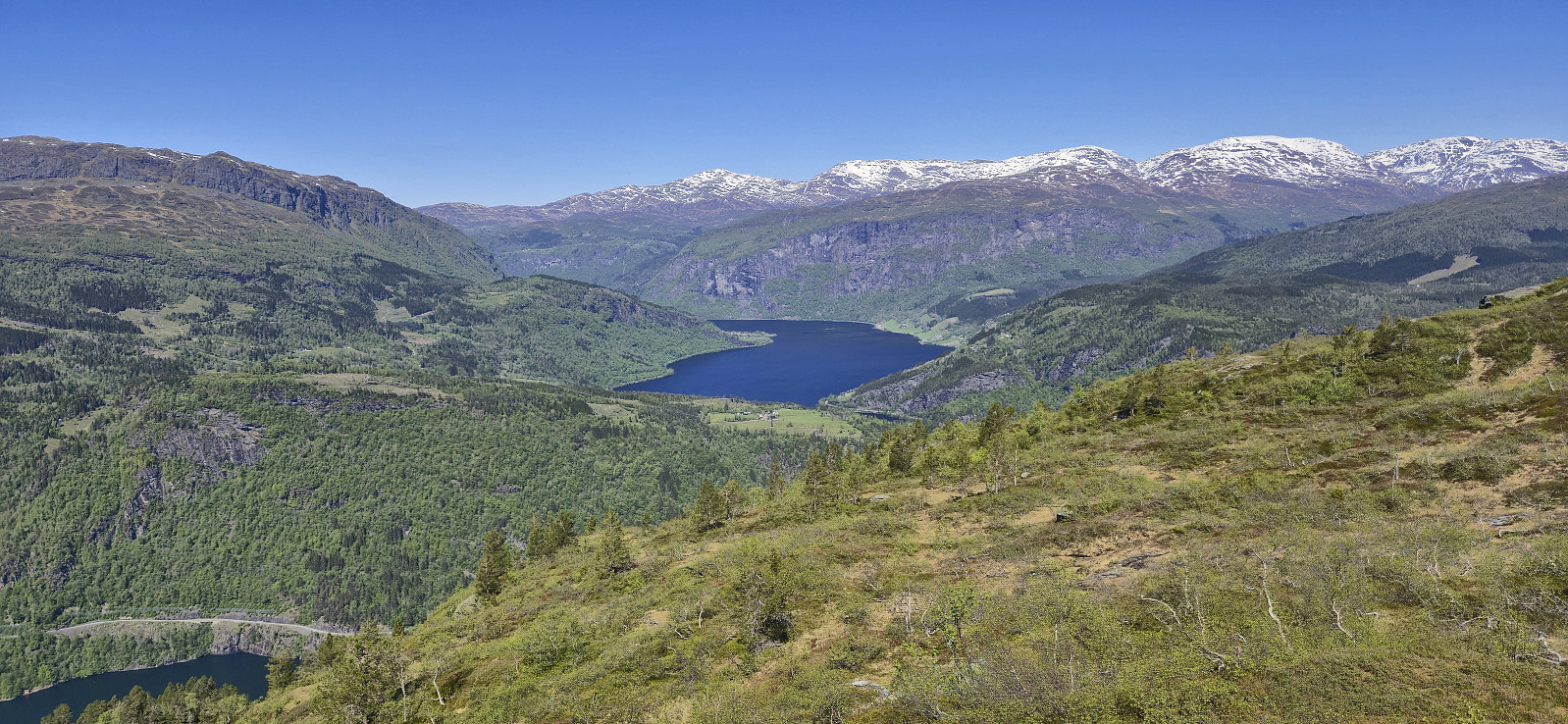
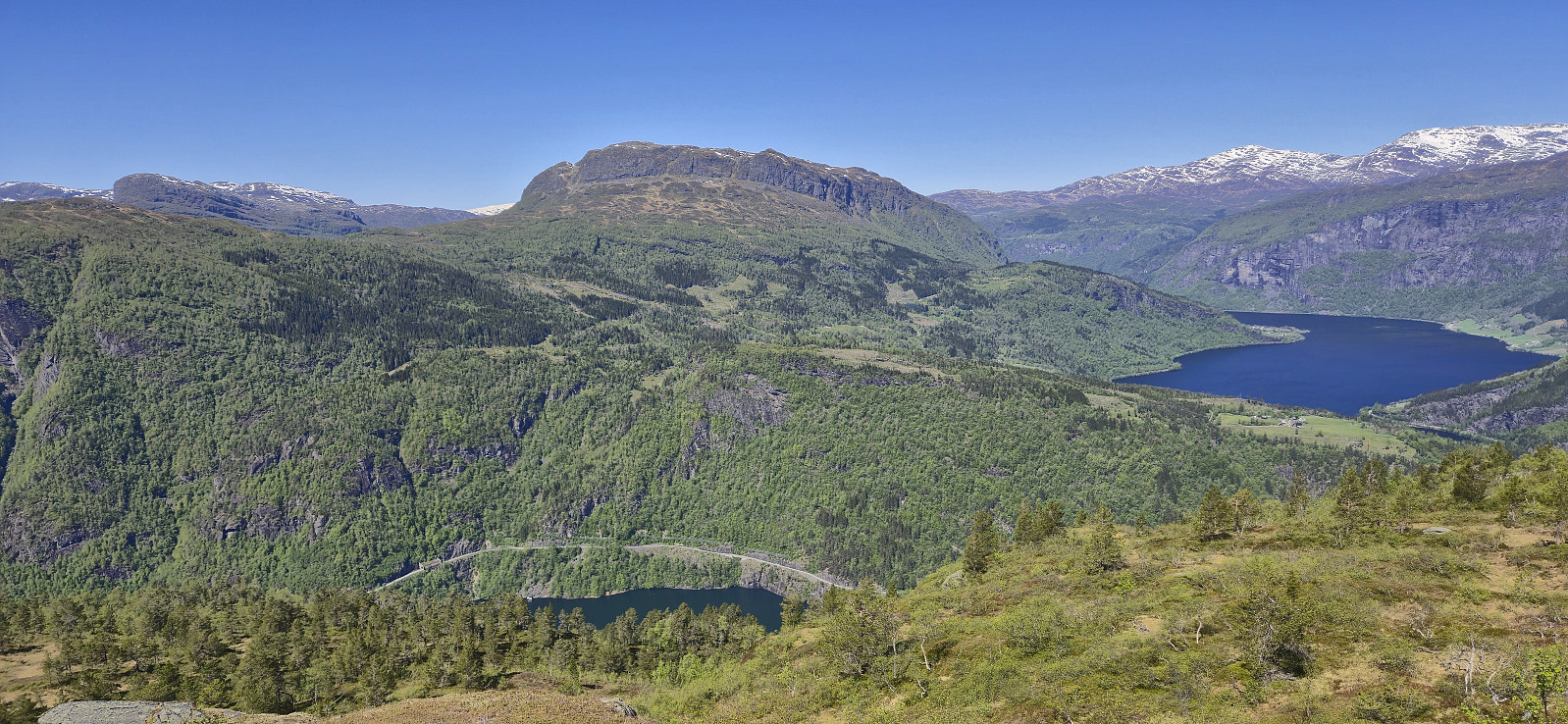
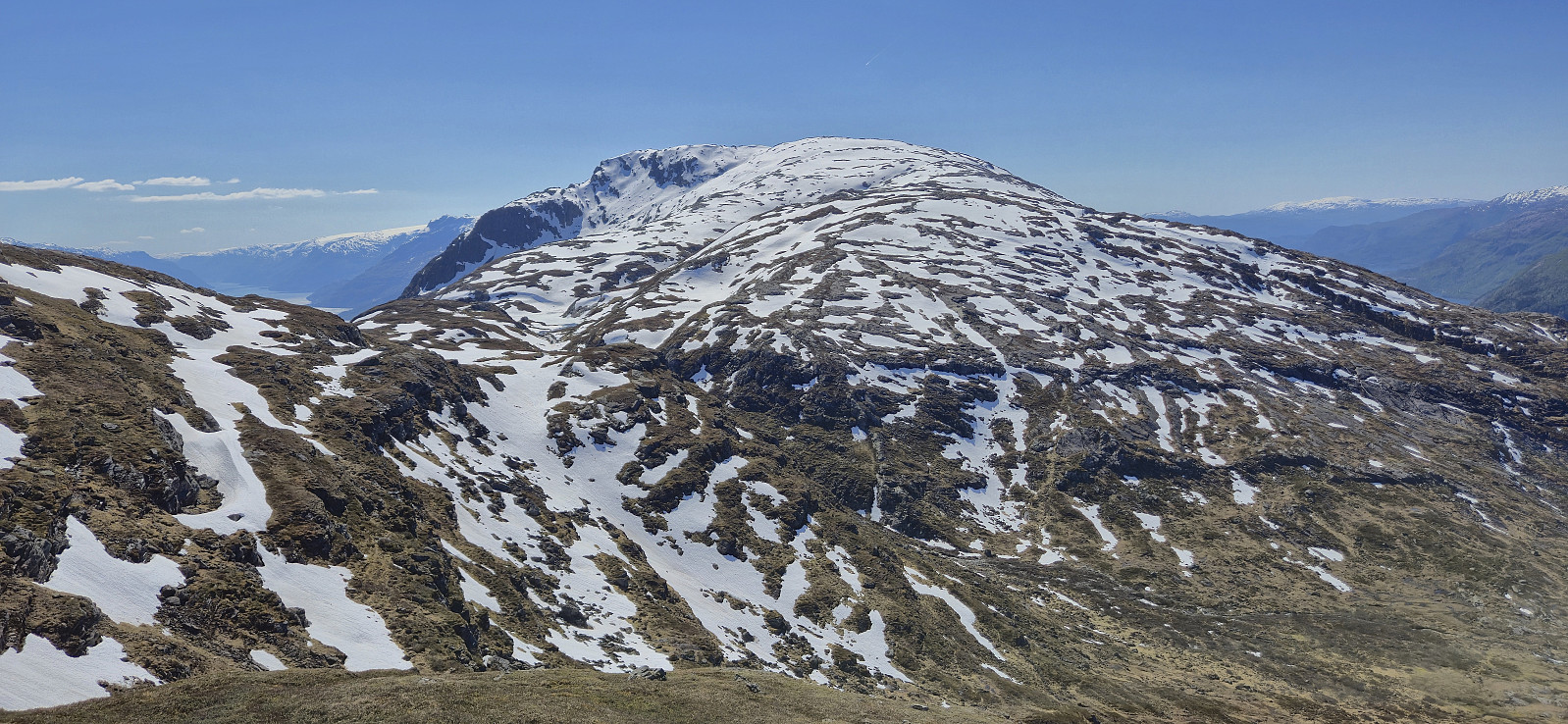
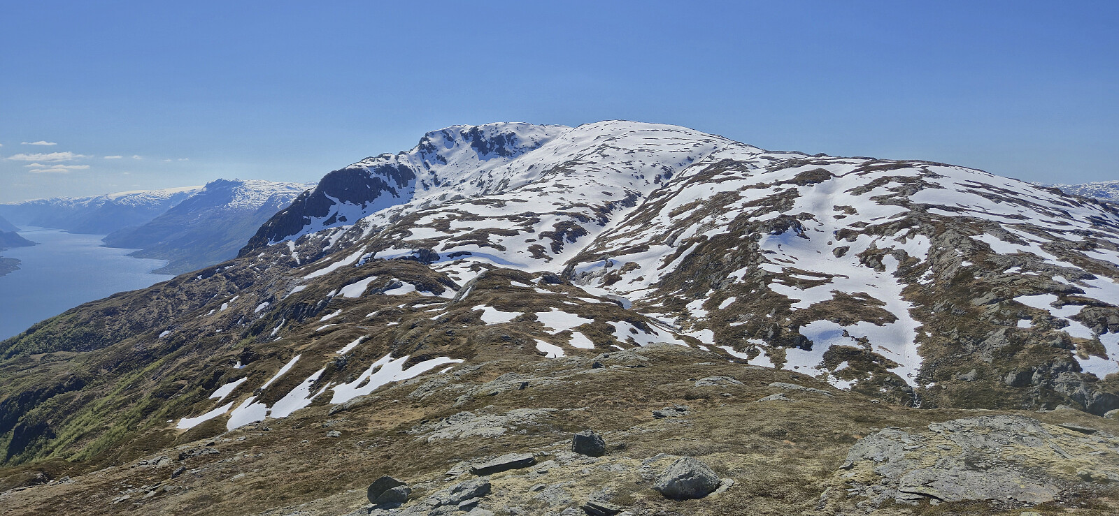
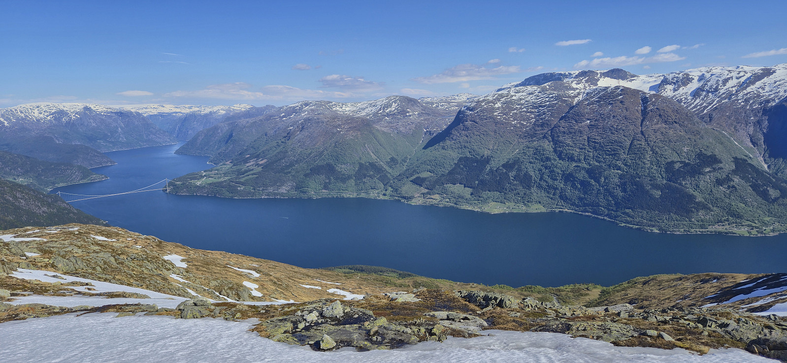
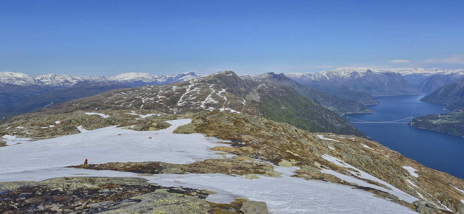
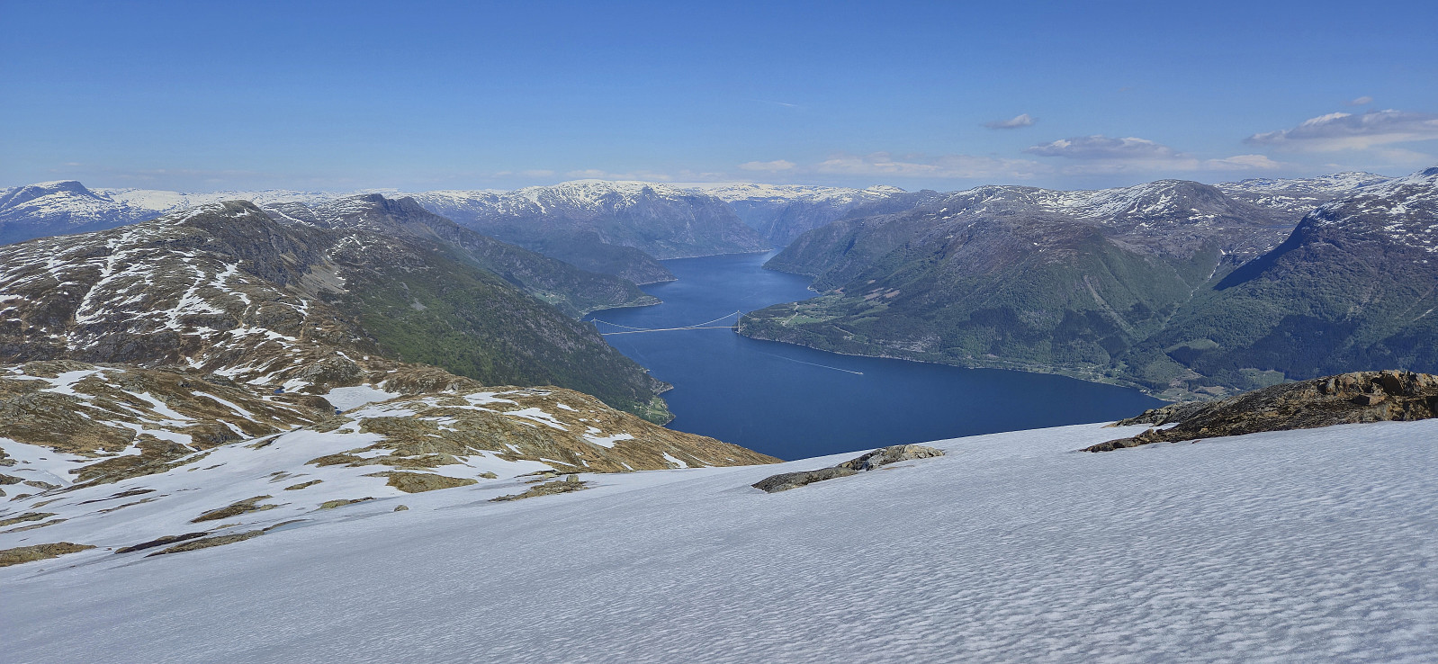
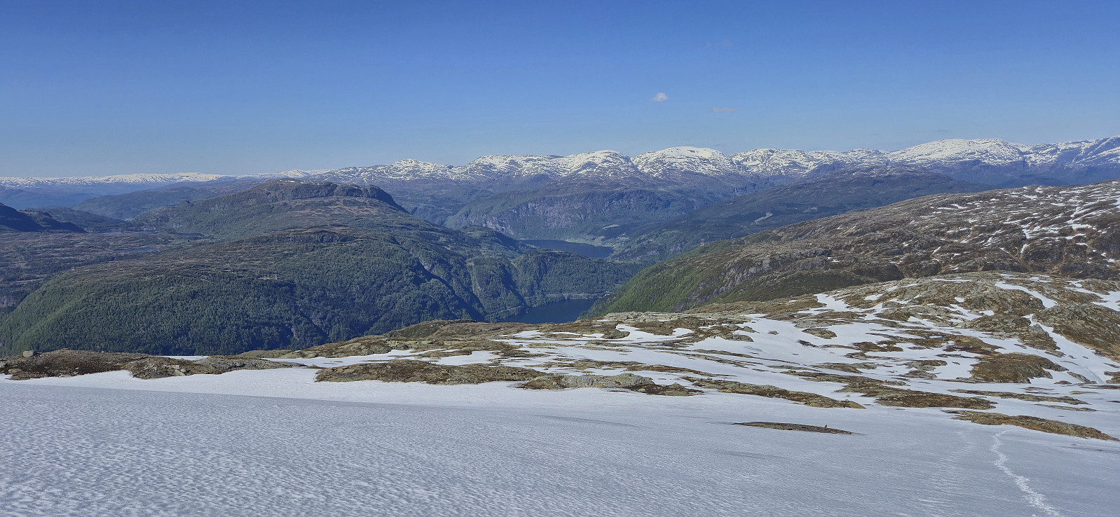
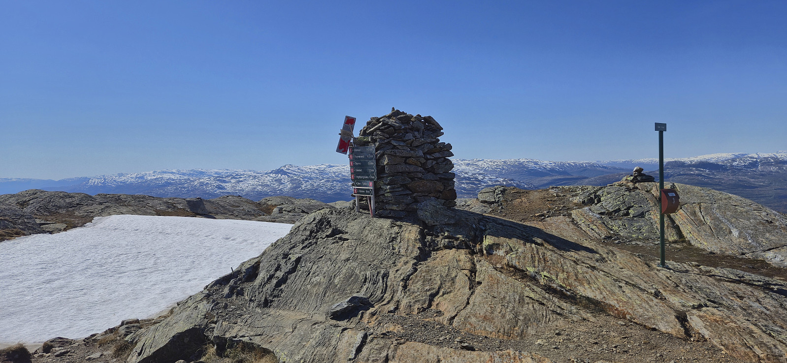
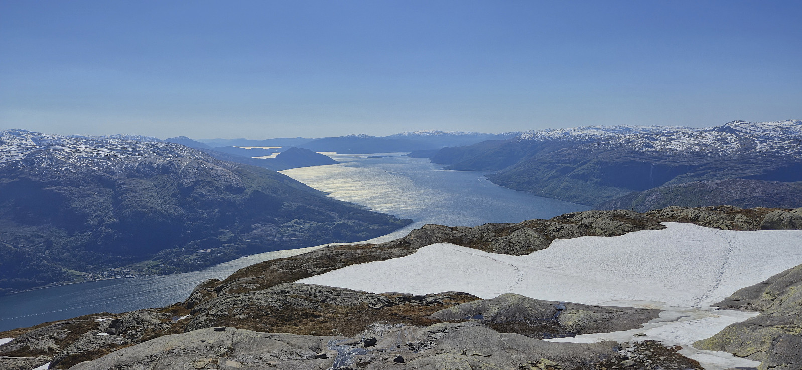
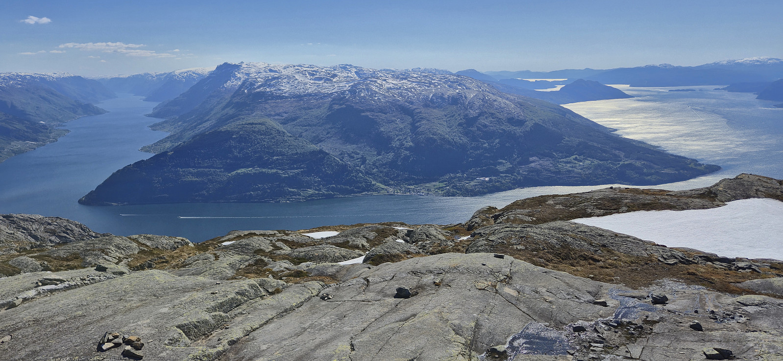
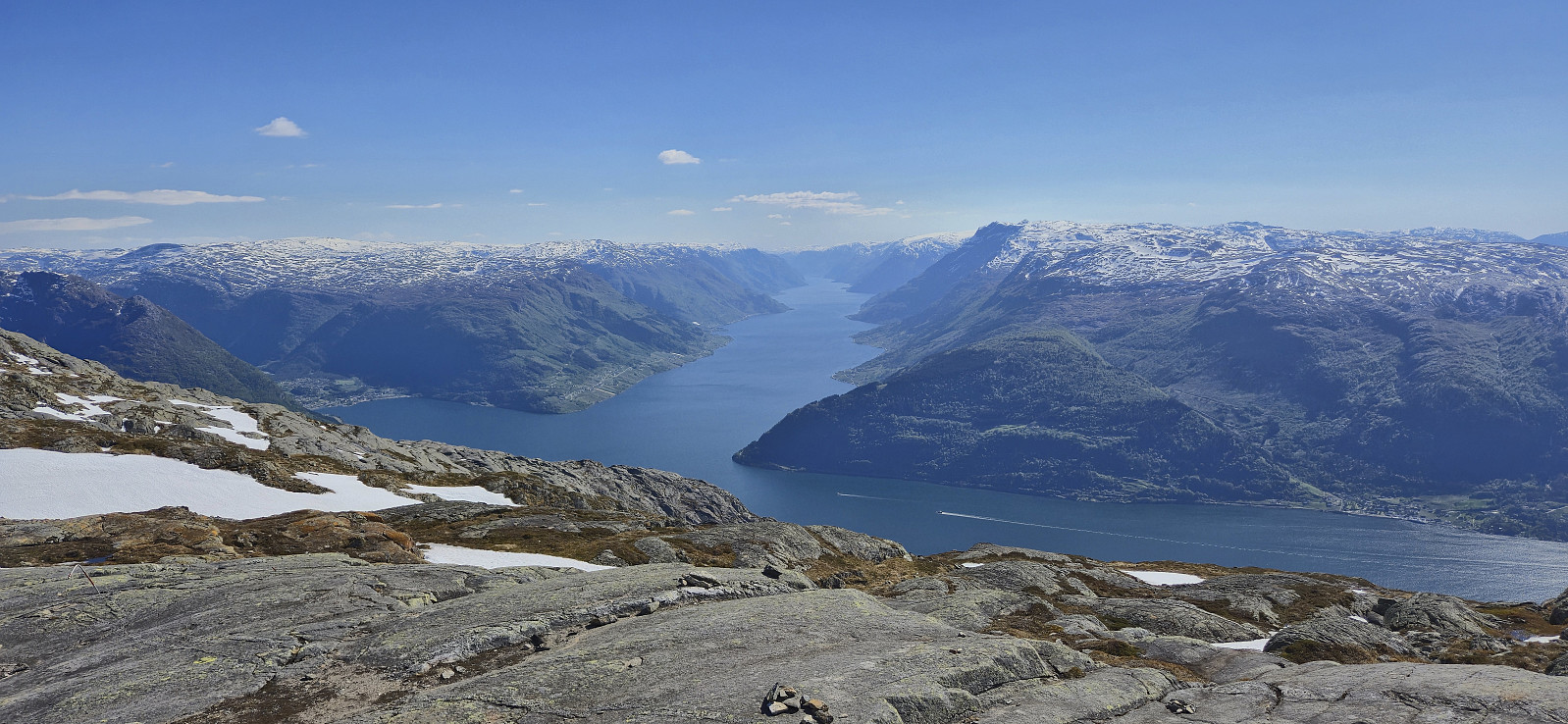
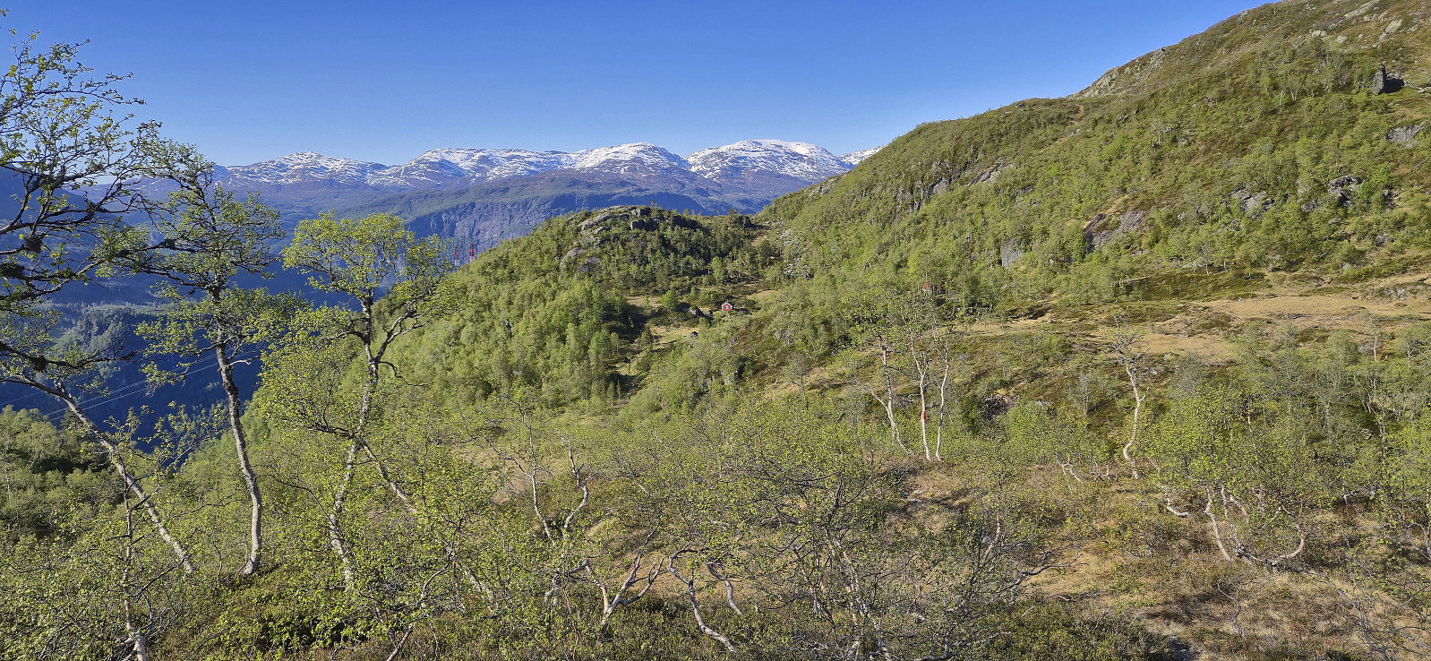
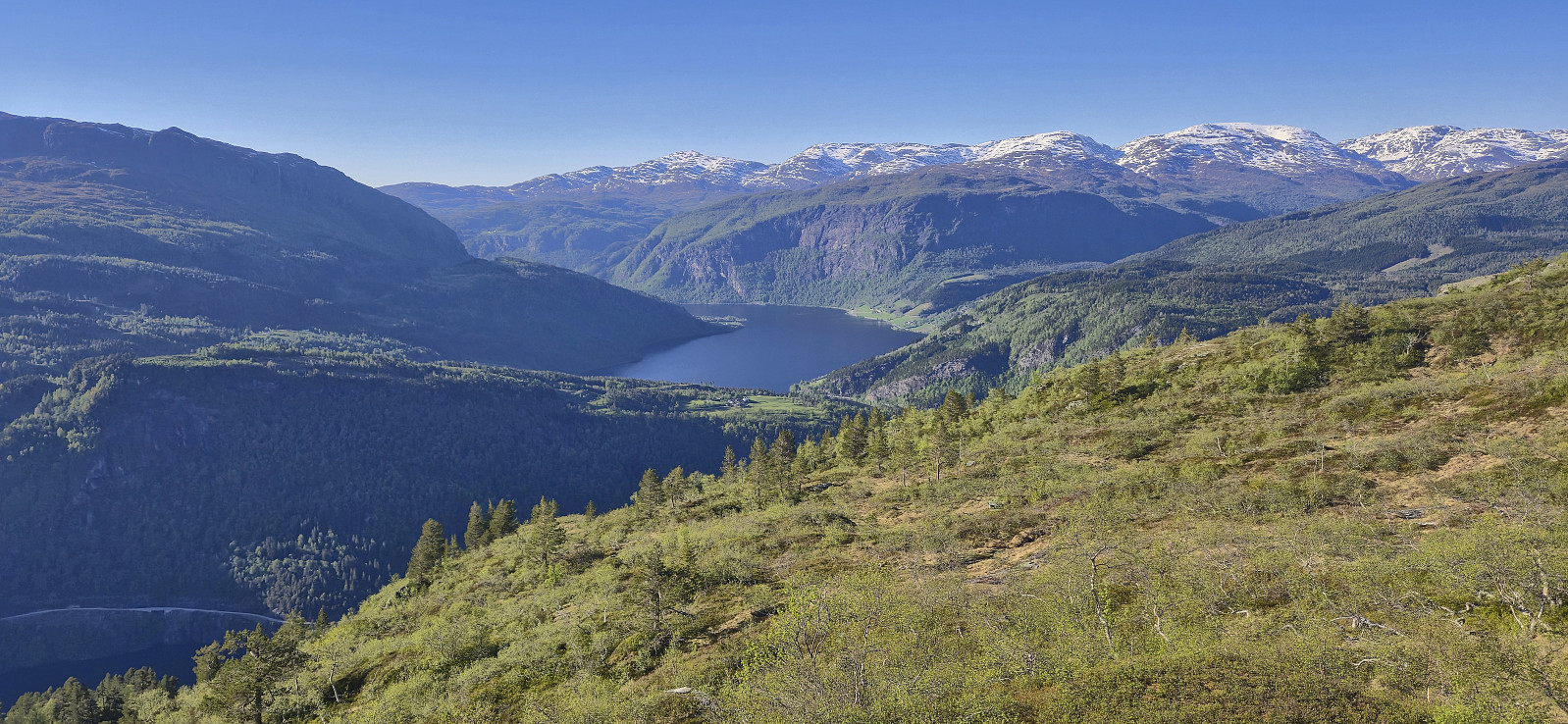
Spectacular views from the summit with great overviews of three fjords, namely Hardangerfjorden, Sørfjorden and Eidfjorden. Granvinsfjorden can probably also be spotted but not from the summit cairn. I however could not spend too much time at the summit given that I had a bus to catch back at Granvin. After lots of pictures I therefore started my descent along the same route, although with the snow now turning into an advantage allowing me to increase my speed.
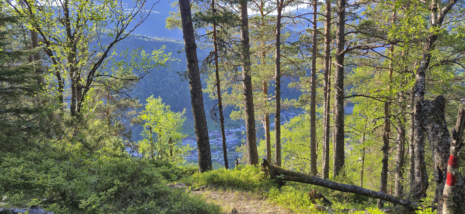
Upon getting to the crossroads northeast of Oksatjørni I noticed that there were footprints in the snow heading towards where I had lost the trail markers during the ascent. Combined with red trail markers showing the way, I chose to have a go at this potentially much shorter route. This turned out to be a success and unless there is a lot more snow, this route is clearly the better option. All that remained was then to follow the marked trail back to Granvin where I arrived with around 20 minutes to spare before the bus showed up to take me back to Voss for the train home to Bergen.
In summary, ascending Oksen from Granvin is a very nice hike with spectacular views that can be very highly recommended!
| Start date | 16.05.2025 11:43 (UTC+01:00 DST) |
| End date | 16.05.2025 19:47 (UTC+01:00 DST) |
| Total Time | 8h 04min |
| Moving Time | 7h 00min |
| Stopped Time | 1h 03min |
| Overall Average | 2.8km/h |
| Moving Average | 3.3km/h |
| Distance | 22.9km |
| Vertical meters | 1,650m |


User comments