
Storenova, Gulbrekkefjellet and Hisbotsnuken (01.02.2025)

Written by hbar (Harald Barsnes)

| Start point | Sleire skulemuseum (47m) |
|---|---|
| Endpoint | Sleire skulemuseum (47m) |
| Characteristic | Hillwalk |
| Duration | 7h 26min |
| Distance | 18.6km |
| Vertical meters | 1,479m |
| GPS |
|
| Ascents | Storenova (558m) | 01.02.2025 10:51 |
|---|---|---|
| Gulbrekkefjellet (566m) | 01.02.2025 12:56 | |
| Hisbotsnuken (622m) | 01.02.2025 15:06 | |
| Hisbotsnuken Sør (594m) | 01.02.2025 15:24 | |
| Visits of other PBEs | Sleire skulemuseum p-plass (47m) | 01.02.2025 09:15 |
Storenova, Gulbrekkefjellet and Hisbotsnuken
Note: This hike includes several steep off-trail ascents and descents in rough terrain that may not be to everyone's liking. Please read the report carefully.
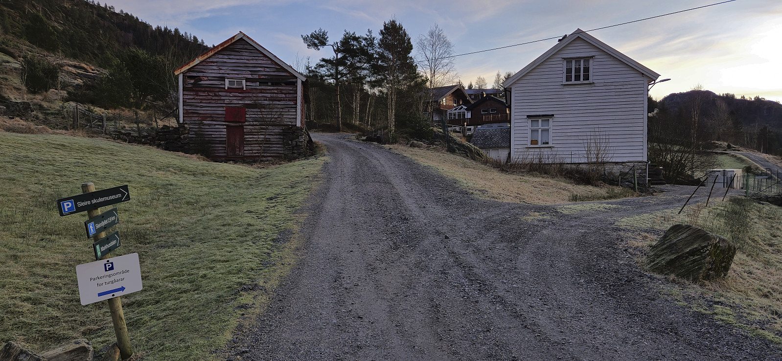
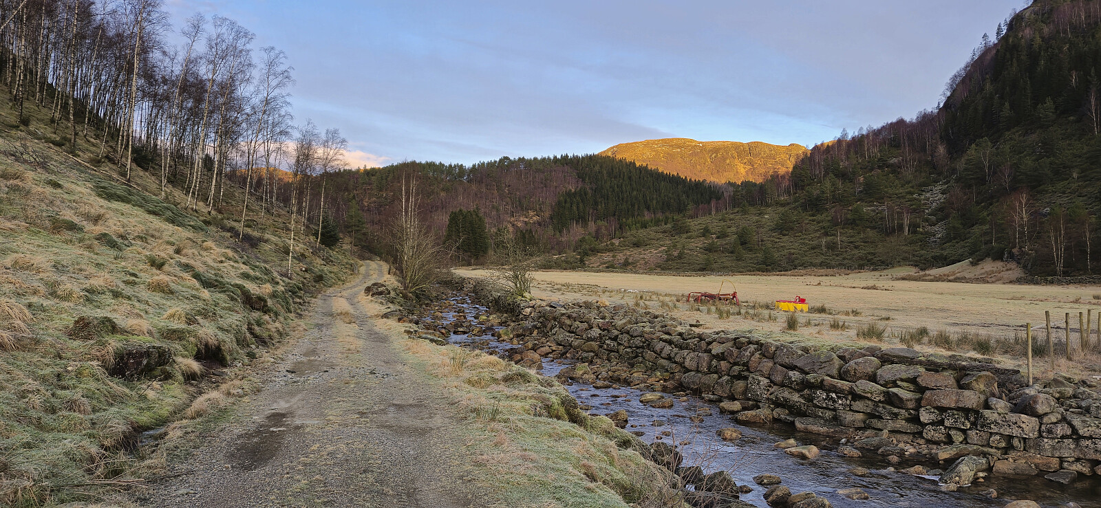
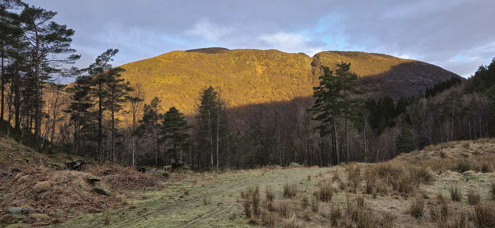
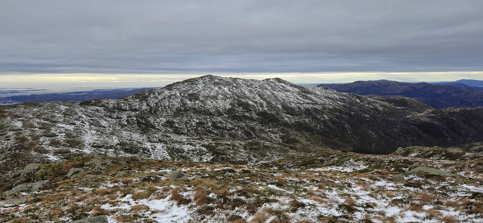
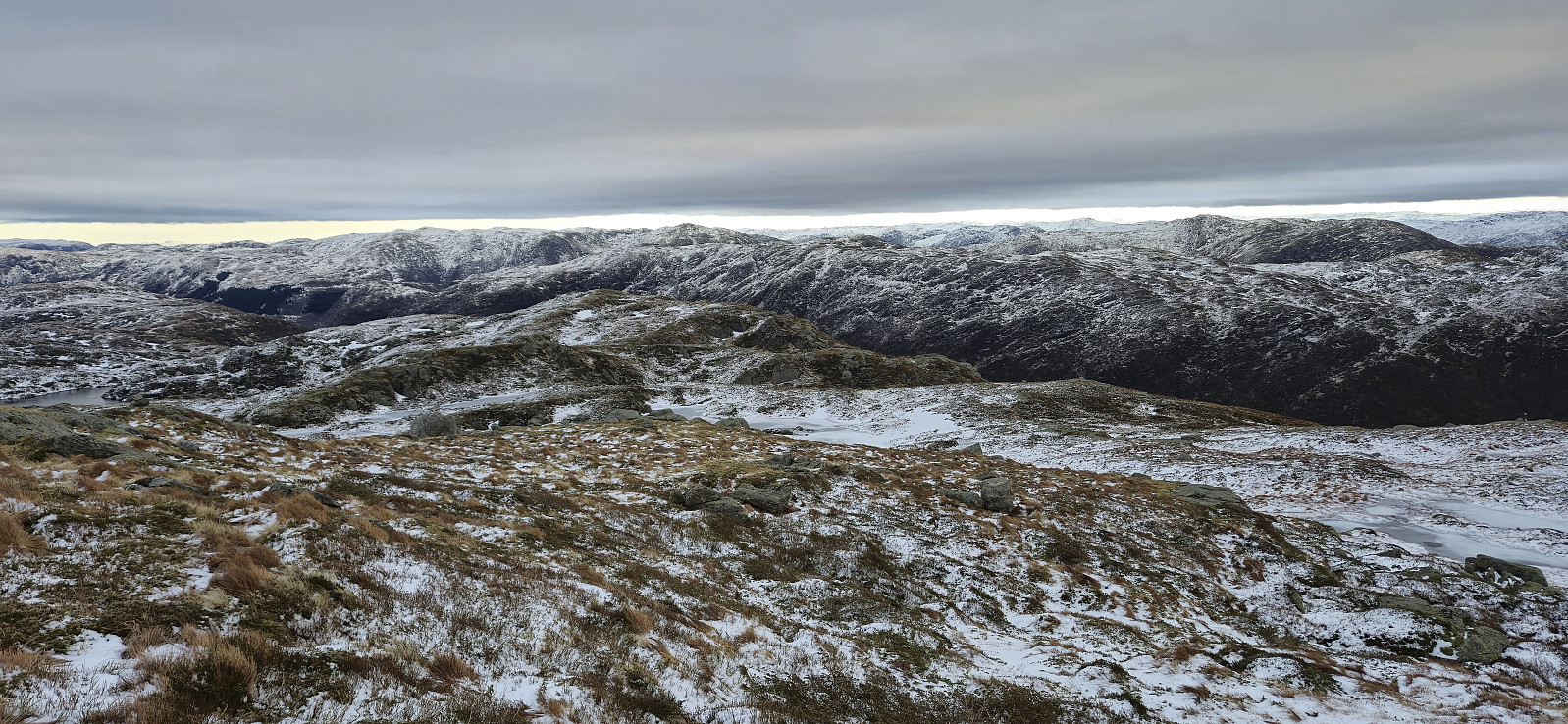
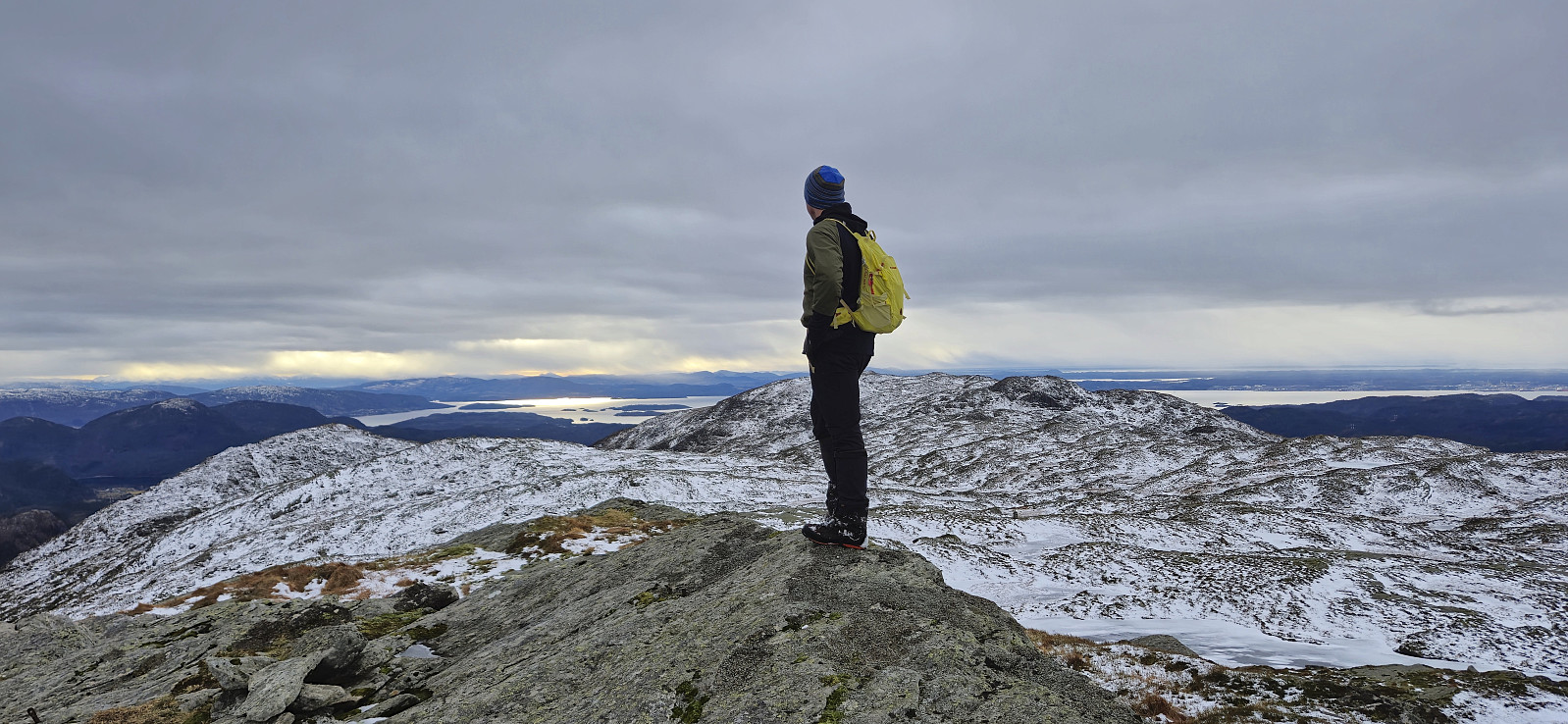
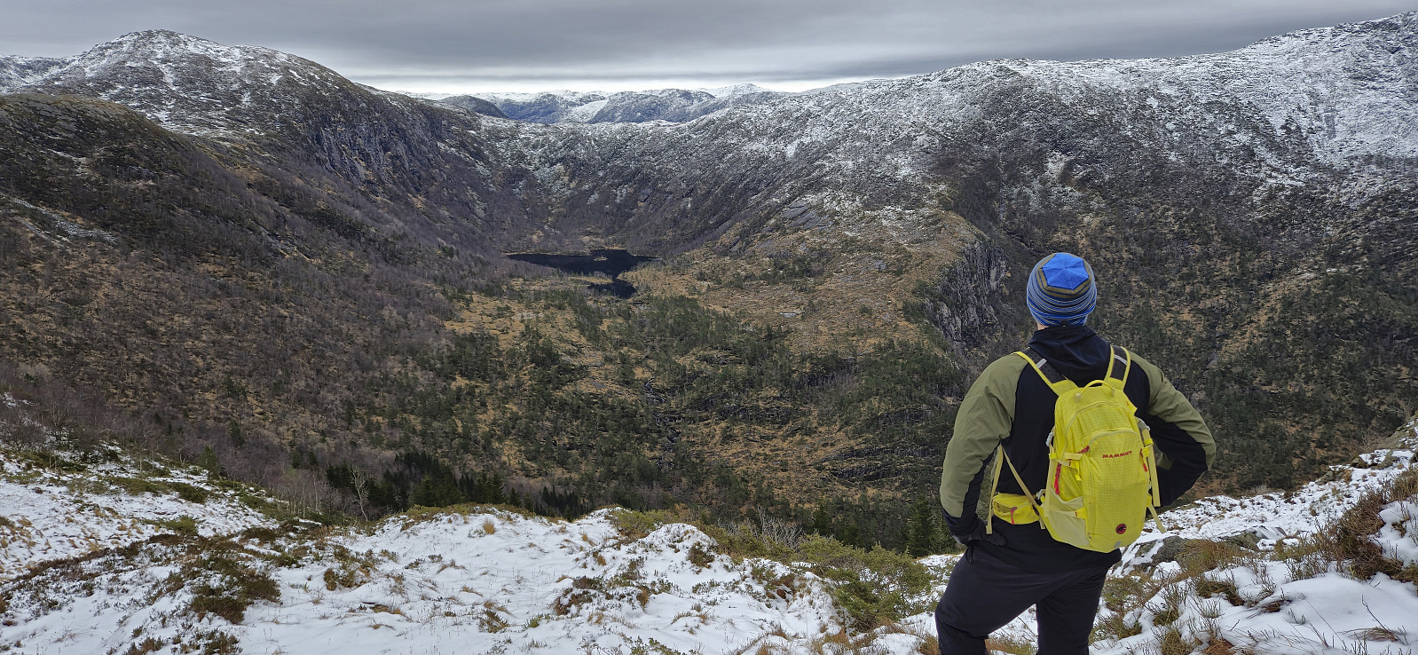
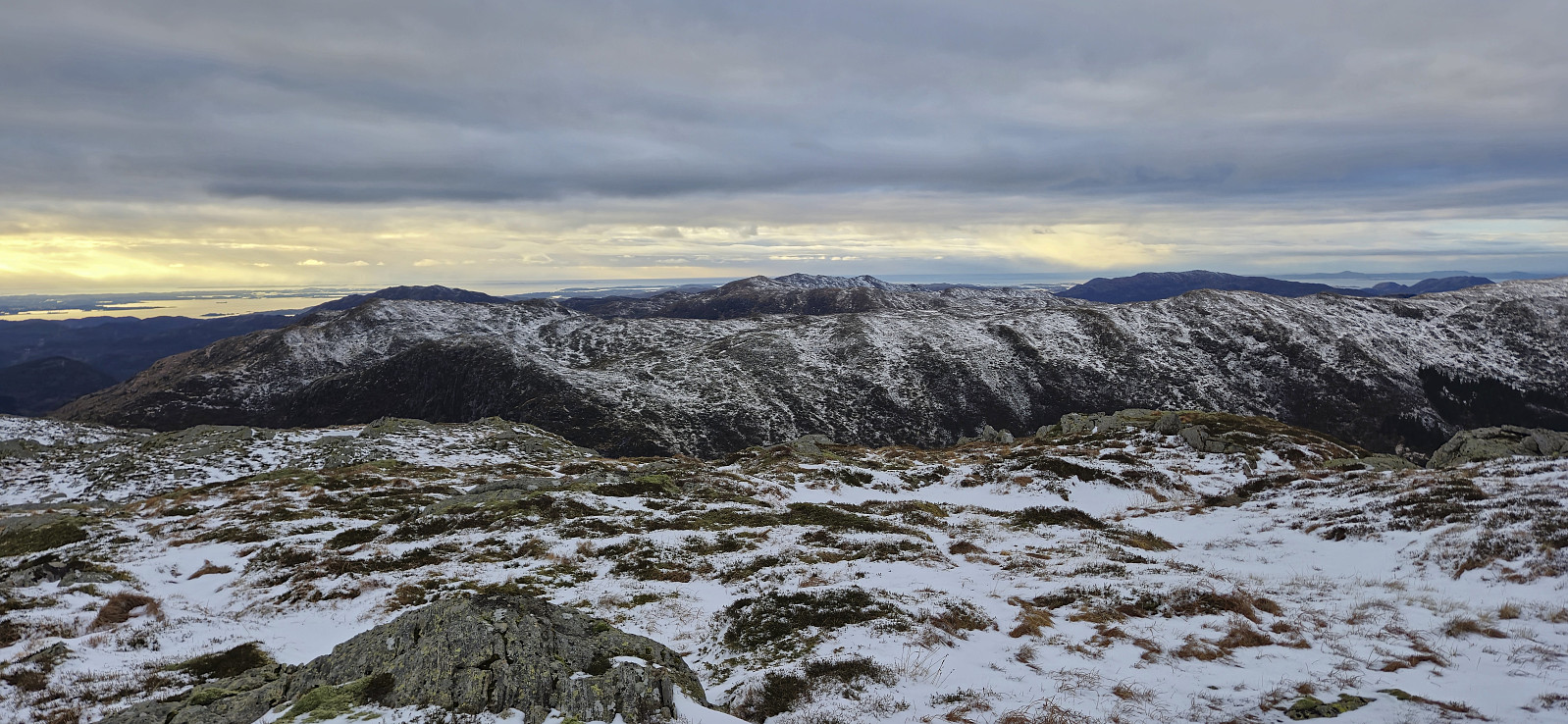
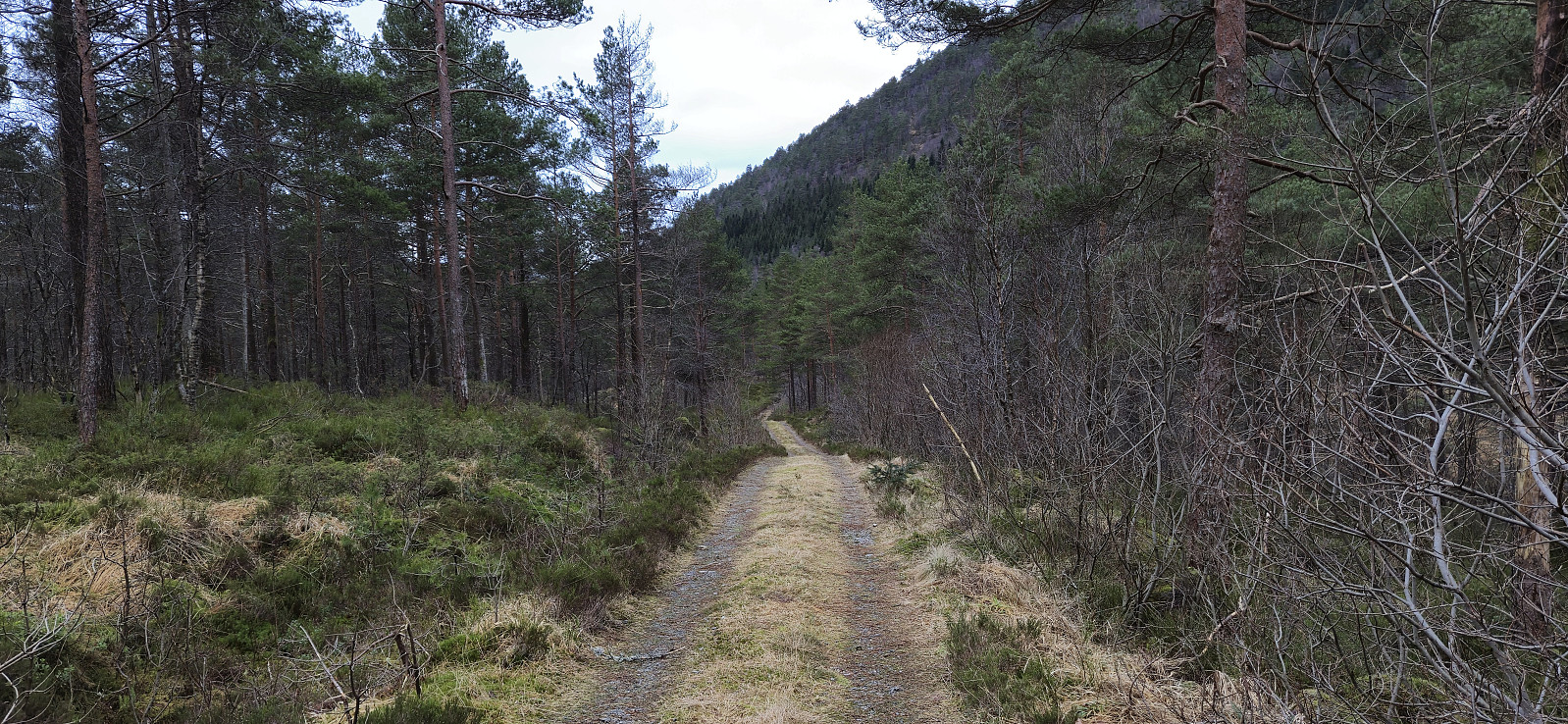
A return to Masfjorden with Endre and a plan for a roundtrip including ascents of Storanova, Gulbrekkefjellet and Hisbotsnuken. We ended up driving a bit later than planned from Bergen but thankfully still made the ferry at Masfjordnes, although with less than two minutes to spare. After the short drive from Duesund to Sleire we parked outside Sleire skulemuseum and walked the short distance west to the start of the gravel road heading northwest towards Hatleliåsen. This road later turned into a tractor road that we followed all the way to the top of the pass west of Storenova. Here we, to our surprise, found a marked trail that led us all the way to the large summit cairn.
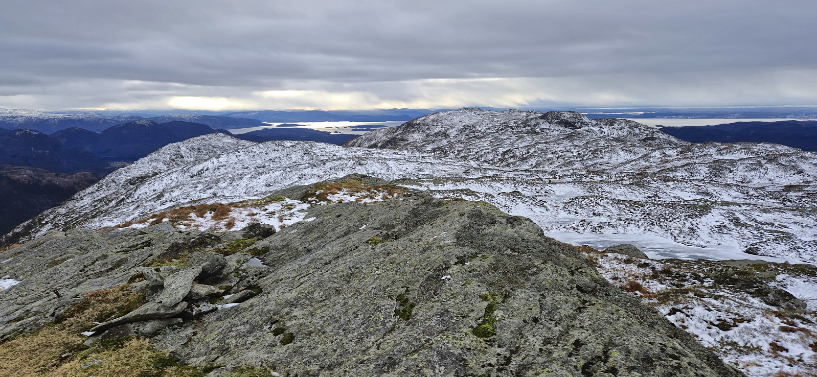
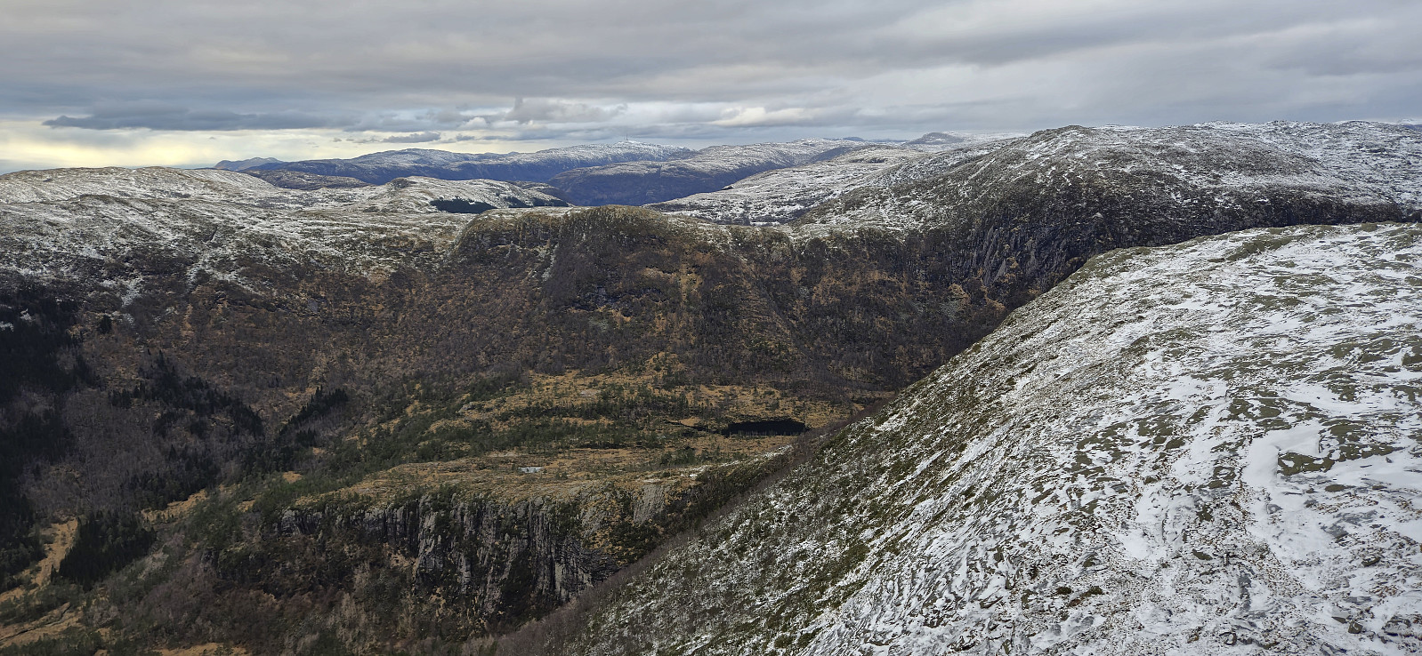
Inspired by an external trip report by Arnt Flatmo, we continued northeast from the summit to connect with a trail into Myrdalen for a shortcut to Gulbrekkefjellet. At first we followed blue trail markers but when these seemed to head too much to the north/east, we abandoned the markers and instead made our own way northeast.
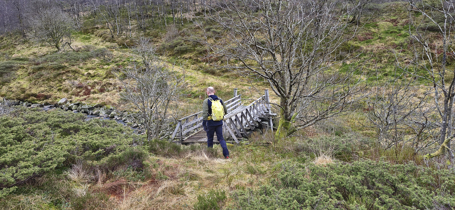
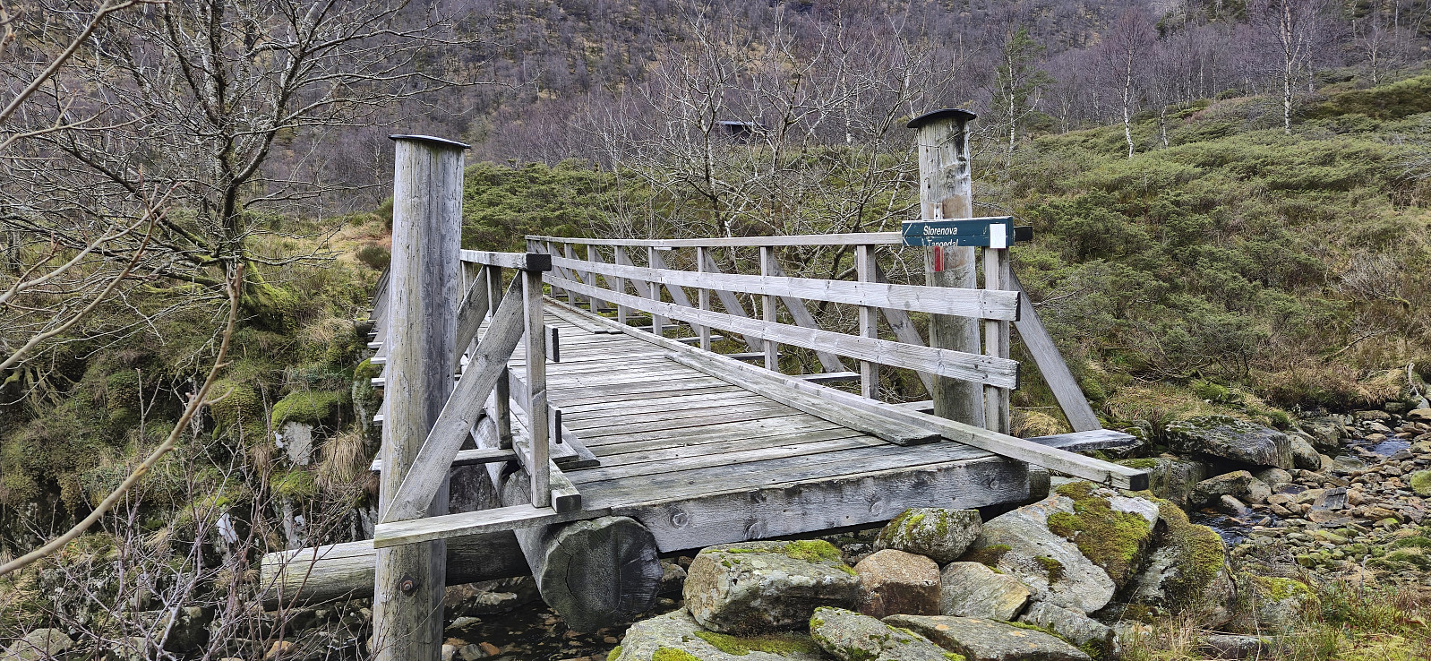
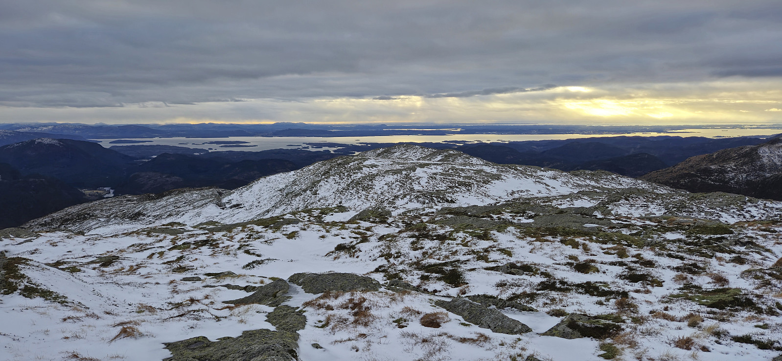
Our route choice here was probably not the best though and we had to scramble around Sversvatnet on the eastern side. Most likely it would have been better to keep further east or perhaps round the small lake on the western side. But in the end we connected with the trail which later turned into a tractor road. There were even one or two red trail markers and when we later crossed the bridge over Myrdalselva there was also a sign for Storenova. Hence, it may be possible to follow a marked trail all the way from the summit cairn.
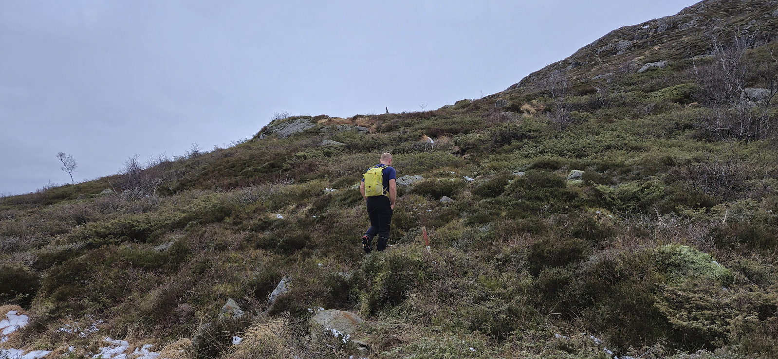
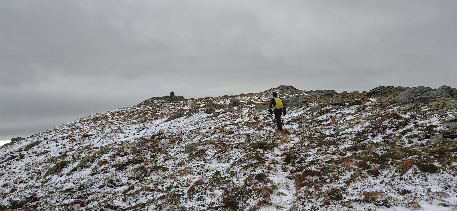
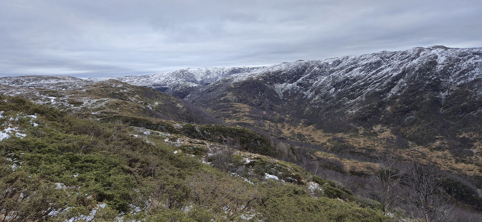
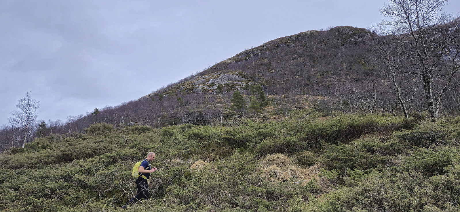
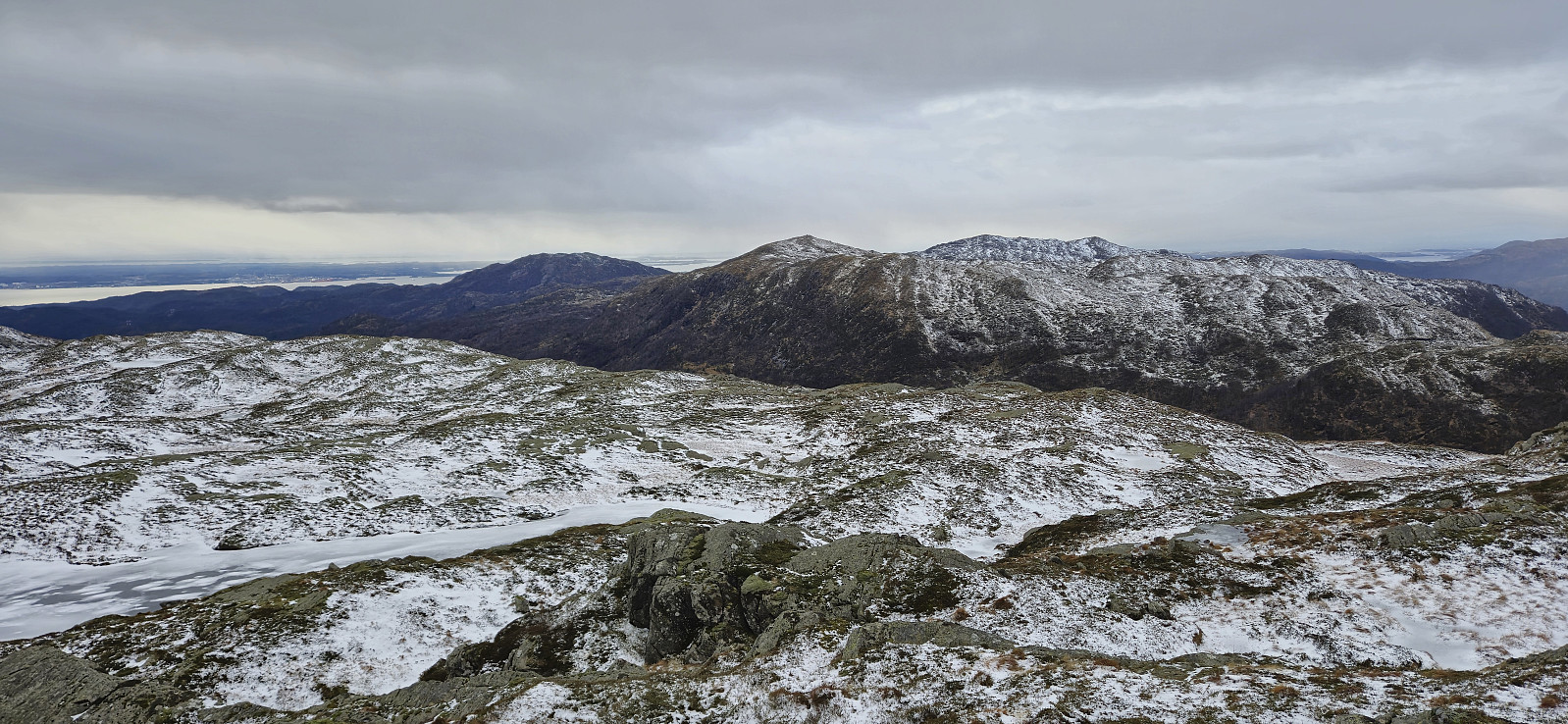
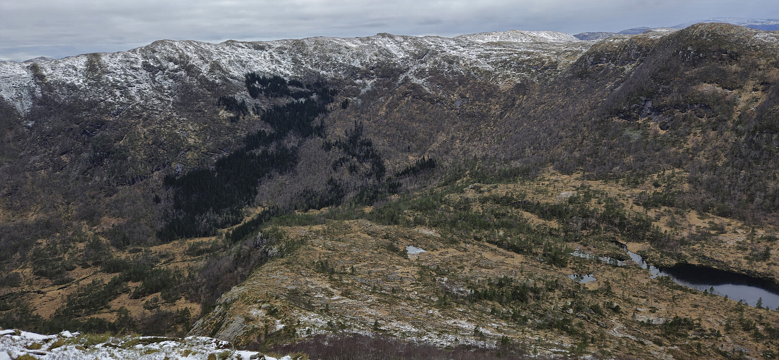
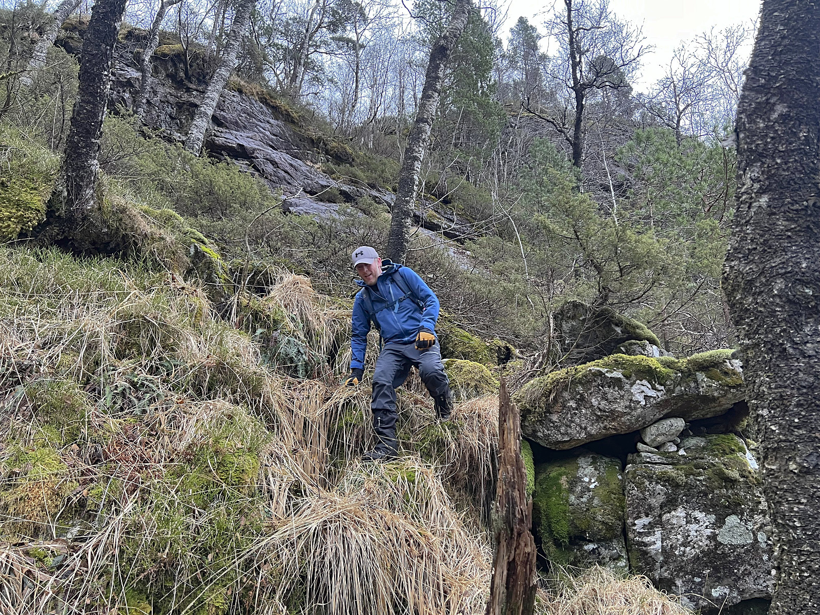
After crossing the river we headed northeast along a wet trail before starting a steep off-trail ascent to north of Gulbrekkefjellet. This included a bit of light scrambling but this can probably be avoided by choosing a slightly different route. In any case, the ascent did not present any real challenges and we could proceed by completing the remaining flatter distance to the summit.
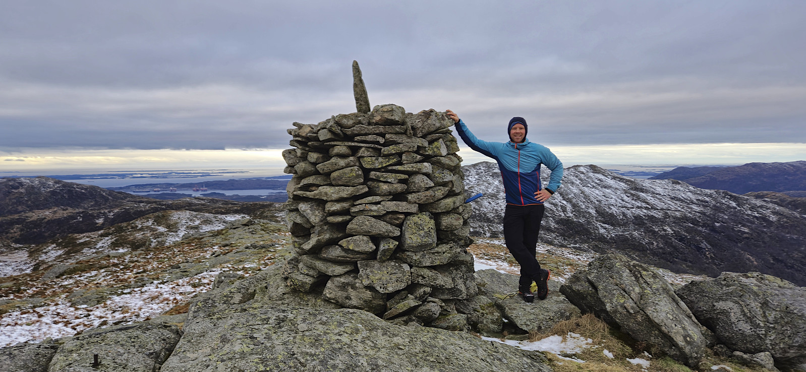
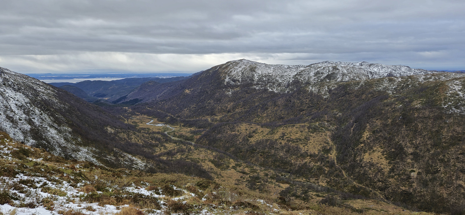
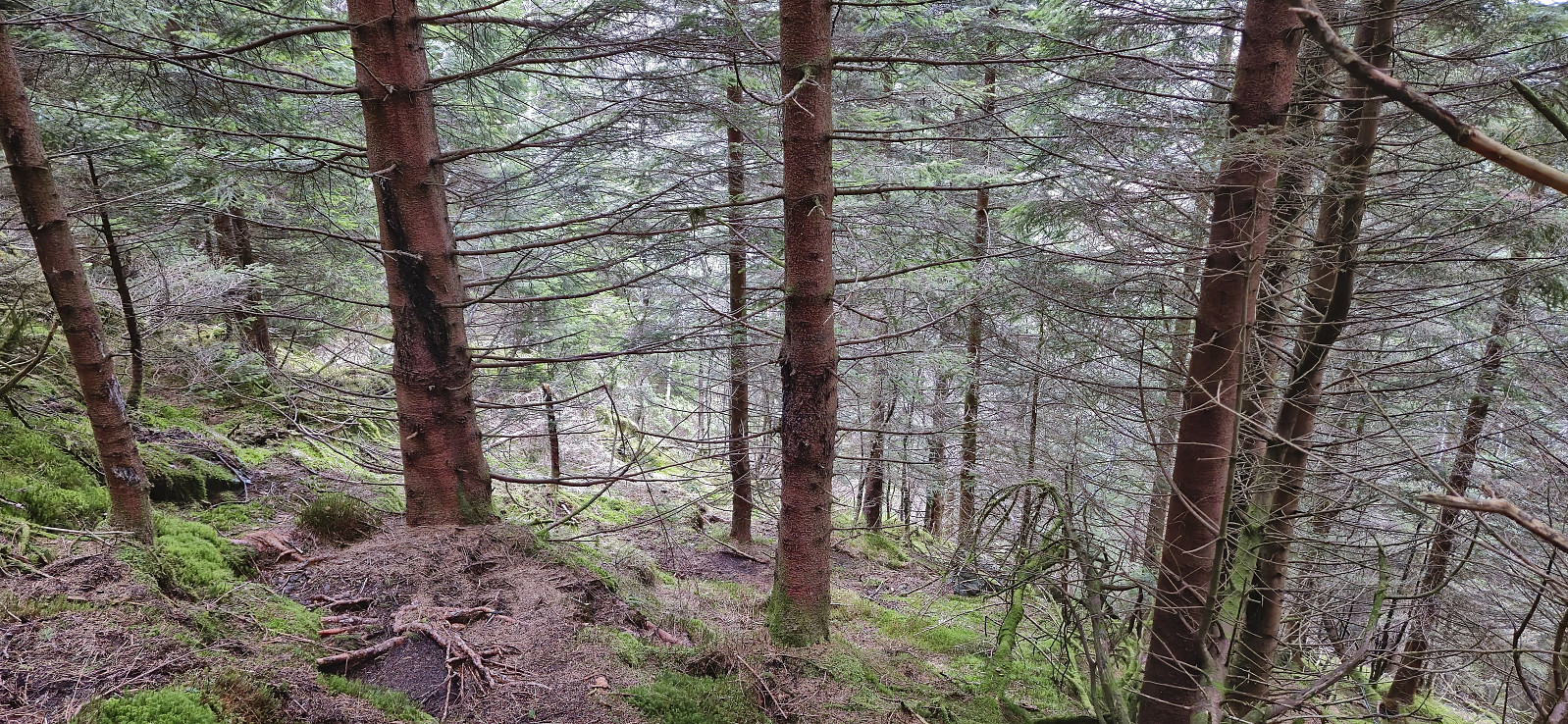
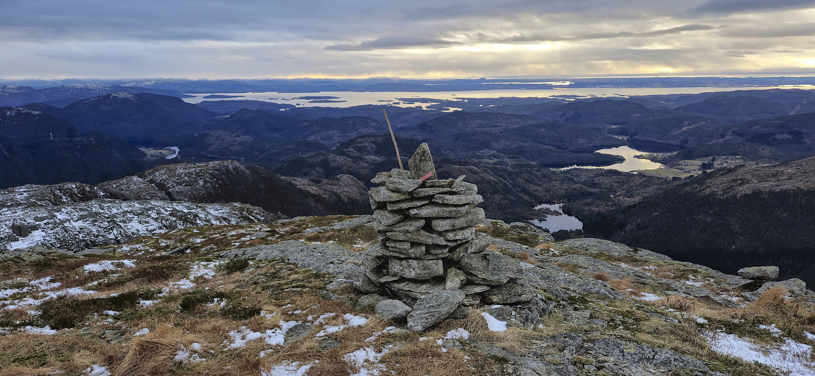
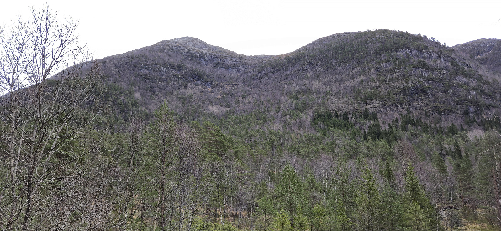
From the summit of Gulbrekkefjellet we turned our attention to Hisbotsnuken, where we once more had found inspiration from a previous trip report, this time from Janne Eikås. We started by backtracking a short distance before heading steeply into the valley between Gulbrekkefjellet and Hisbotsnuken. At first this was straightforward but then the terrain turned much steeper, combined with lots of dry twigs and branches trying to block our way. This mainly affected our speed though and there were no real difficulties or exposed sections.
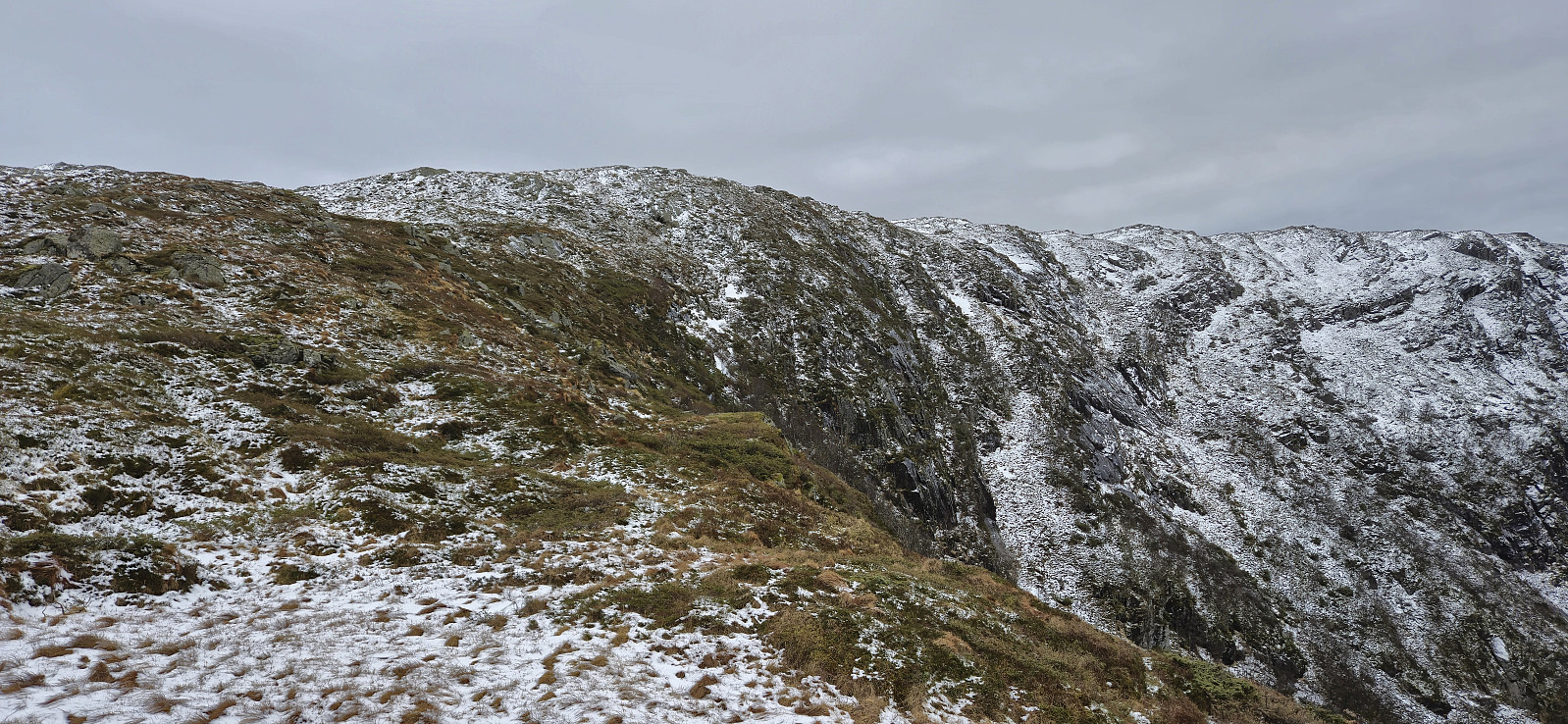
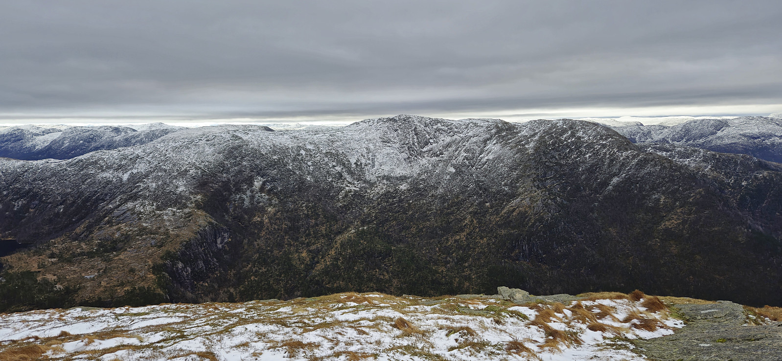
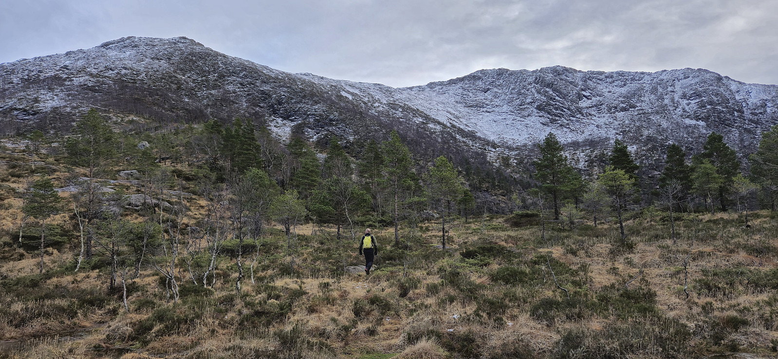
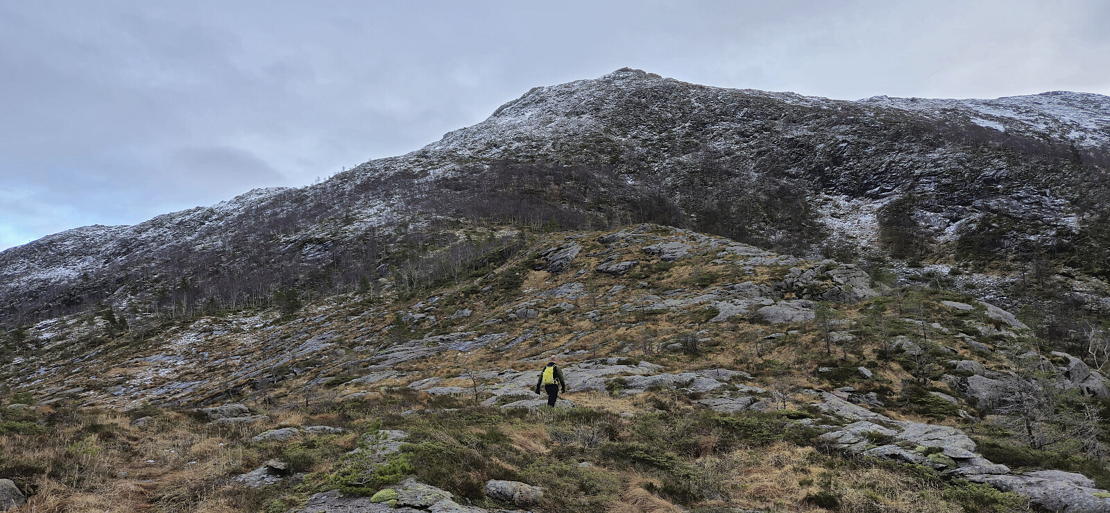
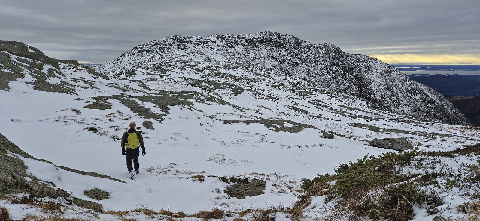
After finally making it out of the dense forest we crossed a stream and directly began the ascent to Hisbotsnuken via Tverrfjellet. The final ascent looked very steep from a distance but turned out to be relatively straightforward and without any exposed sections. Note that we used a slightly different route compared to the previous report. The main difference being that we avoided the steepest areas. The final distance to the summit of Hisbotsnuken was straightforward.
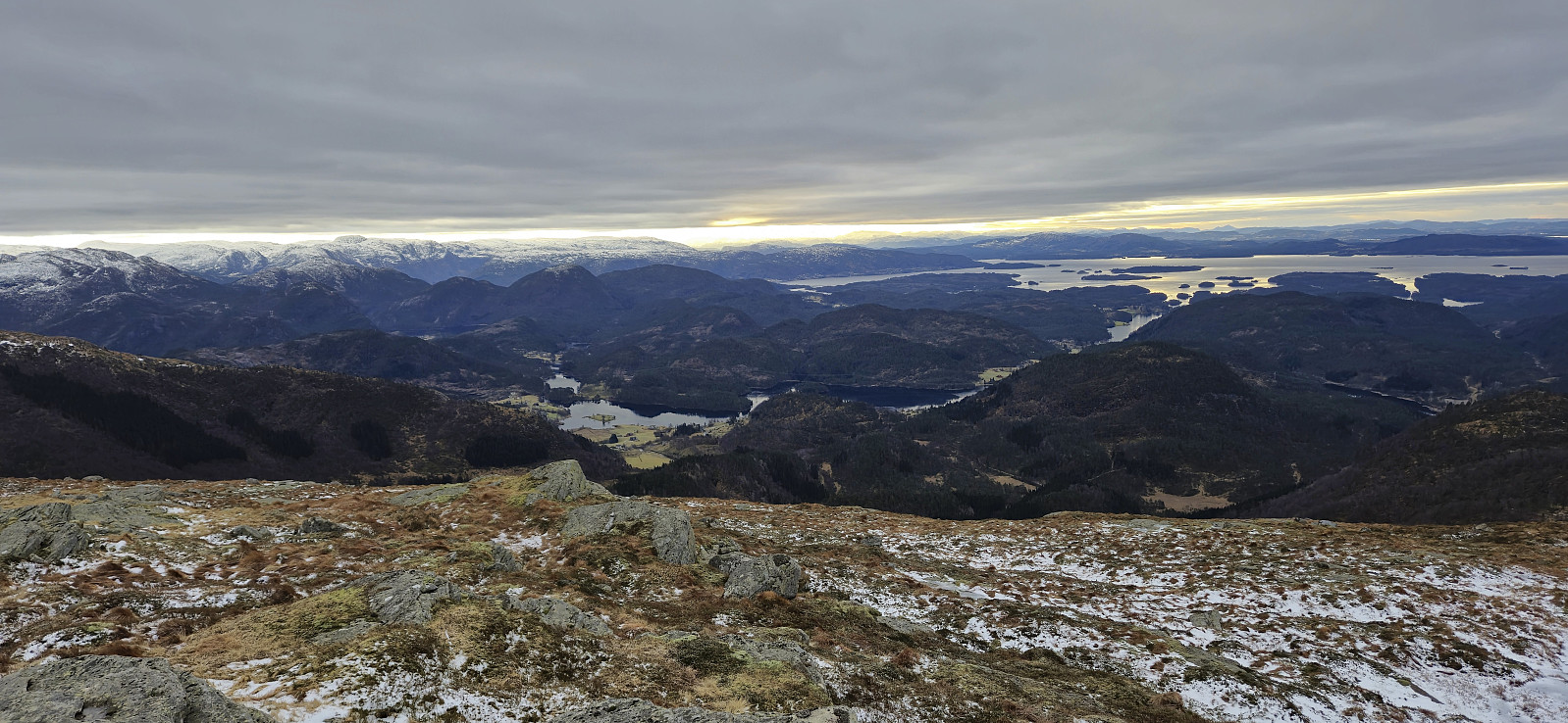
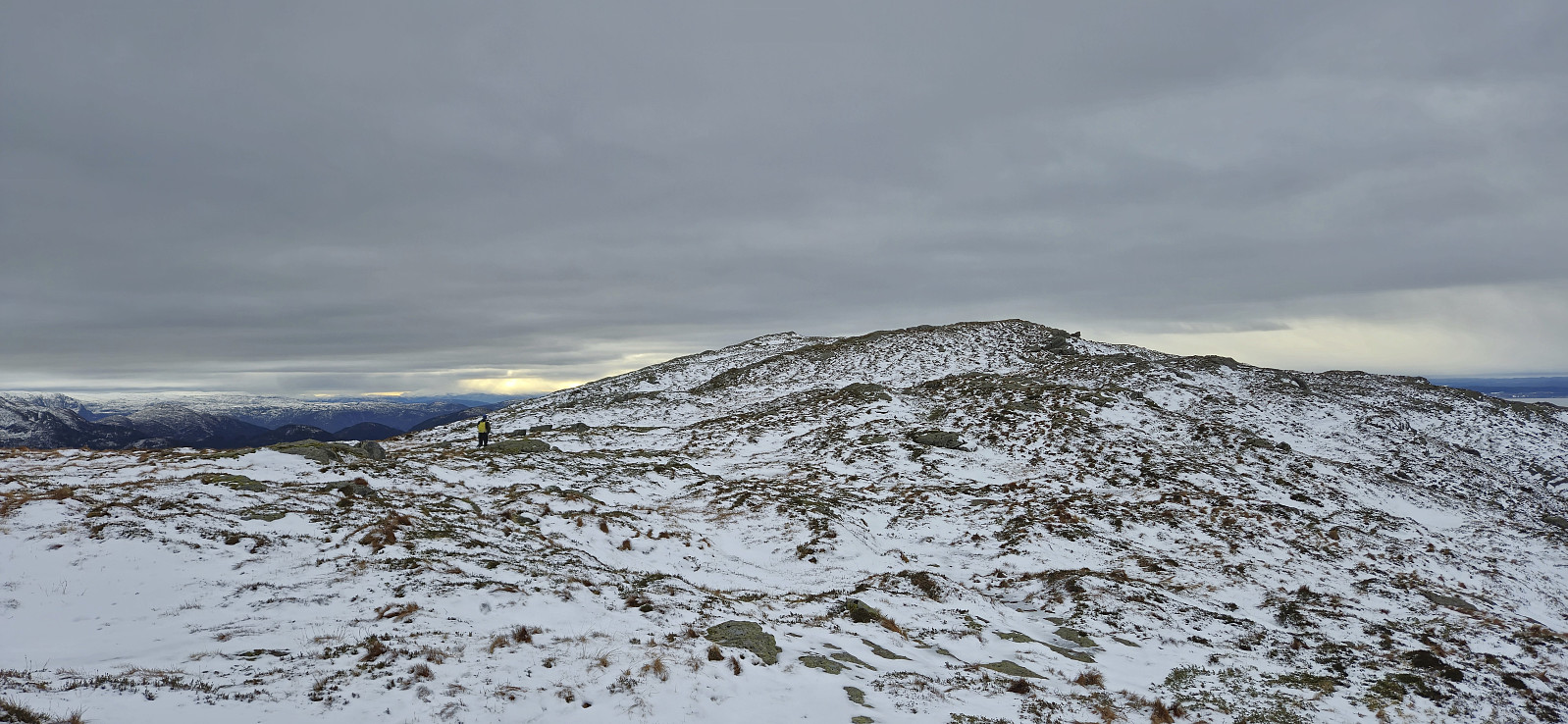
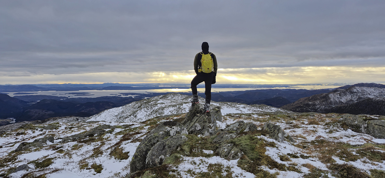
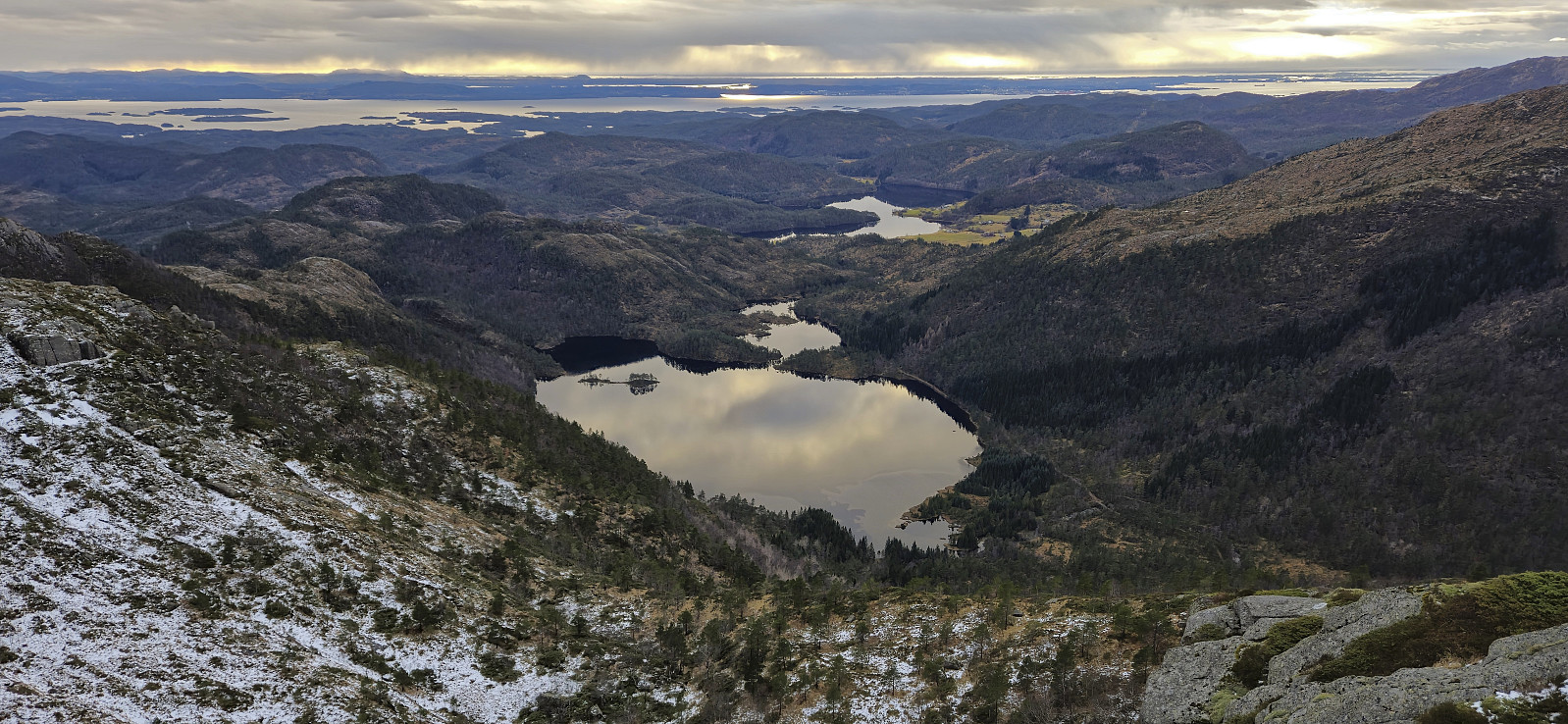
From the highest point at Hisbotsnuken we continued southwest to where Hisbotsnuken is indicated on the map where there was a small cairn. All that now remained was the steep descent to Markusdalsvatnet. Thankfully, we still had the previous trip report to guide us and we pretty much followed the same route. Similar to the descent from Gulbrekkefjellet, this descent also did not present any real challenges, but due to the messy terrain with lots of juniper bushes and hidden holes, our speed was once more drastically slowed down. Clearly the least enjoyable part of the hike. Upon finally reaching the tractor road, all that was left was to follow it southwest to the parking lot.
To conclude, the roundtrip described in this report provides a nice way of connecting the three summits. However, with several steep off-trail ascents/descents it may not be the fastest, and definitely not the easiest, way of visiting the three peaks. Perhaps it would have been better to only include Storenova and Gulbrekkefjellet in the roundtrip, and rather ascend Hisbotsnuken via the trail from Lindebotstjørna?
| Start date | 01.02.2025 09:15 (UTC+01:00) |
| End date | 01.02.2025 16:42 (UTC+01:00) |
| Total Time | 7h 26min |
| Moving Time | 6h 28min |
| Stopped Time | 0h 57min |
| Overall Average | 2.5km/h |
| Moving Average | 2.9km/h |
| Distance | 18.6km |
| Vertical meters | 1,478m |


User comments