
Saturday walk to Knappen (07.10.2023)

Written by HHauser (Helwig Hauser)

| Start point | Varden (45m) |
|---|---|
| Endpoint | Varden (45m) |
| Characteristic | Hillwalk |
| Duration | 1h 00min |
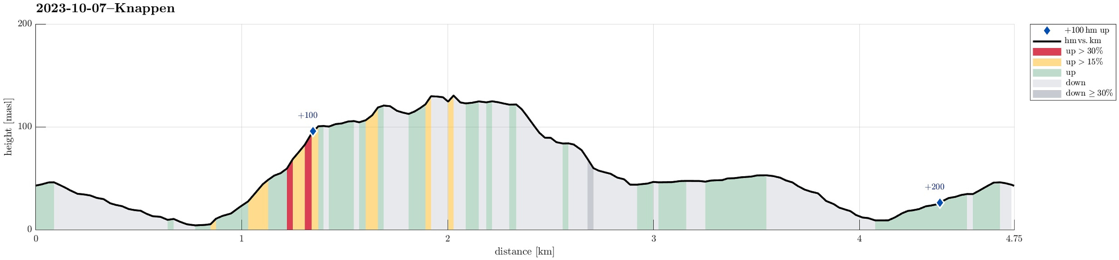
| Distance | 4.8km |
| Vertical meters | 222m |
| GPS |
|
| Ascents | Eldtona (128m) | 07.10.2023 |
|---|---|---|
| Knappen (135m) | 07.10.2023 | |
| Visits of other PBEs | Knappen søyle (128m) | 07.10.2023 |
Note that this track has been created from memory, i.e., it was not recorded automatically.
Trip Summary
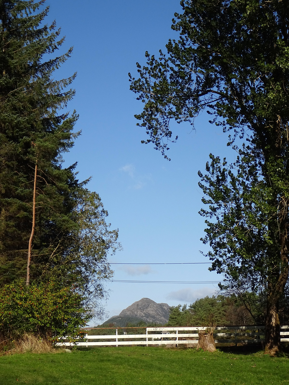
One of our afternoon walks to Knappen, enjoying some nice weekend weather. While we stepped up along one of our more usual routes (via Sandeidbrotet, continuing to Knappen via Eldtona), we chose a partially off-trail route down to Knappenveien. Good to get a bit of fresh air! :-)
Useful Resources
See also the related FB-page Hiking around Bergen, Norway.
Petter Bjørstad has a useful page about Knappen.
Web page UT.no from the Norwegian Trekking Association recommends another hike to Knappen.


User comments