
Raundalsryggen from Reimegrend to Øyeflaten (02.09.2023)

Written by hbar (Harald Barsnes)

| Start point | Reimegrend stasjon (465m) |
|---|---|
| Endpoint | Øyeflaten stasjon (341m) |
| Characteristic | Hillwalk |
| Duration | 10h 14min |
| Distance | 30.4km |
| Vertical meters | 1,975m |
| GPS |
|
| Ascents | Fribottseggi (1,498m) | 02.09.2023 |
|---|---|---|
| Horndalsnuten (1,461m) | 02.09.2023 | |
| Olsskavlen (1,576m) | 02.09.2023 | |
| Punkt ved Olsskavlen (1,572m) | 02.09.2023 | |
| Seldalsnuten (1,549m) | 02.09.2023 | |
| Skipadalsnuten (1,496m) | 02.09.2023 | |
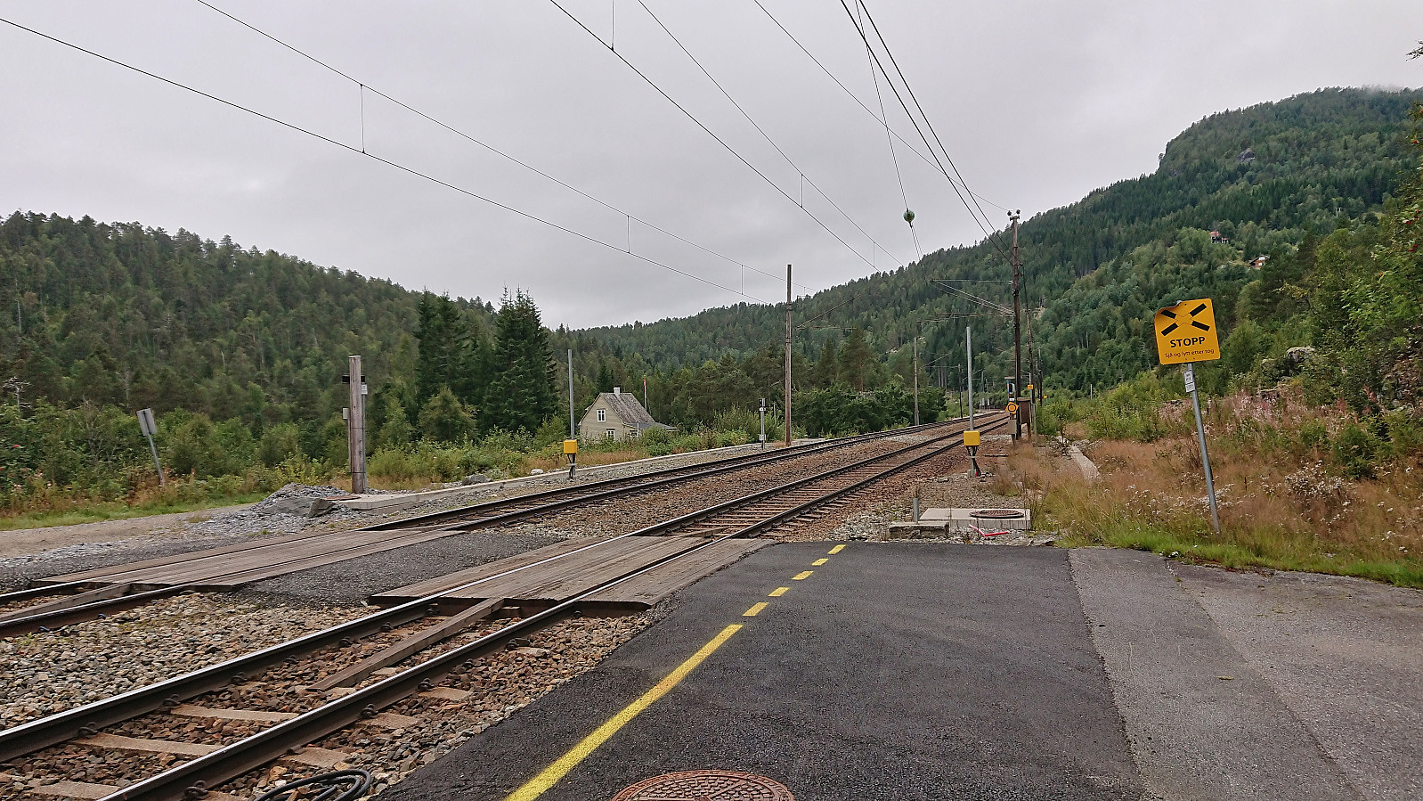
| Visits of other PBEs | Bru vest for Laksehaugen (463m) | 02.09.2023 |
| Honndalen (648m) | 02.09.2023 | |
| Mysedøla bru (521m) | 02.09.2023 | |
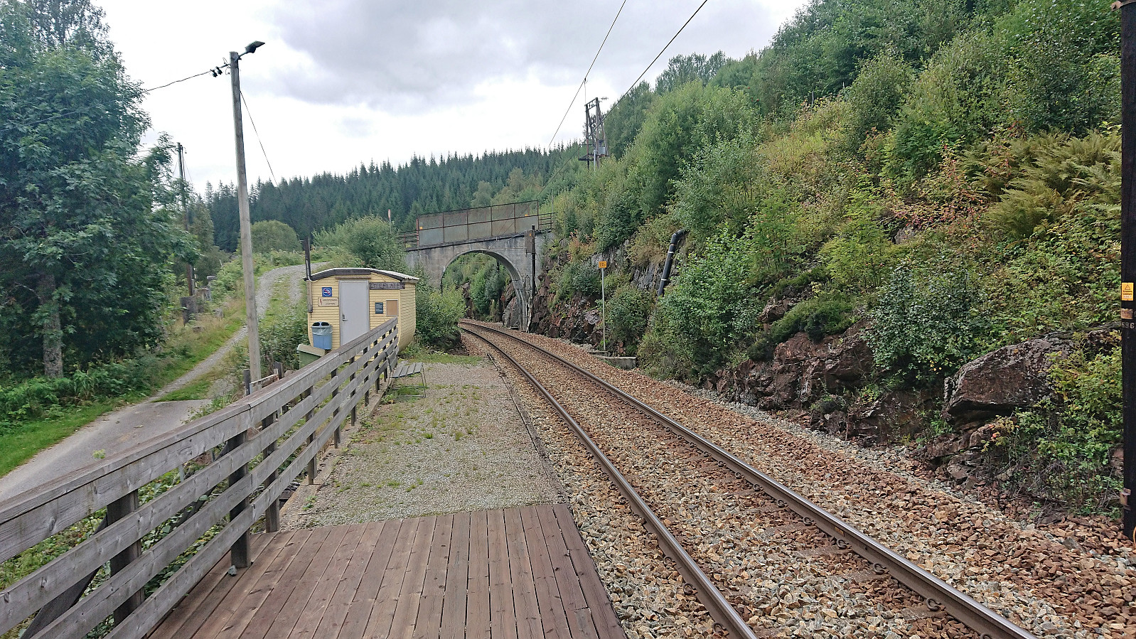
| Reimegrend stasjon (465m) | 02.09.2023 | |
| Vetlaheggstølen (513m) | 02.09.2023 | |
| Vetramyri bru (328m) | 02.09.2023 | |
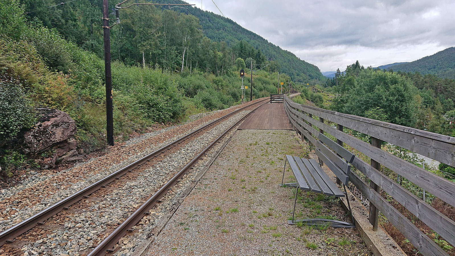
| Øyeflaten haldeplass (341m) | 02.09.2023 |
Raundalsryggen from Reimegrend to Øyeflaten
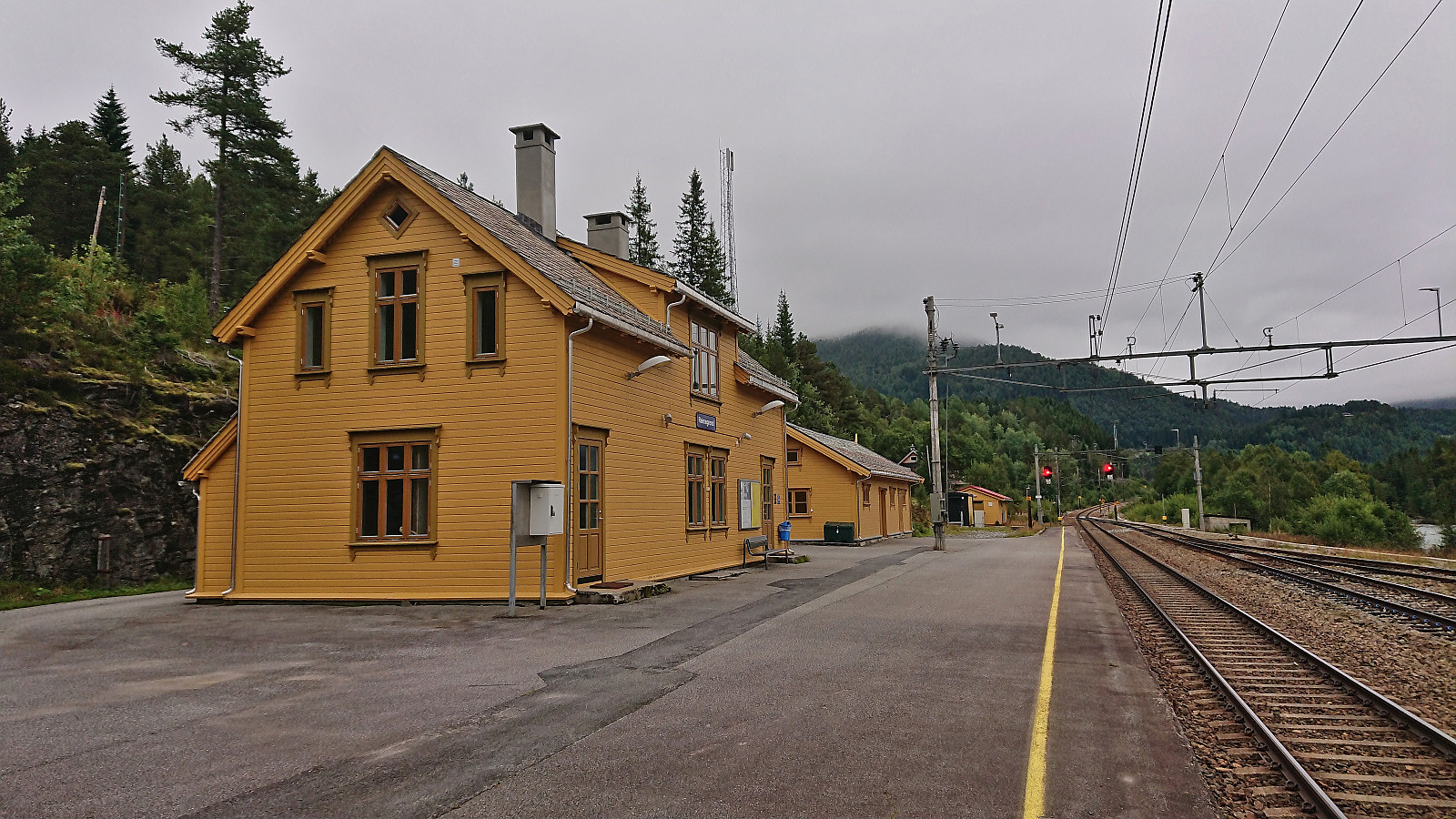
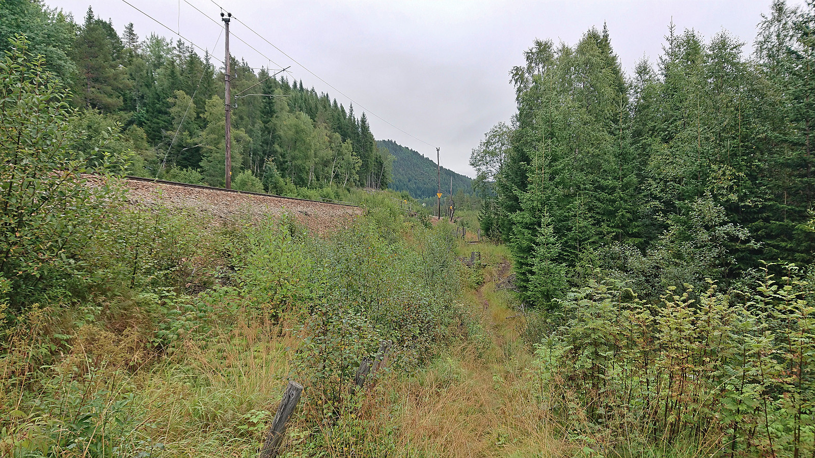
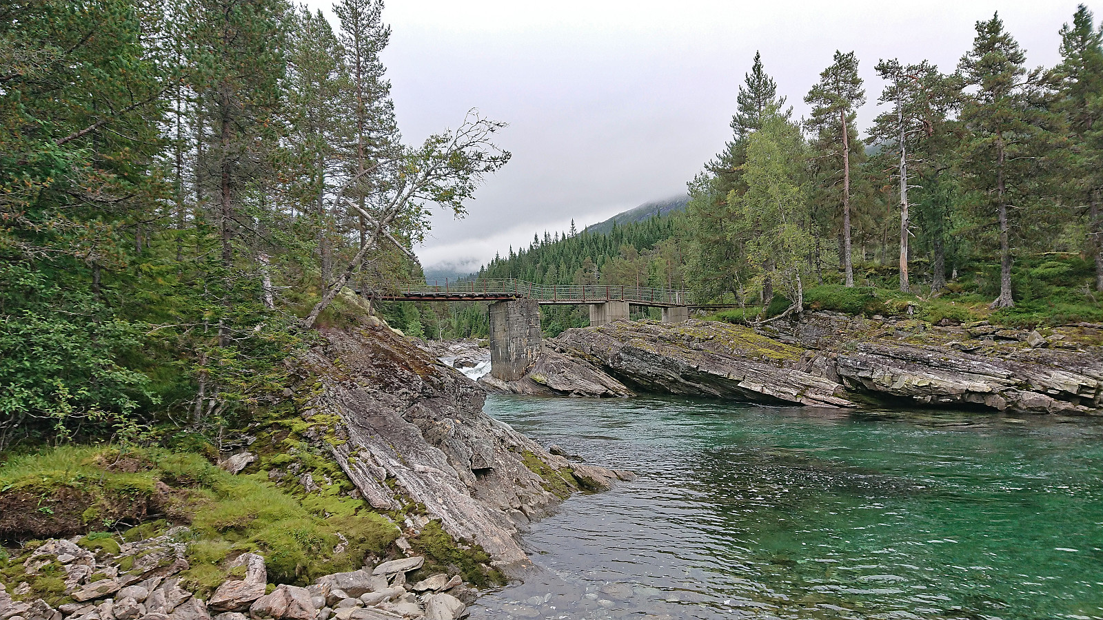
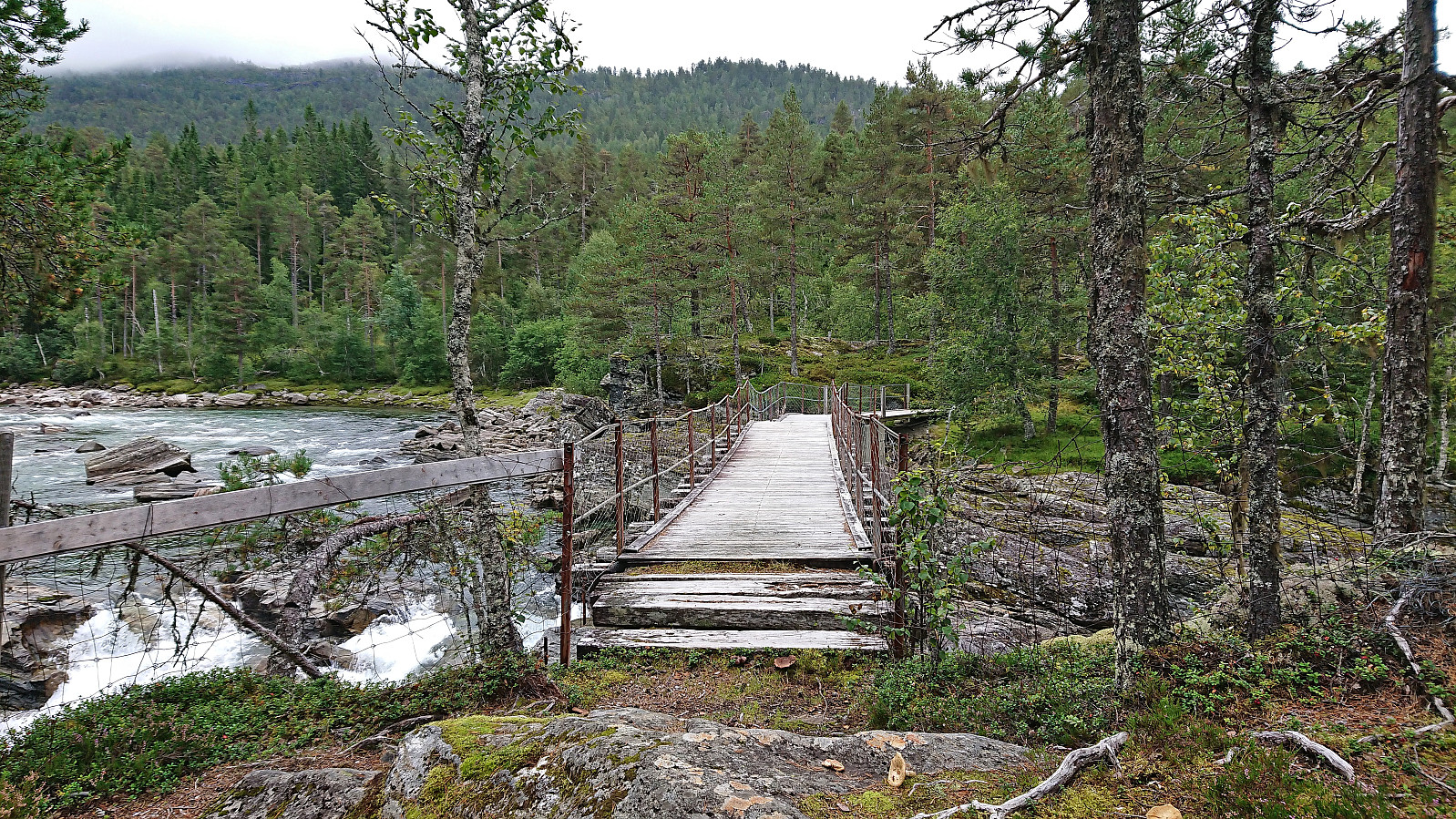
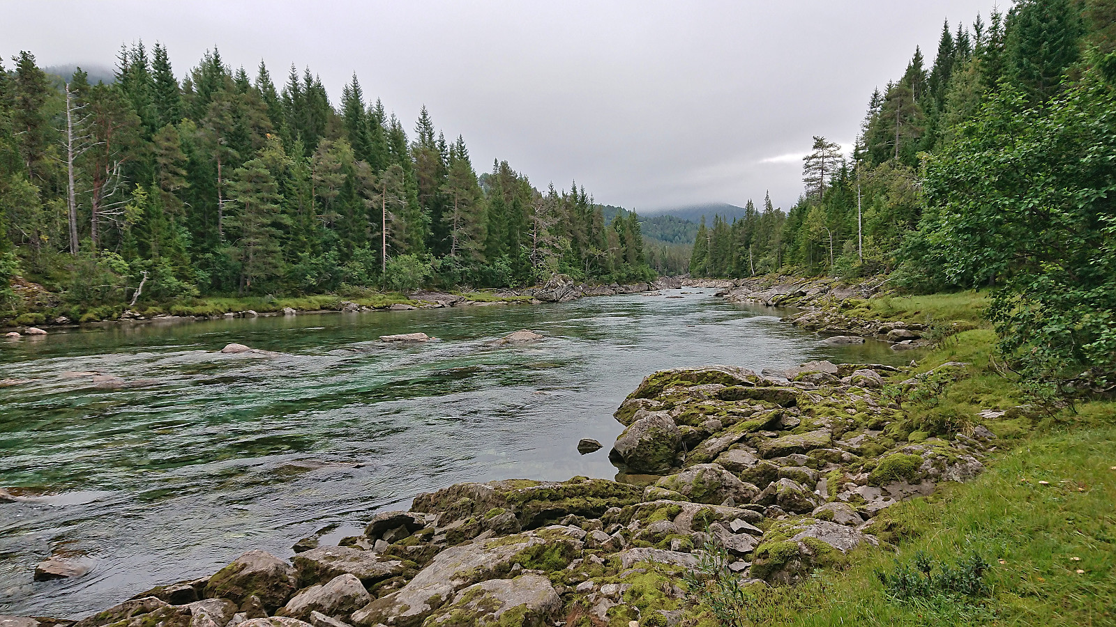
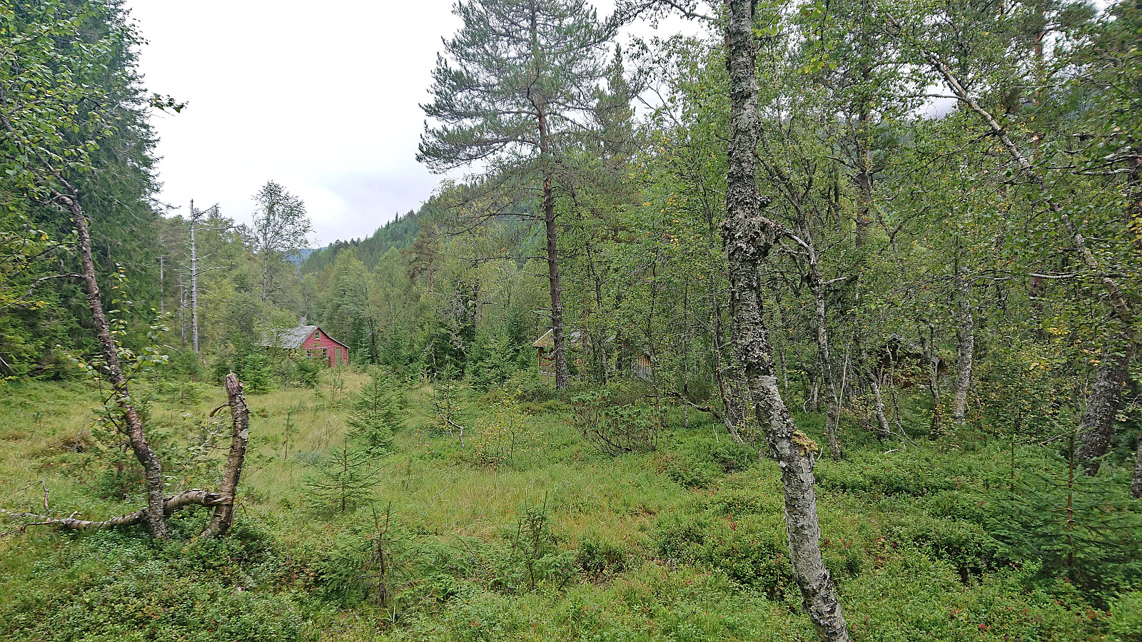
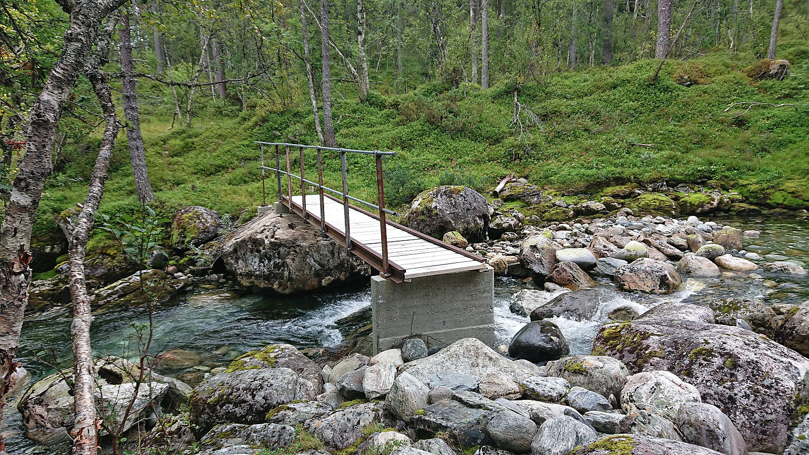
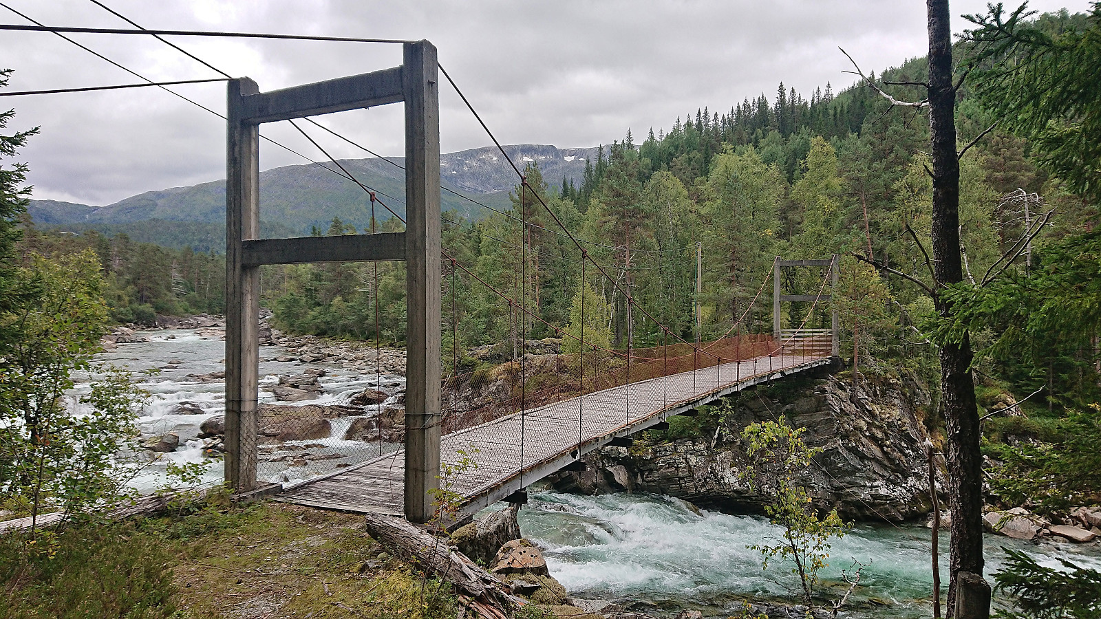
Started by taking the train to Reimegrend and after safely crossing to the south side of the railroad tracks I followed the river east, first off-trail and then on a little used path that included a small wooden bridge. Just after the bridge I turned south towards the river along a trail which I thought would bring me to the bridge across Raundalselvi. This trail however pretty much came to an end at a small island northwest of the bridge and I had to find my own way to the bridge from there. Thankfully, the water level in the river was not very high and I managed to leave the island and get to the bridge without getting wet.
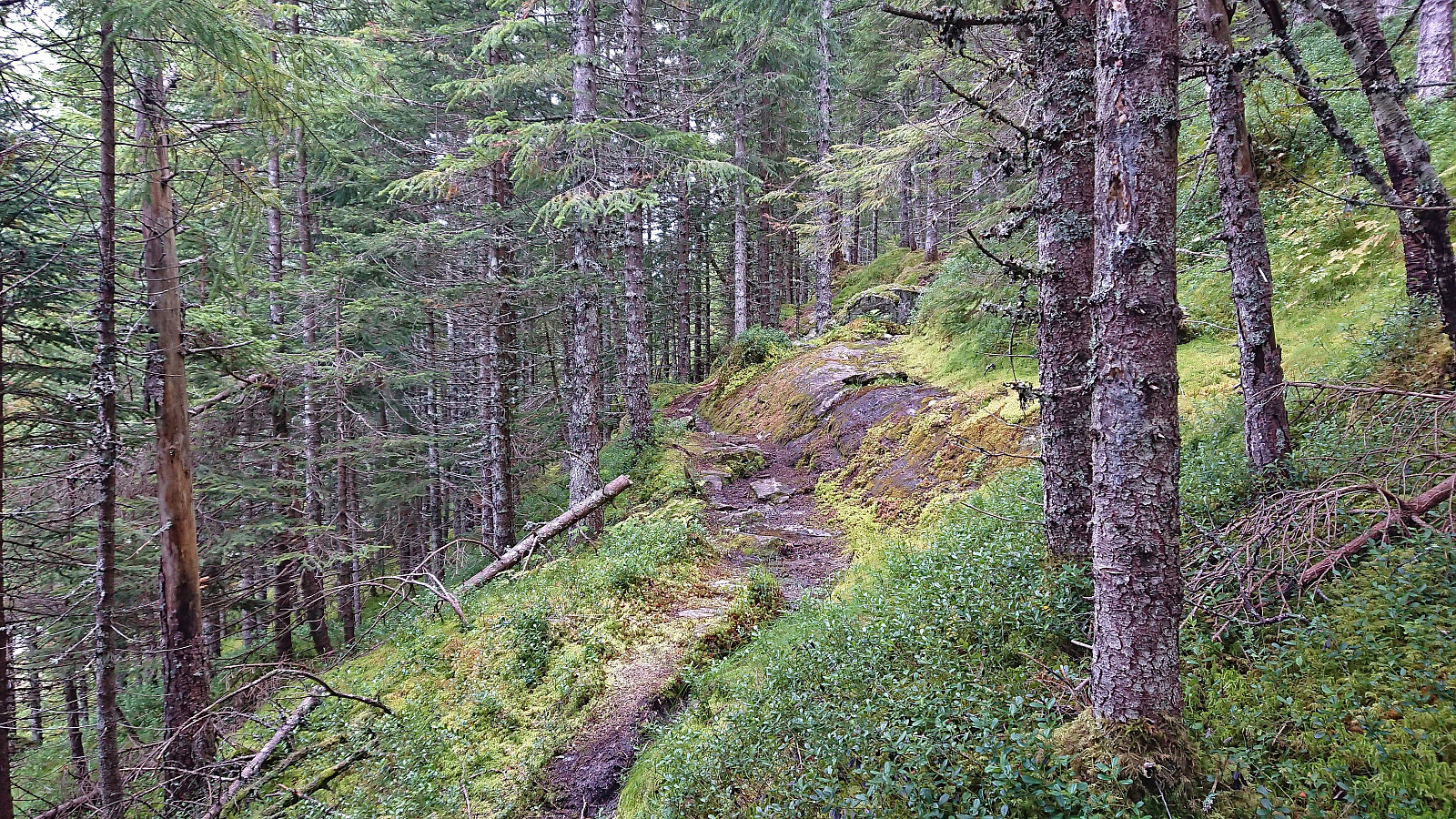
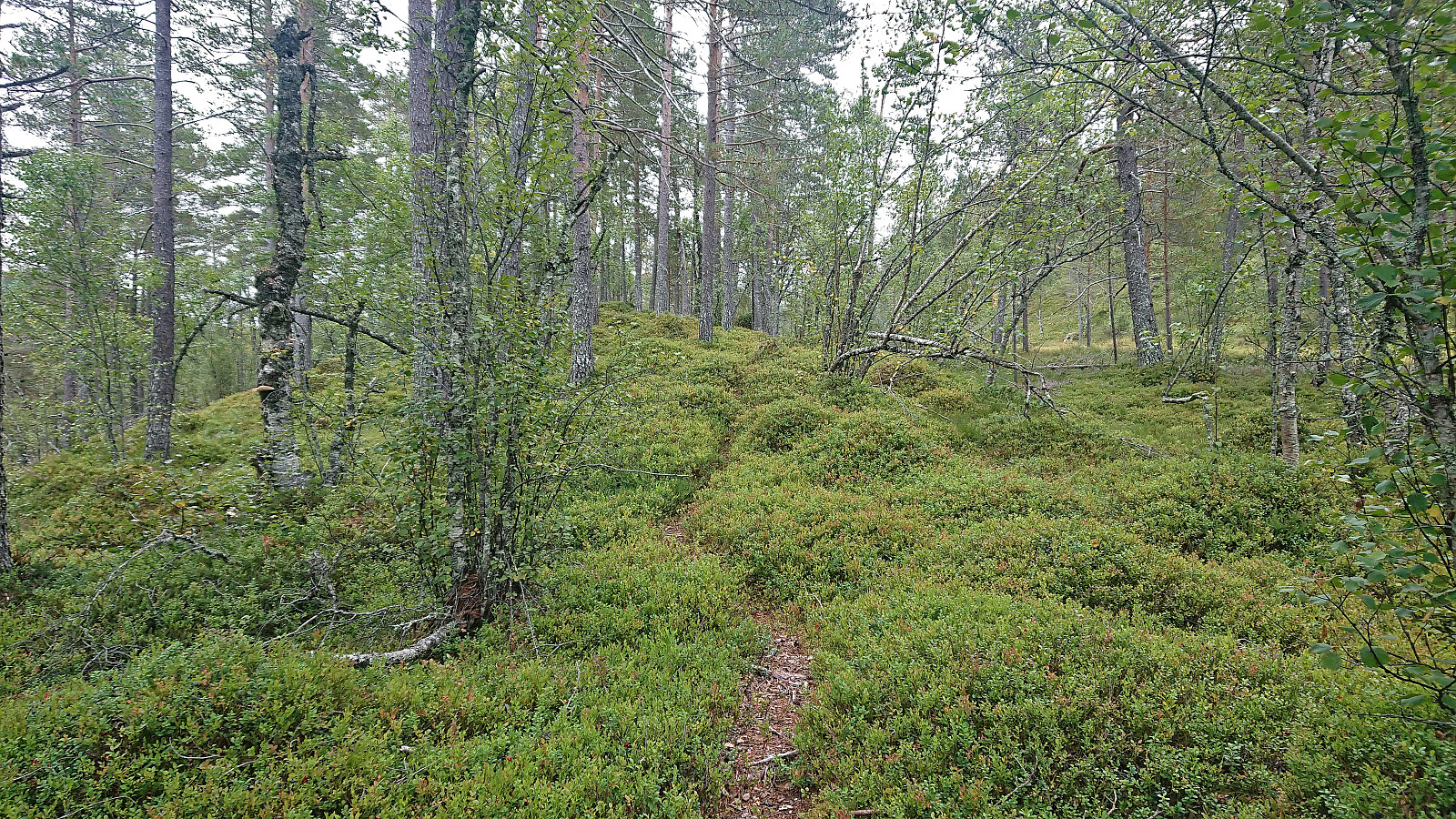
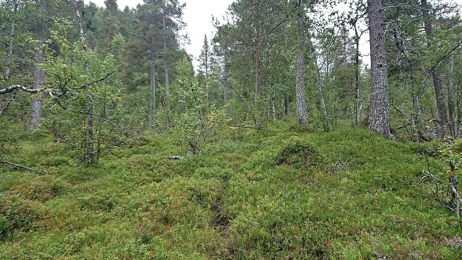
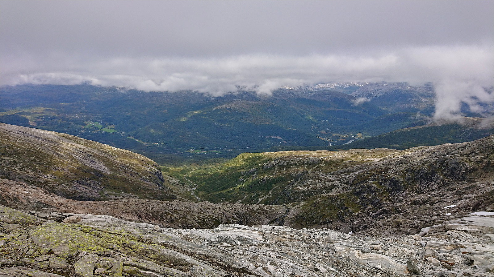
After crossing the bridge I followed a trail southeast to Vetlaheggstølen and Mysedalen. While walking along the river was nice, the trail was clearly not very frequently used and disappeared several times. From Vetlaheggstølen my plan had been to first follow the trail up Mysedalen and then later head east to Tungefjellet, but as I did not see any traces of the trail in Mysedalen indicated on the map I instead crossed Mysedøla via a small bridge early on and continued on a weak trail more directly towards Tungefjellet. At first this included a bit of fighting with both the terrain and the vegetation but soon the terrain opened up and my progress was much improved.
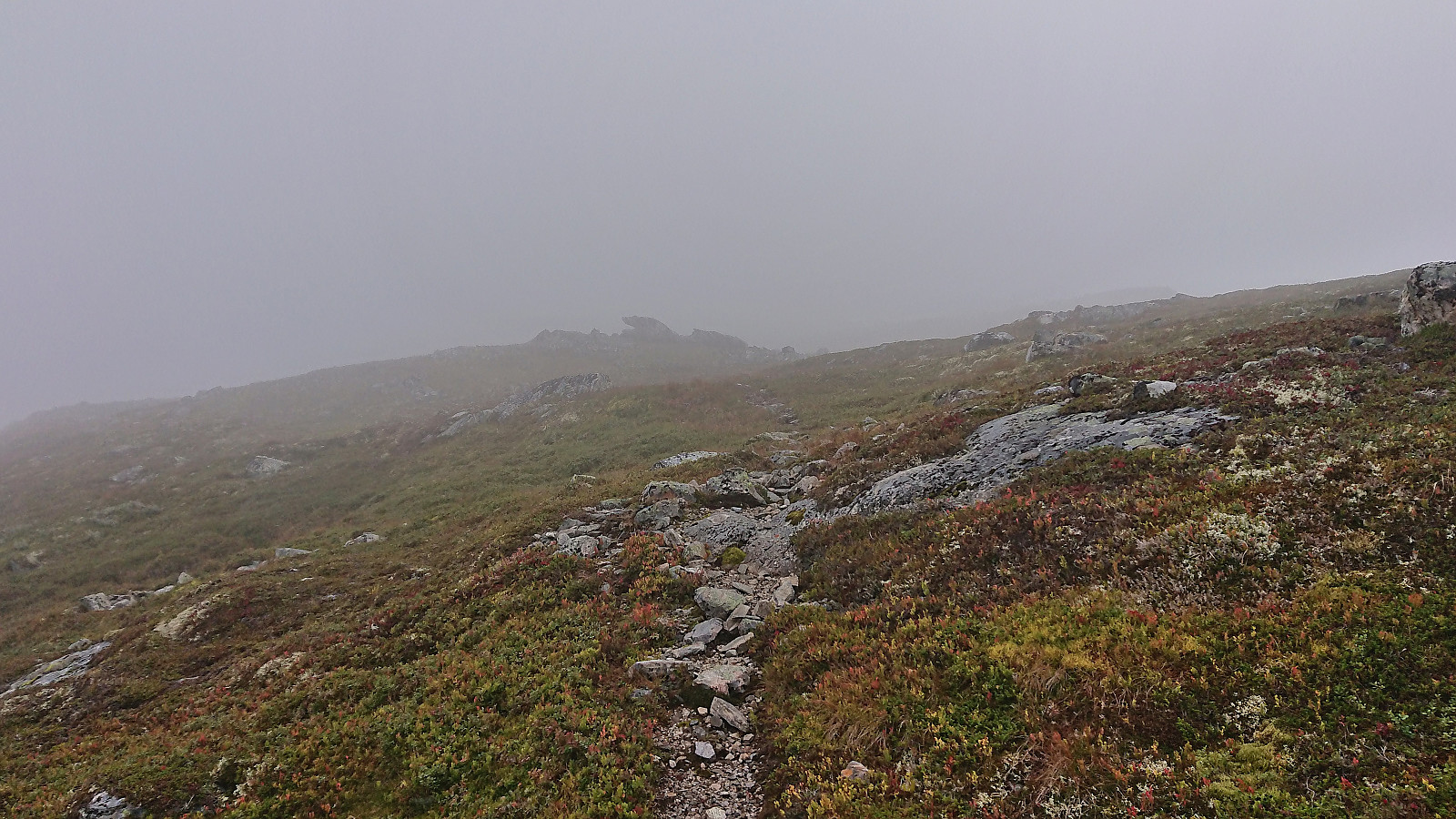
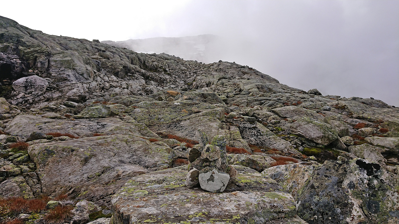
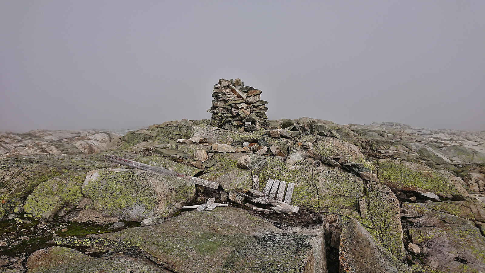
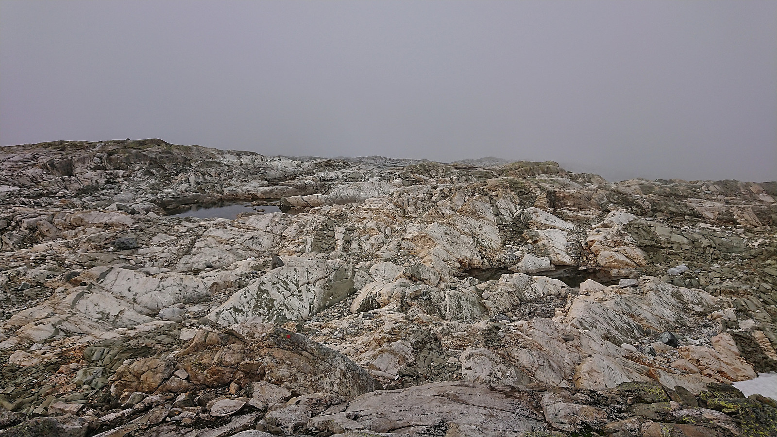
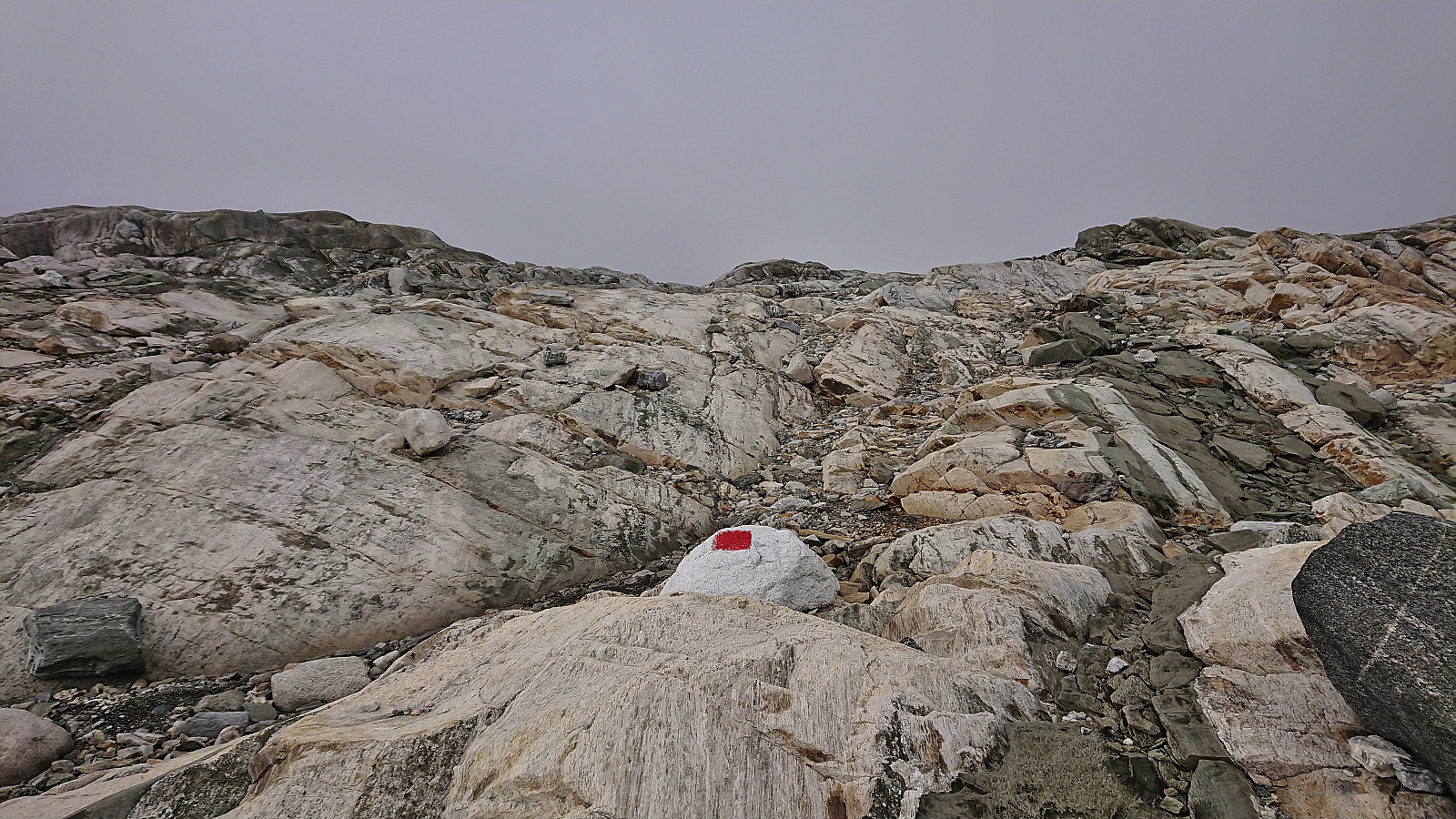
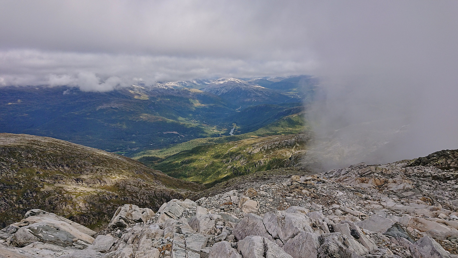
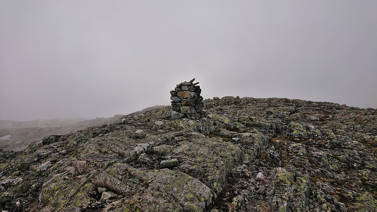
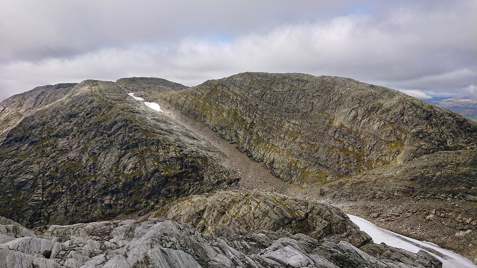
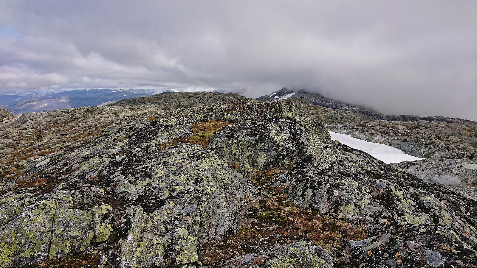
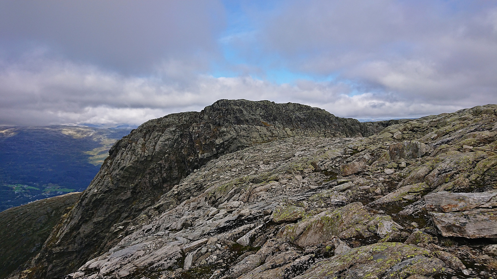
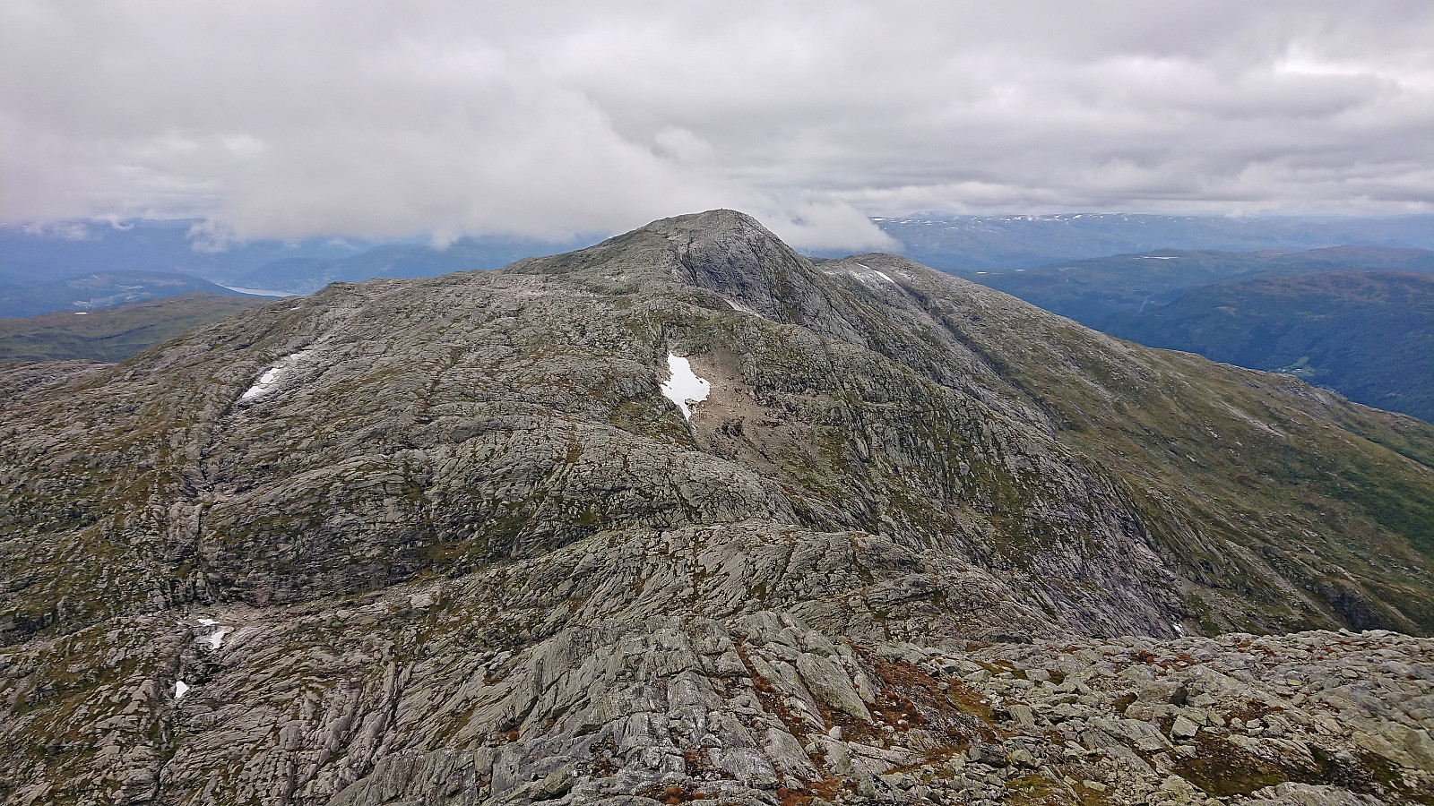
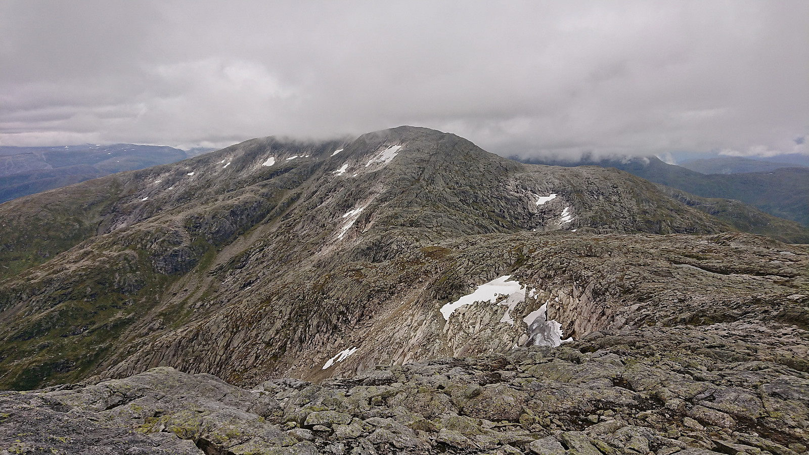
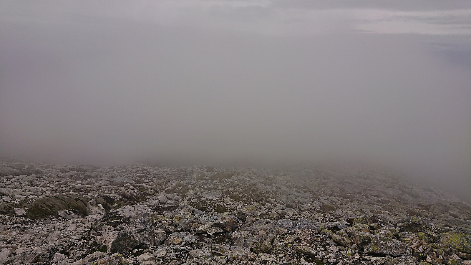
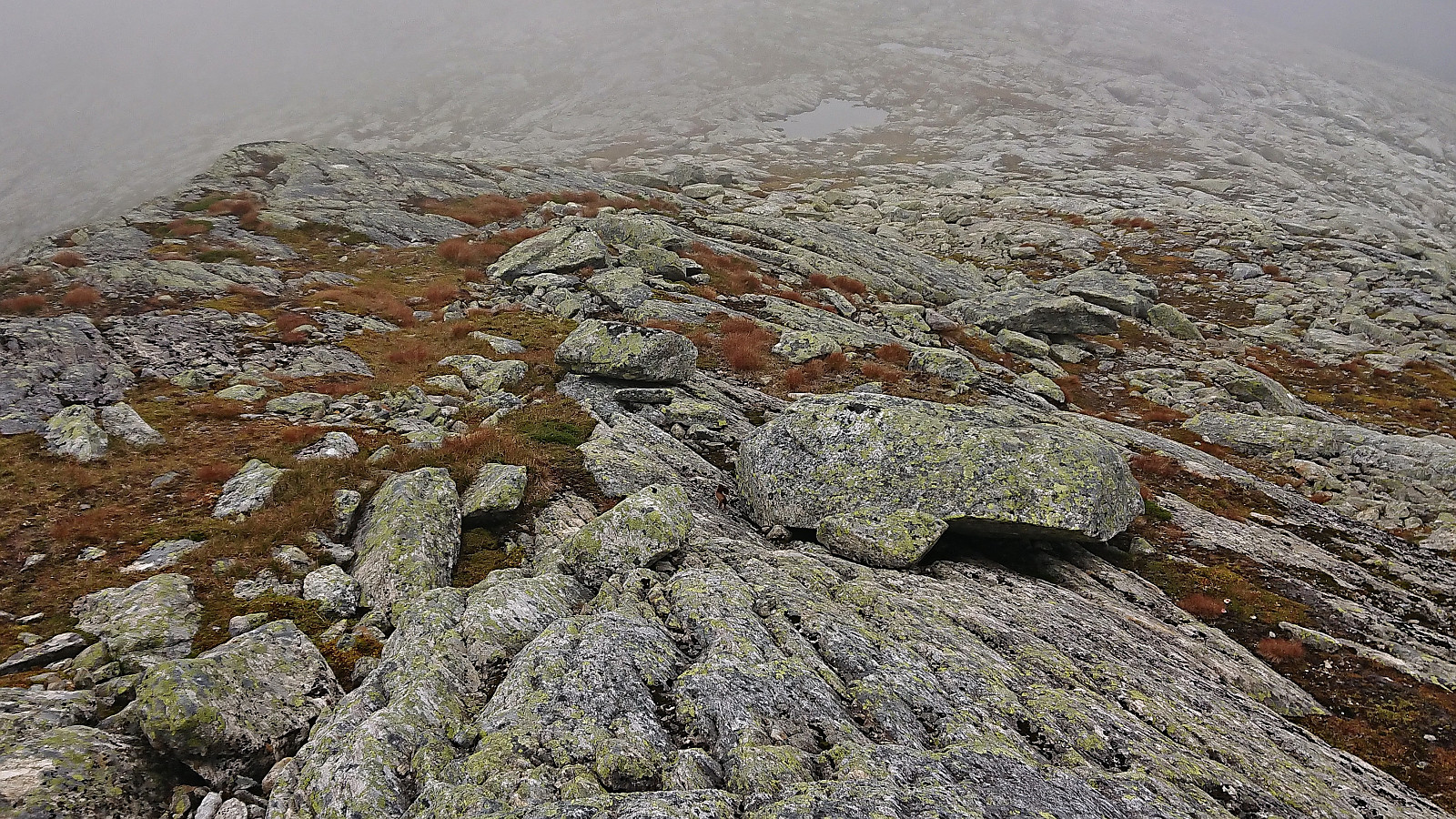
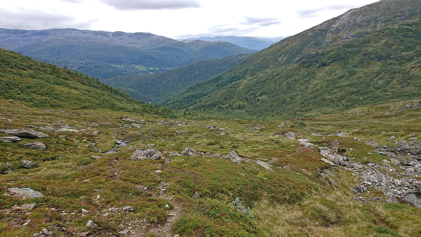
My next challenge was the low-hanging clouds that greatly reduced the visibility and hindered me from planning more than a couple hundred meters at the time. This, for example, resulted in an unnecessary, but thankfully not too long, detour around a small hill when I came across what looked like a track. Later there were also small cairns showing the way, but these were not consistent and I more or less just made my own way towards the summit of Olsskavlen. Interestingly, Olsskavlen had two large cairns less than 100 meters apart, with the southern one located at the highest point.
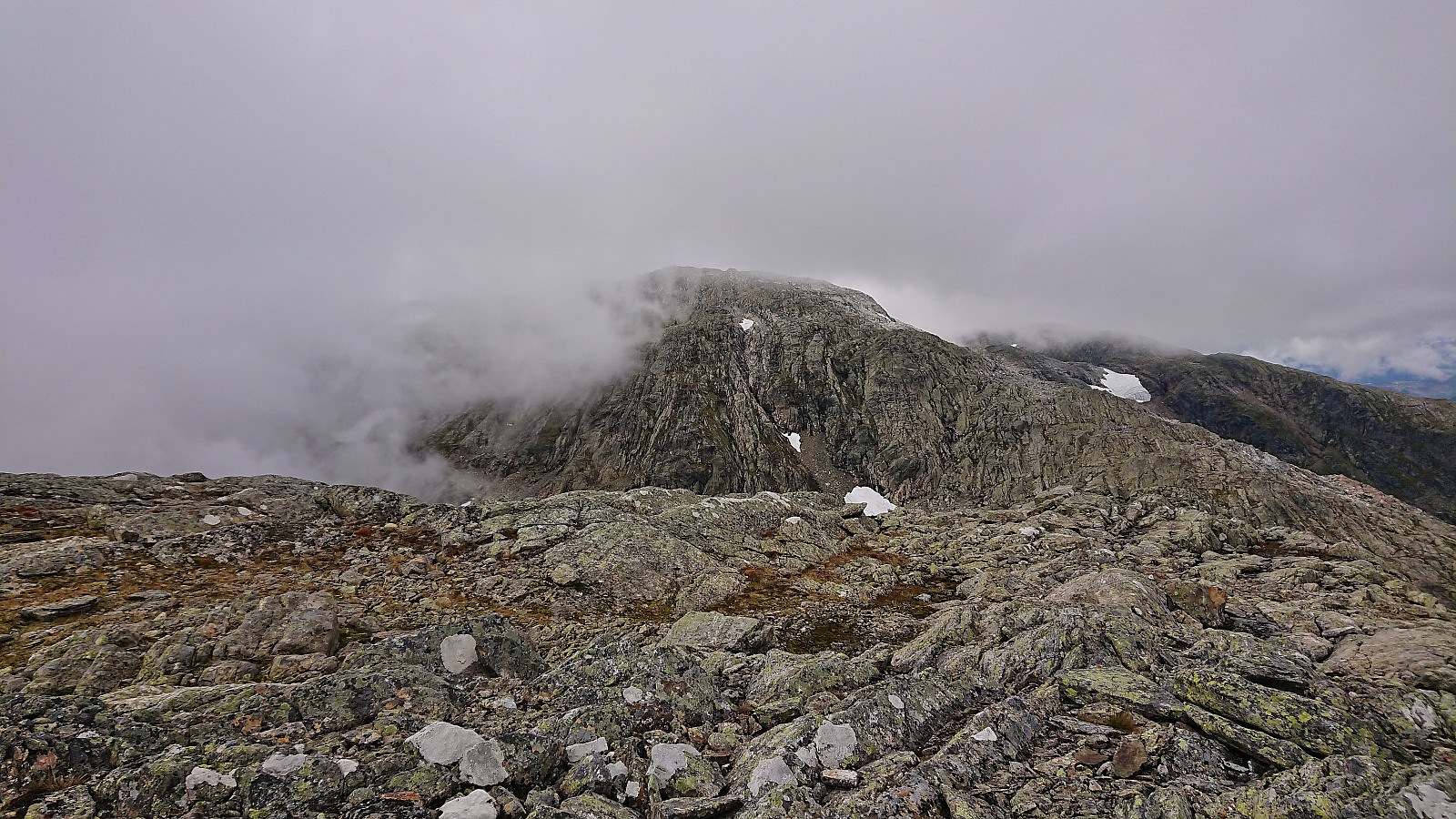
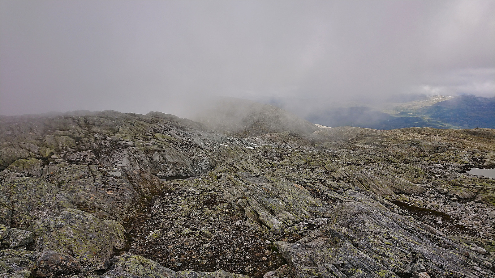
As I was now inside the low-hanging clouds the views were sadly very limited and without a GPS it would have been rather difficult to know which direction to head next. There were some red trail markers but as far as I could tell these seemed to mark a route south along the ridge in the direction of Sauanuten. At least I did not spot any more red markers for the rest of the hike.
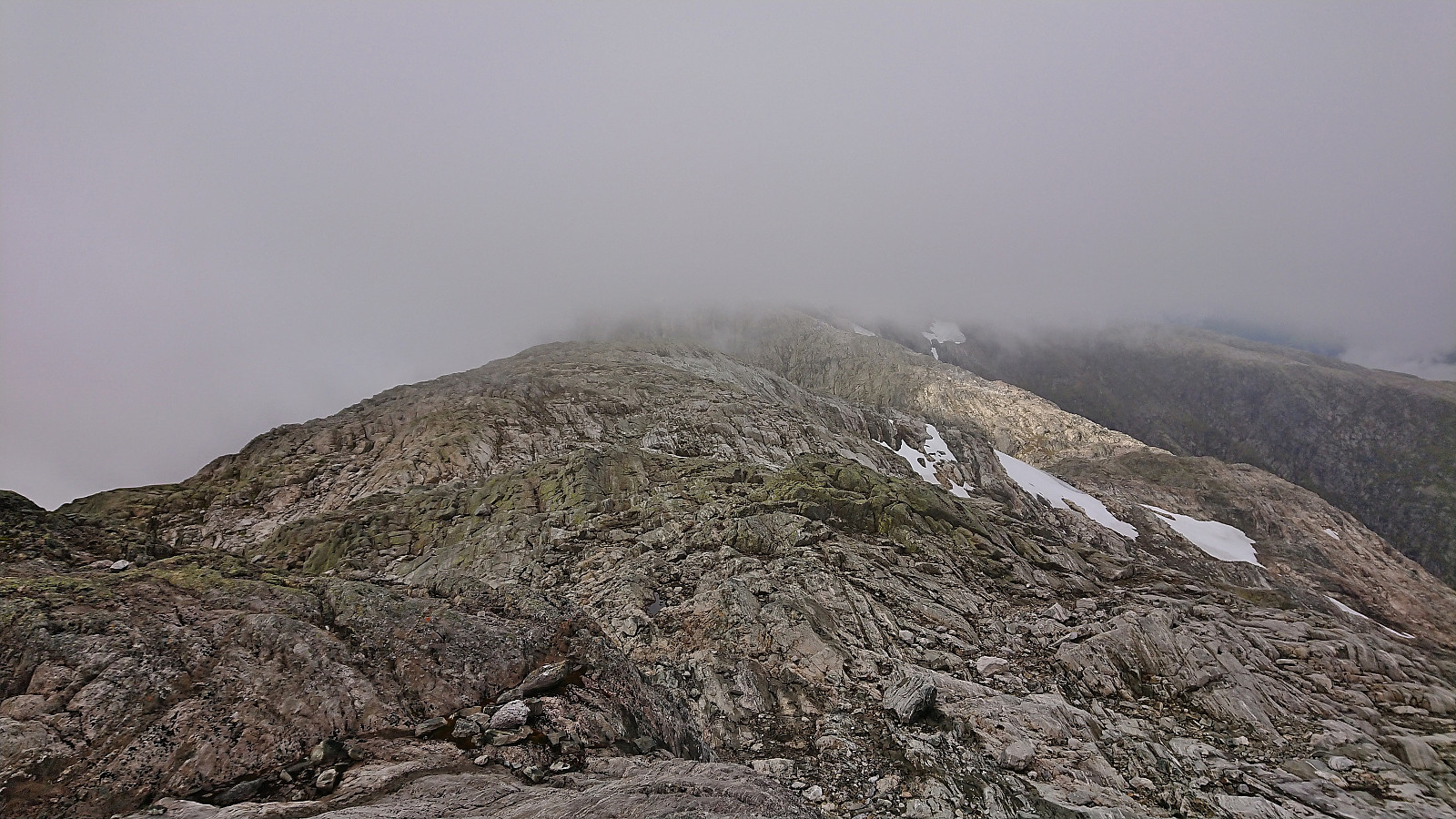
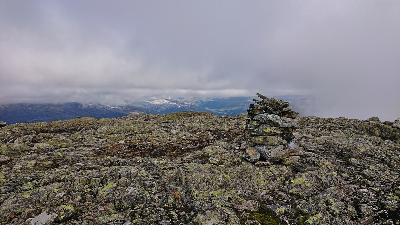
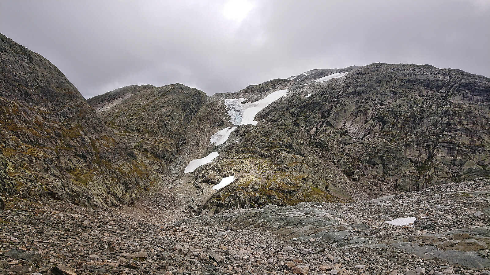
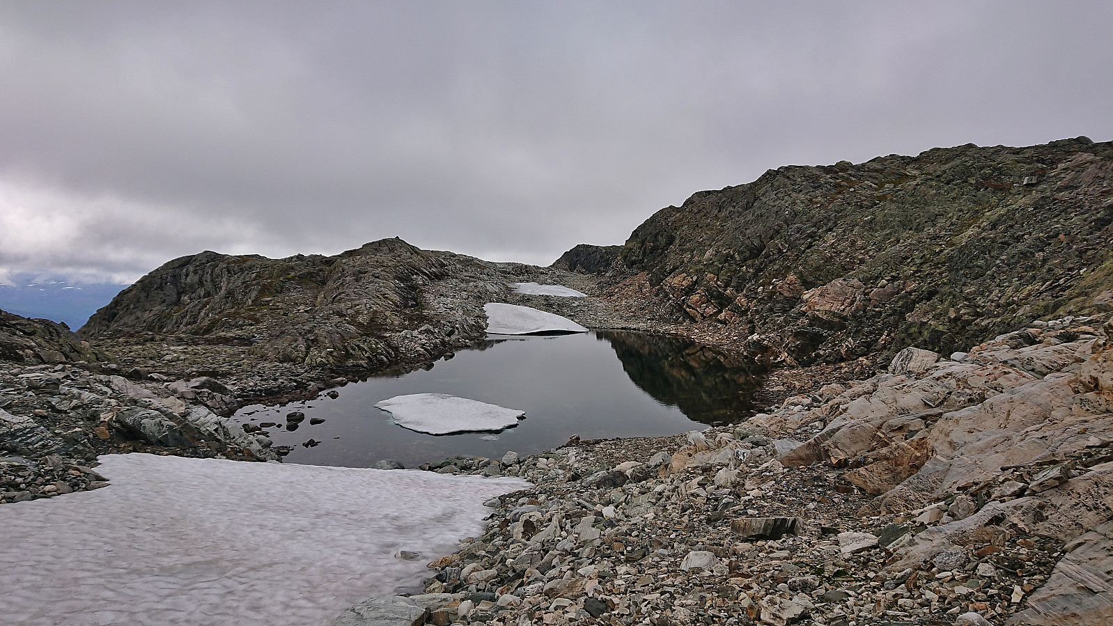
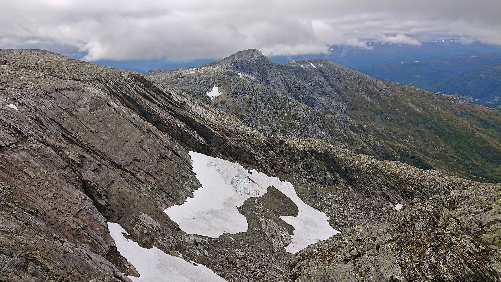
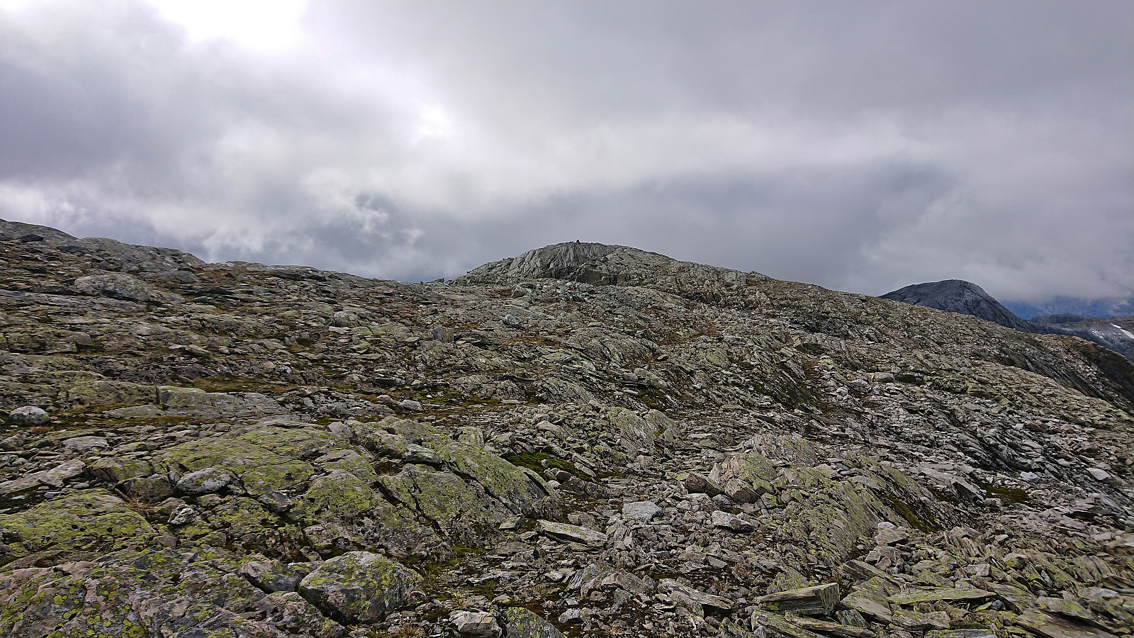
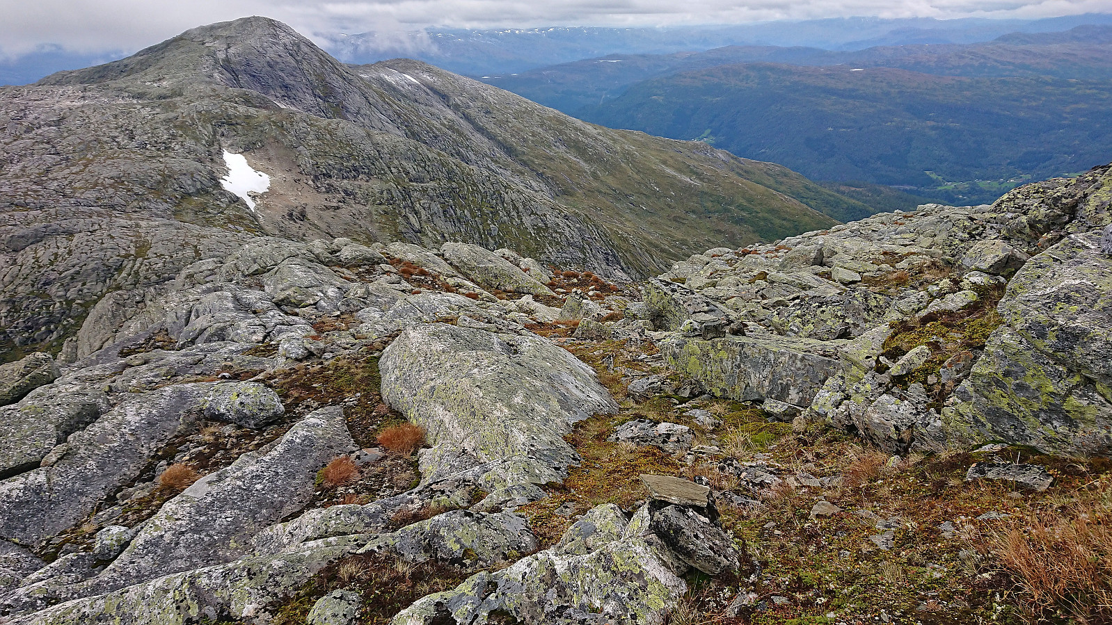
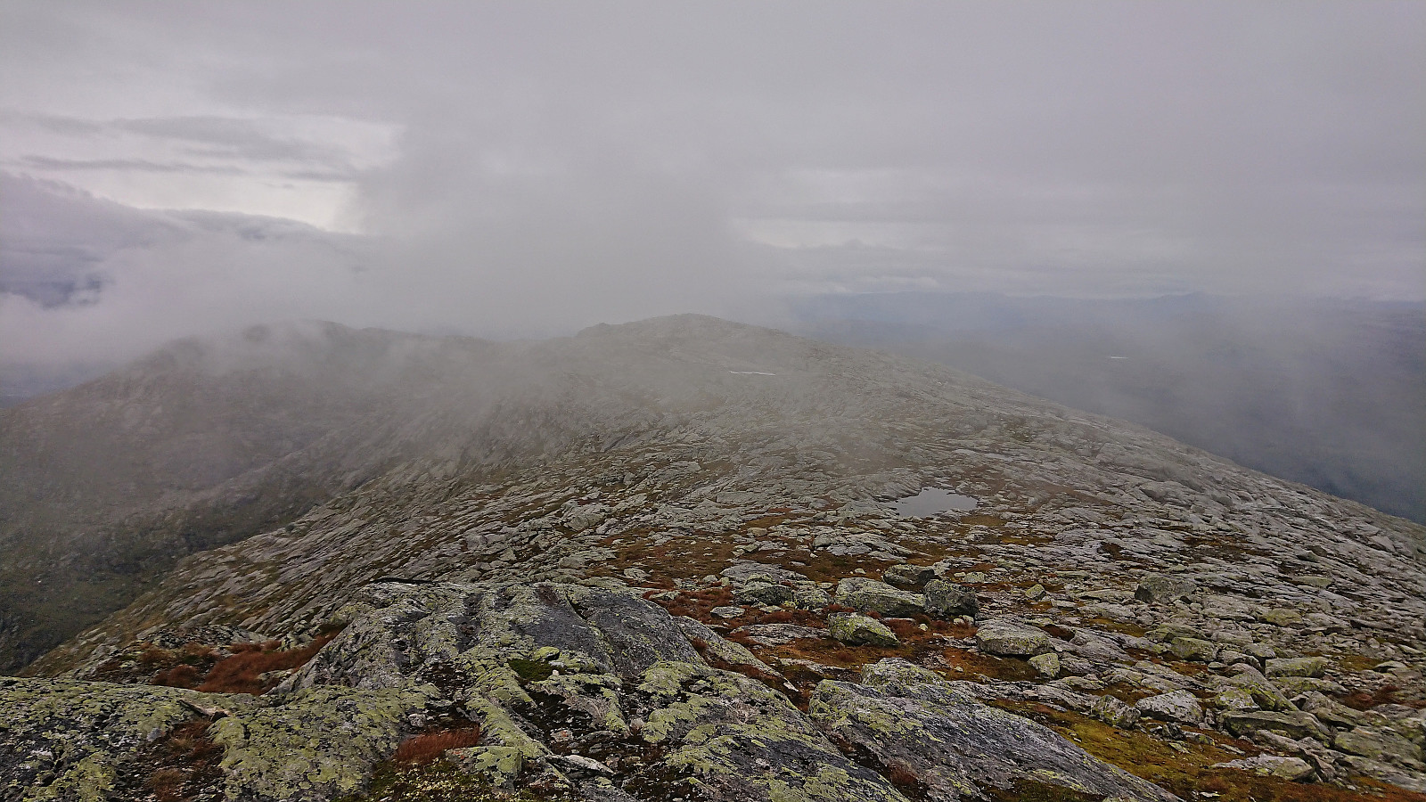
From Olsskavlen I descended northwest along the ridge towards Rasteklov. Besides some packed snow that had to be crossed with care and some relatively easy pathfinding this was overall straightforward, and the low-hanging clouds even lifted a bit so that I could soon spot Seldalsnuten to the west. The following ascent to the summit cairn at Seldalsnuten also did not provide any real challenges, but again the summit views were rather limited.
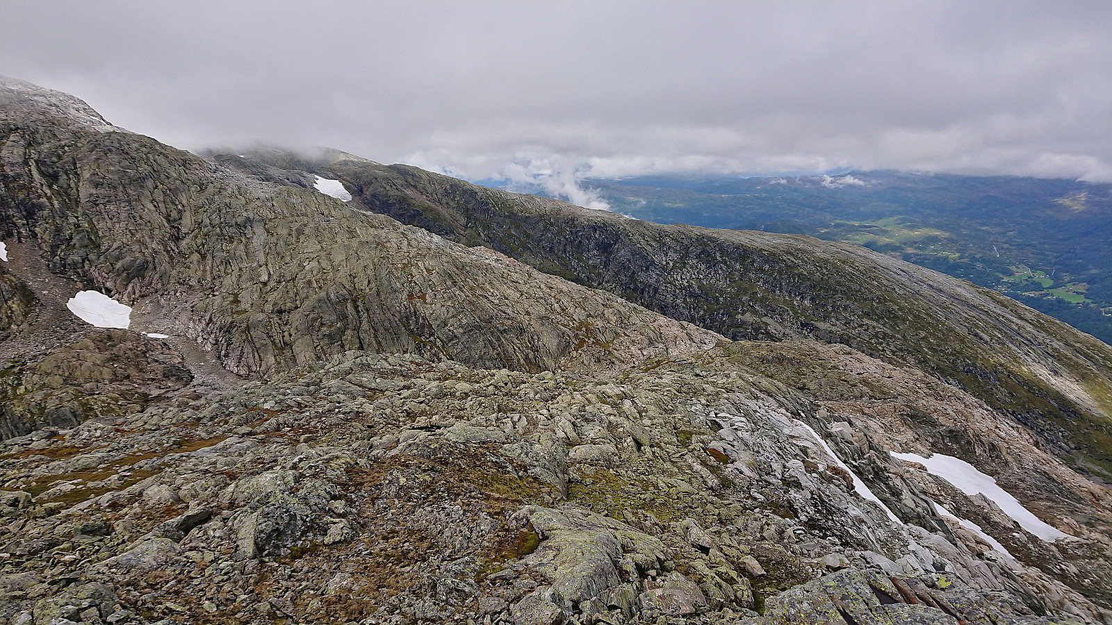
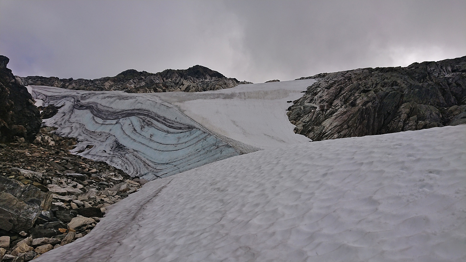
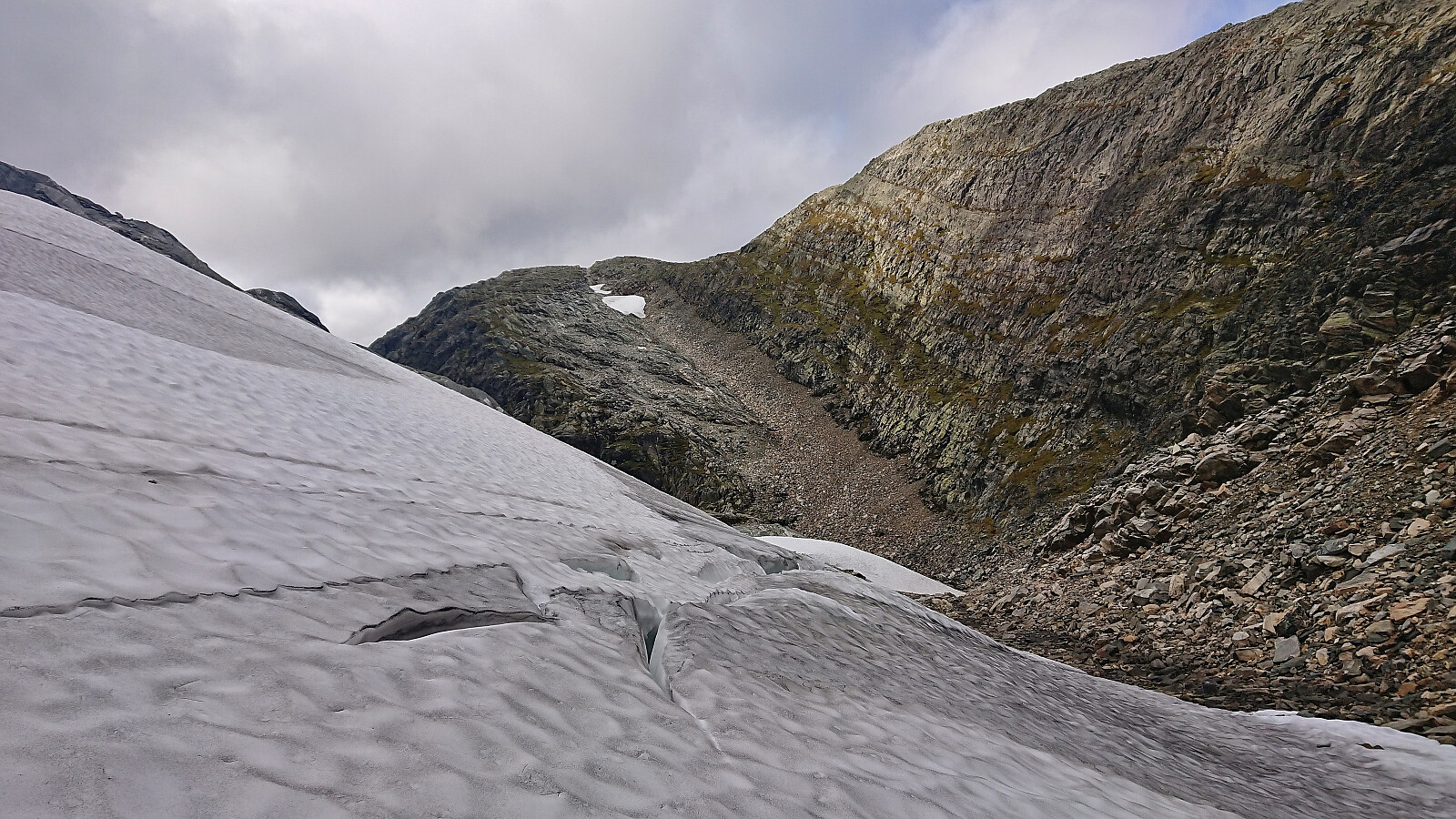
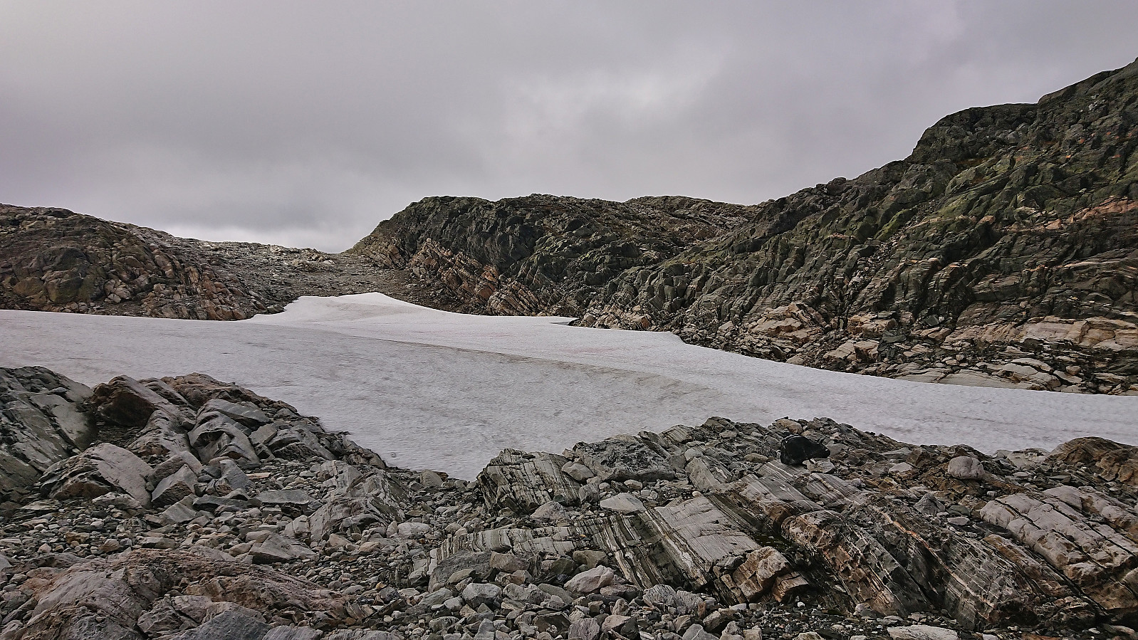
I continued northwest in the direction of Fribottseggi Øst. At the beginning this was straightforward, however the final steep descent into the valley south of Fribottseggi Øst was packed with snow and presented the most difficult challenge of the day. My solution was to mostly avoid the snow and instead do a relatively easy scramble just to the east. When I finally had to step onto the snow, as the scramble alternative turned too steep, I was therefore almost at the bottom of the valley and without the risk of a long uncontrolled slide.
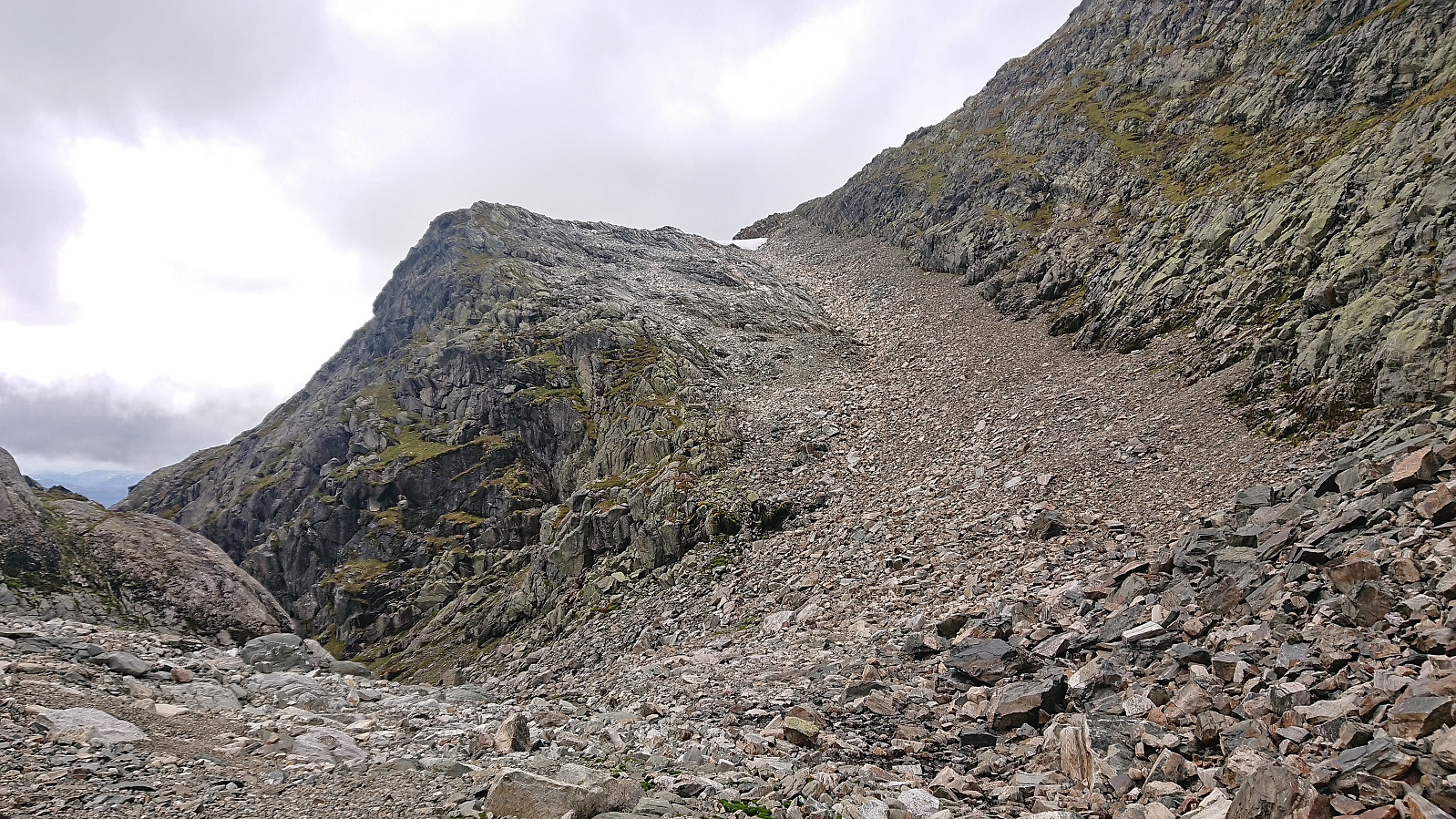
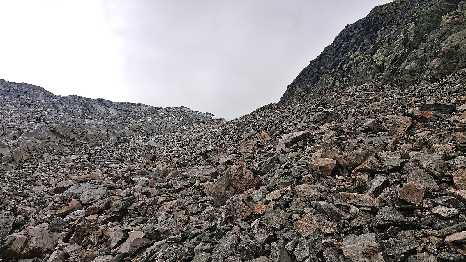
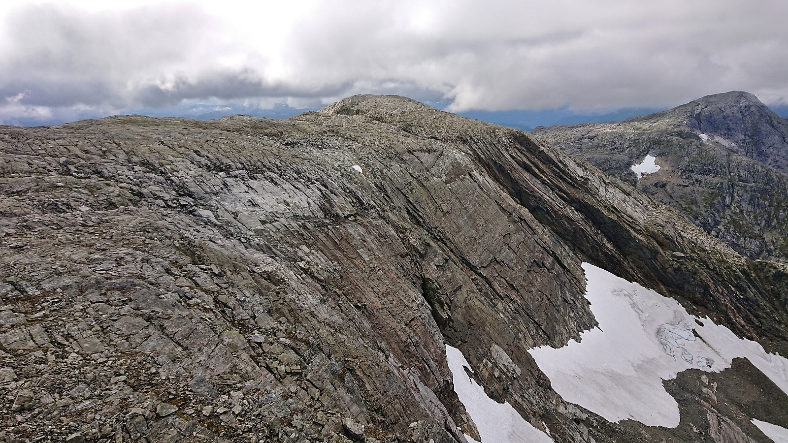
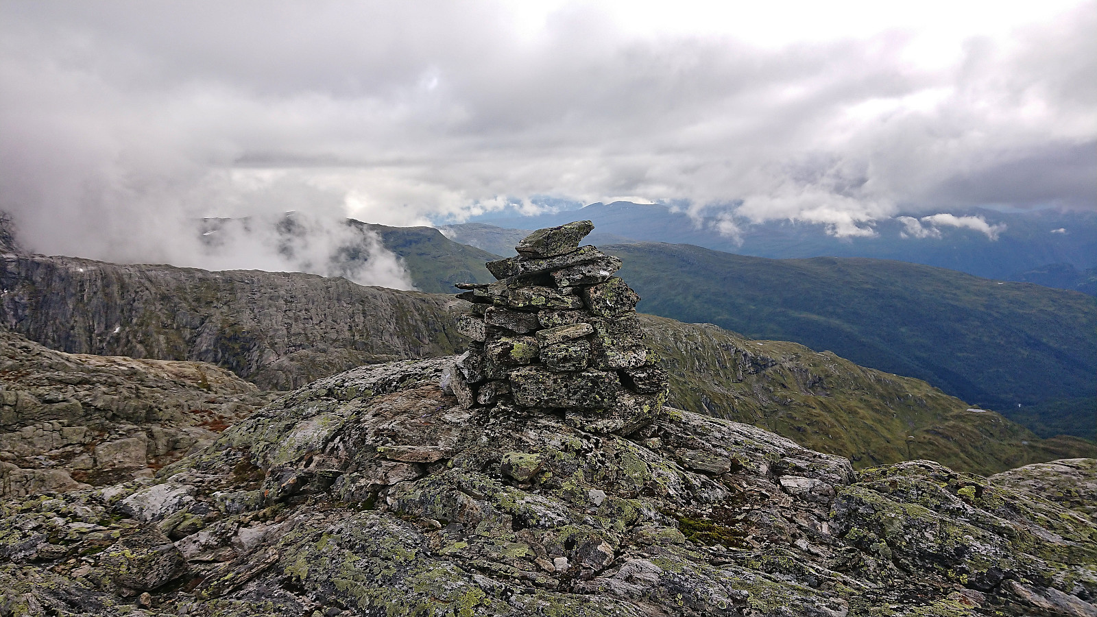
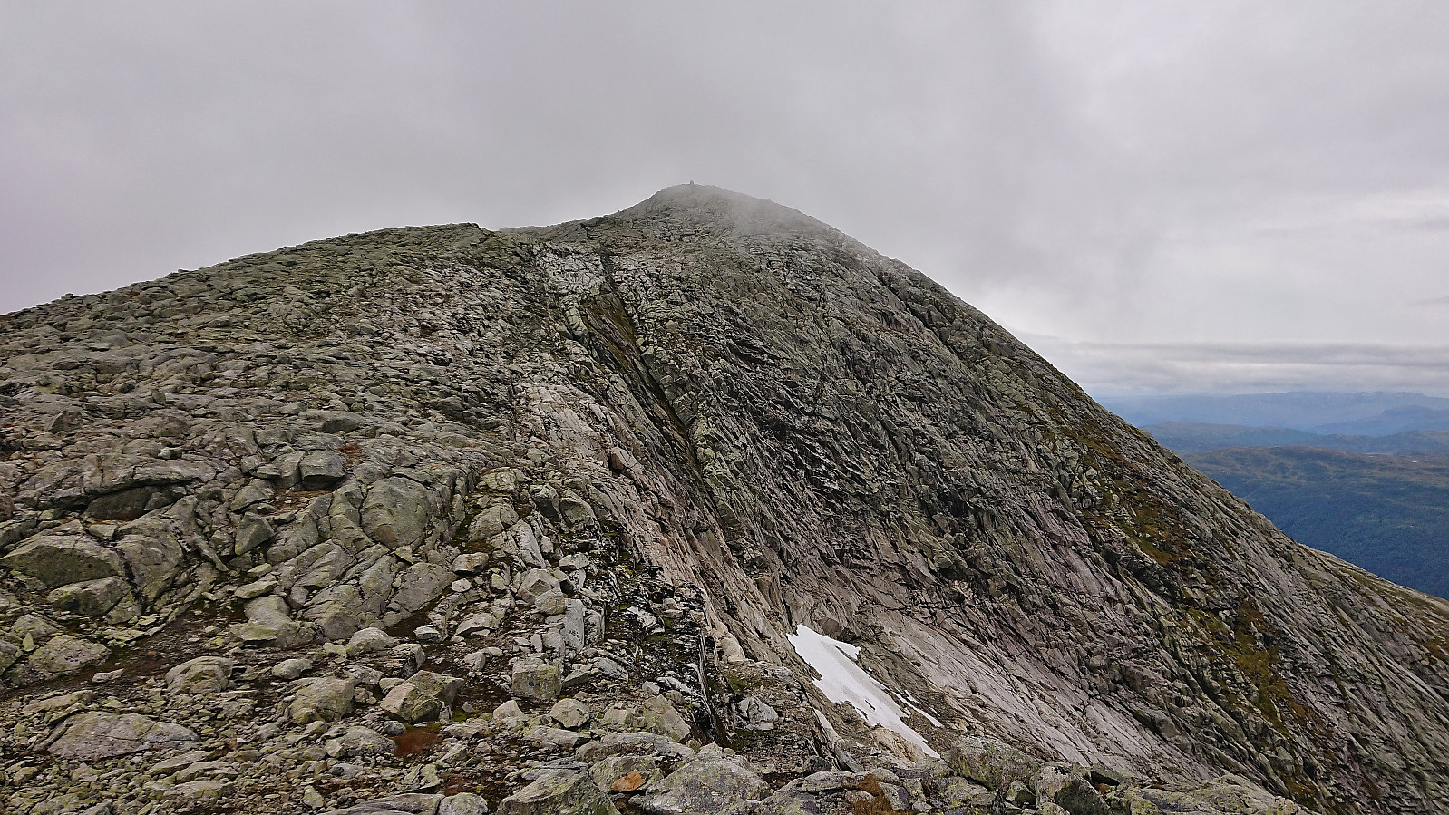
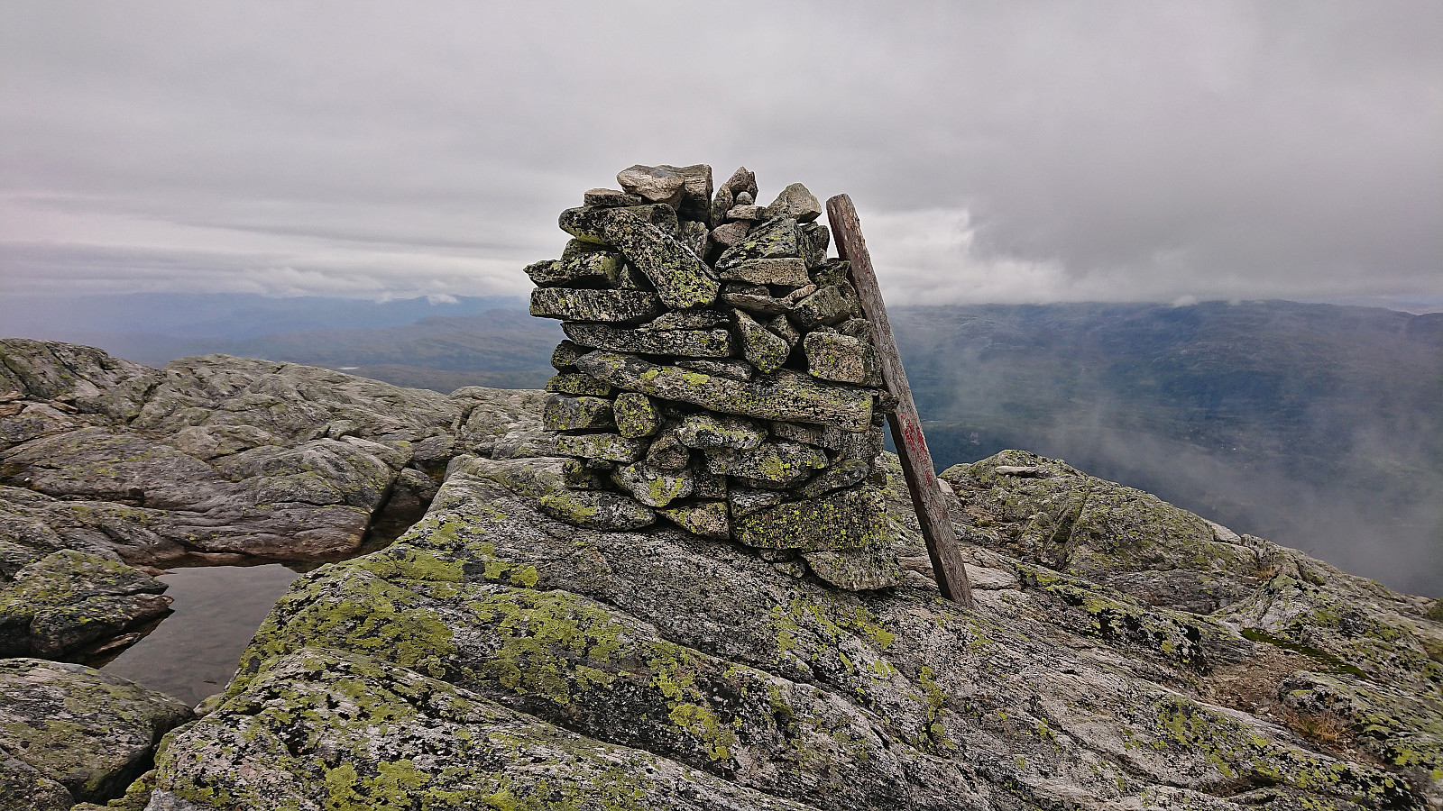
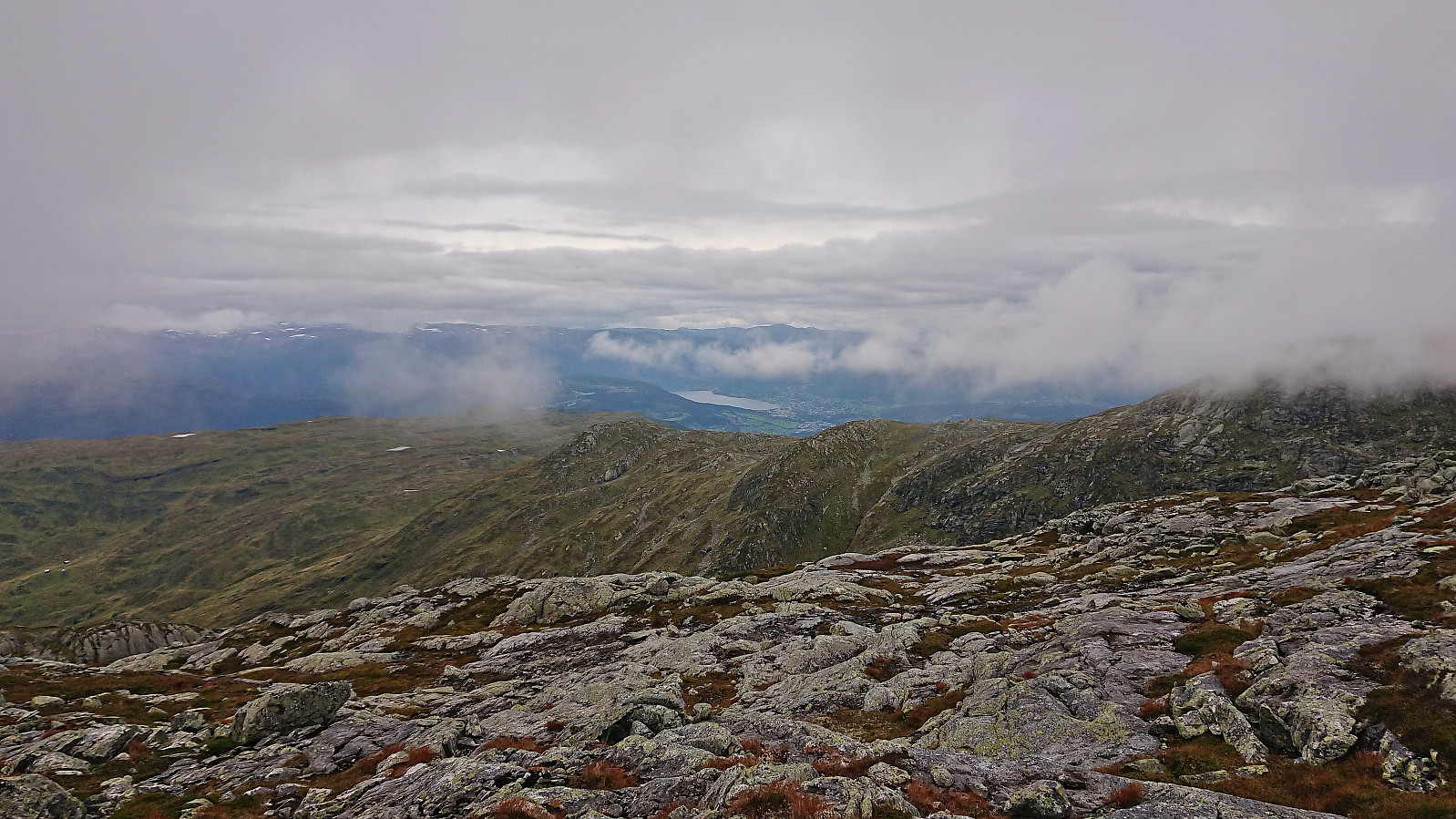
The following ascent along the scree east of Fribottseggi Øst was straightforward and I was soon on my way towards the highest point at Fribottseggi. The summit was ascended via a small stream to the east and on the way to the highest point I also made sure to visit a (slightly lower) hill to the north where there was a small cairn. No visible markers at the summit itself but excellent views.
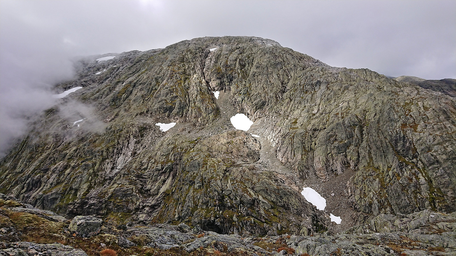
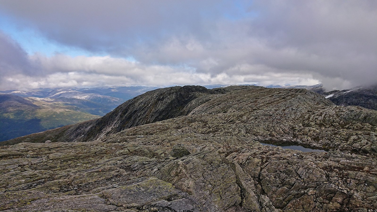
I descended more directly south and then followed the wide ridge to Skipadalsnuten. Here I met some locals and made sure to get their advice on the later descent route into Raundalen before starting the steepest descent of the day towards the northeast. This section had looked quite steep on the map, and could potentially have been challenging with lots of pathfinding, but thankfully there were lots of small cairns showing the way.
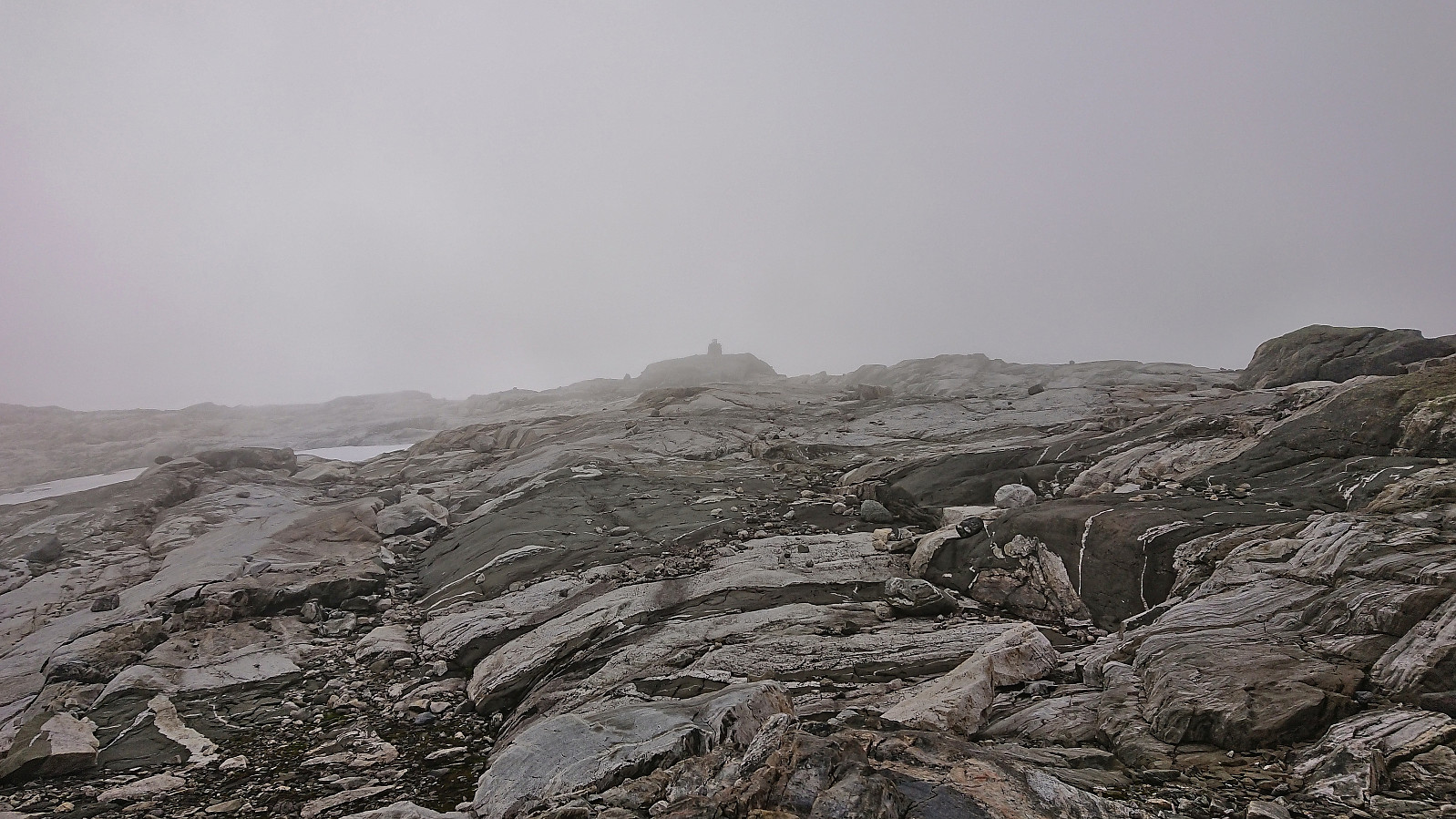
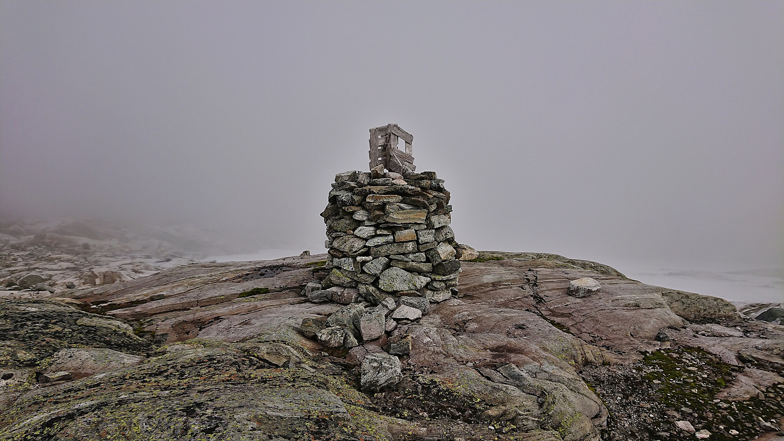
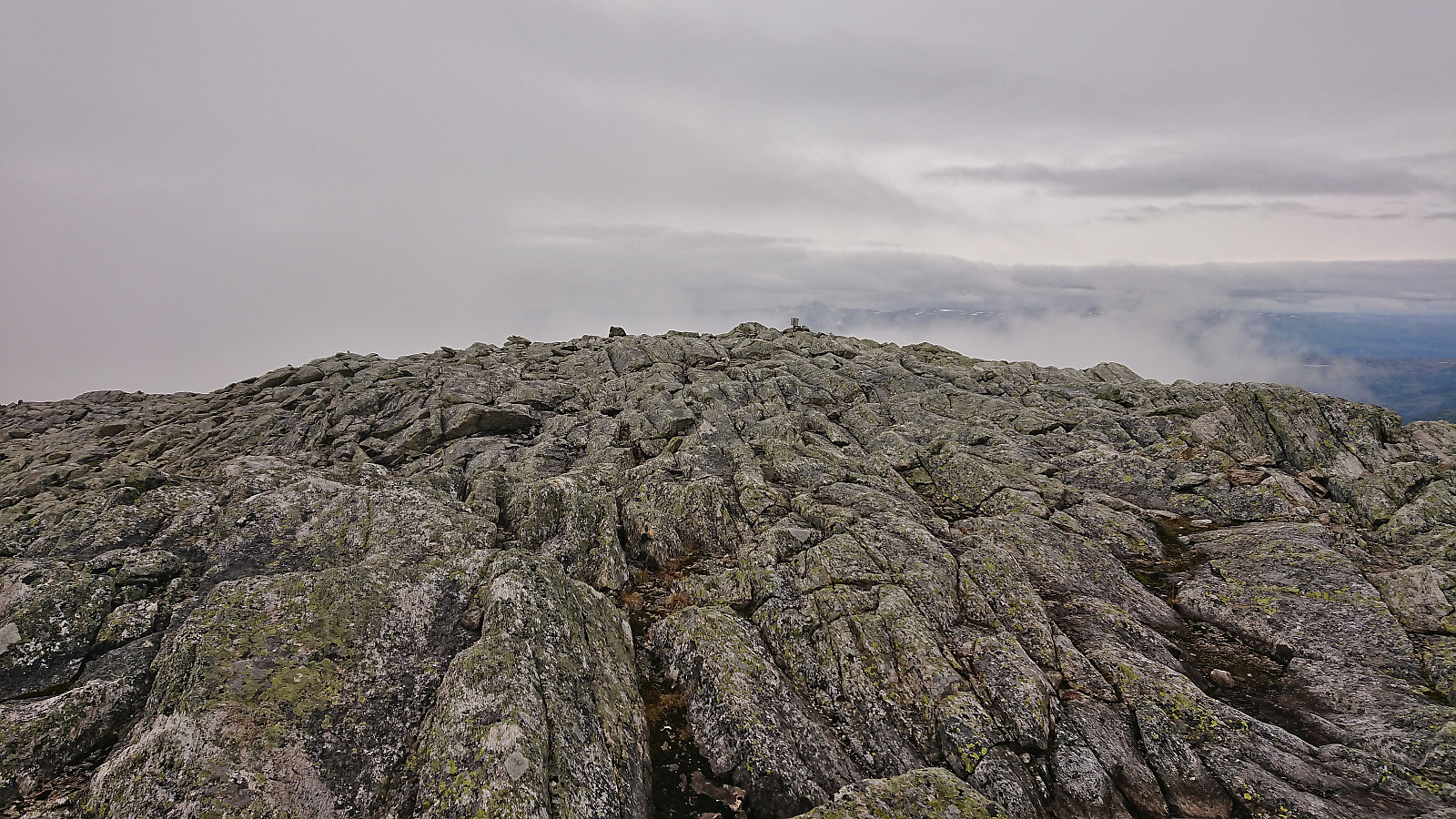
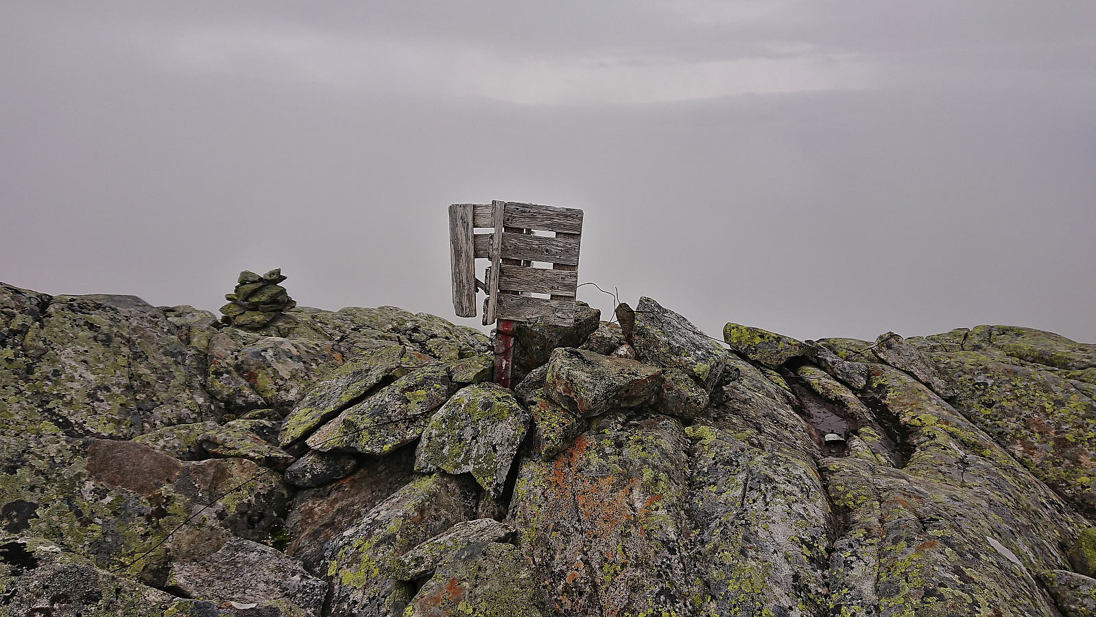
The small cairns may lead all the way to Horndalsnuten, but I lost them shortly after completing the descent and was left finding my own way. This was however straightforward and I had no issues ascending to the cairn that had been visible in the distance for a long time already. This cairn was however most likely not the highest point though, which seems to be slightly further west on the relatively flat summit plateau.
Given the poor visibility I did not stay long before starting my descent northwest along the ridge. Here there were some small cairns to follow, although with better visibility these are probably not really needed. As I was descending along the ridge I came across a stoat with what appeared to be a small mouse in its teeth. It ran away quickly but not before I managed to take its picture.
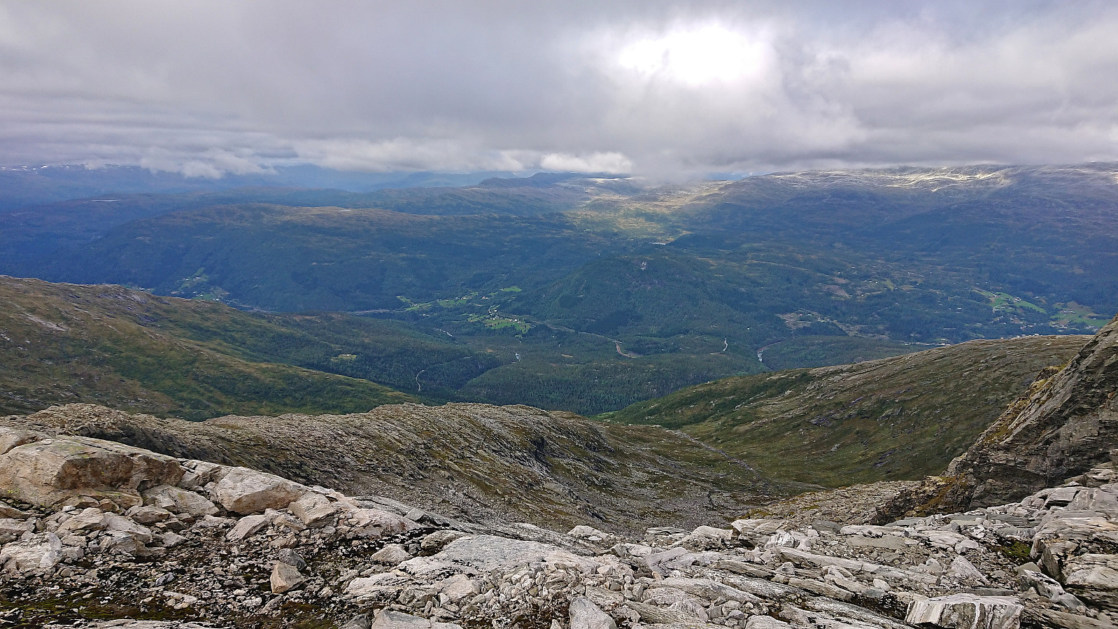
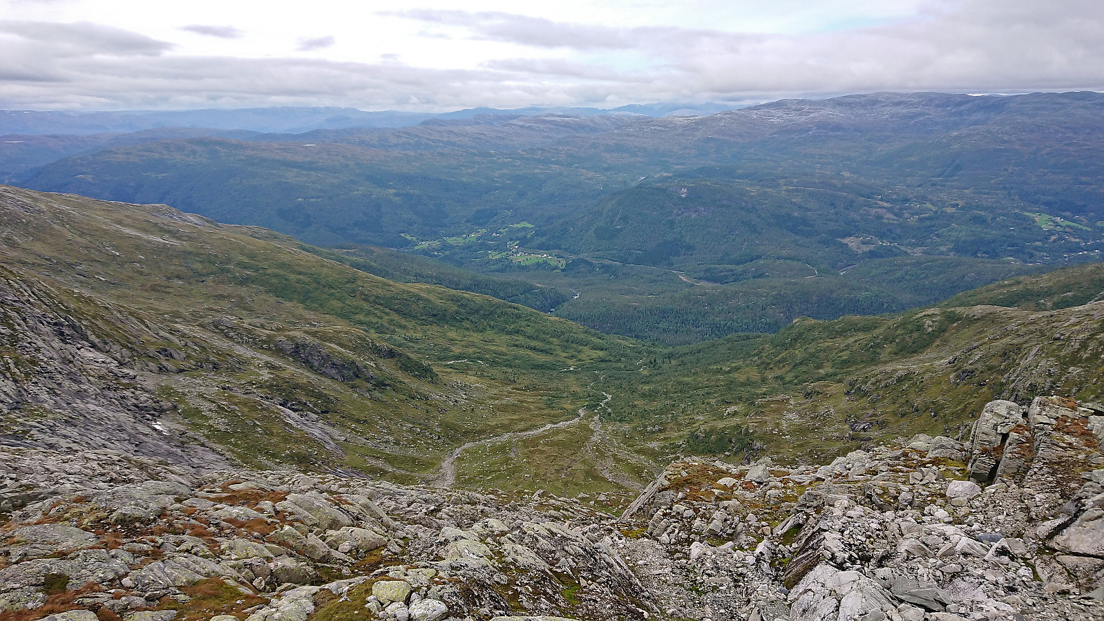
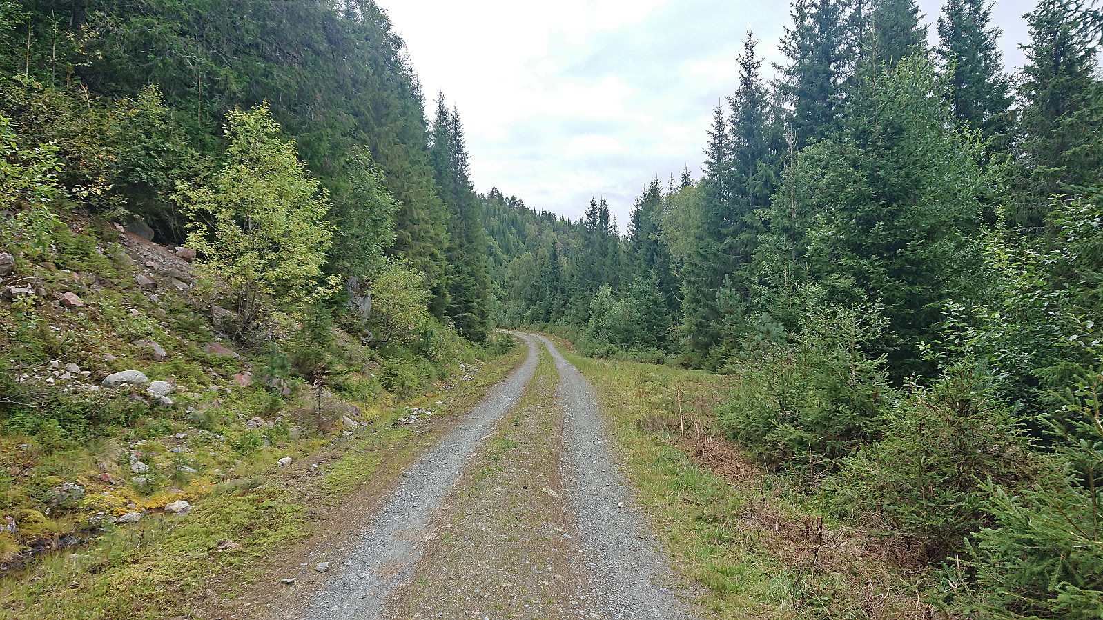
Based on the advice from the locals I talked to at Skipadalsnuten, I decided to descend into Horndalen as this would quickly take me to a trail and later gravel road that I could follow all the way to the train station. (The other alternative I had considered was continuing towards Vatnaknausen and from there descend off-trail to Liaset. But this would potentially result in similar struggles with the terrain as for the earlier ascent from Mysedalen.) This turned out to be a good choice and after some initial pathfinding the rest of the descent was straightforward and I soon connected with the trail and later gravel road. As a result, it did not take long before I was back at Raundalselvi which I proceeded to cross on a wooden bridge.
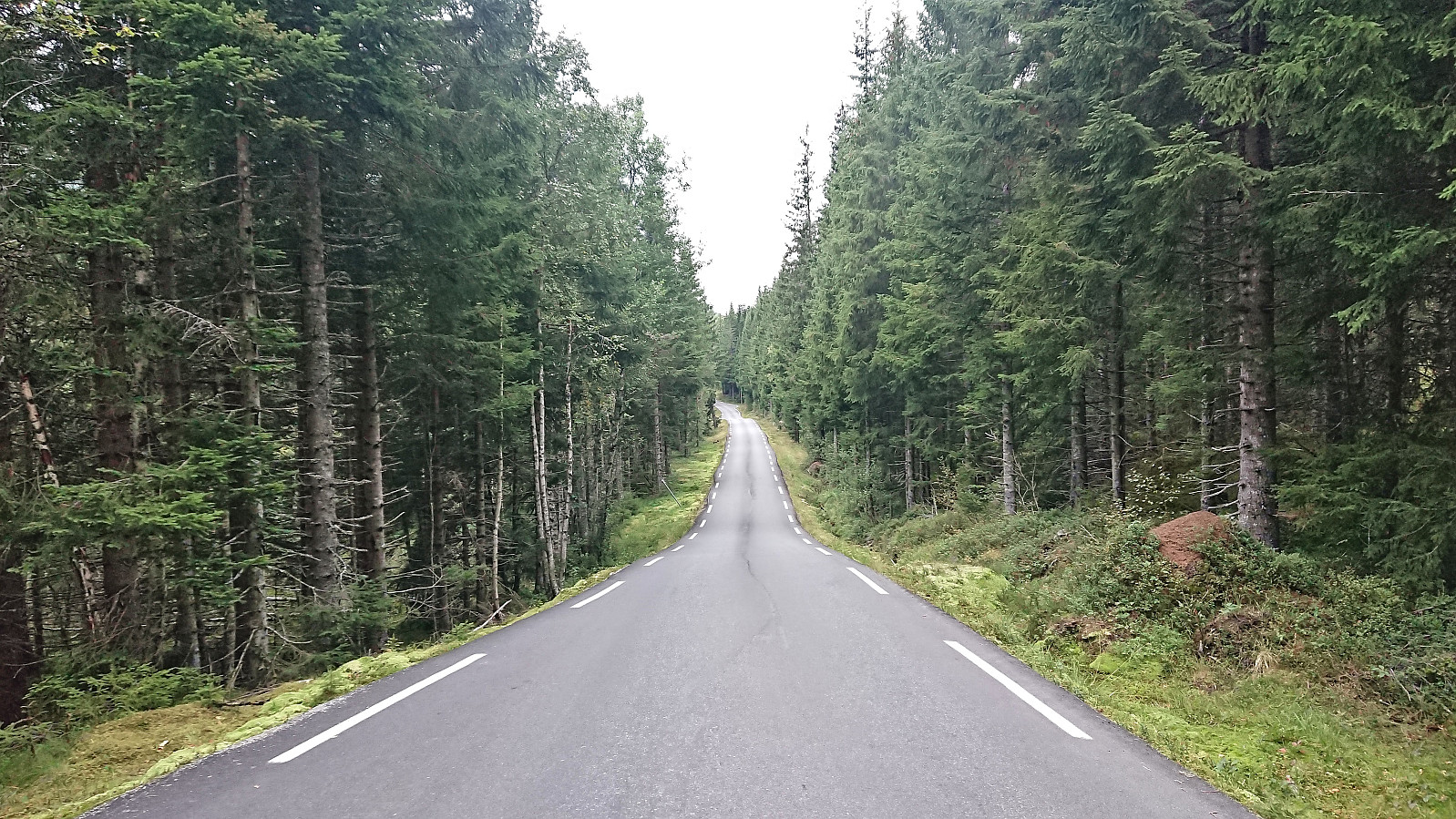
I now had two choices with regards to train stations: Skiple and Øyeflaten. While the latter was almost 2 km extra, I decided to go for it anyway as I had the time and had already visited the train station at Skiple as part of a skiing trip earlier this year. After a short walk along the main road I therefore arrived at the tiny Øyeflaten train station and only had to wait around 15 minutes for the train back to Bergen.
In summary, this hike across Raundalsryggen can be highly recommended. It should however be noted that it is probably more of an advanced hike, especially in low-visibility conditions as it requires a fair amount of pathfinding with little to no trail markers to show the way. Note also that if taking the train from Skiple instead of Øyeflaten the hike will be reduced by more than 2 km. Finally, instead of the walk along the often weak trail on the southside of Raundalselvi it is of course also possible to walk along the main road from Reimegrend to east of Volla and start the real hike from there.
| Start date | 02.09.2023 08:52 (UTC+01:00 DST) |
| End date | 02.09.2023 19:06 (UTC+01:00 DST) |
| Total Time | 10h 14min |
| Moving Time | 9h 35min |
| Stopped Time | 0h 39min |
| Overall Average | 3.0km/h |
| Moving Average | 3.2km/h |
| Distance | 30.4km |
| Vertical meters | 1,975m |


User comments
What a hike?!! Wow!
Written by HHauser 10.09.2023 16:38Thanks for sharing this trip report and all the many photos!
>30km -- you're wild! :-) I usually get tired when hiking up to 20km in one go... (especially with lots of off-trail sections!)
But connecting all these tops -- how nice; I'd be tempted to follow your track! :-)
Maybe you should have had even better weather -- good, at least, that you had some views, also!
The stoat, however, was difficult to see -- even in full screen mode! :-)
All in all: many thanks, again, for sharing!
Re: What a hike?!! Wow!
Written by hbar 10.09.2023 20:16Thanks, Helwig! :)
And yes, definitely a hike that deserved better weather, which was what the forecast had promised...