
Lyderhorn from Loddefjord (11.09.2022)

Written by HHauser (Helwig Hauser)

| Start point | Lyderhornsveien (20m) |
|---|---|
| Endpoint | Lyderhornsveien (20m) |
| Characteristic | Hike |
| Duration | 1h 30min |
| Distance | 4.2km |
| Vertical meters | 464m |
| GPS |
|
| Ascents | Lyderhorn (396m) | 11.09.2022 |
|---|---|---|
| Visits of other PBEs | Lyderhornhytten (lokalitet) (396m) | 11.09.2022 |
| Små-Lyderhorn (273m) | 11.09.2022 |

Trip Summary
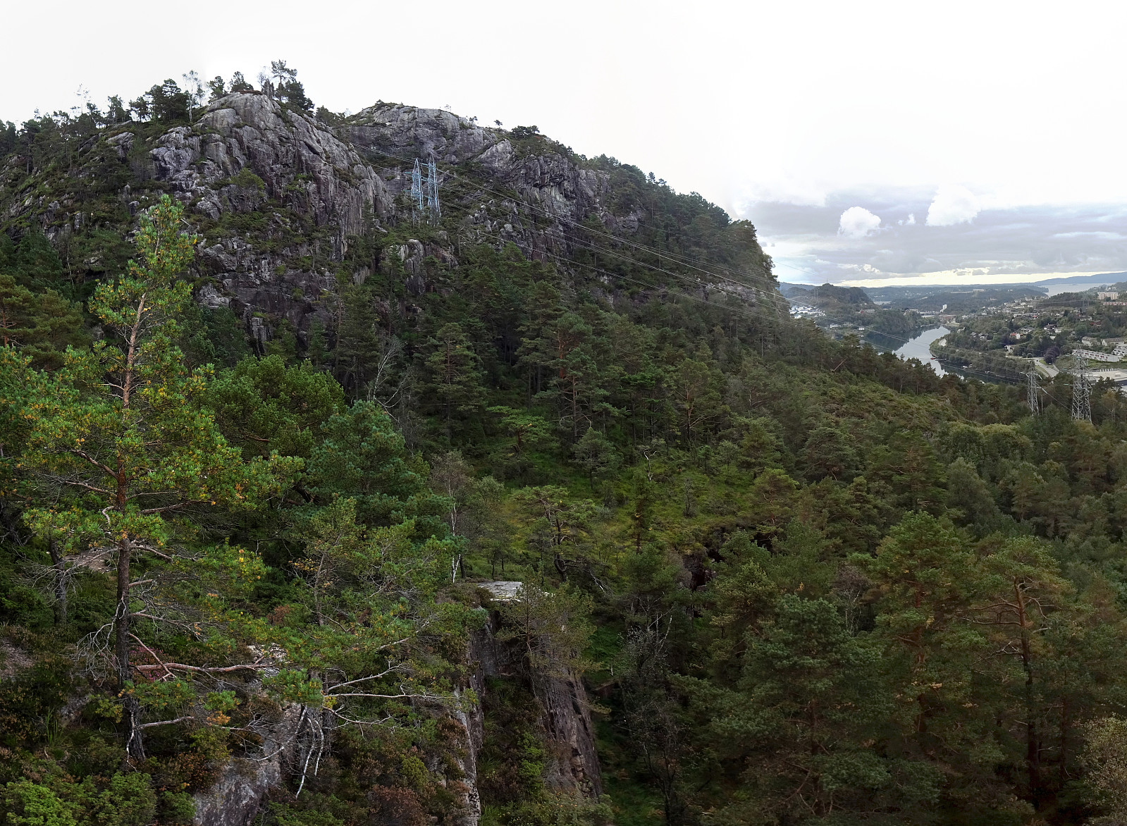
With only limited time available, we decided to "just" make a short hike to Lyderhorn, exploring a new "corner" of this rather well-known mountain. We started biking to Loddefjord. We then continued up a side road of Lyderhornsveien, which services the power facility a few meters above Loddefjord, right below Skarpafjellet. From there, we first followed the trail that leads up to Grøvledalen, but decided to follow a slightly different route up, first. Soon later, we reconnected with the trail between Skarpafjellet and Lyderhorn. From there, it was then basically up and down Lyderhorn, mostly following trails. On the way back, we then descended towards Loddefjord through Grøvledalen. Nice to explore new routes, even on an often visited mountain like Lyderhorn! :-)
Photos
Selected photos are available as Google photo album.
Useful Resources
See also the related FB-page Hiking around Bergen, Norway.
Petter Bjørstad has a useful page about Lyderhorn and also web page WestCoastPeaks.com provides useful information about Lyderhorn and Ørnafjellet.
Web page UT.no from the Norwegian Trekking Association recommends a hike via Skarpafjellet.


User comments