
Austrefjellet and Ådneburen from Meisdalen (05.06.2022)

Written by hbar (Harald Barsnes)

| Start point | Meisdalen p-plass (250m) |
|---|---|
| Endpoint | Meisdalen p-plass (250m) |
| Characteristic | Hillwalk |
| Duration | 7h 21min |
| Distance | 17.1km |
| Vertical meters | 1,069m |
| GPS |
|
| Ascents | Austrefjellet (765m) | 05.06.2022 |
|---|---|---|
| Ådneburen (797m) | 05.06.2022 | |
| Visits of other PBEs | Meisdalen p-plass (248m) | 05.06.2022 |
| Søredalsvegen/Åsheimvegen (75m) | 05.06.2022 | |
| Varden på Ådneburen (797m) | 05.06.2022 | |
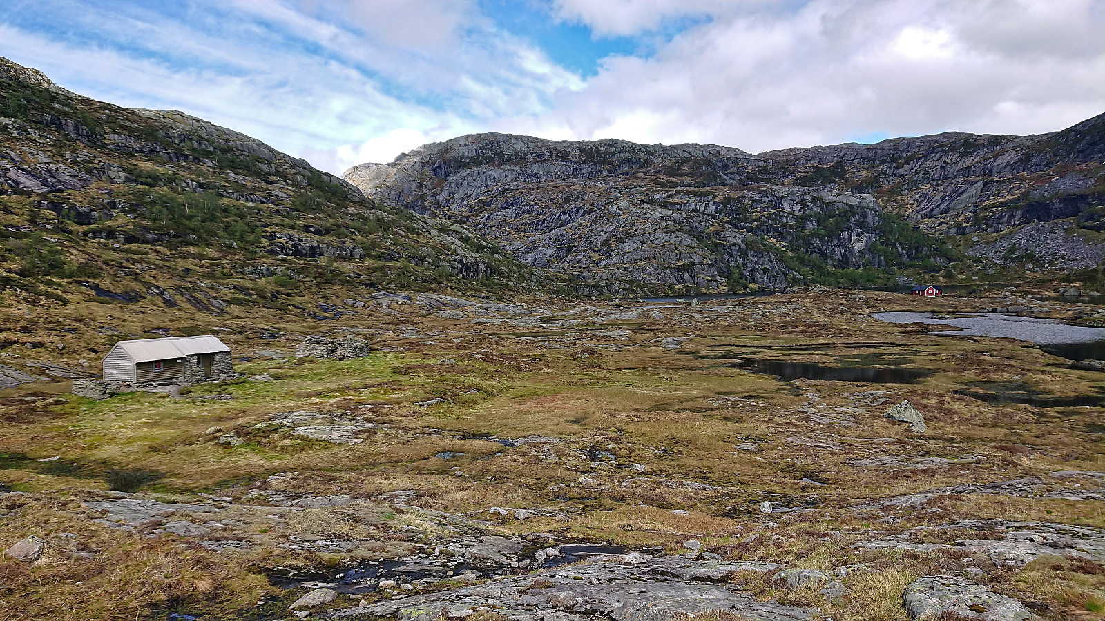
| Ådnekvamssetret (510m) | 05.06.2022 |
Austrefjellet and Ådneburen from Meisdalen
When my colleague yehiamokhtarfarag (Yehia Mokhtar Farag) asked if I wanted to go hiking, I of course said yes and suggested Austrefjellet and Ådneburen in Masfjorden as our targets, partly as both of these are hard to reach by public transportation on my own and because I thought they should provide great views.
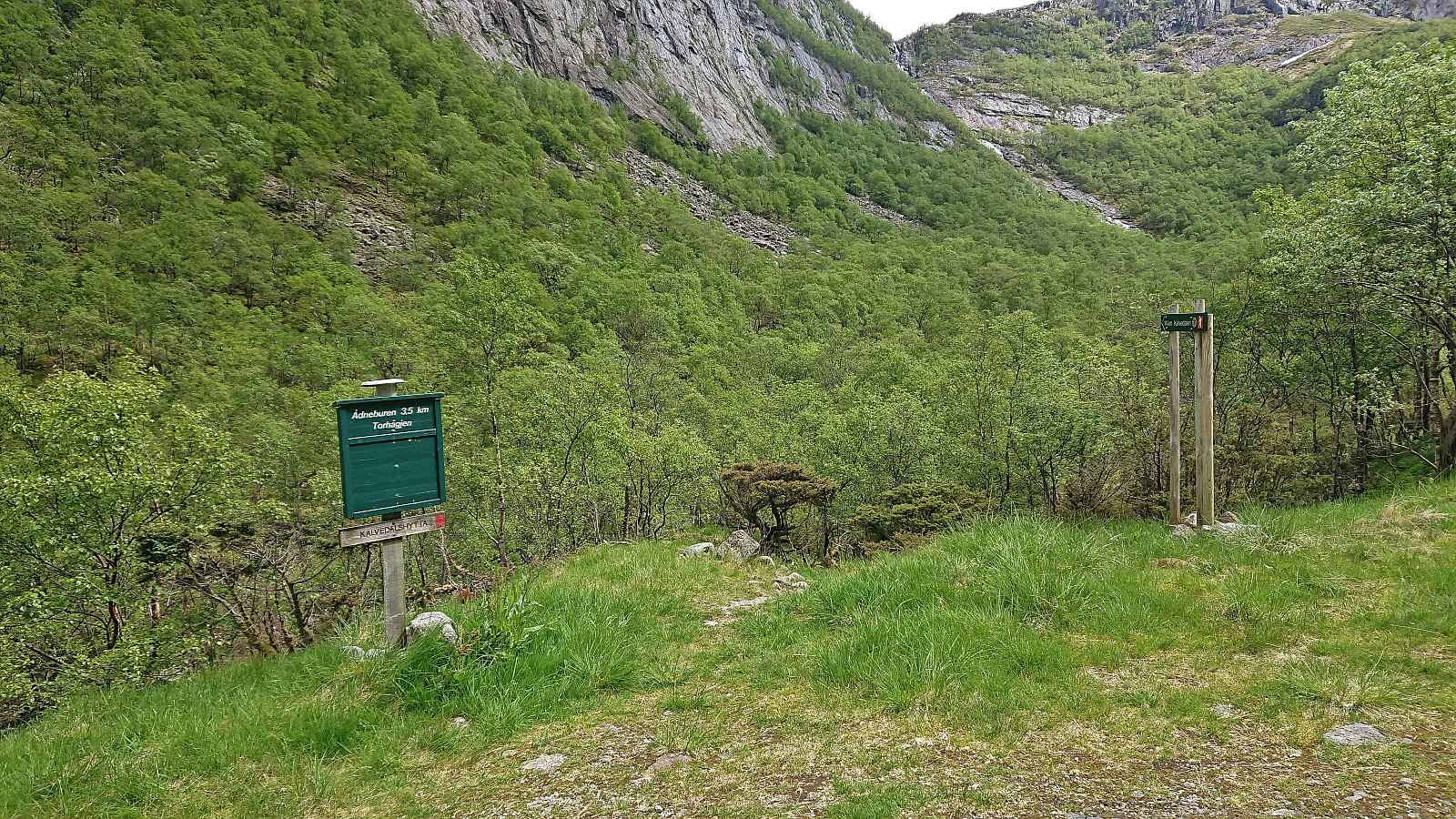
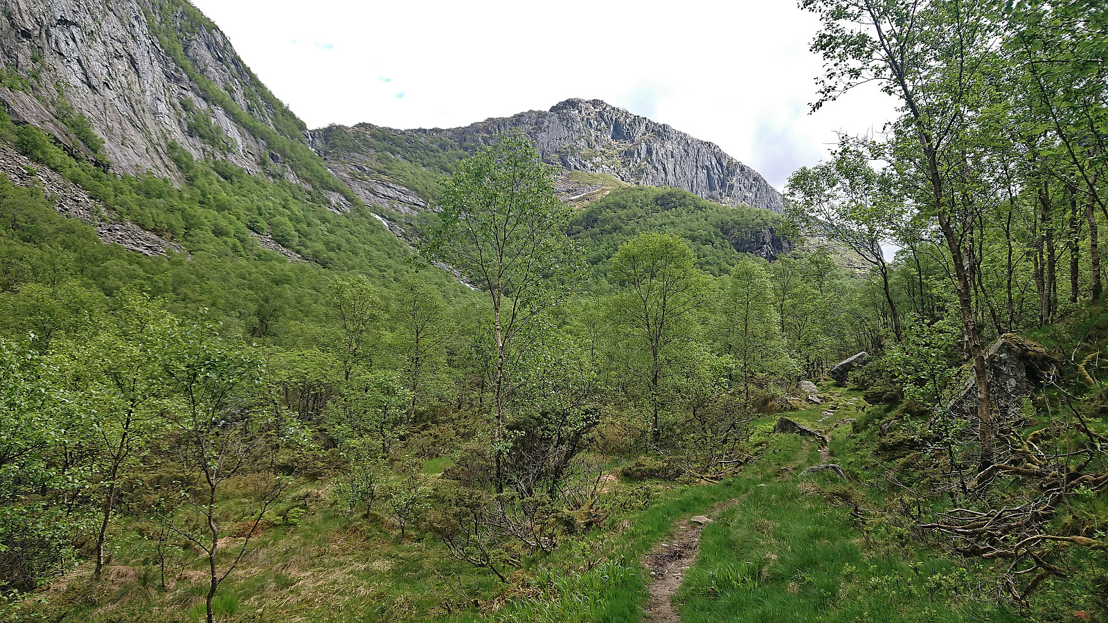
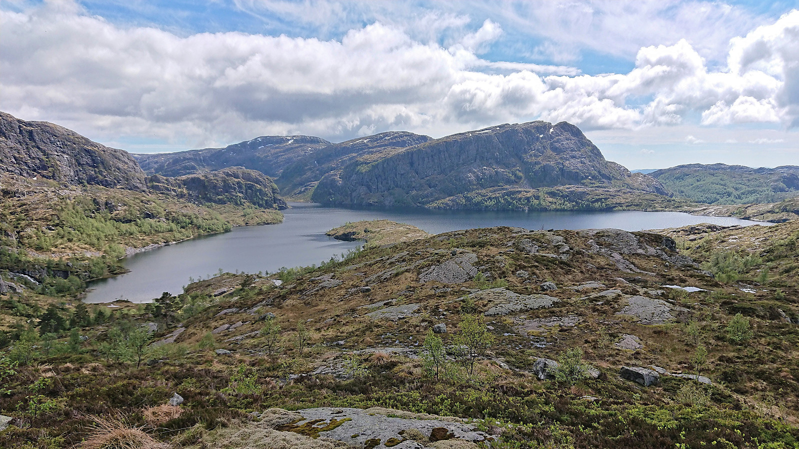
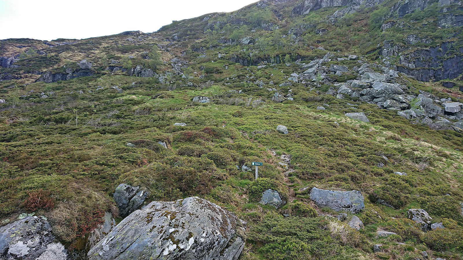
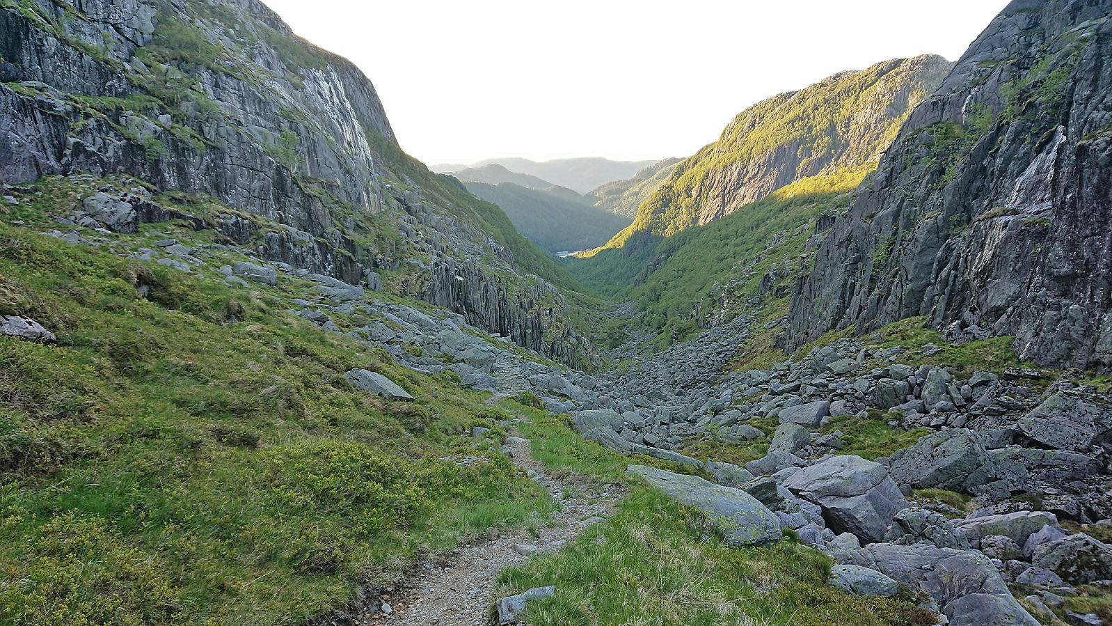
Yehia picked me up at my place a bit after noon and we drove the around 1.5 hours to Andvika. Here we paid the 30 kr toll via Vipps and continued up the gravel road to the parking lot in Meisdalen. Walking up Meisdalen was a very nice start to the hike and we soon arrived at the marked trail for Ådneburen. We however decided to leave this one for later and instead continued southeast, still along a marked trail.
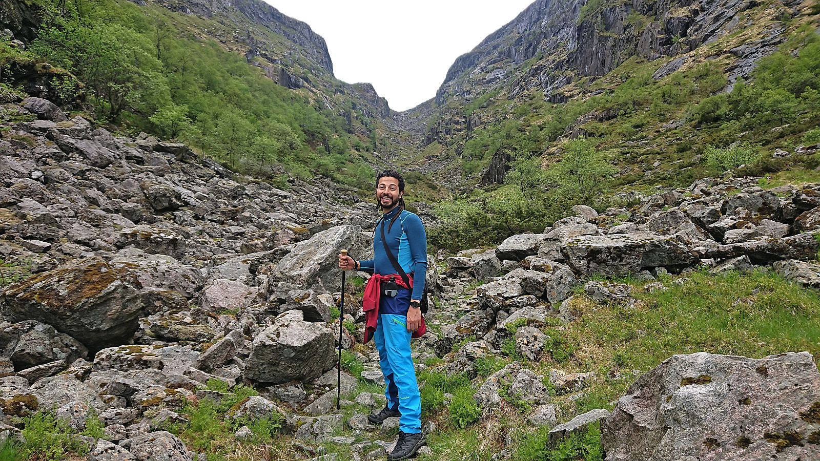
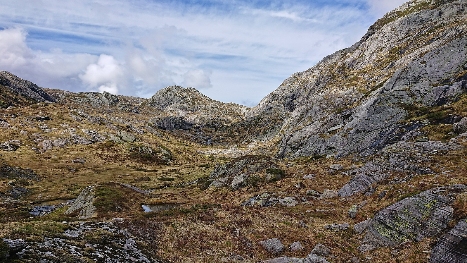
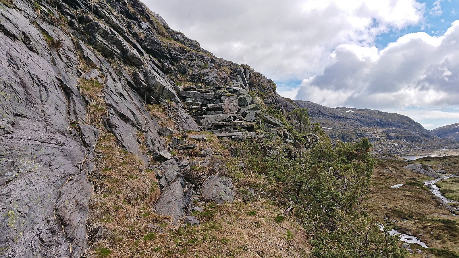
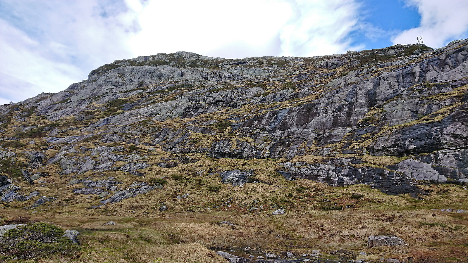
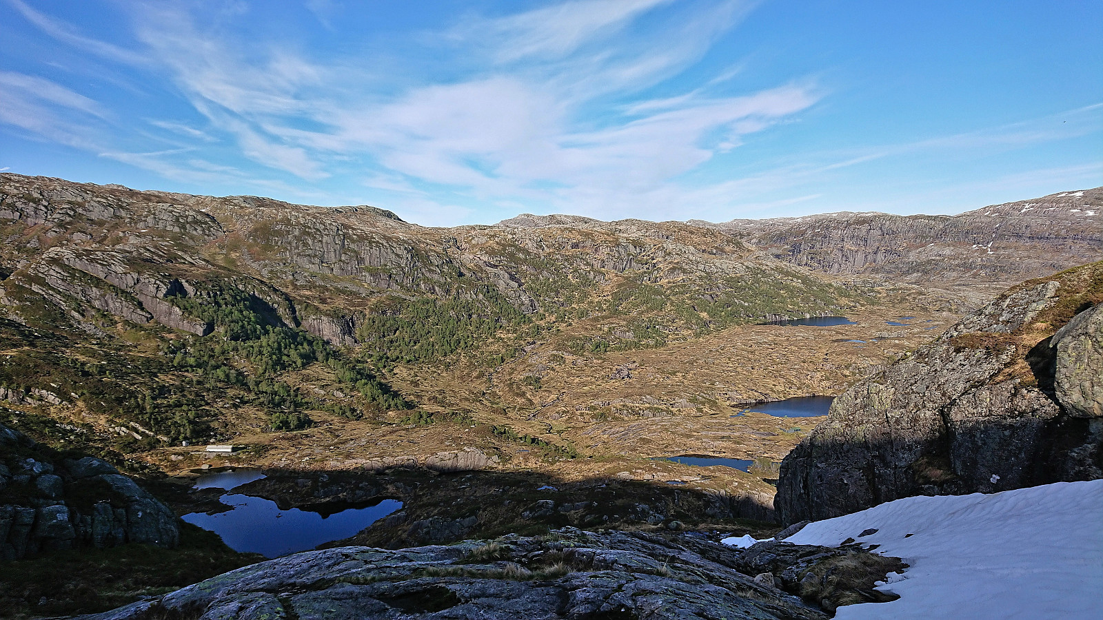
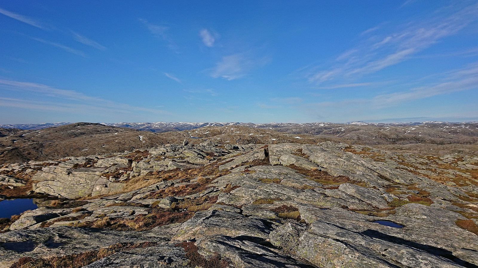
When the trail split west of Ådnekvamssetret, we left the main trail and followed a weaker trail to the unnamed lake east of Ådnekvamssetret. Here the trail soon pretty much disappeared, but a very weak trail reappeared as we entered the valley west of Austrefjellet. It however soon disappeared as well and we had to make our own way north in search of the best place to ascend. This led us to what looked like a couple of man-made stone steps which allowed us to bypass the first steep section.
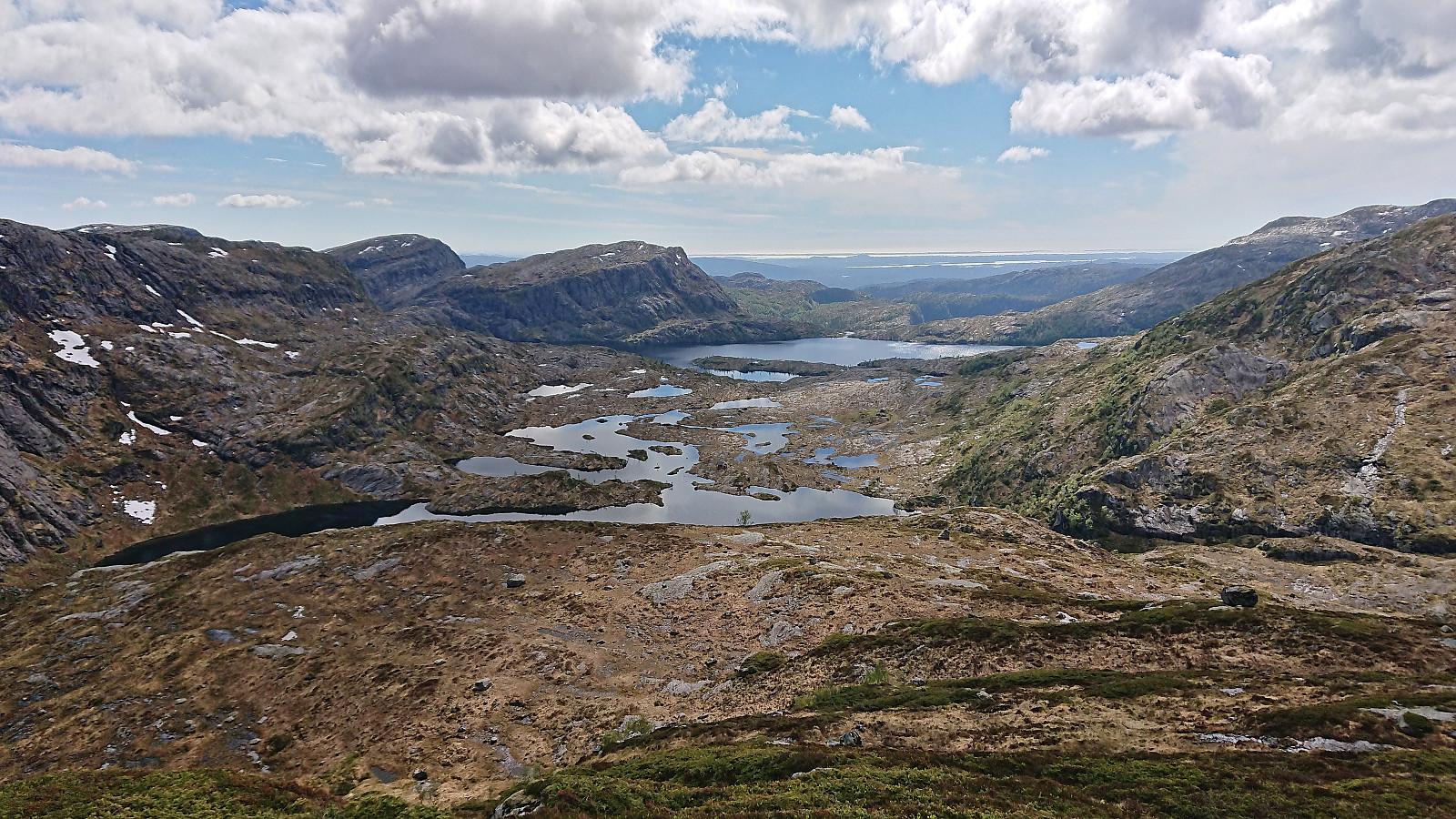
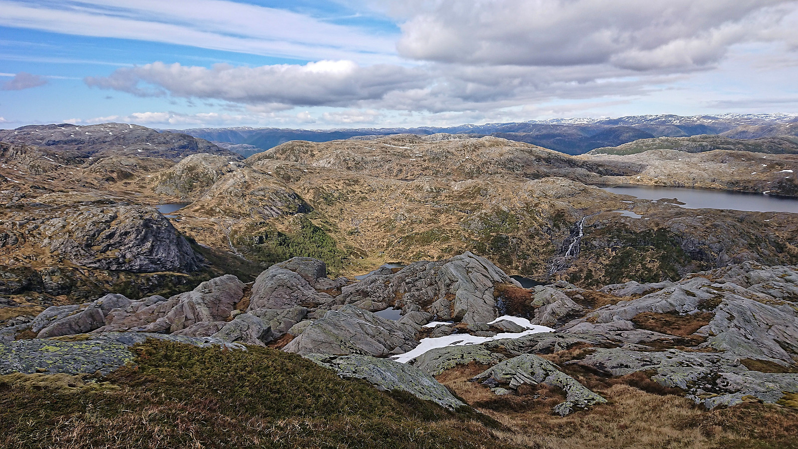
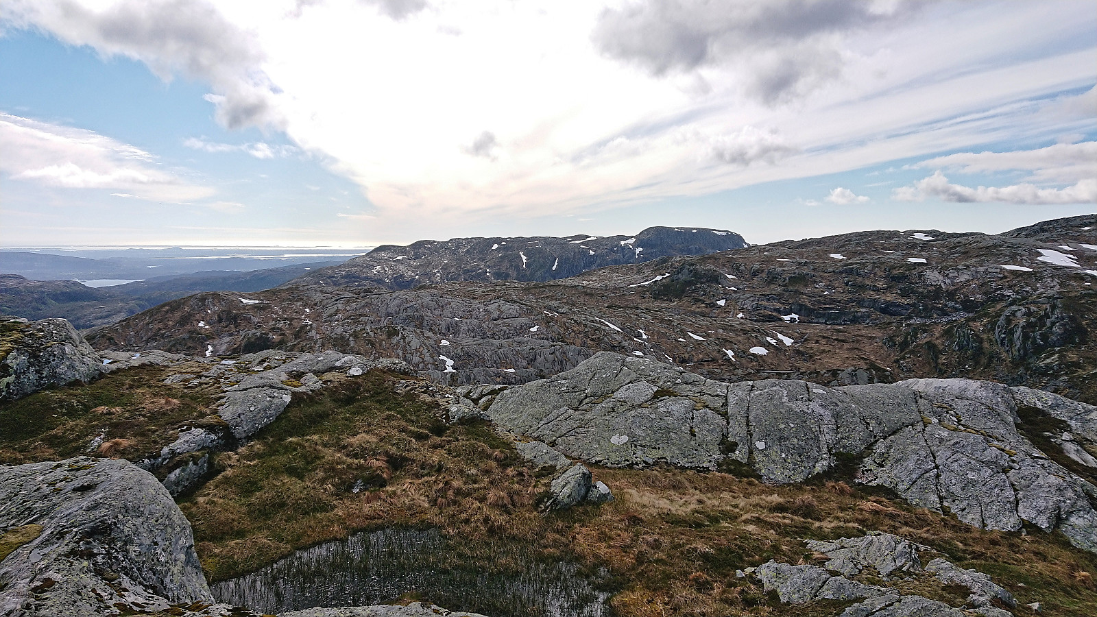
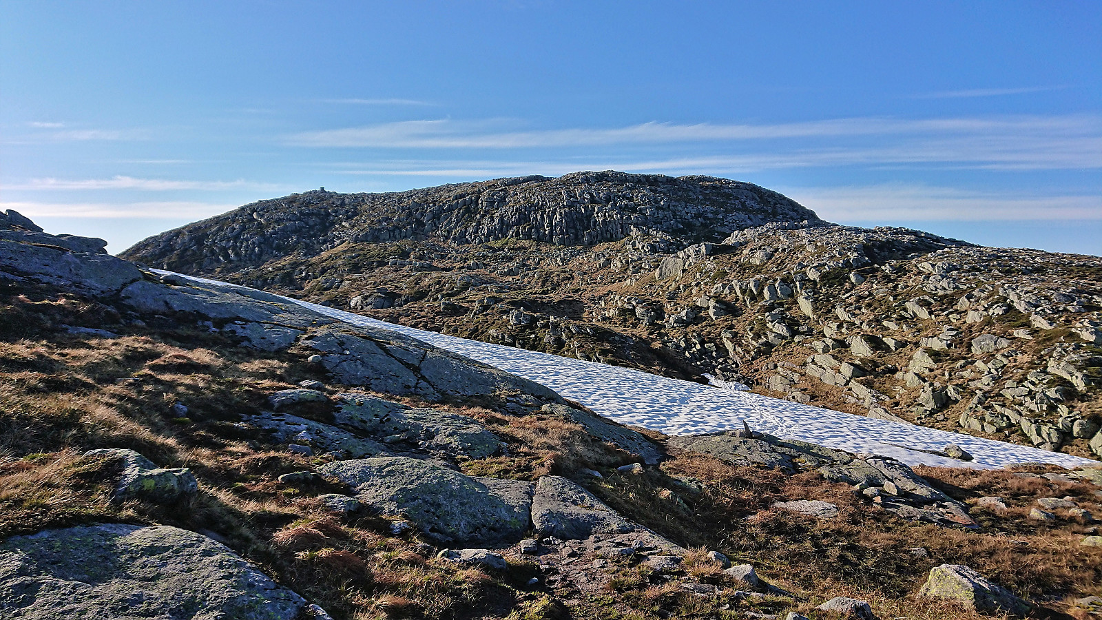
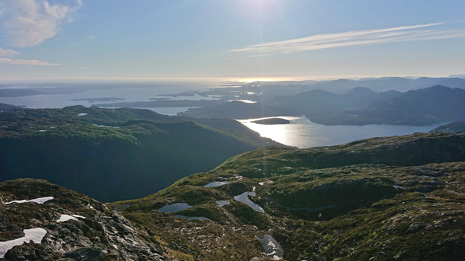
The steps may at some point have been part of a more visible trail, but we quickly gave up searching for it and simply let the terrain guide our way upwards. Overall, this was not difficult and we managed to find a route that did not require any climbing or scrambling. The summit provided great views and a good place for our very late lunch break.
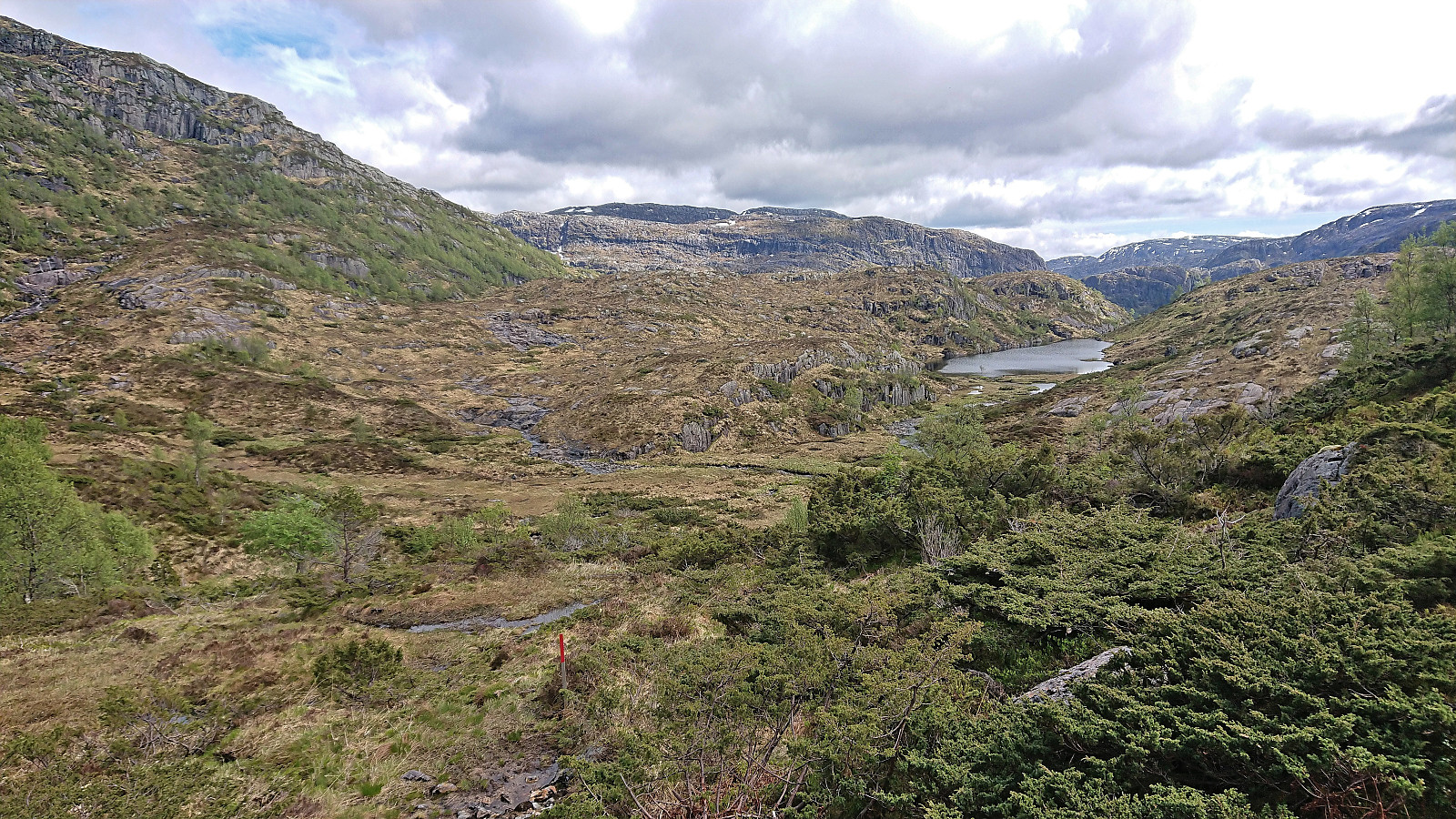
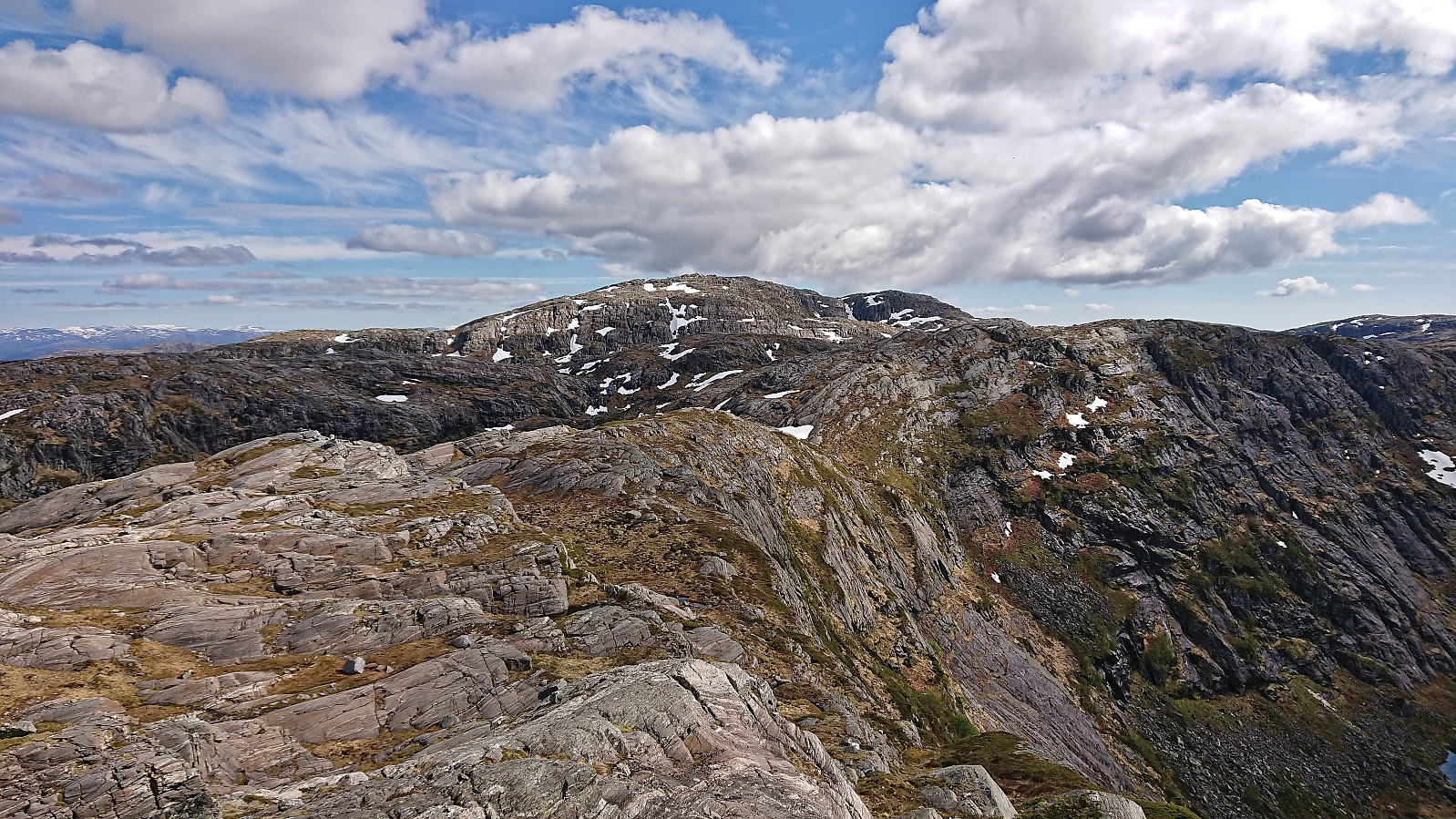
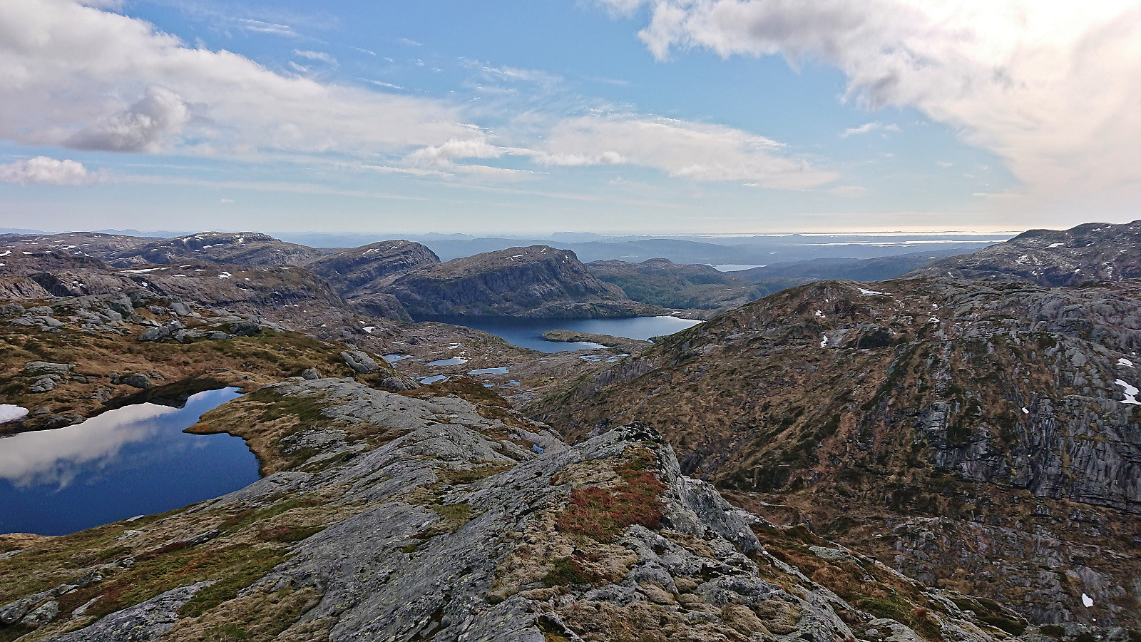
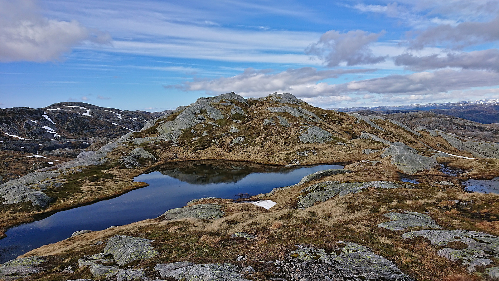
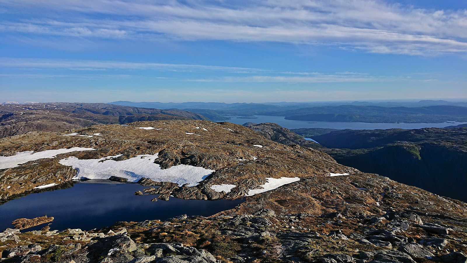
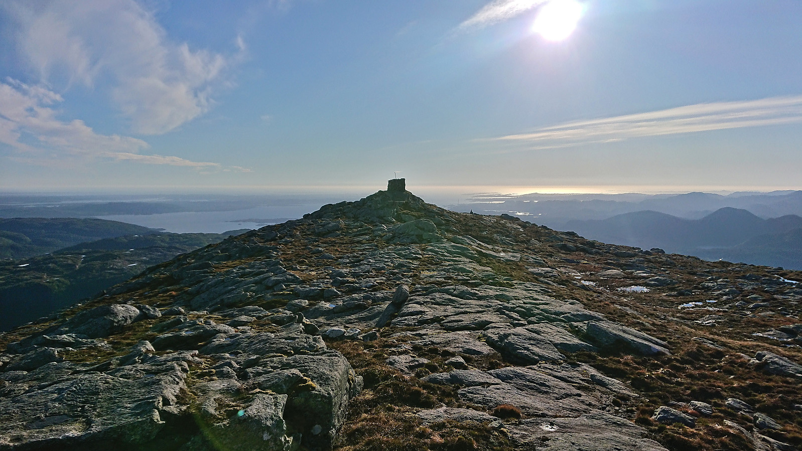
We descended along more or less the same route, maybe coming across additional sections of the old weak trail, before retracting our steps to the beforementioned marked trail to Ådneburen. Yehia was a bit uncertain whether he would actually make it to the top of yet another mountain and talked about taking a break while I continued on my own, but in the end he found the needed energy and it did not take long before we both arrived at the large cairn and could enjoy the excellent views.
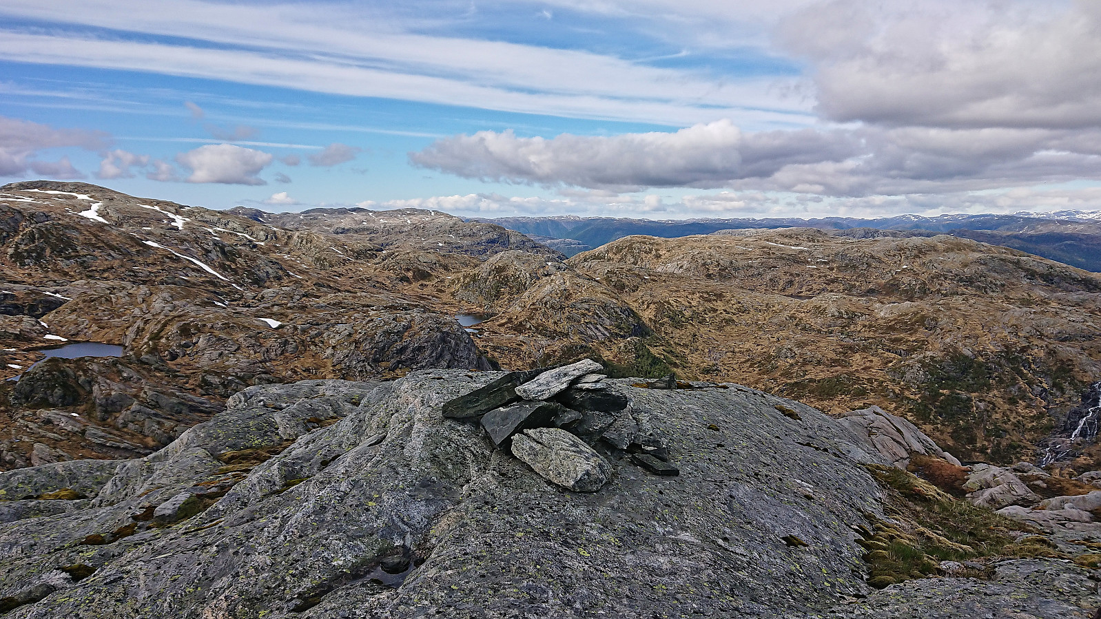
Before descending we of course made the short detour to the highest point around 150 meters east of the cairn. With that task completed, we returned to the car along the same route as used for the ascent, thus concluding a long but excellent day of hiking in Masfjorden. Takk for turen, Yehia! :)
| Start date | 05.06.2022 14:21 (UTC+01:00 DST) |
| End date | 05.06.2022 21:42 (UTC+01:00 DST) |
| Total Time | 7h 21min |
| Moving Time | 6h 45min |
| Stopped Time | 0h 36min |
| Overall Average | 2.3km/h |
| Moving Average | 2.5km/h |
| Distance | 17.1km |
| Vertical meters | 1,068m |


User comments