
Lyderhorn from Skålevik (to Gravdal) (21.04.2022)

Written by hbar (Harald Barsnes)

| Start point | Skålevik parkering (18m) |
|---|---|
| Endpoint | Gravdal/Lyderhornsveien (24m) |
| Characteristic | Hillwalk |
| Duration | 3h 07min |
| Distance | 8.8km |
| Vertical meters | 481m |
| GPS |
|
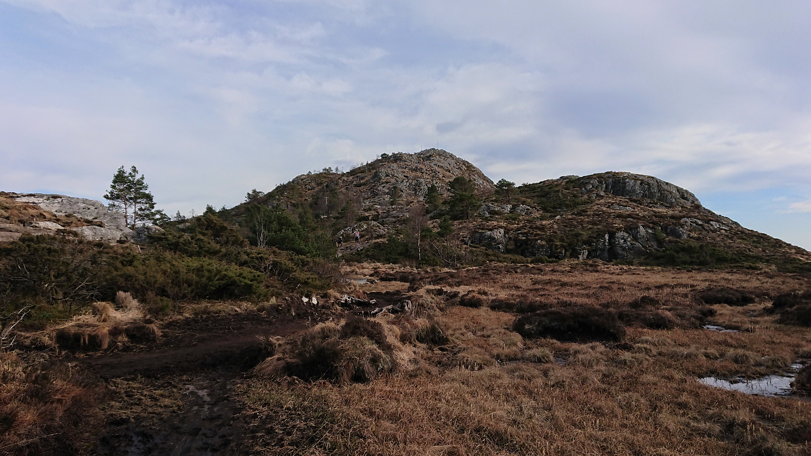
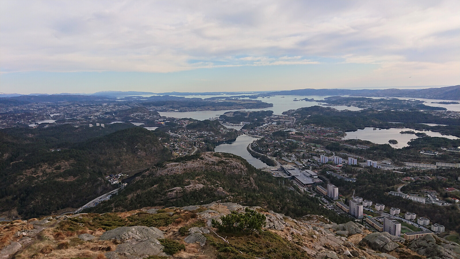
| Ascents | Lyderhorn (396m) | 21.04.2022 |
|---|---|---|
| Visits of other PBEs | Kvarven fort (125m) | 21.04.2022 |
| Lyderhornhytten (lokalitet) (396m) | 21.04.2022 | |
| Skålevik parkering (18m) | 21.04.2022 |
Lyderhorn from Skålevik (to Gravdal)
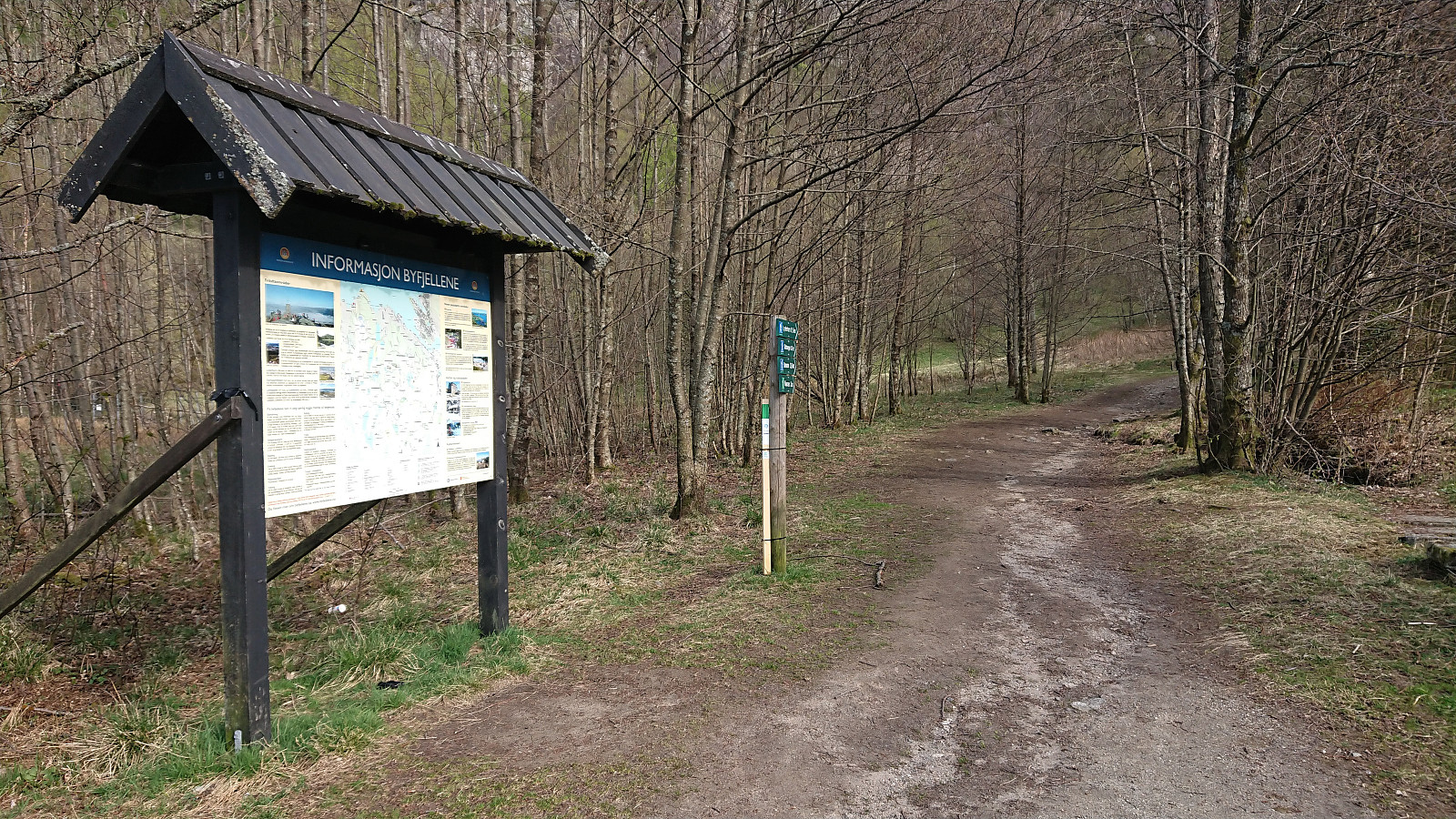
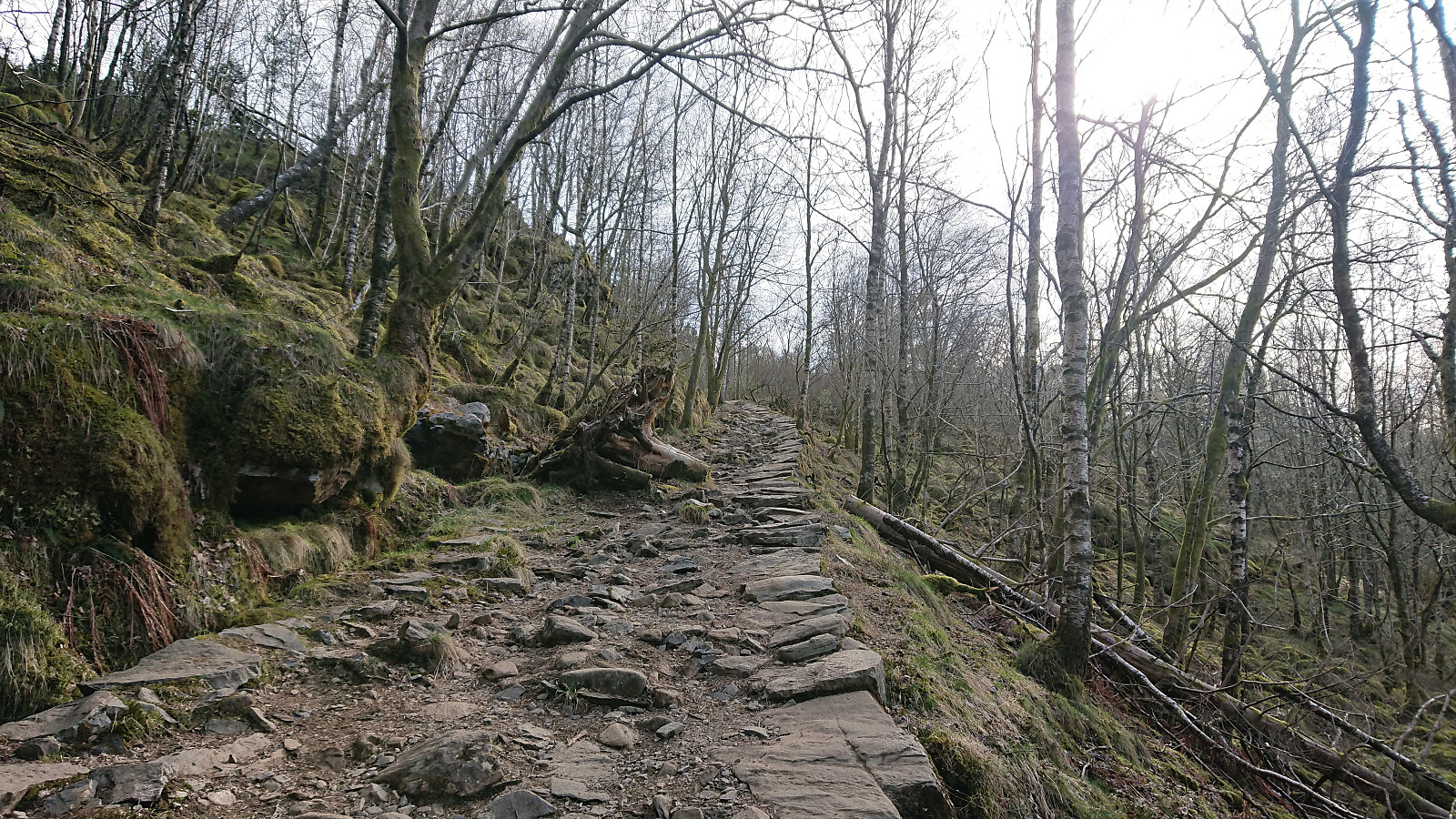
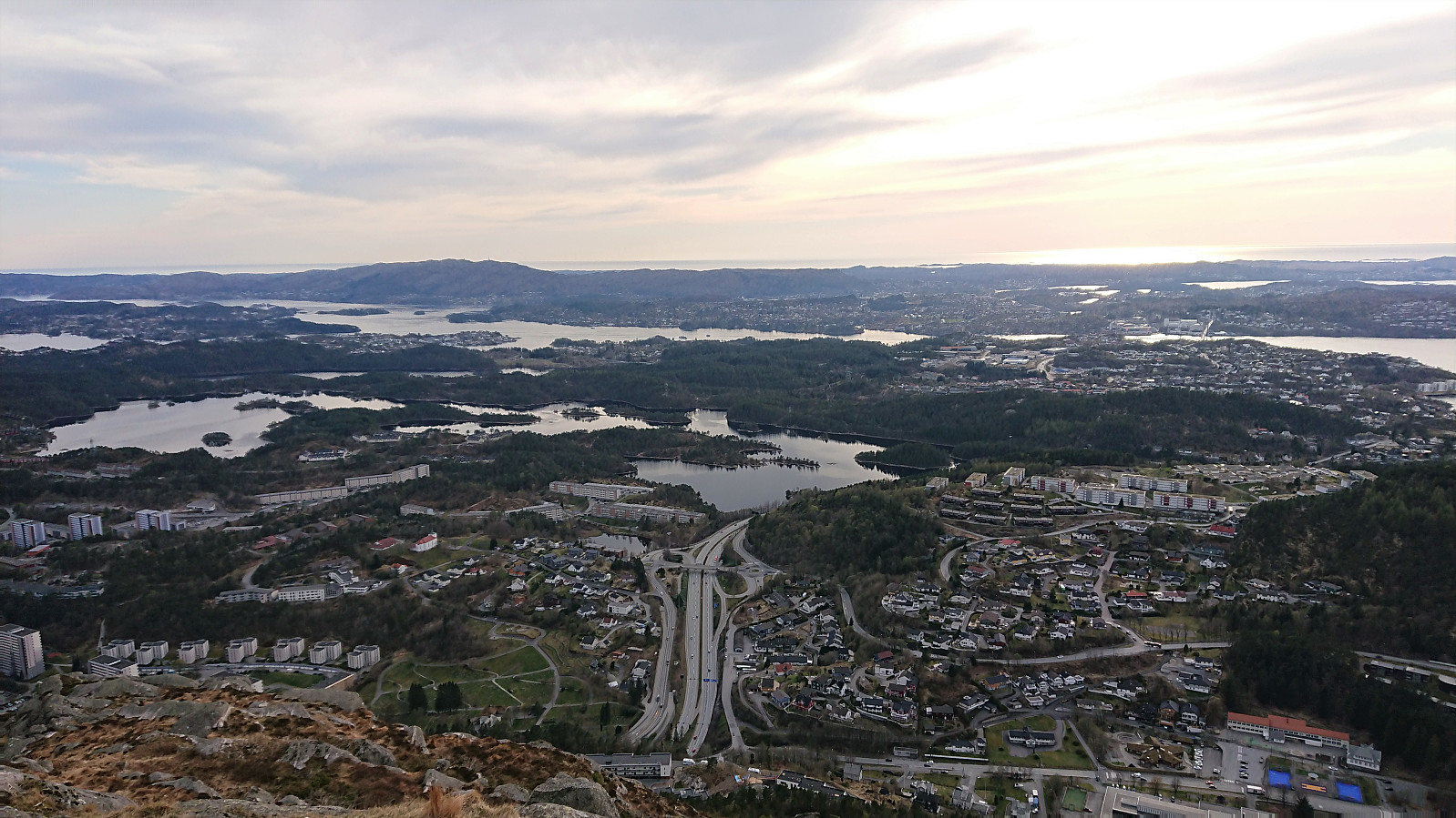
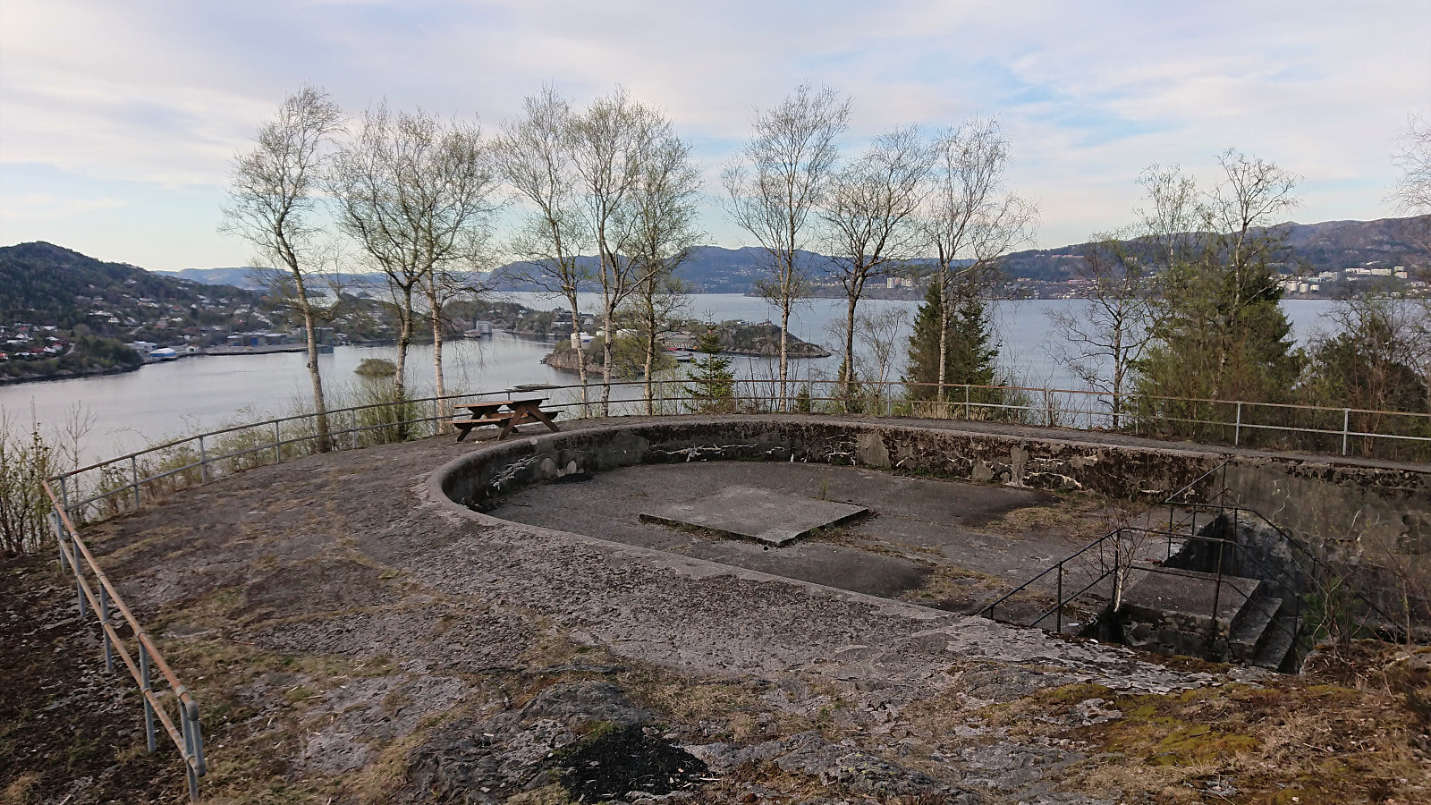
Hike to Lyderhorn after work with a couple of colleagues where we started from the parking lot at Skålevik. First along an old winding military road and later along a marked trail. After visiting the summit, I made a detour on my own via Kvarven fort to Gravdal from where I took the bus home.
| Start date | 21.04.2022 17:05 (UTC+01:00 DST) |
| End date | 21.04.2022 20:13 (UTC+01:00 DST) |
| Total Time | 3h 07min |
| Moving Time | 2h 45min |
| Stopped Time | 0h 22min |
| Overall Average | 2.8km/h |
| Moving Average | 3.2km/h |
| Distance | 8.8km |
| Vertical meters | 481m |


User comments