
Nord for Storhovden from Bjørndalsbakken (06.07.2021)

Written by hbar (Harald Barsnes)

| Start point | Bjørndalsbakken (42m) |
|---|---|
| Endpoint | Tennebekk (48m) |
| Characteristic | Hillwalk |
| Duration | 0h 57min |
| Distance | 3.9km |
| Vertical meters | 166m |
| GPS |
|
| Ascents | Nord for Storhovden (168m) | 06.07.2021 |
|---|
Nord for Storhovden from Bjørndalsbakken
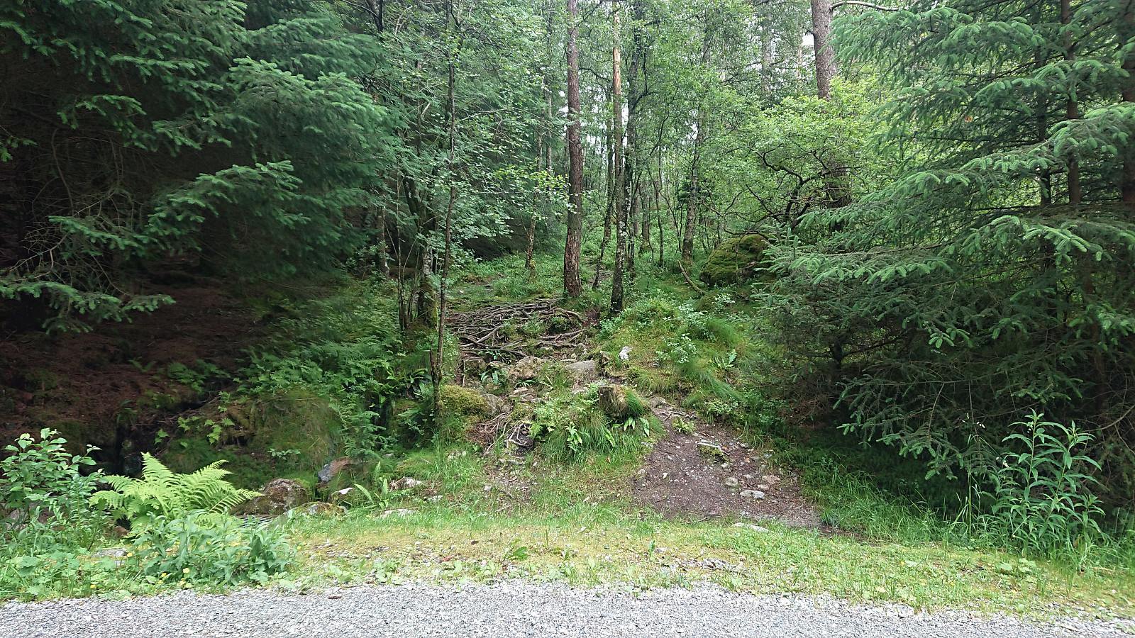
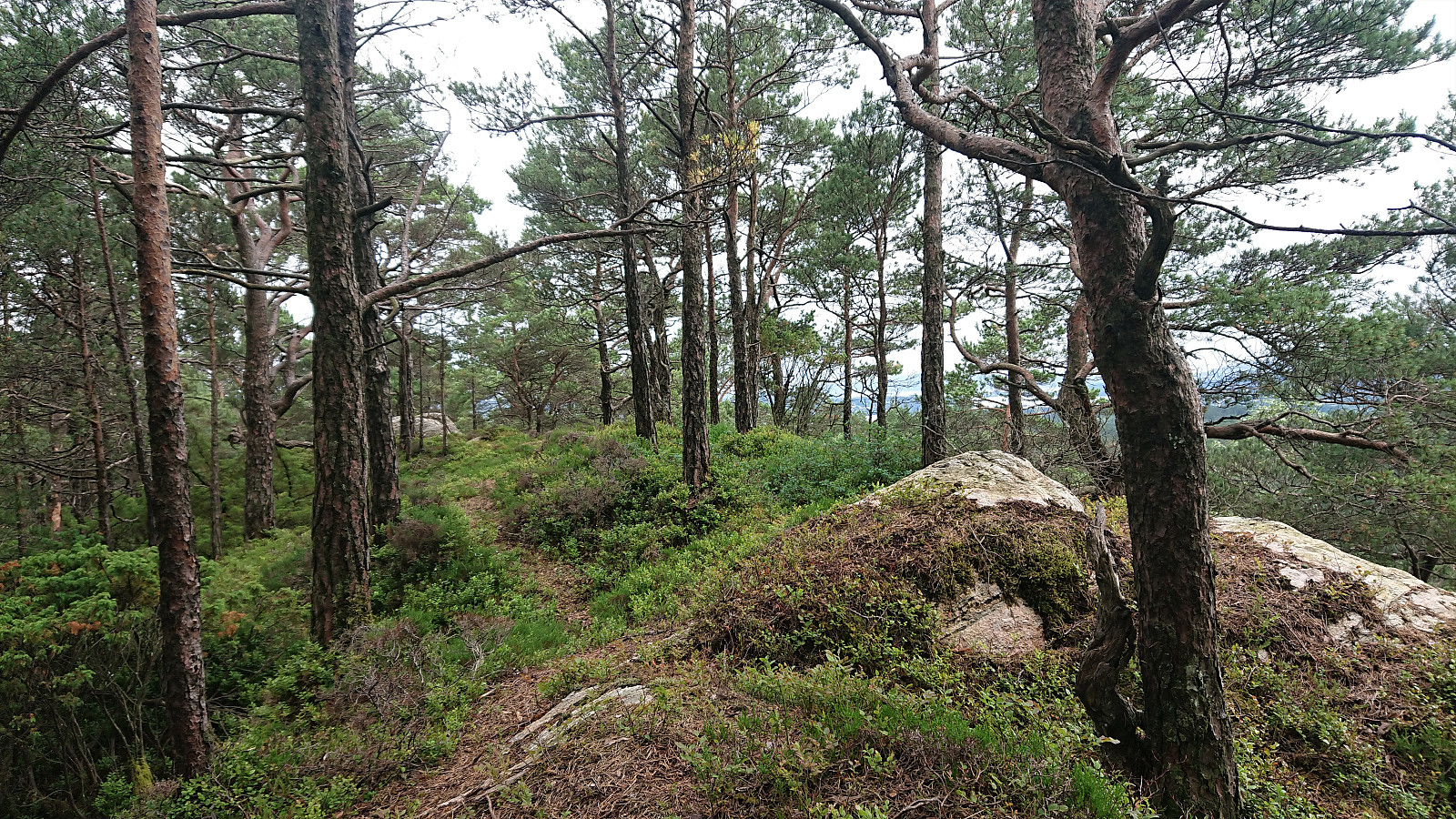
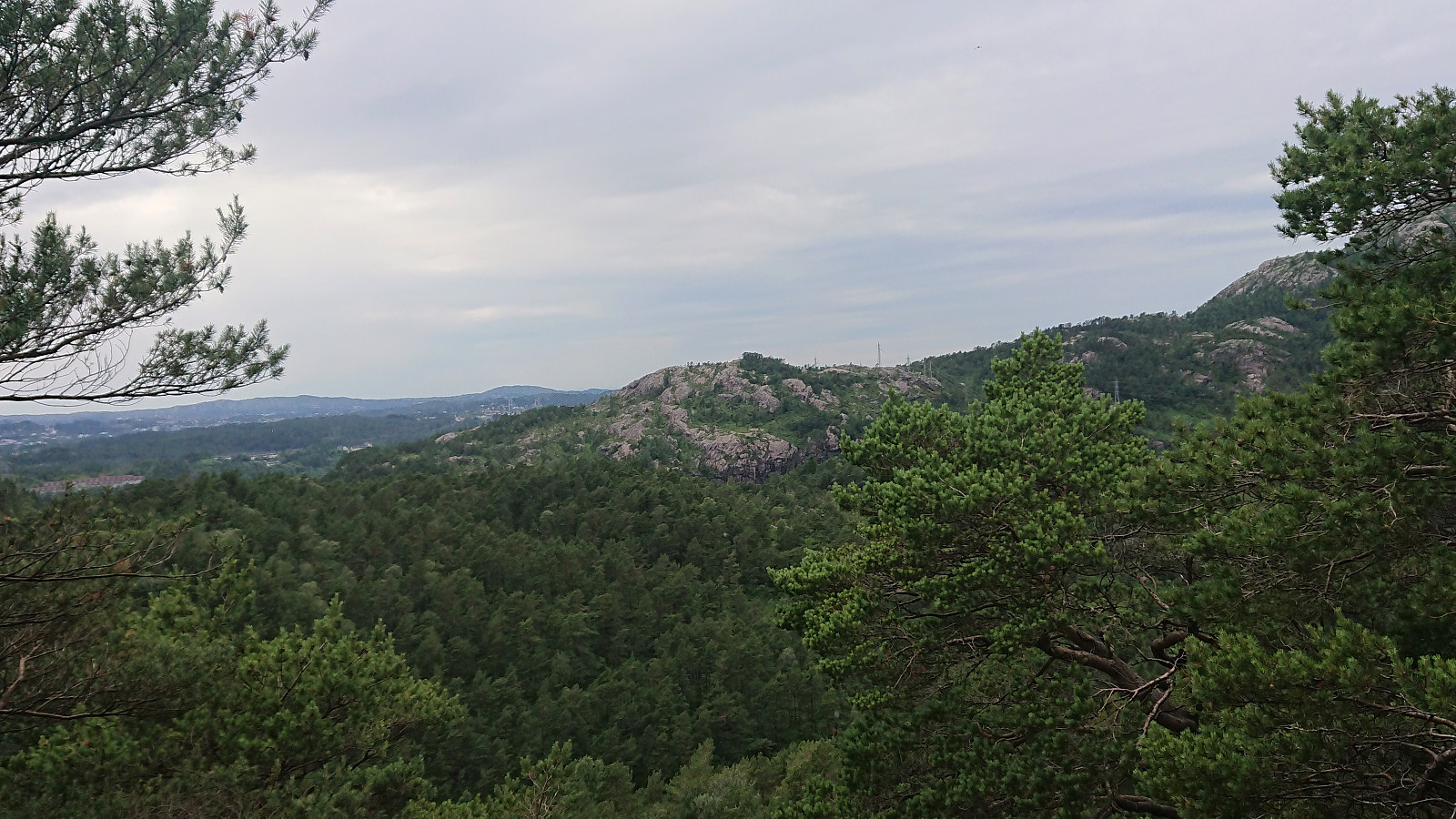
Short hike after work to visit Nord for Storhovden. After a short walk along the gravel road south of Tennebekktjørna, I turned south on an unmarked trail taking me dangerously close to the three-eyed monster of Kanadaskogen that Helwig discovered late last year. I therefore turned west and instead followed various trails/deer tracks towards the summit of Nord for Storhovden. Better views from the summit than expected, but I would still assume that this location does not see many visitors. From the summit I followed other deer tracks back to the gravel road, where the plan had been to also include a visit of Stemhaugen. But when the size and amount of raindrops started increasing, I instead ended up running back to the bus stop in order to not get too wet. As soon as I got on the bus the rain however stopped, but by then I had already decided to leave Stemhaugen for another day.

| Start date | 06.07.2021 17:11 (UTC+01:00 DST) |
| End date | 06.07.2021 18:08 (UTC+01:00 DST) |
| Total Time | 0h 57min |
| Moving Time | 0h 54min |
| Stopped Time | 0h 3min |
| Overall Average | 4.1km/h |
| Moving Average | 4.4km/h |
| Distance | 3.9km |
| Vertical meters | 166m |


User comments