
Orrnipa from Sæbø (07.03.2021)

Written by hbar (Harald Barsnes)

| Start point | Sæbø kirke (66m) |
|---|---|
| Endpoint | Sæbø kirke (66m) |
| Characteristic | Hillwalk |
| Duration | 1h 43min |
| Distance | 5.4km |
| Vertical meters | 214m |
| GPS |
|
| Ascents | Orrnipa (170m) | 07.03.2021 |
|---|
Orrnipa from Sæbø
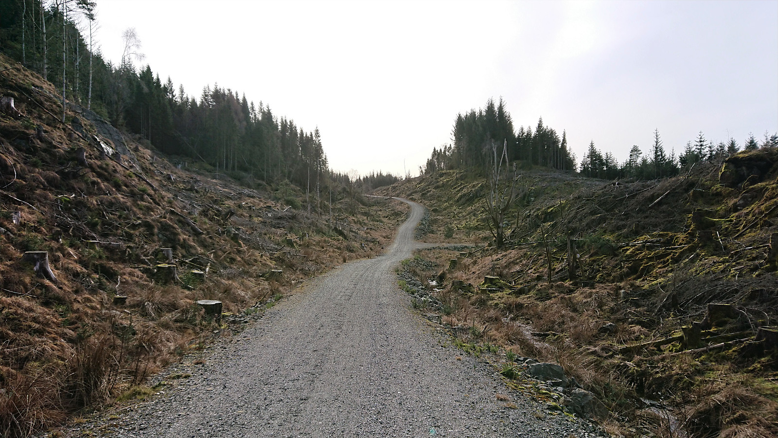
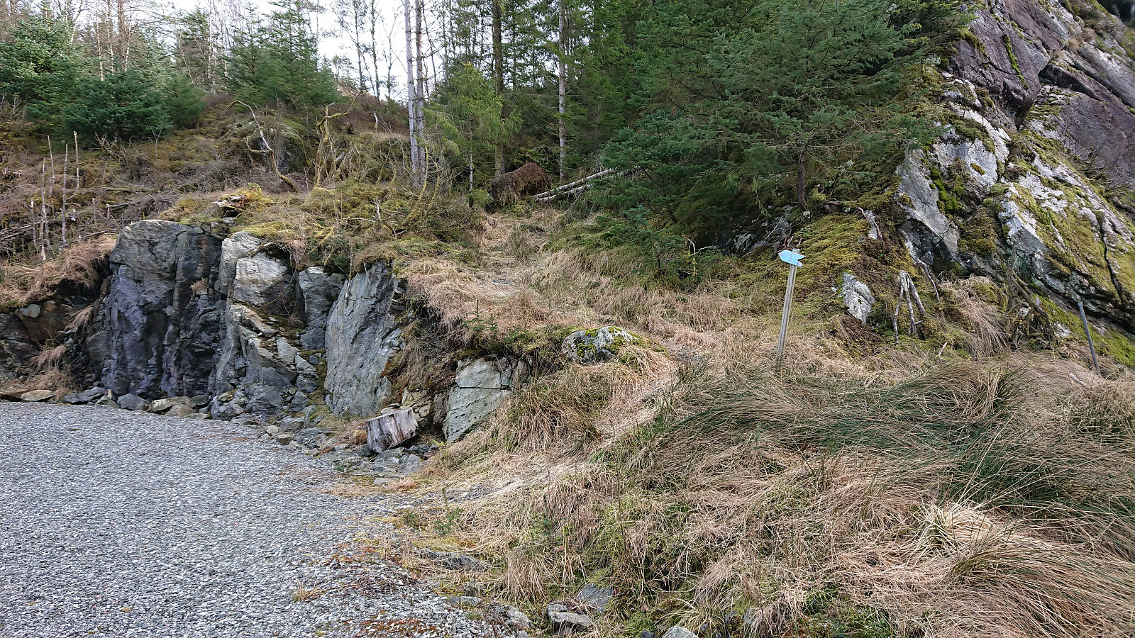
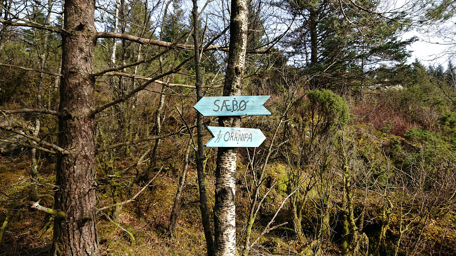
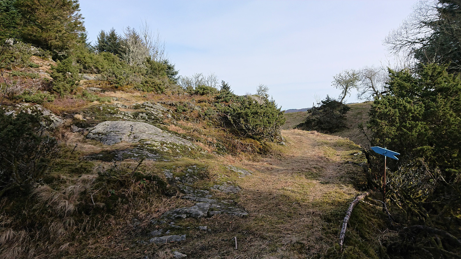

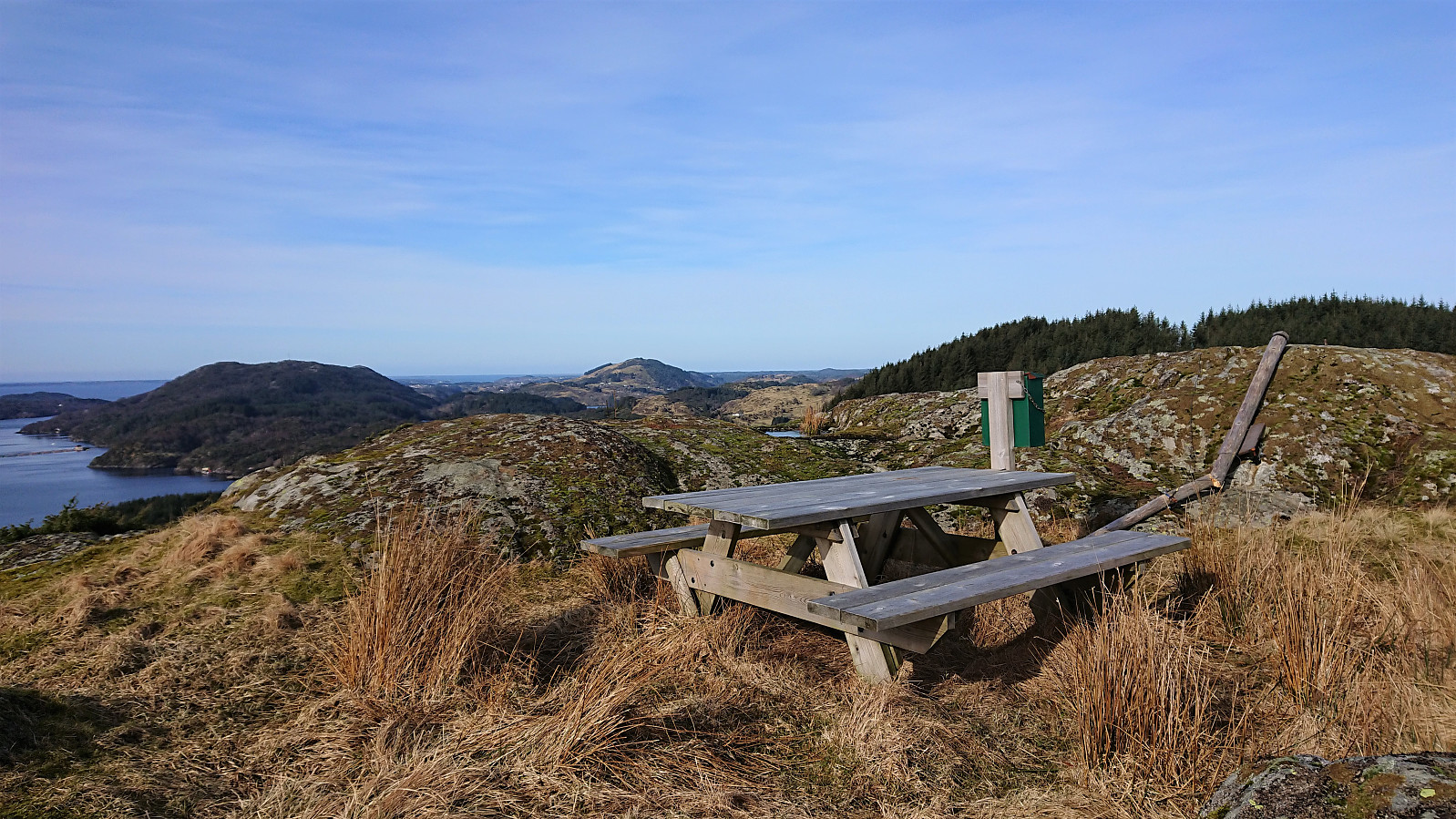
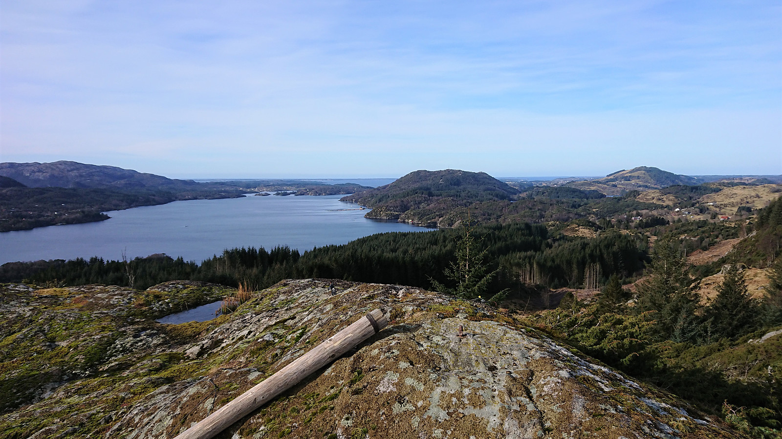
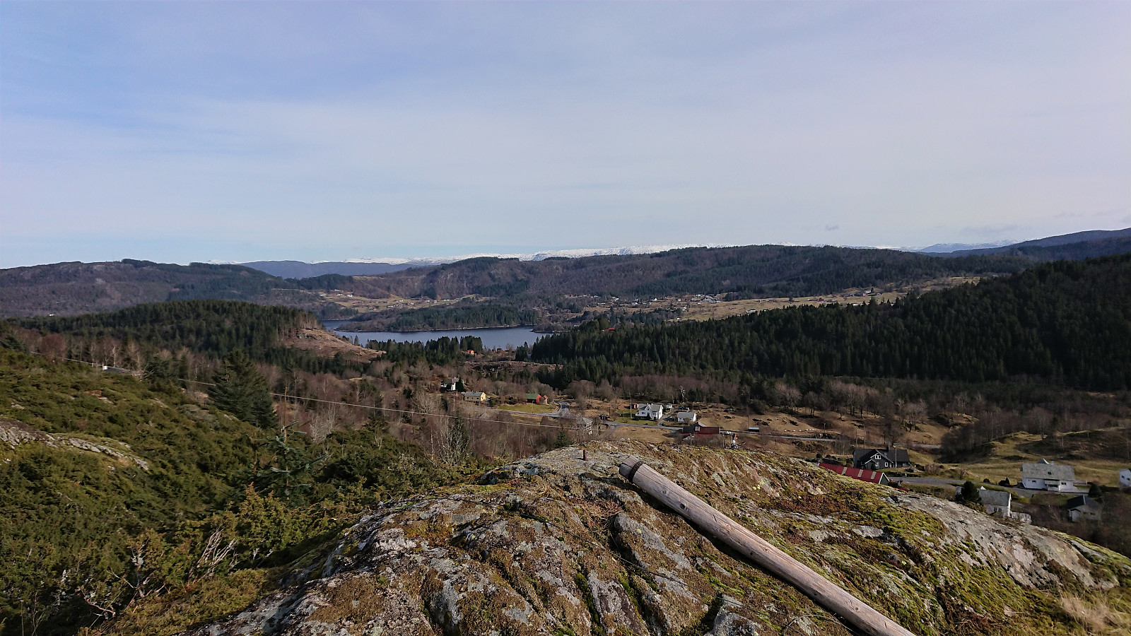
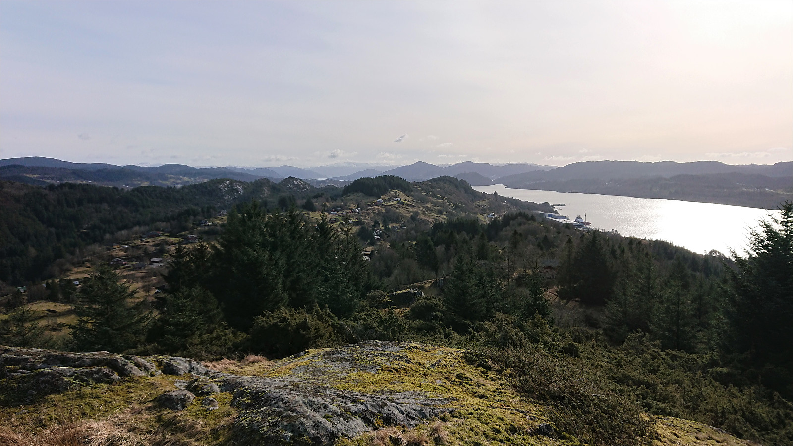
A short hike were we more or less followed in the footsteps of Kjell. We parked by the church at Sæbø and from there followed an unmarked gravel road southeast. When the road ended there was a trailhead marked by a blue arrow and a trail that could easily be followed all the way to the summit. (Note that about halfway to the summit there was also a marked trail coming up from Vetås/Vettås, hence it should also be possible to ascend Orrnipa from that direction as well.) The summit provided excellent views in all directions, even more so for only being 170 meters above sea level.
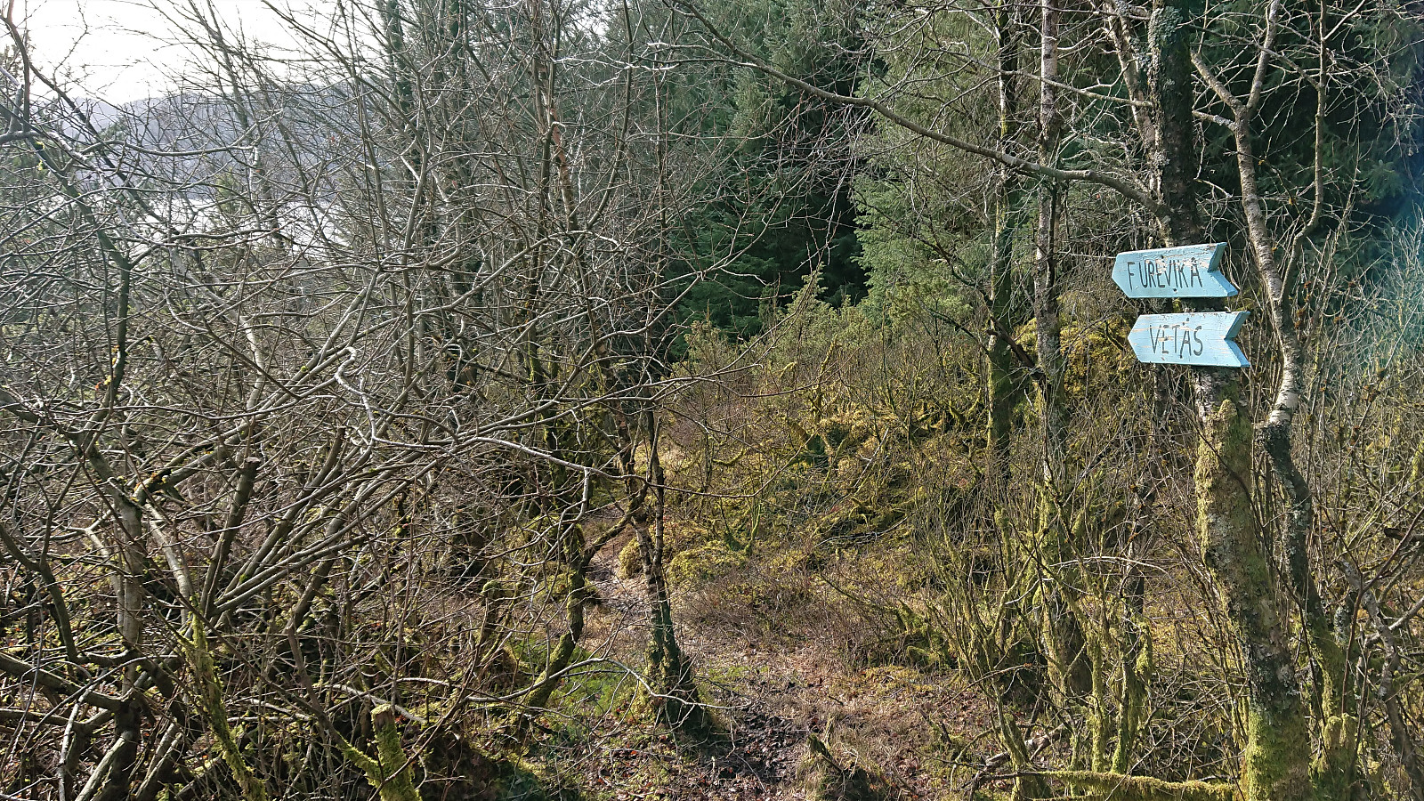
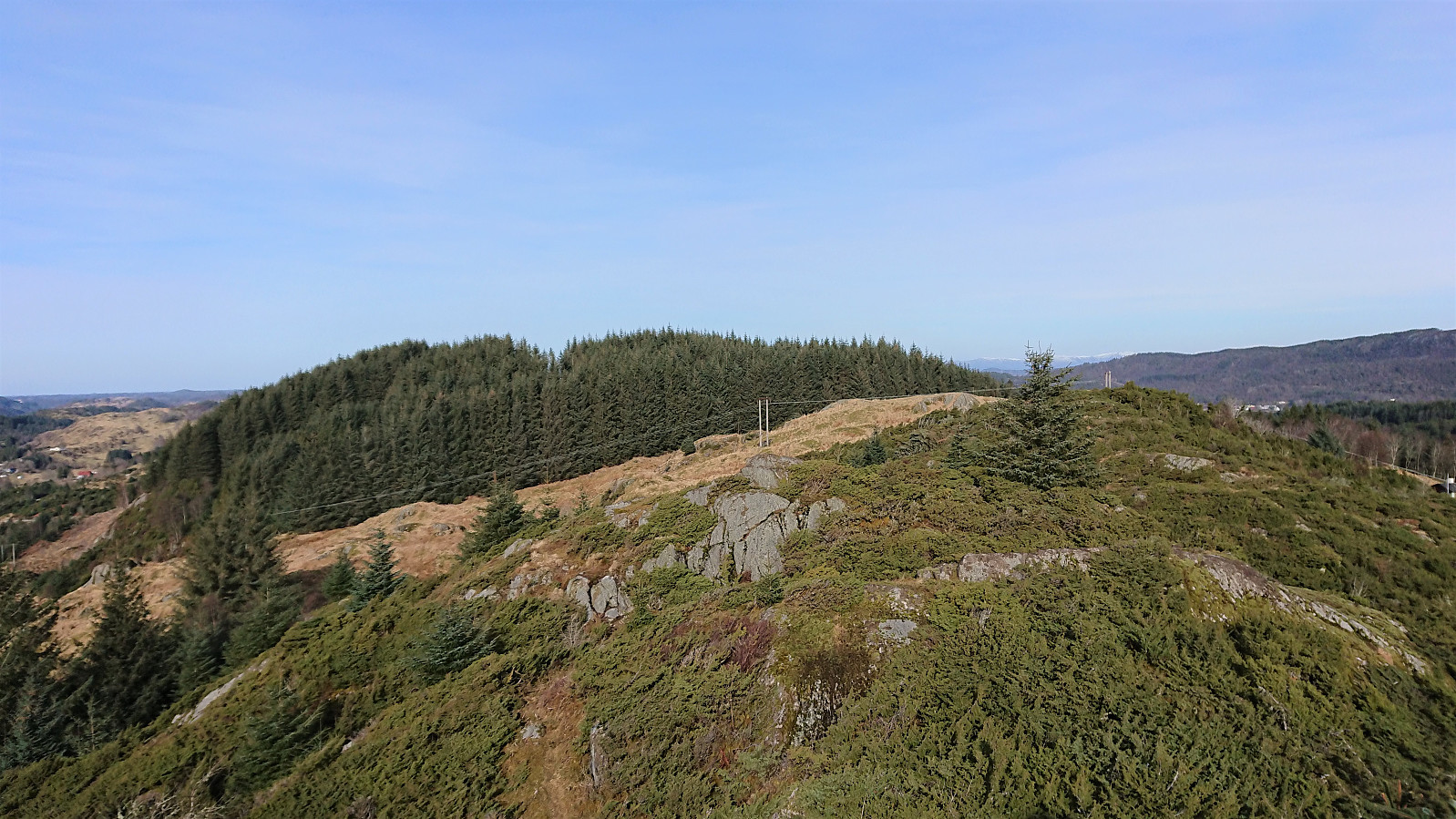
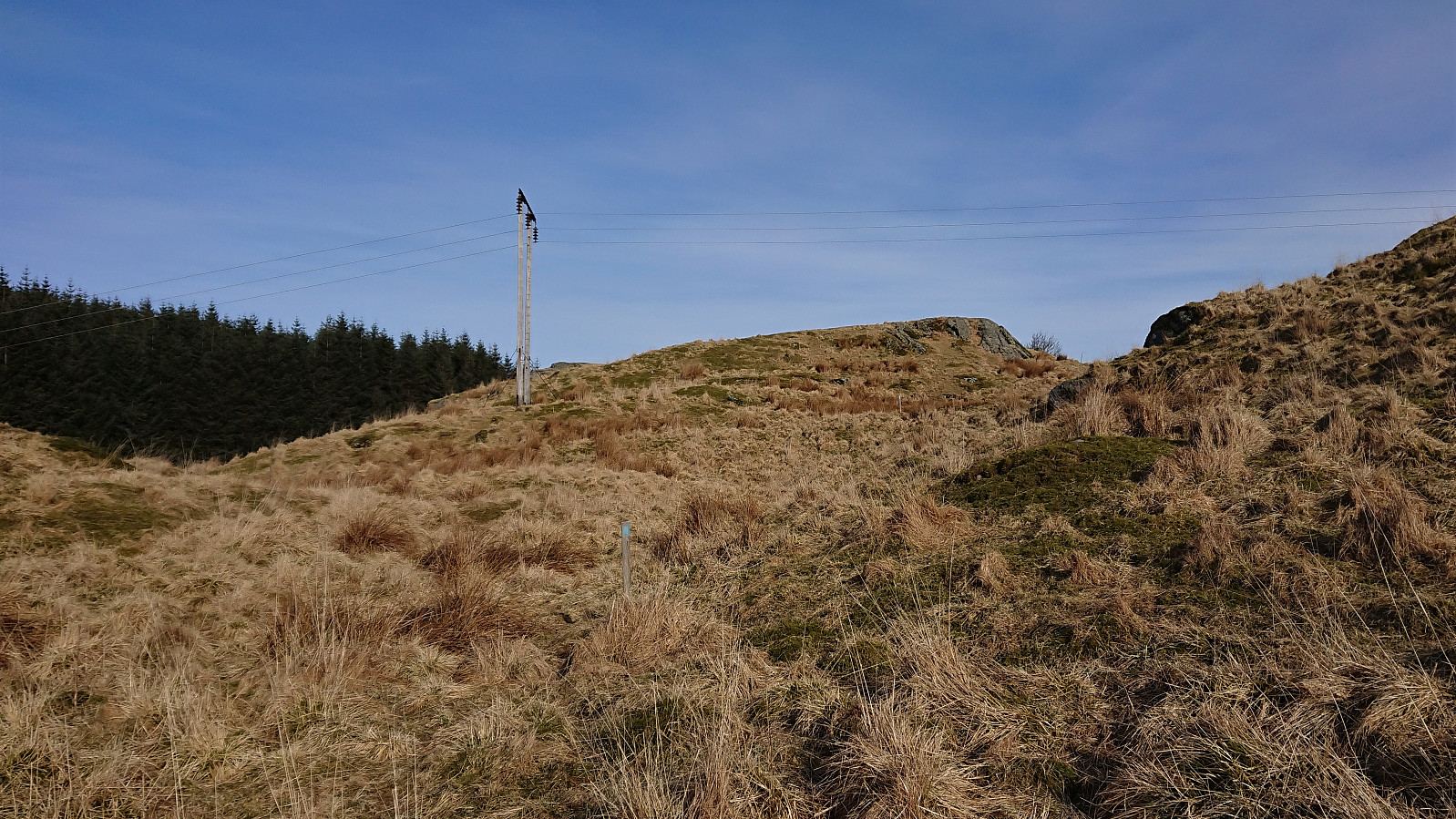
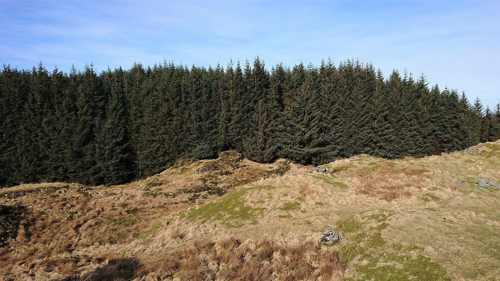
From the summit we followed a weak trail marked with blue paint, but unlike Kjell we continued on this trail as it entered into the dense forest. Upon exiting the forest we however soon arrived at a fence with no further trail markers to be found. We tried backtracking to see if we had missed a turn somewhere, but soon gave up, crossed the fence and continued off-trail in what we hoped was the right direction.
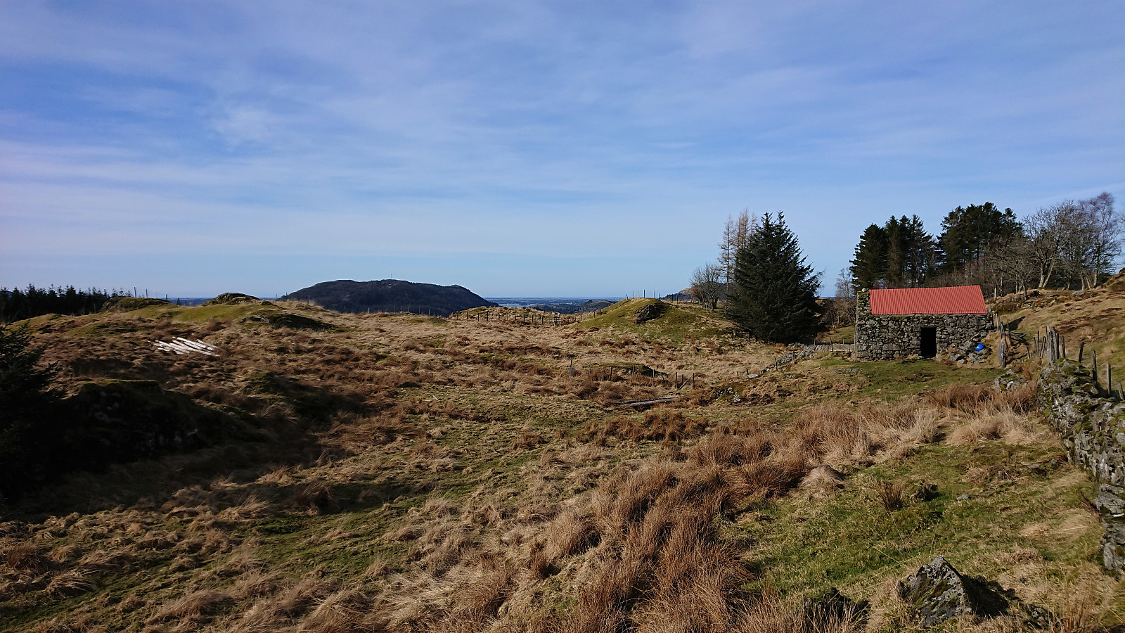
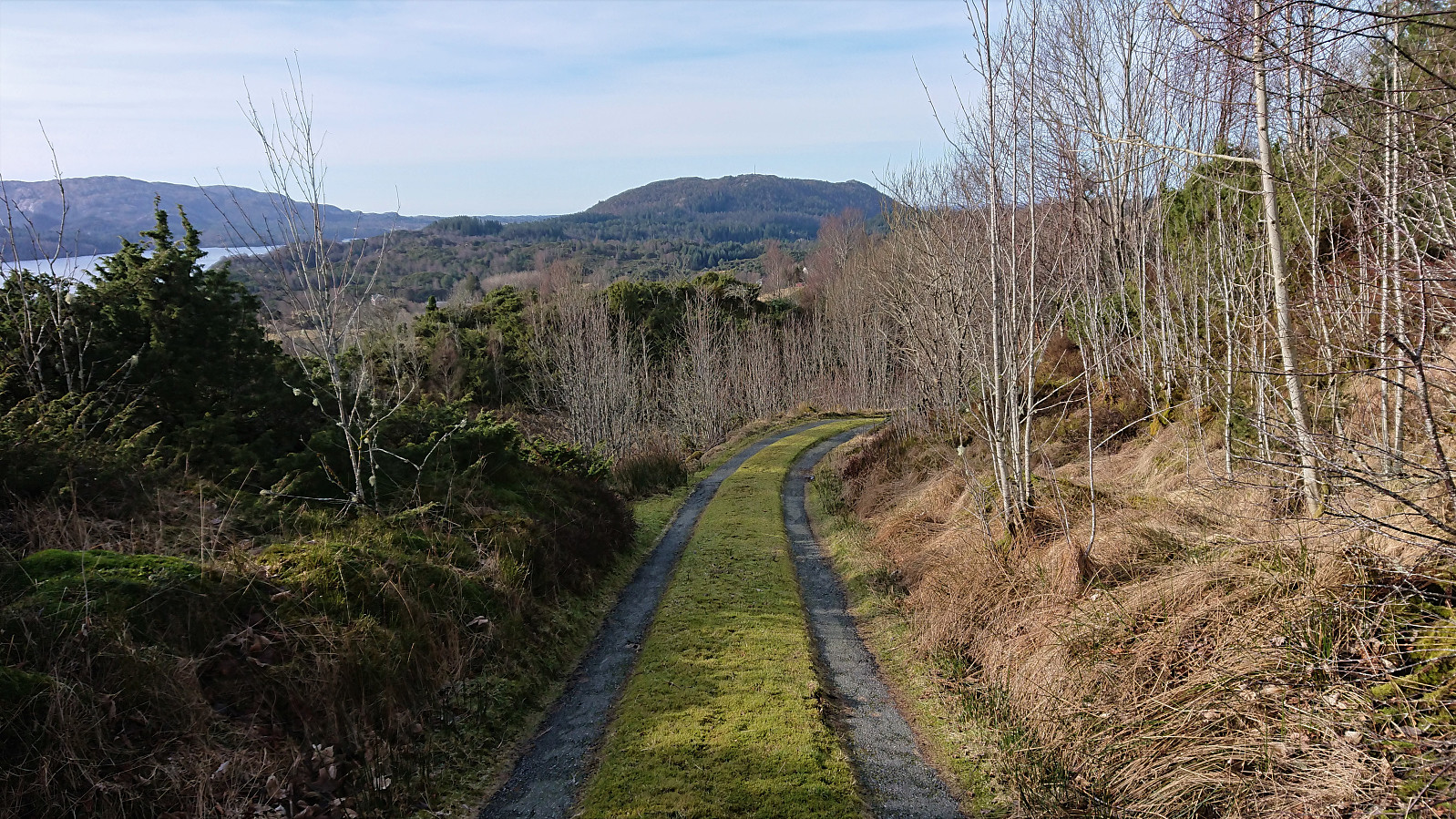
Shortly a tractor road appeared, which we briefly followed until deciding it was heading in the wrong direction. We therefore left the tractor road, crossed two or three additional fences (some topped with barbed wire...), before again connecting with a tractor road, and later an interestingly paved road (see picture), that we could followed all the way back to the car.
In summary, this was clearly a hike of two halves. The first part, including the ascent to Orrnipa and its excellent views, can be highly recommended, while the return to the car, while partially following a marked trail, cannot really be recommended. Probably much better to simply follow the ascent route in both directions.
| Start date | 07.03.2021 11:31 (UTC+01:00) |
| End date | 07.03.2021 13:14 (UTC+01:00) |
| Total Time | 1h 43min |
| Moving Time | 1h 39min |
| Stopped Time | 0h 3min |
| Overall Average | 3.1km/h |
| Moving Average | 3.2km/h |
| Distance | 5.4km |
| Vertical meters | 214m |


User comments