
Baståsen from Osterfjordvegen (E39) (21.02.2021)

Written by hbar (Harald Barsnes)

| Start point | Baståsen P-plass (19m) |
|---|---|
| Endpoint | Baståsen P-plass (19m) |
| Characteristic | Hillwalk |
| Duration | 2h 45min |
| Distance | 6.5km |
| Vertical meters | 330m |
| GPS |
|
| Ascents | Baståsen (148m) | 21.02.2021 |
|---|---|---|
| Geitarinden (69m) | 21.02.2021 | |
| Nonkletten (63m) | 21.02.2021 | |
| Visits of other PBEs | Baståsen p-plass (20m) | 21.02.2021 |
| Dordiplassen (69m) | 21.02.2021 | |
| Baståsen gapahuk (145m) | 21.02.2021 |
Baståsen from Osterfjordvegen (E39)
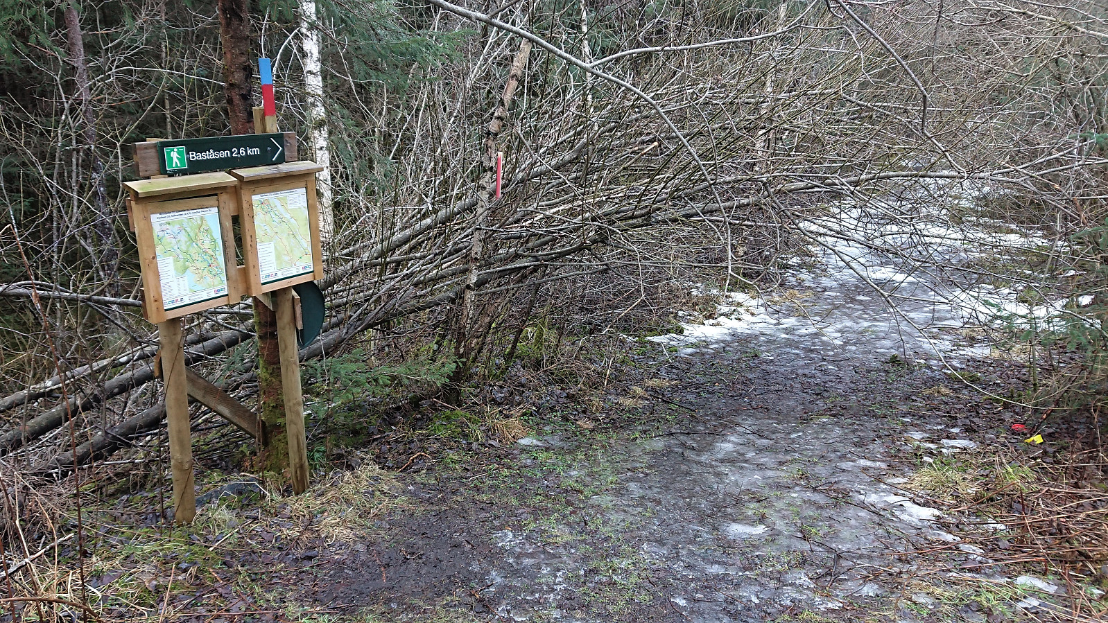


After our short walk along Brekkeløypa, we drove to the small parking lot south/southeast of Baståsen for the start of a marked trail to Baståsen. The trailhead was thus easily located, but the start of the hike was still a bit challenging as both the parking lot and the first part of the trail was covered by ice. Thankfully the ice soon disappeared, and we would only see limited traces of it for the rest of the hike.
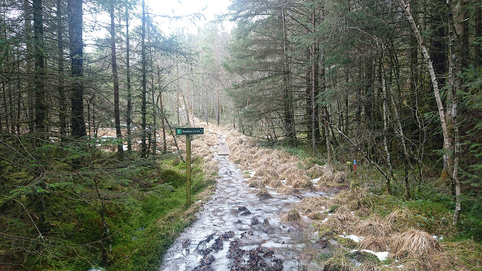
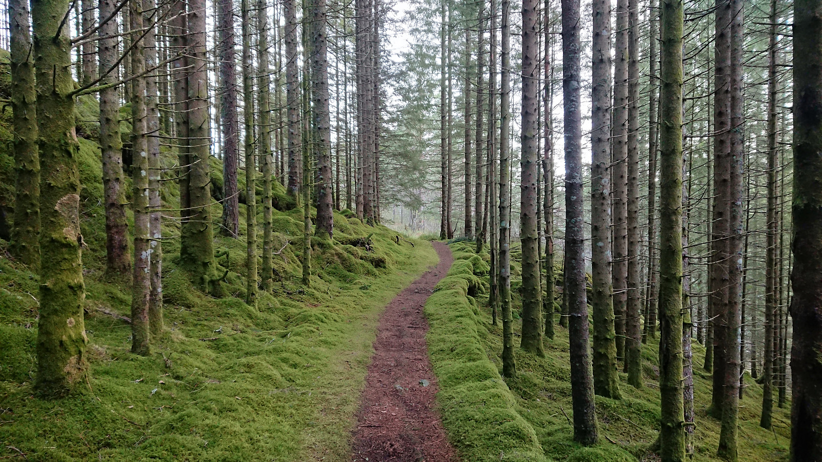
The marked trail was easy to follow and included lots of signs. Some of which came in very handy when the trail forked inside the dense woodland, which it did on multiple occasions as we made our way north/northwest.
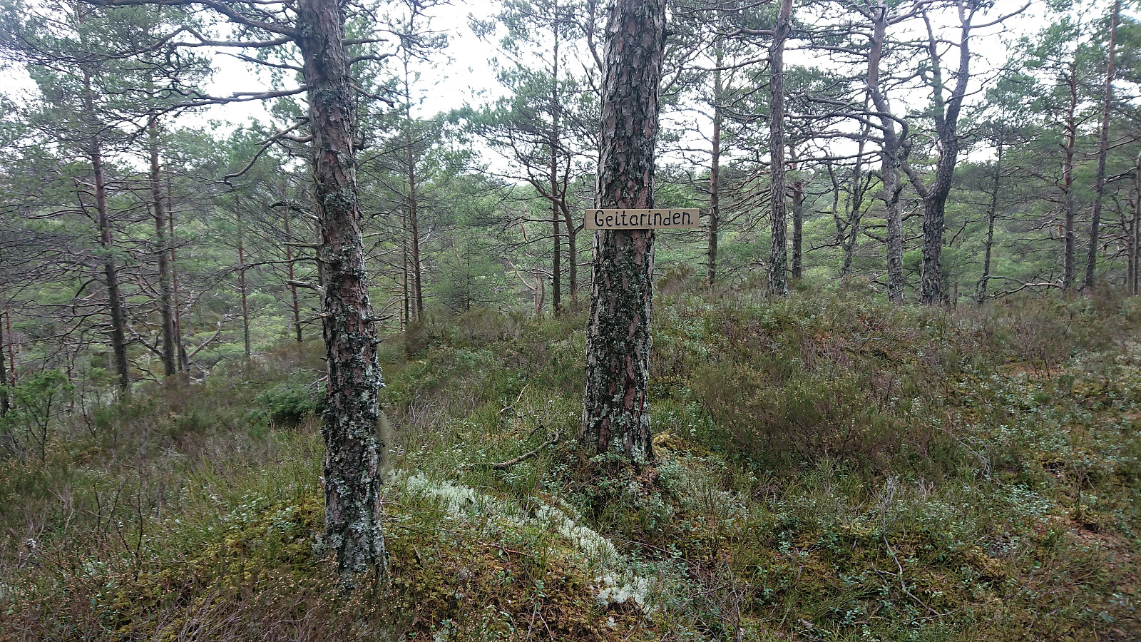
Another characteristic feature was the several small hills that had to be traversed, in which the first one, Nonkletten, even included a relatively steep descent with ropes added for extra safety.
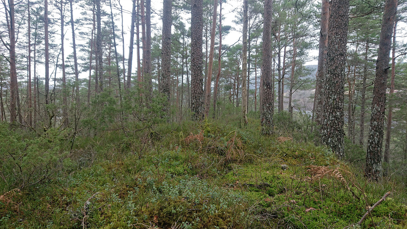
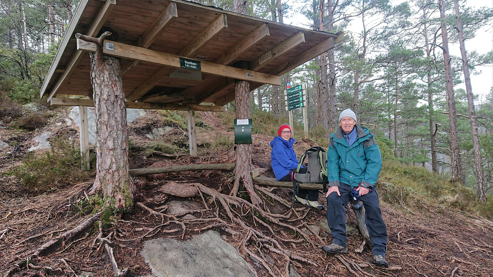
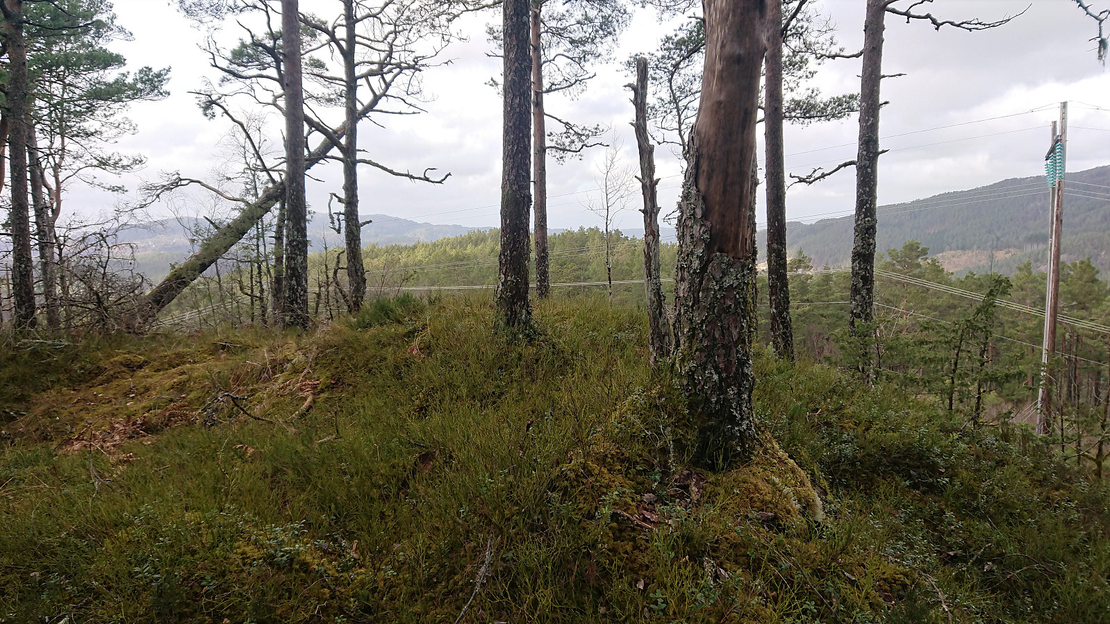
After also passing over Geitarinden, we arrived at the wooden shelter south/southeast of the summit of Baståsen. This location also provided the best views of the hike and is probably what most hikers refer to as Baståsen. The summit is however around 100 meters further north/northwest on a small hill providing limited views that are further ruined by an overhead power line.
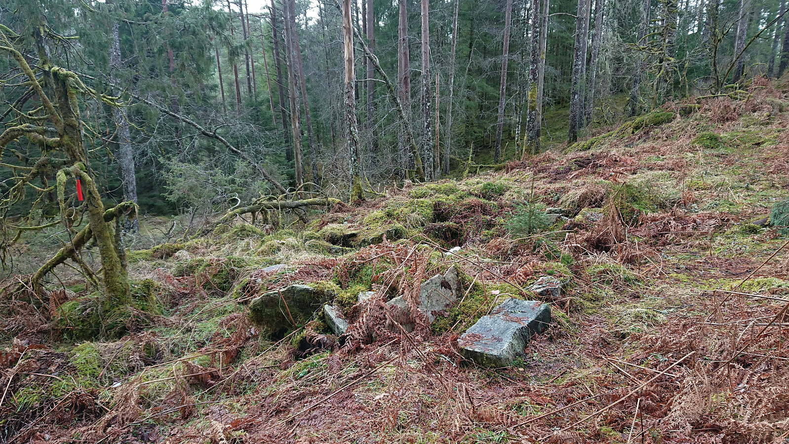
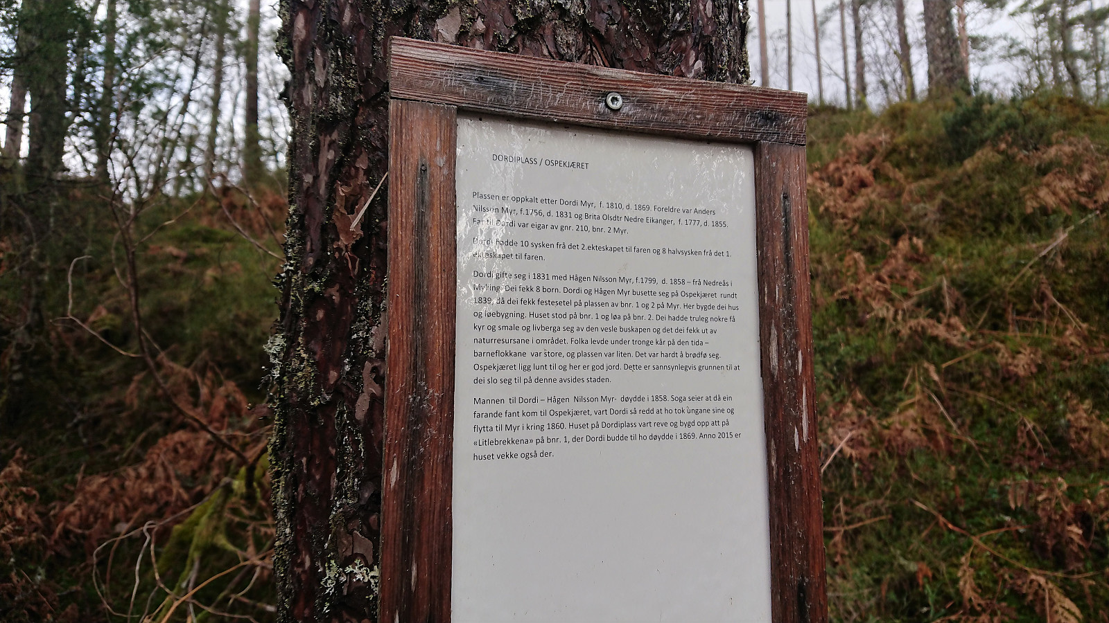
Instead of returning the same way, we continued west along a marked trail towards Dordiplassen, to which I made a short detour on my own. Not a lot left of the house/cabin at Dordiplassen. However, there was a sign with historical information about the location. From Dordiplassen, I returned, still along a marked trail, to southeast of the wooden shelter at Baståsen where I reconnected with the rest of my party.
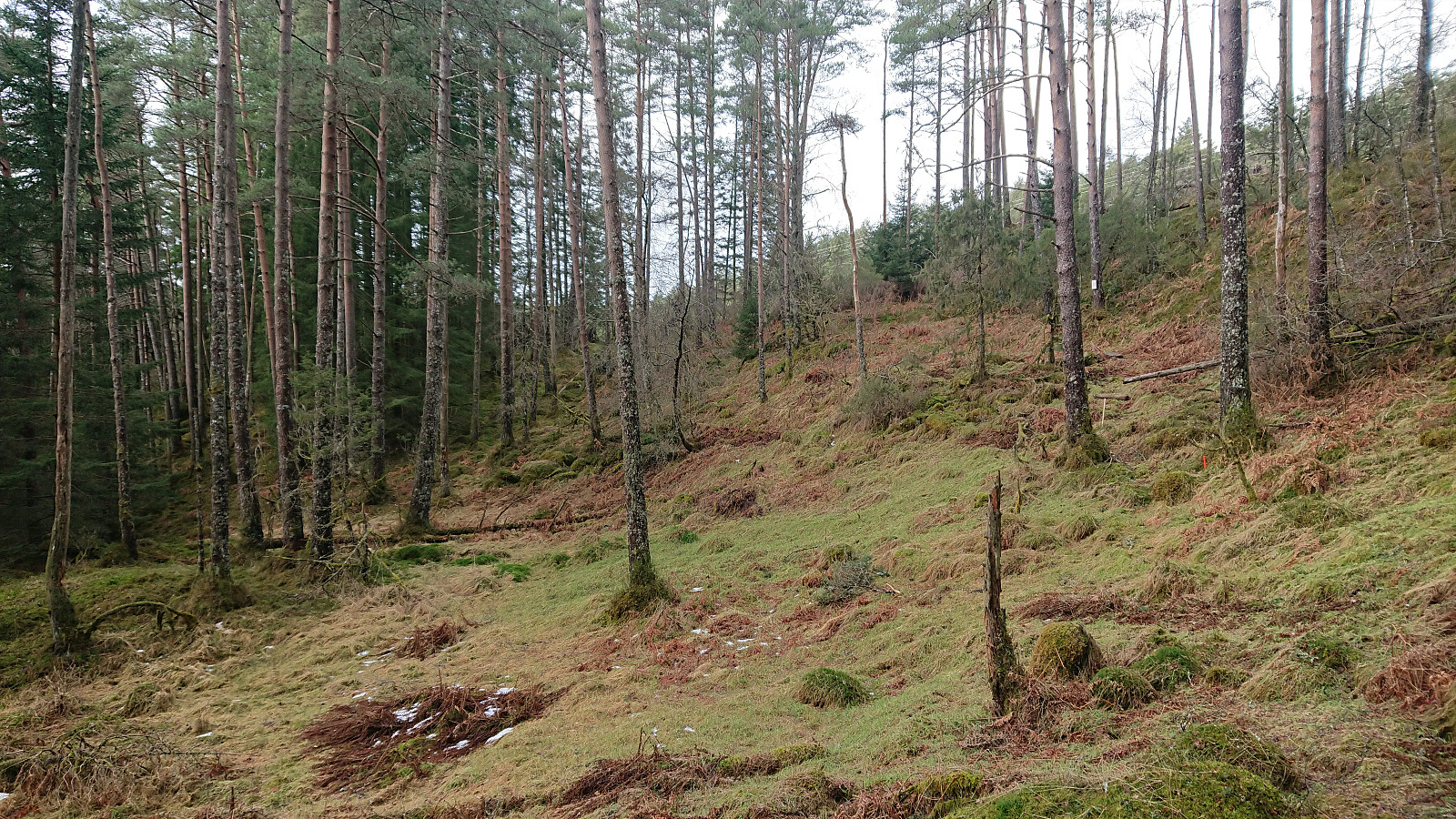
For our descent we decided to try some of the alternative routes as indicated by the signs, and thus ended up following a marked trail that went pretty much parallel to our ascent route about 100-200 meters further west. And while this trail is probably less frequently used, it was still easy to follow. As a bonus we avoided having to re-ascend Nonkletten.
In summary, a nice short hike on overall excellent trails that can be highly recommended. The detour to Dordiplassen is probably more of a special interest though and can easily be skipped without missing much.
| Start date | 21.02.2021 12:37 (UTC+01:00) |
| End date | 21.02.2021 15:23 (UTC+01:00) |
| Total Time | 2h 45min |
| Moving Time | 2h 27min |
| Stopped Time | 0h 18min |
| Overall Average | 2.4km/h |
| Moving Average | 2.7km/h |
| Distance | 6.5km |
| Vertical meters | 330m |


User comments