
Hovden, Storåsen and Russåsen (23.02.2020)

Written by hbar (Harald Barsnes)

| Start point | Kilen kryss (31m) |
|---|---|
| Endpoint | Bjørndal (90m) |
| Characteristic | Hillwalk |
| Duration | 4h 29min |
| Distance | 13.6km |
| Vertical meters | 979m |
| GPS |
|
| Ascents | Hovden (188m) | 23.02.2020 |
|---|---|---|
| Russåsen (291m) | 23.02.2020 | |
| Storåsen i Fusa (394m) | 23.02.2020 | |
| Visits of other PBEs | Hovden utsiktspunkt (166m) | 23.02.2020 |
| Russåsen utsiktspunkt (273m) | 23.02.2020 |
Hovden, Storåsen and Russåsen


Hovden
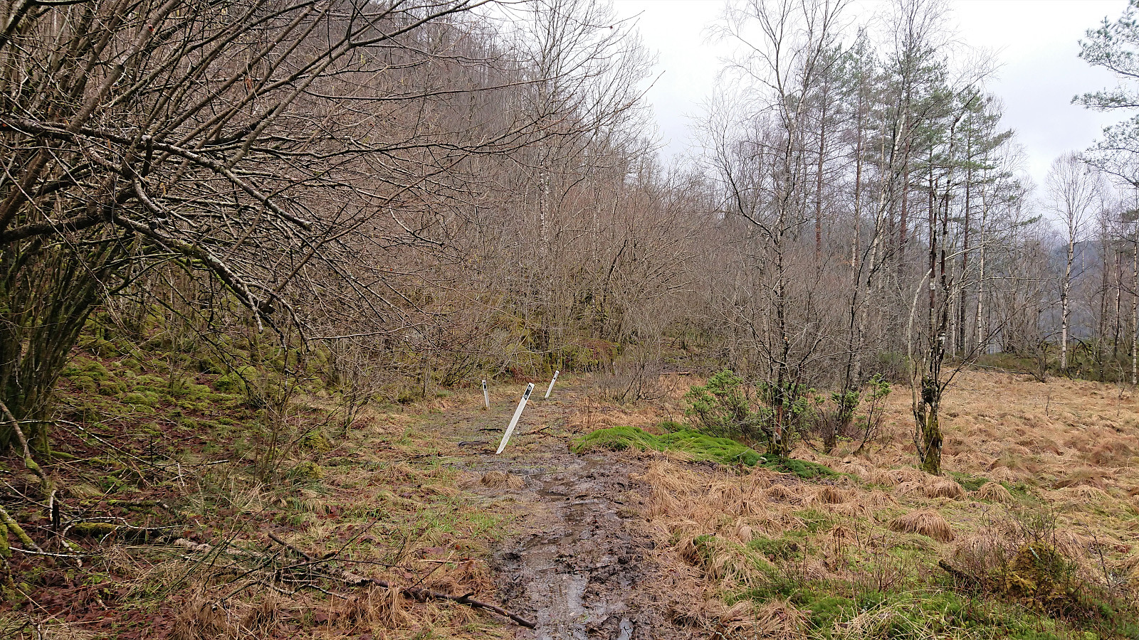
Started by taking the bus (and ferry) to Kilen (bus stop "Kilen kryss") and easily located the unmarked trailhead for Hovden after passing by the house with the address Hålandsvegen 1004. Shortly there were several trail options to choose from. I decided to follow what looked like the most used option, taking me east and then north, before finally turning west towards the summit.
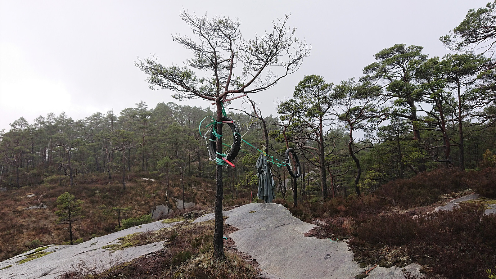
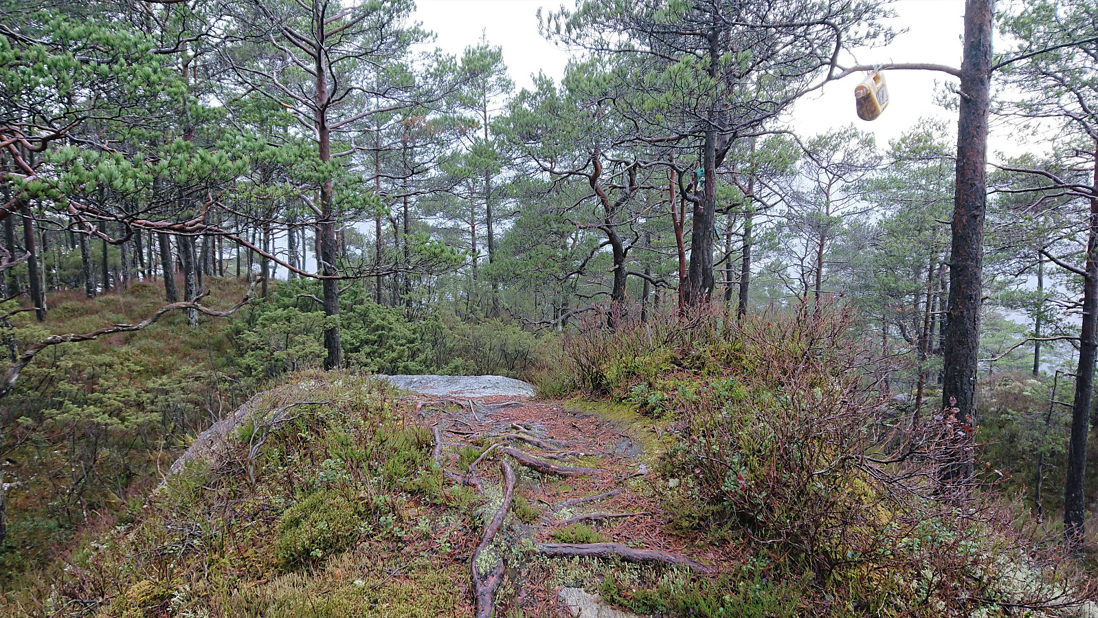
Did not take long before I came across the very unusual trail markers, mainly consisting of various plastic road markers of different shapes and sizes, but also with other odd objects thrown in. It made for an interesting hike, but there are clearly better ways to mark trails.
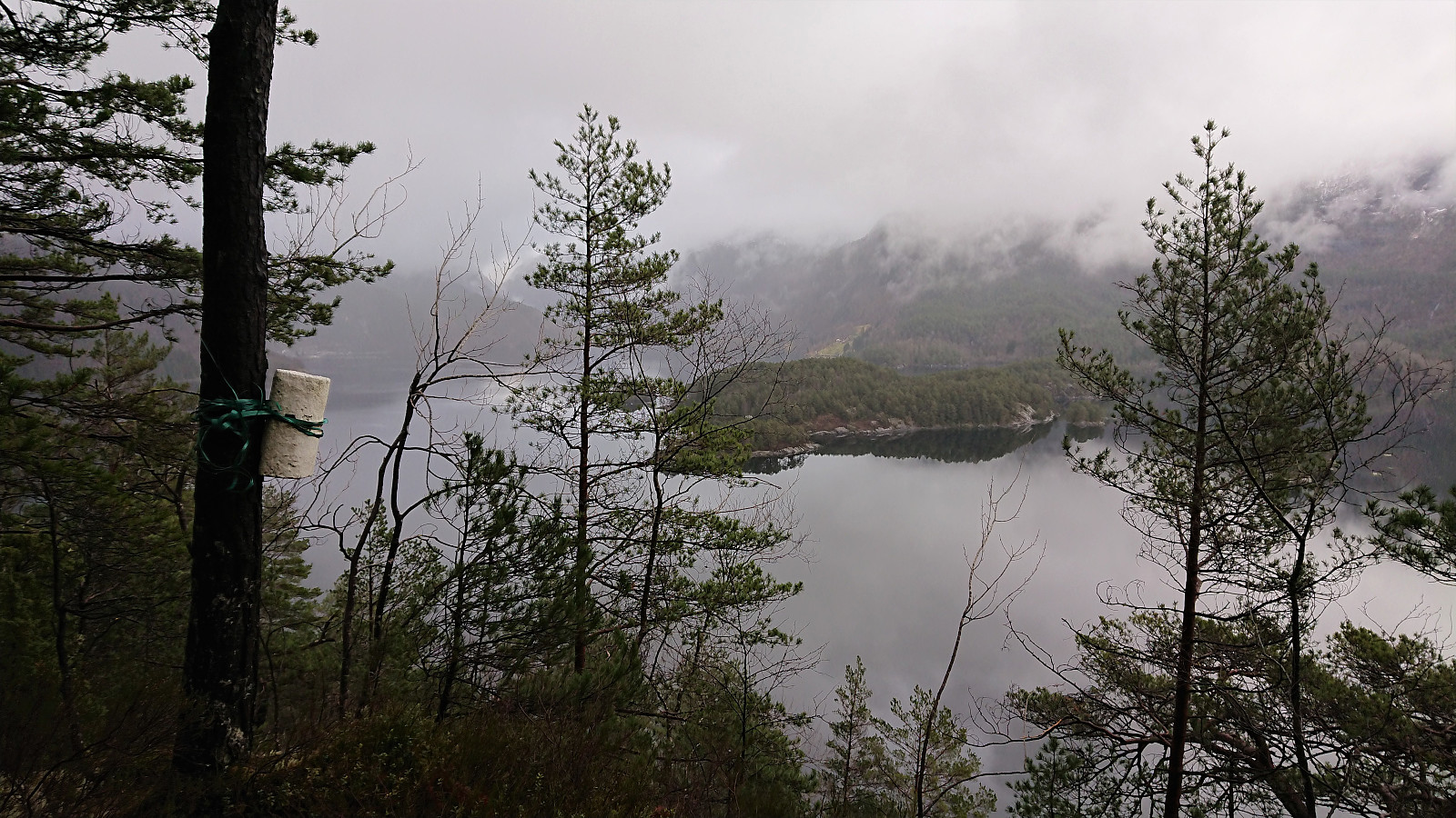
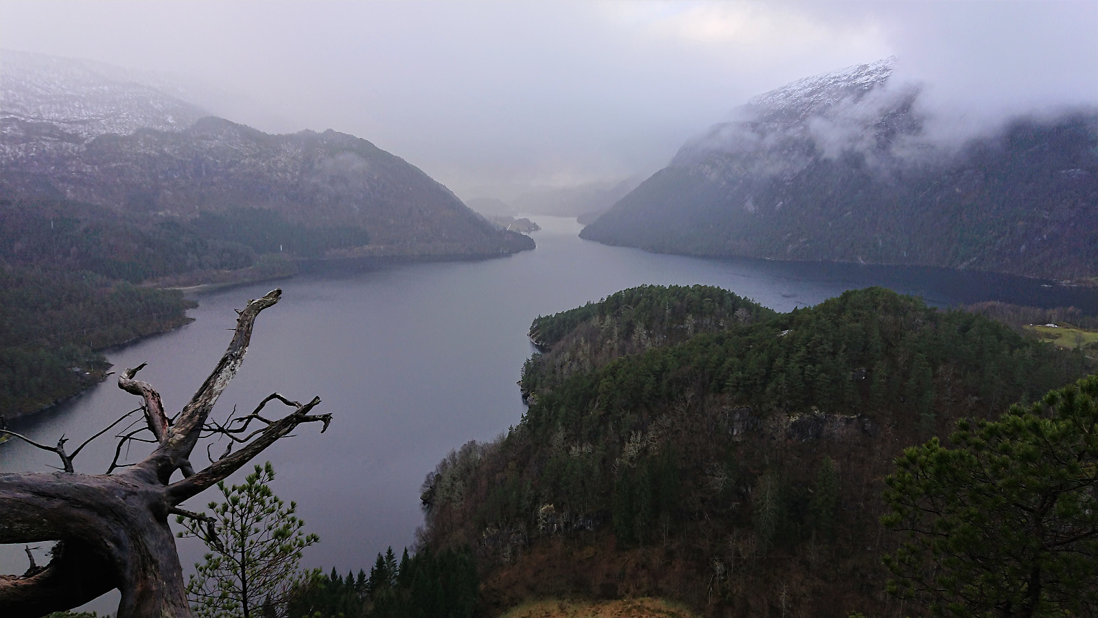
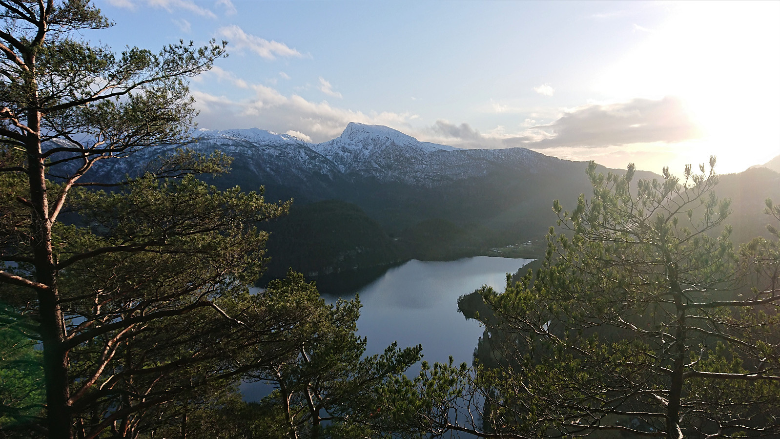
The trail can most likely be followed all the way to the summit, but I lost it just as it started raining/snowing, and from there I simply headed straight for the highest point, reconnecting with the trail at the end. Limited views from the summit, but much better views, in particular of Henangervatnet, could be obtained 100 meters (along a trail) to the west.
From the viewpoint, I followed a weak trail southeast, with several nice views along the way, assuming this would be a shortcut back to the main road. But the trail later disappeared, and given that it was clearly too steep to find my own shortcut south, I rather tried to return to the trail I had used on the ascent. This was slightly trickier than expected, but did not present any real challenges either. Finally back on the trail, and with the sun now shining, I was soon back on the main road.
Storåsen
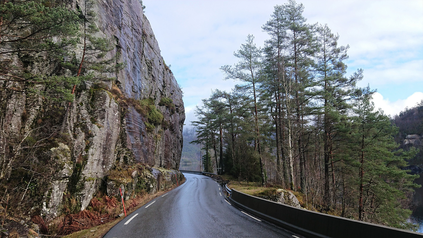
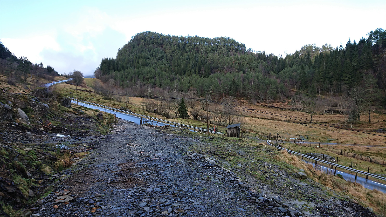
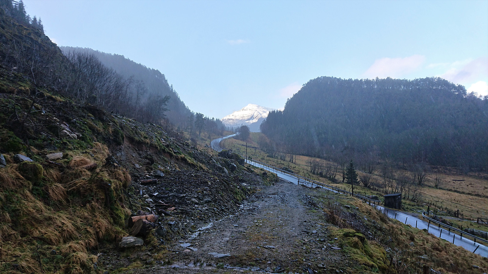
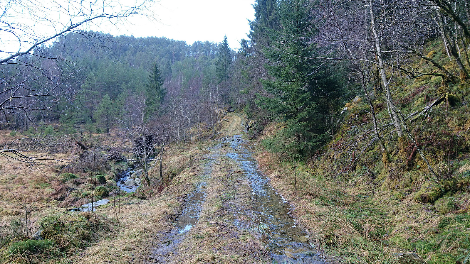
The walk from Kilen to the tractor road marking the trailhead for Storåsen (above Bjørndal) was only about 3 km, and the first part was straightforward. The latter part after passing Drageid was however not that pleasant, with high-speed traffic (although thankfully not that much of it) on a relatively narrow road and with next to no space next to the road. For safety I therefore decided to walk on the wrong side of the road, i.e. the right-hand side. At least that way the drivers would see me better when coming around the thight corners.
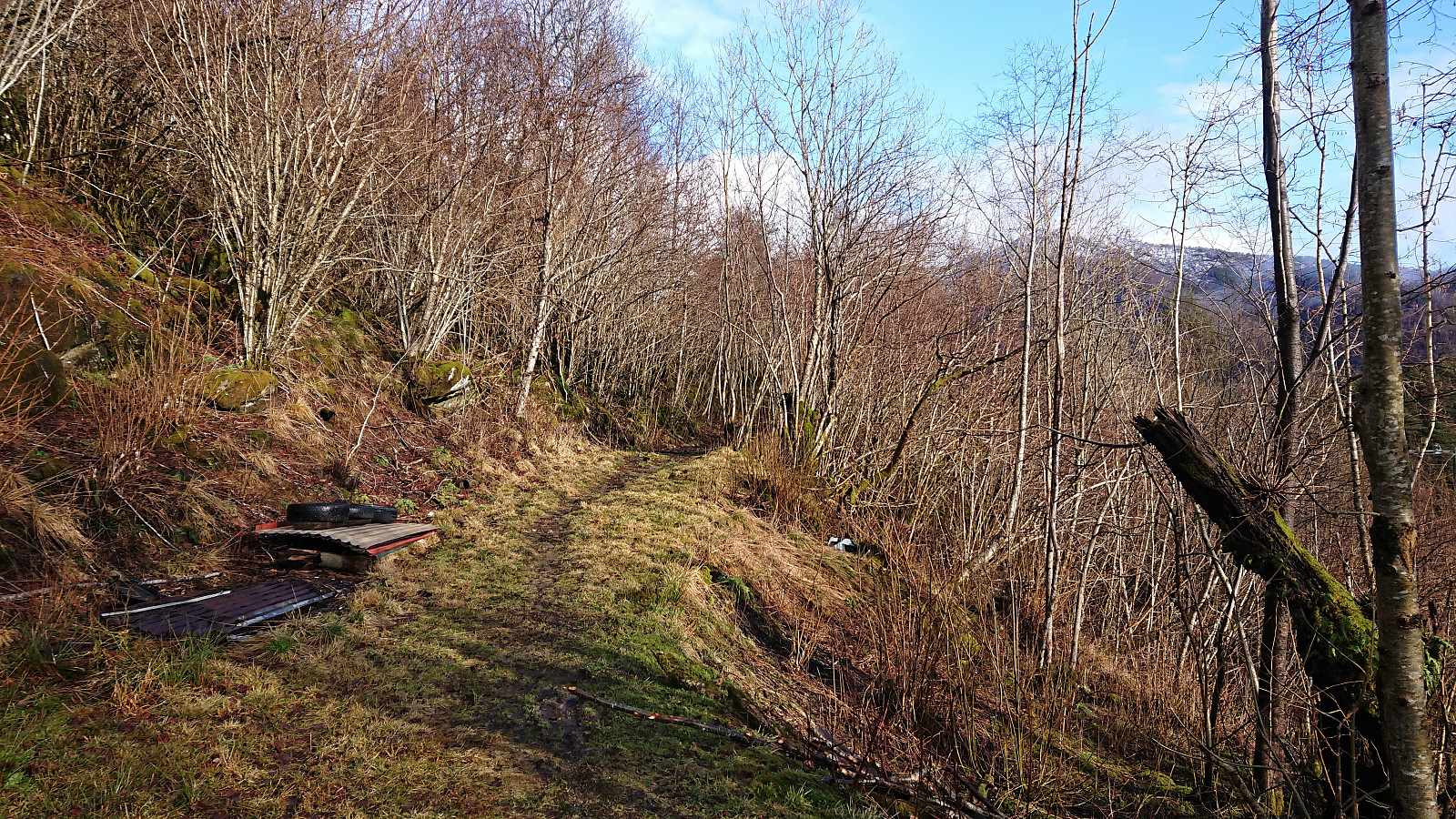
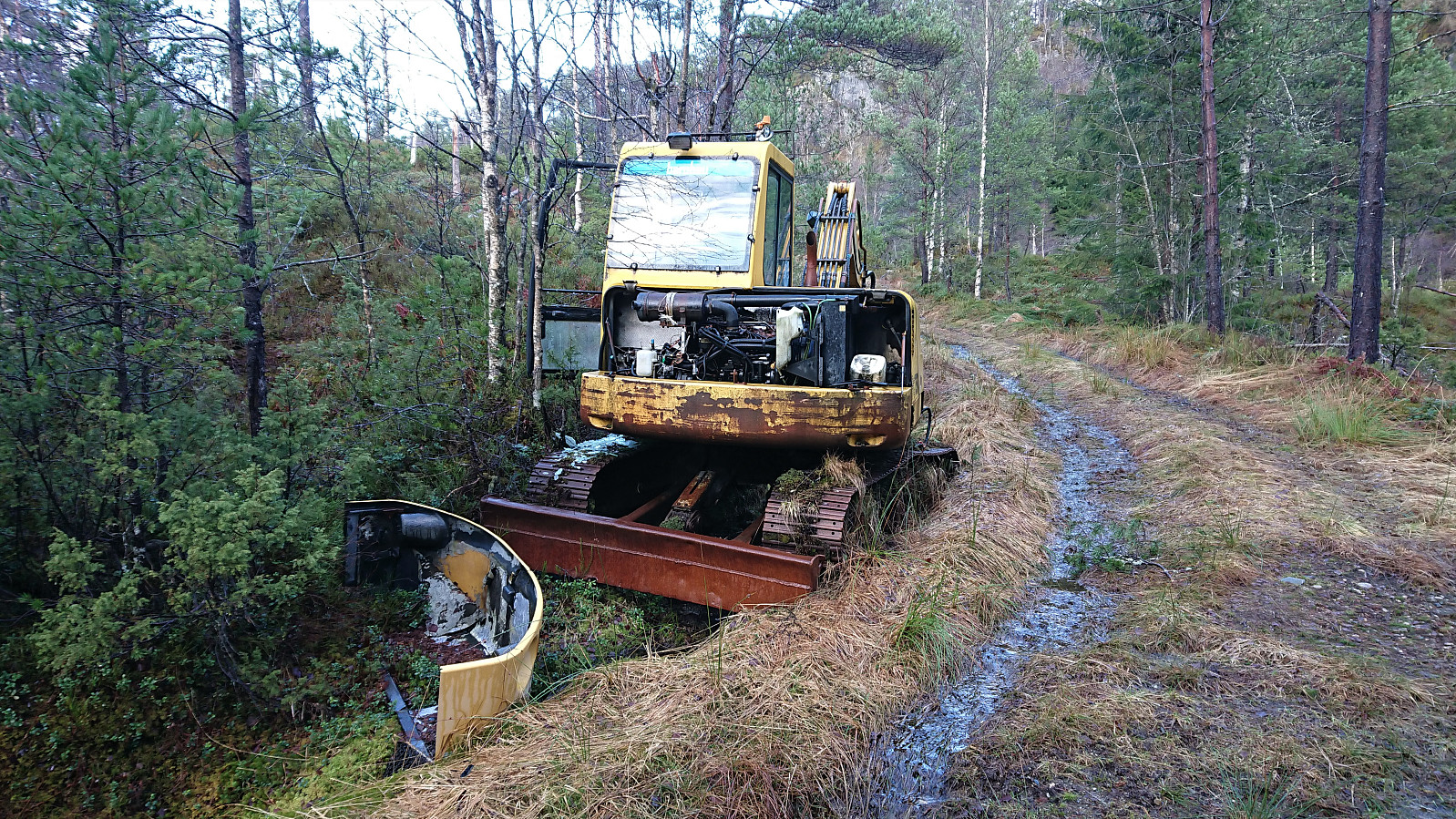
I was therefore relieved when I arriving at the tractor road and could leave the traffic behind. The steep tractor road also greatly simplified the first part of the ascent towards Storåsen, and when it came to an end, it was straightforward to reach the summit from there. I even came across several trails/animal tracks along the way.
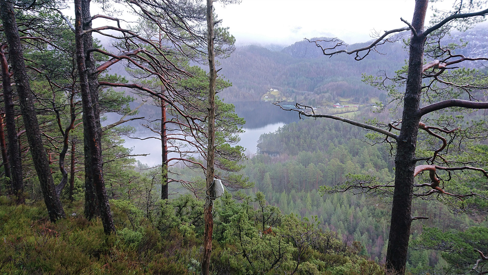
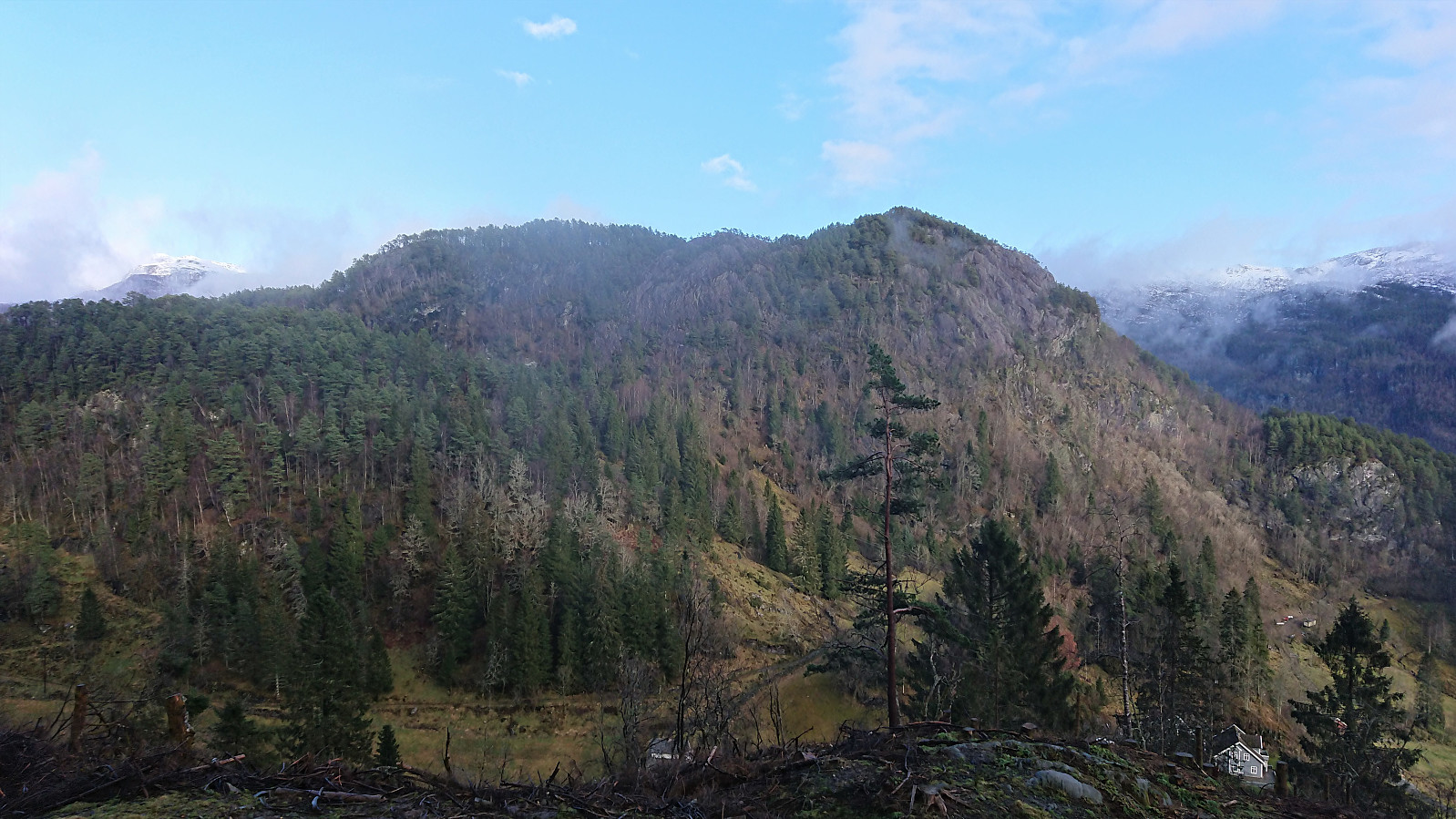
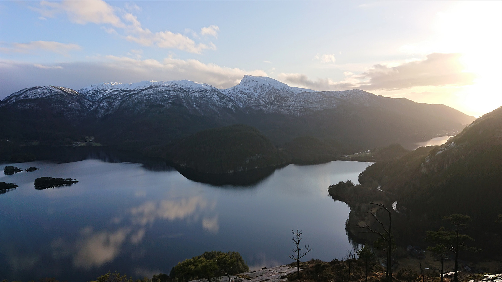
The summit provided limited views, but I did not have to move more than a couple of meters from the summit, before obtaining excellent views south towards Våganipen. Rødsfjellet could also be spotted in between the trees to the west, and Ottanosi (and more) to the north. In fact, the views would probably have been very good if not for all the trees.
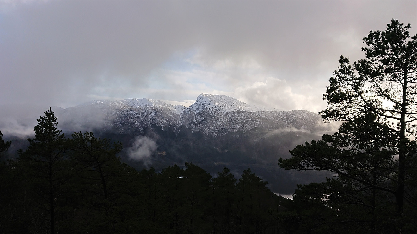
After waiting for the fog to lift so that I could get a proper picture of Våganipen, I returned along more or less the same route, only having to soon stop to once again put on my raingear, for what thankfully turned out to be a short shower.
Russåsen
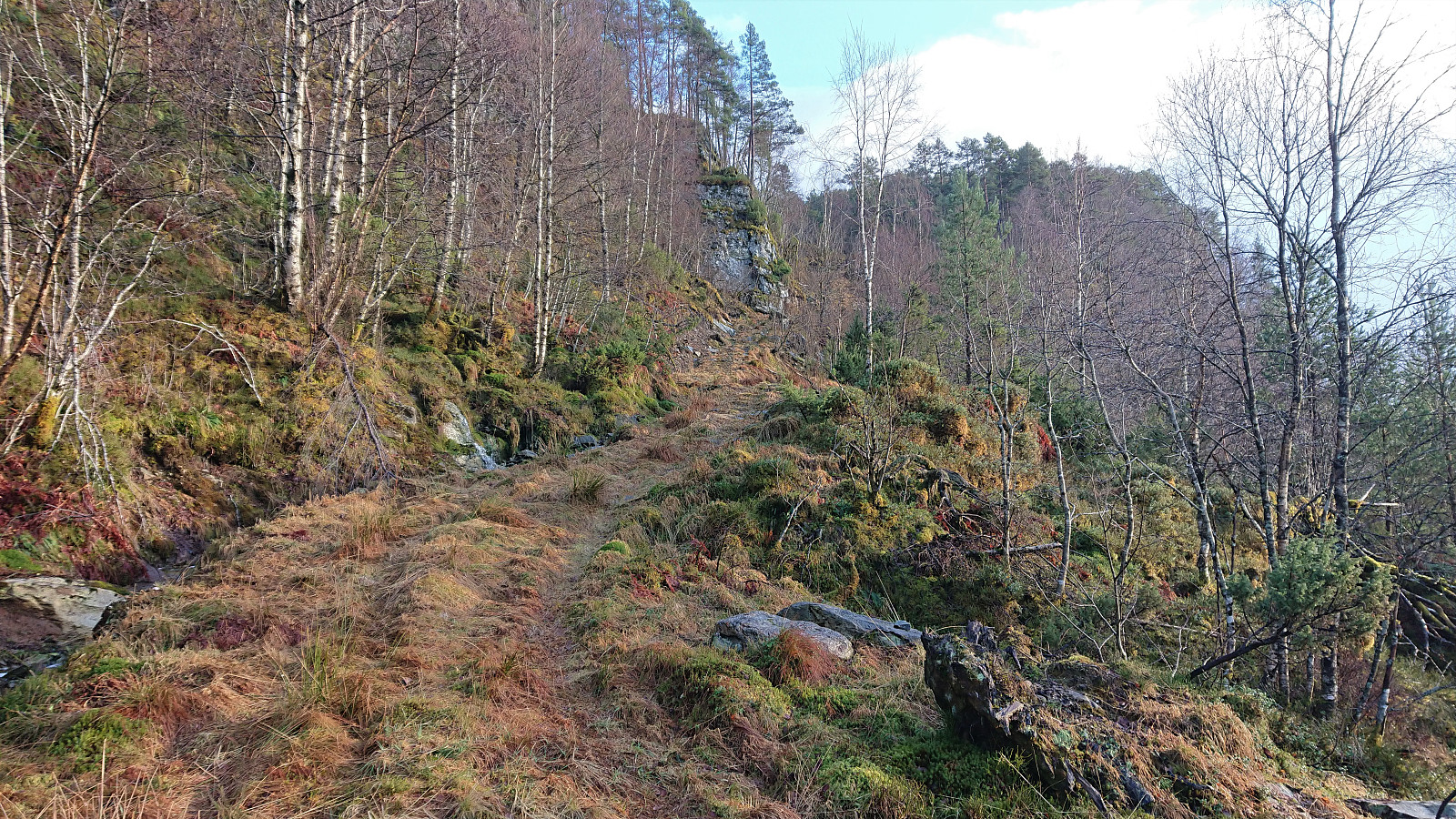
Upon reaching the main road, I still had plenty of time for the last goal of the day: Russåsen. I knew that I would be able to follow a tractor road for the first part, but was positively surprised when the tractor road continued almost all the way to the top of Rusåsilaget, leaving only about 500 meters and less than 100 vertical meters to the summit.
There were several deer tracks that could probably have been followed, but I just aimed straight for the highest point. When reaching the plateau north of the summit, I was rewarded by excellent unobstructed views to the north, including Ottanosi and Gjønakvitingen, and from there the summit was easily reached.
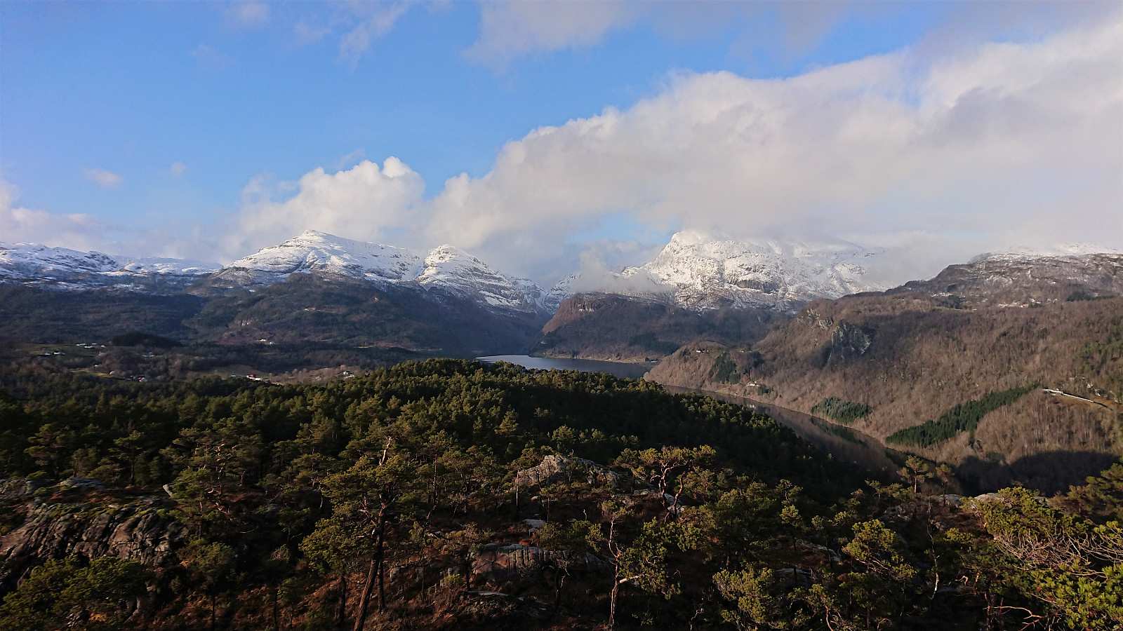
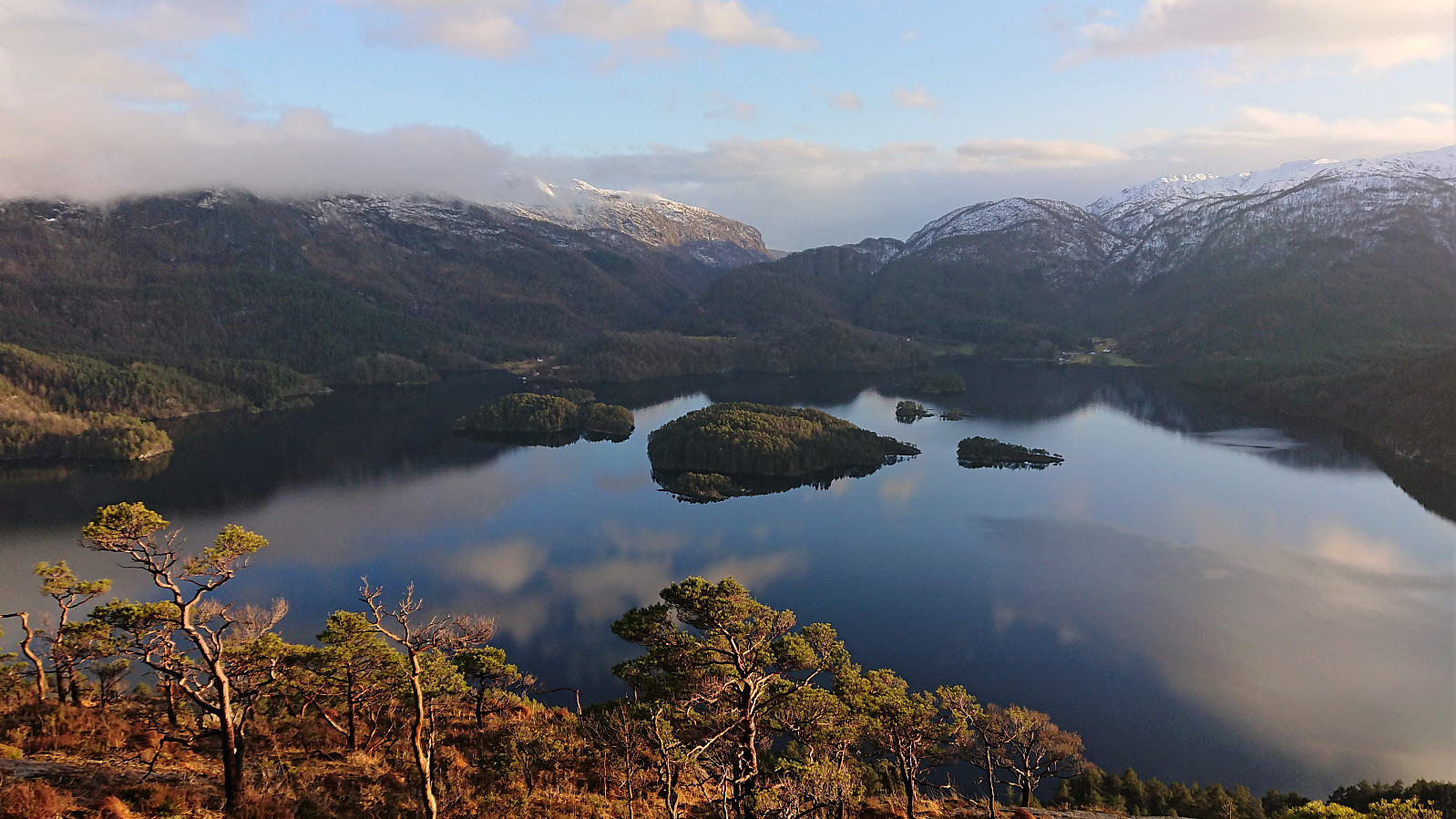
The summit itself provided very limited views, so I continued south. This turned out to be a success, resulting in excellent views across Skogseidvatnet and all of the higher mountains to the south. I enjoyed the views during a quick lunch, before returning to the summit to make sure that I had indeed visited the highest point, of which there were at least two tree-covered candidates to choose from.
All that remained was now to return to the main road and from there head south to the bus stop at Bjørndal, which I reached with 15-20 minutes to spare, after having taken it easy on the descent in order to try to reduce the waiting time.
Conclusion
Overall a very nice hike that can generally be recommended. The exception being the walk along the road from Kilen to Bjørndal, although even that part included some nice views. All of the three summits could be easily reached and all of them provided better views than expected, at least if one is willing to move beyond the summits themselves.

| Start date | 23.02.2020 12:47 (UTC+01:00) |
| End date | 23.02.2020 17:16 (UTC+01:00) |
| Total Time | 4h 29min |
| Moving Time | 3h 58min |
| Stopped Time | 0h 30min |
| Overall Average | 3.0km/h |
| Moving Average | 3.4km/h |
| Distance | 13.6km |
| Vertical meters | 979m |


User comments