
Lyderhorn biked&hiked (23.11.2019)

Written by HHauser (Helwig Hauser)

| Start point | Varden (45m) |
|---|---|
| Endpoint | Varden (45m) |
| Characteristic | Bike trip - mixed |
| Duration | 2h 30min |
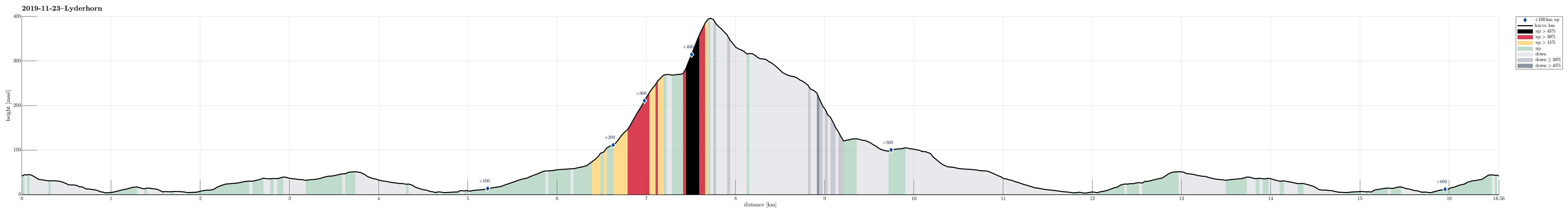
| Distance | 16.6km |
| Vertical meters | 631m |
| GPS |
|
| Ascents | Lyderhorn (396m) | 23.11.2019 |
|---|---|---|
| Visits of other PBEs | Små-Lyderhorn (273m) | 23.11.2019 |
Trip Summary
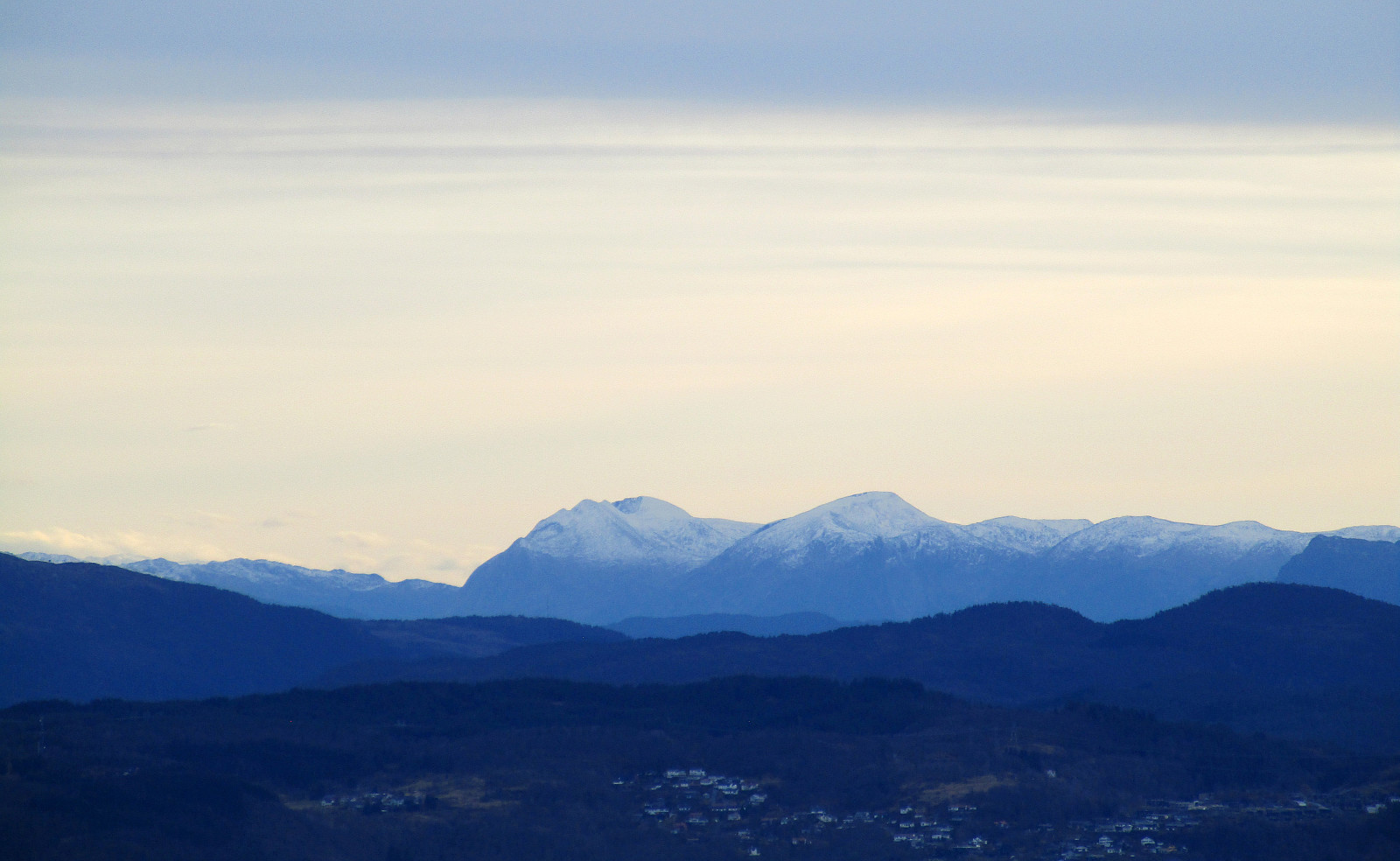
This time, we decided to combine a little bike trip with a short hike up and down Lyderhorn. We started from Varden in the south of Fyllingsdalen and biked along Bjørgeveien into the direction of Loddefjord. After passing by Vestkanten at Loddefjord, we continued further northwards along Lyderhornveien in the west of Skarpafjellet. After crossing over the highway, we biked further upwards along Kjøkkelvikveien, passing by Kjøkkelvik school. We left our bikes at the place, where we met Lyderhornslien. From there, we hiked the main trail up in southeastern direction, heading towards Små-Lyderhorn, first. This time, we also took a few extra minutes to actually step up to the "top" of Små-Lyderhorn. There, we enjoyed a better view than expected, so it is in fact worthwhile to do this minimal detour. After our short detour to Små-Lyderhorn, we continued up to Lyderhorn. From there, we continued further norwards, along the northern ridge of Lyderhorn. Before getting to Høgenuten, we turned left and hiked down a trail that leads to Nedbergelien. From there, we walked back to our bikes along Nedbergelien, Kjøkkelvikbrekkene, and Lyderhornslien. Once back on our bikes, we returned along the route that we in the beginning had taken towards Lyderhorn.
Photos
Selected photos are available as Google photo album.
Useful Resources
See also the related FB-page Hiking around Bergen, Norway.
Web page WestCoastPeaks.com provides useful information about Lyderhorn and Ørnafjellet
and also Petter Bjørstad has a page about Lyderhorn.
On Bergentopp 200 there is a page (in Norwegian) about Lyderhorn.


User comments