
Andershovden, Grauaåsen and Sonvesåsen (10.11.2019)

Written by hbar (Harald Barsnes)

| Start point | Voss stasjon (58m) |
|---|---|
| Endpoint | Voss stasjon (58m) |
| Characteristic | Hillwalk |
| Duration | 6h 37min |
| Distance | 30.4km |
| Vertical meters | 1,336m |
| GPS |
|
| Ascents | Andershovden (393m) | 10.11.2019 |
|---|---|---|
| Grauaåsen (472m) | 10.11.2019 | |
| Sonvesåsen (654m) | 10.11.2019 | |
| Visits of other PBEs | Svartaberget (526m) | 10.11.2019 |
| Voss stasjon (58m) | 10.11.2019 |
Andershovden, Grauaåsen and Sonvesåsen

Andershovden
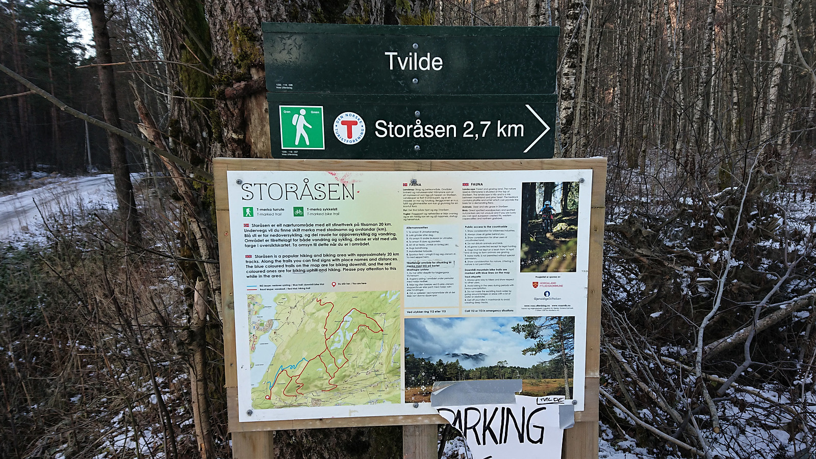
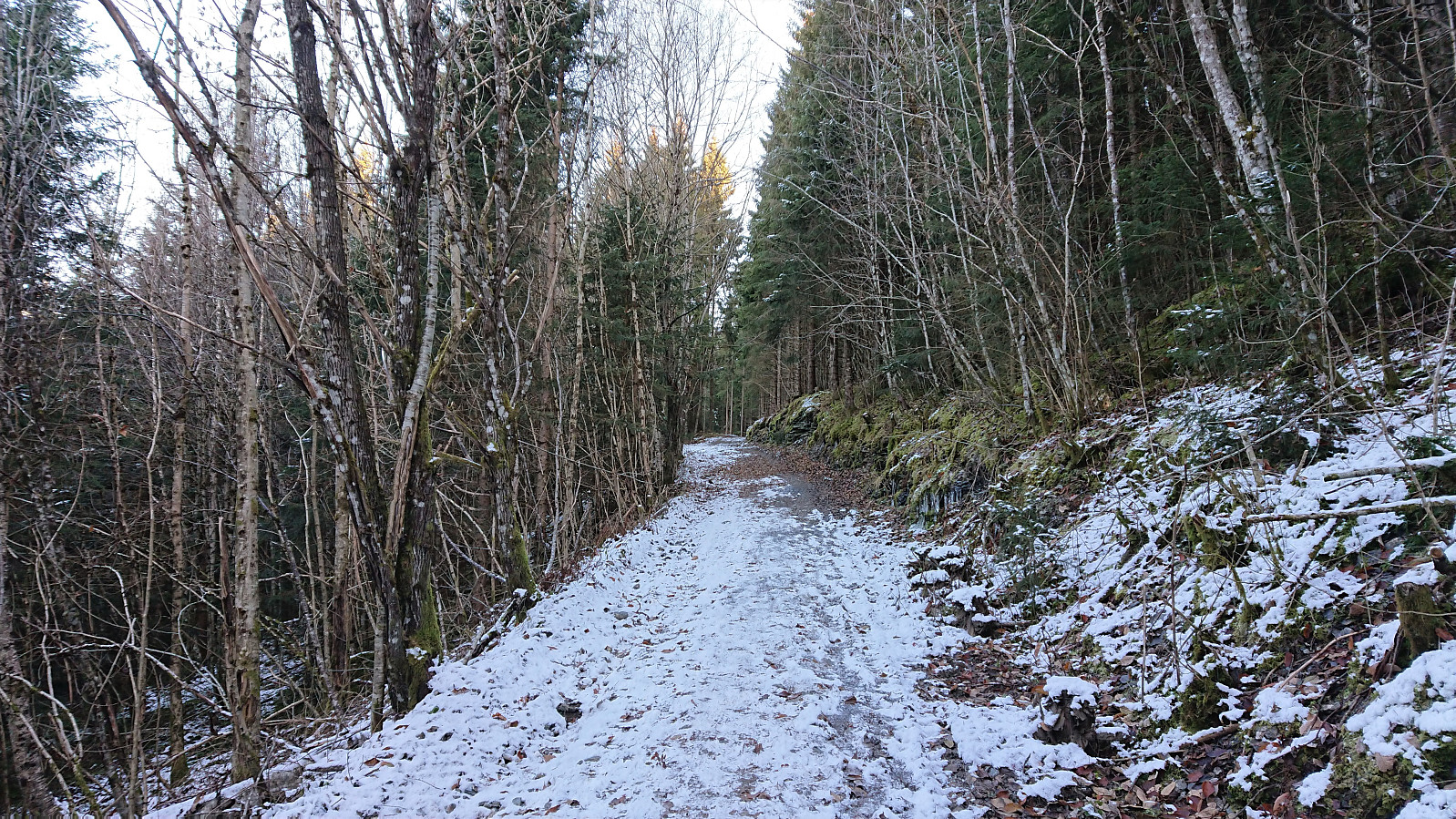
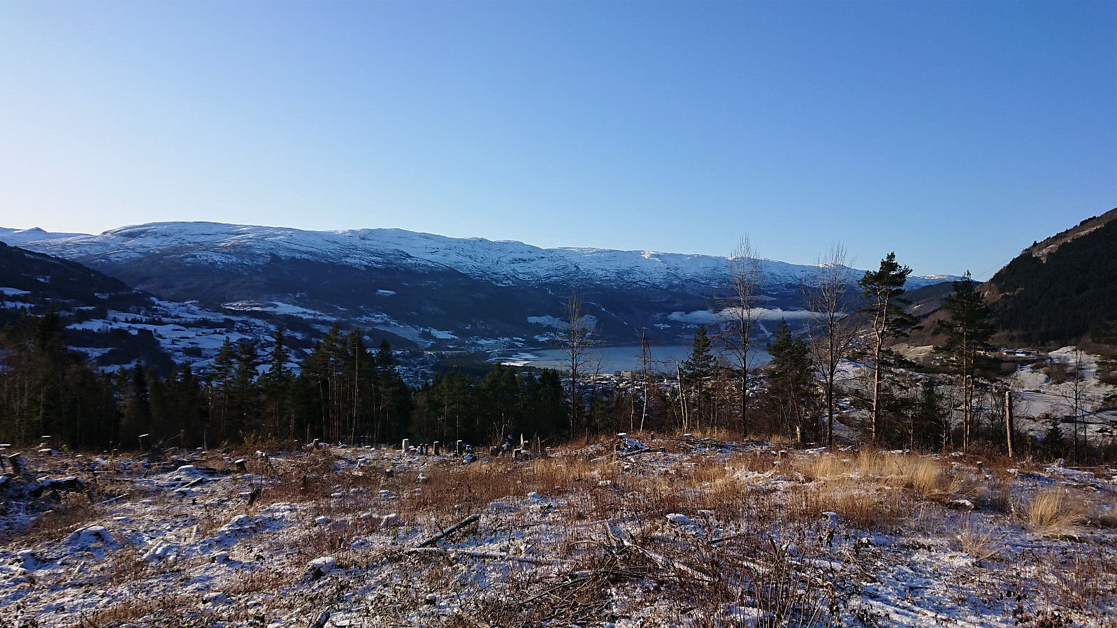
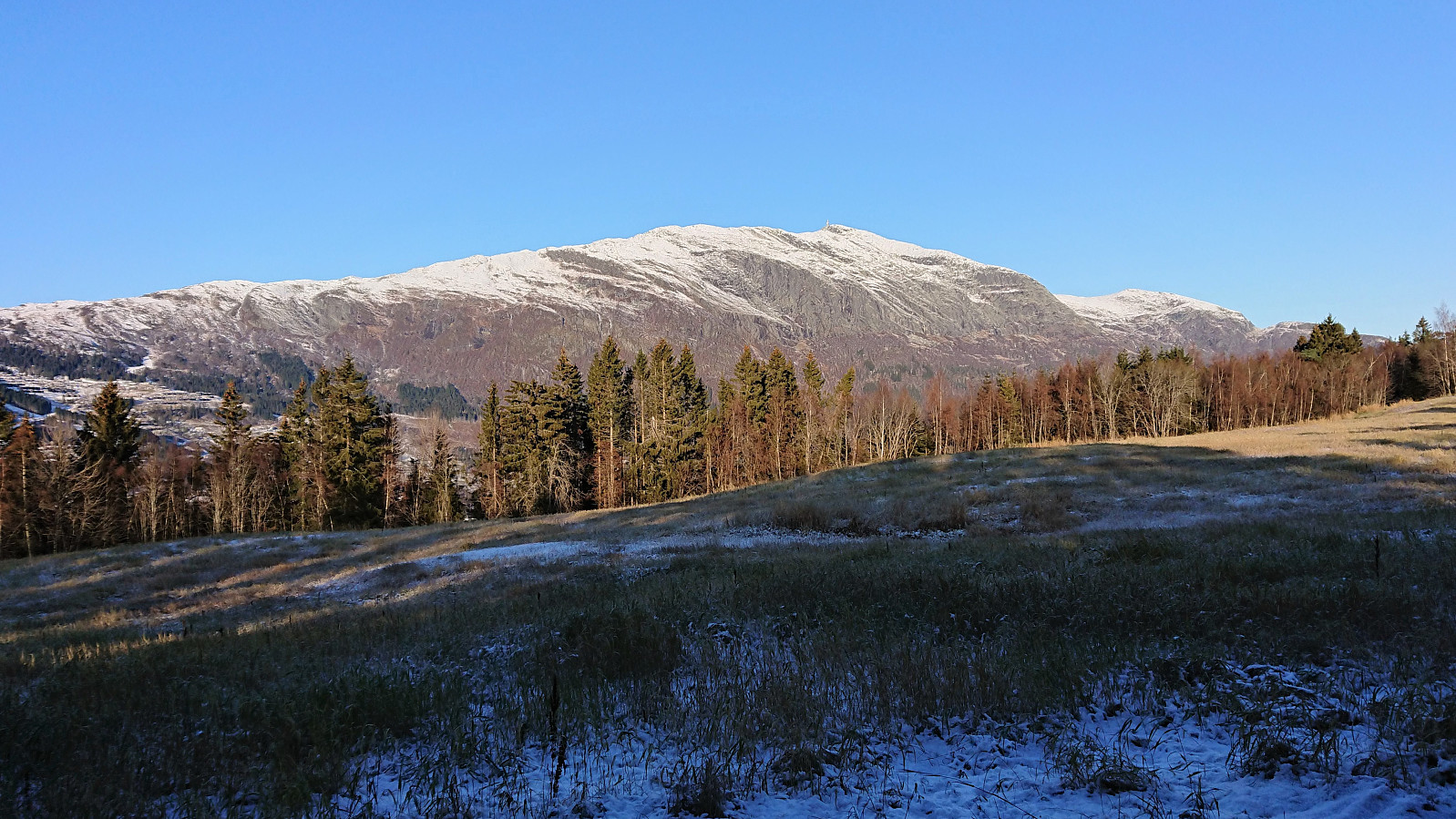
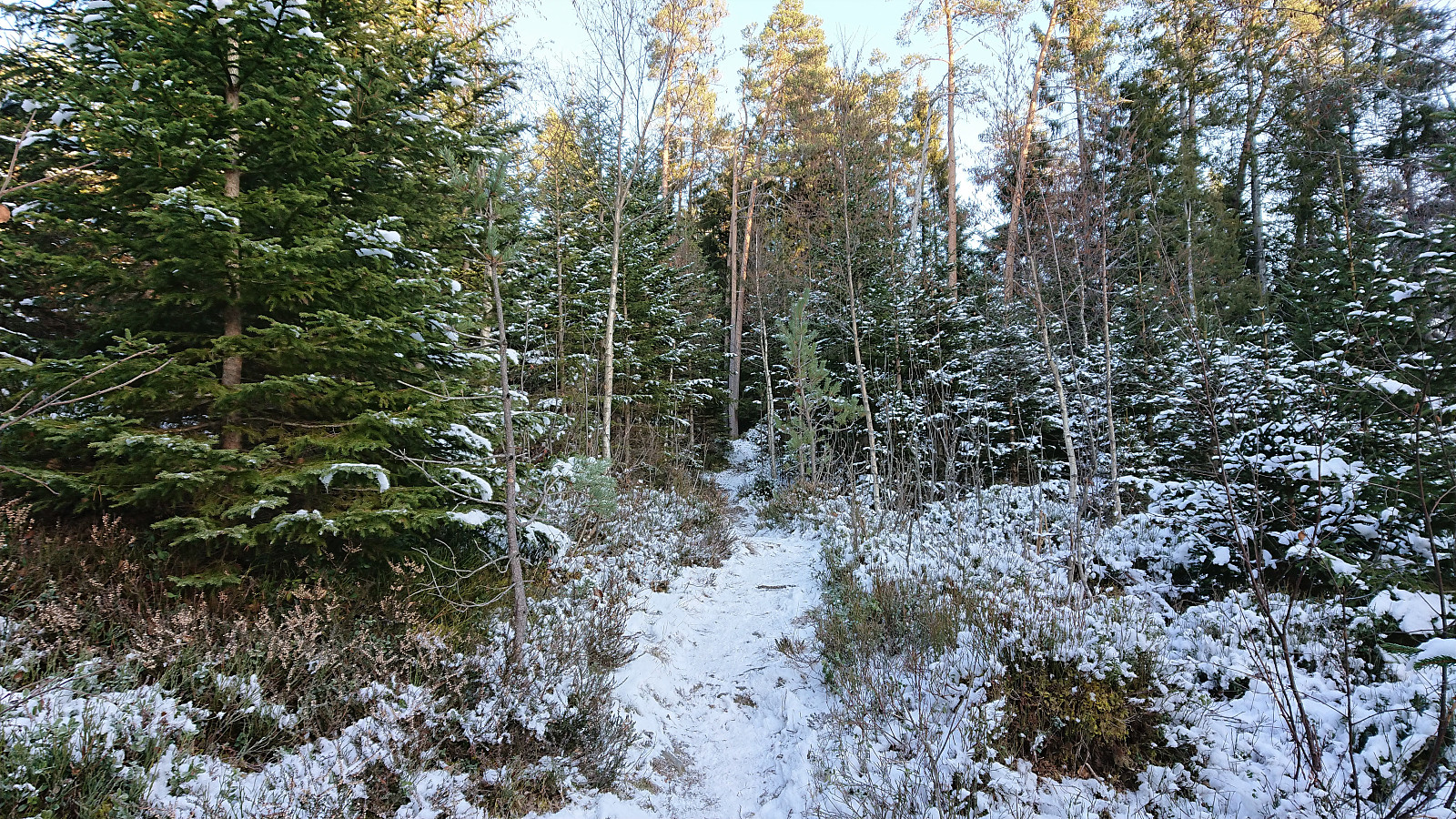
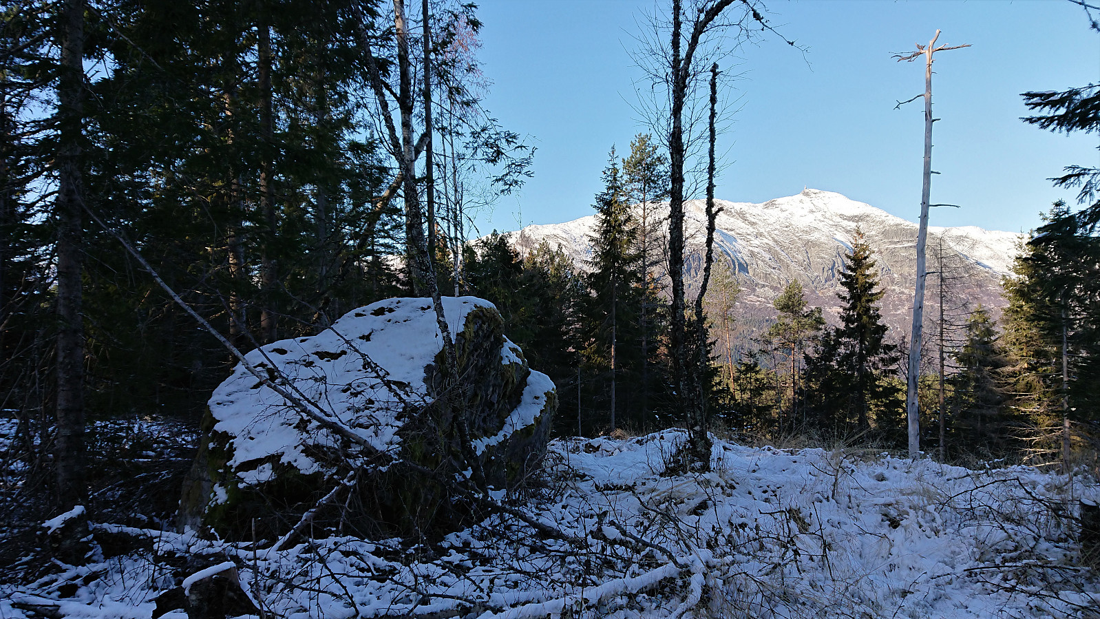
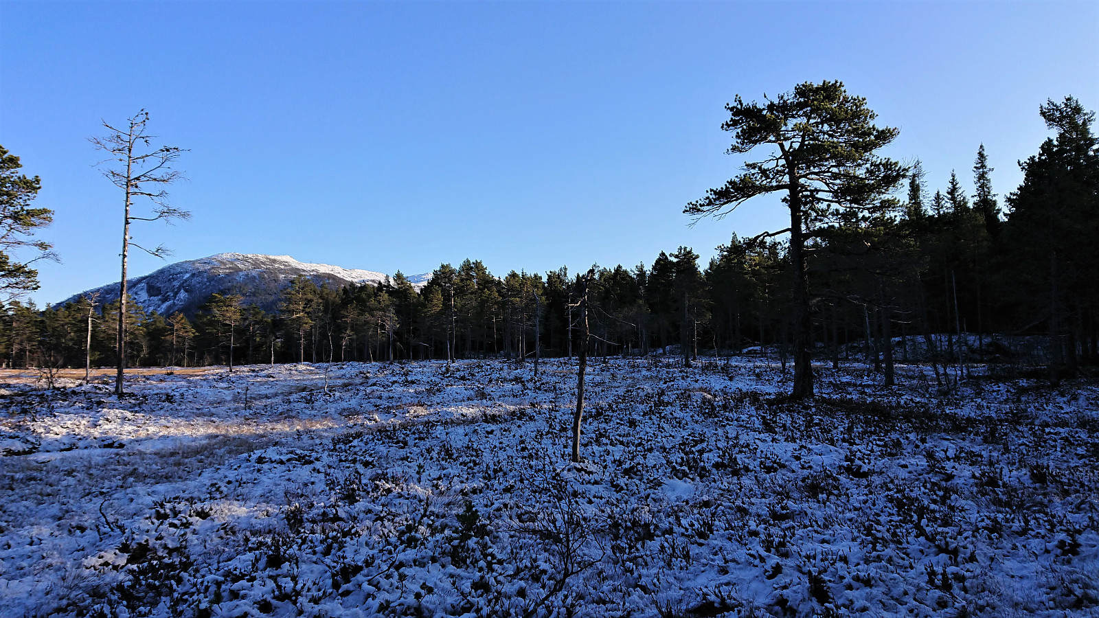
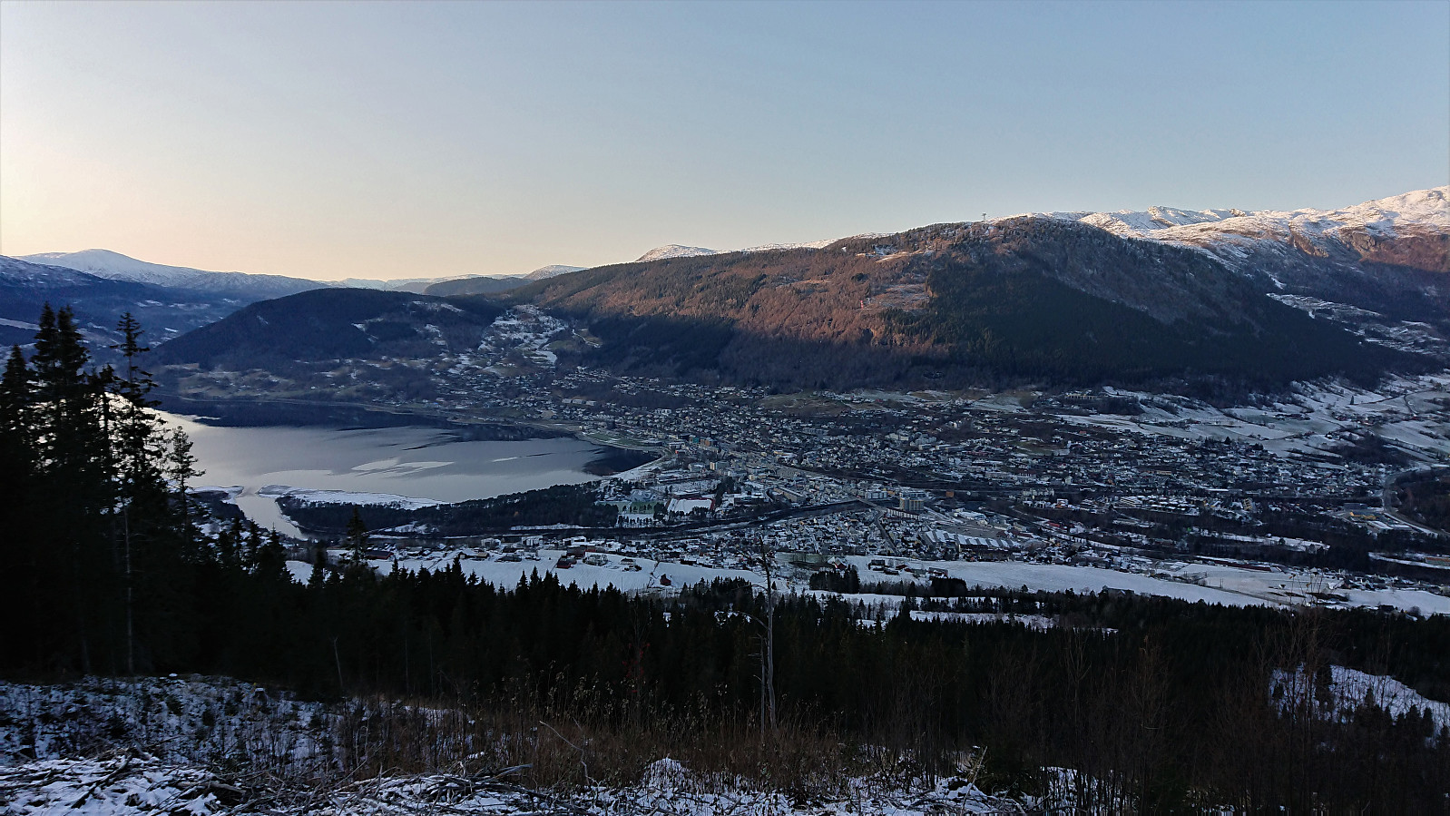
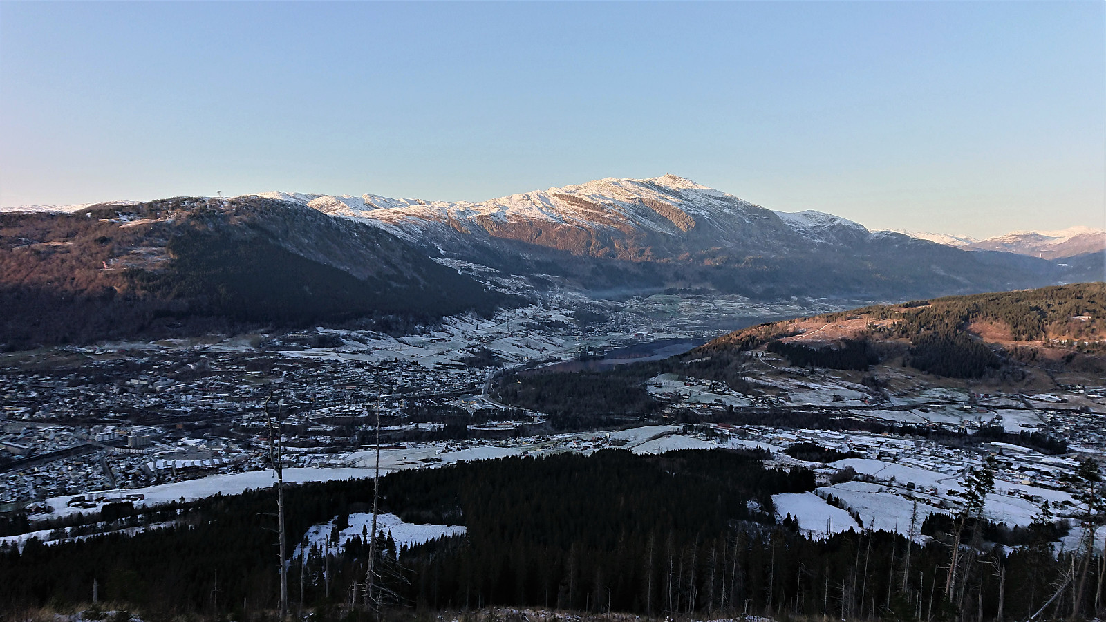
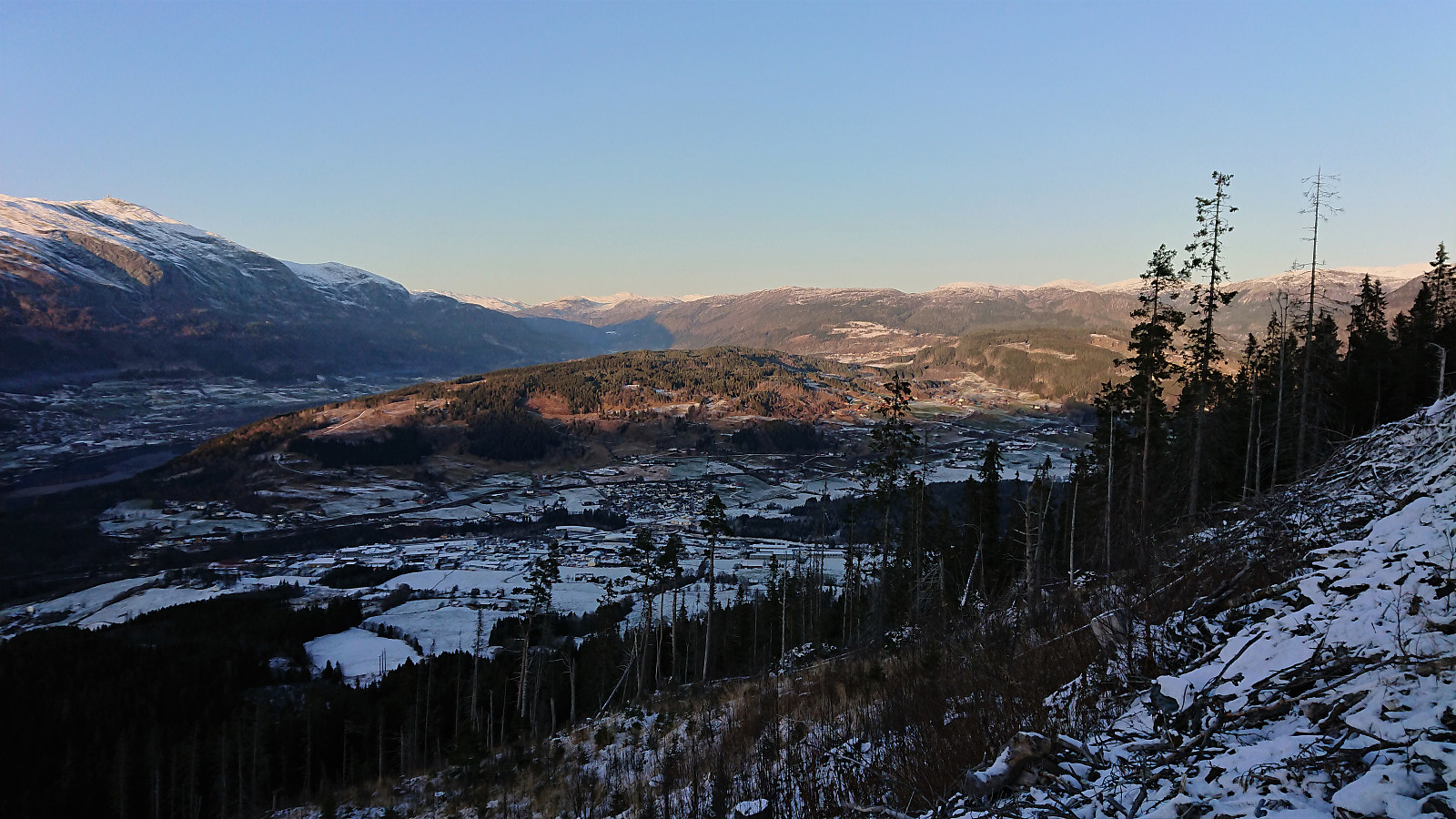
After exiting the train at Voss, I walked along the roads to Tvilde where I easily located the marked trailhead. By following the signs for Storeåsen, first along a gravel road and later a long various trail, the progress was straightforward and with some excellent views towards Lønahorgi along the way (which would turn out to be a familiar element throughout the rest of the hike).
Storeåsen itself was not marked, and I did not bother locating the summit. North of Storeåsen, where the trail connected with a gravel road, there was another information sign, from which I followed the trail towards Gudleikstreet, taking me through the Håmyrane nature reserve. (As it turned out, I could also simply have followed the gravel road north for a couple hundred meters and reconnected with the same trail there.)
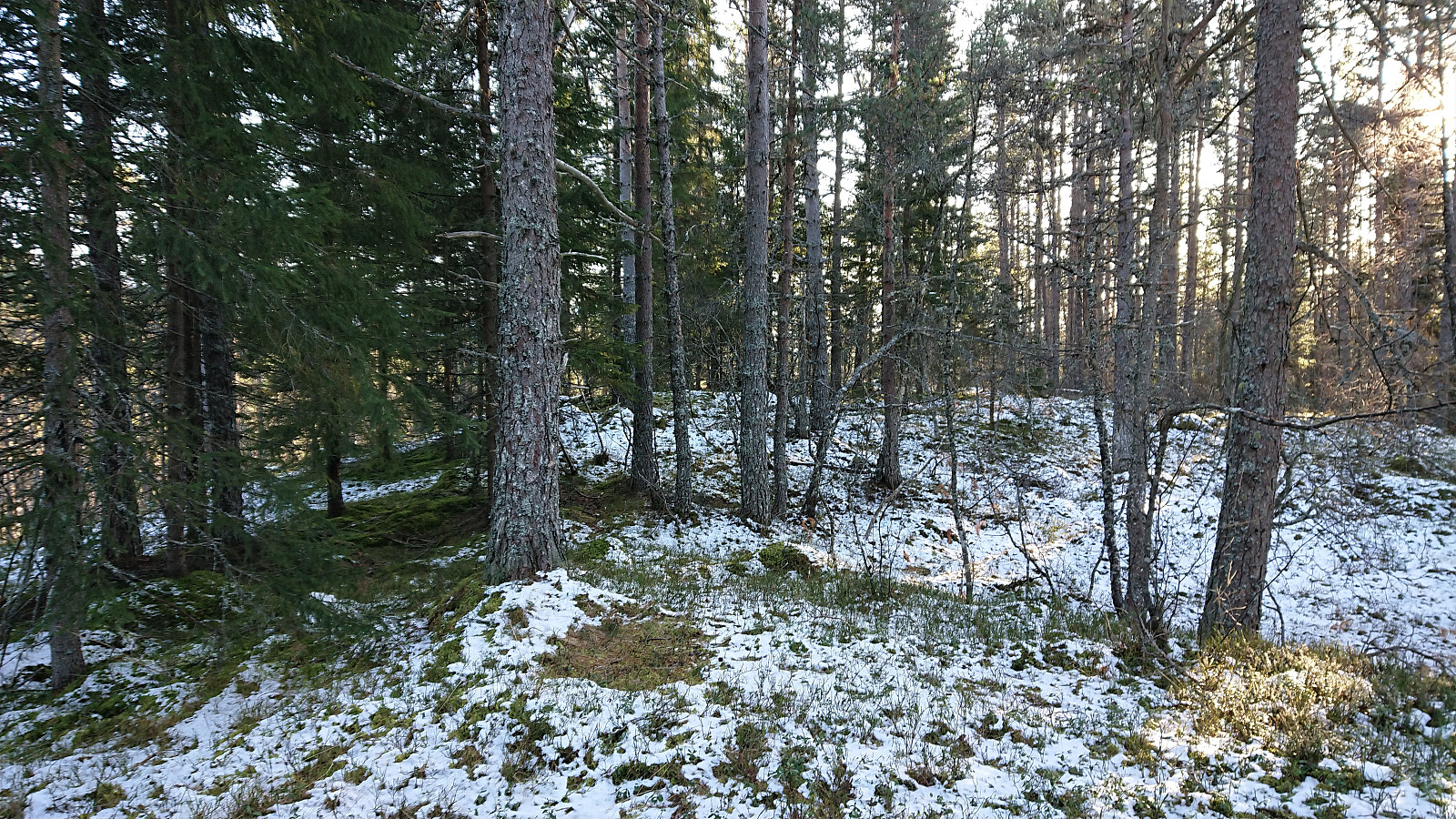
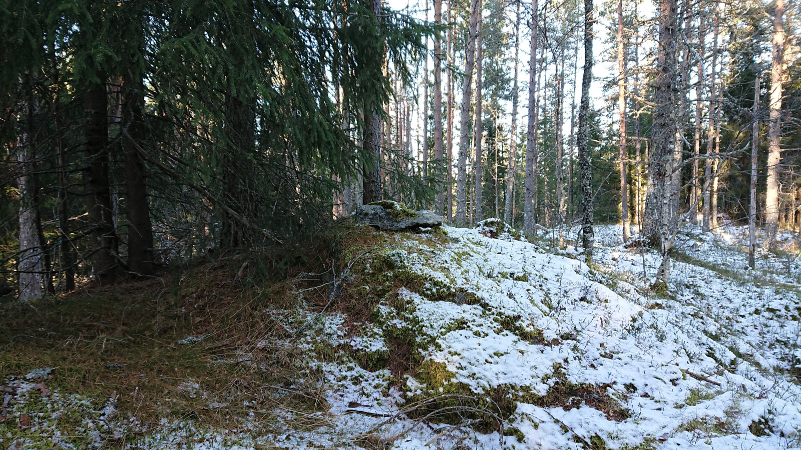
The trail took me west, and later north, of Andershovden, but I did not see any trails towards the summit. I decided to stay on the trail, although losing a bit of height, until making a U-turn west up a tractor road, taking me about 150 meters from the summit, which was easily traversed due to most of the trees in this area having been cut down. Limited views from the summit, although Lønahorgi could be spotted in the distance. Did not stay long before returning to the trail and then onwards to the main road.
Grauaåsen
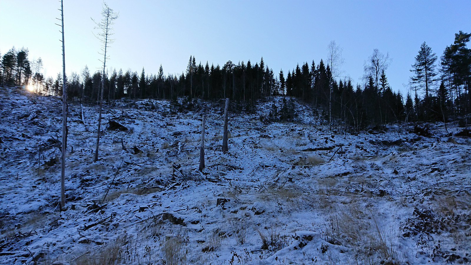
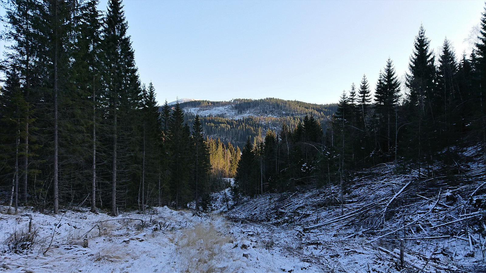
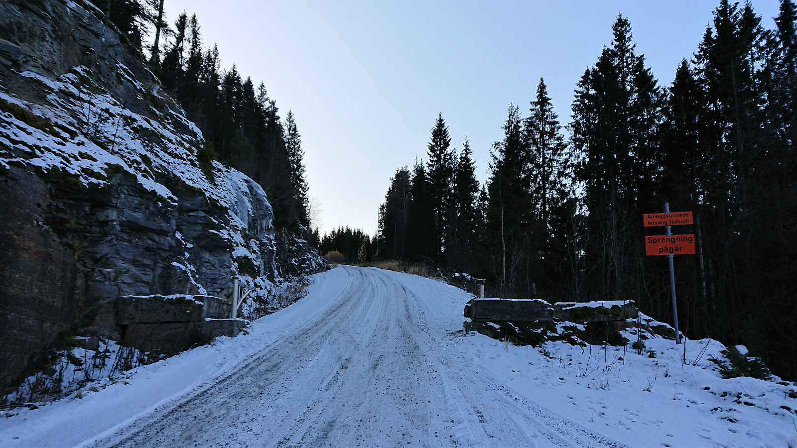
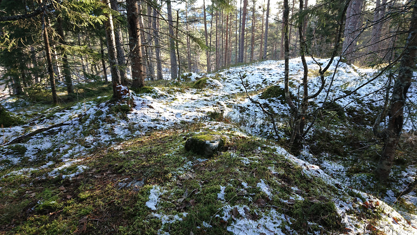
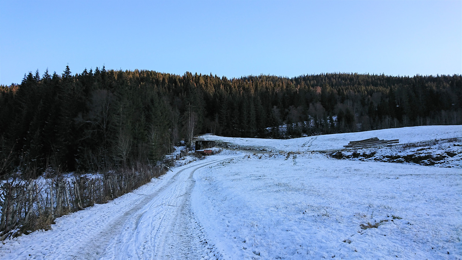
Upon reaching the main road in Vinjadalen, I simply crossed the road and began my ascent towards Grauaåsen. First along the road to the stone quarry at Gletten, but after coming across a “no admittance” sign, I left the road and instead made my own way towards the summit. Not the easiest terrain to traverse, but it did not provide any real difficulties either, and there were some nice views towards the west along the way.
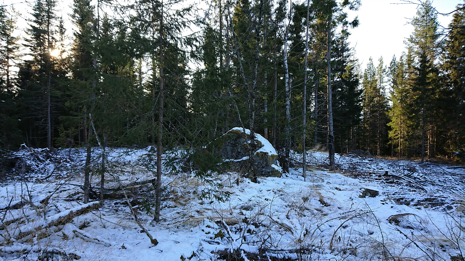
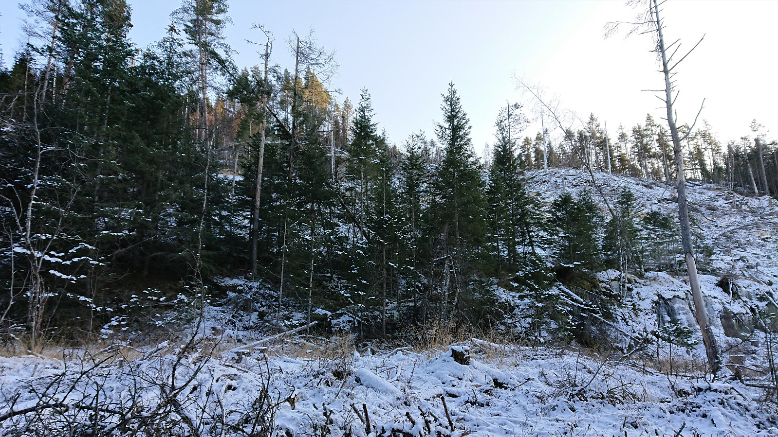
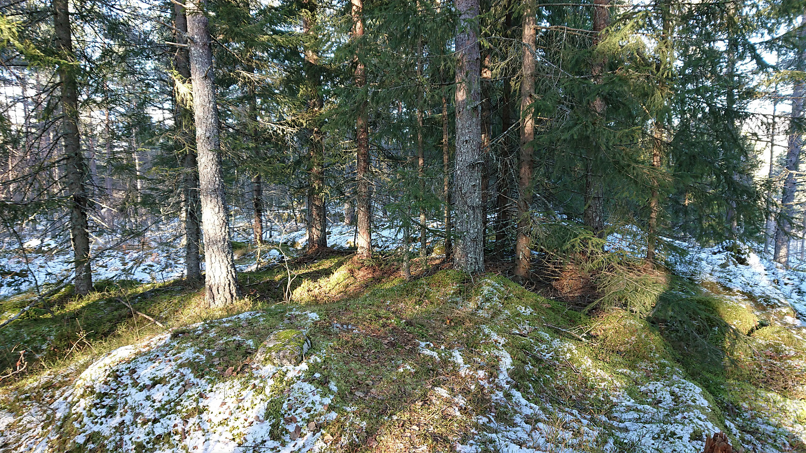
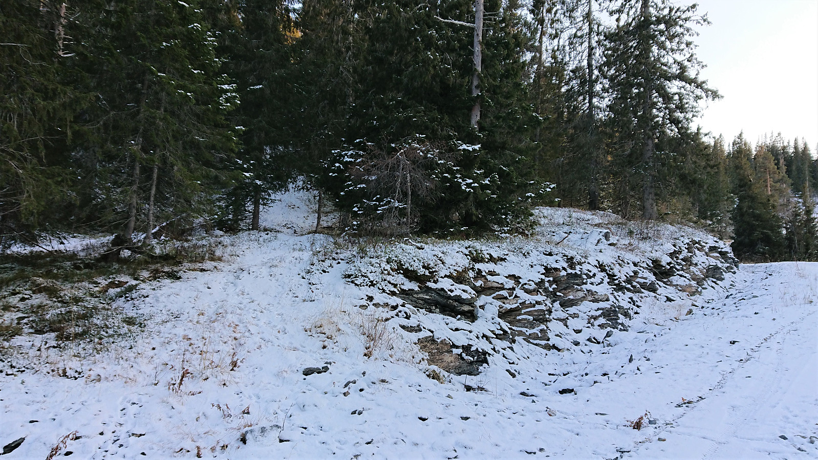
After a minor bush war, the terrain finally flattened out, and from there on it was straightforward to reach the summit, which sadly provided next to no views due to all the trees. After the usual pictures, I returned along the same route back down to the main road, which I then followed south and later southwest along the train tracks.
Sonvesåsen
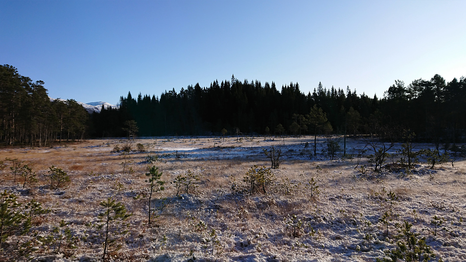
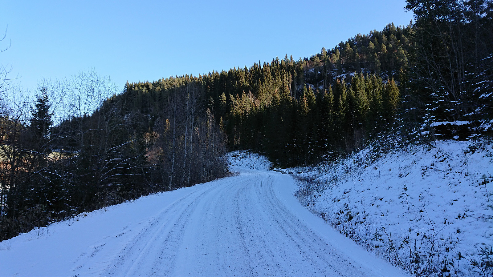
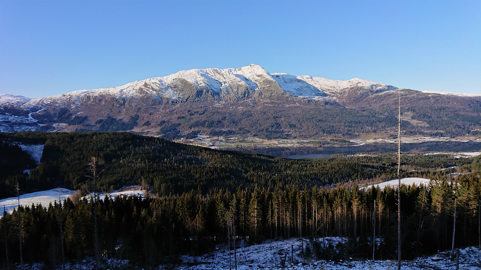
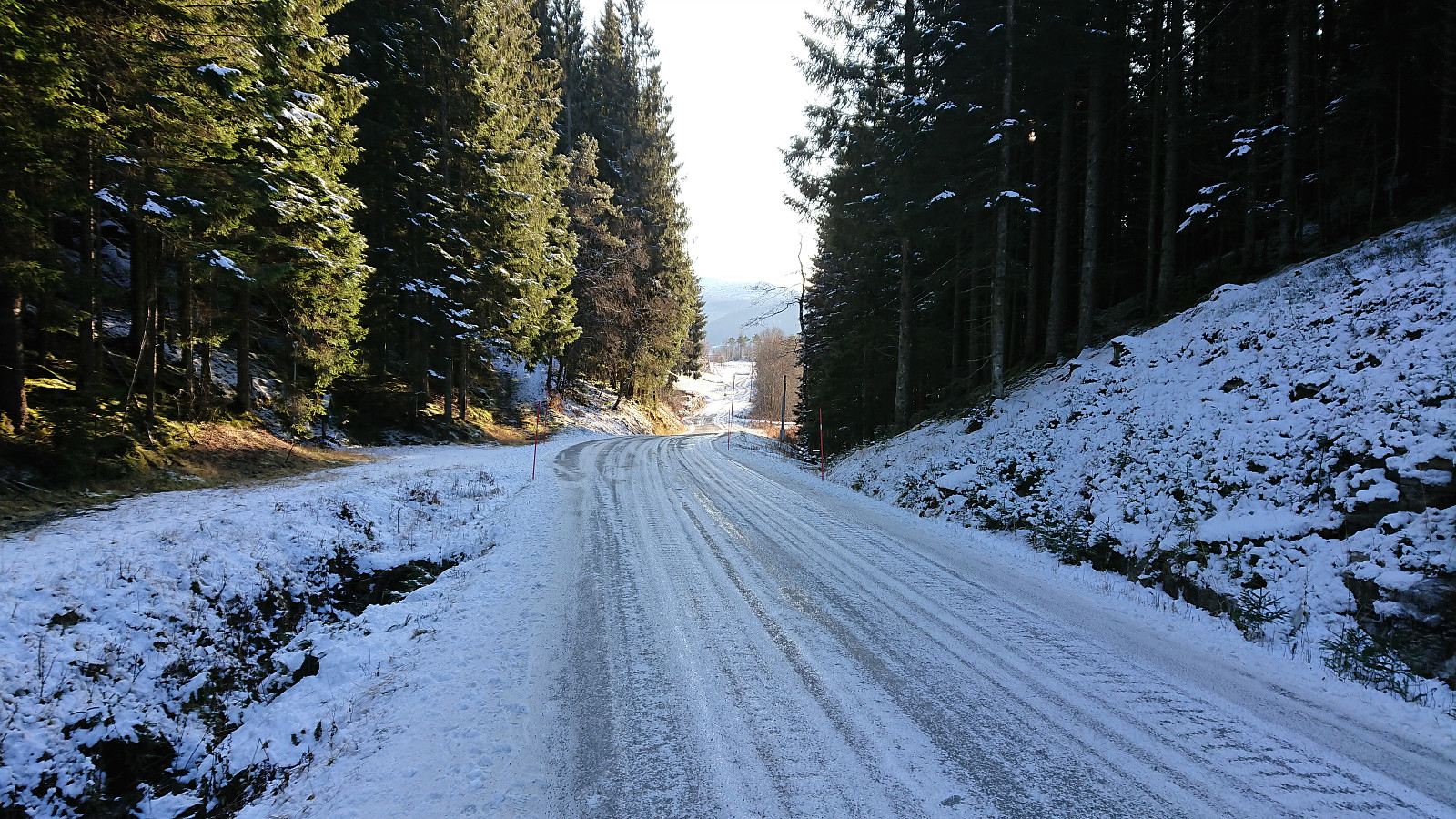
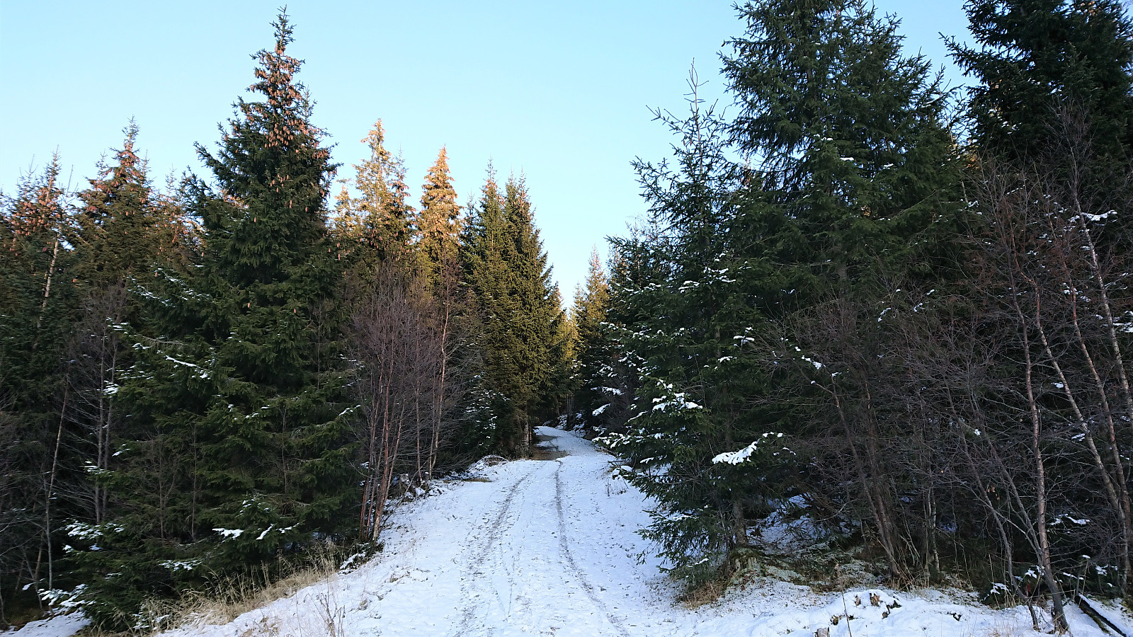
After crossing the river north of Sonvesåsen, I continued along various roads until arriving at the unmarked gravel road that would take me almost all the way to the summit. The road was partly covered by snow, but thankfully there was almost no ice, as otherwise this steep ascent would have been more challenging. Especially given that I was now quickly running out of time for the planned train at Voss.
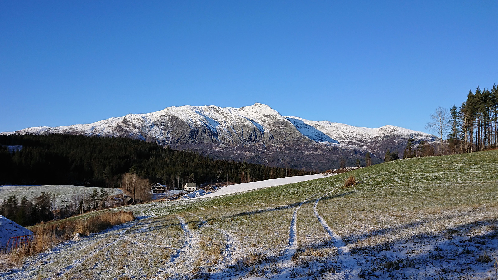
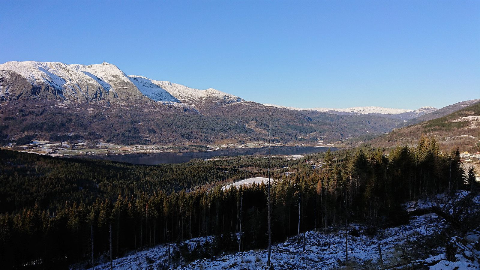
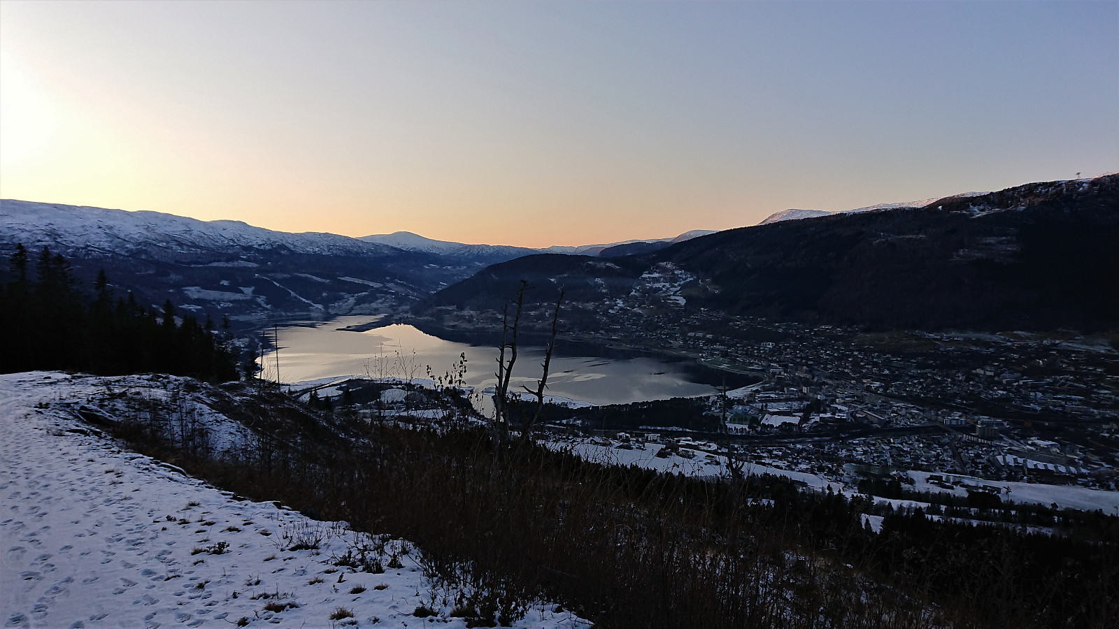
I therefore powered on, only taking a short break to enjoy the excellent views from (close to) the end of the road northwest of the summit. Just beyond the final bend of the road there were signs for a (skiing) roundtrip of Sonvesåsen, but I did not have the time for this option. I therefore instead followed the road south, where the map indicated a trail that would take me in the direction of the summit.
The trailhead was unmarked, except for several footprints in the snow, but its location matched well with the map. I assume that the trail can take you all the way to the summit, but when the trail started deviating too much from where I wanted to go (I was running out of time for that train after all…), I instead made my own direct route towards the summit, reconnecting with the trail at the end.
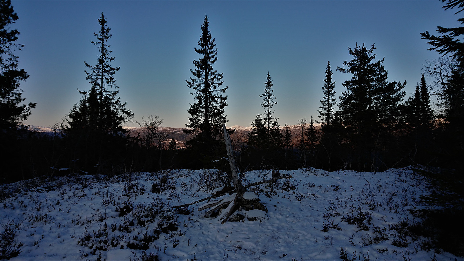
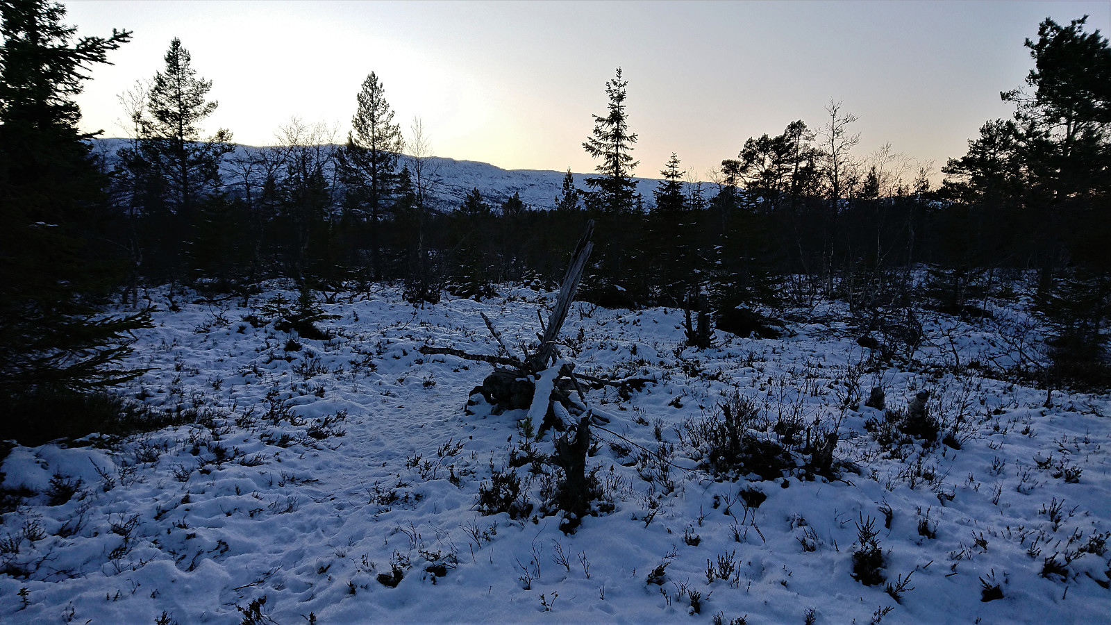
Limited views, but a nice atmosphere with the sun just having disappeared behind the mountains. Did not have time for a lot of pictures though, as I had a train to catch. I now had about an hour for the planned train at Voss. Upon reaching the road north of the summit I had exactly 55 minutes left. Light running was therefore required, taking extra care to avoid any icy areas along the way.
In the end I made it to the train station with five minutes to spare. I even had time to buy the train ticket on my walk through the center of Voss. In other words: perfect timing! ;)
Conclusion
While this hike provided some great views along the way, the summits themselves left a lot to be desired. To start with, both Andershovden and Grauaåsen are clearly peaks that the average hiker will not likely see the point of visiting. The trails in the area around Andershovden can however be recommended. The same cannot be said for Grauaåsen. Definitely more of an acquired taste.
Sonvesåsen was easily the highlight of the three peaks visited. Limited views from the summit here as well, but at least the summit can be easily reached. And if ascending Sonvesåsen from the north, one also gets to enjoy the excellent views from the road before starting the final ascent.
| Start date | 10.11.2019 09:53 (UTC+01:00) |
| End date | 10.11.2019 16:30 (UTC+01:00) |
| Total Time | 6h 37min |
| Moving Time | 6h 27min |
| Stopped Time | 0h 10min |
| Overall Average | 4.6km/h |
| Moving Average | 4.7km/h |
| Distance | 30.4km |
| Vertical meters | 1,335m |


User comments