
Lyderhorn from Sildaberget (27.04.2017)

Written by hbar (Harald Barsnes)

| Start point | Bjørndalsbakken (42m) |
|---|---|
| Endpoint | Lyngbø Rv. 555 (15m) |
| Characteristic | Hillwalk |
| Duration | 3h 50min |
| Distance | 7.0km |
| Vertical meters | 530m |
| GPS |
|
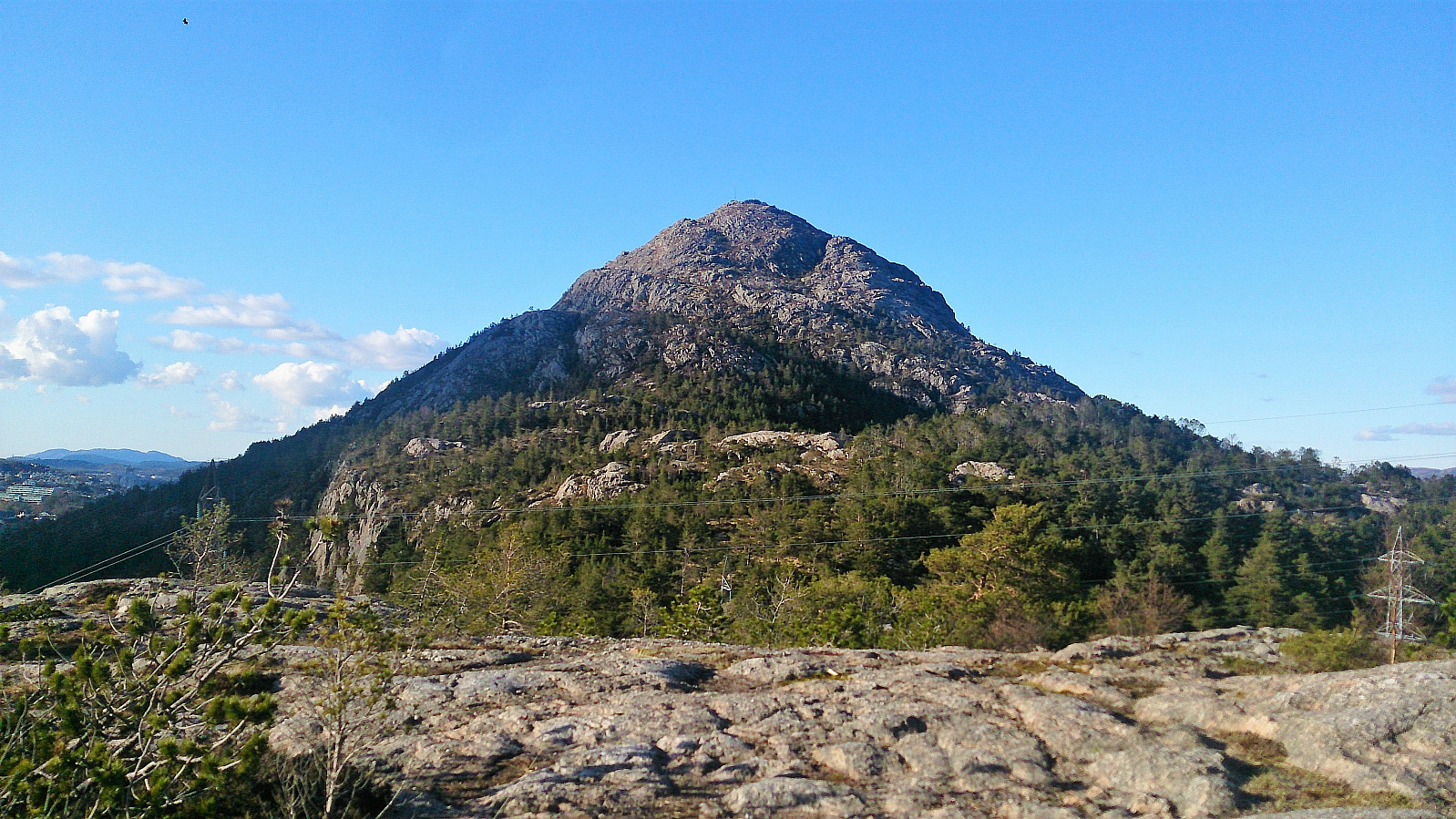
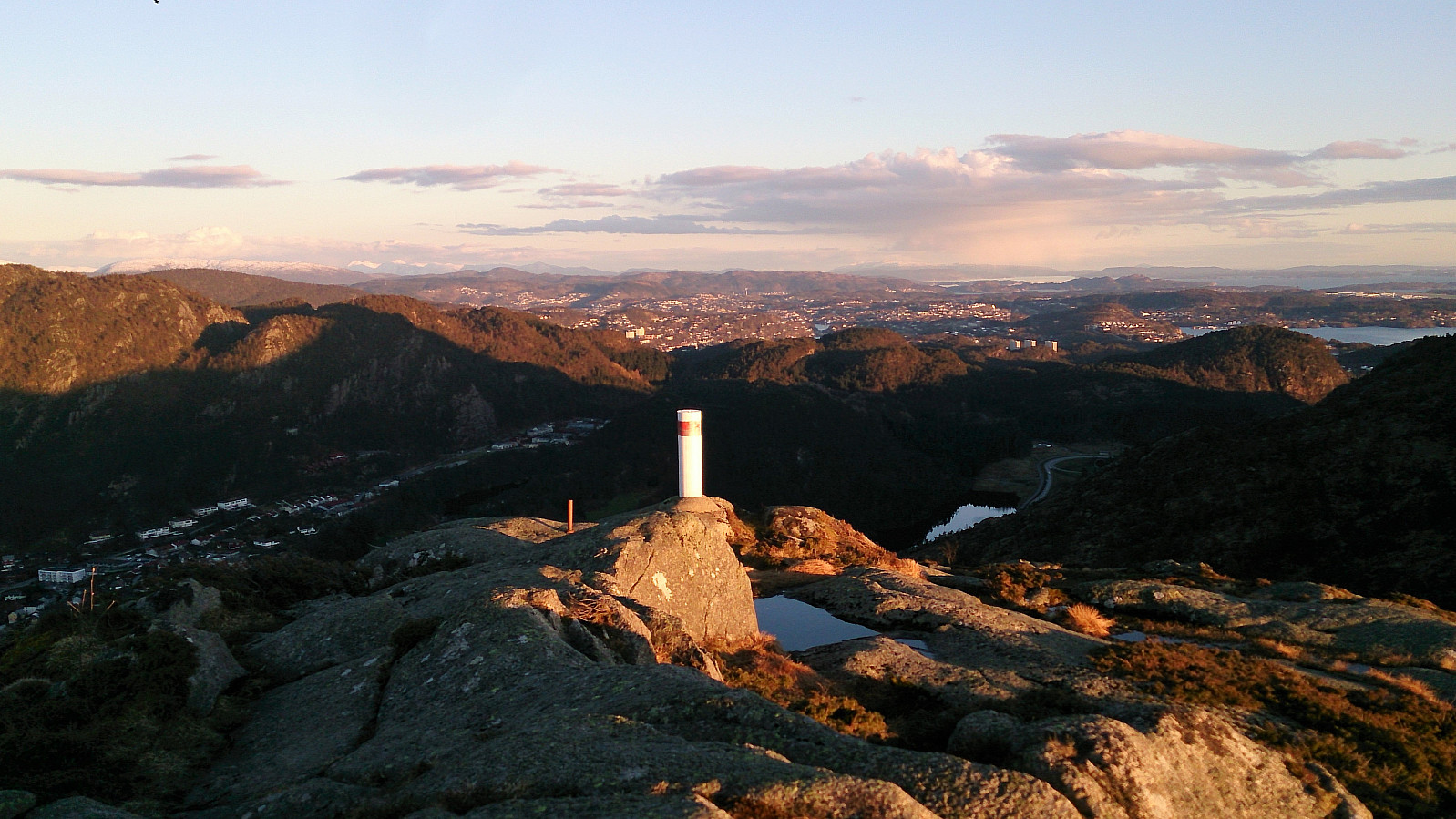
| Ascents | Lyderhorn (396m) | 27.04.2017 |
|---|---|---|
| Skarpafjellet (180m) | 27.04.2017 | |
| Skjenafjellet (319m) | 27.04.2017 | |
| Ørnafjellet (329m) | 27.04.2017 | |
| Visits of other PBEs | Lyderhornhytten (lokalitet) (396m) | 27.04.2017 |
Lyderhorn from Sildaberget
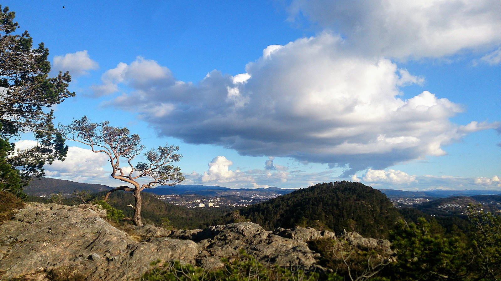
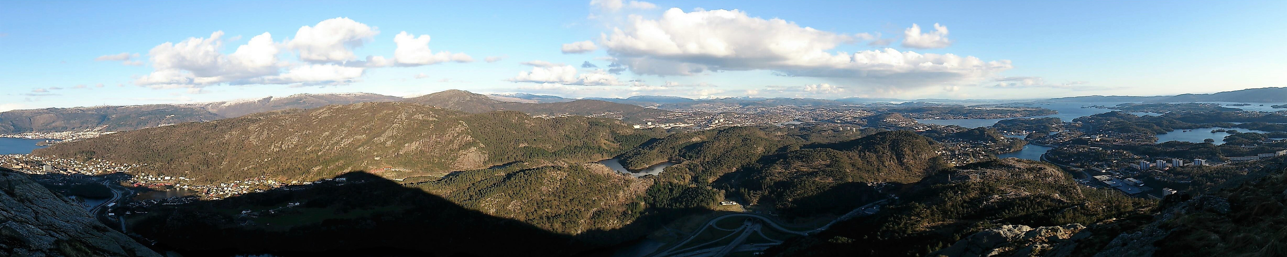
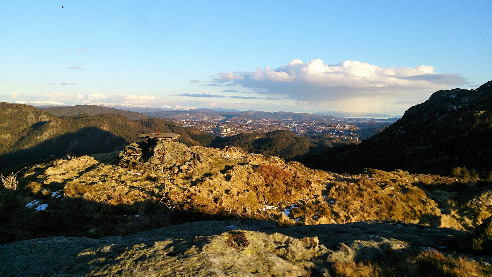
Started by taking the bus to Bjørndalsbakken and from there walking up to Sildaberget. After locating the start of the trail (just follow the upper road at Sildaberget and look for the hiking sign for Lyderhorn), we followed the stairs (and later trail) to Skarpafjellet, and from there continued onwards to Lyderhorn. From Lyderhorn we followed the trail north, passing over Skjenafjellet and Ørnafjellet, before following a very muddy trail down to Gravdal, where we just missed the bus. We therefore ended the hike by walking back towards Lyngbø and Rv. 555 for the bus back to the city center.
| Start date | 27.04.2017 18:19 (UTC+01:00 DST) |
| End date | 27.04.2017 22:10 (UTC+01:00 DST) |
| Total Time | 3h 50min |
| Moving Time | 3h 30min |
| Stopped Time | 0h 20min |
| Overall Average | 1.8km/h |
| Moving Average | 2.0km/h |
| Distance | 7.0km |
| Vertical meters | 530m |


User comments