Archive - Date
Archive - Activity
-
Drive (1)
- Car drive (1)
-
Other trip (2)
- Expedition (2)
-
Ski trip (261)
- Backcountry skiing (76)
- Cross-country skiing (176)
- Trip by foot (486)


Collected lists
-
Stange +50pf
(17/27)
 62%
62% -
Etnedal ≥ 50 m pf.
(18/32)
56%
-
Stryn ≥ 50m pf
(43/141)
30%
-
Innlandet ≥ 100m pf.
(205/1169)
17%
-
Sør-Fron ≥ 50m pf.
(7/52)
13%

Gammalstøltoppen
- Date:
- 24.05.2026
- Characteristic:
- Hillwalk
- Distance:
- 1.1km
 Dagens andre topp begynte utanfor eit svært høgt gjerde og ei svært høg grind. Gjekk langs jordet for å hindre ferdsel over dyrka mark. Kom så opp i skogen og etterkvart på toppen.
Noko utsikt frå toppen.
Dagens andre topp begynte utanfor eit svært høgt gjerde og ei svært høg grind. Gjekk langs jordet for å hindre ferdsel over dyrka mark. Kom så opp i skogen og etterkvart på toppen.
Noko utsikt frå toppen.
Gravatjernhaugen
- Date:
- 24.05.2026
- Characteristic:
- Hillwalk
- Distance:
- 8.4km
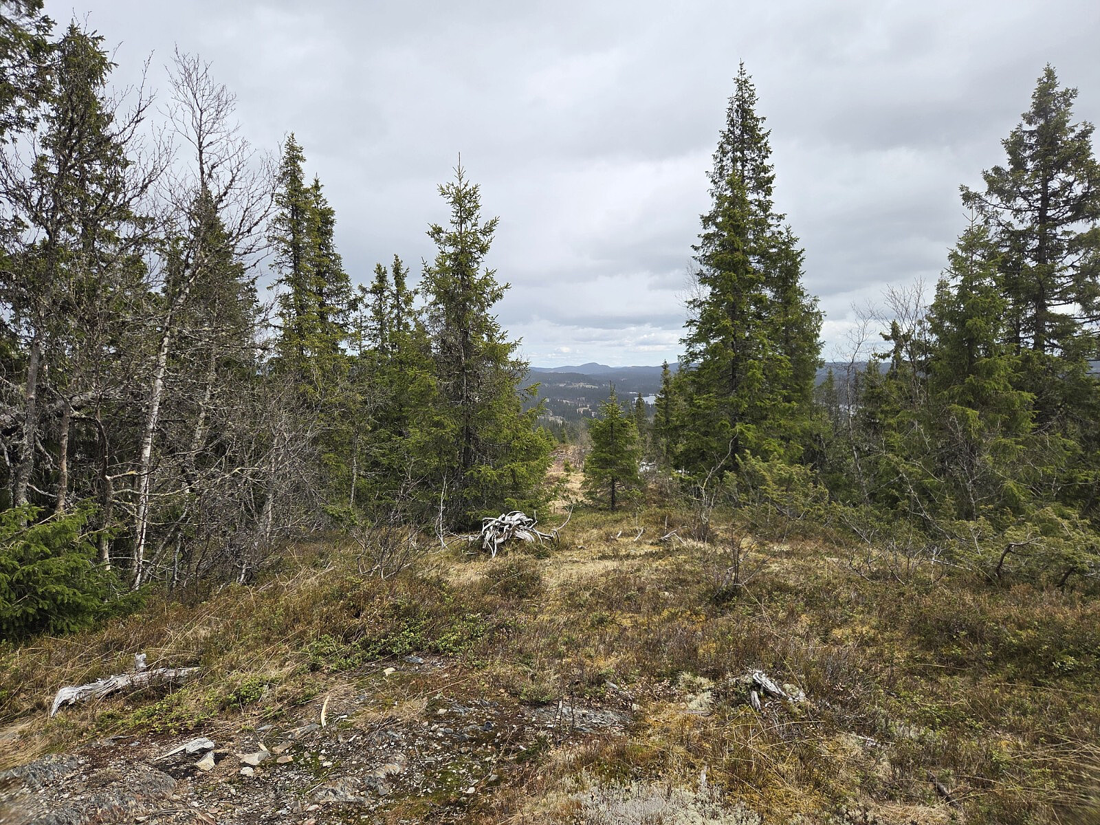
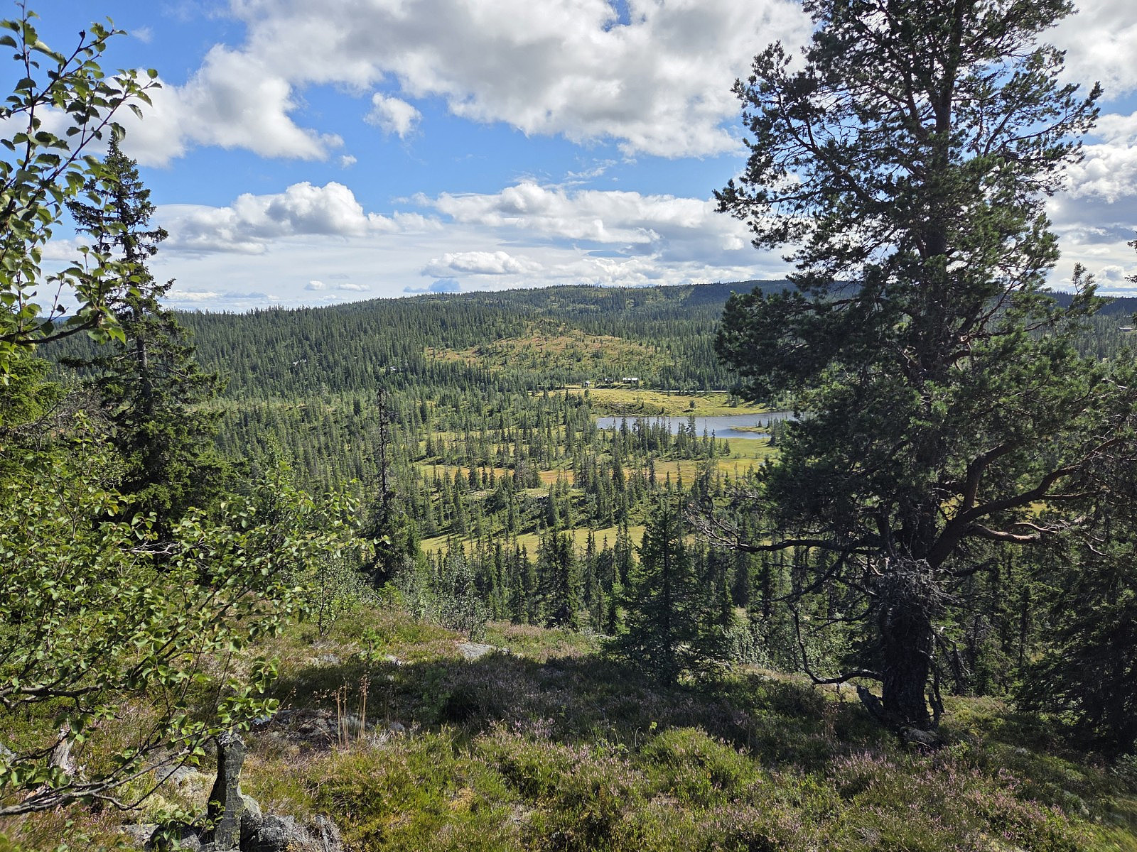
 Dagens første topp var ein av tre der alle hadde felles at eg kom til å bli første peakbookar på toppen!
Turen til Gravatjernhaugen gjekk først langs skogsveg med god standard, deretter meir traktorveg før eg knalla opp i terrenget mot toppen. Eg fann ein sti, men det viste seg nok at dette var eit av fleire elgtrakk. Var elles fint skogsterreng her.
På veg ned trudde eg at eg gjekk rett veg/rett sti, men fann snart ut at eg gjekk for langt mot nord, så eg dreide litt for å kome tilbake på rett plass.
Det var enkelte snøklattar igjen i terrenget her og der.
På veg tilbake langs skogsvegen møtte eg to turgåarar som tydeleg var forbausa over at andre enn dei sjølve gjekk på tur i området her :)
Dagens første topp var ein av tre der alle hadde felles at eg kom til å bli første peakbookar på toppen!
Turen til Gravatjernhaugen gjekk først langs skogsveg med god standard, deretter meir traktorveg før eg knalla opp i terrenget mot toppen. Eg fann ein sti, men det viste seg nok at dette var eit av fleire elgtrakk. Var elles fint skogsterreng her.
På veg ned trudde eg at eg gjekk rett veg/rett sti, men fann snart ut at eg gjekk for langt mot nord, så eg dreide litt for å kome tilbake på rett plass.
Det var enkelte snøklattar igjen i terrenget her og der.
På veg tilbake langs skogsvegen møtte eg to turgåarar som tydeleg var forbausa over at andre enn dei sjølve gjekk på tur i området her :)
Liaberget
- Date:
- 07.09.2025
- Characteristic:
- Hillwalk
- Distance:
- 2.2km
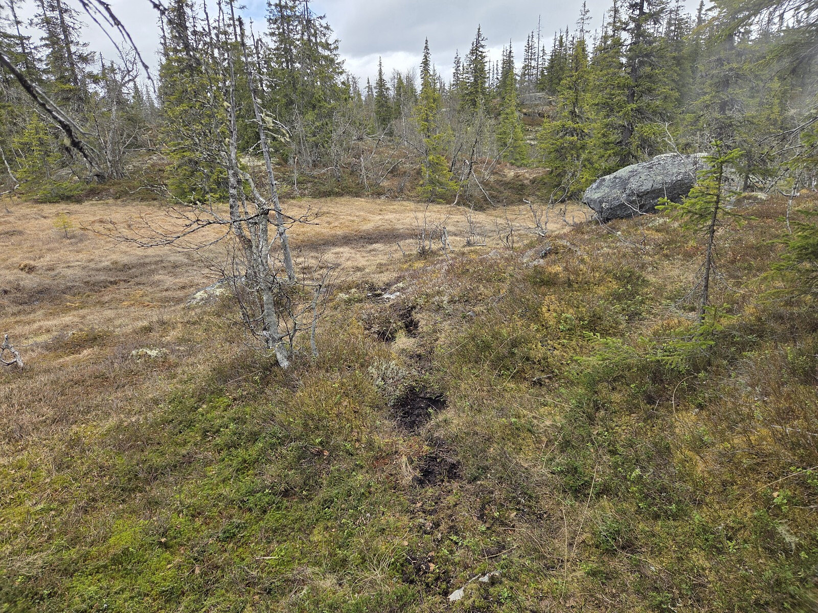
 Dagens fjerde og siste topp var også den hardaste. I lengd og høgdemeter burde den vere enkel, men den var forholdsvis krevjande. Det var mykje buskas og slikt, særleg i den nedste bratte delen. Eg hadde desssverre gløymd machete. Det var enkelte stiar som kunne sjå ut til ikkje å berre vere sauesti, men dei forsvann like fort som dei dukka opp.
Sannsynlegvis ikkje ein veldig godt besøkt topp, mulig toppsamlarar på Peakbook utgjer fleirtalet.
På kartet står det forresten at toppen heiter Kløvberget.
Dagens fjerde og siste topp var også den hardaste. I lengd og høgdemeter burde den vere enkel, men den var forholdsvis krevjande. Det var mykje buskas og slikt, særleg i den nedste bratte delen. Eg hadde desssverre gløymd machete. Det var enkelte stiar som kunne sjå ut til ikkje å berre vere sauesti, men dei forsvann like fort som dei dukka opp.
Sannsynlegvis ikkje ein veldig godt besøkt topp, mulig toppsamlarar på Peakbook utgjer fleirtalet.
På kartet står det forresten at toppen heiter Kløvberget.
Hovdahøgdi
- Date:
- 07.09.2025
- Characteristic:
- Hillwalk
- Distance:
- 0.9km
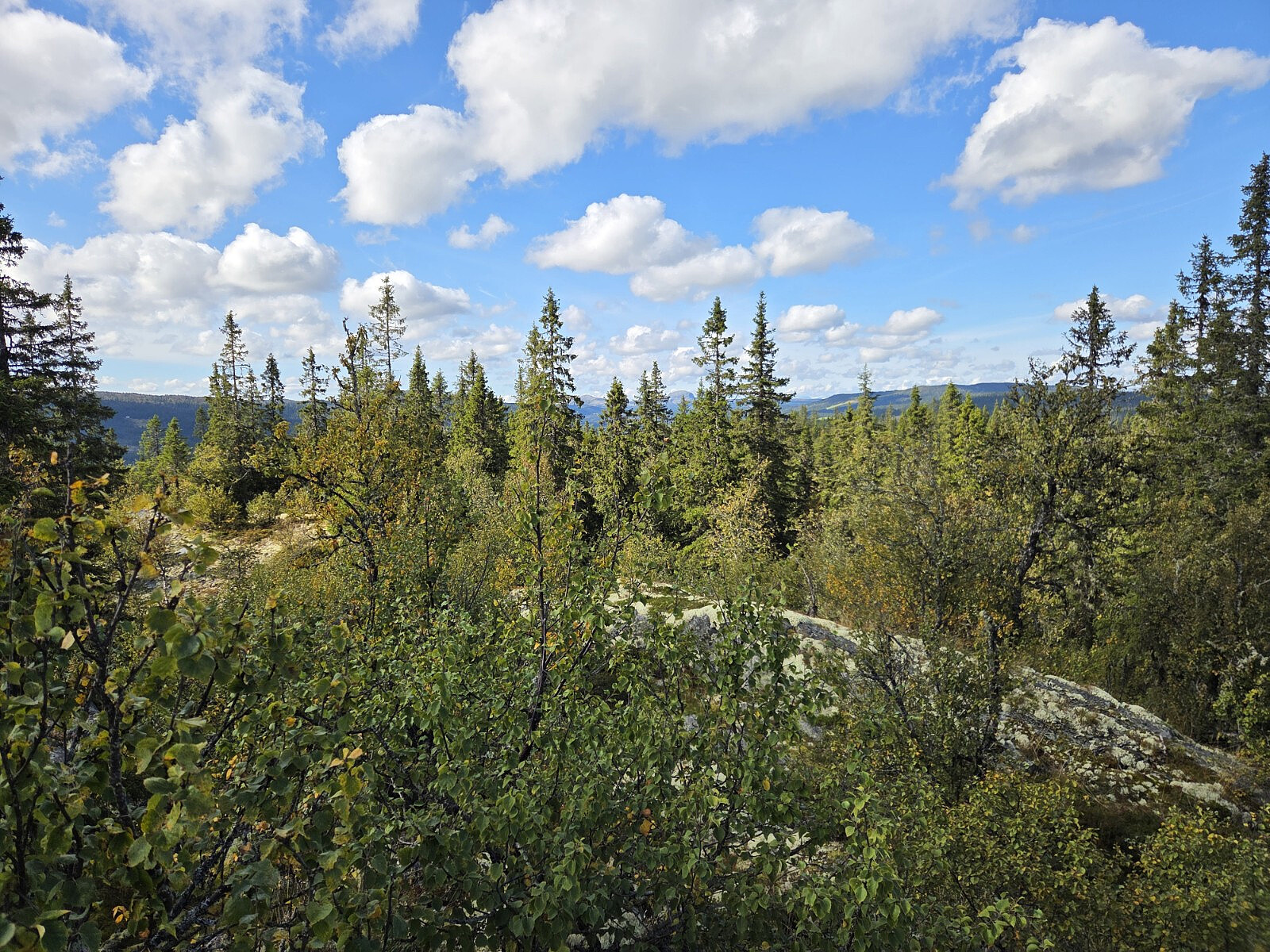
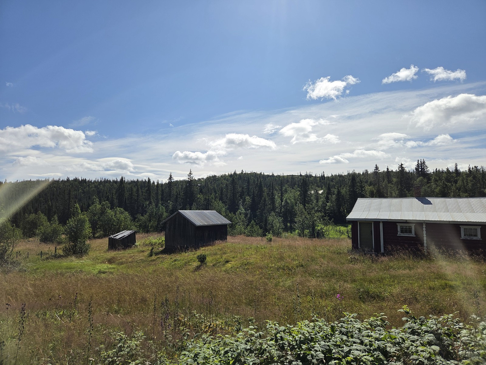
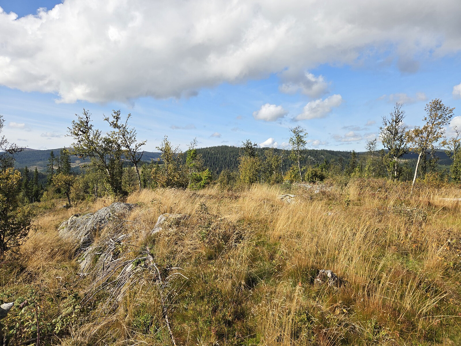 Hovdahøgdi er ingen spektakulær topp. Ingen veldig spennande tur heller, turen gjekk gjennom hogstfelt, som no har begynt å gro igjen med gras og busker. Det gjekk sti mot toppen, men ikkje heilt samanhengande,
Ein fordel med hogstfelt er at det blir god utsikt, og utsikten herifrå var akseptabel.
På kartet står det elles Hovdahaugen.
Hovdahøgdi er ingen spektakulær topp. Ingen veldig spennande tur heller, turen gjekk gjennom hogstfelt, som no har begynt å gro igjen med gras og busker. Det gjekk sti mot toppen, men ikkje heilt samanhengande,
Ein fordel med hogstfelt er at det blir god utsikt, og utsikten herifrå var akseptabel.
På kartet står det elles Hovdahaugen.
Kollhaugen
- Date:
- 07.09.2025
- Characteristic:
- Hillwalk
- Distance:
- 1.9km
 Dagens første topp var Kollhaugen. Her gjekk det ein brukbar sti heile vegen. Det var veldig vått i terrenget, mest på grunn av store mengder dogg i terrenget. Turen gjekk i skogen, men på toppen reiste seg så vidt over skogen.
Storehøgahaugen
- Date:
- 10.08.2025
- Characteristic:
- Hillwalk
- Distance:
- 2.8km
 Dagens fjerde og siste topp var også den lengste turen, blant elles korte toppturar. Det var ingen sti her, men generelt forholdsvis lettgått terreng i open skog. Litt utsikt langs turen og frå toppen.
Garavikhøgde
- Date:
- 10.08.2025
- Characteristic:
- Hillwalk
- Distance:
- 1.6km
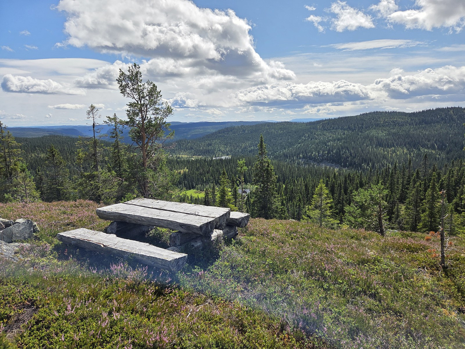 Dagens topp nr. 3. Her var det meininga å gå raskaste vegen opp til trigonometrisk punkt, men eg fann ut at eg ikkje var på høgaste punkt (sjølv om det var her utsikta var finast). Så då knalla eg bort til høgste punkt. Raskaste turen opp og ned Garavikhøgde går i stor grad på sti (Gamle Skonnordvegen), bortsett frå siste brattbakken opp.
Byfellifjellet
- Date:
- 10.08.2025
- Characteristic:
- Hillwalk
- Distance:
- 2.2km
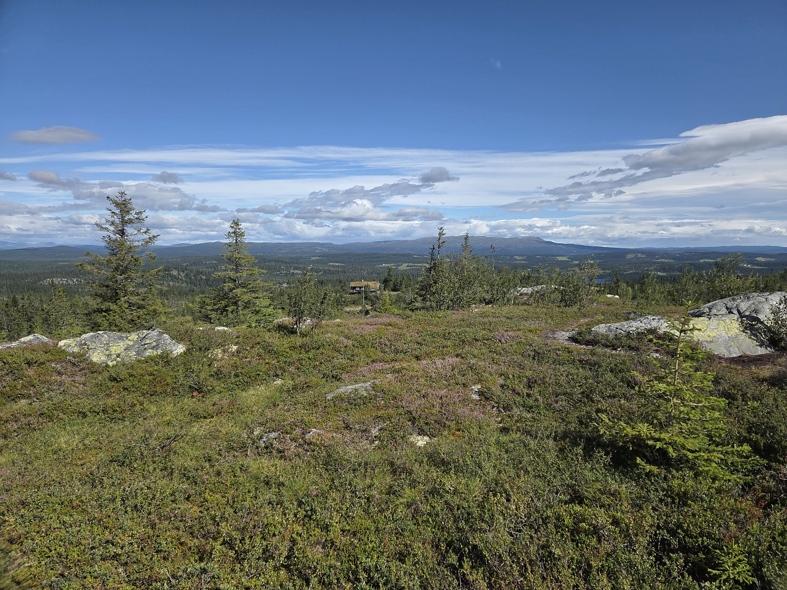
 Byfellifjellet var dagens andre topp, og kunne by på tilnærma like bra utsikt som Dalavarden. Turen gjekk langs veg, og så skråna eg opp gjennom lia der det ikkje var sti. Fann ein sti på platået oppe. Ned igjen fann eg ein sti som gjekk heilt ned, denne kan anbefalast for andre som skal gå her.
Dalavardin
- Date:
- 10.08.2025
- Characteristic:
- Hillwalk
- Distance:
- 1.0km
 Dagens første topp var Dalavardin. Her gjorde eg det enkelt, og køyrde opp til næraste startpunkt. Kort tur, ingen sti før eg nærma eg toppen. Veldig flott utsikt i alle retningar.
