Archive - Date
Archive - Activity
-
Bike trip (111)
- Bike trip - mixed (25)
- Bike trip - road (86)
-
Drive (9)
- Car drive (9)
-
Other trip (3)
- Kayaking (3)
-
Ski trip (116)
- Backcountry skiing (69)
- Cross-country skiing (47)
- Trip by foot (1898)
Collected lists
-
Utvalgte topper og turmål i Bergen
(349/351)
 99%
99% -
Alle topper i Bergen
(393/400)
98%
-
Voss ≥ 100m pf.
(96/98)
97%
-
Opptur Hordaland
(144/159)
90%
-
Stasjoner på Bergensbanen
(33/40)
82%
-
Ulvik ≥ 100m pf.
(30/38)
78%
-
Hordaland ≥ 100m pf.
(624/863)
72%
-
Mjølfjell PF > 100m
(21/31)
67%
-
Jondal ≥ 100m pf.
(15/23)
65%
-
Dagsturhyttene i Vestland
(36/61)
59%
-
Sunnhordland PF >= 100m
(105/186)
56%
-
Hordaland: Hardanger PF>=100m
(196/359)
54%
-
DNT-hytter i Hordaland
(23/45)
51%
-
Kvinnherad ≥ 100m pf.
(40/79)
50%
-
Eidfjord ≥ 100m pf.
(13/42)
30%
-
Sogndal ≥ 100m pf.
(23/81)
28%
-
Gulen ≥ 100m pf.
(15/54)
27%
-
Vik i Sogn ≥ 100m pf.
(10/46)
21%
-
Sogn - Sør for Sognefjorden PF>=100m
(31/159)
19%
-
DNT-hytter i Sogn og Fjordane
(8/47)
17%

Cycling: Råvarden
- Date:
- 29.06.2019
- Characteristic:
- Bike trip - road
- Duration:
- 3:21h
- Distance:
- 45.6km
 After initially dropping out of the Bergen ≥ 50m pf. og ≥ 100 m.o.h. list , due to having to re-complete it several times when new rather uninteresting peaks were added, I decided to rejoin after realizing that the latest addition to the list, Råvarden , could be easily reached by bike, thus making for an overall more enjoyable trip. Had to get off the bike for the final 60 meters walk to the summit, which today provided even less views than usual due to the low-hanging clouds. Another one of those "been there, done that" peaks that I'm pretty sure I will not feel the need to revisit.
Cycling: Salhus Roundtrip
- Date:
- 17.05.2019
- Characteristic:
- Bike trip - road
- Duration:
- 2:16h
- Distance:
- 36.7km
 The usual bike trip around Salhus.
Cycling: Åsane Roundtrip
- Date:
- 15.05.2019
- Characteristic:
- Bike trip - road
- Duration:
- 2:23h
- Distance:
- 32.2km
 The first bike trip of 2019, including local explorations of Eidsvåg and Åsane.
Cycling: Eidsvågsneset and Sandviksbatteriet
- Date:
- 12.08.2018
- Characteristic:
- Bike trip - road
- Duration:
- 0:55h
- Distance:
- 12.9km
 Short local bike ride to test my new cycling gloves and to see whether my recent crash made me go significantly slower in the corners when going downhill. And I did notice that I was thinking more about the possibility of slipping in the sharp bends, but hopefully this will be back to normal soon.
Cycling: From Barsnes to Rubbeskallen
- Date:
- 26.07.2018
- Characteristic:
- Bike trip - road
- Duration:
- 1:51h
- Distance:
- 17.2km
 Short cycling trip from Barsnes to Rubbeskallen (and back), following the new almost completed Fjordstien and later the cycling and walking path to Rubbeskallen.
Cycling: Salhus Roundtrip
- Date:
- 12.07.2018
- Characteristic:
- Bike trip - road
- Duration:
- 3:25h
- Distance:
- 43.1km
 The usual cycling trip around Salhus. This time with a colleague and with an added detour via Langevatnet and Munkebotn.
Cycling: Bukkaberget
- Date:
- 07.07.2018
- Characteristic:
- Bike trip - road
- Duration:
- 6:50h
- Distance:
- 77.5km
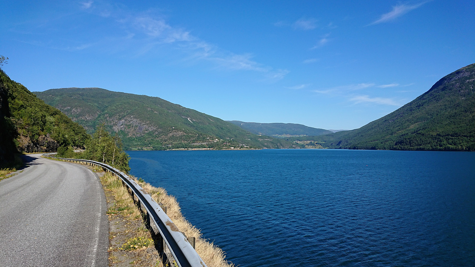
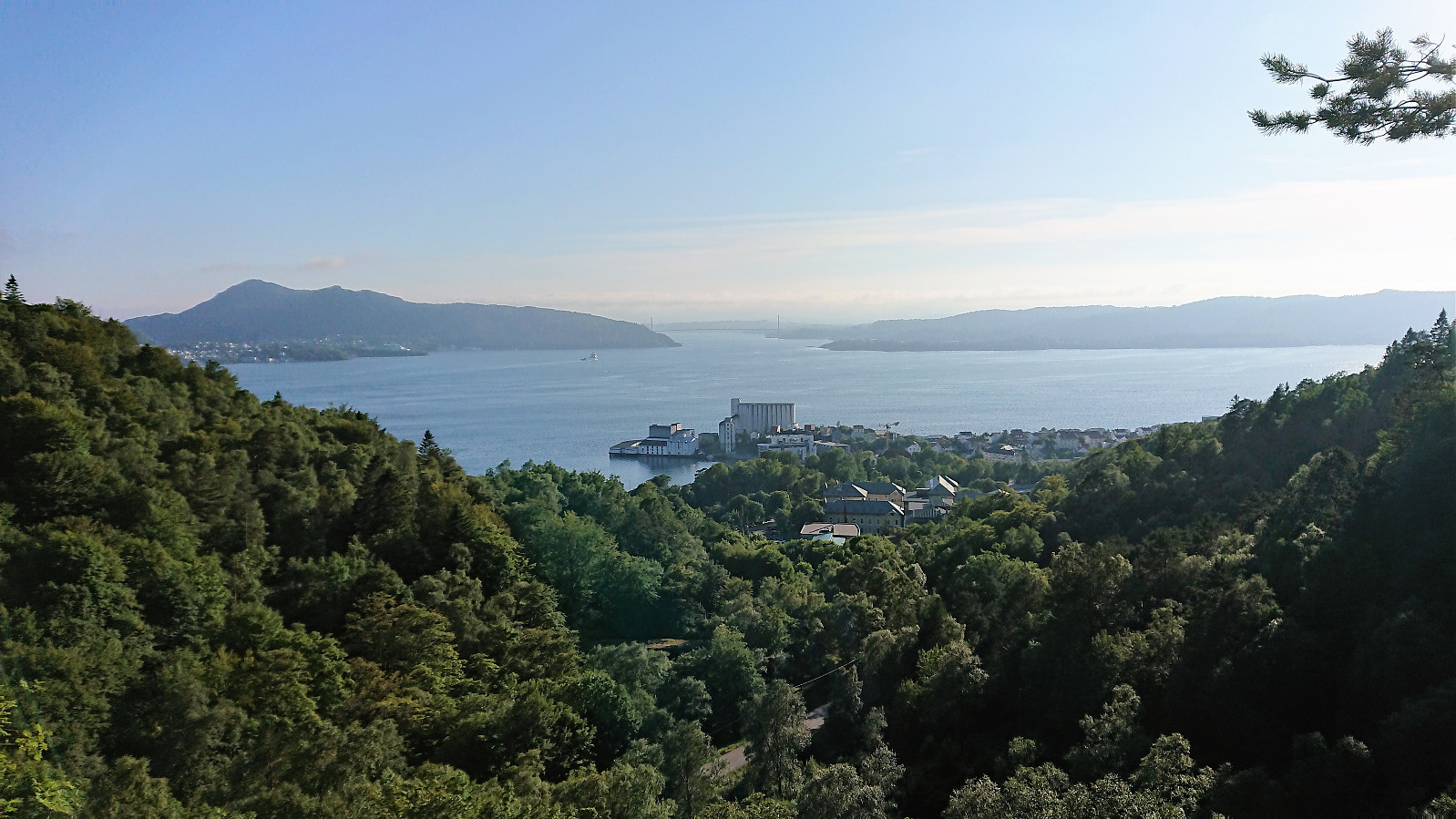
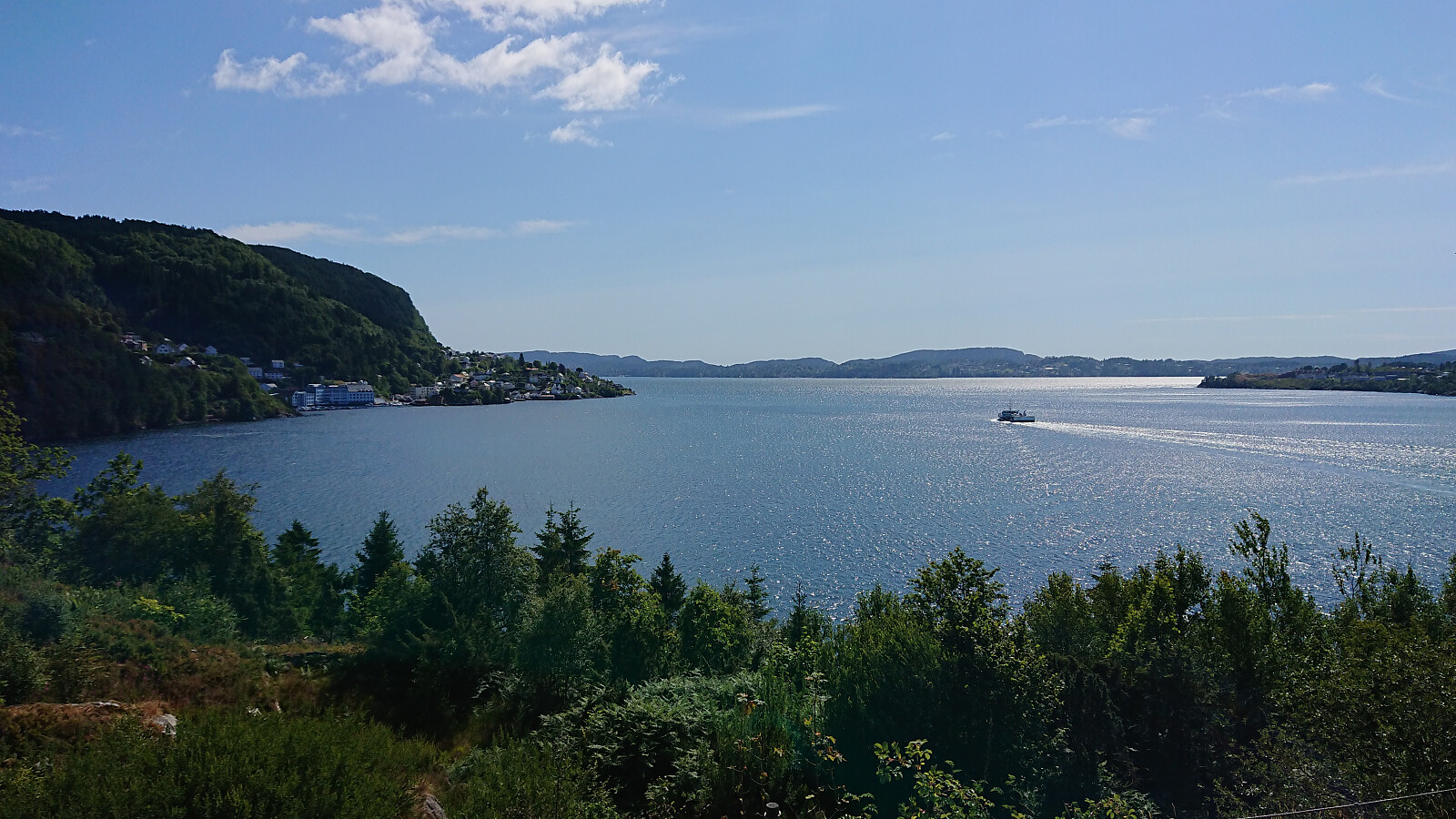 Cycling from Lønborg to the trailhead for Bukkaberget and back. The hike across Bukkaberget is recorded in a separate report: Bukkaberget . Overall a very nice trip that for the most part was either on separate cycling/walking paths or along roads with limited traffic.
Cycling: Hauglandsdalen
- Date:
- 13.06.2018
- Characteristic:
- Bike trip - road
- Duration:
- 5:36h
- Distance:
- 71.7km
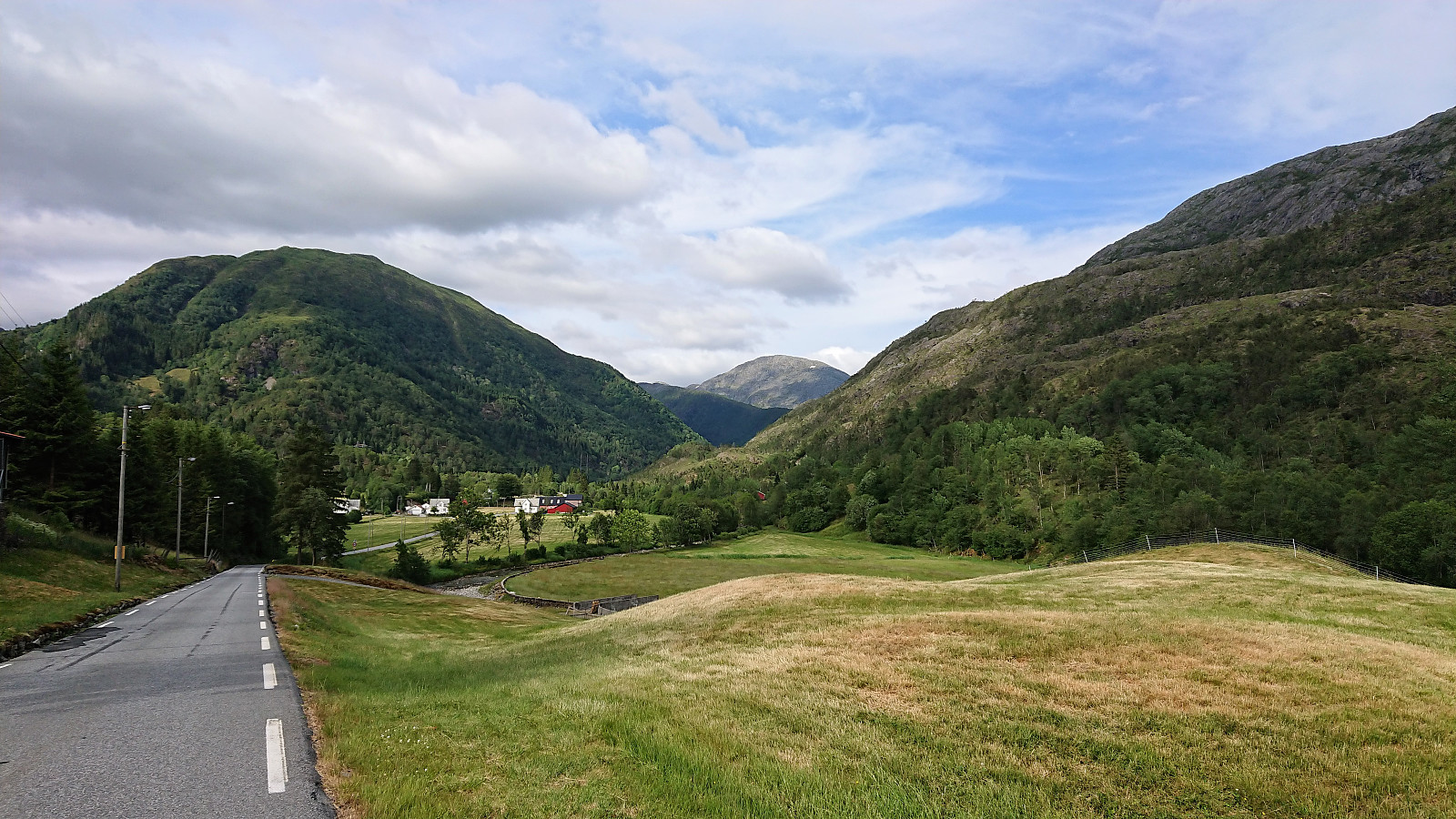 Cycling up Hauglandsdalen with a colleague, passing by Bontveit and Totland on the way back to the city center via the gravel road made for skiing. Highly recommended!
Cycling: Salhus Roundtrip
- Date:
- 10.06.2018
- Characteristic:
- Bike trip - road
- Duration:
- 2:44h
- Distance:
- 38.9km
 Cycling around Salhus with quick visits of both Tellevik fort and the pier at Salhus.
Cycling: Nordåsvatnet and Fjellveien
- Date:
- 05.06.2018
- Characteristic:
- Bike trip - road
- Duration:
- 3:57h
- Distance:
- 55.7km
 Cycling around Nordåsvatnet and along Fjellveien with a co-worker.
