Archive - Date
Archive - Activity
-
Bike trip (108)
- Bike trip - mixed (25)
- Bike trip - road (83)
-
Drive (9)
- Car drive (9)
-
Other trip (3)
- Kayaking (3)
-
Ski trip (115)
- Backcountry skiing (68)
- Cross-country skiing (47)
- Trip by foot (1870)
Collected lists
-
Utvalgte topper og turmål i Bergen
(346/347)
 99%
99% -
Alle topper i Bergen
(391/398)
98%
-
Voss ≥ 100m pf.
(96/98)
97%
-
Opptur Hordaland
(144/159)
90%
-
Stasjoner på Bergensbanen
(31/40)
77%
-
Ulvik ≥ 100m pf.
(28/38)
73%
-
Hordaland ≥ 100m pf.
(619/863)
71%
-
Mjølfjell PF > 100m
(21/31)
67%
-
Jondal ≥ 100m pf.
(15/23)
65%
-
Dagsturhyttene i Vestland
(36/61)
59%
-
Sunnhordland PF >= 100m
(105/186)
56%
-
Hordaland: Hardanger PF>=100m
(191/359)
53%
-
DNT-hytter i Hordaland
(23/45)
51%
-
Kvinnherad ≥ 100m pf.
(40/79)
50%
-
Sogndal ≥ 100m pf.
(23/81)
28%
-
Gulen ≥ 100m pf.
(14/54)
25%
-
Eidfjord ≥ 100m pf.
(10/42)
23%
-
Vik i Sogn ≥ 100m pf.
(10/46)
21%
-
Sogn - Sør for Sognefjorden PF>=100m
(30/159)
18%
-
DNT-hytter i Sogn og Fjordane
(8/47)
17%

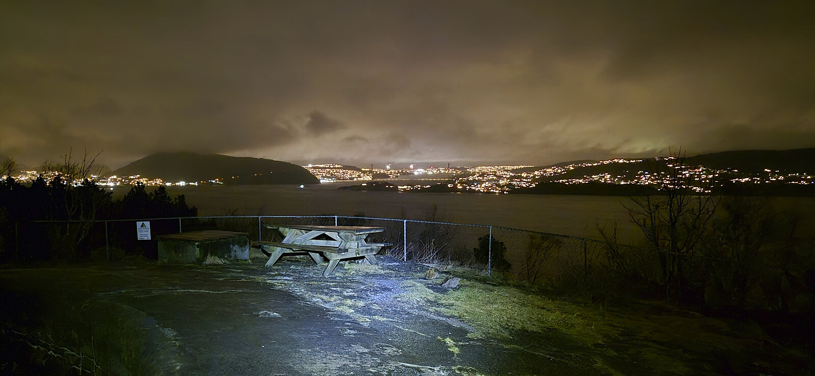
Across Hellen festning
- Date:
- 20.01.2026
- Characteristic:
- Hike
- Duration:
- 0:37h
- Distance:
- 3.2km
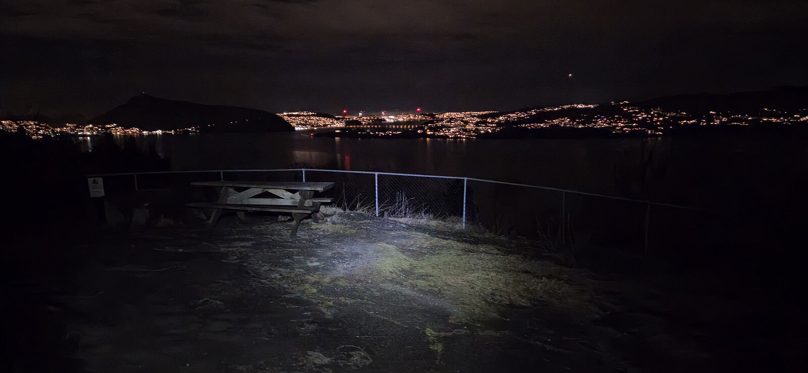 Short local evening hike.
Hellefjellet and Furukammen
- Date:
- 14.01.2026
- Characteristic:
- Hike
- Duration:
- 1:43h
- Distance:
- 5.1km
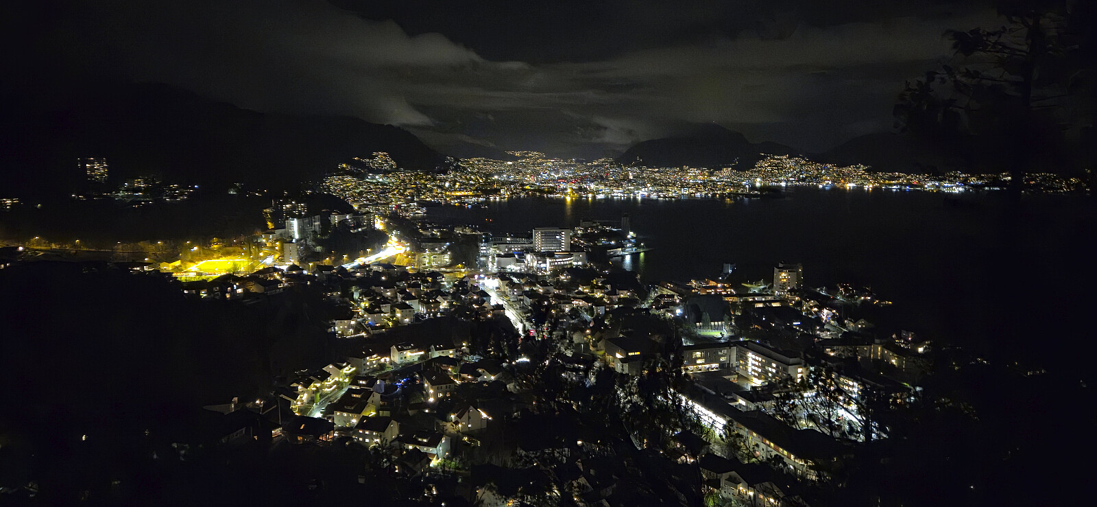 Local evening hike on icy and slippery roads.
Brushytten
- Date:
- 11.01.2026
- Characteristic:
- Hike
- Duration:
- 2:58h
- Distance:
- 13.1km
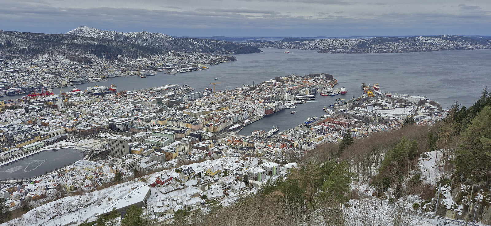 Sunday hike at Fløyen.
Across Hellen festning
- Date:
- 31.12.2025
- Characteristic:
- Hike
- Duration:
- 0:41h
- Distance:
- 3.2km
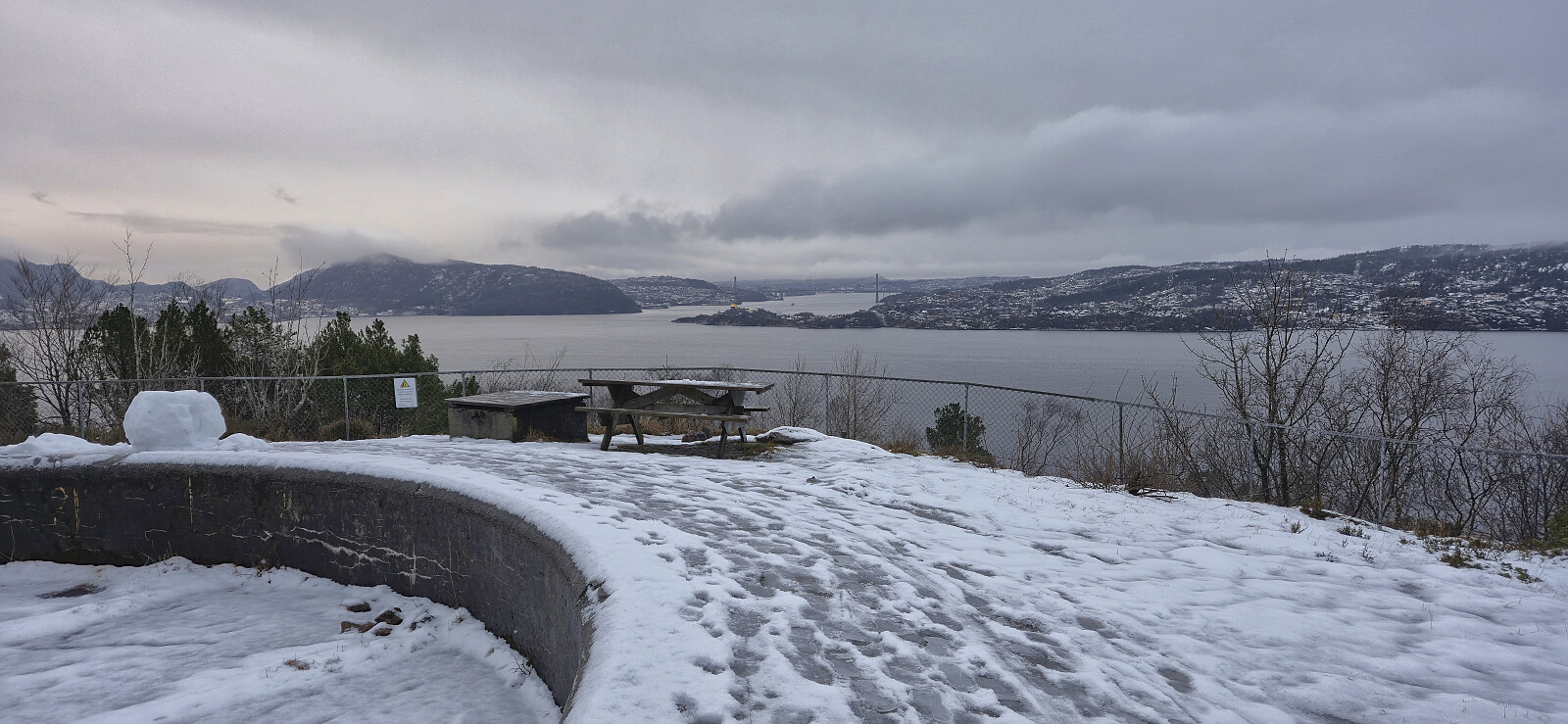 The last hike of 2025 across a slippery Hellen festning in between rain showers.
Across Hellen festning
- Date:
- 27.12.2025
- Characteristic:
- Hike
- Duration:
- 0:37h
- Distance:
- 3.1km
 Short local hike after returning from Sogndal to Bergen by boat.
Across Hellen festning
- Date:
- 20.12.2025
- Characteristic:
- Hike
- Duration:
- 0:36h
- Distance:
- 3.1km
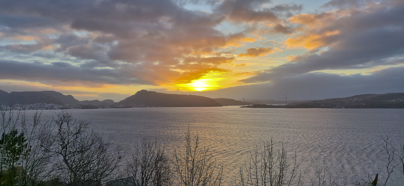
 Short local Saturday hike around sunset.
Across Hellen festning
- Date:
- 18.12.2025
- Characteristic:
- Hike
- Duration:
- 0:37h
- Distance:
- 3.2km
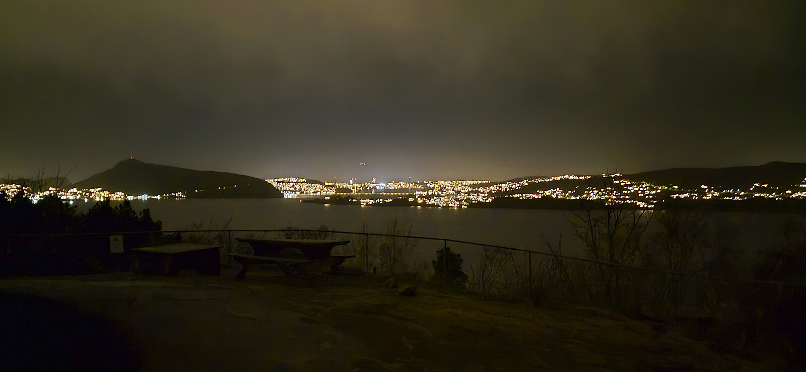 Short local evening hike.
Across Hellen festning
- Date:
- 16.12.2025
- Characteristic:
- Hike
- Duration:
- 0:40h
- Distance:
- 3.2km
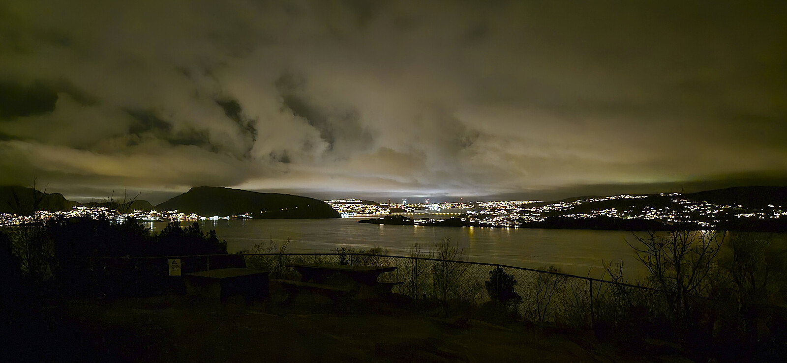 Short local evening hike.
Bryggen to Munkebotn
- Date:
- 14.12.2025
- Characteristic:
- Hike
- Duration:
- 1:07h
- Distance:
- 4.9km
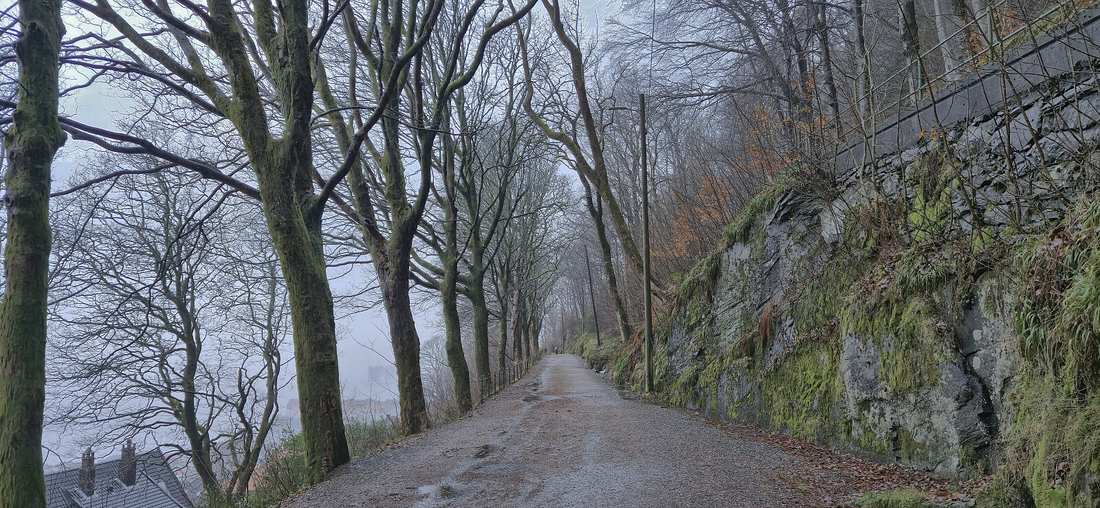 Short hike on an unusually wet and gray Sunday.
Across Hellen festning
- Date:
- 12.12.2025
- Characteristic:
- Hike
- Duration:
- 0:39h
- Distance:
- 3.2km
 Short local hike in light rain after work.
