Archive - Date
Archive - Activity
-
Bike trip (111)
- Bike trip - mixed (25)
- Bike trip - road (86)
-
Drive (9)
- Car drive (9)
-
Other trip (3)
- Kayaking (3)
-
Ski trip (116)
- Backcountry skiing (69)
- Cross-country skiing (47)
- Trip by foot (1897)
Collected lists
-
Utvalgte topper og turmål i Bergen
(349/351)
 99%
99% -
Alle topper i Bergen
(393/400)
98%
-
Voss ≥ 100m pf.
(96/98)
97%
-
Opptur Hordaland
(144/159)
90%
-
Stasjoner på Bergensbanen
(33/40)
82%
-
Ulvik ≥ 100m pf.
(30/38)
78%
-
Hordaland ≥ 100m pf.
(624/863)
72%
-
Mjølfjell PF > 100m
(21/31)
67%
-
Jondal ≥ 100m pf.
(15/23)
65%
-
Dagsturhyttene i Vestland
(36/61)
59%
-
Sunnhordland PF >= 100m
(105/186)
56%
-
Hordaland: Hardanger PF>=100m
(196/359)
54%
-
DNT-hytter i Hordaland
(23/45)
51%
-
Kvinnherad ≥ 100m pf.
(40/79)
50%
-
Eidfjord ≥ 100m pf.
(13/42)
30%
-
Sogndal ≥ 100m pf.
(23/81)
28%
-
Gulen ≥ 100m pf.
(15/54)
27%
-
Vik i Sogn ≥ 100m pf.
(10/46)
21%
-
Sogn - Sør for Sognefjorden PF>=100m
(31/159)
19%
-
DNT-hytter i Sogn og Fjordane
(8/47)
17%

Cycling: Hjellestad and Milde
- Date:
- 04.07.2021
- Characteristic:
- Bike trip - road
- Duration:
- 4:58h
- Distance:
- 66.1km
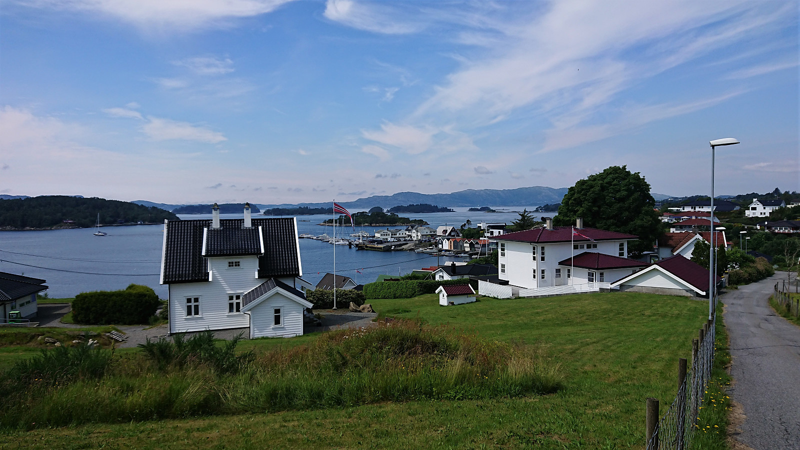 Cycling trip to Hjellestad and Milde, including visits of Hjellestadvarden and Nepegjerdhaugen . For Hjellestadvarden, it was easy to get less than 50 meters from the summit and it only required a minor off-trail detour on foot to reach the two cairns marking the highest point. Pretty much no views from the summit though and probably does not get many visitors. Getting close to Nepegjerdhaugen was also straightforward, but as it was basically in someone's backyard, I was again satisfied with getting as close as I could without leaving the bike. Before returning home, I also visited both Bergen botanical garden and The Arboretum at Milde. This was clearly one of those trips where the trip itself was much more interesting than the two visited summits.
Cycling: Nordåsvatnet, Flesland and Skjold
- Date:
- 26.06.2021
- Characteristic:
- Bike trip - road
- Duration:
- 3:51h
- Distance:
- 54.9km
 Cycling trip with the main objective of visiting more minor peaks on the Alle topper i Bergen list . I started by cycling to Nordåsvatnet and onwards to Ruskeneshaugen . As I did not see any way to access the summit without bordering on trespassing, I skipped the last 50 meters the summit and instead turned south to Kokstadhaugen . I left my bike northwest of the summit and continued the rest of the way on foot, partly along a trail. Better views than expected from the summit.
Before heading for Skjold and the final two peaks, I first made a quick visit to Flesland. Getting to Skjoldhøgda was straightforward, except for lots of roadwork resulting in several detours. Also here I skipped the last 20 meters to the summit in order to avoid strange looks from the nearby neighbors. There were some very nice views from just north of the summit though, which could >>>
Cycling trip with the main objective of visiting more minor peaks on the Alle topper i Bergen list . I started by cycling to Nordåsvatnet and onwards to Ruskeneshaugen . As I did not see any way to access the summit without bordering on trespassing, I skipped the last 50 meters the summit and instead turned south to Kokstadhaugen . I left my bike northwest of the summit and continued the rest of the way on foot, partly along a trail. Better views than expected from the summit.
Before heading for Skjold and the final two peaks, I first made a quick visit to Flesland. Getting to Skjoldhøgda was straightforward, except for lots of roadwork resulting in several detours. Also here I skipped the last 20 meters to the summit in order to avoid strange looks from the nearby neighbors. There were some very nice views from just north of the summit though, which could >>>
Cycling: Nonkletten and Moldstigahaugen
- Date:
- 20.06.2021
- Characteristic:
- Bike trip - road
- Duration:
- 4:31h
- Distance:
- 67.5km
 With a weather forecast of late afternoon rain showers, I postponed my initial hiking plans and rather went for a cycling trip to Krokeide with the goal of visiting two more peaks on the Alle topper i Bergen list, namely Nonkletten and Moldstigahaugen . Thanks to the earlier trip reports, I could easily locate the unmarked trailhead south of Nonkletten, and after leaving my bike behind I followed the marked trail all the way to the summit. Limited views from the summit itself, but the views during the ascent (and later descent) were quite good.
From Nonkletten I followed the trail north towards Moldstigahaugen. And while the trail almost disappeared when crossing one or two wet areas, and the trail markers were anything but frequent, the trail did make it relatively straightforward to get from Nonkletten to just east of Moldstigahaugen. >>>
With a weather forecast of late afternoon rain showers, I postponed my initial hiking plans and rather went for a cycling trip to Krokeide with the goal of visiting two more peaks on the Alle topper i Bergen list, namely Nonkletten and Moldstigahaugen . Thanks to the earlier trip reports, I could easily locate the unmarked trailhead south of Nonkletten, and after leaving my bike behind I followed the marked trail all the way to the summit. Limited views from the summit itself, but the views during the ascent (and later descent) were quite good.
From Nonkletten I followed the trail north towards Moldstigahaugen. And while the trail almost disappeared when crossing one or two wet areas, and the trail markers were anything but frequent, the trail did make it relatively straightforward to get from Nonkletten to just east of Moldstigahaugen. >>>
Cycling: Øykjafjellet and Salsborg from Malkenes
- Date:
- 06.06.2021
- Characteristic:
- Bike trip - road
- Duration:
- 9:56h
- Distance:
- 88.2km
 Yet another cycling trip to Tysnes, this time with the goal of visiting Øykjafjellet and Salsborg . Once again I used the highly recommended trick of bringing my bike with me on the high-speed ferry to Malkenes and thus started my cycling from there. After about 1.5 hours of cycling, I arrived at the marked trailhead for Øykjafjellet in Flakkavågen. Here I left the bike behind and continued towards the summit on foot. See the separate trip report: Øykjafjellet from Flakkavågen .
Upon returning to my bike, I cycled southwest along the road to the marked trailhead for Salsborg, where I again left the bike and started the ascent on foot. See the separate trip report: Salsborg from Skjelevika . When later returning to the trailhead I had to decide whether to continue southwest to Hodaneset, and from there follow the road north to Våge, or return to Onarheim for the route >>>
Yet another cycling trip to Tysnes, this time with the goal of visiting Øykjafjellet and Salsborg . Once again I used the highly recommended trick of bringing my bike with me on the high-speed ferry to Malkenes and thus started my cycling from there. After about 1.5 hours of cycling, I arrived at the marked trailhead for Øykjafjellet in Flakkavågen. Here I left the bike behind and continued towards the summit on foot. See the separate trip report: Øykjafjellet from Flakkavågen .
Upon returning to my bike, I cycled southwest along the road to the marked trailhead for Salsborg, where I again left the bike and started the ascent on foot. See the separate trip report: Salsborg from Skjelevika . When later returning to the trailhead I had to decide whether to continue southwest to Hodaneset, and from there follow the road north to Våge, or return to Onarheim for the route >>>
Cycling: Nonskletten
- Date:
- 01.06.2021
- Characteristic:
- Bike trip - road
- Duration:
- 2:26h
- Distance:
- 31.0km
 Evening cycling trip with the main objective of visiting Nonskletten . I left the bike at the gravel trail just east of the summit and made the most direct ascent towards the highest point. The summit was not very interesting, but there was a nice park south of the small hill.
Cycling: Fedjebjørnen from Bergen
- Date:
- 30.05.2021
- Characteristic:
- Bike trip - road
- Duration:
- 12:23h
- Distance:
- 148.6km
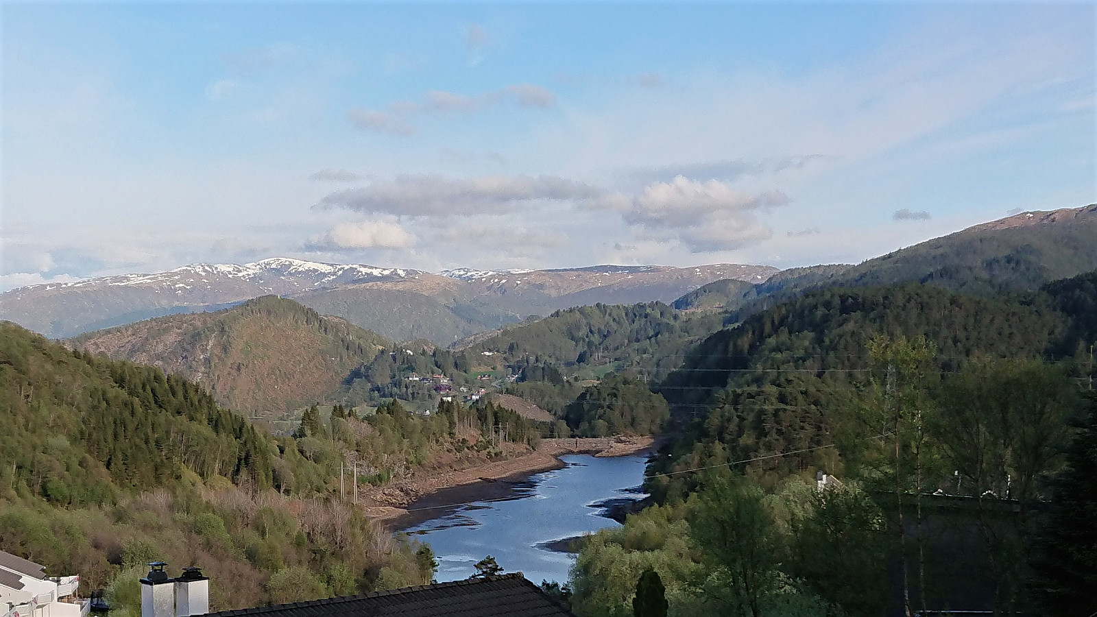
 For some time I had been considering an extended cycling trip with the goal of visiting Fedjebjørnen , and with a weekend of excellent weather forecasts I decided to finally give it a go. I started cycling from Lønborg just after nine in the morning and more or less followed the cycling route towards Mongstad. This meant that for most of the trip I was either on separate cycling/walking paths or on roads with limited traffic. The exception perhaps being the stretch from Alversundsbrua until turning left for Sæbø. Here it is probably best to avoid the rush hour traffic.
Almost 4.5 hours later, and a total of 70 km, I finally arrived at Sævrøy. Here I had a 20-minute break waiting for the ferry to Fedje. Except for some light haze, the conditions were very good, and I could enjoy the excellent views from >>>
For some time I had been considering an extended cycling trip with the goal of visiting Fedjebjørnen , and with a weekend of excellent weather forecasts I decided to finally give it a go. I started cycling from Lønborg just after nine in the morning and more or less followed the cycling route towards Mongstad. This meant that for most of the trip I was either on separate cycling/walking paths or on roads with limited traffic. The exception perhaps being the stretch from Alversundsbrua until turning left for Sæbø. Here it is probably best to avoid the rush hour traffic.
Almost 4.5 hours later, and a total of 70 km, I finally arrived at Sævrøy. Here I had a 20-minute break waiting for the ferry to Fedje. Except for some light haze, the conditions were very good, and I could enjoy the excellent views from >>>
Cycling: Gullfjellet roundtrip
- Date:
- 22.05.2021
- Characteristic:
- Bike trip - road
- Duration:
- 7:02h
- Distance:
- 106.4km
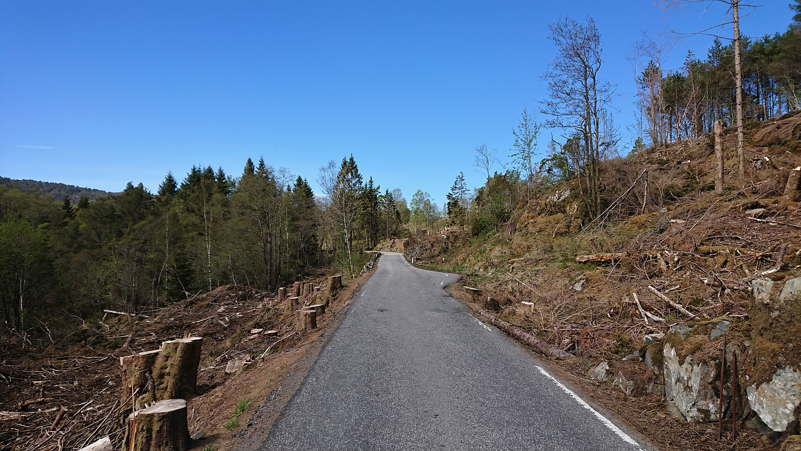
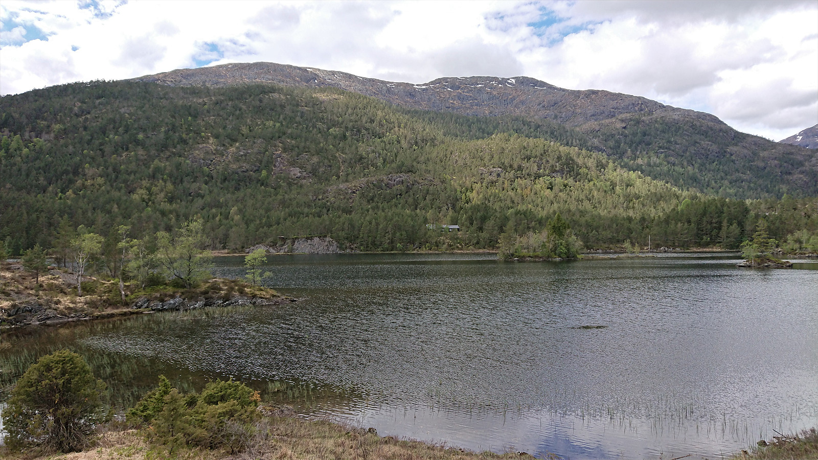 Long cycling trip around Gullfjellet via Åsane, Trengereid and (almost to) Osøyro. Close to all of the trip was on either separate cycling paths or along roads with very limited traffic. The main exception being the section from Trengereid (from after the short tunnel above the roundabout) to Hisdal. Here the only option is to share the road with the high-speed traffic. It is therefore recommended to avoid cycling here at times when there may be a lot of traffic.
Note that it is straightforward to avoid the second slightly longer tunnel just before reaching Hisdal. The trick is to use the nice gravel road on the south side of the tunnel. As a bonus you get a very nice view towards Samnangerfjorden. I passed through the first tunnel, as it was much shorter and there was not a lot of traffic, >>>
Long cycling trip around Gullfjellet via Åsane, Trengereid and (almost to) Osøyro. Close to all of the trip was on either separate cycling paths or along roads with very limited traffic. The main exception being the section from Trengereid (from after the short tunnel above the roundabout) to Hisdal. Here the only option is to share the road with the high-speed traffic. It is therefore recommended to avoid cycling here at times when there may be a lot of traffic.
Note that it is straightforward to avoid the second slightly longer tunnel just before reaching Hisdal. The trick is to use the nice gravel road on the south side of the tunnel. As a bonus you get a very nice view towards Samnangerfjorden. I passed through the first tunnel, as it was much shorter and there was not a lot of traffic, >>>
Cycling: Flaktveit
- Date:
- 17.05.2021
- Characteristic:
- Bike trip - road
- Duration:
- 1:39h
- Distance:
- 25.5km
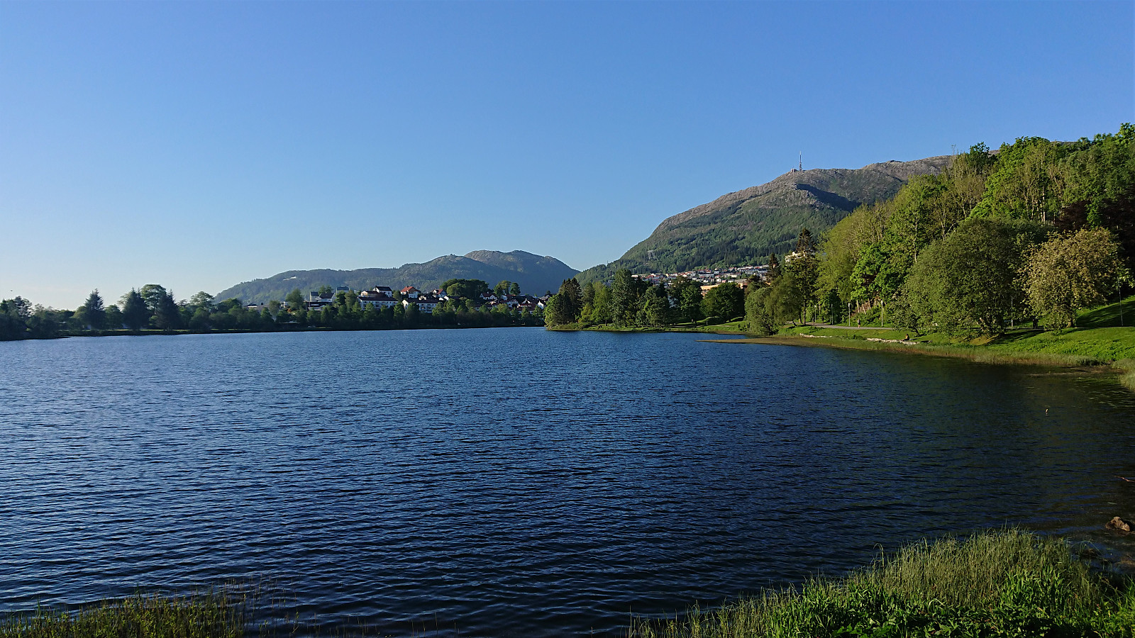
 Evening cycling trip exploring Flaktveit.
Cycling: Neshamn
- Date:
- 13.05.2021
- Characteristic:
- Bike trip - road
- Duration:
- 11:54h
- Distance:
- 112.9km
 The main objective of the day was to visit Kleppavarden at Tysnes, and the trailhead was to be reached by bike. When I started cycling from Lønborg, low-hanging clouds were covering half of Askøy, and the clouds had still not started lifting when I arrived at Halhjem, where I was too early and had to wait more than 40 minutes for the ferry. When getting off the ferry at Våge, the clouds finally disappeared as I followed the main road to Søreidsvågen, from where I continued on the smaller Neshamnvegen to the marked trailhead for Kleppavarden next to Kongsviktjørna. Here I left the bike behind and continued on foot. See the separate report here: Nesevarden, Kleppavarden and Hovåsen from Kongsviktjørna . Upon returning to the bike, I still had plenty of time until the ferry at Våge, and I therefore first made a short detour to Neshamn before following the >>>
Cycling: Fjellveien
- Date:
- 11.05.2021
- Characteristic:
- Bike trip - road
- Duration:
- 2:54h
- Distance:
- 15.0km
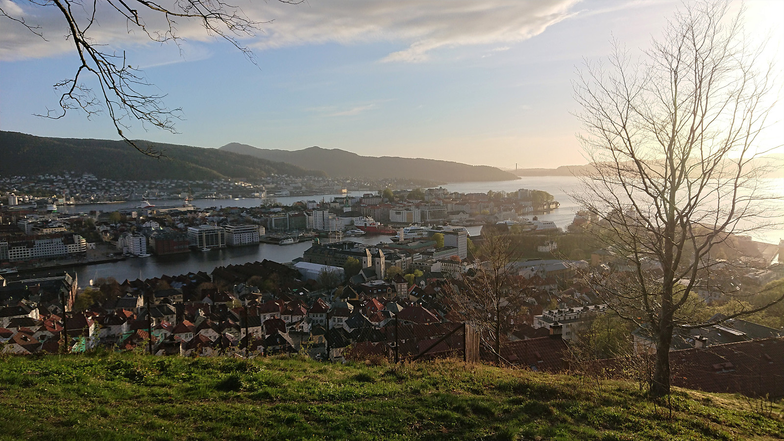 Short local cycling trip that also included an extended break to properly clean the bike.
