Archive - Date
Archive - Activity
-
Bike trip (108)
- Bike trip - mixed (25)
- Bike trip - road (83)
-
Drive (9)
- Car drive (9)
-
Other trip (3)
- Kayaking (3)
-
Ski trip (115)
- Backcountry skiing (68)
- Cross-country skiing (47)
- Trip by foot (1870)
Collected lists
-
Utvalgte topper og turmål i Bergen
(346/347)
 99%
99% -
Alle topper i Bergen
(391/398)
98%
-
Voss ≥ 100m pf.
(96/98)
97%
-
Opptur Hordaland
(144/159)
90%
-
Stasjoner på Bergensbanen
(31/40)
77%
-
Ulvik ≥ 100m pf.
(28/38)
73%
-
Hordaland ≥ 100m pf.
(619/863)
71%
-
Mjølfjell PF > 100m
(21/31)
67%
-
Jondal ≥ 100m pf.
(15/23)
65%
-
Dagsturhyttene i Vestland
(36/61)
59%
-
Sunnhordland PF >= 100m
(105/186)
56%
-
Hordaland: Hardanger PF>=100m
(191/359)
53%
-
DNT-hytter i Hordaland
(23/45)
51%
-
Kvinnherad ≥ 100m pf.
(40/79)
50%
-
Sogndal ≥ 100m pf.
(23/81)
28%
-
Gulen ≥ 100m pf.
(14/54)
25%
-
Eidfjord ≥ 100m pf.
(10/42)
23%
-
Vik i Sogn ≥ 100m pf.
(10/46)
21%
-
Sogn - Sør for Sognefjorden PF>=100m
(30/159)
18%
-
DNT-hytter i Sogn og Fjordane
(8/47)
17%

Duesundfjellet from Duesund Brannstasjon
- Date:
- 10.02.2024
- Characteristic:
- Hillwalk
- Duration:
- 0:52h
- Distance:
- 1.8km
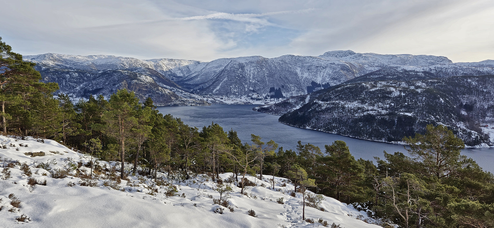 Initially, Endre and I were going skiing this weekend, but due to worsening weather forecasts we decided to abandon those plans and instead leave the skis at home and head to the northwestern part of Masfjorden. This was an area that neither of us had visited before and hence there should be lots of relatively easy peaks to ascend. I had made a rough plan the evening before that included up to seven peaks, depending on how long each of them would take.
We started by driving to Masfjordnes where we arrived almost half an hour before the ferry to Duesund. After a short drive on the other side of the fjord, we parked next to Duesund Brannstasjon and easily located the stone steps marking the start of the trail to Duesundfjellet .
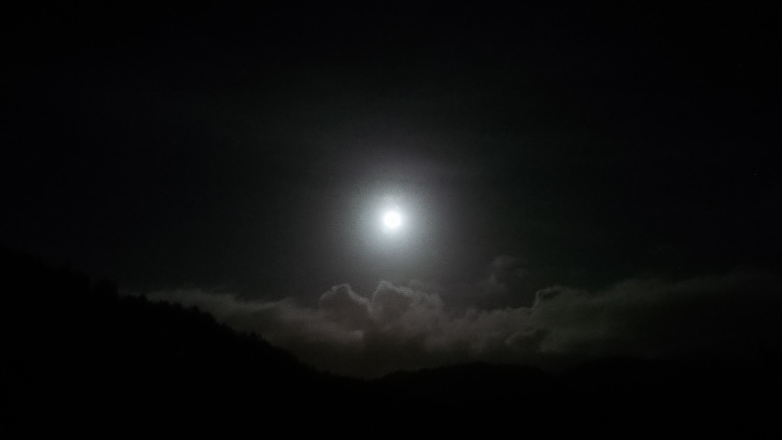
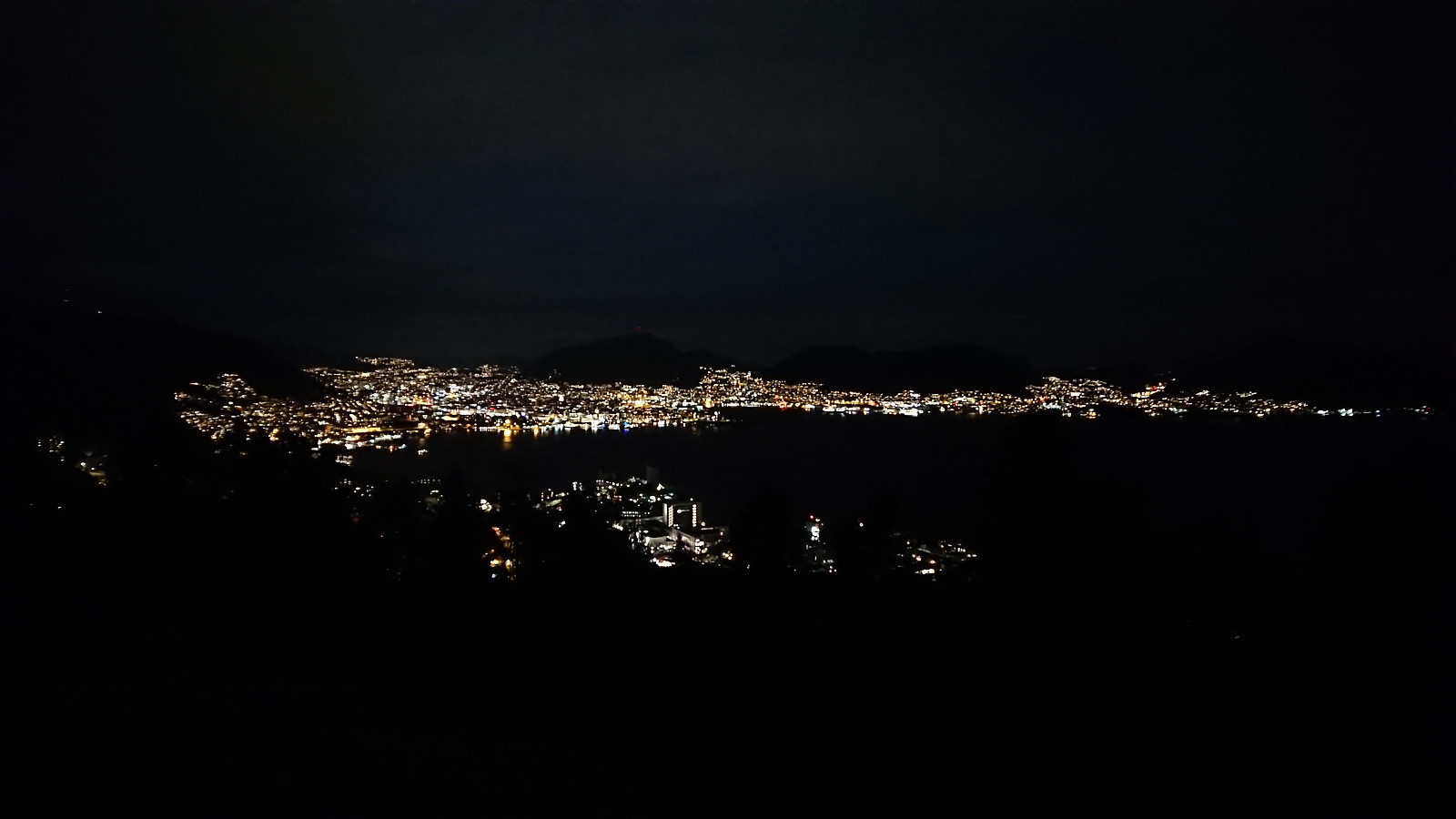
The trail was overall easy to follow, and there was even the occasional trail marker, >>>
Initially, Endre and I were going skiing this weekend, but due to worsening weather forecasts we decided to abandon those plans and instead leave the skis at home and head to the northwestern part of Masfjorden. This was an area that neither of us had visited before and hence there should be lots of relatively easy peaks to ascend. I had made a rough plan the evening before that included up to seven peaks, depending on how long each of them would take.
We started by driving to Masfjordnes where we arrived almost half an hour before the ferry to Duesund. After a short drive on the other side of the fjord, we parked next to Duesund Brannstasjon and easily located the stone steps marking the start of the trail to Duesundfjellet .
The trail was overall easy to follow, and there was even the occasional trail marker, >>>
Across Hellen festning
- Date:
- 09.02.2024
- Characteristic:
- Hike
- Duration:
- 0:36h
- Distance:
- 3.2km
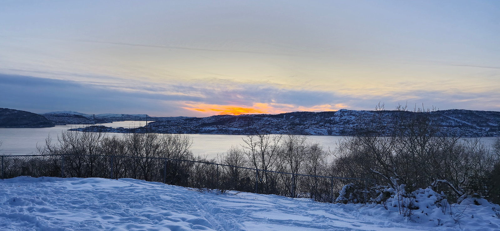 Short local hike just after sunset.
Hylkje to Haukås via Stuhaugen and Jonsterhaug søyle
- Date:
- 04.02.2024
- Characteristic:
- Hillwalk
- Duration:
- 1:46h
- Distance:
- 6.4km
 I had come across a potential new candidate for the Søyler (fastmerker) i Bergen list at Hylkjeneset and decided to have a closer look as the information at bergenskart.no did not reveal the type of trig marker. From the bus stop at Hylkje I followed the roads to Hylkjeneset and the marked trailhead for Geitskaret.
The marked trail provided excellent views across Sørfjorden to Osterøy but did not pass by the highest point at the small hill Stuhaugen where the trig marker was supposed to be (now added as its own PB-element). However, just as I was about to leave the trail and head the final short off-trail distance to the summit I did came across a trig marker, but not of the kind I had expected and not at the correct location. This one was of the taller type held up by metal wires and was located at the lower hill less than 100 meters southeast >>>
I had come across a potential new candidate for the Søyler (fastmerker) i Bergen list at Hylkjeneset and decided to have a closer look as the information at bergenskart.no did not reveal the type of trig marker. From the bus stop at Hylkje I followed the roads to Hylkjeneset and the marked trailhead for Geitskaret.
The marked trail provided excellent views across Sørfjorden to Osterøy but did not pass by the highest point at the small hill Stuhaugen where the trig marker was supposed to be (now added as its own PB-element). However, just as I was about to leave the trail and head the final short off-trail distance to the summit I did came across a trig marker, but not of the kind I had expected and not at the correct location. This one was of the taller type held up by metal wires and was located at the lower hill less than 100 meters southeast >>>
Four trig markers west and south of Flesland
- Date:
- 03.02.2024
- Characteristic:
- Hike
- Duration:
- 3:19h
- Distance:
- 14.8km
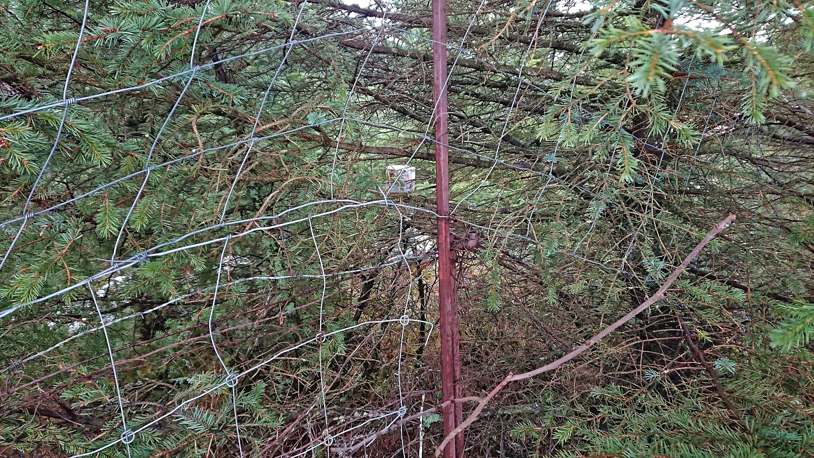
 This Saturday I used the Søyler (fastmerker) i Bergen list as inspiration to visit some new areas in Bergen. Started by taking Bybanen to Flesland and finding my way to Sletten søyle . Note that to get to the trig marker I had to step over two fences and the final stretch was quite wet and contained lots of fallen trees.
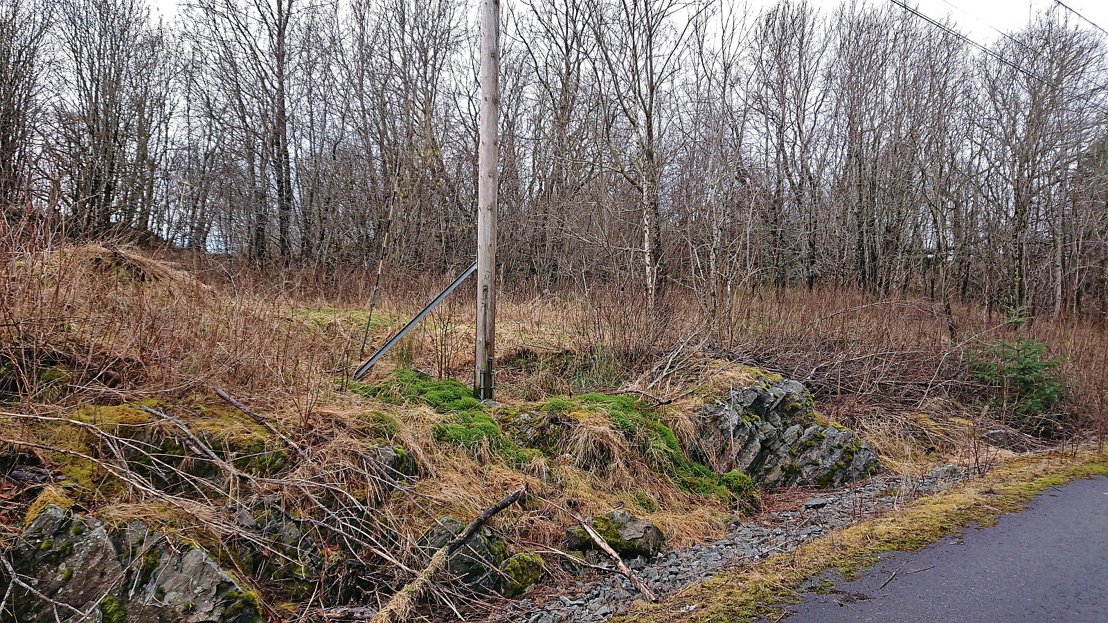
Next, I headed to Espeland søyle via Lønningshavn. Also this trig marker could be easily visited from the southeast. There were even traces of an old road just east of the small hill containing the trig marker.
I returned to the road and continued east to Kletten søyle . Thanks to an open gate west of Kletten, this trig marker did not present any real challenges either and the small hill also provided the best views of the day.
The final planned trig marker visit was Håvardstun søyle , but on the way there I also made a quick stop at Moahagen (73.5 m, 32V 294034 6689309). >>>
This Saturday I used the Søyler (fastmerker) i Bergen list as inspiration to visit some new areas in Bergen. Started by taking Bybanen to Flesland and finding my way to Sletten søyle . Note that to get to the trig marker I had to step over two fences and the final stretch was quite wet and contained lots of fallen trees.
Next, I headed to Espeland søyle via Lønningshavn. Also this trig marker could be easily visited from the southeast. There were even traces of an old road just east of the small hill containing the trig marker.
I returned to the road and continued east to Kletten søyle . Thanks to an open gate west of Kletten, this trig marker did not present any real challenges either and the small hill also provided the best views of the day.
The final planned trig marker visit was Håvardstun søyle , but on the way there I also made a quick stop at Moahagen (73.5 m, 32V 294034 6689309). >>>
Across Hellen festning
- Date:
- 01.02.2024
- Characteristic:
- Hike
- Duration:
- 0:36h
- Distance:
- 3.2km
 Short local evening hike.
Ørneberget and Hellen festning
- Date:
- 30.01.2024
- Characteristic:
- Hillwalk
- Duration:
- 0:54h
- Distance:
- 4.1km
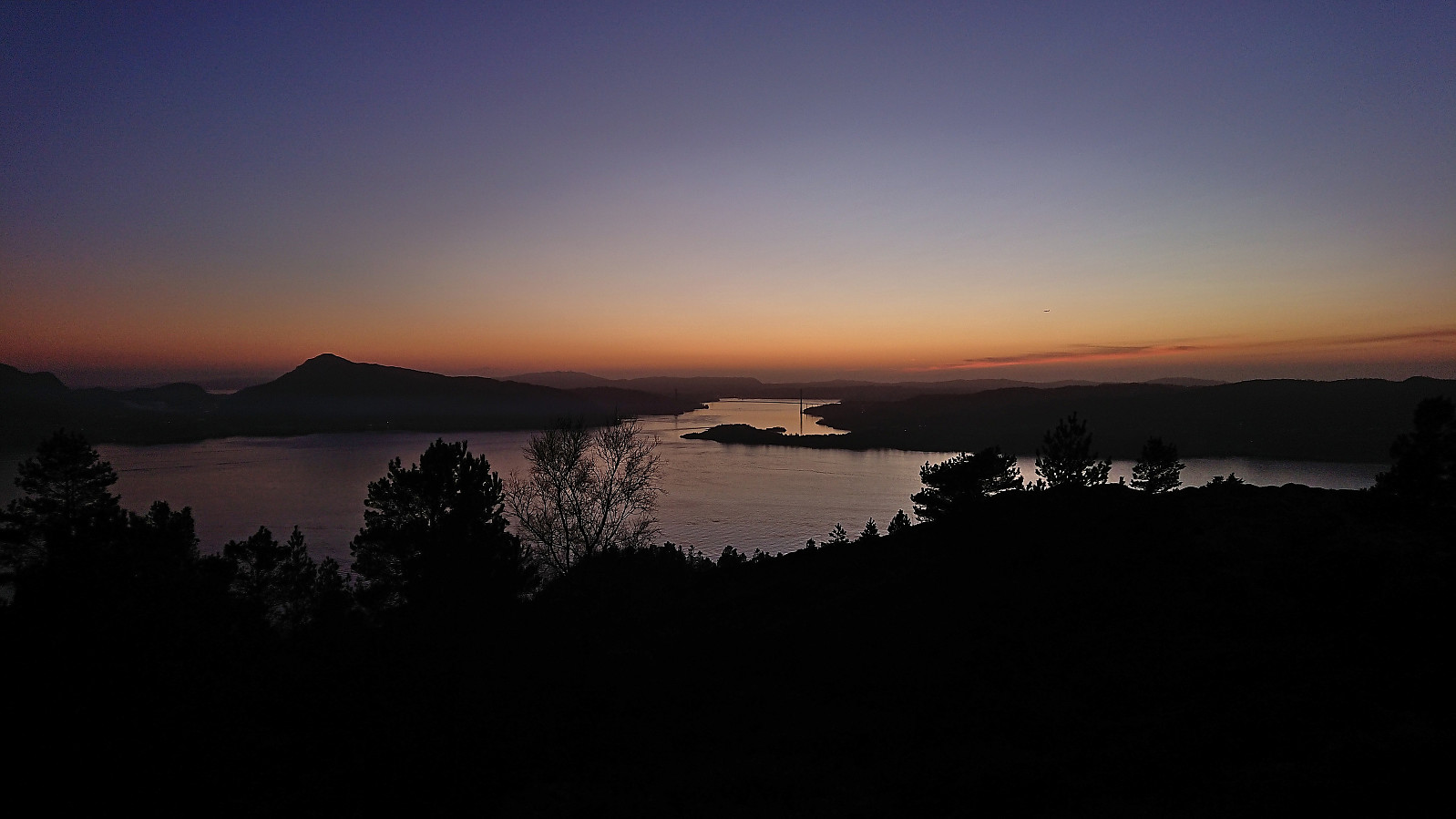 Short local hike just after sunset.
Bjørnåsen and Fuglen
- Date:
- 28.01.2024
- Characteristic:
- Hillwalk
- Duration:
- 1:37h
- Distance:
- 7.5km
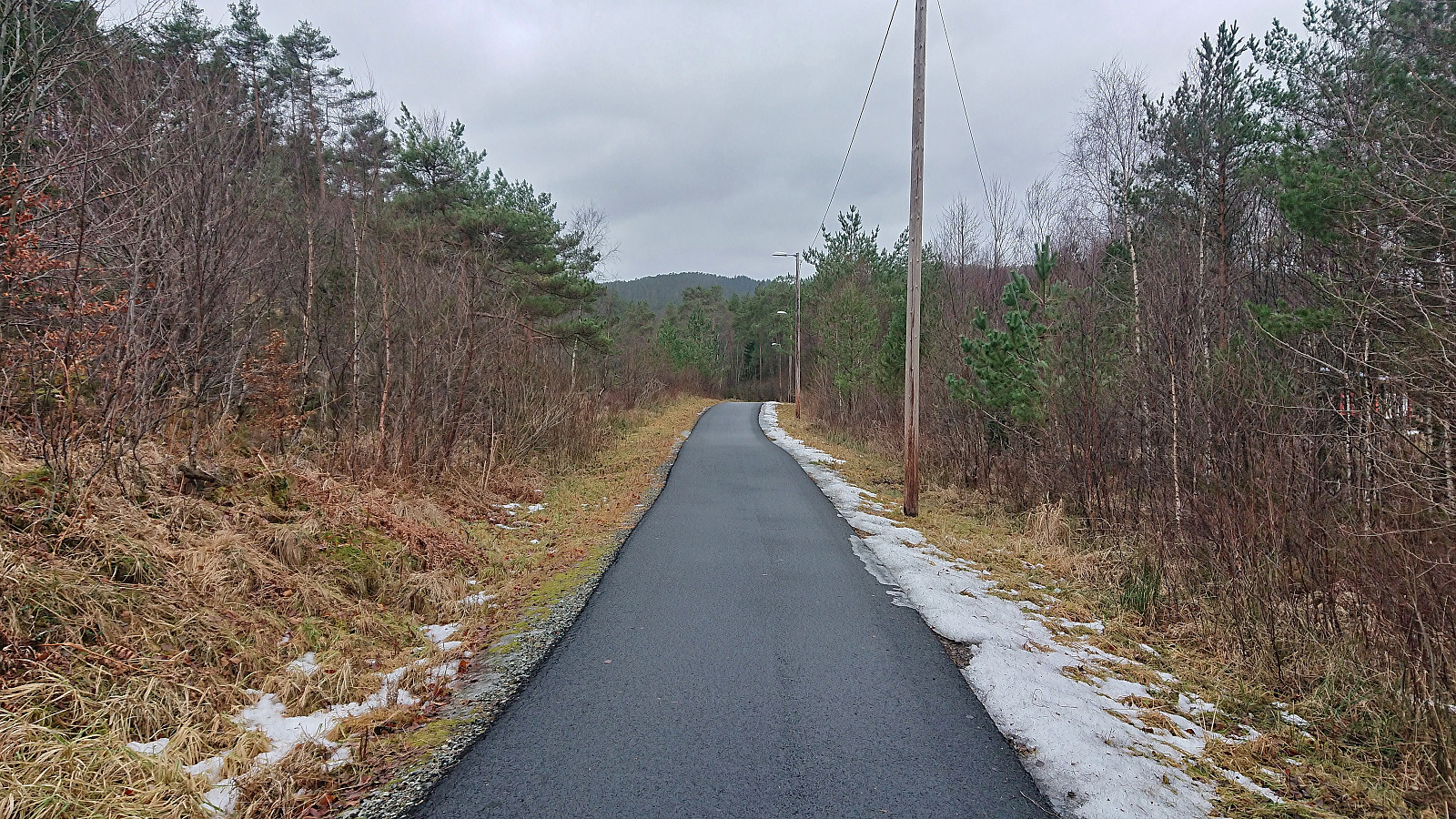 In the report from my visit of Bjørnåsen in 2021 I had commented that the trail seemed to continue towards a slightly lower hill to the north called Fuglen and that perhaps this had to be explored one day. With Fuglen recently having been added as its own PB-element, that day had arrived. This time I arrived on foot via the cycling and walking path from the bus stop at Kalandseidet.
I first followed the same trail as last time to Bjørnåsen and from there continued north in the direction of Fuglen. While there was a weak trail, and even some trail markers, I quickly lost the trail and was left finding my own way. The terrain however did not present any challenges and the highest point of Fuglen was easily reached.
As expected, Fuglen provided the same limited views as Bjørnåsen and I did not stay long before descending off-trail to reconnect with the >>>
In the report from my visit of Bjørnåsen in 2021 I had commented that the trail seemed to continue towards a slightly lower hill to the north called Fuglen and that perhaps this had to be explored one day. With Fuglen recently having been added as its own PB-element, that day had arrived. This time I arrived on foot via the cycling and walking path from the bus stop at Kalandseidet.
I first followed the same trail as last time to Bjørnåsen and from there continued north in the direction of Fuglen. While there was a weak trail, and even some trail markers, I quickly lost the trail and was left finding my own way. The terrain however did not present any challenges and the highest point of Fuglen was easily reached.
As expected, Fuglen provided the same limited views as Bjørnåsen and I did not stay long before descending off-trail to reconnect with the >>>
Bønes søyle
- Date:
- 27.01.2024
- Characteristic:
- Hike
- Duration:
- 0:47h
- Distance:
- 4.0km
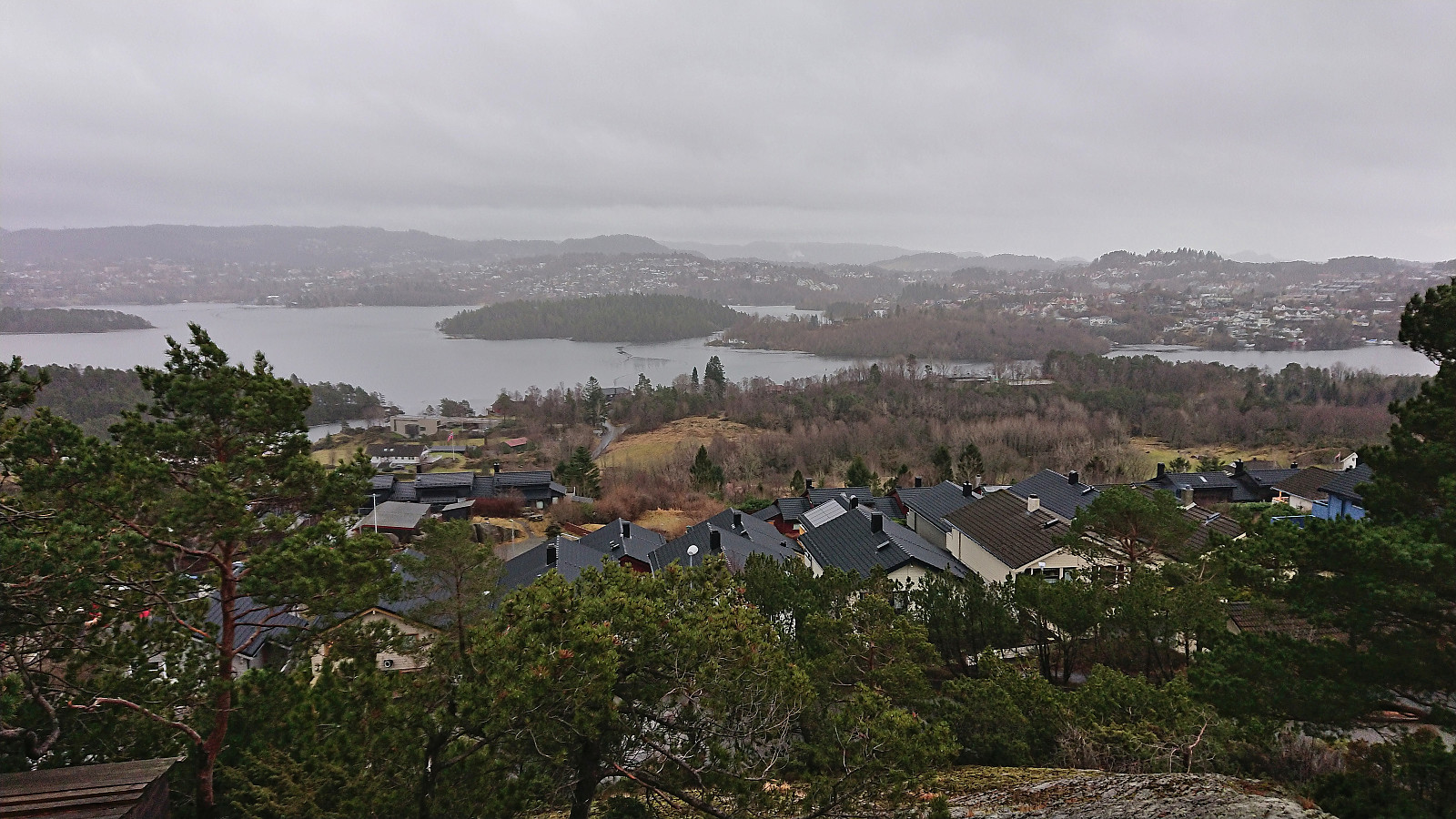 Yet another gray weekend and yet another short Saturday hike. This time to the trig marker at Bønes . I started by taking the bus to "Bønes senter" and from there completed the short walk to today's target. The trig marker was located on a small hill next to several houses but could be easily accessed from the northwest via a small playground. There was even a weak path which helped reduce the feeling of trespassing. Given that the visit of the trig marker had taken less than five minutes, I extended the hike by walking along the roads to Oasen before taking the bus home.
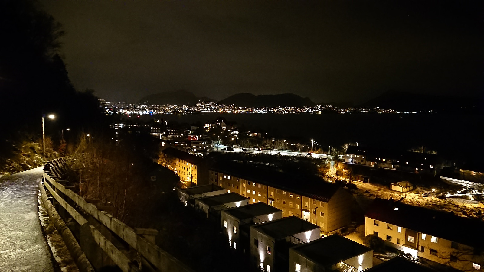
Hellen festning and Furukammen
- Date:
- 26.01.2024
- Characteristic:
- Hike
- Duration:
- 1:05h
- Distance:
- 5.0km
 Short local evening hike.
Ørneberget and Furukammen
- Date:
- 25.01.2024
- Characteristic:
- Hillwalk
- Duration:
- 0:59h
- Distance:
- 4.5km
 Short local evening hike.
