Archive - Date
Archive - Activity
-
Bike trip (108)
- Bike trip - mixed (25)
- Bike trip - road (83)
-
Drive (9)
- Car drive (9)
-
Other trip (3)
- Kayaking (3)
-
Ski trip (115)
- Backcountry skiing (68)
- Cross-country skiing (47)
- Trip by foot (1870)
Collected lists
-
Utvalgte topper og turmål i Bergen
(346/347)
 99%
99% -
Alle topper i Bergen
(391/398)
98%
-
Voss ≥ 100m pf.
(96/98)
97%
-
Opptur Hordaland
(144/159)
90%
-
Stasjoner på Bergensbanen
(31/40)
77%
-
Ulvik ≥ 100m pf.
(28/38)
73%
-
Hordaland ≥ 100m pf.
(619/863)
71%
-
Mjølfjell PF > 100m
(21/31)
67%
-
Jondal ≥ 100m pf.
(15/23)
65%
-
Dagsturhyttene i Vestland
(36/61)
59%
-
Sunnhordland PF >= 100m
(105/186)
56%
-
Hordaland: Hardanger PF>=100m
(191/359)
53%
-
DNT-hytter i Hordaland
(23/45)
51%
-
Kvinnherad ≥ 100m pf.
(40/79)
50%
-
Sogndal ≥ 100m pf.
(23/81)
28%
-
Gulen ≥ 100m pf.
(14/54)
25%
-
Eidfjord ≥ 100m pf.
(10/42)
23%
-
Vik i Sogn ≥ 100m pf.
(10/46)
21%
-
Sogn - Sør for Sognefjorden PF>=100m
(30/159)
18%
-
DNT-hytter i Sogn og Fjordane
(8/47)
17%

Across Hellen festning
- Date:
- 30.04.2026
- Characteristic:
- Hike
- Duration:
- 0:36h
- Distance:
- 3.1km
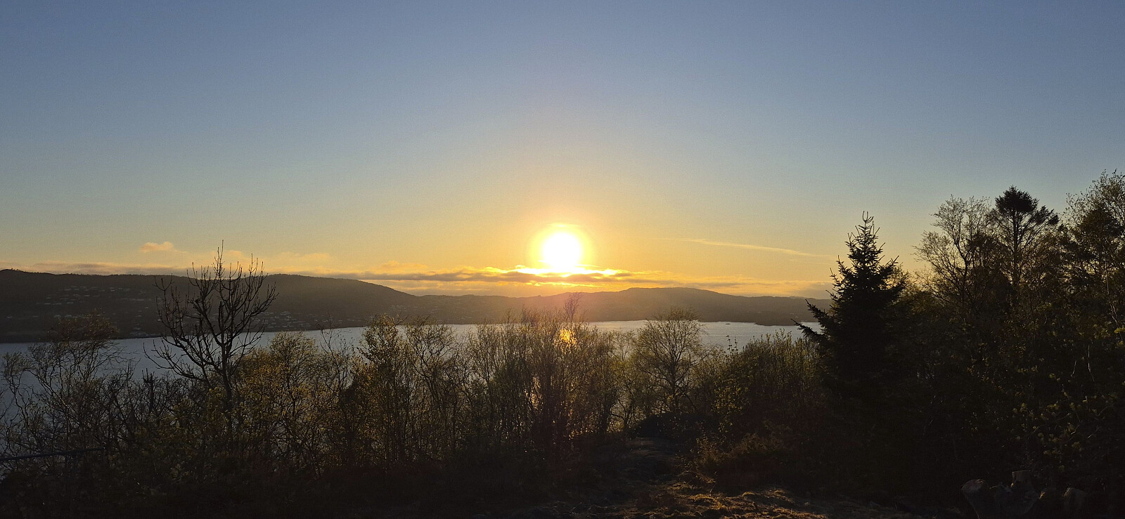 Short local evening hike.
Furukammen
- Date:
- 27.04.2026
- Characteristic:
- Hike
- Duration:
- 0:49h
- Distance:
- 4.3km
 Short local evening hike.
Gulakvila, Kvitebergnova and Flogefjellet from Sollibotn
- Date:
- 26.04.2026
- Characteristic:
- Hillwalk
- Duration:
- 8:53h
- Distance:
- 25.4km
 After travelling 1.5 hours north on the express boat from Bergen, I got off a Sollibotn and continued on foot towards Gulakvila . I only had to walk less than 100 meters along the paved road before switching to a gravel path that took me up to the marked trailhead and a marked trail that could easily be followed via Løypingsåsen to the cabin.
My next goal was Kvitebergnova . In advance I had considered two options: (i) descend to Eivindvik and ascend from Midttun (where I, thanks to Lise Grønbukt 's trip report , had learnt about a marked trail) or (ii) head northwest and ascend via Høgefjellet . When arriving at the unnamed 123 lake just northeast of Gulakvila, I however came across a sign for Kvitbergnova that pointed east. Hoping that this would save me an unnecessary detour, I decided to give it a go, even though this trail was not indicated on the >>>
After travelling 1.5 hours north on the express boat from Bergen, I got off a Sollibotn and continued on foot towards Gulakvila . I only had to walk less than 100 meters along the paved road before switching to a gravel path that took me up to the marked trailhead and a marked trail that could easily be followed via Løypingsåsen to the cabin.
My next goal was Kvitebergnova . In advance I had considered two options: (i) descend to Eivindvik and ascend from Midttun (where I, thanks to Lise Grønbukt 's trip report , had learnt about a marked trail) or (ii) head northwest and ascend via Høgefjellet . When arriving at the unnamed 123 lake just northeast of Gulakvila, I however came across a sign for Kvitbergnova that pointed east. Hoping that this would save me an unnecessary detour, I decided to give it a go, even though this trail was not indicated on the >>>
Sjurstonipa from Breistein via Ytre Arna
- Date:
- 25.04.2026
- Characteristic:
- Hillwalk
- Duration:
- 3:05h
- Distance:
- 9.8km
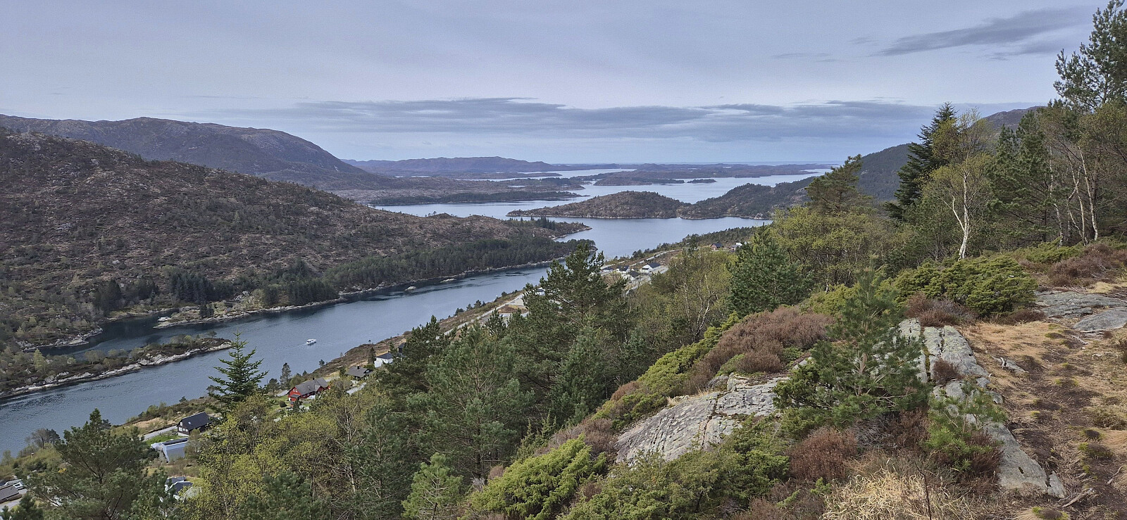
 On a nice but windy Saturday I stayed away from the higher peaks and instead tried a new route from Breistein to Ytre Arna before heading via Sjurstonipa and Spåkefjellet on my way to Gaupås. Overall, a nice hike along good trails and great views. Can be recommended.
Across Hellen festning
- Date:
- 23.04.2026
- Characteristic:
- Hike
- Duration:
- 0:37h
- Distance:
- 3.2km
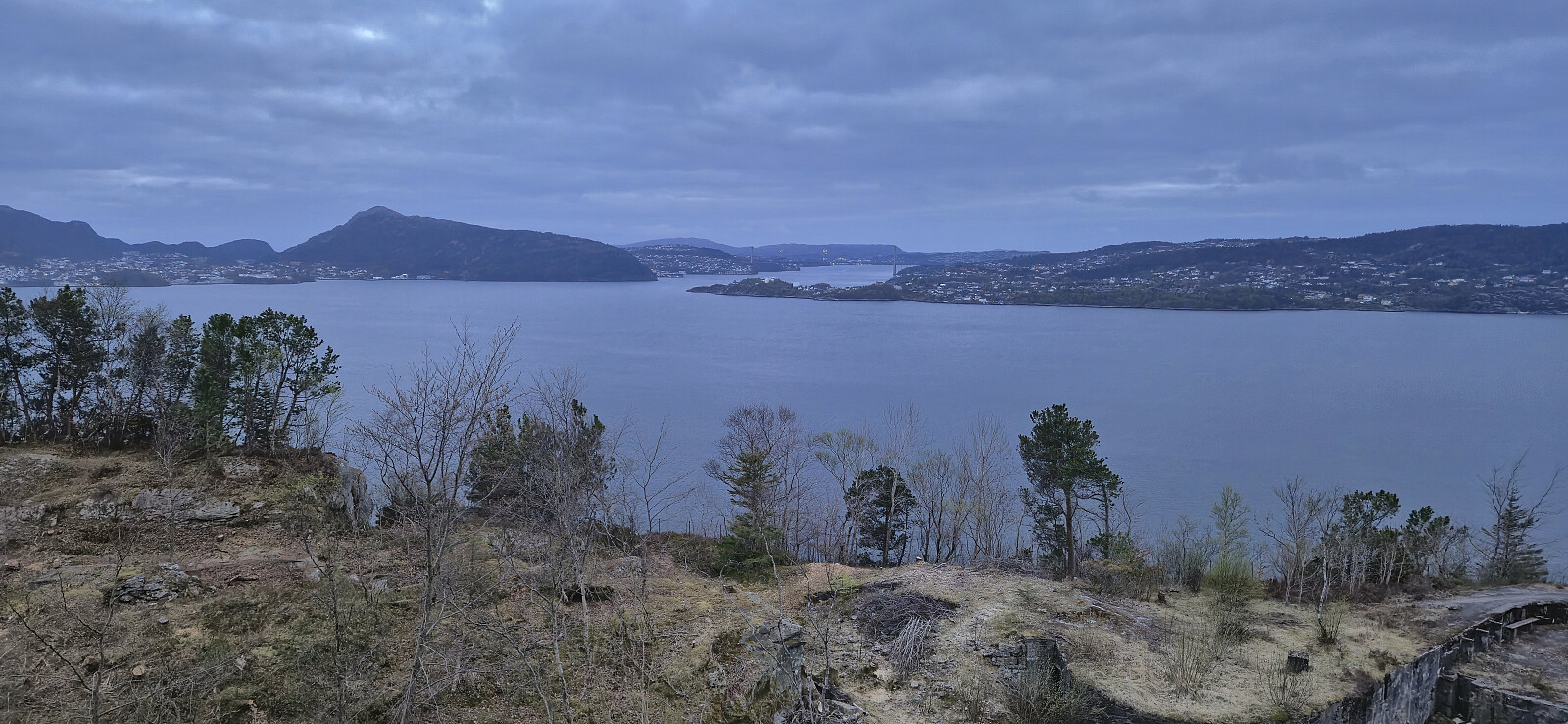 Short local evening hike.
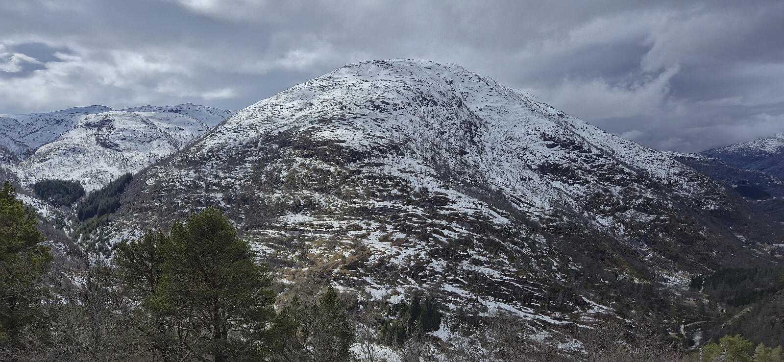
Nukane, Storsåta and Langelifjellet
- Date:
- 21.04.2026
- Characteristic:
- Hillwalk
- Duration:
- 4:08h
- Distance:
- 9.9km
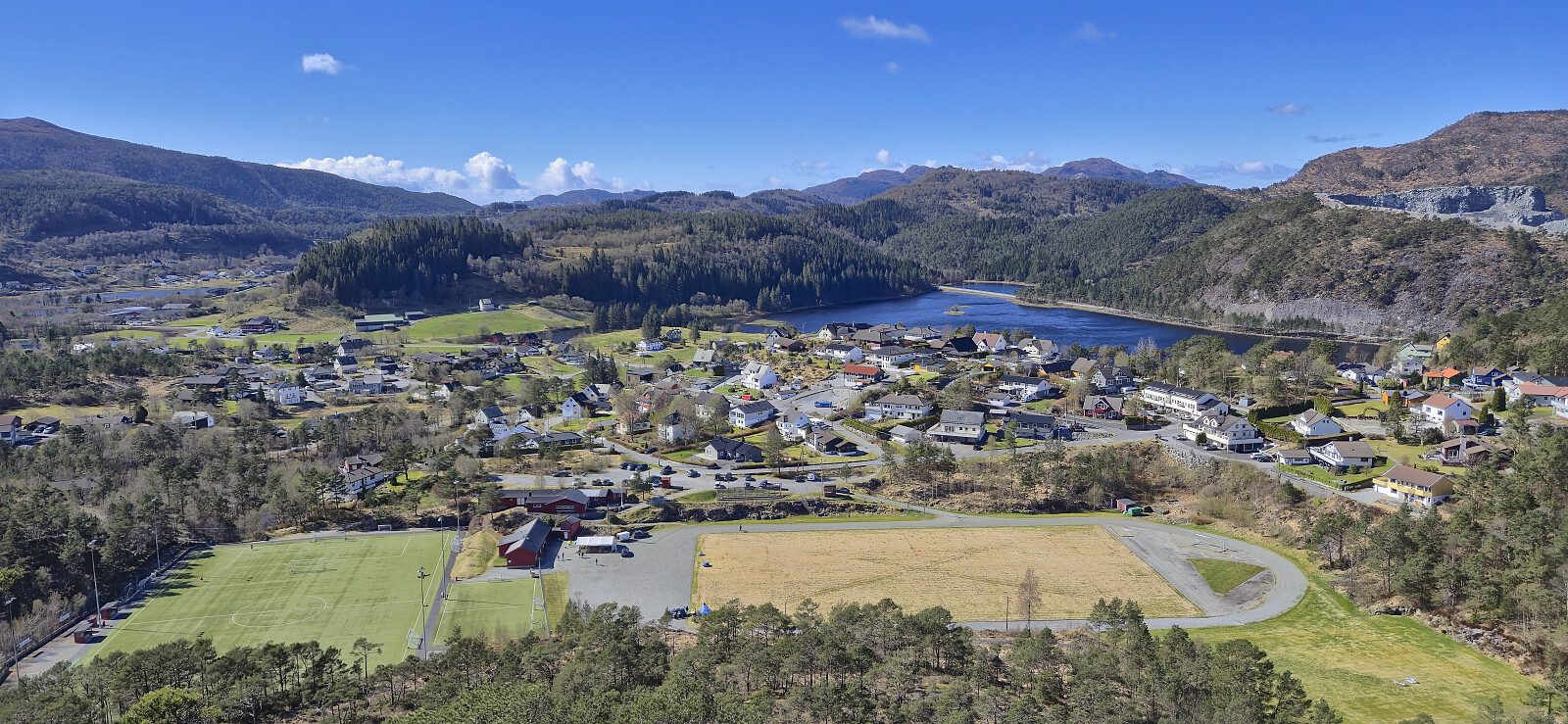
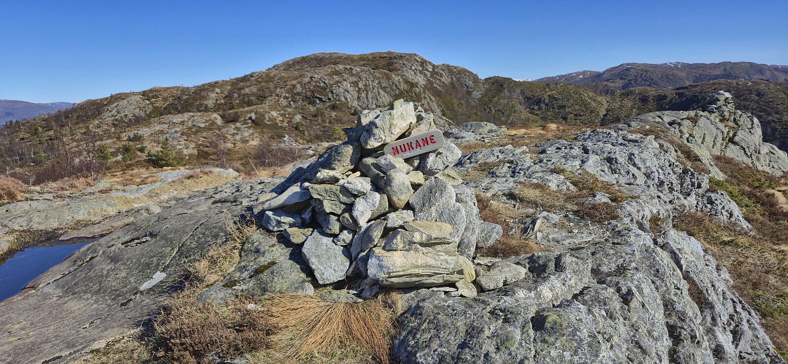 Hike in Åsane with four of my colleagues after work.
Across Hellen festning
- Date:
- 20.04.2026
- Characteristic:
- Hike
- Duration:
- 0:37h
- Distance:
- 3.1km
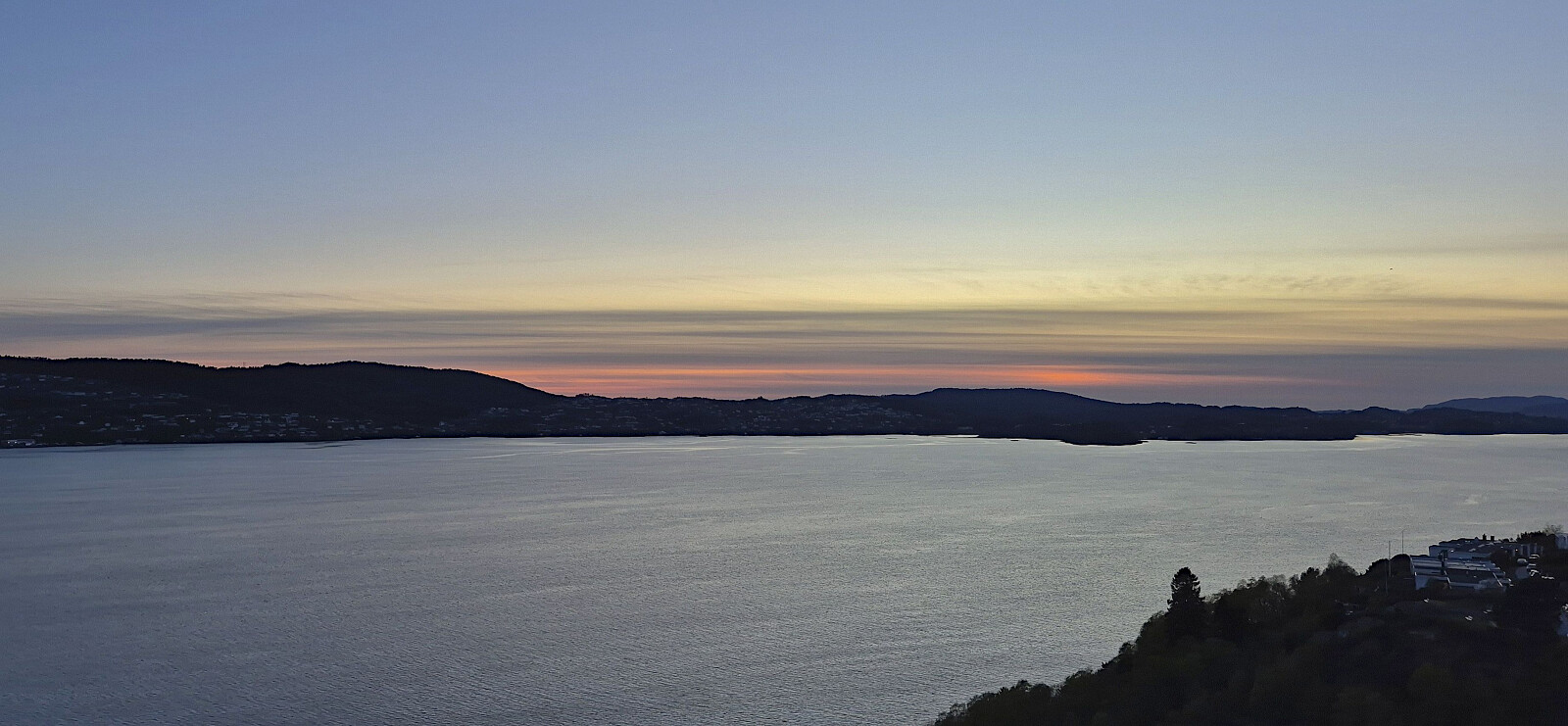
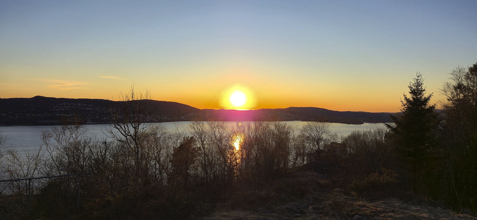 Short local evening hike around sunset.
Ragdebu
- Date:
- 19.04.2026
- Characteristic:
- Hillwalk
- Duration:
- 1:21h
- Distance:
- 4.3km
 Upon completing my trip to Middagsnuten and Nonsnut , I still had plenty of time before the next bus to Bergen. I therefore took a local bus from Skarsmoen to Odda for a visit of Ragdebu . The first sign for Ragdebu was not spotted until the end of Ragdelia but from there on there was multiple signs and arrows along a nice trail to the cabin. I had the location all to myself and could enjoy the great views during a very late lunch break. To extended the hike, and further reduce the waiting time for the bus, I returned to the bus station via Freimsvegen. Slightly longer but resulted in a nice roundtrip.
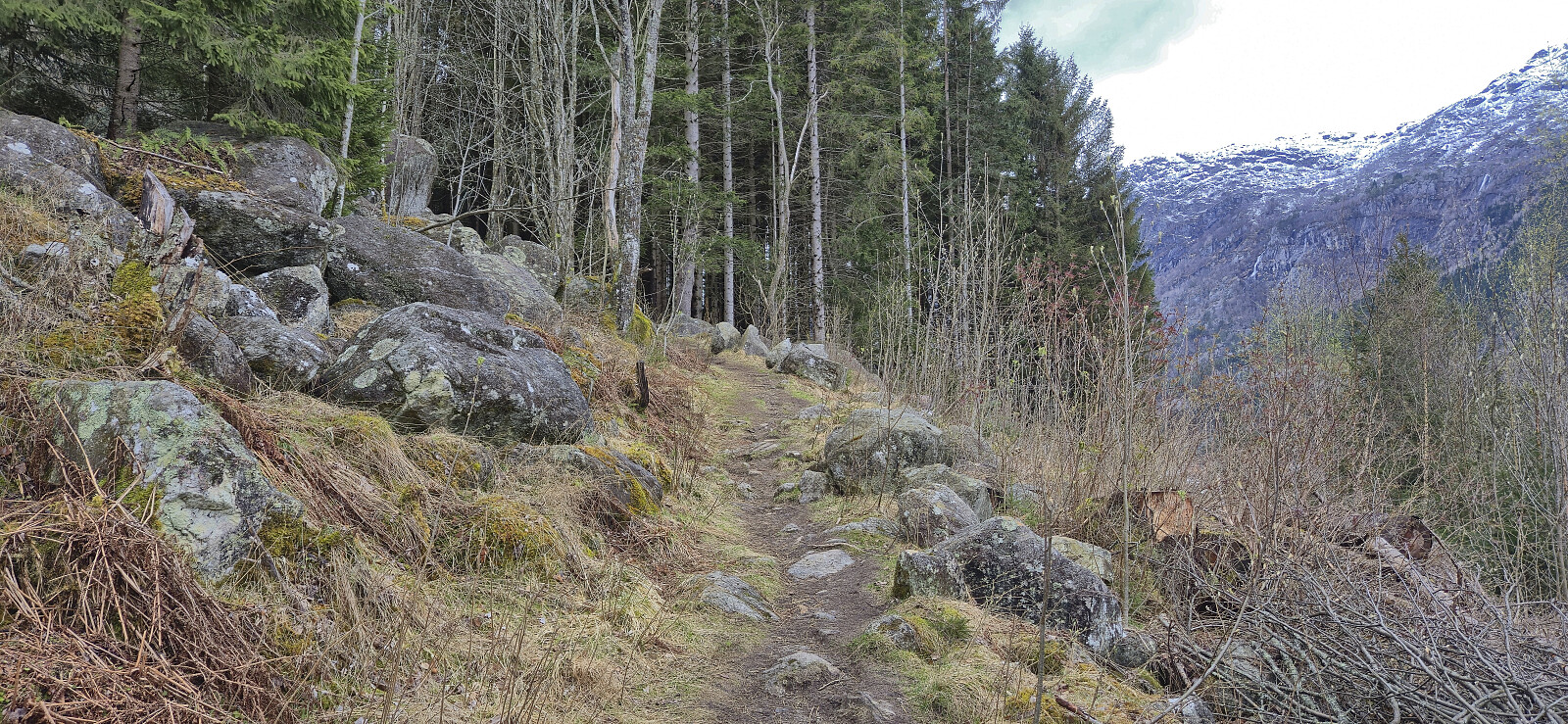
Middagsnuten and Nonsnut
- Date:
- 19.04.2026
- Characteristic:
- Hillwalk
- Duration:
- 2:57h
- Distance:
- 7.2km
 After a long bus ride from Bergen to Odda, I got off at Smørtjørnsmoen from where I could follow a side road up through Middagsnuten Hyttefelt. I then continued on a snow-covered trail to a small building with a large antenna near the summit of Middagsnuten . Before heading to the real summit around 60 meters south of the antenna, I also made a quick visit of the trig marker to the northeast. Excellent views from all locations.
Next, I turned my attention towards Nonsnut and immediately started wondering why this peaks looked much bigger than expected. It was only supposed to be around 30 meters higher and only 700 meters away from my current location but it looked both much higher and much further away. In any case, I first had to descend to the cabins in the valley between the two peaks. Except for initial >>>
After a long bus ride from Bergen to Odda, I got off at Smørtjørnsmoen from where I could follow a side road up through Middagsnuten Hyttefelt. I then continued on a snow-covered trail to a small building with a large antenna near the summit of Middagsnuten . Before heading to the real summit around 60 meters south of the antenna, I also made a quick visit of the trig marker to the northeast. Excellent views from all locations.
Next, I turned my attention towards Nonsnut and immediately started wondering why this peaks looked much bigger than expected. It was only supposed to be around 30 meters higher and only 700 meters away from my current location but it looked both much higher and much further away. In any case, I first had to descend to the cabins in the valley between the two peaks. Except for initial >>>
Rundemanen via Tindevatnet
- Date:
- 18.04.2026
- Characteristic:
- Hillwalk
- Duration:
- 3:06h
- Distance:
- 10.5km
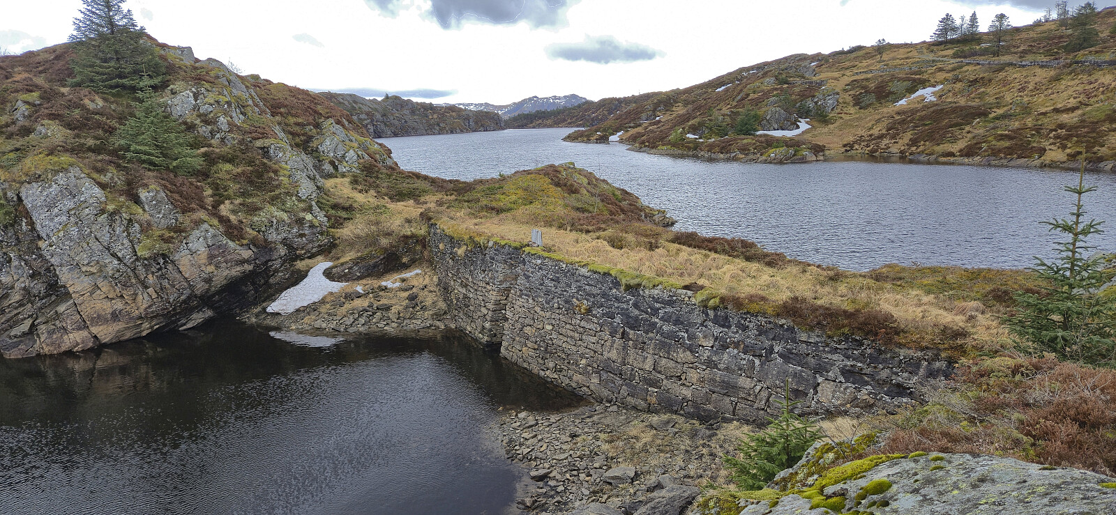 Saturday hike to Rundemanen via a new trail between Store and Lille Tindevatnet.
