Archive - Date
Archive - Activity
-
Bike trip (106)
- Bike trip - mixed (25)
- Bike trip - road (81)
-
Drive (9)
- Car drive (9)
-
Other trip (3)
- Kayaking (3)
-
Ski trip (109)
- Backcountry skiing (65)
- Cross-country skiing (44)
- Trip by foot (1738)
Collected lists
-
Utvalgte topper og turmål i Bergen
(332/333)
 99%
99% -
Alle topper i Bergen
(379/386)
98%
-
Kvam ≥ 100m pf.
(41/44)
93%
-
Opptur Hordaland
(143/159)
89%
-
Voss ≥ 100m pf.
(84/98)
85%
-
Stasjoner på Bergensbanen
(28/36)
77%
-
Hordaland ≥ 100m pf.
(587/863)
68%
-
Ulvik ≥ 100m pf.
(24/38)
63%
-
Jondal ≥ 100m pf.
(13/23)
56%
-
Dagsturhyttene i Vestland
(33/61)
54%
-
Sunnhordland PF >= 100m
(99/186)
53%
-
DNT-hytter i Hordaland
(22/45)
48%
-
Hordaland: Hardanger PF>=100m
(164/359)
45%
-
Kvinnherad ≥ 100m pf.
(35/79)
44%
-
Sogndal ≥ 100m pf.
(23/81)
28%
-
DNT-hytter i Sogn og Fjordane
(8/47)
17%
-
Eidfjord ≥ 100m pf.
(6/42)
14%
-
Etne ≥ 100m pf.
(7/51)
13%
-
Ullensvang ≥ 100m pf.
(17/153)
11%
-
Opptur i Sogn og Fjordane peaks
(17/177)
9%

Ormhaugen
- Date:
- 04.02.2020
- Characteristic:
- Hillwalk
- Duration:
- 1:26h
- Distance:
- 5.5km
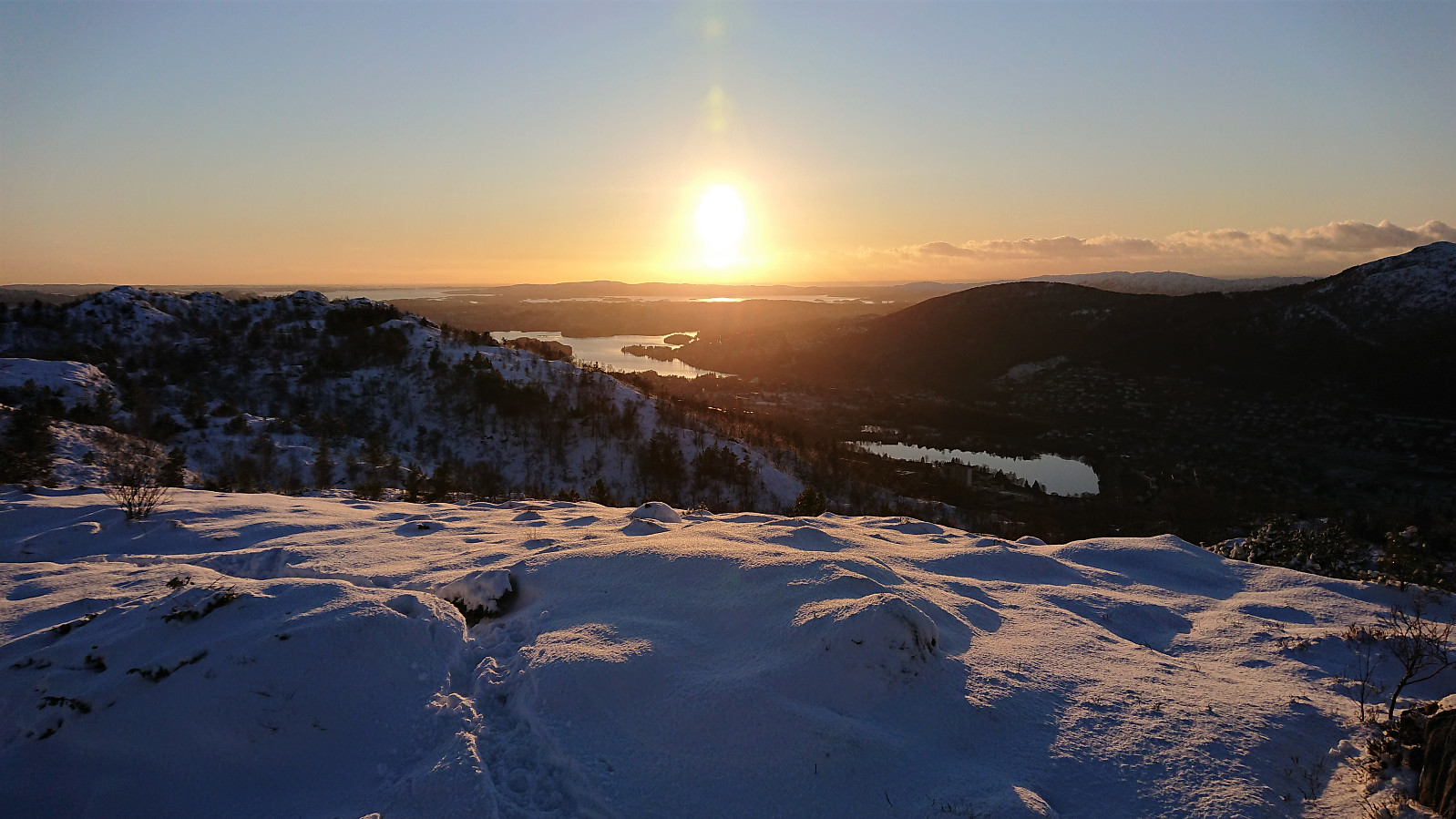 Managed to leave work early enough to enjoy the tail end of a beautiful day for a quick visit of Ormhaugen . Also made a revisit of Perabu on the descent.
Hovda from Våge
- Date:
- 02.02.2020
- Characteristic:
- Hillwalk
- Duration:
- 4:24h
- Distance:
- 21.8km
 Started by taking the bus to Halhjem and the ferry to Våge, from where I walked east along the road for about 8.5 km before locating the marked trailhead for Hovda . On the opposite side of the road from the trailhead, there was also a small parking lot and World War II memorial monument (the latter indicated as "Minnestøtta" on the later trail signs).
For the first 400 meters the trail followed a tractor road, before suddenly turning left and leaving the tractor road behind. If this exit had not been marked I would most likely have skipped it, as it at times looked more like a deer track than a marked trail, and it was also very wet.
The trail markers were not very frequent, but did show up when needed, and was generally easy to follow. Just don't expect to be able to walk from one marker >>>
Started by taking the bus to Halhjem and the ferry to Våge, from where I walked east along the road for about 8.5 km before locating the marked trailhead for Hovda . On the opposite side of the road from the trailhead, there was also a small parking lot and World War II memorial monument (the latter indicated as "Minnestøtta" on the later trail signs).
For the first 400 meters the trail followed a tractor road, before suddenly turning left and leaving the tractor road behind. If this exit had not been marked I would most likely have skipped it, as it at times looked more like a deer track than a marked trail, and it was also very wet.
The trail markers were not very frequent, but did show up when needed, and was generally easy to follow. Just don't expect to be able to walk from one marker >>>
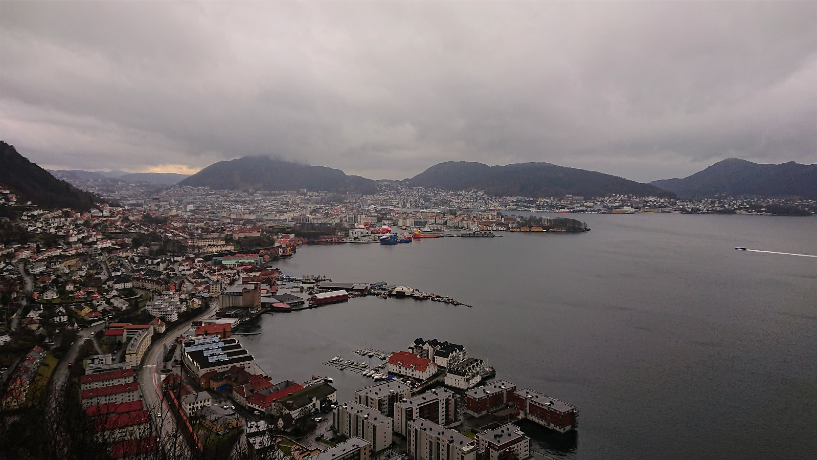
Hellen festning and Furukammen
- Date:
- 01.02.2020
- Characteristic:
- Hike
- Duration:
- 2:11h
- Distance:
- 8.3km
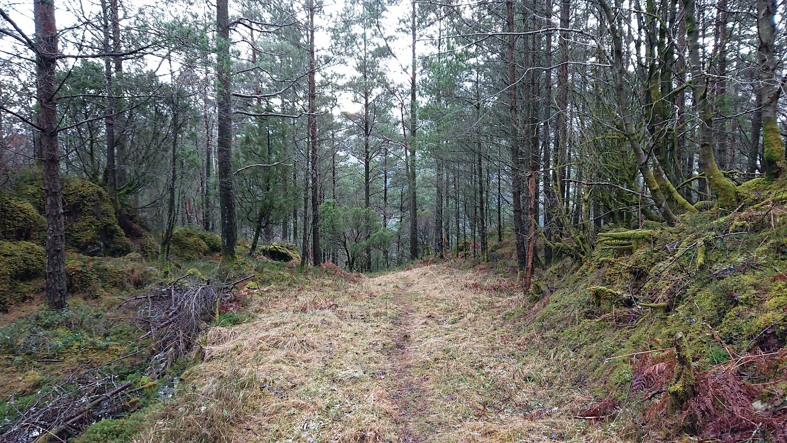
 Local hike in more or less constant rain.
Across Hellen festning
- Date:
- 29.01.2020
- Characteristic:
- Hike
- Duration:
- 0:33h
- Distance:
- 3.2km
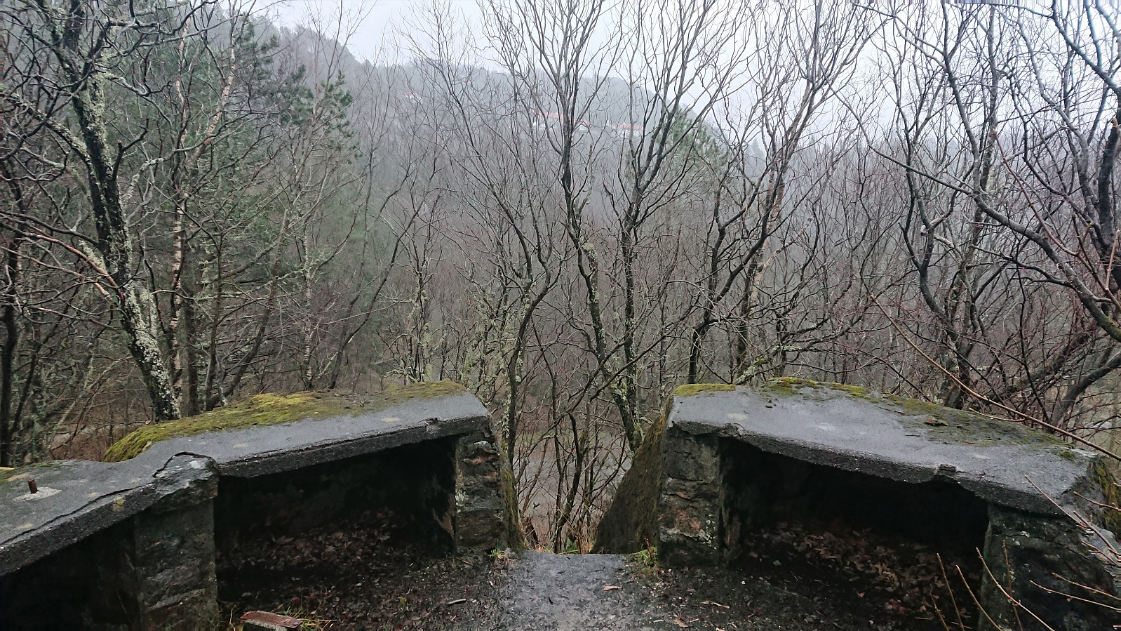
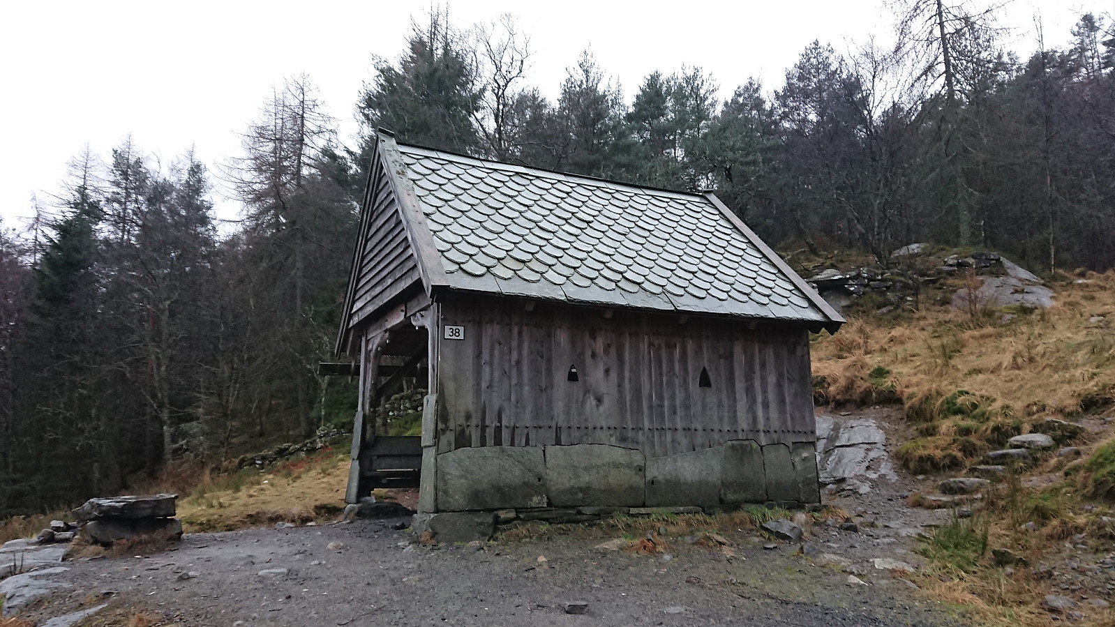
 Managed to squeeze in a short local hike across Hellen festning after work before it got dark.
Sandviksbatteriet, Håmanen and Ørneberget
- Date:
- 26.01.2020
- Characteristic:
- Hillwalk
- Duration:
- 2:58h
- Distance:
- 12.1km
 Local hike in slightly better weather than the day before.
Kronebu, Tubakuba and Vestbu
- Date:
- 25.01.2020
- Characteristic:
- Hike
- Duration:
- 3:27h
- Distance:
- 17.2km
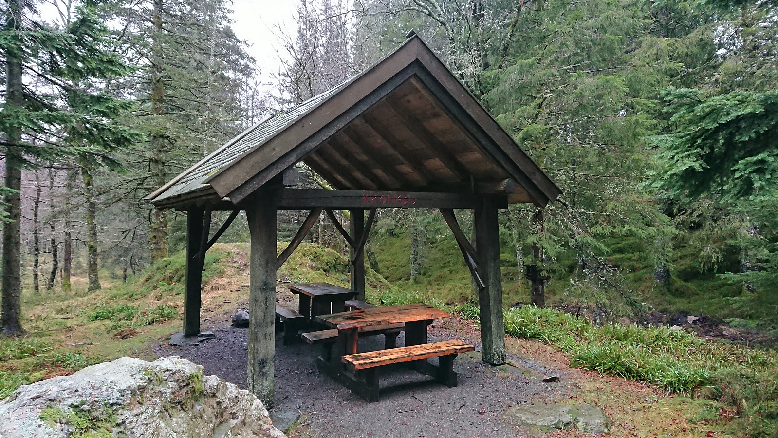 Hike to Fløyen and back in rain and fog. The main goal was to visit and add a couple of new PB-elements: Kronebu , Tubakuba and Vestbu .
Ravnegrind, Matskogen and Perabu
- Date:
- 22.01.2020
- Characteristic:
- Hillwalk
- Duration:
- 1:38h
- Distance:
- 4.9km
 Left work early for a short hike with a colleague to enjoy the for once excellent weather, visiting the two new PB-elements Ravnegrind and Perabu . On our shortcut up to Perabu we also walked through Matskogen.
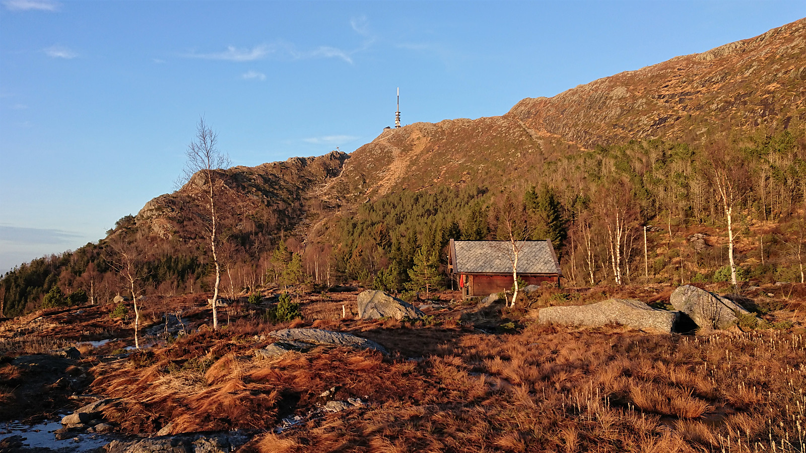
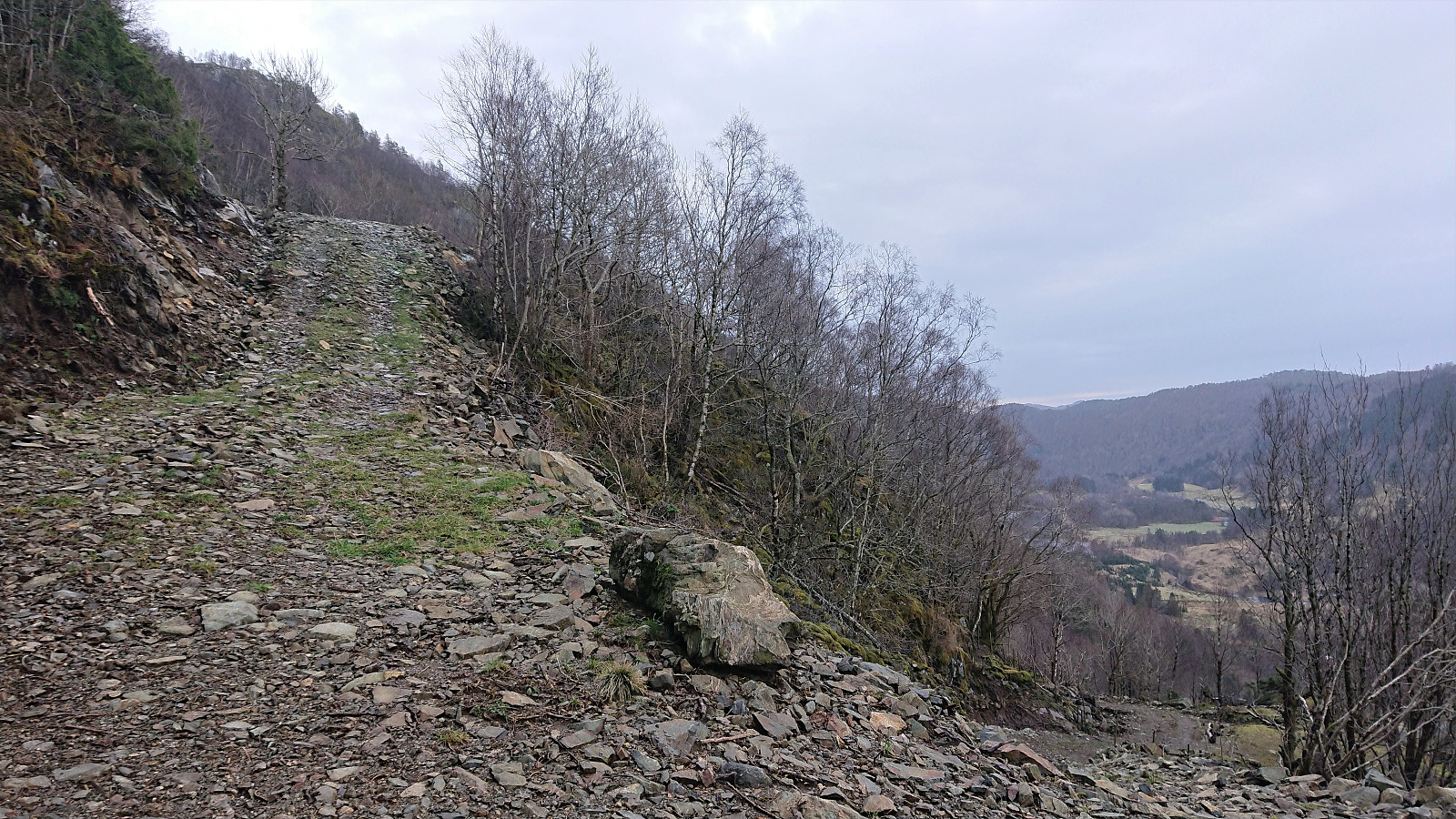
Uggdalsvarden, Singelstadfjellet and Ramnanuten
- Date:
- 19.01.2020
- Characteristic:
- Hillwalk
- Duration:
- 5:39h
- Distance:
- 21.1km
 Given that my last attempt to visit Singelstadfjellet (in combination with Stølafjellet ) had to be abandoned in order to make sure to make it back in time for the ferry (see Stølafjellet and Ilefjellet from Våge ), I was ready for another attempt when a day of reasonable weather finally came around.
As usual, I started by taking the bus to Halhjem and the ferry to Våge, but this time the plan was not to ascend Singelstadfjellet from Dalen, as for my previous hike, but rather from Uggdalsdalen, as my research had uncovered a marked trail from Øyjorda up to Uggdalsvarden : Tursti Øyjoro – Uggdalsvarden , and I assumed it should not be too difficult to continue the short distance to Singelstadfjellet from there.
From Våge I therefore started by walking along the roads to Øyjorda, hoping I would easily locate the trailhead. This was however not the case, and to be sure, I knocked on a couple of doors >>>
Given that my last attempt to visit Singelstadfjellet (in combination with Stølafjellet ) had to be abandoned in order to make sure to make it back in time for the ferry (see Stølafjellet and Ilefjellet from Våge ), I was ready for another attempt when a day of reasonable weather finally came around.
As usual, I started by taking the bus to Halhjem and the ferry to Våge, but this time the plan was not to ascend Singelstadfjellet from Dalen, as for my previous hike, but rather from Uggdalsdalen, as my research had uncovered a marked trail from Øyjorda up to Uggdalsvarden : Tursti Øyjoro – Uggdalsvarden , and I assumed it should not be too difficult to continue the short distance to Singelstadfjellet from there.
From Våge I therefore started by walking along the roads to Øyjorda, hoping I would easily locate the trailhead. This was however not the case, and to be sure, I knocked on a couple of doors >>>
Gullsteinen roundtrip from Grønnestølsbakken
- Date:
- 18.01.2020
- Characteristic:
- Hillwalk
- Duration:
- 2:52h
- Distance:
- 11.8km
 A revisit of Gullsteinen with the main objective to also visit Speiderly and Olavsbu . From Olavsbu I continued south along the southern part of Løvstien, before following an unmarked trail to Gullstølen /Speiderly. After crossing over Gullsteinen, I decided not to start the usual climb to Løvstakken , and instead turned south/southwest along a trail taking me more or less back to Olavsbu.
I then followed Løvstien north until it came to an abrupt end. There I managed to locate a trail that I assumed would take me down to Øvre Fredlundsveien. However, I must have taken a wrong turn somewhere, as I ended up with a bit of light climbing and also having to jump a fence in order to finally reach the road. I think the correct route is to rather connect with the northern part of Fredlundsvingen when this opportunity first presents itself.
The hike >>>
A revisit of Gullsteinen with the main objective to also visit Speiderly and Olavsbu . From Olavsbu I continued south along the southern part of Løvstien, before following an unmarked trail to Gullstølen /Speiderly. After crossing over Gullsteinen, I decided not to start the usual climb to Løvstakken , and instead turned south/southwest along a trail taking me more or less back to Olavsbu.
I then followed Løvstien north until it came to an abrupt end. There I managed to locate a trail that I assumed would take me down to Øvre Fredlundsveien. However, I must have taken a wrong turn somewhere, as I ended up with a bit of light climbing and also having to jump a fence in order to finally reach the road. I think the correct route is to rather connect with the northern part of Fredlundsvingen when this opportunity first presents itself.
The hike >>>
Across Hellen festning
- Date:
- 16.01.2020
- Characteristic:
- Hike
- Duration:
- 0:31h
- Distance:
- 3.0km
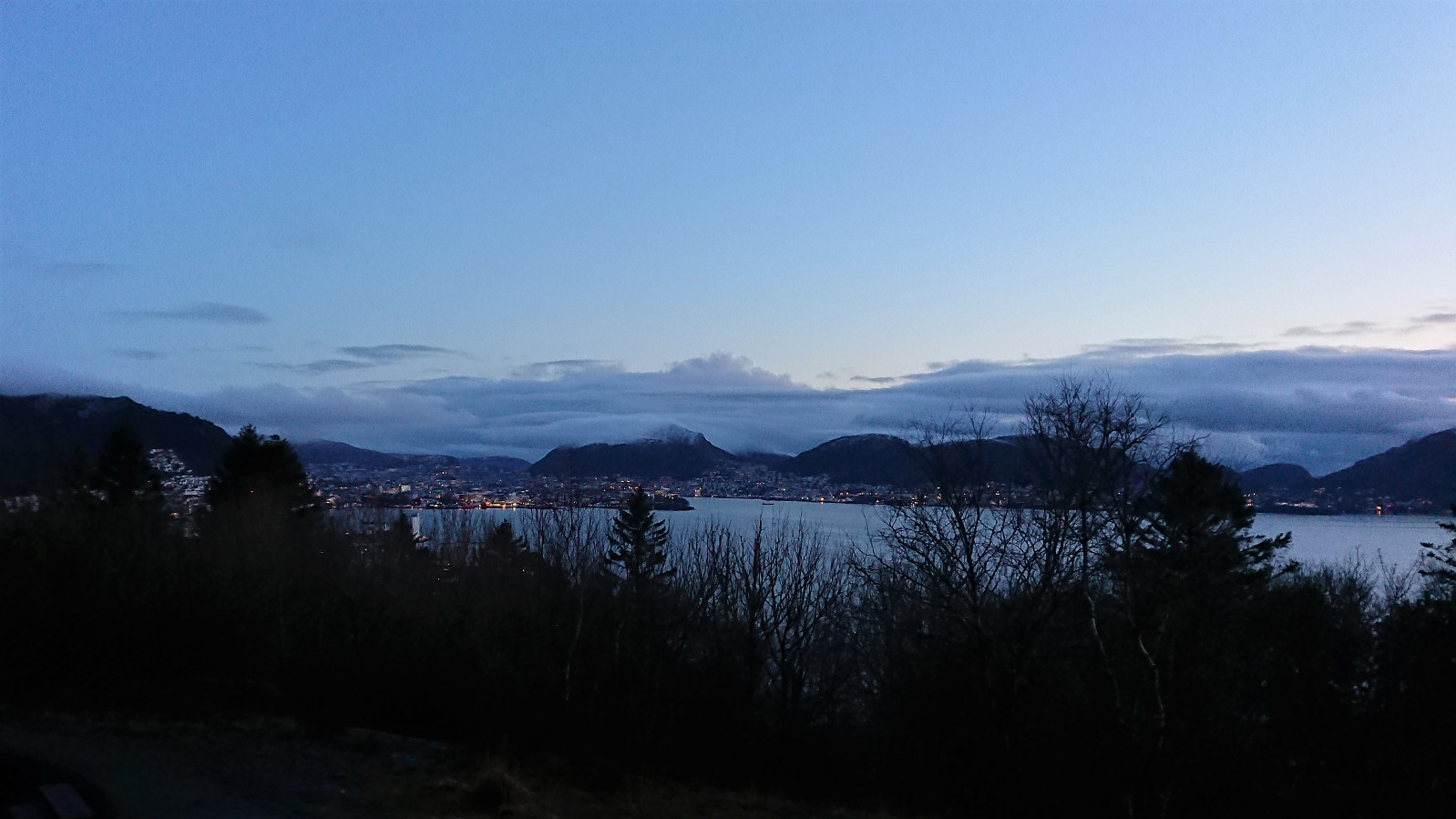
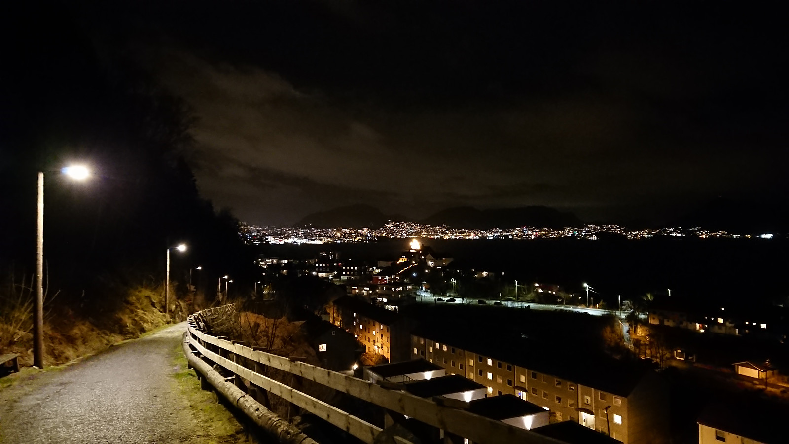 Short local evening hike across Hellen festning.
