Archive - Date
Archive - Activity
-
Bike trip (110)
- Bike trip - mixed (25)
- Bike trip - road (85)
-
Drive (9)
- Car drive (9)
-
Other trip (3)
- Kayaking (3)
-
Ski trip (116)
- Backcountry skiing (69)
- Cross-country skiing (47)
- Trip by foot (1884)
Collected lists
-
Utvalgte topper og turmål i Bergen
(348/349)
 99%
99% -
Alle topper i Bergen
(391/398)
98%
-
Voss ≥ 100m pf.
(96/98)
97%
-
Opptur Hordaland
(144/159)
90%
-
Stasjoner på Bergensbanen
(33/40)
82%
-
Ulvik ≥ 100m pf.
(28/38)
73%
-
Hordaland ≥ 100m pf.
(622/863)
72%
-
Mjølfjell PF > 100m
(21/31)
67%
-
Jondal ≥ 100m pf.
(15/23)
65%
-
Dagsturhyttene i Vestland
(36/61)
59%
-
Sunnhordland PF >= 100m
(105/186)
56%
-
Hordaland: Hardanger PF>=100m
(194/359)
54%
-
DNT-hytter i Hordaland
(23/45)
51%
-
Kvinnherad ≥ 100m pf.
(40/79)
50%
-
Eidfjord ≥ 100m pf.
(13/42)
30%
-
Sogndal ≥ 100m pf.
(23/81)
28%
-
Gulen ≥ 100m pf.
(15/54)
27%
-
Vik i Sogn ≥ 100m pf.
(10/46)
21%
-
Sogn - Sør for Sognefjorden PF>=100m
(31/159)
19%
-
DNT-hytter i Sogn og Fjordane
(8/47)
17%

Across Hellen festning
- Date:
- 31.12.2025
- Characteristic:
- Hike
- Duration:
- 0:41h
- Distance:
- 3.2km
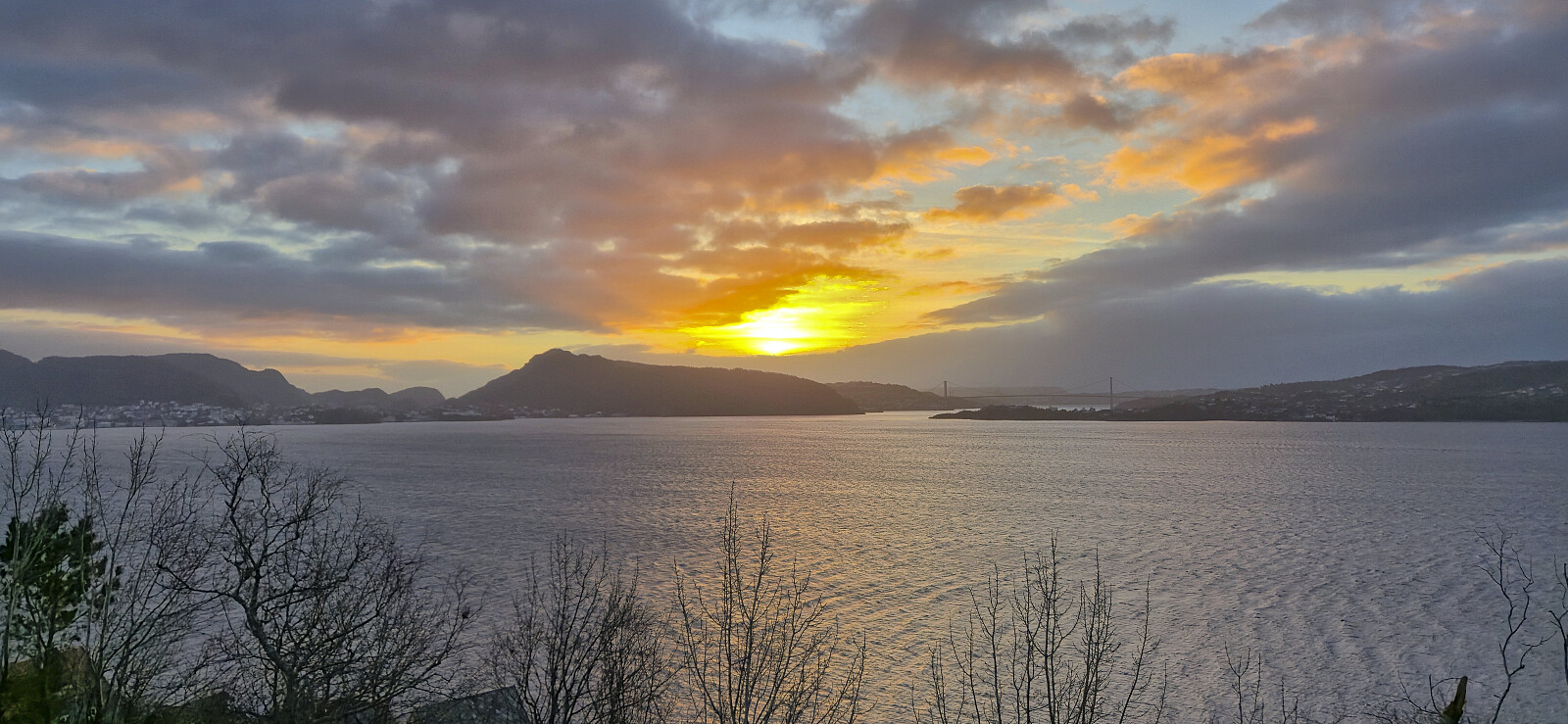
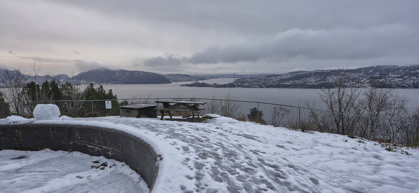 The last hike of 2025 across a slippery Hellen festning in between rain showers.
Nygårdshøyden
- Date:
- 30.12.2025
- Characteristic:
- Walk
- Duration:
- 0:30h
- Distance:
- 2.4km
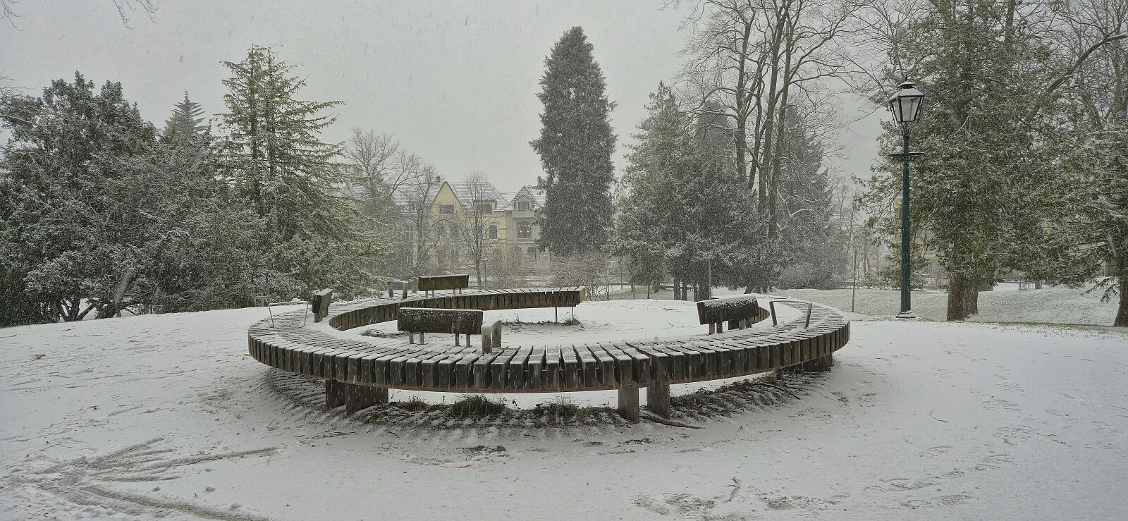 A short walk to a location I have passed by many times but never bothered to register a visit until it was added as its own PB-element one day earlier.
Ådnagavlen from Eide to Seim
- Date:
- 29.12.2025
- Characteristic:
- Hillwalk
- Duration:
- 3:49h
- Distance:
- 12.7km
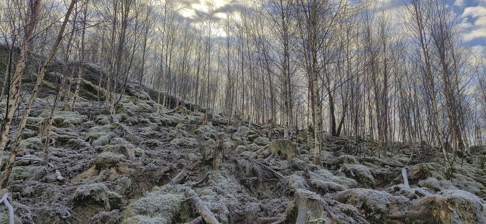
 With a vertical separation of 99.5, Ådnagavlen is just shy of the 100 meters required to be part of the Hordaland ≥ 100m pf. list , and (partly) as a result it only had one previous ascent registered on PB. When preparing for my hike, I initially struggled to find any details regarding recommended trails from Eide. This however changed when learning that the locals refer to the peak as Aodnagavlen, with the most useful resource being a route description (in Norwegian) from Granvin Turlag .
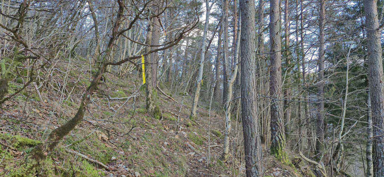
After taking the train to Voss and the bus to Granvin terminal, I continued southwest along the main road to Jaunsen Gjestgjevarstad where I came across the first sign for Aodnagavlen. From there on it was relatively straightforward to follow the red trail markers. As recommended in the route description I however left the marked trail for a short detour along the impressive world war II trenches >>>
With a vertical separation of 99.5, Ådnagavlen is just shy of the 100 meters required to be part of the Hordaland ≥ 100m pf. list , and (partly) as a result it only had one previous ascent registered on PB. When preparing for my hike, I initially struggled to find any details regarding recommended trails from Eide. This however changed when learning that the locals refer to the peak as Aodnagavlen, with the most useful resource being a route description (in Norwegian) from Granvin Turlag .
After taking the train to Voss and the bus to Granvin terminal, I continued southwest along the main road to Jaunsen Gjestgjevarstad where I came across the first sign for Aodnagavlen. From there on it was relatively straightforward to follow the red trail markers. As recommended in the route description I however left the marked trail for a short detour along the impressive world war II trenches >>>
Ørneberget and Rognåsen
- Date:
- 28.12.2025
- Characteristic:
- Hillwalk
- Duration:
- 1:28h
- Distance:
- 6.1km
 Short local Sunday hike.
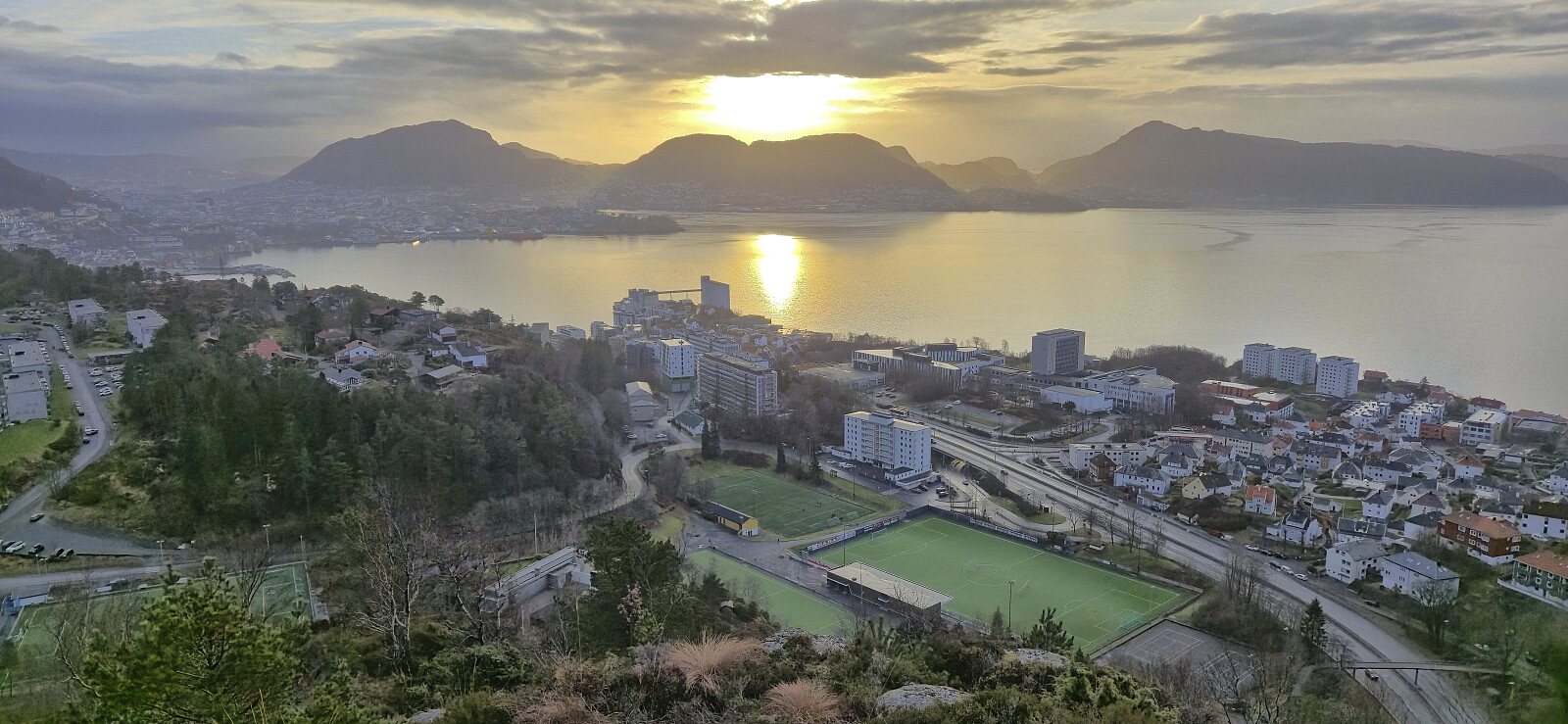
Across Hellen festning
- Date:
- 27.12.2025
- Characteristic:
- Hike
- Duration:
- 0:37h
- Distance:
- 3.1km
 Short local hike after returning from Sogndal to Bergen by boat.
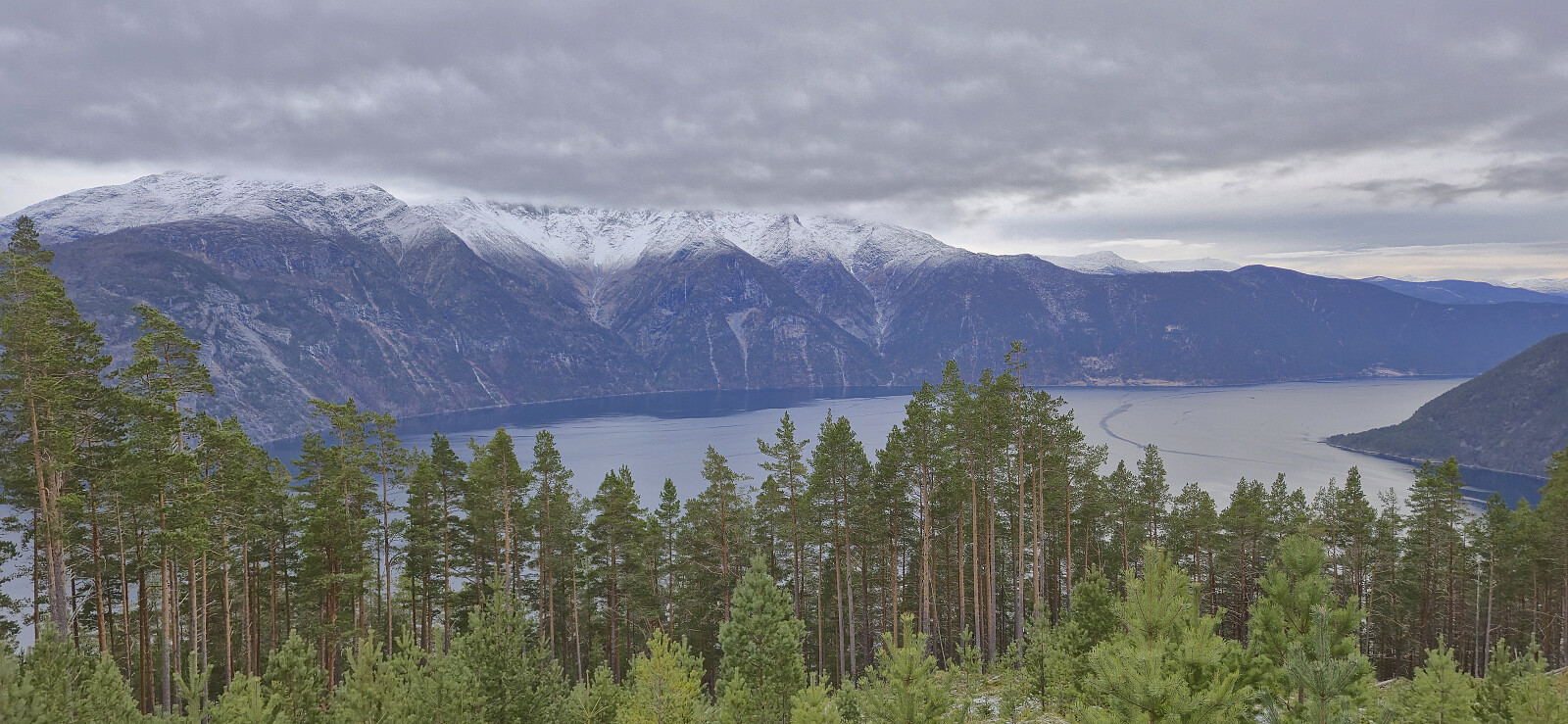
Røvhaugane and Skjeggen
- Date:
- 26.12.2025
- Characteristic:
- Hillwalk
- Duration:
- 3:56h
- Distance:
- 13.0km
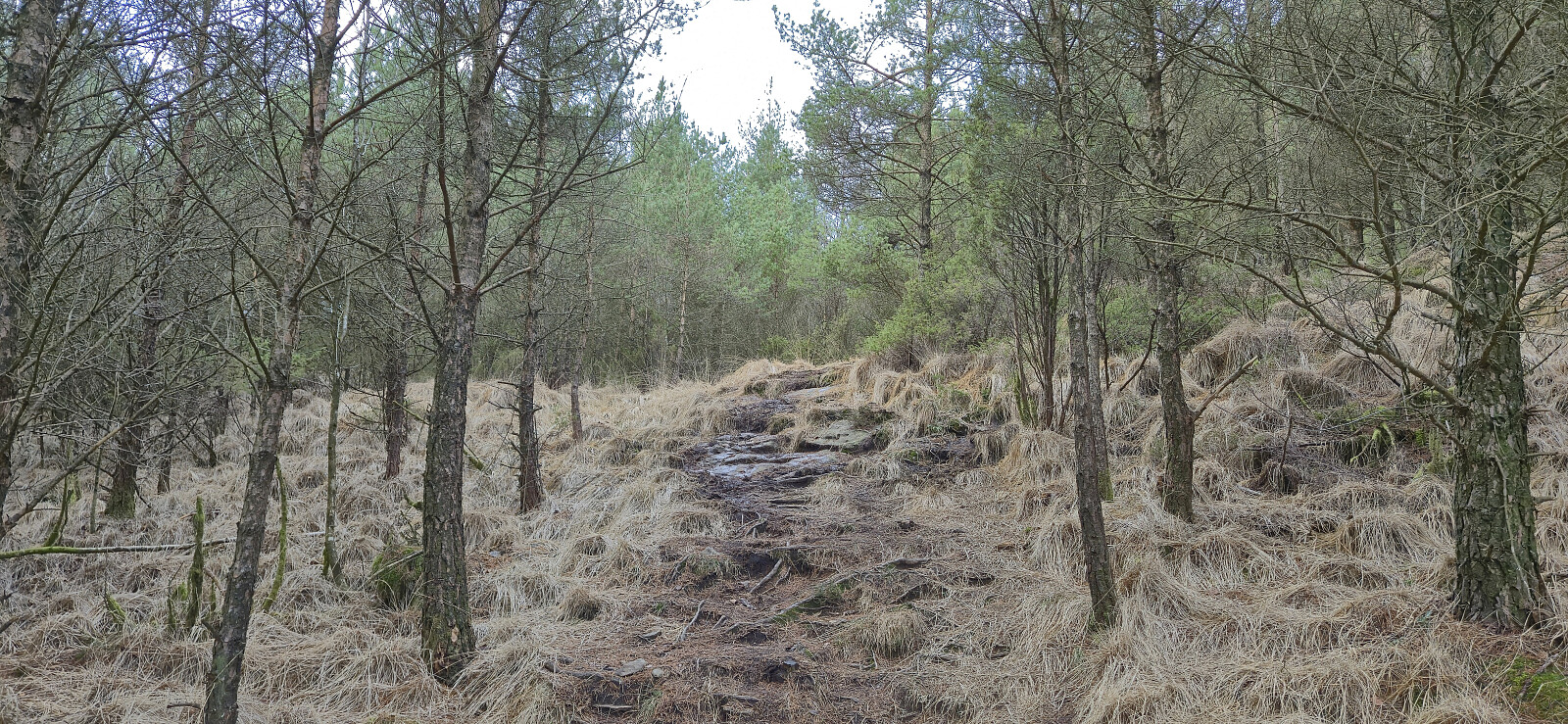
 After a joint hike via Røvhaugane to Åberge, I continued on my own along the gravel road to Hølsete before following the marked trail via Ljøtaholet to the excellent viewpoint at Skjeggen and finally returning to Sogndalsfjøra via Hølsete.
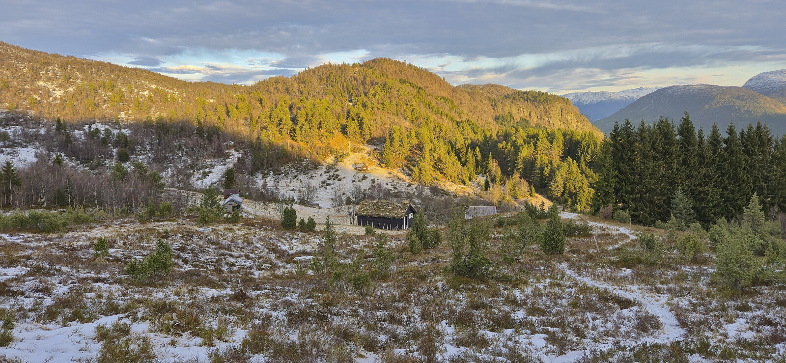
Kaupangsholtane
- Date:
- 25.12.2025
- Characteristic:
- Hillwalk
- Duration:
- 1:40h
- Distance:
- 4.2km
 Christmas Day hike to Kaupangsholtane with my sister and most of her family.
Røvhaugene and Kongaberget
- Date:
- 24.12.2025
- Characteristic:
- Hillwalk
- Duration:
- 1:31h
- Distance:
- 4.8km
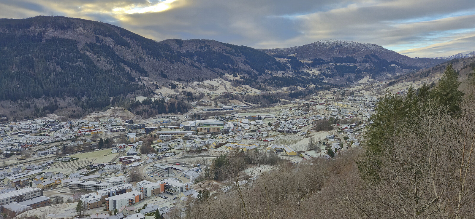 A short hike after arriving by boat from Bergen the previous evening to celebrate Christmas with my sister and her family in Sogndal.
Matskårhaugane from Røynesnes
- Date:
- 22.12.2025
- Characteristic:
- Hillwalk
- Duration:
- 1:18h
- Distance:
- 4.7km
 The first day of my extended Christmas holiday was spent travelling to Etne to ascend Matskårhaugane . Getting there from Bergen took around five hours by bus (and ferry), including an hour-long stop in Aksdal ( which I used to visit Alvdalsnuten ). Upon finally arriving in Etne, I got off at the bus stop Madsgård (which I assume is the same as Matskår on the map).
While it most likely would have been fine to follow the tractor roads directly west to the summit, similar to what Petter and Kjell had recently done , I did not take the chance of potentially being stopped by a local farmer. Instead I followed a route similar to PinusSylvestris and ascended from Røynesnes to the north and hoped that I would not come across any of the large cattle shown in his trip report .
This largely off-trail ascent was relatively straightforward, although the half-frozen ground with lots of traces of the above-mentioned cattle >>>
The first day of my extended Christmas holiday was spent travelling to Etne to ascend Matskårhaugane . Getting there from Bergen took around five hours by bus (and ferry), including an hour-long stop in Aksdal ( which I used to visit Alvdalsnuten ). Upon finally arriving in Etne, I got off at the bus stop Madsgård (which I assume is the same as Matskår on the map).
While it most likely would have been fine to follow the tractor roads directly west to the summit, similar to what Petter and Kjell had recently done , I did not take the chance of potentially being stopped by a local farmer. Instead I followed a route similar to PinusSylvestris and ascended from Røynesnes to the north and hoped that I would not come across any of the large cattle shown in his trip report .
This largely off-trail ascent was relatively straightforward, although the half-frozen ground with lots of traces of the above-mentioned cattle >>>
Alvanuten
- Date:
- 22.12.2025
- Characteristic:
- Hillwalk
- Duration:
- 0:52h
- Distance:
- 3.6km
 On my way to ascend Matskårhaugane I had an hour at Aksdal between arriving with the express bus from Bergen and continuing with the local bus to Etne. Instead of waiting at the bus stop, or hanging out at Aksdal Senter, I decided on a quick visit of Alvanuten and its dagsturhytte . There was an easy-to-follow trail starting from the end of Alvanutvegen that took me all the way to the cabin with the summit right next to it. After enjoying the excellent views, I returned the same way and made it to the bus terminal with around ten minutes to spare.
