Archive - Date
Archive - Activity
-
Bike trip (111)
- Bike trip - mixed (25)
- Bike trip - road (86)
-
Drive (9)
- Car drive (9)
-
Other trip (3)
- Kayaking (3)
-
Ski trip (116)
- Backcountry skiing (69)
- Cross-country skiing (47)
- Trip by foot (1897)
Collected lists
-
Utvalgte topper og turmål i Bergen
(349/351)
 99%
99% -
Alle topper i Bergen
(393/400)
98%
-
Voss ≥ 100m pf.
(96/98)
97%
-
Opptur Hordaland
(144/159)
90%
-
Stasjoner på Bergensbanen
(33/40)
82%
-
Ulvik ≥ 100m pf.
(30/38)
78%
-
Hordaland ≥ 100m pf.
(624/863)
72%
-
Mjølfjell PF > 100m
(21/31)
67%
-
Jondal ≥ 100m pf.
(15/23)
65%
-
Dagsturhyttene i Vestland
(36/61)
59%
-
Sunnhordland PF >= 100m
(105/186)
56%
-
Hordaland: Hardanger PF>=100m
(196/359)
54%
-
DNT-hytter i Hordaland
(23/45)
51%
-
Kvinnherad ≥ 100m pf.
(40/79)
50%
-
Eidfjord ≥ 100m pf.
(13/42)
30%
-
Sogndal ≥ 100m pf.
(23/81)
28%
-
Gulen ≥ 100m pf.
(15/54)
27%
-
Vik i Sogn ≥ 100m pf.
(10/46)
21%
-
Sogn - Sør for Sognefjorden PF>=100m
(31/159)
19%
-
DNT-hytter i Sogn og Fjordane
(8/47)
17%

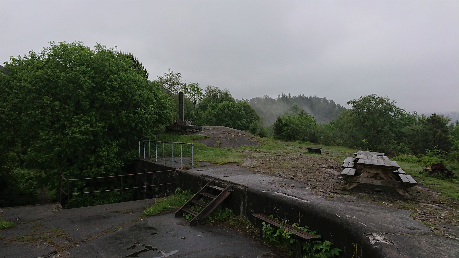
Across Hellen festning
- Date:
- 30.06.2022
- Characteristic:
- Hike
- Duration:
- 0:36h
- Distance:
- 3.2km
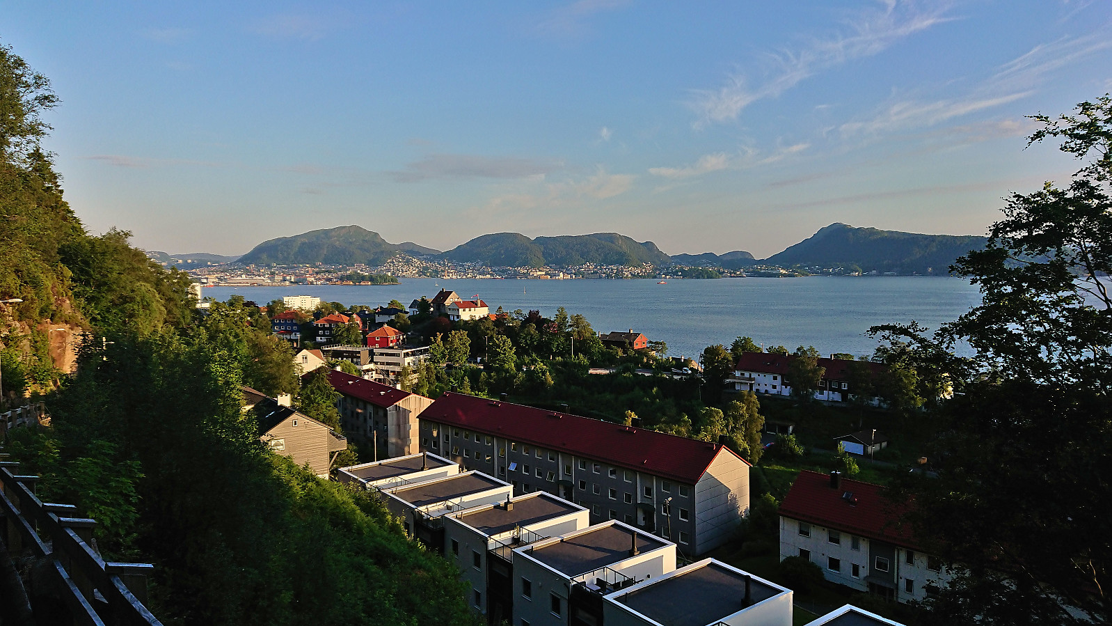 Short local evening hike.
Cycling: Smetthaugane, Småhaugene and Store Stuthaugen
- Date:
- 29.06.2022
- Characteristic:
- Bike trip - mixed
- Duration:
- 7:19h
- Distance:
- 74.4km
 Left work early to take advantage of the last part of a warm summer day for a cycling trip to Osavatnet with the goal of visiting Nordnuken , yet another minor summit on the Alle topper i Bergen list. Shortly after leaving my bike behind where the gravel-covered path ended south of the summit it however became clear that the ascent to Nordnuken did not look very inviting and was not the most compatible with shorts and t-shirt. I therefore changed my plans and instead went for a trip around Svartavatnet with short detours to the minor summits of Smetthaugane , Småhaugane and, with an additional detour via Redningshytten , Store Stuthaugen .
Each of the minor summits could easily be reached and only required short detours from the trail. The trail between Smetthaugane and Småhaugane was however quite weak and I ended up losing it when crossing the stream coming down from Glamregjelet >>>
Left work early to take advantage of the last part of a warm summer day for a cycling trip to Osavatnet with the goal of visiting Nordnuken , yet another minor summit on the Alle topper i Bergen list. Shortly after leaving my bike behind where the gravel-covered path ended south of the summit it however became clear that the ascent to Nordnuken did not look very inviting and was not the most compatible with shorts and t-shirt. I therefore changed my plans and instead went for a trip around Svartavatnet with short detours to the minor summits of Smetthaugane , Småhaugane and, with an additional detour via Redningshytten , Store Stuthaugen .
Each of the minor summits could easily be reached and only required short detours from the trail. The trail between Smetthaugane and Småhaugane was however quite weak and I ended up losing it when crossing the stream coming down from Glamregjelet >>>
Ørneberget and Rognåsen
- Date:
- 26.06.2022
- Characteristic:
- Hillwalk
- Duration:
- 1:18h
- Distance:
- 5.6km
 Short local hike on a very warm Sunday.
Cycling: Landås and Fjellveien
- Date:
- 25.06.2022
- Characteristic:
- Bike trip - road
- Duration:
- 2:17h
- Distance:
- 28.7km
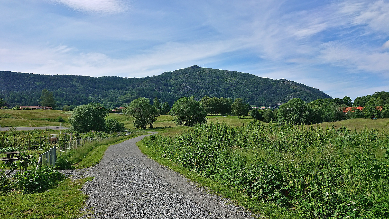 Bike trip exploring different parts of Landås before returning via Fjellveien.
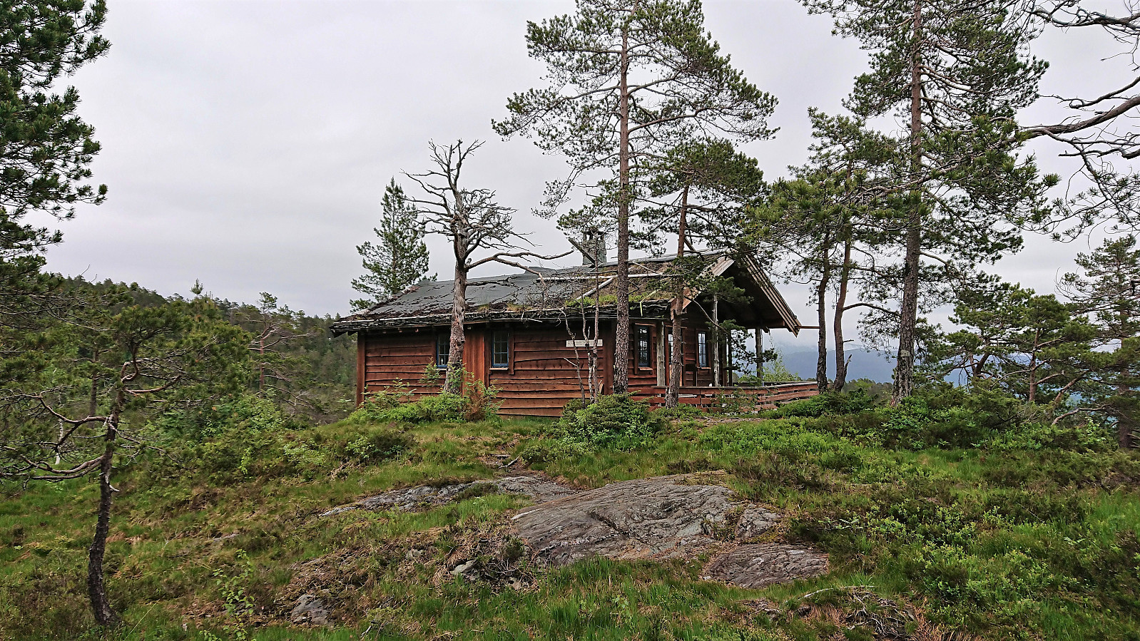
Sveindalsnuten, Blåkoll, Flatafjellet and Kiellandbu
- Date:
- 24.06.2022
- Characteristic:
- Hillwalk
- Duration:
- 6:55h
- Distance:
- 20.0km
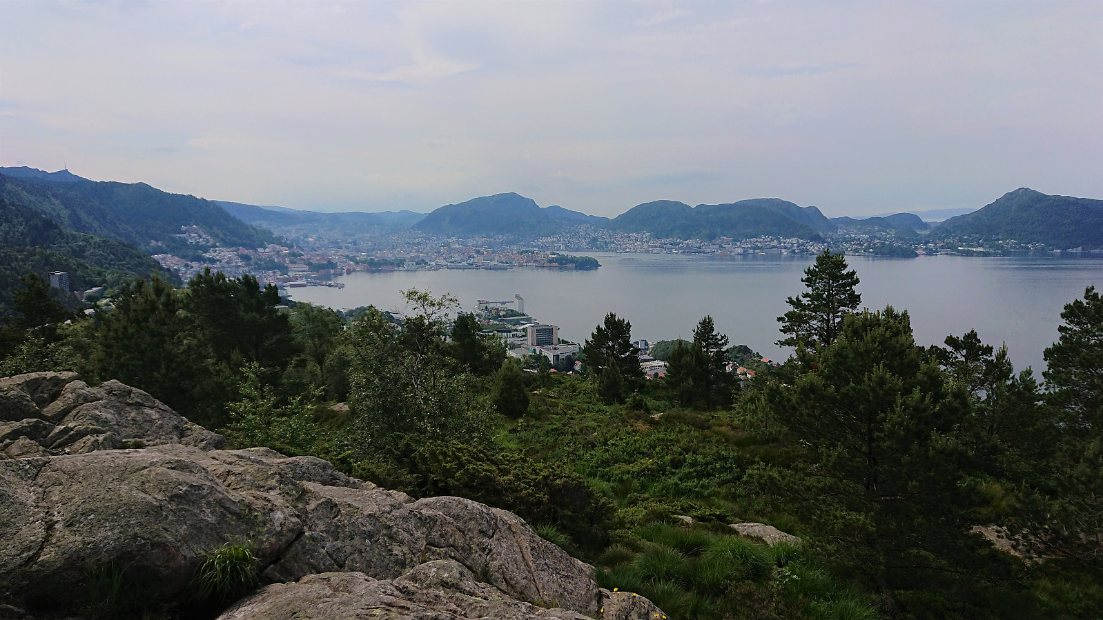
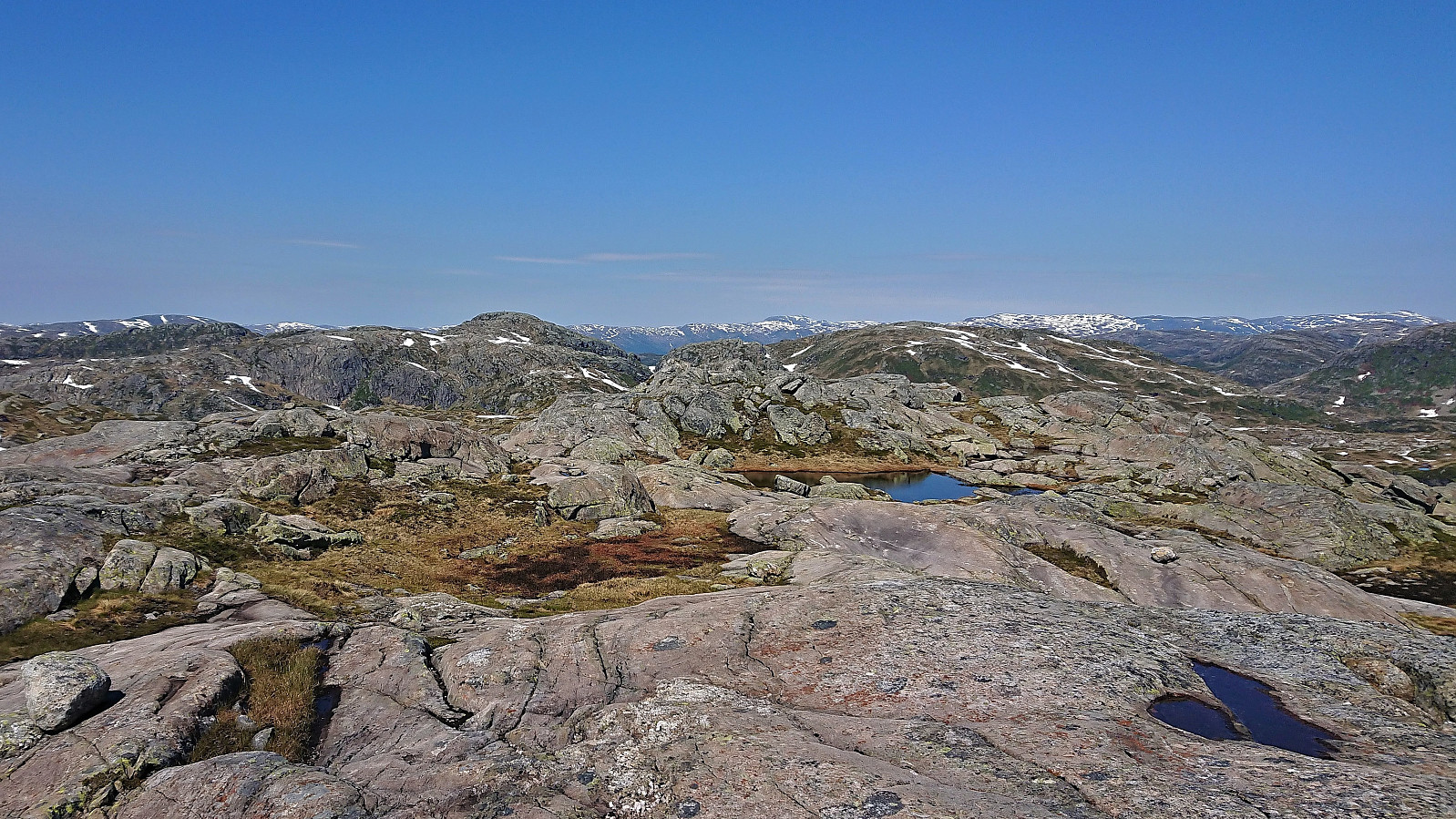 After spending all of the previous Saturday at work, it was in easy choice to take the following Friday off when the weather forecast for Bergen predicted blue skies and close to 30 degrees. Three other colleagues were quickly convinced to join and we settled on ascending to Kiellandbu from Hodnaberg, with my own goal of also visiting at least a couple of new summits in the area.
We parked next to the power station at Hodnaberg and started by following the gravel road south. After a short steep incline, we left the gravel road and continued on the marked trail to Kiellandbu, enjoying the excellent views along the river. Before reaching Nedre Kvålsdalstjørni, we decided to split into two pairs, given that it was only me and one other colleague that were interested in a slightly longer hike that also >>>
After spending all of the previous Saturday at work, it was in easy choice to take the following Friday off when the weather forecast for Bergen predicted blue skies and close to 30 degrees. Three other colleagues were quickly convinced to join and we settled on ascending to Kiellandbu from Hodnaberg, with my own goal of also visiting at least a couple of new summits in the area.
We parked next to the power station at Hodnaberg and started by following the gravel road south. After a short steep incline, we left the gravel road and continued on the marked trail to Kiellandbu, enjoying the excellent views along the river. Before reaching Nedre Kvålsdalstjørni, we decided to split into two pairs, given that it was only me and one other colleague that were interested in a slightly longer hike that also >>>
Across Hellen festning
- Date:
- 20.06.2022
- Characteristic:
- Hike
- Duration:
- 0:42h
- Distance:
- 3.7km
 Short local evening hike after work.
Svadfjellet and Dukefjellet from Kringla to Haugsvær
- Date:
- 19.06.2022
- Characteristic:
- Hillwalk
- Duration:
- 6:46h
- Distance:
- 21.8km
 For my visit of Dukefjellet I decided to combine GeirL (Geir Lie) 's ascent from Kringla with petter (Petter Bjørstad) 's descent via Hopsdalen and of course also adding my own twist. I started by taking the bus to Kringla where the bus stop is located about 650 meters south of the trailhead. In order to reduce the walk along the main road (as there is no sidewalk), I started with a minor detour around Husevatnet. This also allowed me to inspect the alternative trailhead east of the lake, but as I did not see any trail or signs indicating a trailhead, I concluded that this trail had most likely not improved since Geir used it for his descent three years earlier.
After a short walk along the main road, where it was easy to stay out of the way of the traffic, I finally arrived at the marked trailhead. As expected, there was no mentioning of Dukefjellet, rather Svadfjellet was highlighted as the >>>
For my visit of Dukefjellet I decided to combine GeirL (Geir Lie) 's ascent from Kringla with petter (Petter Bjørstad) 's descent via Hopsdalen and of course also adding my own twist. I started by taking the bus to Kringla where the bus stop is located about 650 meters south of the trailhead. In order to reduce the walk along the main road (as there is no sidewalk), I started with a minor detour around Husevatnet. This also allowed me to inspect the alternative trailhead east of the lake, but as I did not see any trail or signs indicating a trailhead, I concluded that this trail had most likely not improved since Geir used it for his descent three years earlier.
After a short walk along the main road, where it was easy to stay out of the way of the traffic, I finally arrived at the marked trailhead. As expected, there was no mentioning of Dukefjellet, rather Svadfjellet was highlighted as the >>>
Raudnipa and Trollabotshaugen from Raunekleiv
- Date:
- 16.06.2022
- Characteristic:
- Hillwalk
- Duration:
- 4:17h
- Distance:
- 15.6km
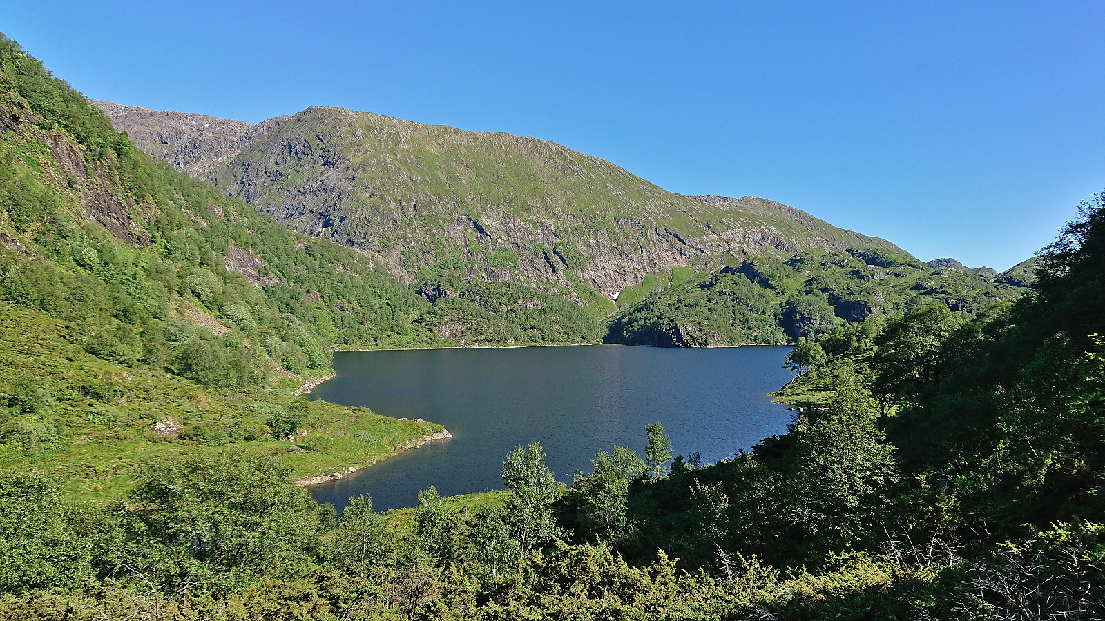
 Given that I would be spending all of Friday and Saturday indoors organizing a conference, I left work early the day before and got on a bus to Raunekleiv. The plan was to revisit Raudnipa , but this time ascending from the south via Raudvatnet and also include a visit of Trollabotshaugen , a minor summit on the Alle topper i Bergen list. After a short detour along a smaller road to avoid a tunnel, the marked trailhead was located next to Raunekleiva parkering . As a side note, check out the picture used for the PB-element for the parking lot. Note how it seems to be without an entrance. ;)
I followed the marked route to Raudvatnet - a tractor road that soon turned into a trail. The vertical meters were relatively evenly spread out, resulting in an ascent without any steep sections. At Raudvatnet, I followed the trail on the east side of the lake. This is most >>>
Given that I would be spending all of Friday and Saturday indoors organizing a conference, I left work early the day before and got on a bus to Raunekleiv. The plan was to revisit Raudnipa , but this time ascending from the south via Raudvatnet and also include a visit of Trollabotshaugen , a minor summit on the Alle topper i Bergen list. After a short detour along a smaller road to avoid a tunnel, the marked trailhead was located next to Raunekleiva parkering . As a side note, check out the picture used for the PB-element for the parking lot. Note how it seems to be without an entrance. ;)
I followed the marked route to Raudvatnet - a tractor road that soon turned into a trail. The vertical meters were relatively evenly spread out, resulting in an ascent without any steep sections. At Raudvatnet, I followed the trail on the east side of the lake. This is most >>>
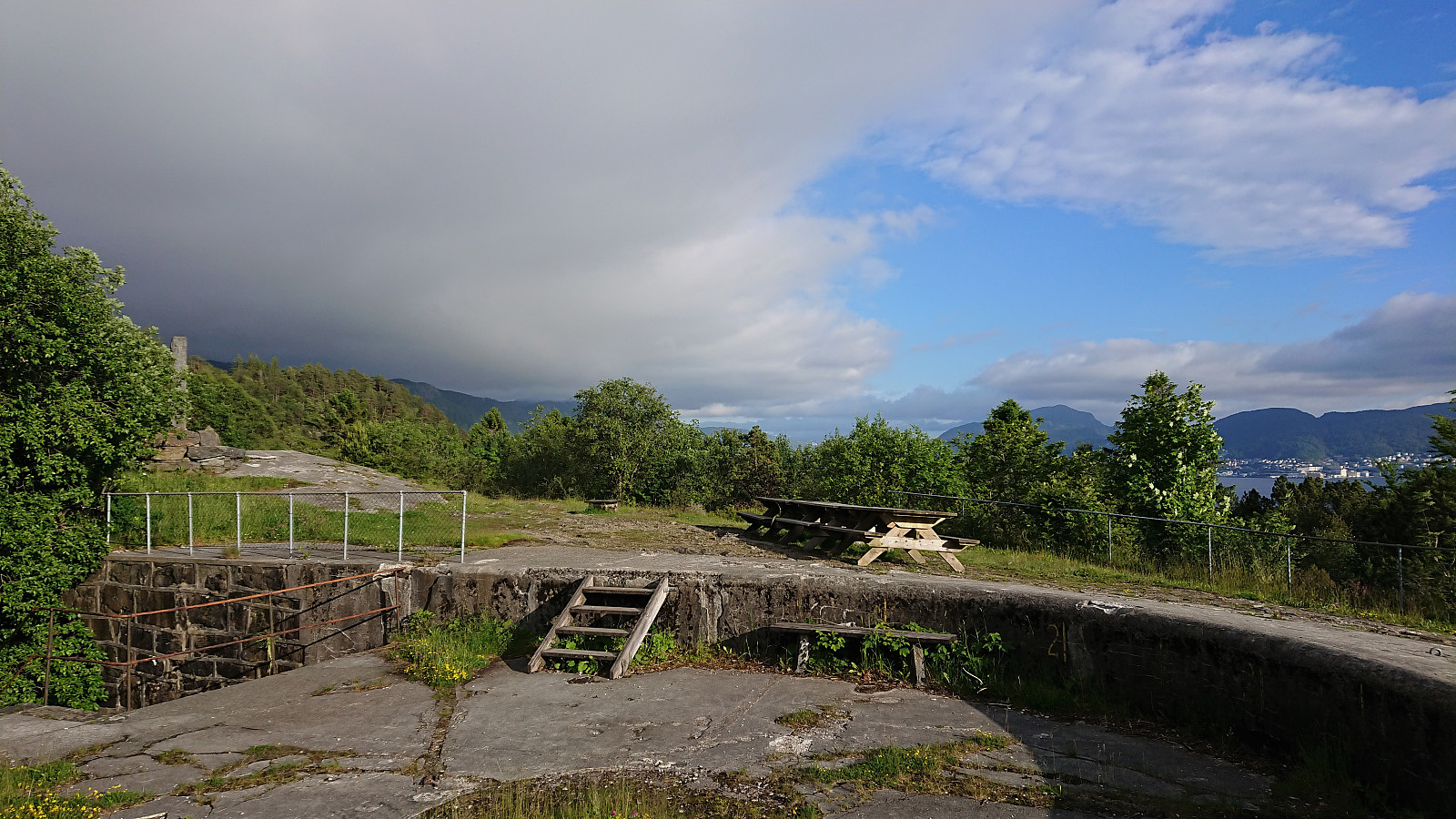
Fjellveien and Sandviksbatteriet
- Date:
- 14.06.2022
- Characteristic:
- Hike
- Duration:
- 1:43h
- Distance:
- 8.5km
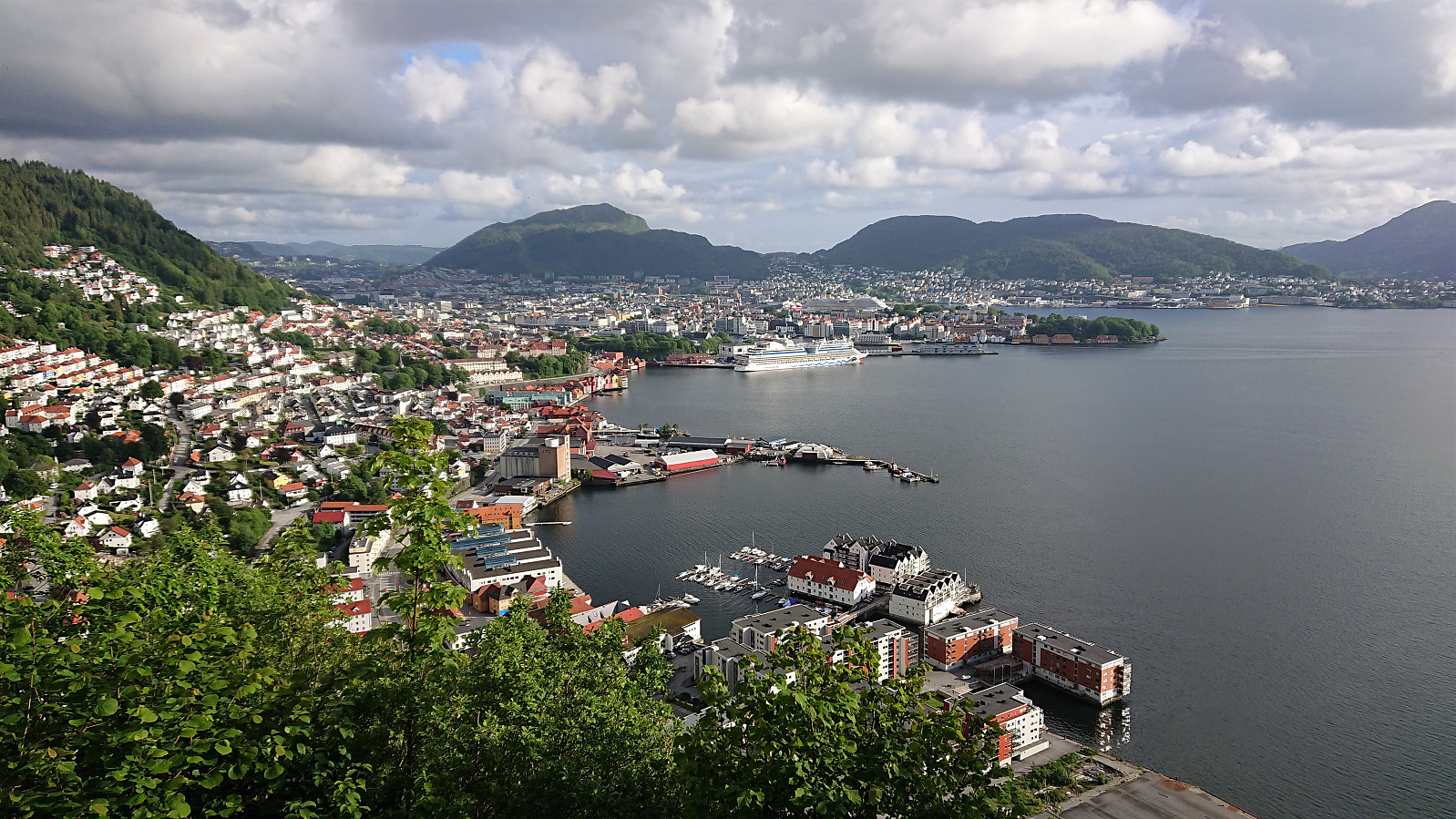 Evening hike after work.
Across Hellen festning
- Date:
- 13.06.2022
- Characteristic:
- Hike
- Duration:
- 0:42h
- Distance:
- 3.7km
 Short local evening hike between the rain showers.
