Archive - Date
Archive - Activity
-
Bike trip (111)
- Bike trip - mixed (25)
- Bike trip - road (86)
-
Drive (9)
- Car drive (9)
-
Other trip (3)
- Kayaking (3)
-
Ski trip (116)
- Backcountry skiing (69)
- Cross-country skiing (47)
- Trip by foot (1897)
Collected lists
-
Utvalgte topper og turmål i Bergen
(349/351)
 99%
99% -
Alle topper i Bergen
(393/400)
98%
-
Voss ≥ 100m pf.
(96/98)
97%
-
Opptur Hordaland
(144/159)
90%
-
Stasjoner på Bergensbanen
(33/40)
82%
-
Ulvik ≥ 100m pf.
(30/38)
78%
-
Hordaland ≥ 100m pf.
(624/863)
72%
-
Mjølfjell PF > 100m
(21/31)
67%
-
Jondal ≥ 100m pf.
(15/23)
65%
-
Dagsturhyttene i Vestland
(36/61)
59%
-
Sunnhordland PF >= 100m
(105/186)
56%
-
Hordaland: Hardanger PF>=100m
(196/359)
54%
-
DNT-hytter i Hordaland
(23/45)
51%
-
Kvinnherad ≥ 100m pf.
(40/79)
50%
-
Eidfjord ≥ 100m pf.
(13/42)
30%
-
Sogndal ≥ 100m pf.
(23/81)
28%
-
Gulen ≥ 100m pf.
(15/54)
27%
-
Vik i Sogn ≥ 100m pf.
(10/46)
21%
-
Sogn - Sør for Sognefjorden PF>=100m
(31/159)
19%
-
DNT-hytter i Sogn og Fjordane
(8/47)
17%

Steingilshøgda, Klovfjellet and Budalsfjellet from Grov
- Date:
- 15.05.2022
- Characteristic:
- Hillwalk
- Duration:
- 7:11h
- Distance:
- 24.0km
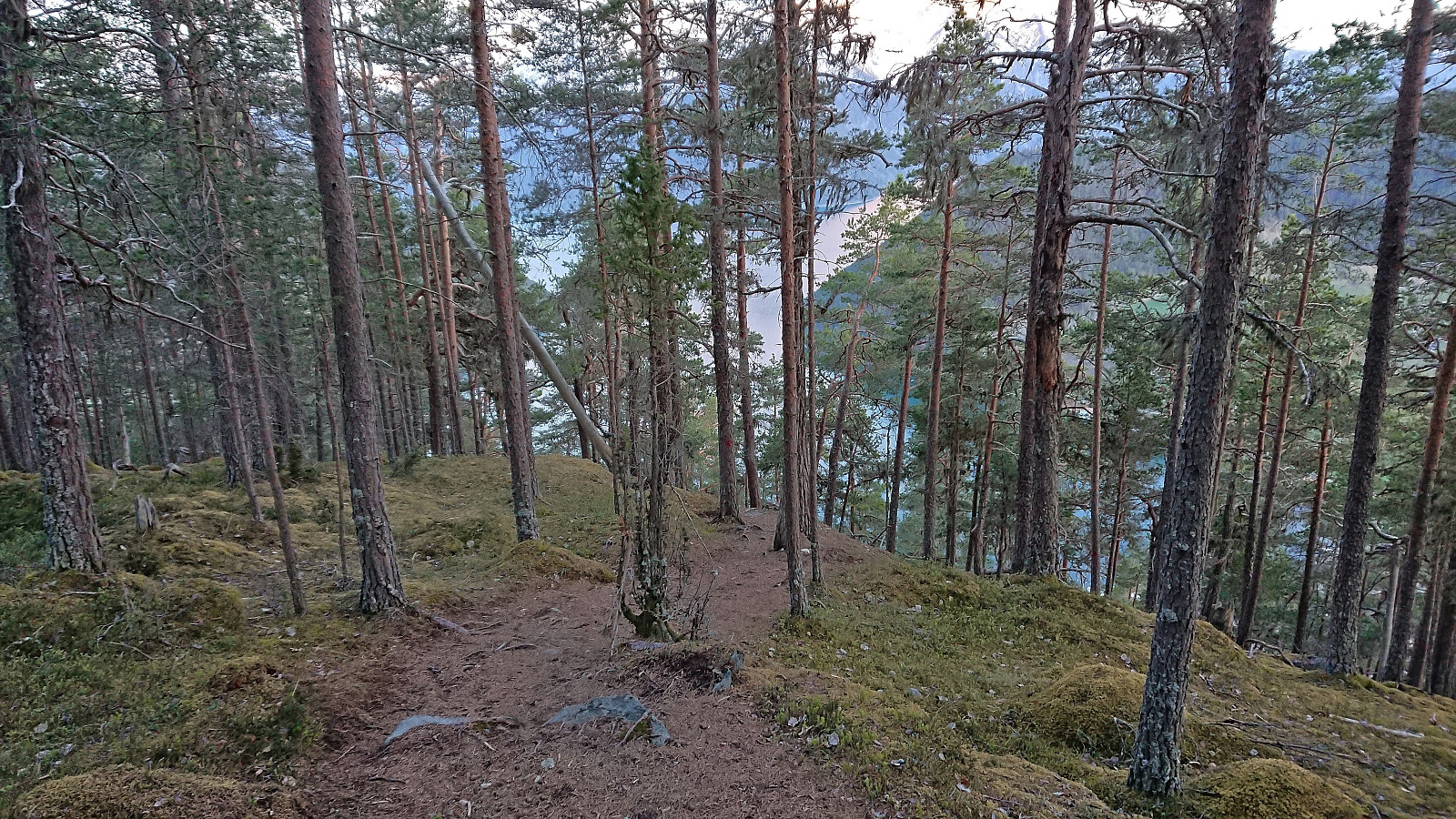
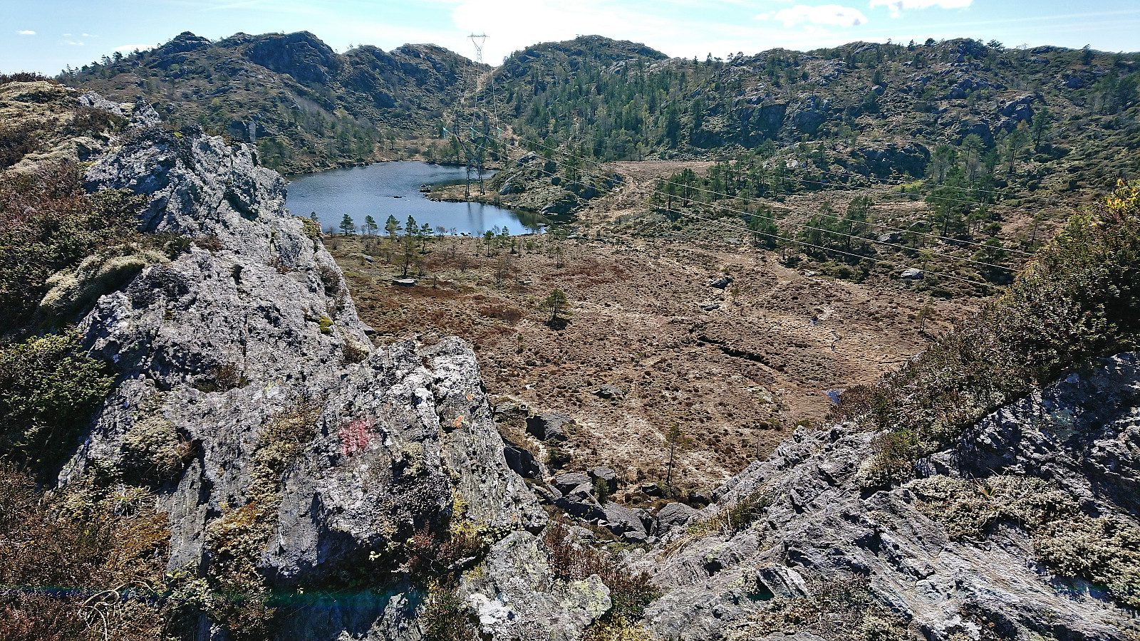
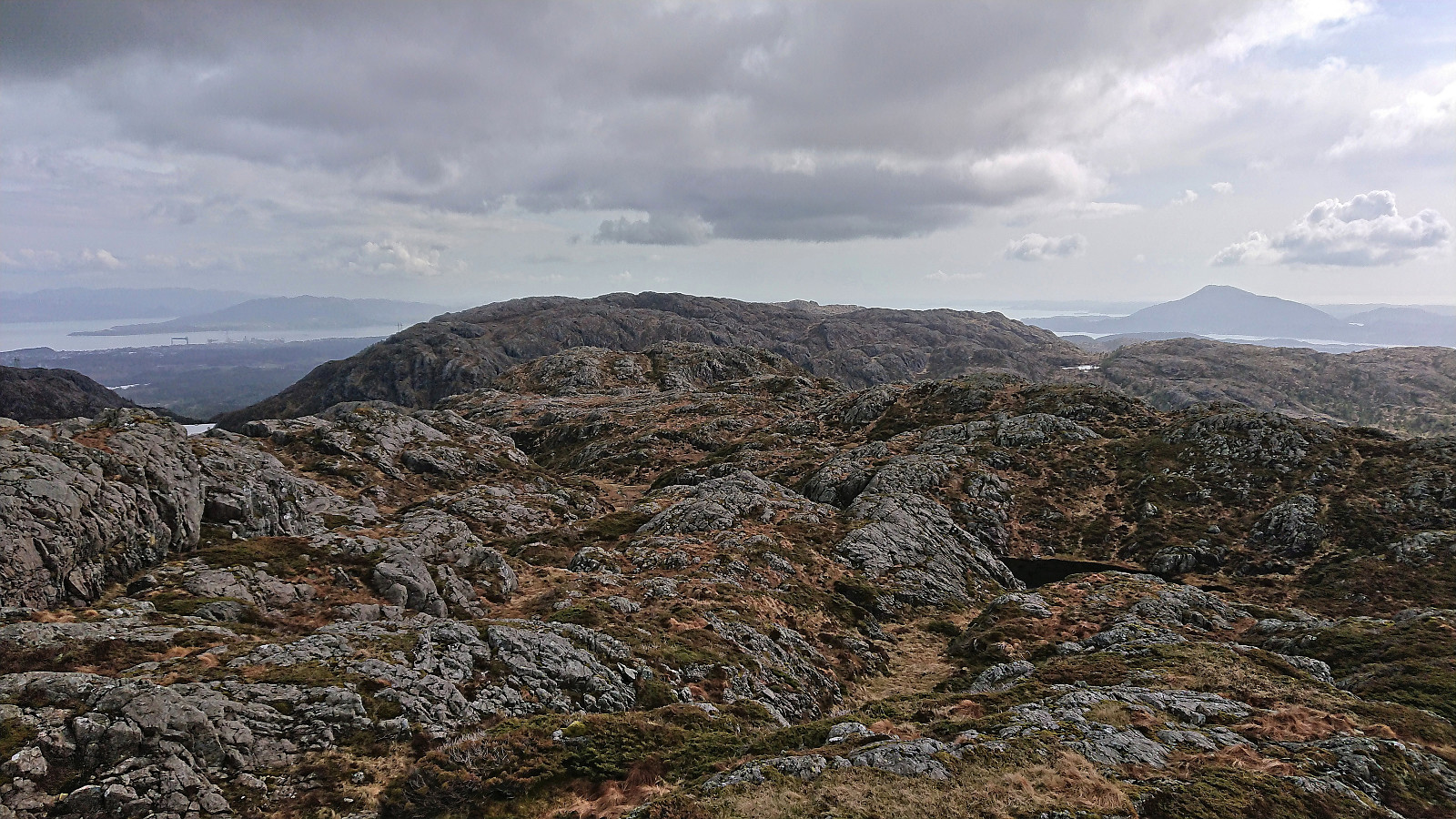 A return to Stord to complete the Stord ≥ 100m pf. list . I started by taking the express bus from Bergen to Stord and getting off at the stop called "Grov nord E39". From there I followed a marked route southwest, choosing the northern of the two options when the road forked just after the trailhead. This included first crossing a small wooden bridge and then continuing on a nice tractor road that later turned into a trail before again returning to a tractor road, and finally ending up at the paved road heading north.
After a short walk along the paved road, I took a shortcut up Omabrekko to arrive at the floodlit ski track south of Lundarstøl . I continued northwest for a quick visit of Lundarstøl, before heading west along the roads to the marked trailhead for Steingilshøgda . For the rest of the hike I would now be on trails >>>
A return to Stord to complete the Stord ≥ 100m pf. list . I started by taking the express bus from Bergen to Stord and getting off at the stop called "Grov nord E39". From there I followed a marked route southwest, choosing the northern of the two options when the road forked just after the trailhead. This included first crossing a small wooden bridge and then continuing on a nice tractor road that later turned into a trail before again returning to a tractor road, and finally ending up at the paved road heading north.
After a short walk along the paved road, I took a shortcut up Omabrekko to arrive at the floodlit ski track south of Lundarstøl . I continued northwest for a quick visit of Lundarstøl, before heading west along the roads to the marked trailhead for Steingilshøgda . For the rest of the hike I would now be on trails >>>
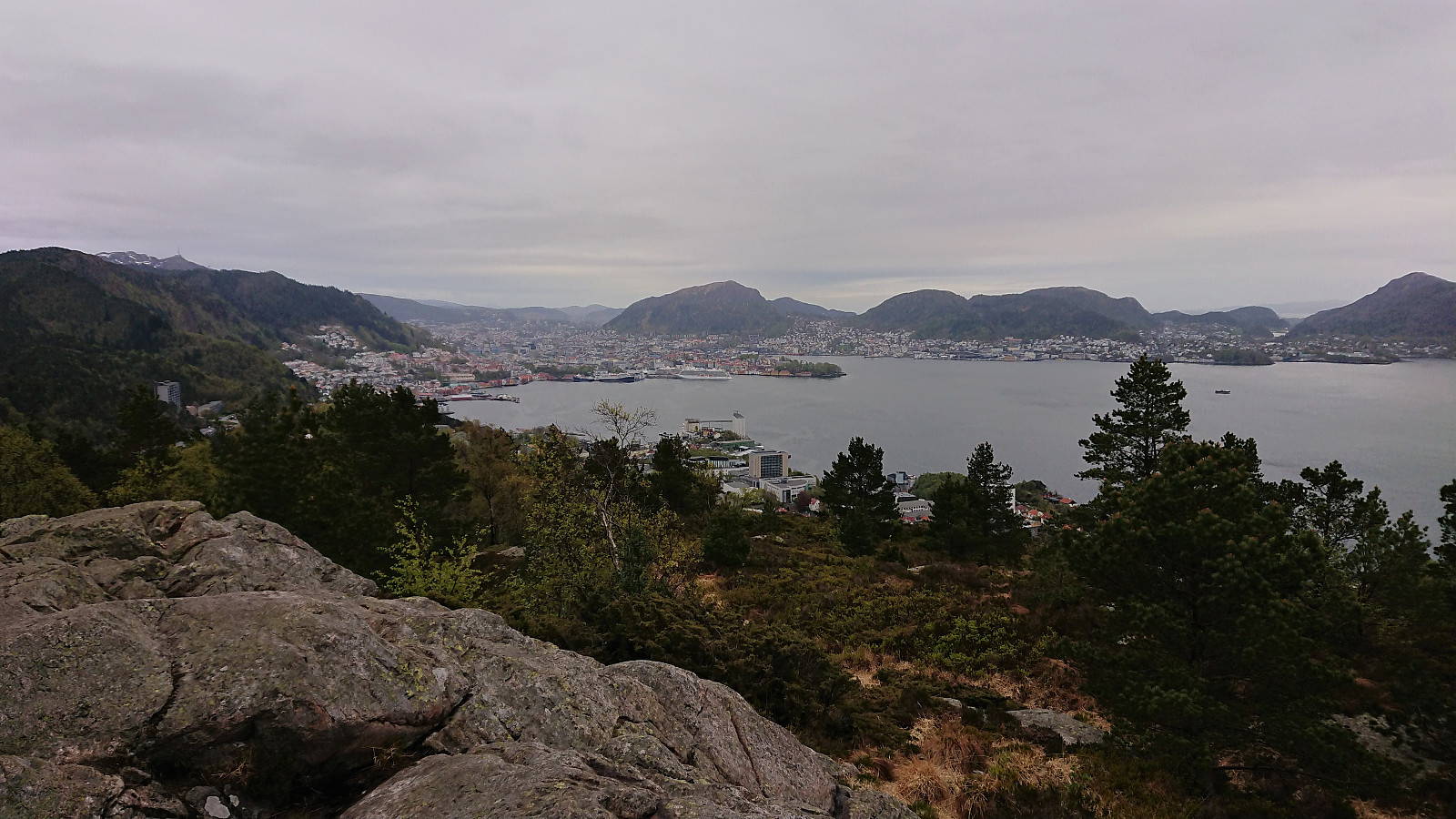
Fjellveien and Hellemyrstien
- Date:
- 14.05.2022
- Characteristic:
- Hike
- Duration:
- 1:44h
- Distance:
- 9.2km
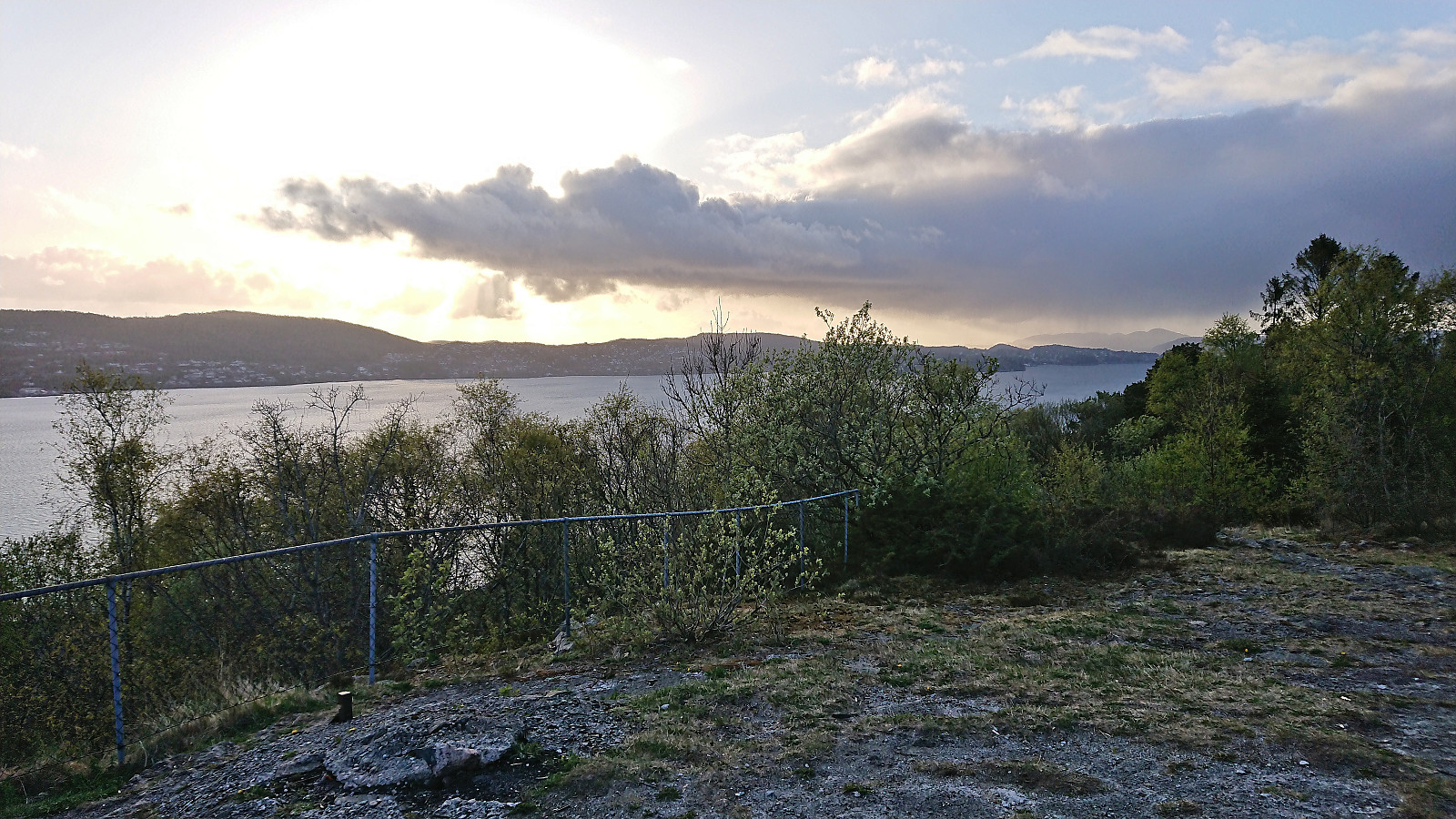
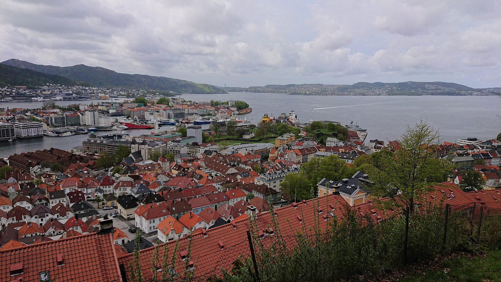 On a Saturday with unclear weather forecasts, I decided on a simple walk along Fjellveien and Hellemyrstien.
Ørneberget and Hellen festning
- Date:
- 12.05.2022
- Characteristic:
- Hillwalk
- Duration:
- 0:57h
- Distance:
- 4.2km
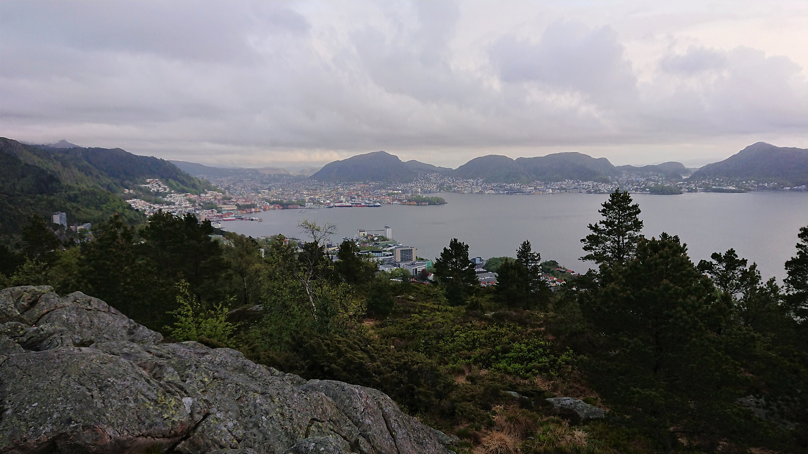 Short local evening hike in between the rain showers.
Across Hellen festning
- Date:
- 11.05.2022
- Characteristic:
- Hike
- Duration:
- 0:37h
- Distance:
- 3.1km
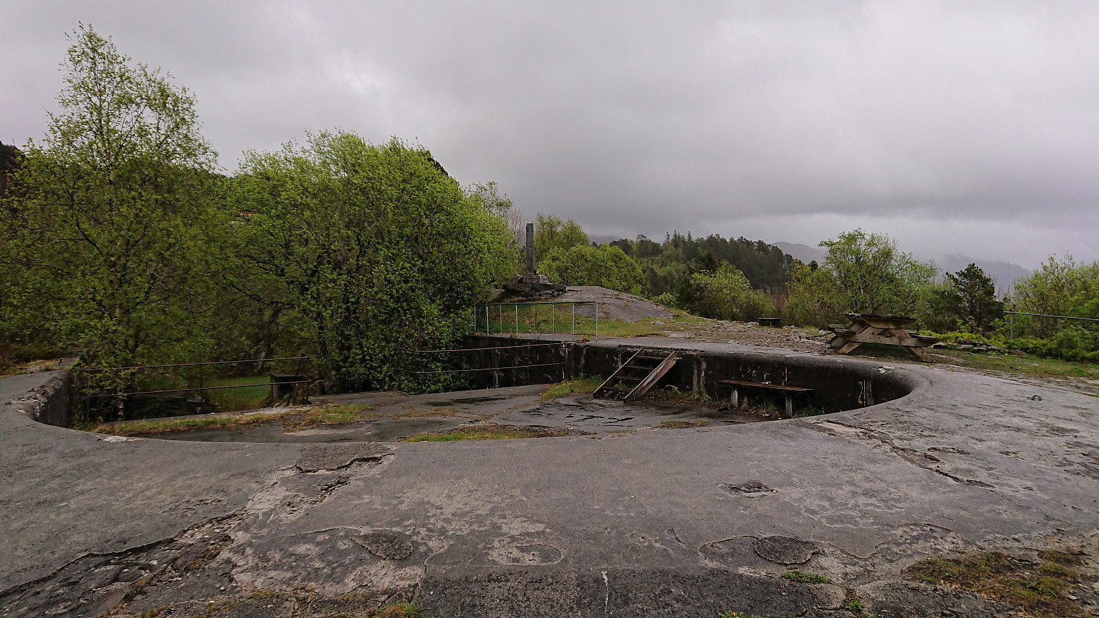 Short local evening hike in the rain.
Fjordsyn from Agnavika
- Date:
- 08.05.2022
- Characteristic:
- Hike
- Duration:
- 1:13h
- Distance:
- 2.9km
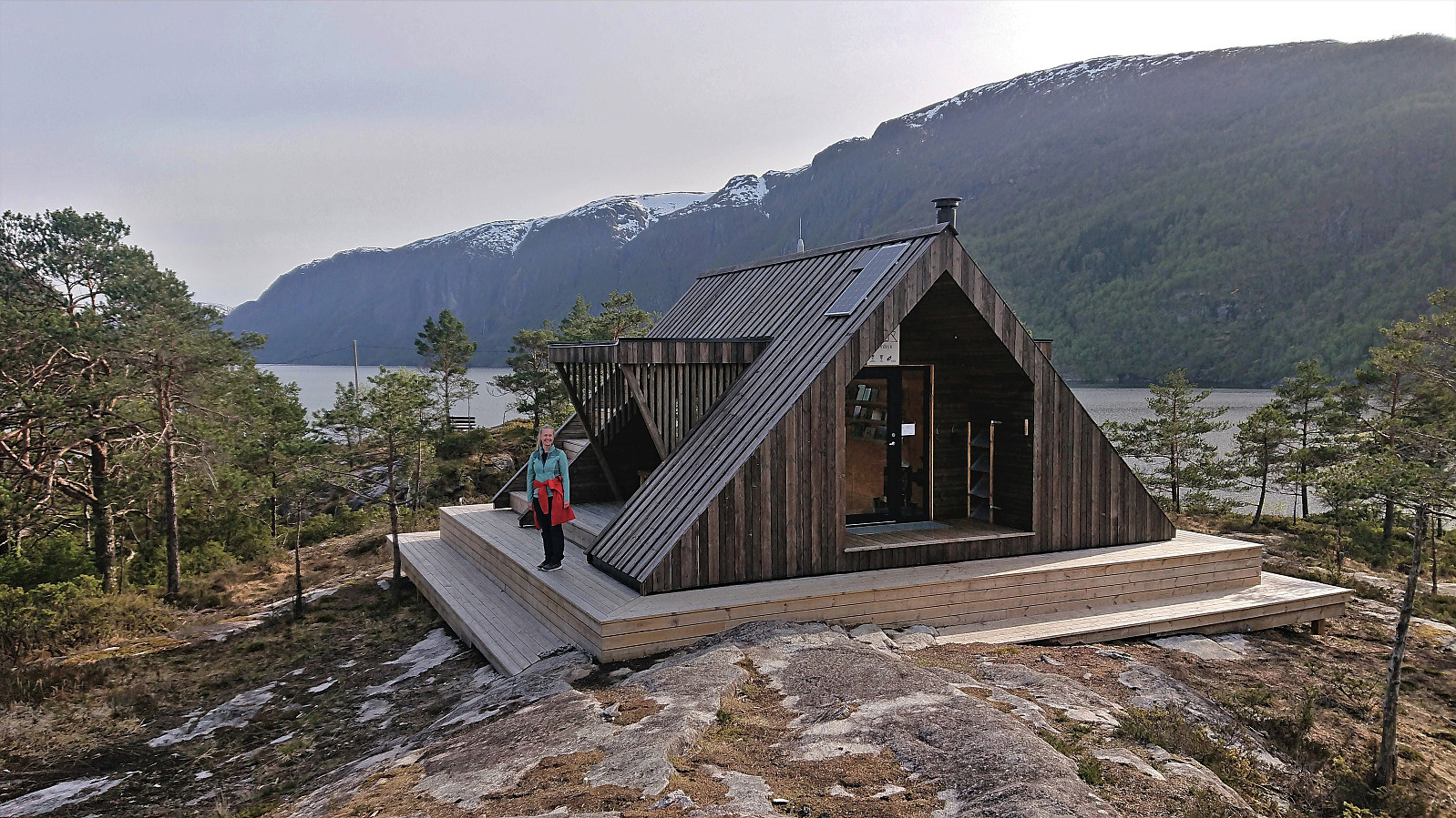 On the way home from Sogndal, Sigjoern (Sigbjørn Holm) , Marthine and I, decided to make a short stop at Stanghelle to enjoy the excellent weather for a visit of Fjordsyn . We parked at the parking lot in Agnavika . It was however also possible to park along the road even closer to the trailhead. The marked trail was more varied than expected but straightforward to follow and we quickly arrived at very nice location of Fjordsyn, with Veafjorden and Osterøy to the west and Storafjellet looming in the background to the north. From the small lighthouse just southwest of the cabin we could even spot Solaråsen in the distance. After a short break we returned along the same route and completed the drive home to Bergen.
Hauståkernakken utsiktspunkt from Vesterland
- Date:
- 07.05.2022
- Characteristic:
- Hike
- Duration:
- 2:47h
- Distance:
- 11.3km
 After celebrating my niece’s confirmation at Vesterland , I convinced Sigjoern (Sigbjørn Holm) and Marthine to join me for a hike to Hauståkernakken utsiktspunkt . Excellent views all the way from Vesterland to the locked gate above Dalåker . From here until reaching our goal, the views were much more limited due to lots of trees. But this only helped build anticipation to when the views finally opened up at the end of the tractor road and we could enjoy the stunning views across Amlabukti with a snow-covered Bleia in the background. As the sun was setting, we however did not stay long before heading back. First along the tractor road but soon instead following marked bike trail shortcuts. Overall, an excellent short hike that can be very highly recommended.
Ørneberget and Furukammen
- Date:
- 05.05.2022
- Characteristic:
- Hillwalk
- Duration:
- 0:52h
- Distance:
- 3.8km
 Short local evening hike.
Hellen festning and Furukammen
- Date:
- 04.05.2022
- Characteristic:
- Hike
- Duration:
- 0:25h
- Distance:
- 2.1km
 Short local evening hike.
Across Hellen festning
- Date:
- 02.05.2022
- Characteristic:
- Hike
- Duration:
- 0:33h
- Distance:
- 3.1km
 Short local evening hike.
Trollevassnibba and Steinsfjell from Ulveråker
- Date:
- 01.05.2022
- Characteristic:
- Hillwalk
- Duration:
- 5:17h
- Distance:
- 15.9km
 My first hike in Sveio! I started by taking the express bus from Bergen and got off at the first stop after the long undersea tunnel from Stord via Føyno. This location was named Ulveråker on the map, while the bus stop was called "Ulveraker nord". In any case, I headed north along a smaller side road not expecting much traffic, especially as there was no side walk except for at the very start. However, during my short walk to the marked trailhead I was passed by what had to be upwards of a hundred motorcycles. I later learned that they have a large gathering in this area on May 1st every year.
After passing close by the house of composer Fartein Valen , I arrived at the marked trailhead west of Valesåta and follow the, at the start, relatively steep trail east. Before turning towards Trollevassnibba , I made a short >>>
My first hike in Sveio! I started by taking the express bus from Bergen and got off at the first stop after the long undersea tunnel from Stord via Føyno. This location was named Ulveråker on the map, while the bus stop was called "Ulveraker nord". In any case, I headed north along a smaller side road not expecting much traffic, especially as there was no side walk except for at the very start. However, during my short walk to the marked trailhead I was passed by what had to be upwards of a hundred motorcycles. I later learned that they have a large gathering in this area on May 1st every year.
After passing close by the house of composer Fartein Valen , I arrived at the marked trailhead west of Valesåta and follow the, at the start, relatively steep trail east. Before turning towards Trollevassnibba , I made a short >>>
