Archive - Date
Archive - Activity
-
Bike trip (111)
- Bike trip - mixed (25)
- Bike trip - road (86)
-
Drive (9)
- Car drive (9)
-
Other trip (3)
- Kayaking (3)
-
Ski trip (116)
- Backcountry skiing (69)
- Cross-country skiing (47)
- Trip by foot (1897)
Collected lists
-
Utvalgte topper og turmål i Bergen
(349/351)
 99%
99% -
Alle topper i Bergen
(393/400)
98%
-
Voss ≥ 100m pf.
(96/98)
97%
-
Opptur Hordaland
(144/159)
90%
-
Stasjoner på Bergensbanen
(33/40)
82%
-
Ulvik ≥ 100m pf.
(30/38)
78%
-
Hordaland ≥ 100m pf.
(624/863)
72%
-
Mjølfjell PF > 100m
(21/31)
67%
-
Jondal ≥ 100m pf.
(15/23)
65%
-
Dagsturhyttene i Vestland
(36/61)
59%
-
Sunnhordland PF >= 100m
(105/186)
56%
-
Hordaland: Hardanger PF>=100m
(196/359)
54%
-
DNT-hytter i Hordaland
(23/45)
51%
-
Kvinnherad ≥ 100m pf.
(40/79)
50%
-
Eidfjord ≥ 100m pf.
(13/42)
30%
-
Sogndal ≥ 100m pf.
(23/81)
28%
-
Gulen ≥ 100m pf.
(15/54)
27%
-
Vik i Sogn ≥ 100m pf.
(10/46)
21%
-
Sogn - Sør for Sognefjorden PF>=100m
(31/159)
19%
-
DNT-hytter i Sogn og Fjordane
(8/47)
17%

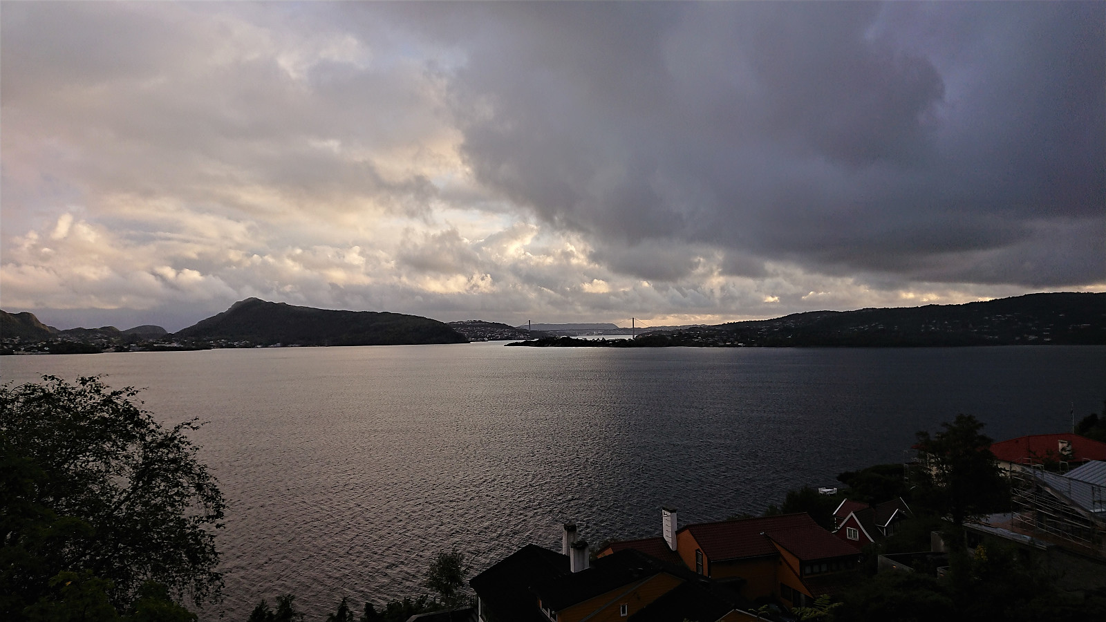
Sandviksbatteriet
- Date:
- 12.09.2020
- Characteristic:
- Hike
- Duration:
- 2:08h
- Distance:
- 9.2km
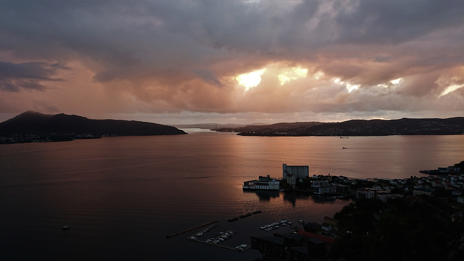
 Windy local evening hike where I managed to avoid most of the rain.
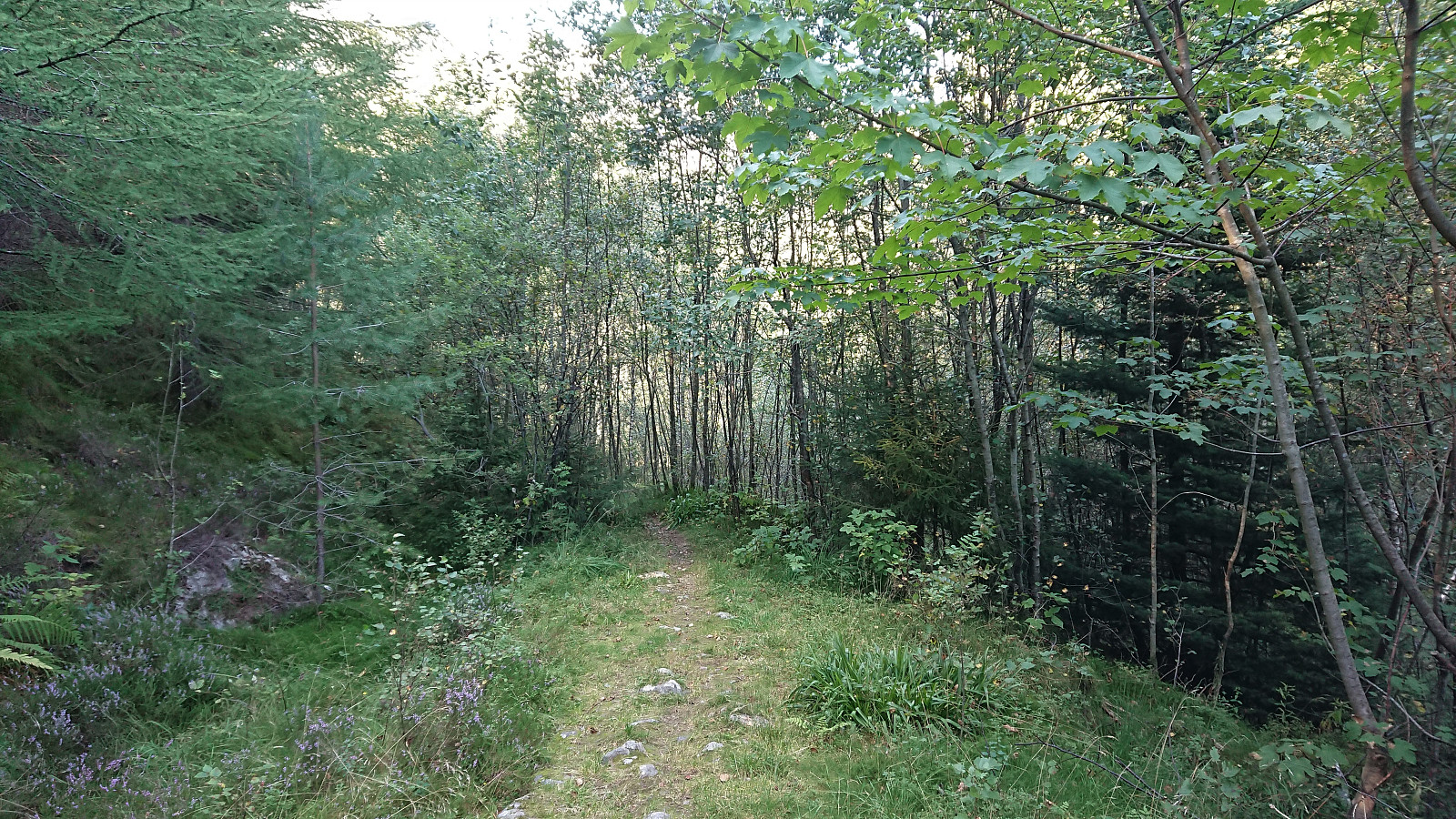
Hellen festning and Furukammen
- Date:
- 11.09.2020
- Characteristic:
- Hike
- Duration:
- 1:00h
- Distance:
- 4.7km
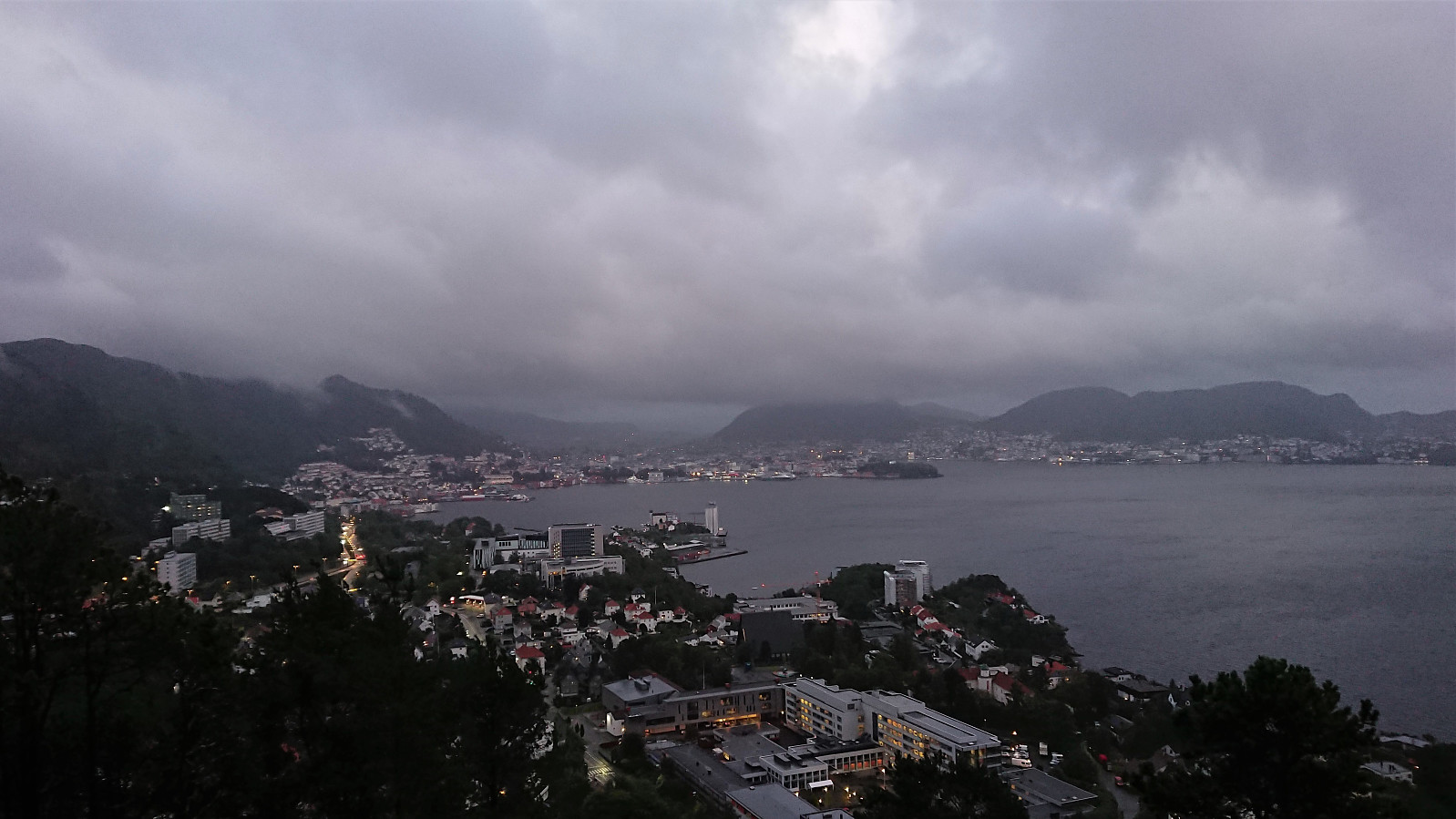 Late evening hike when the rain finally stopped.
Note: For some reason the GPS stopped recording when I reached Helleveien.
Late evening hike when the rain finally stopped.
Note: For some reason the GPS stopped recording when I reached Helleveien.
Fagerdalsfjellet
- Date:
- 10.09.2020
- Characteristic:
- Hillwalk
- Duration:
- 1:04h
- Distance:
- 5.5km
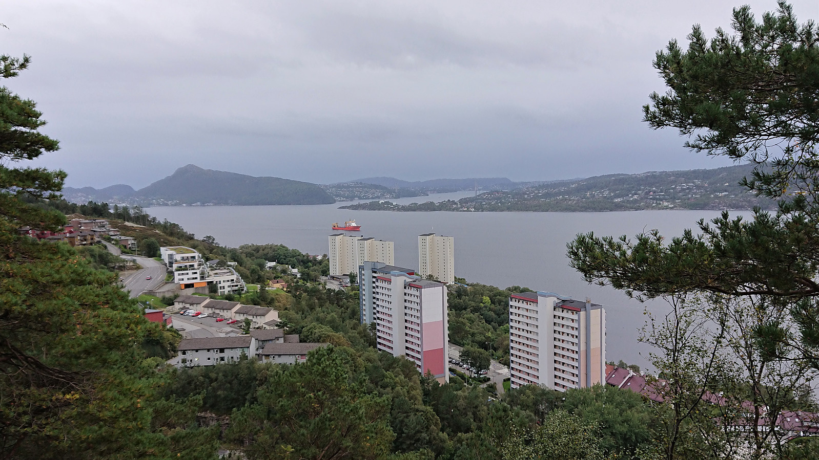 Short local evening hike.
Across Hellen festning
- Date:
- 09.09.2020
- Characteristic:
- Hike
- Duration:
- 0:37h
- Distance:
- 3.3km
 Short local hike after the first day back at the home office due to the increased COVID-19 restrictions in Bergen.
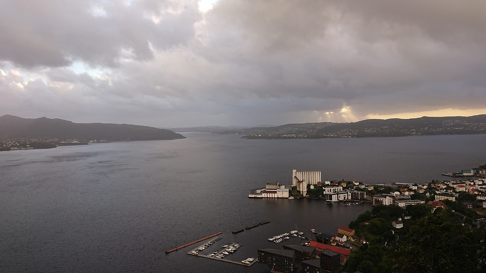
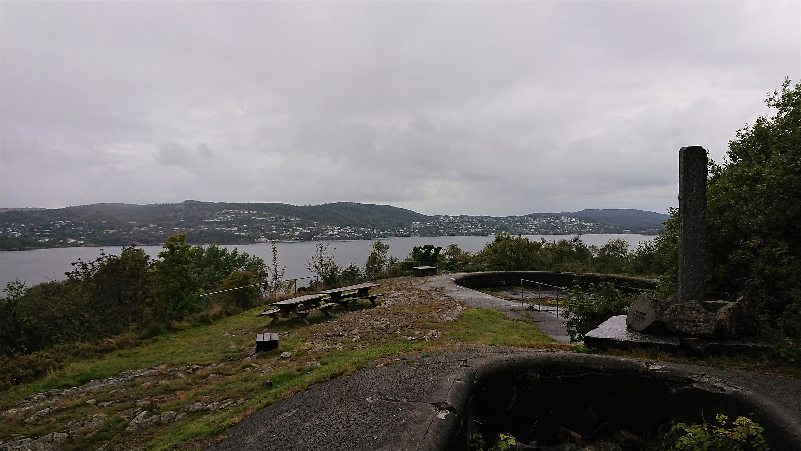
Sandviksbatteriet
- Date:
- 06.09.2020
- Characteristic:
- Hike
- Duration:
- 1:55h
- Distance:
- 10.5km
 When the rain finally stopped there was not time for anything but a local hike.
Across Hellen festning
- Date:
- 05.09.2020
- Characteristic:
- Hike
- Duration:
- 0:38h
- Distance:
- 3.5km
 Short local hike on a wet Saturday.
Ulrikseggen
- Date:
- 02.09.2020
- Characteristic:
- Hillwalk
- Duration:
- 2:58h
- Distance:
- 11.1km
 A hike after work to try the steep trail to Ulriken via Ulrikseggen.
Before starting on Ulrikseggen I made short detours to the ruins of Krutthuset and to Karistølen. I did not find a trail to the former, it was less than 20 meters from the road though, while for the latter, a trail continued where the road ended, but as far as I could tell it did not go far.
The Ulrikseggen trailhead was unmarked but relatively easy to locate. After the first meters being wet and muddy, the trail quality was significantly better than expected. There were a couple of short sections requiring a bit of scrambling, but overall the trail did not present any real challenges, and provided several spots with excellent views. After reaching the summit of Ulriken Vest , I descended via Langrinden.
To conclude, this is in my opinion by far the most >>>
A hike after work to try the steep trail to Ulriken via Ulrikseggen.
Before starting on Ulrikseggen I made short detours to the ruins of Krutthuset and to Karistølen. I did not find a trail to the former, it was less than 20 meters from the road though, while for the latter, a trail continued where the road ended, but as far as I could tell it did not go far.
The Ulrikseggen trailhead was unmarked but relatively easy to locate. After the first meters being wet and muddy, the trail quality was significantly better than expected. There were a couple of short sections requiring a bit of scrambling, but overall the trail did not present any real challenges, and provided several spots with excellent views. After reaching the summit of Ulriken Vest , I descended via Langrinden.
To conclude, this is in my opinion by far the most >>>
