Archive - Date
Archive - Activity
-
Bike trip (111)
- Bike trip - mixed (25)
- Bike trip - road (86)
-
Drive (9)
- Car drive (9)
-
Other trip (3)
- Kayaking (3)
-
Ski trip (116)
- Backcountry skiing (69)
- Cross-country skiing (47)
- Trip by foot (1898)
Collected lists
-
Utvalgte topper og turmål i Bergen
(349/351)
 99%
99% -
Alle topper i Bergen
(393/400)
98%
-
Voss ≥ 100m pf.
(96/98)
97%
-
Opptur Hordaland
(144/159)
90%
-
Stasjoner på Bergensbanen
(33/40)
82%
-
Ulvik ≥ 100m pf.
(30/38)
78%
-
Hordaland ≥ 100m pf.
(624/863)
72%
-
Mjølfjell PF > 100m
(21/31)
67%
-
Jondal ≥ 100m pf.
(15/23)
65%
-
Dagsturhyttene i Vestland
(36/61)
59%
-
Sunnhordland PF >= 100m
(105/186)
56%
-
Hordaland: Hardanger PF>=100m
(196/359)
54%
-
DNT-hytter i Hordaland
(23/45)
51%
-
Kvinnherad ≥ 100m pf.
(40/79)
50%
-
Eidfjord ≥ 100m pf.
(13/42)
30%
-
Sogndal ≥ 100m pf.
(23/81)
28%
-
Gulen ≥ 100m pf.
(15/54)
27%
-
Vik i Sogn ≥ 100m pf.
(10/46)
21%
-
Sogn - Sør for Sognefjorden PF>=100m
(31/159)
19%
-
DNT-hytter i Sogn og Fjordane
(8/47)
17%

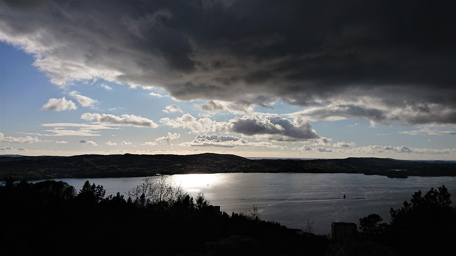
Ørneberget and Rognåsen
- Date:
- 11.05.2020
- Characteristic:
- Hillwalk
- Duration:
- 1:21h
- Distance:
- 6.3km
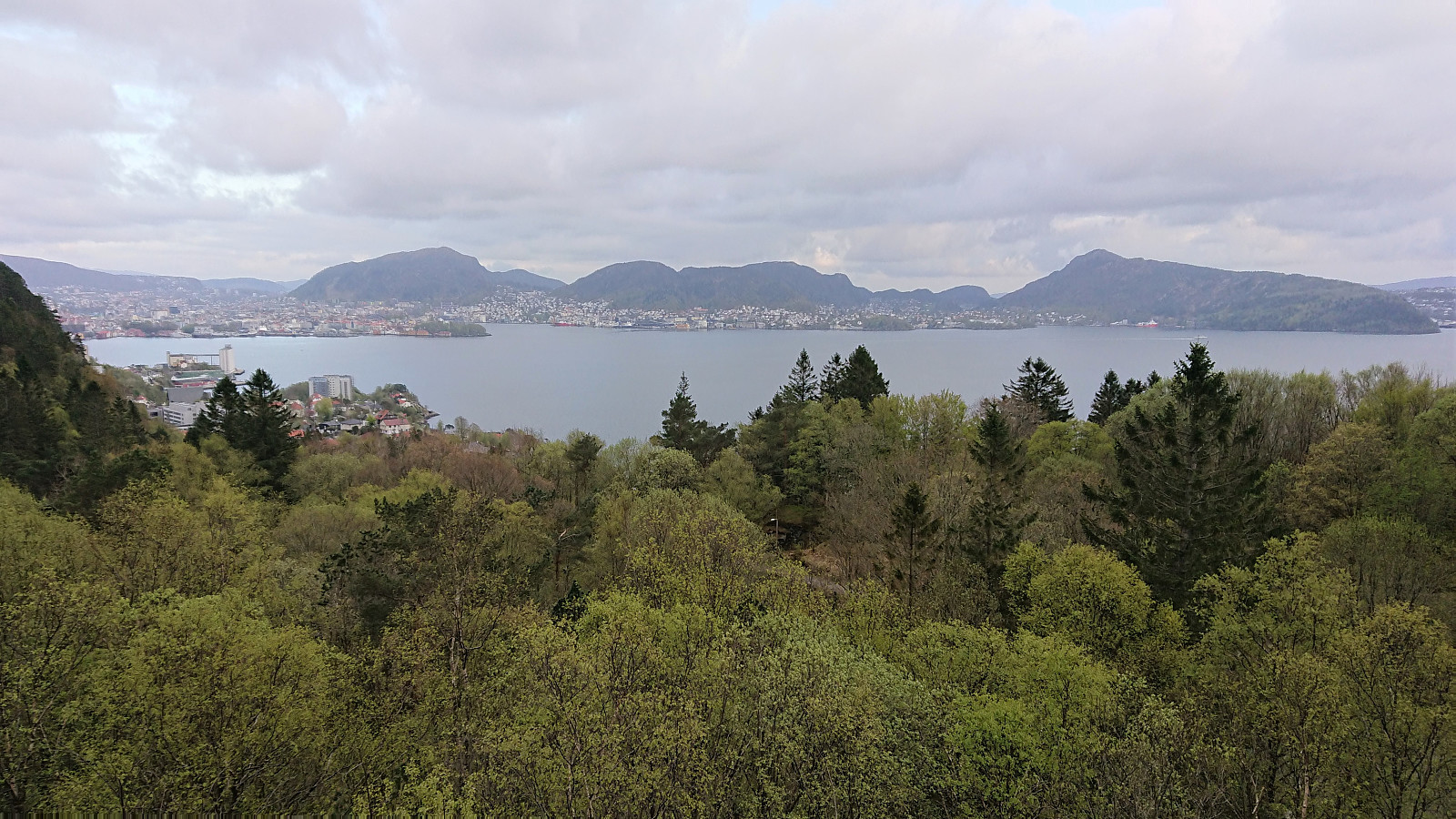
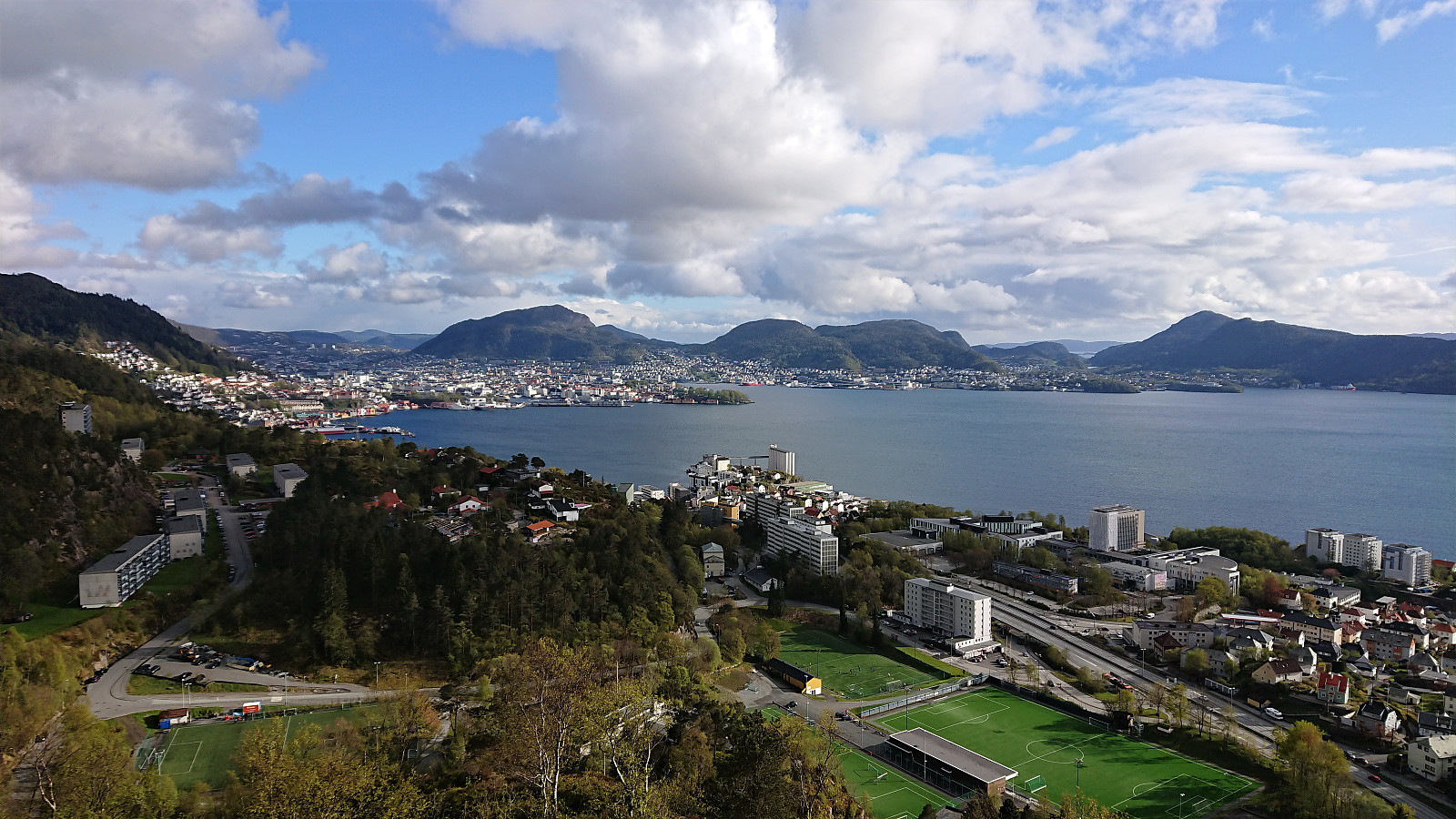 Short local evening hike.
Cabin ruins: Nordnesdalen
- Date:
- 10.05.2020
- Characteristic:
- Hillwalk
- Duration:
- 3:15h
- Distance:
- 7.7km
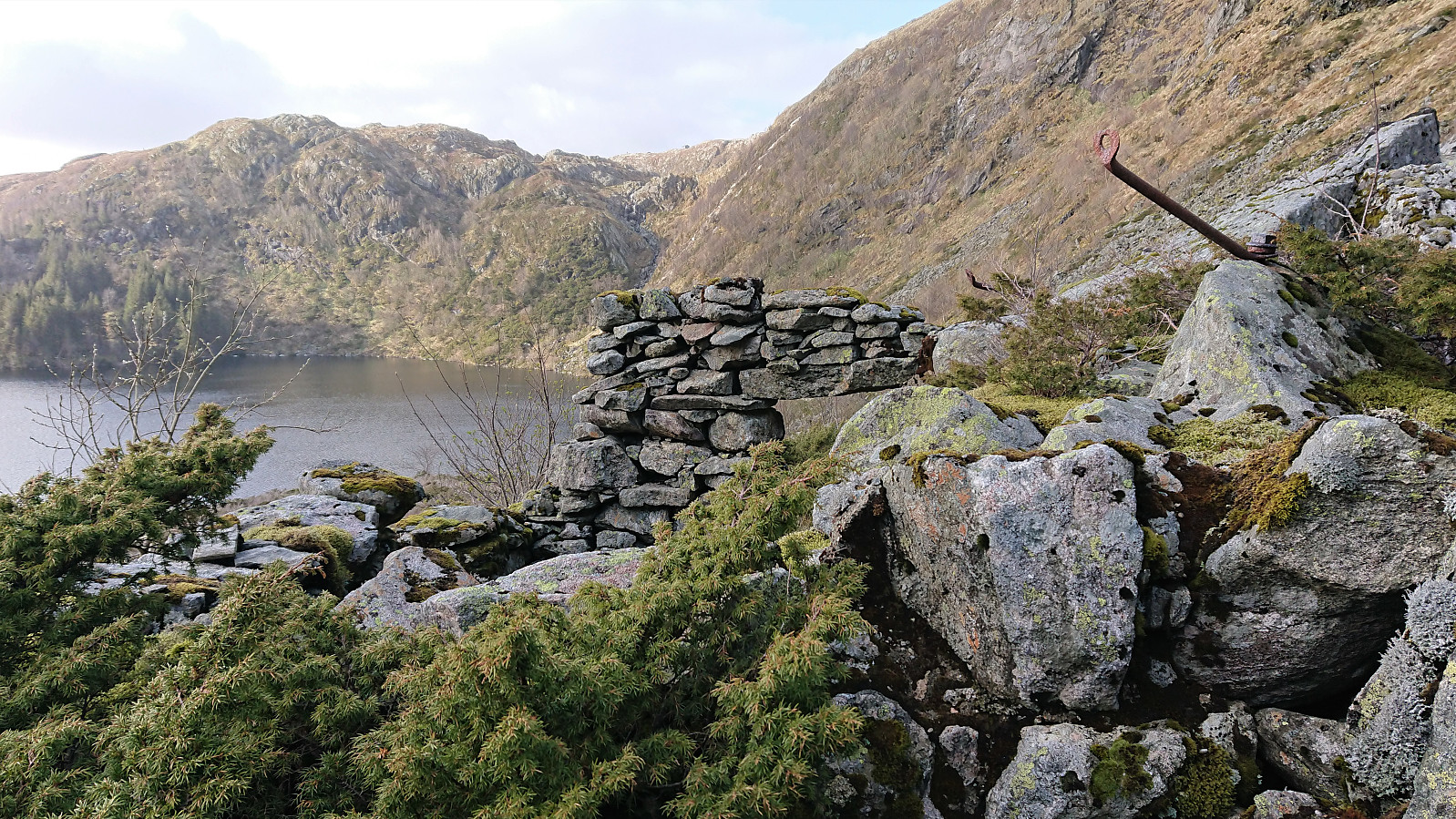
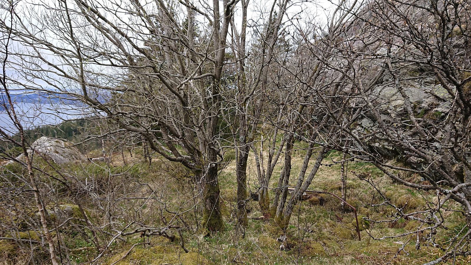
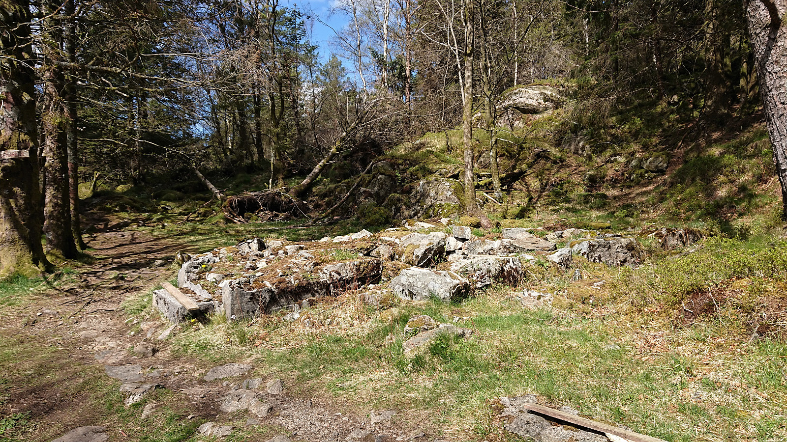 More visits of old cabin ruins, this time in Nordnesdalen where I could simply follow in the footsteps of knutsverre (Knut S. Andersen) . His impressive work for locating the ruins in Nordnesdalen made sure that I could find all of them without any issues. A task that otherwise would have been significantly more difficult given that the map in Bergensernes Fjellverden II clearly had its shortcoming for this particular area.
Across Hellen festning
- Date:
- 09.05.2020
- Characteristic:
- Hike
- Duration:
- 0:34h
- Distance:
- 3.1km
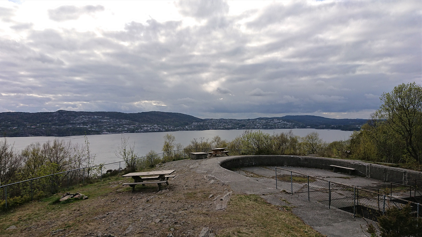
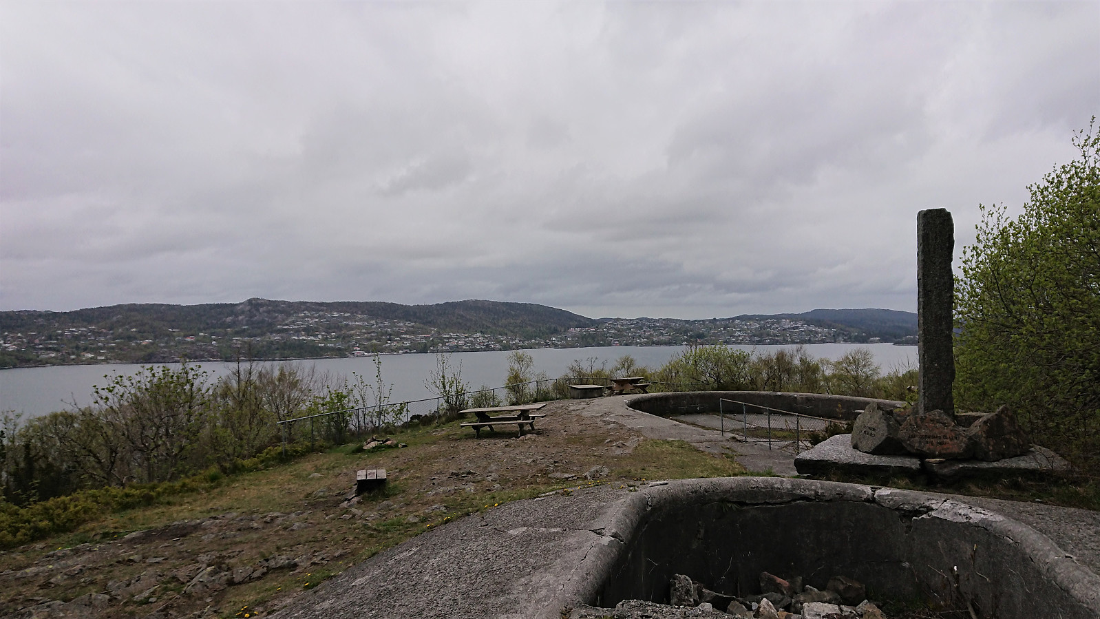 Short local hike. Made it home just as the first raindrops started to appear.
Cabin ruins: Landåsfjellet
- Date:
- 08.05.2020
- Characteristic:
- Hillwalk
- Duration:
- 4:17h
- Distance:
- 15.4km
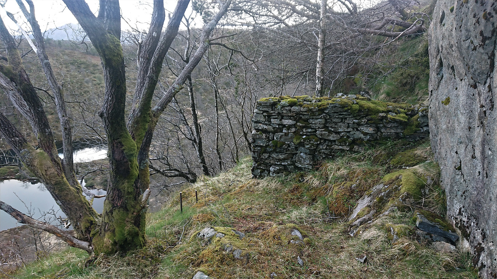 Another search for old cabins mentioned in Bergensernes Fjellverden II, this time focusing on Landåsfjellet. Yet again I had studied aerial photos and thus knew where most of the cabins were located, or at least had an idea of where they ought to be. But for some there were no traces in the aerial photos at all, neither from 1951 nor 2016, most notably Landåshytten and Fjellro. These have therefore not yet been added as PB-elements.
The location of Fjellro is well-defined though: pretty much on the trail on the west side of Nubbevatnet. I guess once again I have to go back armed with an old black and white photo of the cabin like I did for Fjeldglimt (ruin) . This could also be an option for Landåshytten, but here the actual location is more uncertain.
One cabin that does show up on the aerial photos from 1951 >>>
Another search for old cabins mentioned in Bergensernes Fjellverden II, this time focusing on Landåsfjellet. Yet again I had studied aerial photos and thus knew where most of the cabins were located, or at least had an idea of where they ought to be. But for some there were no traces in the aerial photos at all, neither from 1951 nor 2016, most notably Landåshytten and Fjellro. These have therefore not yet been added as PB-elements.
The location of Fjellro is well-defined though: pretty much on the trail on the west side of Nubbevatnet. I guess once again I have to go back armed with an old black and white photo of the cabin like I did for Fjeldglimt (ruin) . This could also be an option for Landåshytten, but here the actual location is more uncertain.
One cabin that does show up on the aerial photos from 1951 >>>
Across Hellen festning
- Date:
- 07.05.2020
- Characteristic:
- Hike
- Duration:
- 0:41h
- Distance:
- 3.7km
 Short local evening hike.
Urheim
- Date:
- 06.05.2020
- Characteristic:
- Hillwalk
- Duration:
- 3:37h
- Distance:
- 14.6km
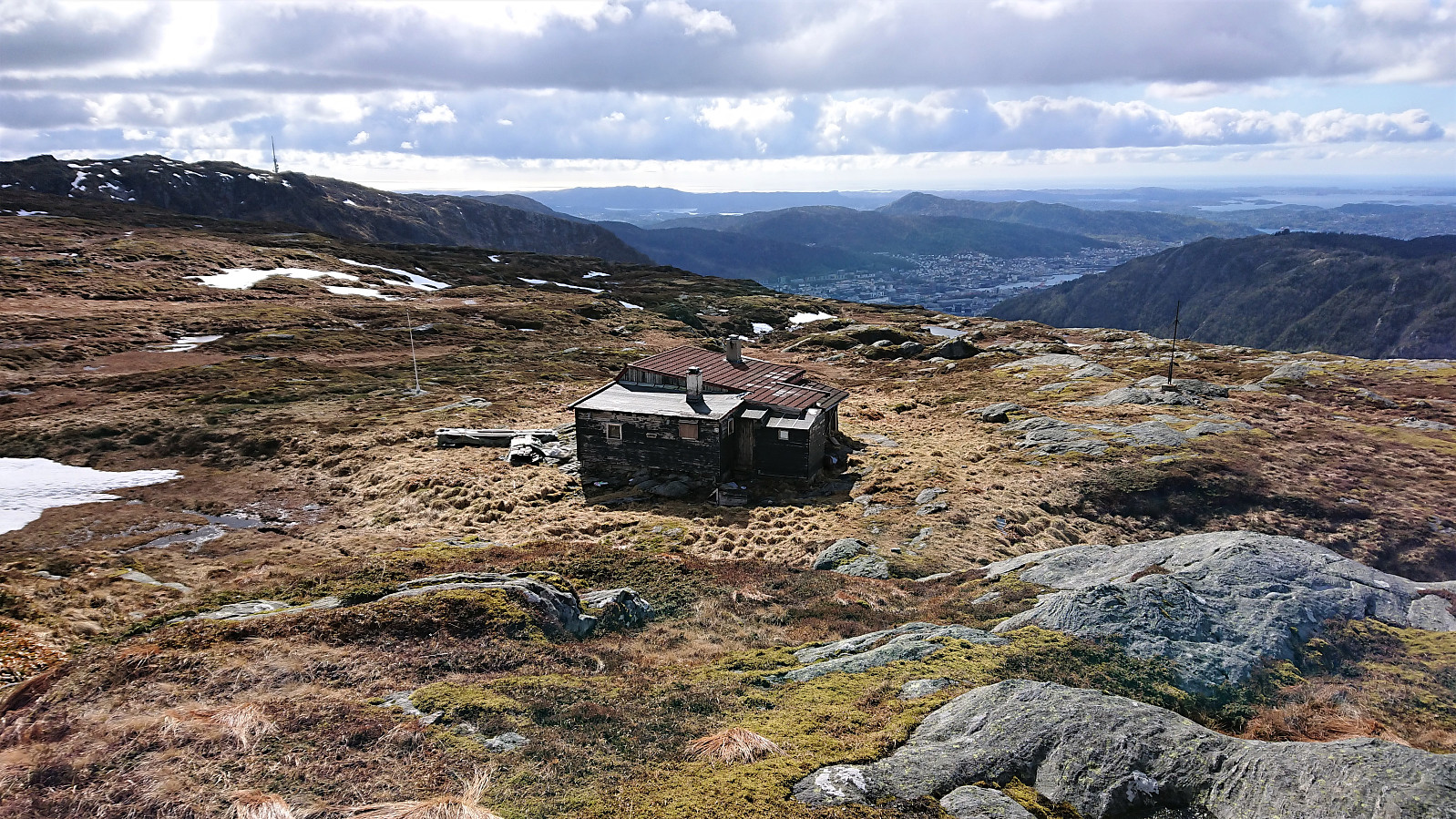
 An evening hike with the goal of visiting the ruins of Urheim . Again I had been studying aerial photos to locate the cabin, but this time the newer better resolution photos from 2016 were used, as the cabin was a ruin even on the oldest photos from 1951 and thus hardly visible. The ruins were therefore easily located, although the terrain from the trail to the ruins was more cumbersome than expected due to lots of low bushes and unstable footing.
I think it is safe to say that the location of the cabin very much fits its name. And for once it was straightforward to verify that I was at the correct ruins, as the name of the cabin was chiseled into one of the larger rocks next to the door opening. If only more of these old ruins could be marked this way it would make the job of locating them much easier.
An evening hike with the goal of visiting the ruins of Urheim . Again I had been studying aerial photos to locate the cabin, but this time the newer better resolution photos from 2016 were used, as the cabin was a ruin even on the oldest photos from 1951 and thus hardly visible. The ruins were therefore easily located, although the terrain from the trail to the ruins was more cumbersome than expected due to lots of low bushes and unstable footing.
I think it is safe to say that the location of the cabin very much fits its name. And for once it was straightforward to verify that I was at the correct ruins, as the name of the cabin was chiseled into one of the larger rocks next to the door opening. If only more of these old ruins could be marked this way it would make the job of locating them much easier.
Across Hellen festning
- Date:
- 05.05.2020
- Characteristic:
- Hike
- Duration:
- 0:35h
- Distance:
- 3.2km
 Short local evening hike after work.
Cabin ruins: Ulriken, Vidden and Langelien
- Date:
- 03.05.2020
- Characteristic:
- Hillwalk
- Duration:
- 7:29h
- Distance:
- 24.4km
 Another hike with the main goal of locating old cabin ruins, this time focusing on Ulriken, Vidden and Langelien. Plus a revisit of Fjeldglimt , or rather a first visit I should say, given that my previous visit had not been to the correct ruins . Having learnt my lesson the hard way, I was therefore well prepared and armed with the GPS position of each ruin gathered via close inspection of historical aerial photos via 1881.no. Here's an example showing Sangerhytten, Padden and Framheim in 1951 . And here's Sangerhytten when it was still standing: Sangerhytten between 1900 and 1910 .
All of the ruins were therefore easy to locate, with the exception of Fjeldglimt which was long gone even in 1951 and could only found by comparing against the old black and white photo available in Bergensernes Fjellverden II. Note that most of these areas are hardly visited anymore, hence there was a lot of off-trail hiking. However, the only section requiring >>>
Another hike with the main goal of locating old cabin ruins, this time focusing on Ulriken, Vidden and Langelien. Plus a revisit of Fjeldglimt , or rather a first visit I should say, given that my previous visit had not been to the correct ruins . Having learnt my lesson the hard way, I was therefore well prepared and armed with the GPS position of each ruin gathered via close inspection of historical aerial photos via 1881.no. Here's an example showing Sangerhytten, Padden and Framheim in 1951 . And here's Sangerhytten when it was still standing: Sangerhytten between 1900 and 1910 .
All of the ruins were therefore easy to locate, with the exception of Fjeldglimt which was long gone even in 1951 and could only found by comparing against the old black and white photo available in Bergensernes Fjellverden II. Note that most of these areas are hardly visited anymore, hence there was a lot of off-trail hiking. However, the only section requiring >>>
Ørneberget NV
- Date:
- 02.05.2020
- Characteristic:
- Hike
- Duration:
- 0:30h
- Distance:
- 2.0km
 Short local hike from Øyjorden to Lønborg with a quick stop at Ørneberget NV. Had planned to go further but it started raining.
Cabin ruins: Søre Midtfjellet, Ranen and Øvre Jordalsvatnet
- Date:
- 01.05.2020
- Characteristic:
- Hillwalk
- Duration:
- 6:29h
- Distance:
- 22.5km
 Yet another hike with the goal of searching for old cabins. This time starting from Torget and covering Søre Midtfjellet , Ranen and the area around Øvre Jordalsvatnet. Most of the cabins where easy to locate, the exception being Kveldsol where there were only limited traces left. New PB-elements added: Fredheim , Kveldsol , Brannmannshytten , Fjellstuen , Redningshytten , Fram and Høgelien . Plus Granbakketårnet and Bergensbakken .
For an excellent picture from when all of the cabins from Heimtun to Fjellhytten were still standing, check out
From Fløyen 1918-04-20 . Do remember to zoom! Here is one with only Heimtun, Fredheim and Kveldsol: From Fløyfjellet between 1925 and 1927 . And finally, here is one showing Granbakken: From Midtfjellet toward Skomakerdiket between 1950 and 1959 , and one showing Bergensbakken: Bergensbakken between 1920 and 1939 with Redningshytten in the lower right-hand corner.
Yet another hike with the goal of searching for old cabins. This time starting from Torget and covering Søre Midtfjellet , Ranen and the area around Øvre Jordalsvatnet. Most of the cabins where easy to locate, the exception being Kveldsol where there were only limited traces left. New PB-elements added: Fredheim , Kveldsol , Brannmannshytten , Fjellstuen , Redningshytten , Fram and Høgelien . Plus Granbakketårnet and Bergensbakken .
For an excellent picture from when all of the cabins from Heimtun to Fjellhytten were still standing, check out
From Fløyen 1918-04-20 . Do remember to zoom! Here is one with only Heimtun, Fredheim and Kveldsol: From Fløyfjellet between 1925 and 1927 . And finally, here is one showing Granbakken: From Midtfjellet toward Skomakerdiket between 1950 and 1959 , and one showing Bergensbakken: Bergensbakken between 1920 and 1939 with Redningshytten in the lower right-hand corner.
