Archive - Date
Archive - Activity
-
Bike trip (111)
- Bike trip - mixed (25)
- Bike trip - road (86)
-
Drive (9)
- Car drive (9)
-
Other trip (3)
- Kayaking (3)
-
Ski trip (116)
- Backcountry skiing (69)
- Cross-country skiing (47)
- Trip by foot (1897)
Collected lists
-
Utvalgte topper og turmål i Bergen
(349/351)
 99%
99% -
Alle topper i Bergen
(393/400)
98%
-
Voss ≥ 100m pf.
(96/98)
97%
-
Opptur Hordaland
(144/159)
90%
-
Stasjoner på Bergensbanen
(33/40)
82%
-
Ulvik ≥ 100m pf.
(30/38)
78%
-
Hordaland ≥ 100m pf.
(624/863)
72%
-
Mjølfjell PF > 100m
(21/31)
67%
-
Jondal ≥ 100m pf.
(15/23)
65%
-
Dagsturhyttene i Vestland
(36/61)
59%
-
Sunnhordland PF >= 100m
(105/186)
56%
-
Hordaland: Hardanger PF>=100m
(196/359)
54%
-
DNT-hytter i Hordaland
(23/45)
51%
-
Kvinnherad ≥ 100m pf.
(40/79)
50%
-
Eidfjord ≥ 100m pf.
(13/42)
30%
-
Sogndal ≥ 100m pf.
(23/81)
28%
-
Gulen ≥ 100m pf.
(15/54)
27%
-
Vik i Sogn ≥ 100m pf.
(10/46)
21%
-
Sogn - Sør for Sognefjorden PF>=100m
(31/159)
19%
-
DNT-hytter i Sogn og Fjordane
(8/47)
17%

Cycling: Barsnesfjorden
- Date:
- 08.08.2019
- Characteristic:
- Bike trip - road
- Duration:
- 1:01h
- Distance:
- 4.3km
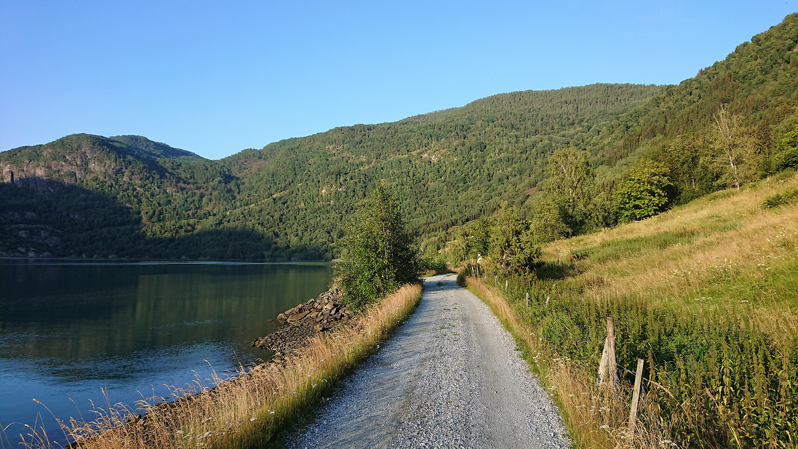
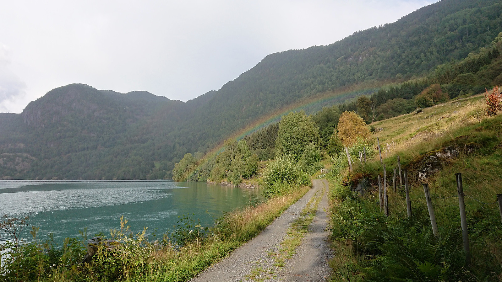 Another short bike trip along Barsnesfjorden, but this time it started raining on the return.
Note that the road this hike follows is private, i.e. no cars allowed. There are however a couple of parking spaces down by the small wharf along Barsnesfjorden just before the road turns west and starts climbing slightly towards the crossroads at Barsnes.
Another short bike trip along Barsnesfjorden, but this time it started raining on the return.
Note that the road this hike follows is private, i.e. no cars allowed. There are however a couple of parking spaces down by the small wharf along Barsnesfjorden just before the road turns west and starts climbing slightly towards the crossroads at Barsnes.
Cycling: Barsnesfjorden
- Date:
- 07.08.2019
- Characteristic:
- Bike trip - road
- Duration:
- 0:34h
- Distance:
- 4.9km
 Another short trip along Barsnesfjorden, but this time on the bike.
Note that the road this hike follows is private, i.e. no cars allowed. There are however a couple of parking spaces down by the small wharf along Barsnesfjorden just before the road turns west and starts climbing slightly towards the crossroads at Barsnes.
Another short trip along Barsnesfjorden, but this time on the bike.
Note that the road this hike follows is private, i.e. no cars allowed. There are however a couple of parking spaces down by the small wharf along Barsnesfjorden just before the road turns west and starts climbing slightly towards the crossroads at Barsnes.
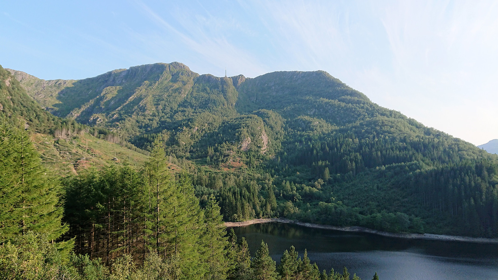
Laugadalen (and an abandoned attempt at Skjerdingane Øst...)
- Date:
- 05.08.2019
- Characteristic:
- Hillwalk
- Duration:
- 3:47h
- Distance:
- 14.1km
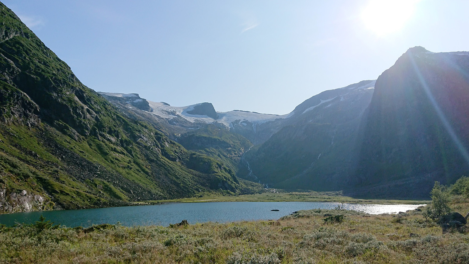 We started out from the parking lot at the bottom of Laugadalen in perfect summer weather and from there followed the forest road, and later marked trail, to Laugavatnet . The trail included several wet areas, but was otherwise easy to follow. Excellent views along the way and also at Laugavatnet itself, where one comes relatively close to Gunvordalsbreen.
Our plan was now to follow in the footsteps of arntfla (Arnt Flatmo) (see his trip report here ) and reach the summit of Skjerdingane Øst . From Laugavatnet we followed a weak trail along the north side of the lake. Clearly not very heavily used, but it could initially be followed without too much difficulty. Within not too long the trail however disappeared completely, and we ended up having to make our own way towards Styggebotngrovi, more or less following along the stream.
From Arnt's report >>>
We started out from the parking lot at the bottom of Laugadalen in perfect summer weather and from there followed the forest road, and later marked trail, to Laugavatnet . The trail included several wet areas, but was otherwise easy to follow. Excellent views along the way and also at Laugavatnet itself, where one comes relatively close to Gunvordalsbreen.
Our plan was now to follow in the footsteps of arntfla (Arnt Flatmo) (see his trip report here ) and reach the summit of Skjerdingane Øst . From Laugavatnet we followed a weak trail along the north side of the lake. Clearly not very heavily used, but it could initially be followed without too much difficulty. Within not too long the trail however disappeared completely, and we ended up having to make our own way towards Styggebotngrovi, more or less following along the stream.
From Arnt's report >>>
Nuken from Åsen
- Date:
- 04.08.2019
- Characteristic:
- Hillwalk
- Duration:
- 3:46h
- Distance:
- 14.4km
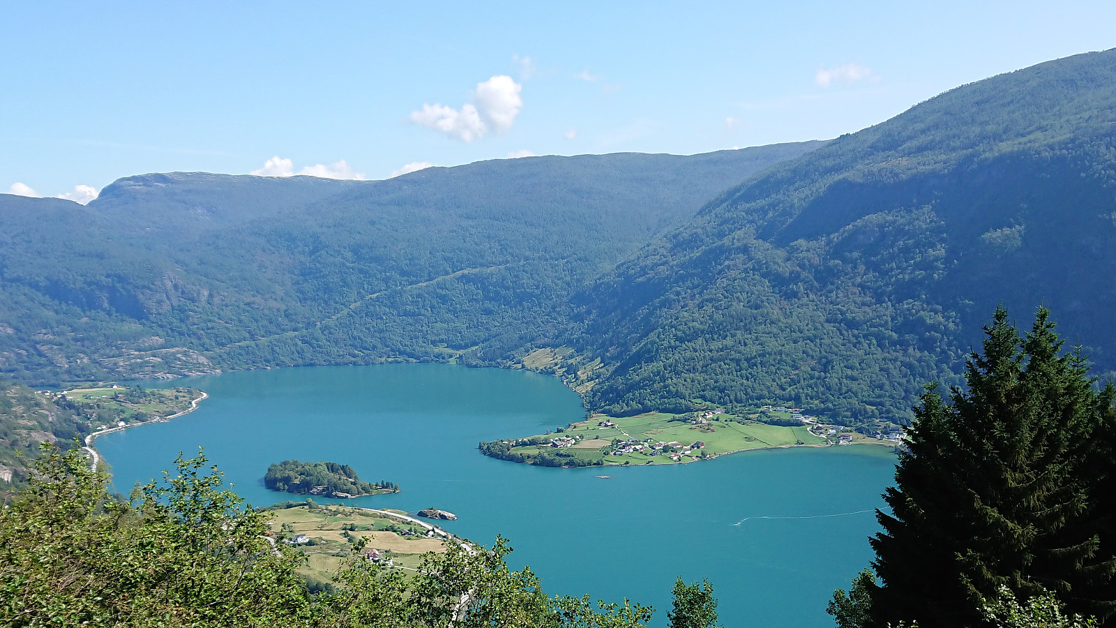 We payed the toll in Åsavegen , parked at Åsen p-plass , and followed the marked trail to Nuken . After a short break at the summit, the rest of my party returned along the same route to the car while I followed the marked trail to Hølsete. The trail was easy to follow but is probably rather wet during less dry periods. I tried finding the shortcut via Røvhaugane , but failed and had to take the long way around. (I later learned that the proper trail is not the main trail indicated on the map, but rather the one passing by the houses further south.) The hike was completed by walking along the roads to Barsnes.
Barsnesfjorden
- Date:
- 03.08.2019
- Characteristic:
- Hike
- Duration:
- 0:46h
- Distance:
- 4.0km
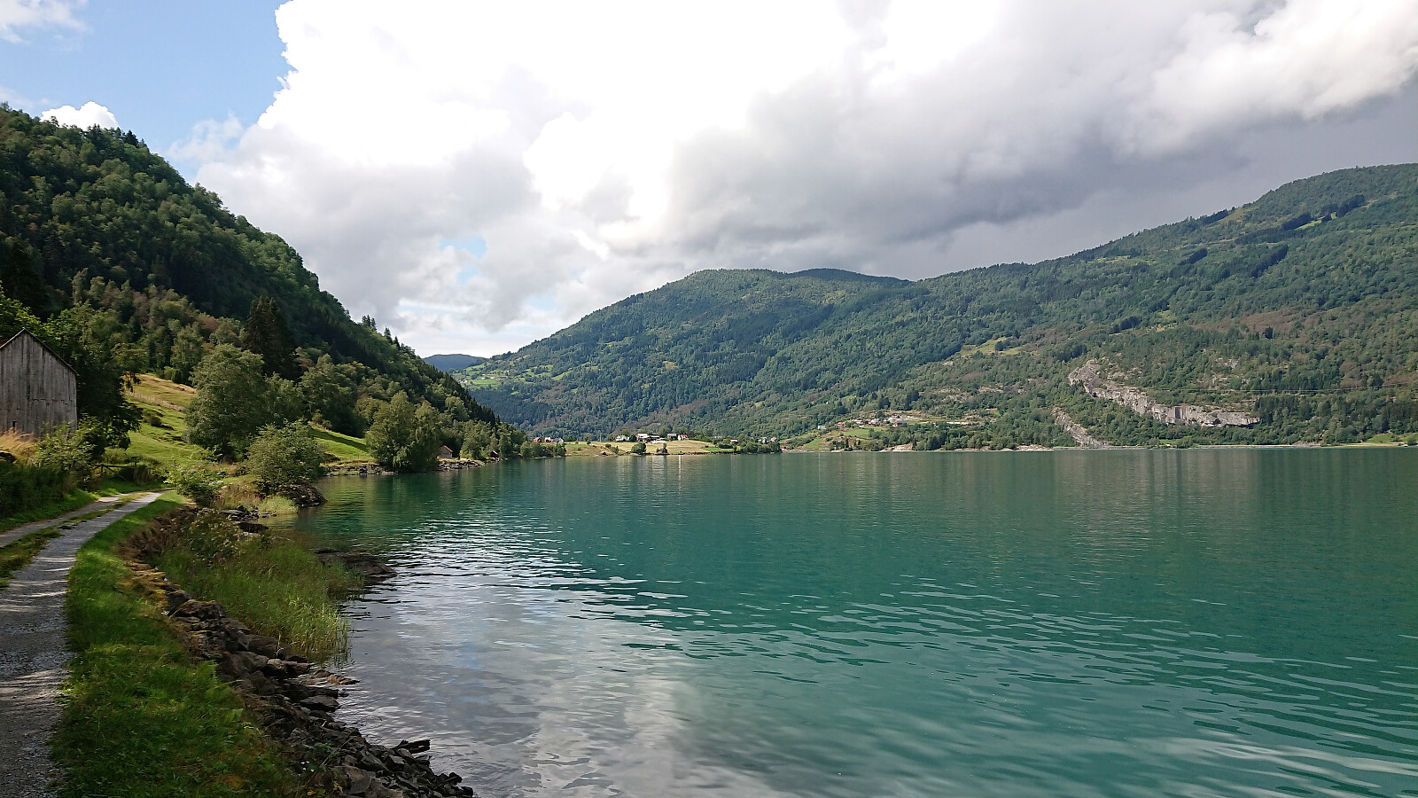
 Short walk along Barsnesfjorden.
(Note that the road this hike follows is private, i.e. no cars allowed. There are however a couple of parking spaces down by the small wharf along Barsnesfjorden just before the road turns west and starts climbing slightly towards the crossroads at Barsnes.)
Short walk along Barsnesfjorden.
(Note that the road this hike follows is private, i.e. no cars allowed. There are however a couple of parking spaces down by the small wharf along Barsnesfjorden just before the road turns west and starts climbing slightly towards the crossroads at Barsnes.)
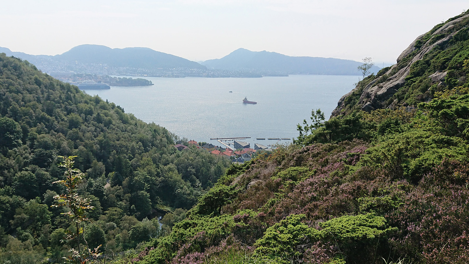
Cycling: Bjørnstigfjellet
- Date:
- 02.08.2019
- Characteristic:
- Bike trip - mixed
- Duration:
- 7:24h
- Distance:
- 63.8km
 Ever since last year's attempt to cycle to Fimreite ended way too abruptly I had wanted to have another go. This time taking it very easy in the sharp turn where I had my unfortunate close encounter with the pavement last July, and thus this time making it safely down to Eide. From there the cycling was straightforward, though always seeming to include more climbing than I remember from previous visits.
From Fimreite I continued west and later east along the gravel road, passing by two gates and a sign with no driving allowed. The gravel road was of good quality and far from steep, but the climb was still tough given the constant ascent providing little to no rest. More than once I considered leaving the bike behind and continuing on foot, but decided not to, given that the bike would be greatly beneficial for my >>>
Ever since last year's attempt to cycle to Fimreite ended way too abruptly I had wanted to have another go. This time taking it very easy in the sharp turn where I had my unfortunate close encounter with the pavement last July, and thus this time making it safely down to Eide. From there the cycling was straightforward, though always seeming to include more climbing than I remember from previous visits.
From Fimreite I continued west and later east along the gravel road, passing by two gates and a sign with no driving allowed. The gravel road was of good quality and far from steep, but the climb was still tough given the constant ascent providing little to no rest. More than once I considered leaving the bike behind and continuing on foot, but decided not to, given that the bike would be greatly beneficial for my >>>
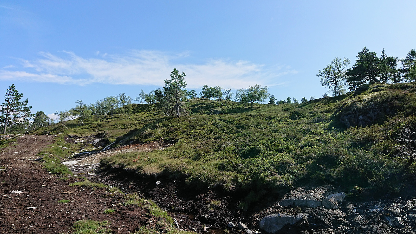
Fagerdalsfjellet, Ørneberget and Håmanen
- Date:
- 30.07.2019
- Characteristic:
- Hillwalk
- Duration:
- 2:52h
- Distance:
- 8.3km
 Local hike across Fagerdalsfjellet, Ørneberget and Håmanen.
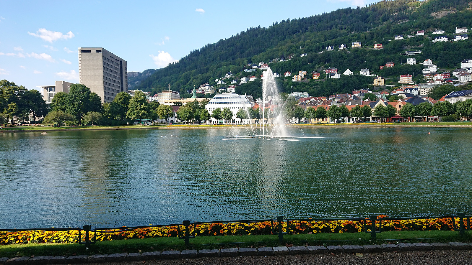
Cycling: Svartediket
- Date:
- 29.07.2019
- Characteristic:
- Bike trip - road
- Duration:
- 2:04h
- Distance:
- 23.9km
 Evening bike ride to Svartediket and back.
Ørneberget and Rognåsen
- Date:
- 29.07.2019
- Characteristic:
- Hillwalk
- Duration:
- 2:13h
- Distance:
- 6.1km
 Local hike across Ørneberget and Rognåsen.
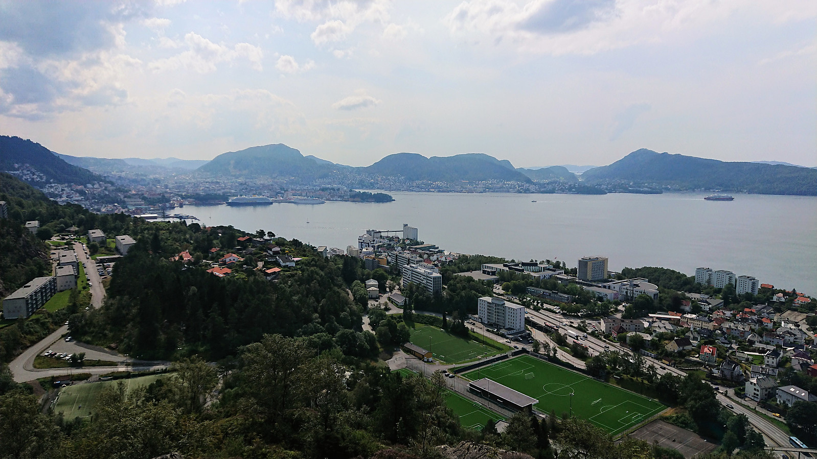
Cycling: Ulriken Roundtrip
- Date:
- 28.07.2019
- Characteristic:
- Bike trip - road
- Duration:
- 3:17h
- Distance:
- 51.9km
 Too warm for hiking. So I went for a cycling trip around Ulriken instead, passing by Nesttun on the way to the city center.
