Archive - Date
Archive - Activity
-
Bike trip (111)
- Bike trip - mixed (25)
- Bike trip - road (86)
-
Drive (9)
- Car drive (9)
-
Other trip (3)
- Kayaking (3)
-
Ski trip (116)
- Backcountry skiing (69)
- Cross-country skiing (47)
- Trip by foot (1897)
Collected lists
-
Utvalgte topper og turmål i Bergen
(349/351)
 99%
99% -
Alle topper i Bergen
(393/400)
98%
-
Voss ≥ 100m pf.
(96/98)
97%
-
Opptur Hordaland
(144/159)
90%
-
Stasjoner på Bergensbanen
(33/40)
82%
-
Ulvik ≥ 100m pf.
(30/38)
78%
-
Hordaland ≥ 100m pf.
(624/863)
72%
-
Mjølfjell PF > 100m
(21/31)
67%
-
Jondal ≥ 100m pf.
(15/23)
65%
-
Dagsturhyttene i Vestland
(36/61)
59%
-
Sunnhordland PF >= 100m
(105/186)
56%
-
Hordaland: Hardanger PF>=100m
(196/359)
54%
-
DNT-hytter i Hordaland
(23/45)
51%
-
Kvinnherad ≥ 100m pf.
(40/79)
50%
-
Eidfjord ≥ 100m pf.
(13/42)
30%
-
Sogndal ≥ 100m pf.
(23/81)
28%
-
Gulen ≥ 100m pf.
(15/54)
27%
-
Vik i Sogn ≥ 100m pf.
(10/46)
21%
-
Sogn - Sør for Sognefjorden PF>=100m
(31/159)
19%
-
DNT-hytter i Sogn og Fjordane
(8/47)
17%

Fagerneset, Hegreneset and Hellen festning
- Date:
- 31.12.2017
- Characteristic:
- Hike
- Duration:
- 2:28h
- Distance:
- 9.8km
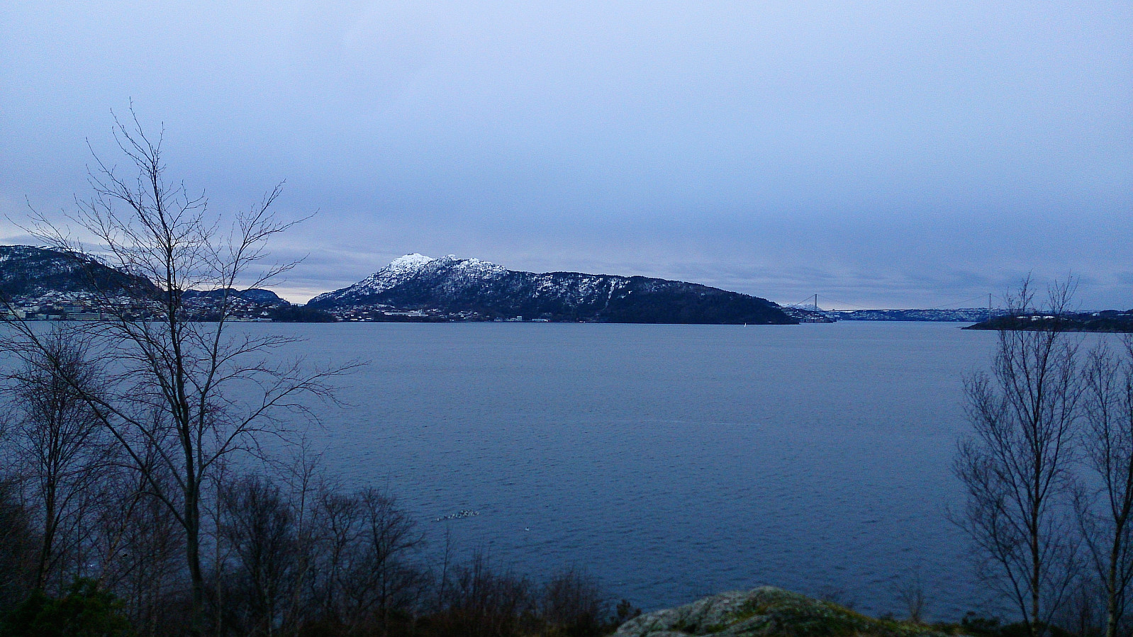 Last hike of 2017 with local explorations of Fagerneset and Hegreneset, before crossing Furukammen and Hellen festning on the way back to Lønborg.
Kolafjellet from Døsjeskiftet
- Date:
- 30.12.2017
- Characteristic:
- Hillwalk
- Duration:
- 3:35h
- Distance:
- 13.3km
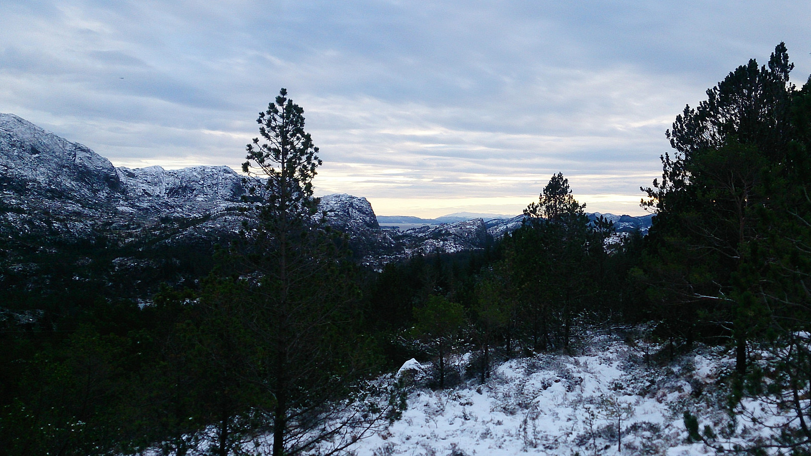 Kolafjellet seemed to be one of those small peaks that are not really worth a hike in itself, so I decided to extend the hike a bit to make the overall trip more enjoyable. Started by taking the bus to Døsjeskiftet and following the paved road up to Bildøyvatnet. From there I followed the marked trail across Vardafjell , ending up at Fjell festning. (The wooden trail markers came in very handy as the trail itself was covered with snow. I therefore more or less ended up walking from one marker to the next.)
I continued south along the roads at Fjell festning until reaching the main road. Previous PB trip reports indicated that there was a tractor road further south that could be utilized to make easy progress towards Kolafjellet. I therefore started walking south along the main road in search of this tractor road, >>>
Kolafjellet seemed to be one of those small peaks that are not really worth a hike in itself, so I decided to extend the hike a bit to make the overall trip more enjoyable. Started by taking the bus to Døsjeskiftet and following the paved road up to Bildøyvatnet. From there I followed the marked trail across Vardafjell , ending up at Fjell festning. (The wooden trail markers came in very handy as the trail itself was covered with snow. I therefore more or less ended up walking from one marker to the next.)
I continued south along the roads at Fjell festning until reaching the main road. Previous PB trip reports indicated that there was a tractor road further south that could be utilized to make easy progress towards Kolafjellet. I therefore started walking south along the main road in search of this tractor road, >>>
Oksneskletten - the extended version
- Date:
- 28.12.2017
- Characteristic:
- Hillwalk
- Duration:
- 3:22h
- Distance:
- 8.9km
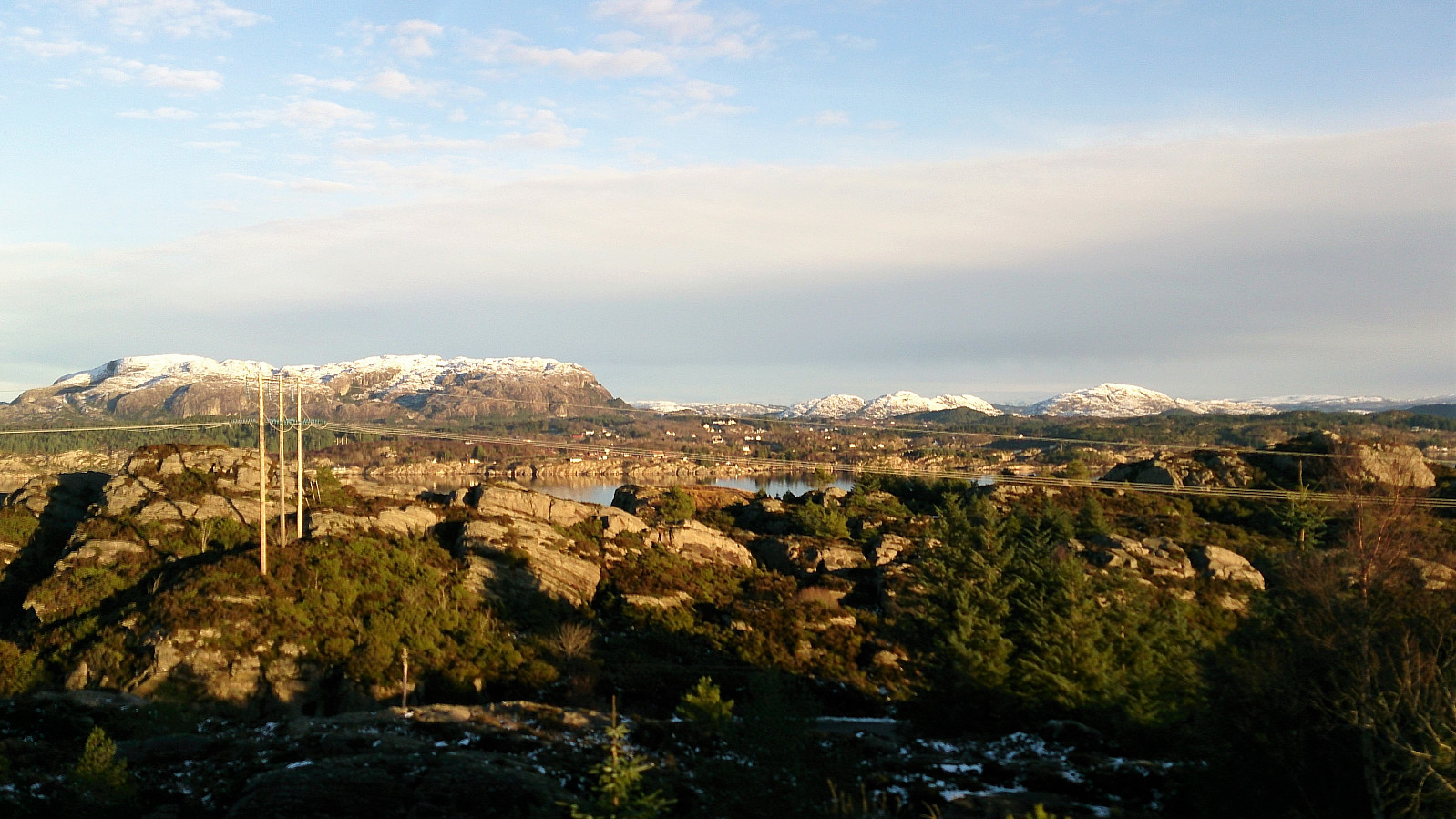 After reading the previous trip reports for Oksneskletten on PB, I concluded that a hike to just the summit would most likely not be the most enjoyable trip (especially given the relatively long travel distance from the Bergen city center). I therefore decided to extend the hike with parts of the Askøy på langs trail to hopefully add some more enjoyable sections.
I therefore started by taking the bus to Merkesvik and from there following the Askøy på langs trail in the southern direction. The marked trailhead was easy to locate from the main road and the trail made it straightforward to progress towards Oksneset.
However, I knew that I had to leave the marked trail to get to the summit of Oksneskletten , but this was easier said than done, as the terrain mainly consisted of trees with thick branches blocking the way or slippery/icy areas with drops >>>
After reading the previous trip reports for Oksneskletten on PB, I concluded that a hike to just the summit would most likely not be the most enjoyable trip (especially given the relatively long travel distance from the Bergen city center). I therefore decided to extend the hike with parts of the Askøy på langs trail to hopefully add some more enjoyable sections.
I therefore started by taking the bus to Merkesvik and from there following the Askøy på langs trail in the southern direction. The marked trailhead was easy to locate from the main road and the trail made it straightforward to progress towards Oksneset.
However, I knew that I had to leave the marked trail to get to the summit of Oksneskletten , but this was easier said than done, as the terrain mainly consisted of trees with thick branches blocking the way or slippery/icy areas with drops >>>
Breiviken and Hellen festning
- Date:
- 27.12.2017
- Characteristic:
- Hike
- Duration:
- 1:45h
- Distance:
- 6.4km
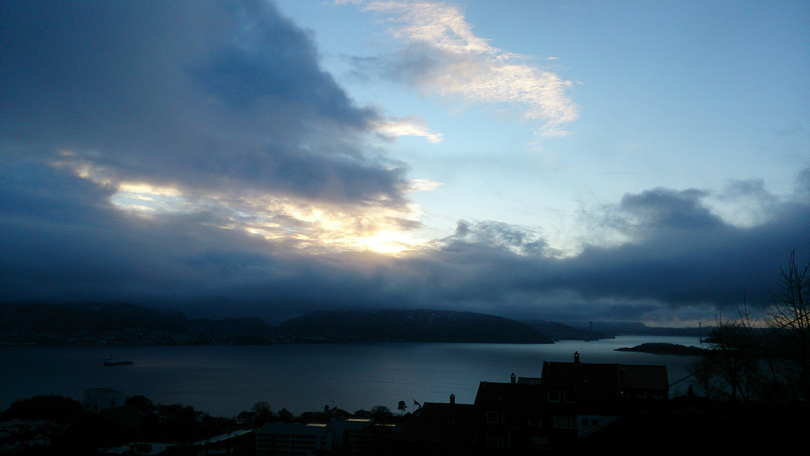 Short local hike to test if my phone, and specifically the GPS in my phone, had recovered from the previous hike in the rain.
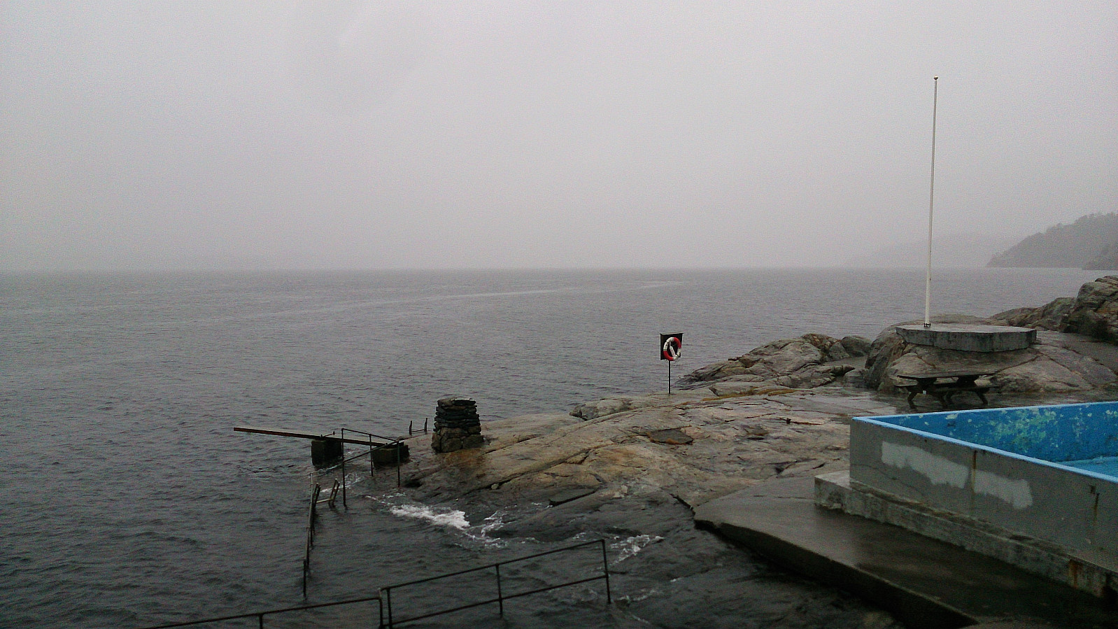
Hellemyrstien, Munkebotn and Hellen festning
- Date:
- 26.12.2017
- Characteristic:
- Hike
- Distance:
- 8.0km
 Short local hike in the rain/snow.
Note that the GPS track was manually created after the hike as my phone had still not recovered from the previous hike...
Short local hike in the rain/snow.
Note that the GPS track was manually created after the hike as my phone had still not recovered from the previous hike...
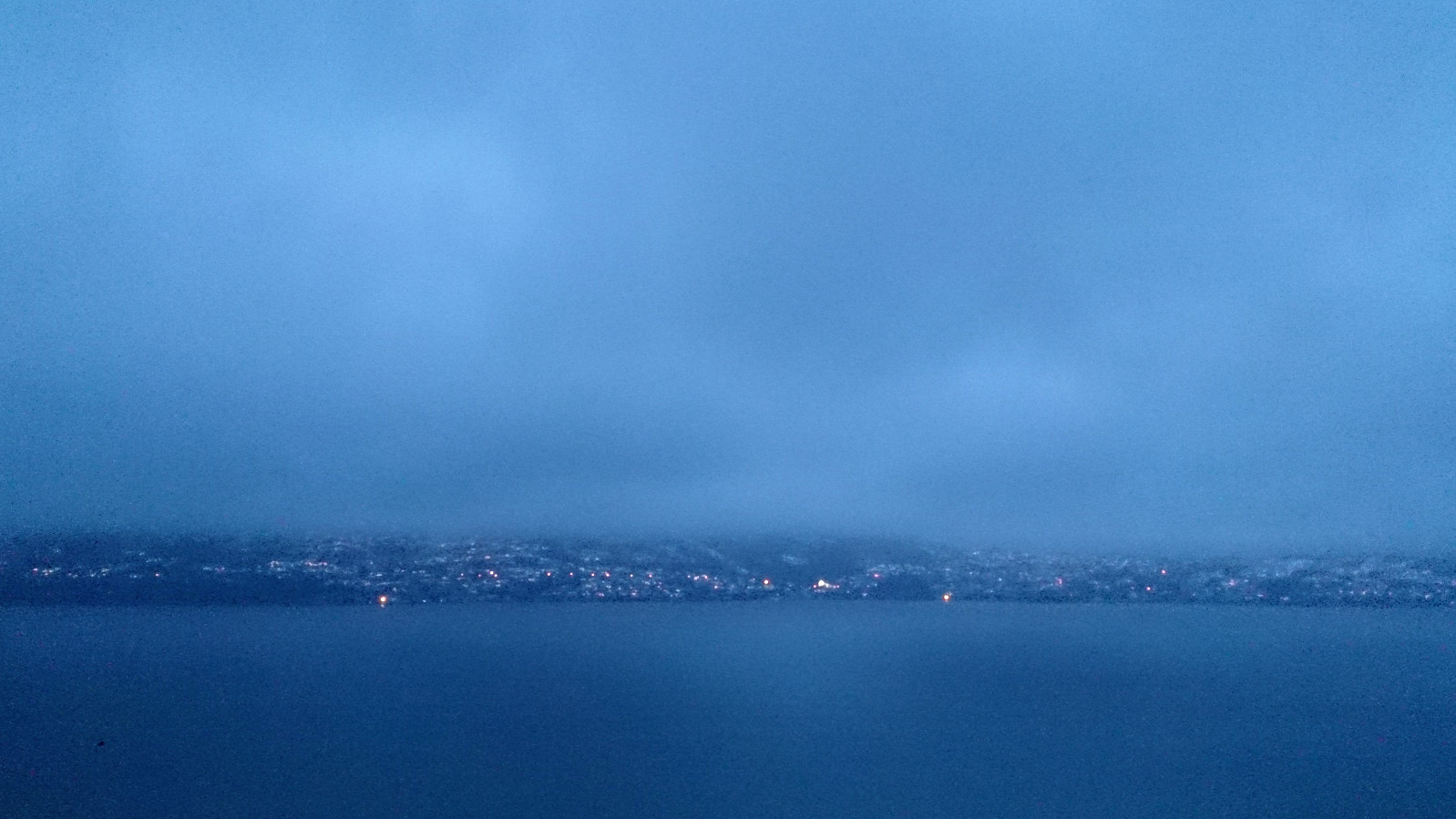
Helleneset, Biskopshavn and Hellen festning
- Date:
- 23.12.2017
- Characteristic:
- Hike
- Duration:
- 1:18h
- Distance:
- 6.4km
 Short local hike due to heavy rain and dense fog. (Note that the GPS tracking was cut short as my phone could not withstand the wet weather and ended up shutting down...)
Storevardhaugane, Kjerrgardsåsen and Ospåsen
- Date:
- 21.12.2017
- Characteristic:
- Hillwalk
- Duration:
- 3:07h
- Distance:
- 9.4km
 Storevardhaugane
Started by taking the bus to Fromreidetoppen and continued west along the road (~400 m) until reaching the trailhead. There was no sidewalk, but there was a narrow trail on the right-hand side of the road could be used. I tried to follow the trail through the woods towards Storevardhaugane . But this was easier said than done, as there were multiple trails to choose from, all with different (mainly) unlabeled markers, i.e. the GPS came in handy.
Storevardhaugane provided decent views, partly blocked by trees. The view towards Eldsfjellet was particularly nice. After signing the visitor register, and looking for a potentially better view south of the summit (which was not to be found), I retraced my steps to one of the previous crossroads, and headed towards Leirdalen and Berlandsvegen.
Kjerrgardsåsen
I followed >>>
Storevardhaugane
Started by taking the bus to Fromreidetoppen and continued west along the road (~400 m) until reaching the trailhead. There was no sidewalk, but there was a narrow trail on the right-hand side of the road could be used. I tried to follow the trail through the woods towards Storevardhaugane . But this was easier said than done, as there were multiple trails to choose from, all with different (mainly) unlabeled markers, i.e. the GPS came in handy.
Storevardhaugane provided decent views, partly blocked by trees. The view towards Eldsfjellet was particularly nice. After signing the visitor register, and looking for a potentially better view south of the summit (which was not to be found), I retraced my steps to one of the previous crossroads, and headed towards Leirdalen and Berlandsvegen.
Kjerrgardsåsen
I followed >>>
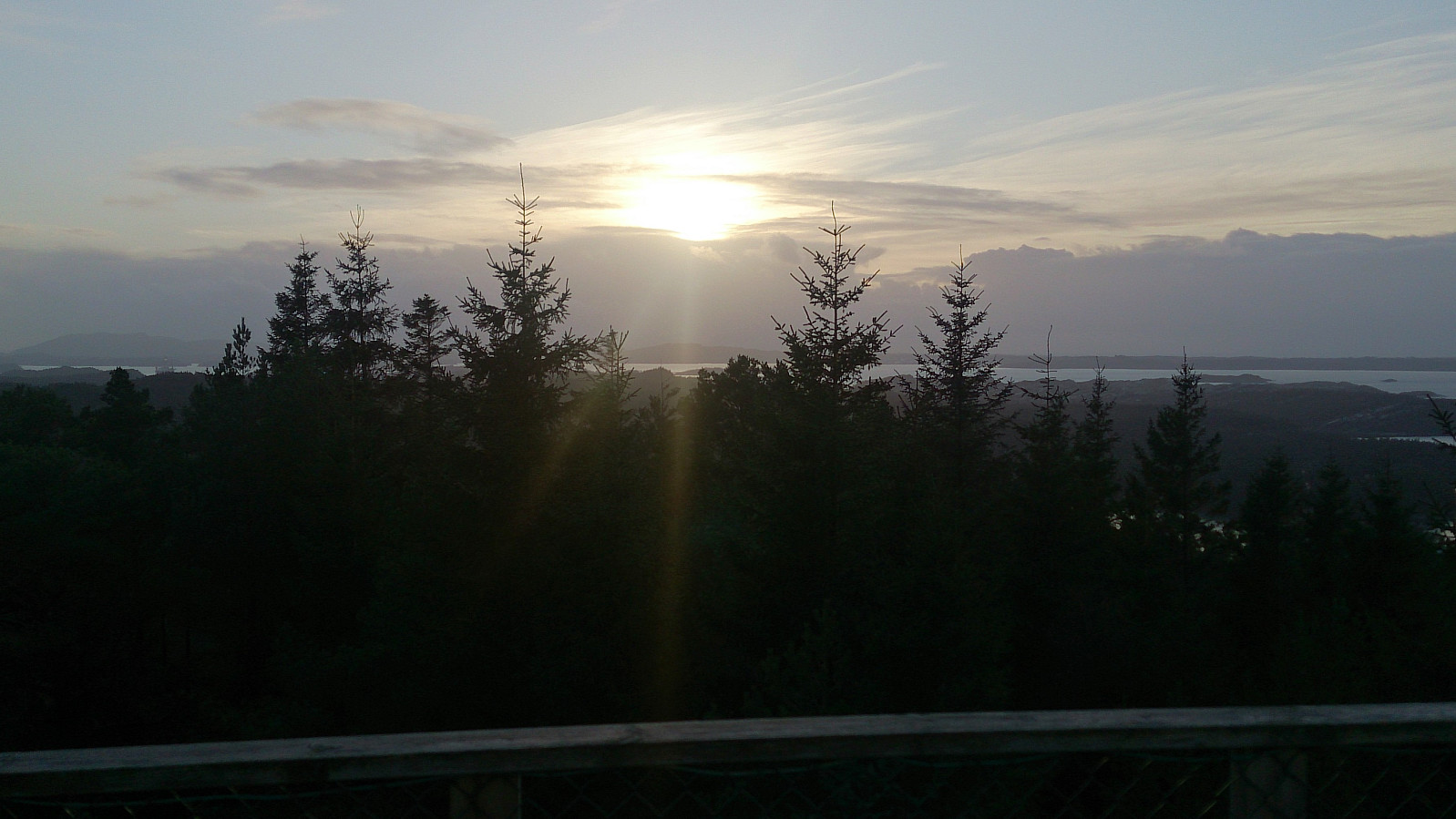
Across Hellen festning
- Date:
- 17.12.2017
- Characteristic:
- Hike
- Duration:
- 1:09h
- Distance:
- 4.9km
 Short local hike across Hellen festning.
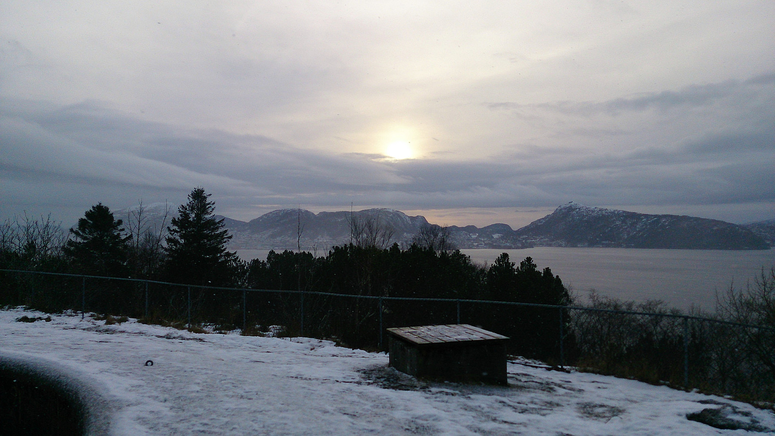
Fjellhytten, Brushytten and Ankerhytten
- Date:
- 16.12.2017
- Characteristic:
- Hillwalk
- Duration:
- 3:33h
- Distance:
- 14.1km
 Started walking from the bus stop at Torget and followed Tippetue up to Fløyen. From there I continued to Fjellhytten before going via Brushytten on the way up towards Rundemanen , and then passing by Ankerhytten on the way down to Munkebotn and finally onwards to Lønborg.
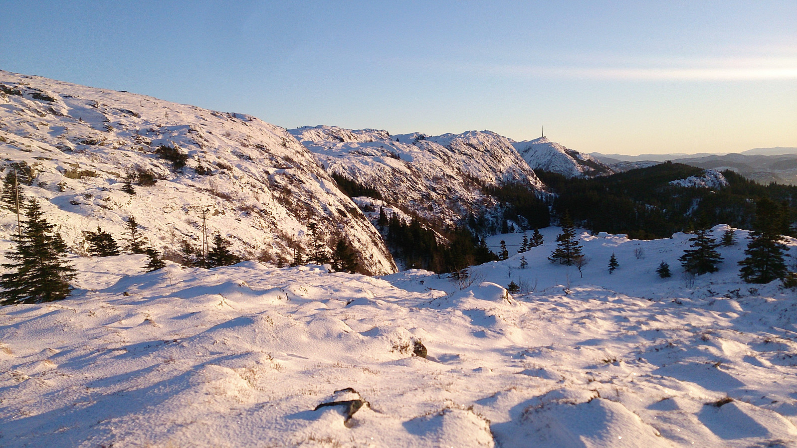
Borgafjellet Roundtrip
- Date:
- 10.12.2017
- Characteristic:
- Hillwalk
- Duration:
- 3:50h
- Distance:
- 13.7km
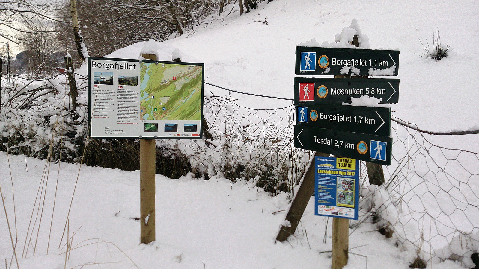 Started by taking the bus to Ulvenskiftet and walking up to Tøsdal from where I followed the relatively new gravel road towards Nordmarka/Hjelle, however today the gravel road could not be seen as it was covered by 10-20 centimeters of snow. I made a quick stop at very nice new suspension bridge called Knutabruo , which I of course had to cross, even though my route did not go in that direction. :)
After reaching Hjelle, the trailhead towards Borgafjellet was easily located. Actually, the route to Borgafjellet was marked with signs all the way from Tøsdal. The trail itself was however impossible to see due to all the snow. But as hoped, I was not the only one heading to Borgafjellet this morning, so thankfully there were several of sets of footprints I could follow up the relatively steep incline.
The trail (or >>>
Started by taking the bus to Ulvenskiftet and walking up to Tøsdal from where I followed the relatively new gravel road towards Nordmarka/Hjelle, however today the gravel road could not be seen as it was covered by 10-20 centimeters of snow. I made a quick stop at very nice new suspension bridge called Knutabruo , which I of course had to cross, even though my route did not go in that direction. :)
After reaching Hjelle, the trailhead towards Borgafjellet was easily located. Actually, the route to Borgafjellet was marked with signs all the way from Tøsdal. The trail itself was however impossible to see due to all the snow. But as hoped, I was not the only one heading to Borgafjellet this morning, so thankfully there were several of sets of footprints I could follow up the relatively steep incline.
The trail (or >>>
