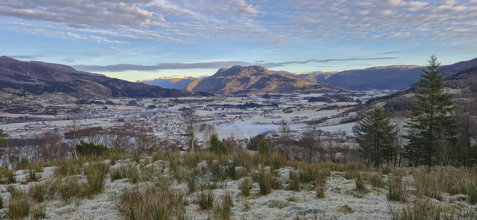
Matskårhaugane from Røynesnes (22.12.2025)

| Start point | Madsgård/Matskår (43m) |
|---|---|
| Endpoint | Madsgård/Matskår (43m) |
| Characteristic | Hillwalk |
| Duration | 1h 18min |
| Distance | 4.7km |
| Vertical meters | 219m |
| GPS |
|
| Ascents | Matskårhaugane (153m) | 22.12.2025 13:52 |
|---|---|---|
| Visits of other PBEs | Matskårhaugane trigpunkt (152m) | 22.12.2025 13:56 |
Matskårhaugane from Røynesnes
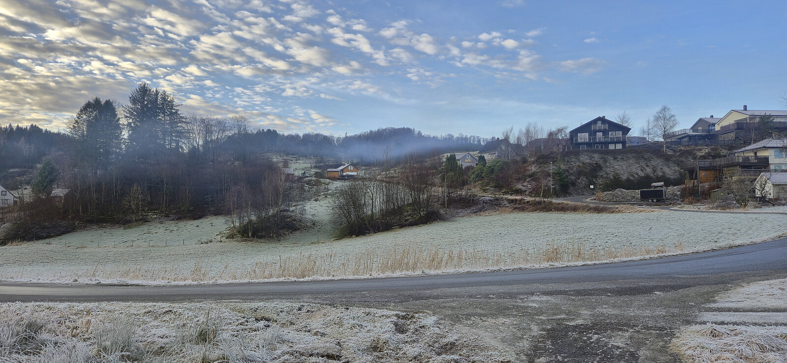
The first day of my extended Christmas holiday was spent travelling to Etne to ascend Matskårhaugane. Getting there from Bergen took around five hours by bus (and ferry), including an hour-long stop in Aksdal (which I used to visit Alvdalsnuten). Upon finally arriving in Etne, I got off at the bus stop Madsgård (which I assume is the same as Matskår on the map).
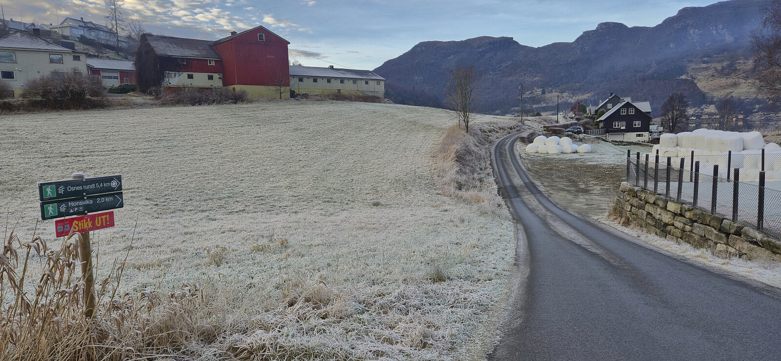
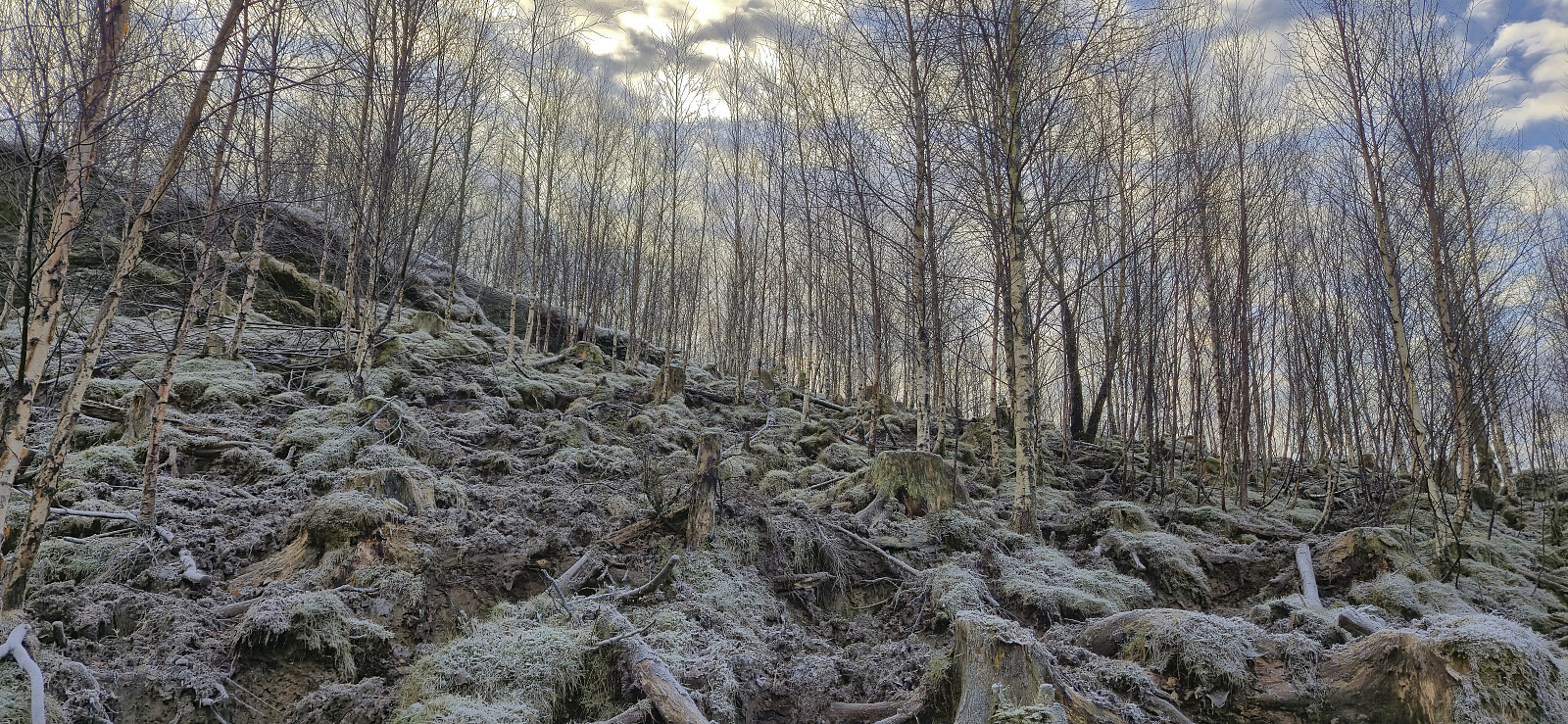
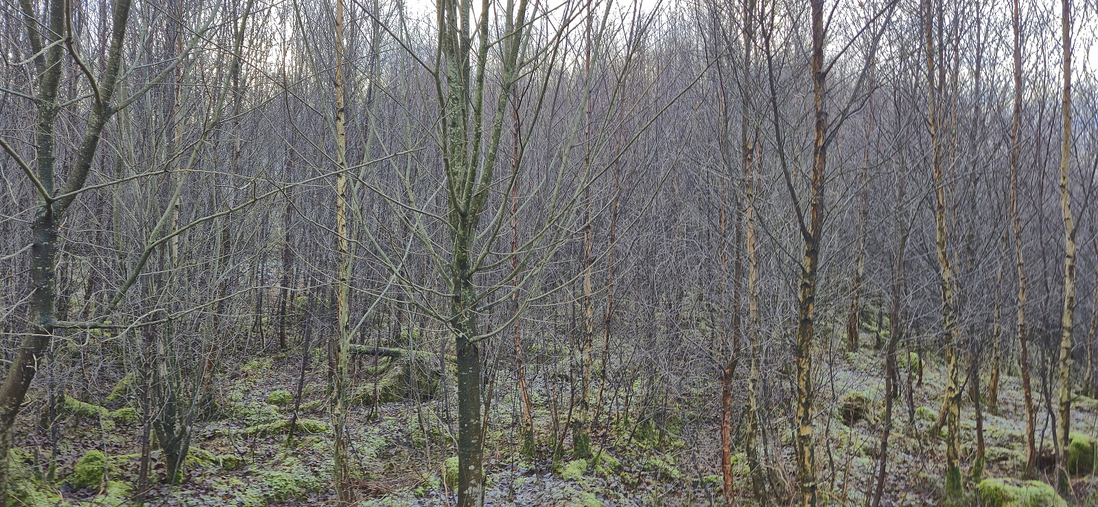
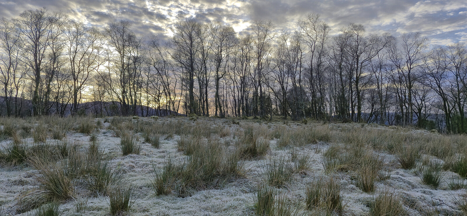
While it most likely would have been fine to follow the tractor roads directly west to the summit, similar to what Petter and Kjell had recently done, I did not take the chance of potentially being stopped by a local farmer. Instead I followed a route similar to PinusSylvestris and ascended from Røynesnes to the north and hoped that I would not come across any of the large cattle shown in his trip report.
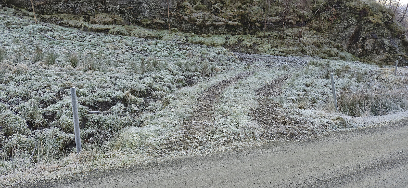
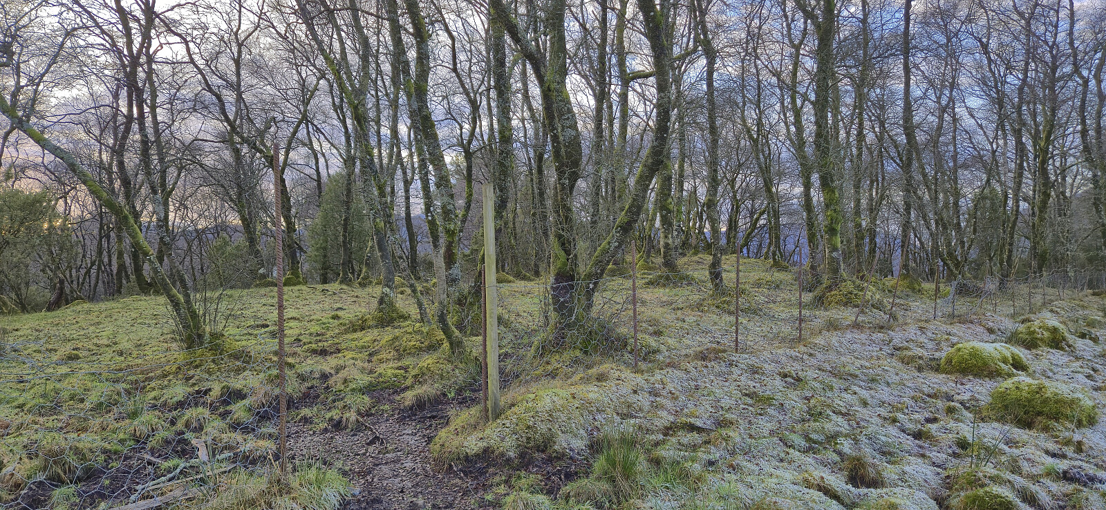
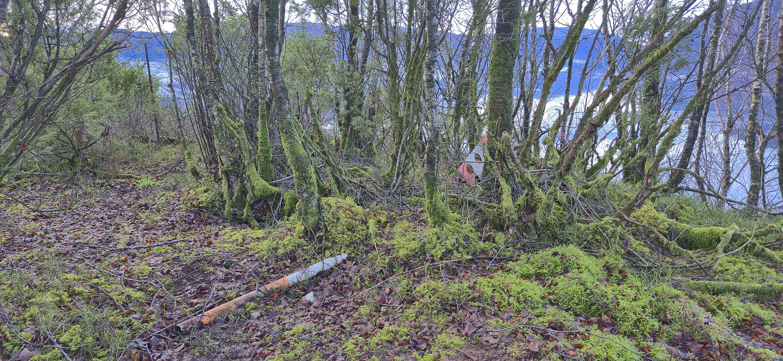
This largely off-trail ascent was relatively straightforward, although the half-frozen ground with lots of traces of the above-mentioned cattle did not help. But besides a short section of dense vegetation and a wire fence that could easily be stepped over, I made it to the summit without any real issues. Thankfully, and as expected, the cattle had also been taken indoors for the winter.
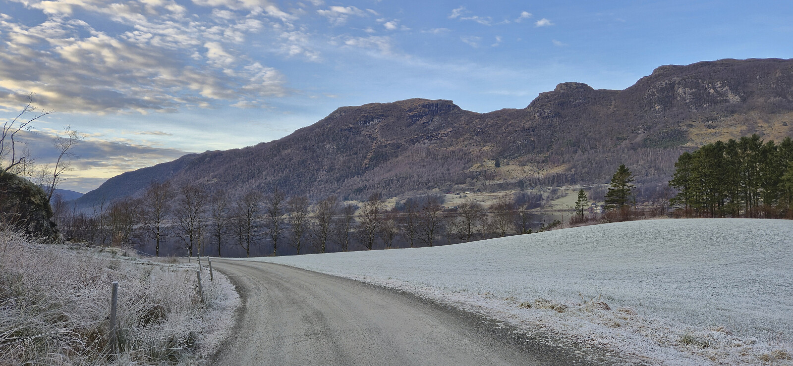
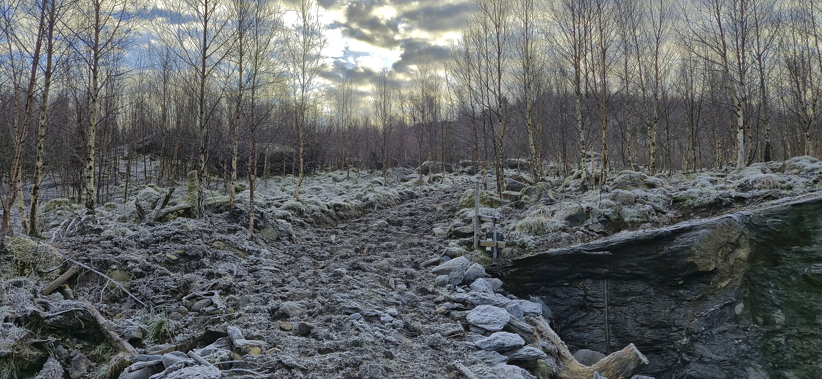
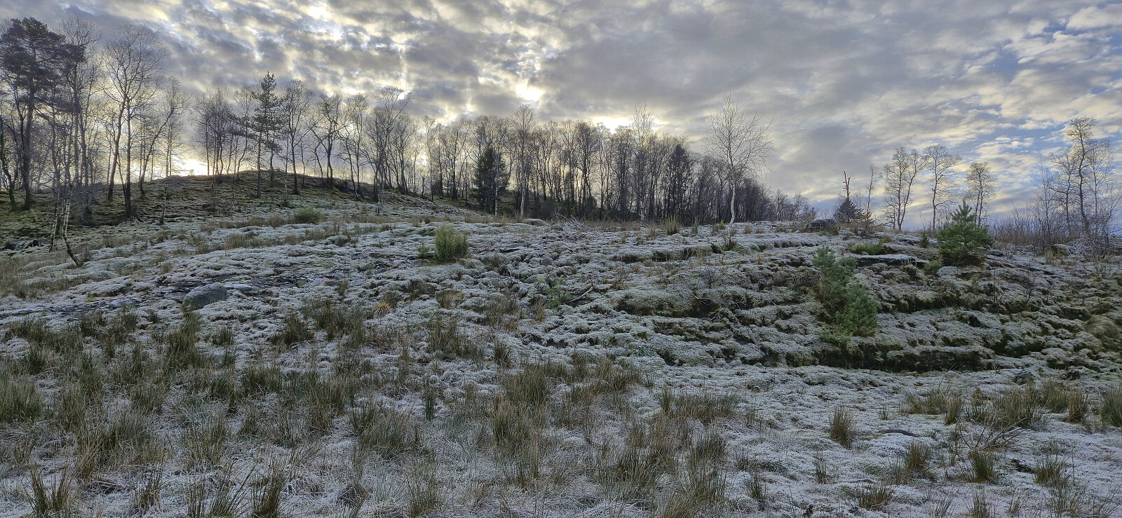
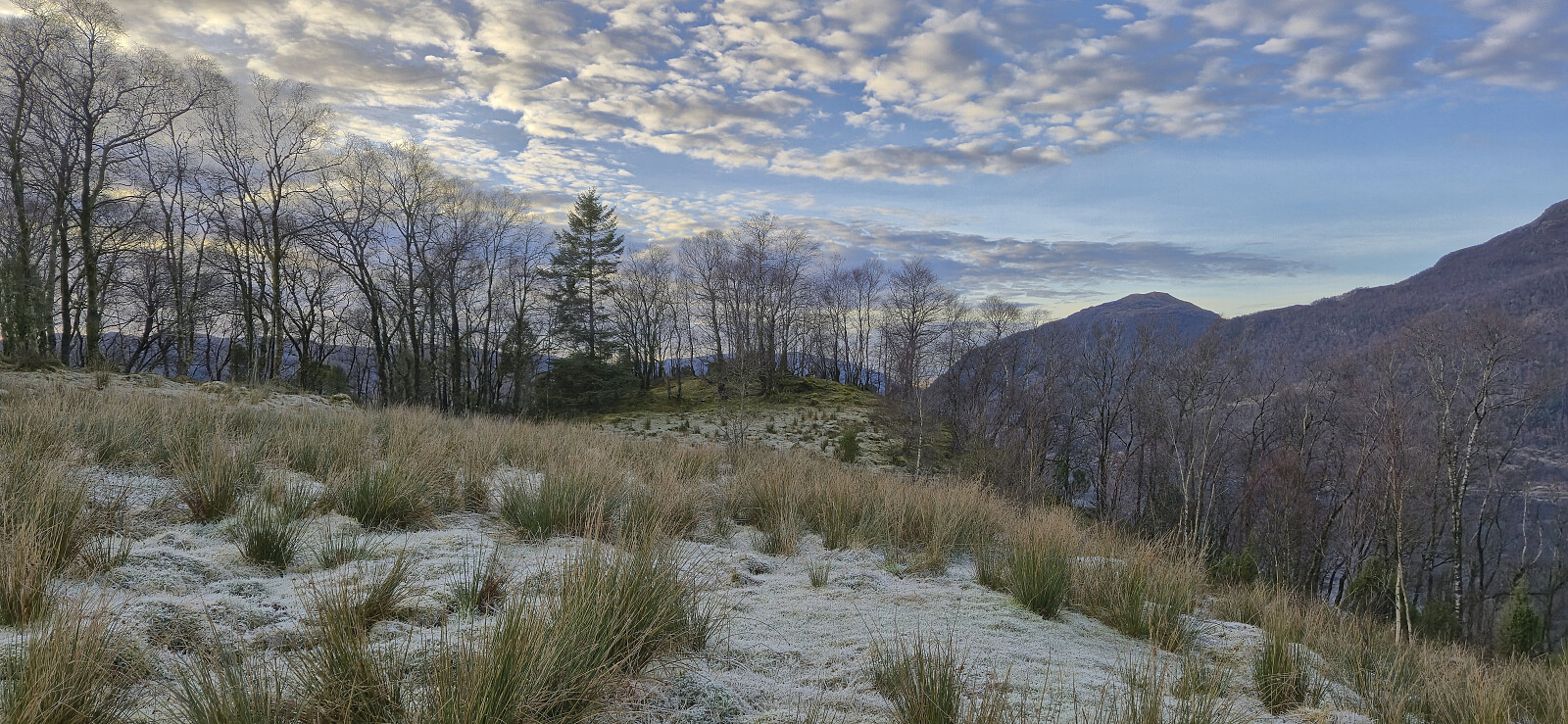
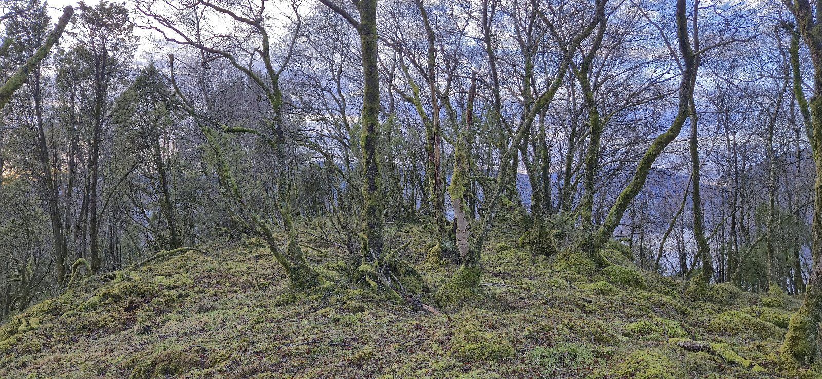
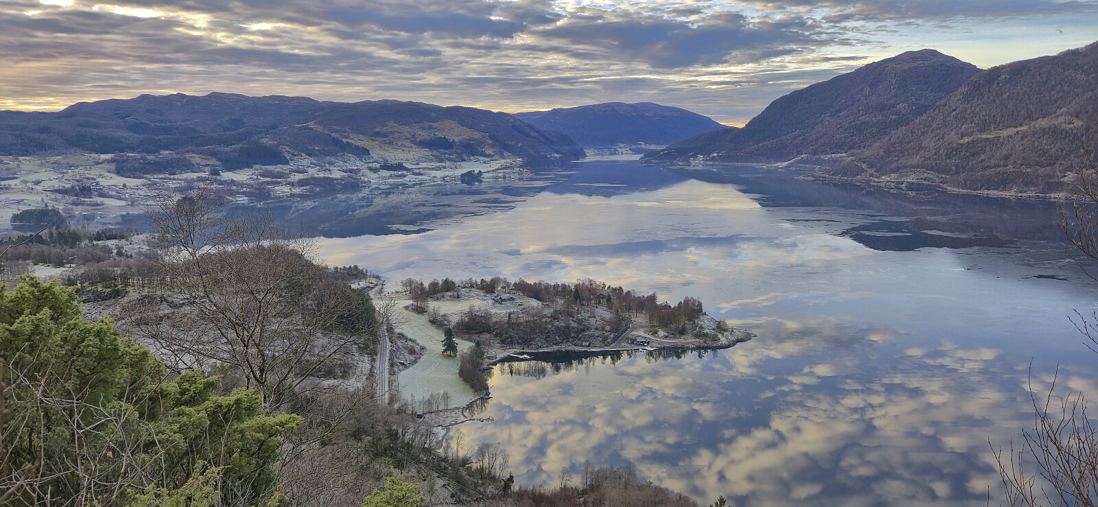
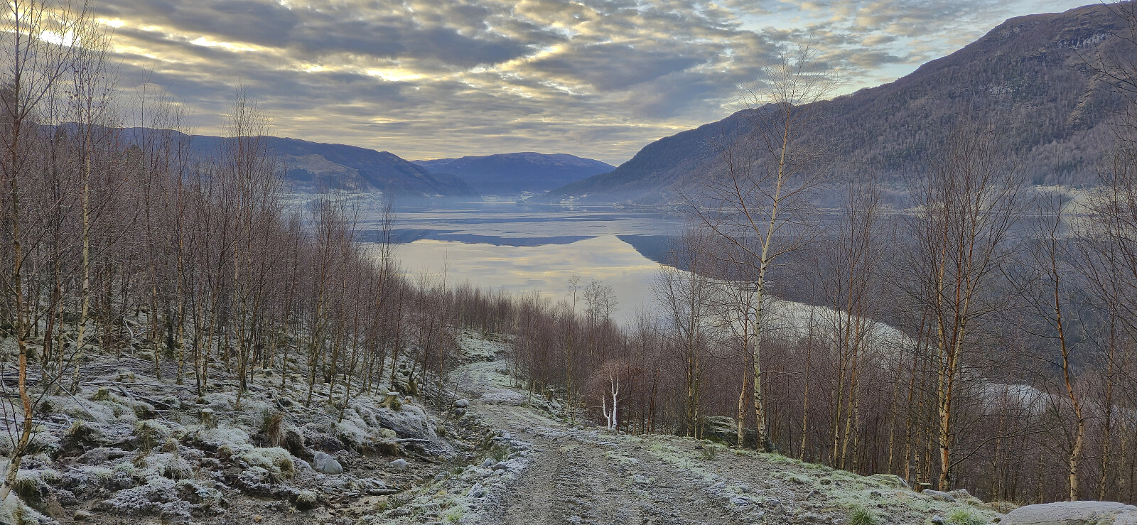
Very limited views from the flat summit. I therefore made a short detour to the lower hill to the north. Here I came across a fallen trig marker and could enjoy excellent views across Etnefjorden. I descended along more or less the same route, although making a bit more use of the available tractor roads, before returning via the paved roads to the bus stop at Madsgård and getting ready for the second five-hour bus ride of the day, with only 40 minutes at Aksdal this time around.
In summary, Matskårhaugane is probably not a hill that most hikers will feel the need to ascend, however it can be done quite easily. At least if doing it during a time of the year when the cattle are not blocking your way. With this ascent, I have visited at least one new peak (81 new in total) on the Hordaland ≥ 100m pf. list each month in 2025!
| Start date | 22.12.2025 13:18 (UTC+01:00) |
| End date | 22.12.2025 14:35 (UTC+01:00) |
| Total Time | 1h 18min |
| Moving Time | 1h 16min |
| Stopped Time | 0h 1min |
| Overall Average | 3.6km/h |
| Moving Average | 3.6km/h |
| Distance | 4.7km |
| Vertical meters | 219m |

User comments
Møtte bonden på turen
Written by Trollfare 28.12.2025 18:41Jeg gikk gjennom Madsgården da jeg besteg toppen og møtte bonden. Han nevnte at turgåere har lov å gå gjennom tunet for å komme opp til åsen, via porten og traktorveien. Tenkte dette er greit å nevne til de som skal bestige den senere.
Møtte kyr på veien opp, skjønner at flere ønsker å unngå å møte på de. De var snille med meg ihvertfall
Re: Møtte bonden på turen
Written by hbar 28.12.2025 20:10Takk for nyttig info! Veldig greit å vite for framtidige besøkende! Pleier jo stort sett ikke å være noe problem, men etter fem timer på reise fra Bergen tok jeg ikke sjansen på at Matskårhaugane skulle være unntaket fra reglen... :)