Austdalsnuten (07.09.2025)

| Start point | Austdalsnutvatnet (1,057m) |
|---|---|
| Endpoint | Grasbotntjørni (1,111m) |
| Characteristic | Hillwalk |
| Duration | 8h 46min |
| Distance | 17.5km |
| Vertical meters | 908m |
| GPS |
|
| Ascents | Austdalsnuten (1,327m) | 07.09.2025 12:42 |
|---|---|---|
| Langvasshaugane (1,298m) | 07.09.2025 15:41 | |
| Visits of other PBEs | Grasbotntjørni p-plass (1,110m) | 07.09.2025 18:26 |
Austdalsnuten
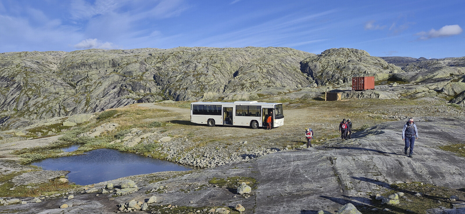
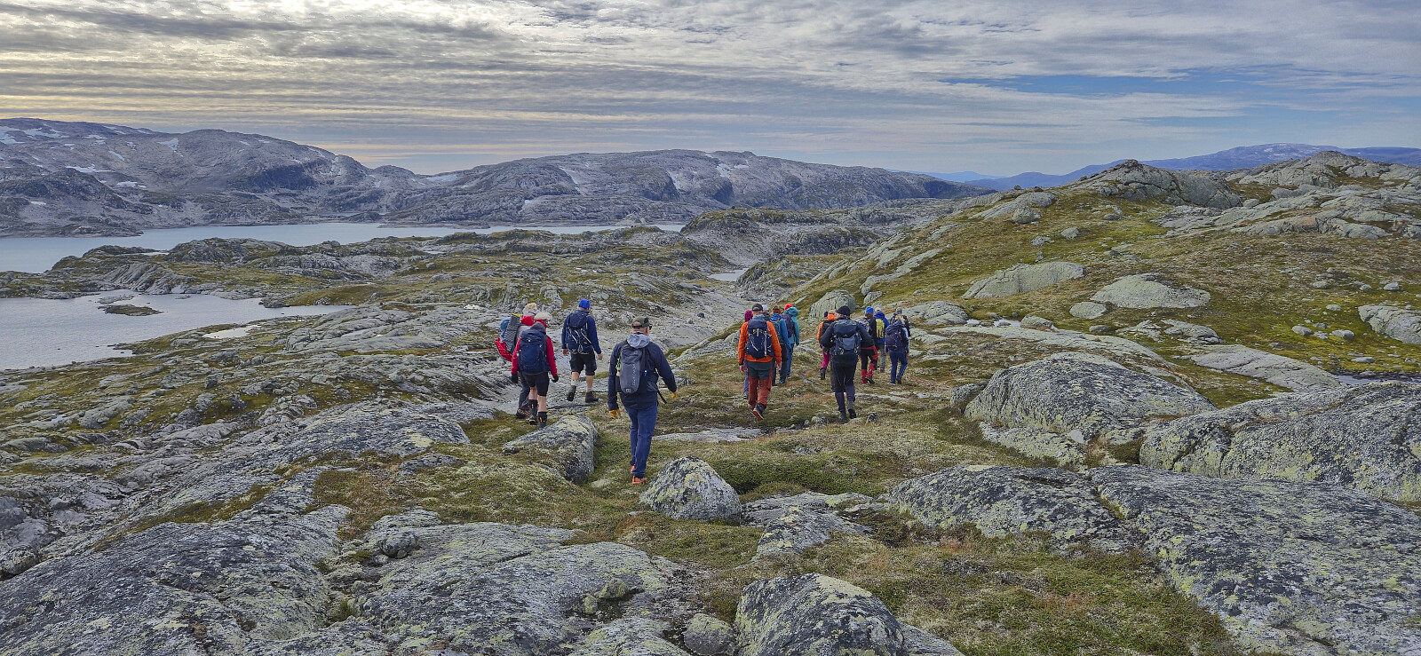
Sunday hike to Austdalsnuten organized by Voss Utferdslag. After catching a very early train from Bergen, I caught up with the other hikers at Voss shortly before 08:00 for the roughly 1.5-hour bus ride to Austdalsvatnet. When getting off the bus we were at over 1000 meters above sea level and only 1.3 km from the summit, but given the terrain, including Austdalsvatnet blocking our way, we had to do a rather long detour before starting the real ascent from the south.
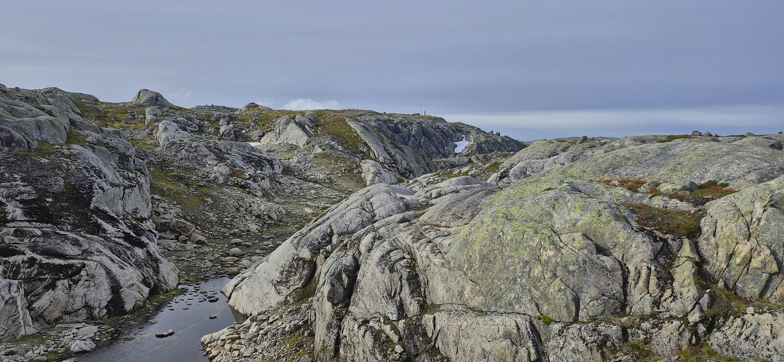
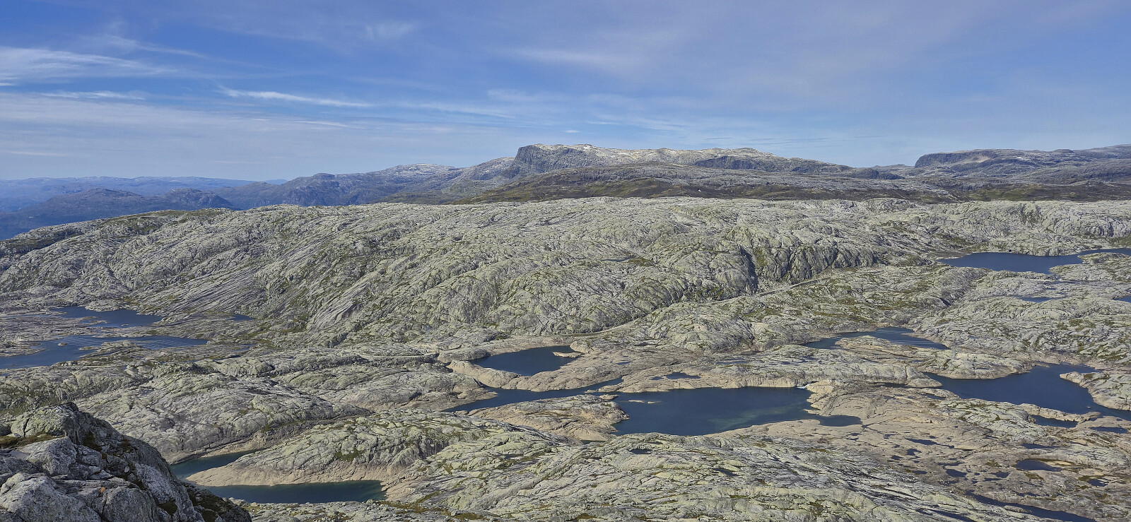
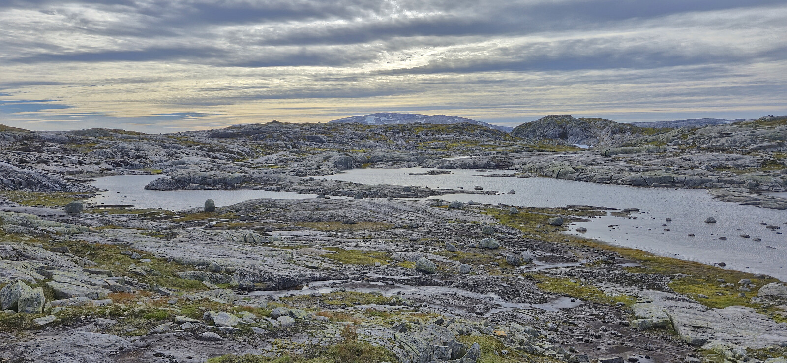
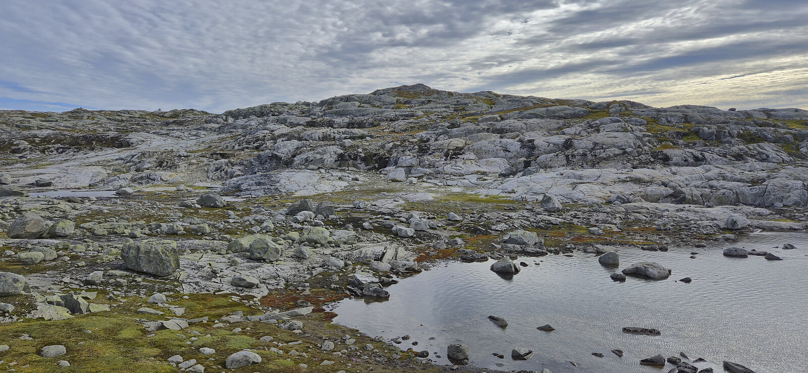
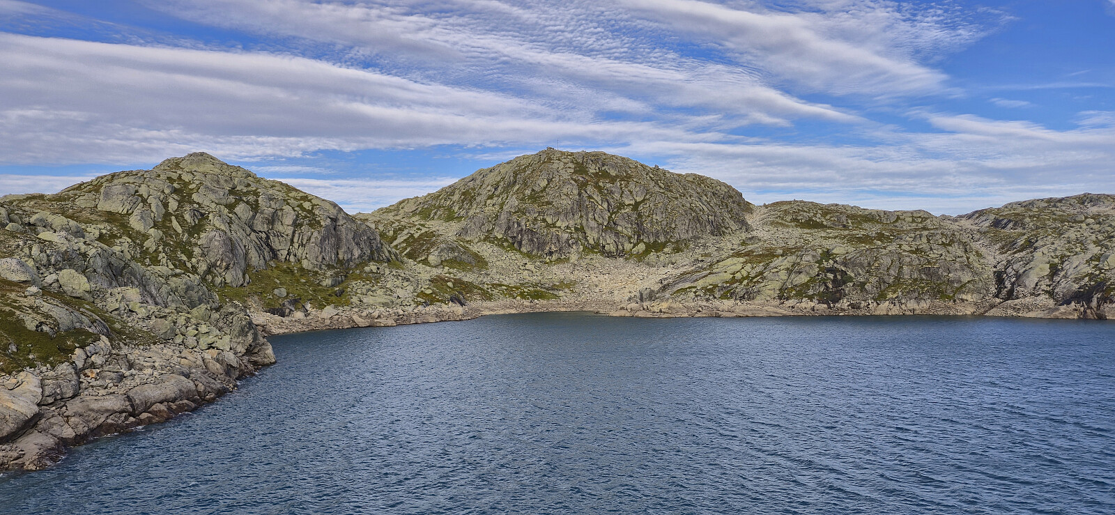
On our way to the smaller lakes south of Austdalsnuten we partly followed a route used by the local farmers when transporting their sheep to their summer grazing areas. There were even small cairns showing the way but these were not always easy to spot and we thus made good use of our local guide. The clue seemed to be to be patient and ascend high enough before turning east. Note that the terrain consists of lots of exposed granite at an angle, hence it may not be the easiest to traverse if wet or icy.
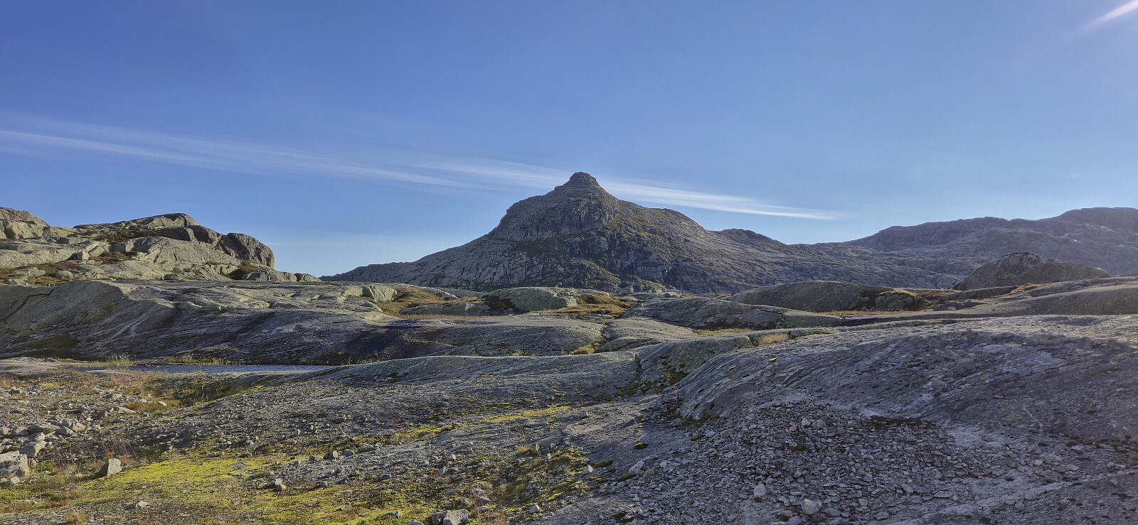
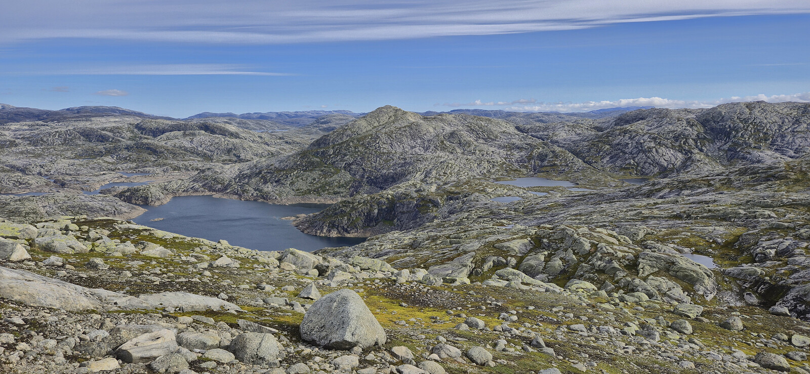
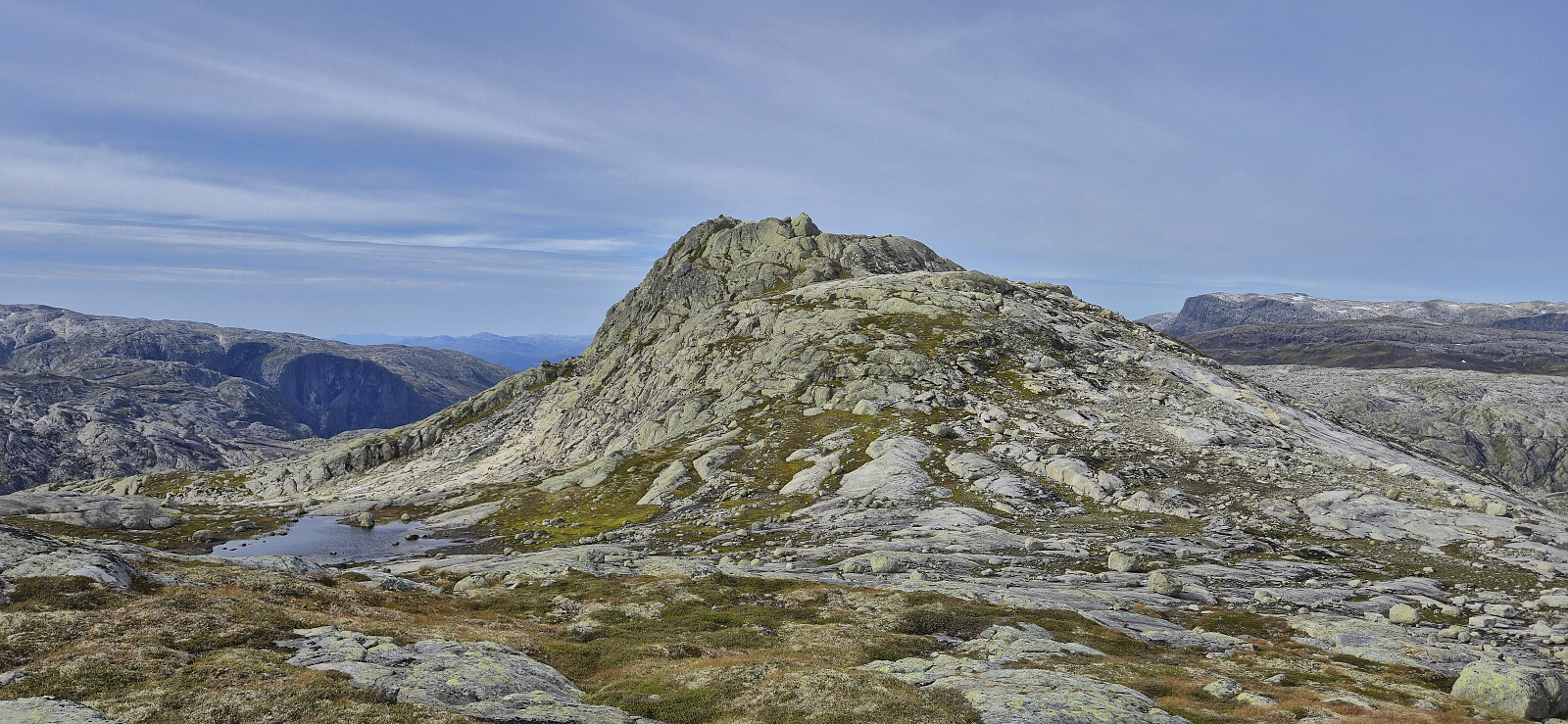
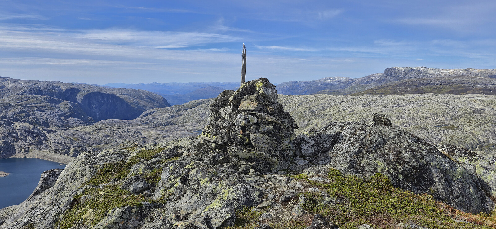
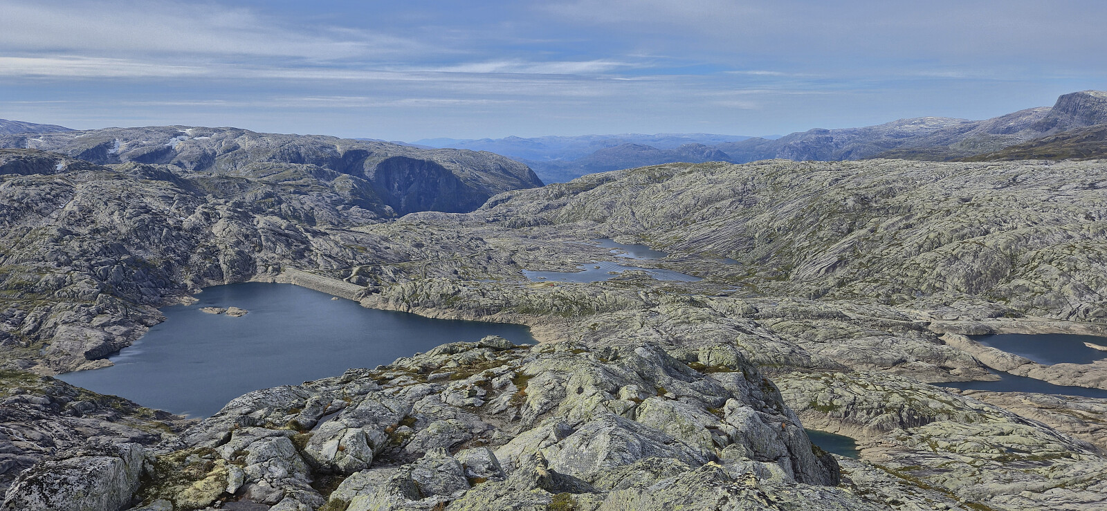
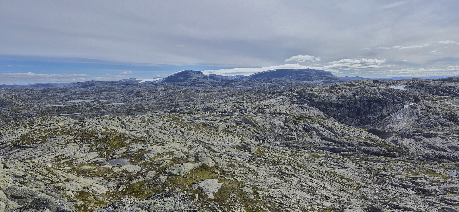
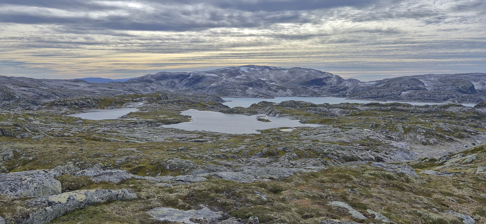
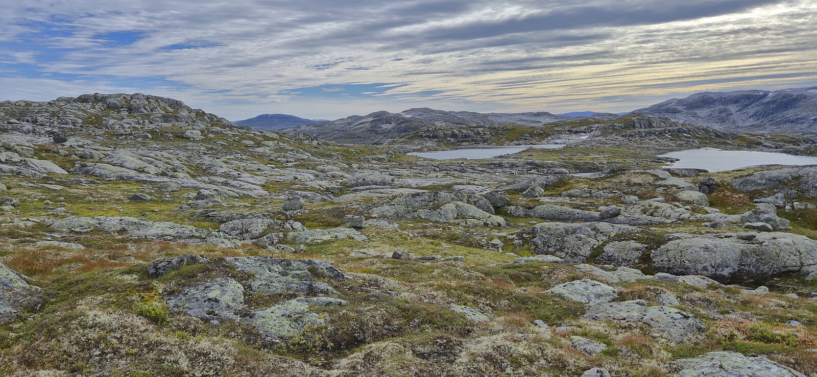
After a break south of the summit we could finally start the real ascent towards our main goal, once more following a route that was not the most obvious if not having a guide, although there were a couple of cairns here as well, at least at the start. The summit clearly stood out from its surroundings and provided spectacular panoramic views, even though it is far from the highest peak in the greater area.
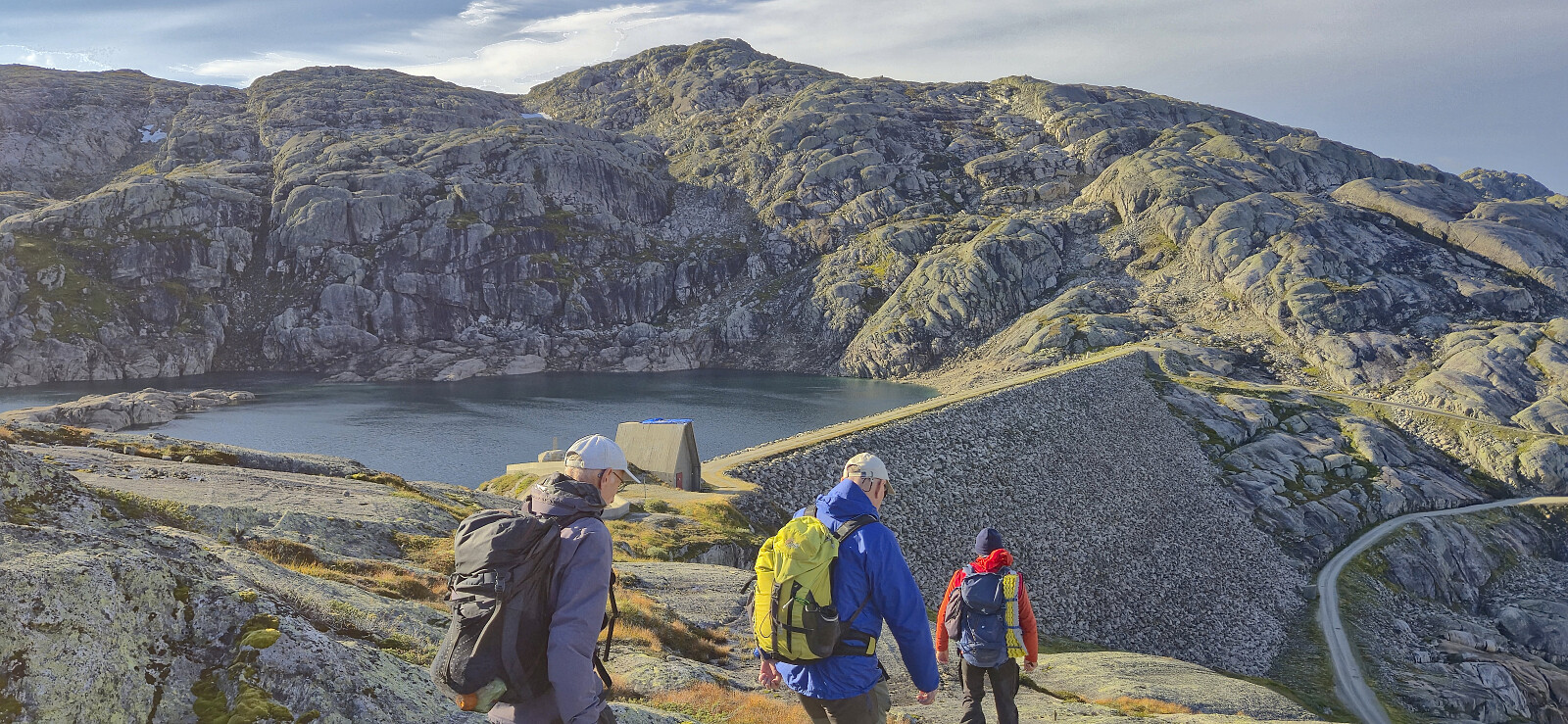
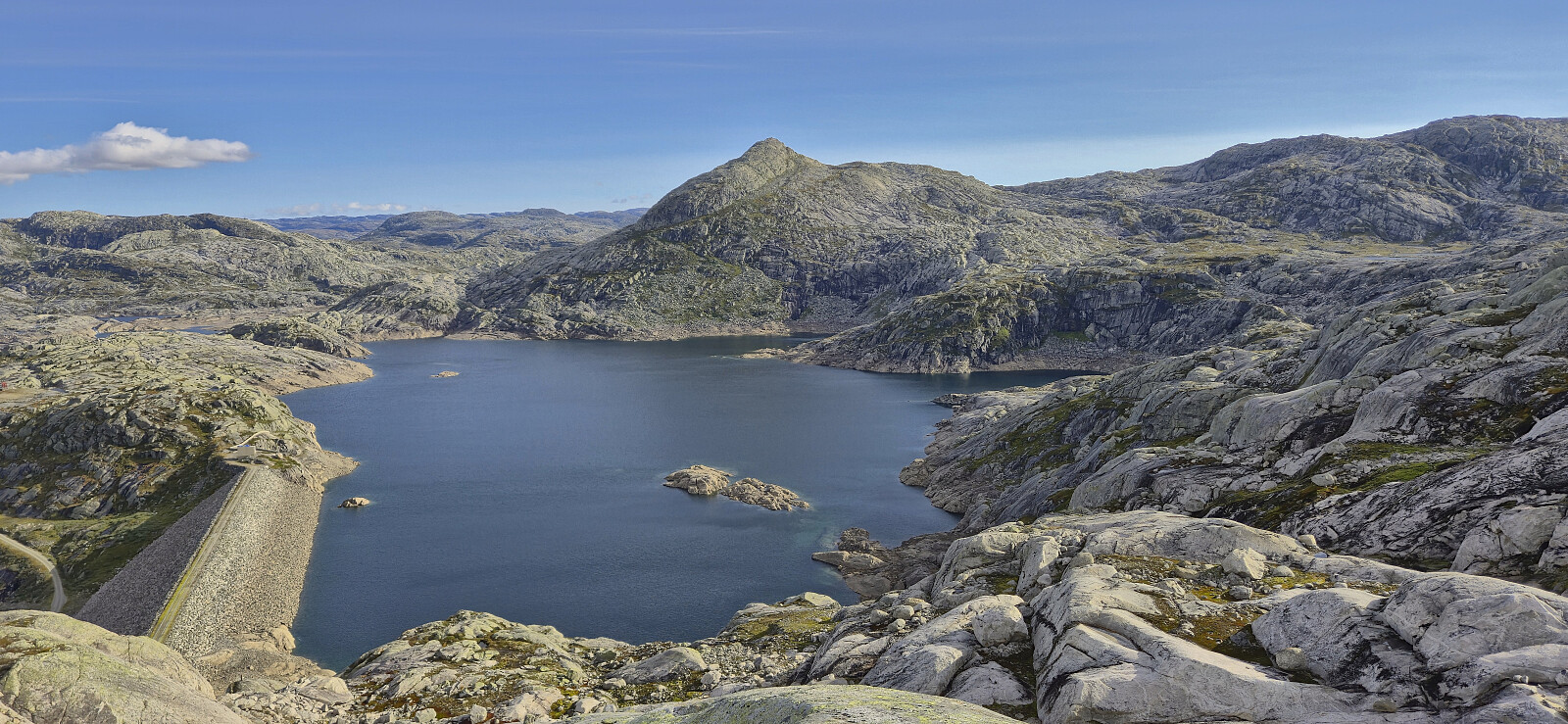
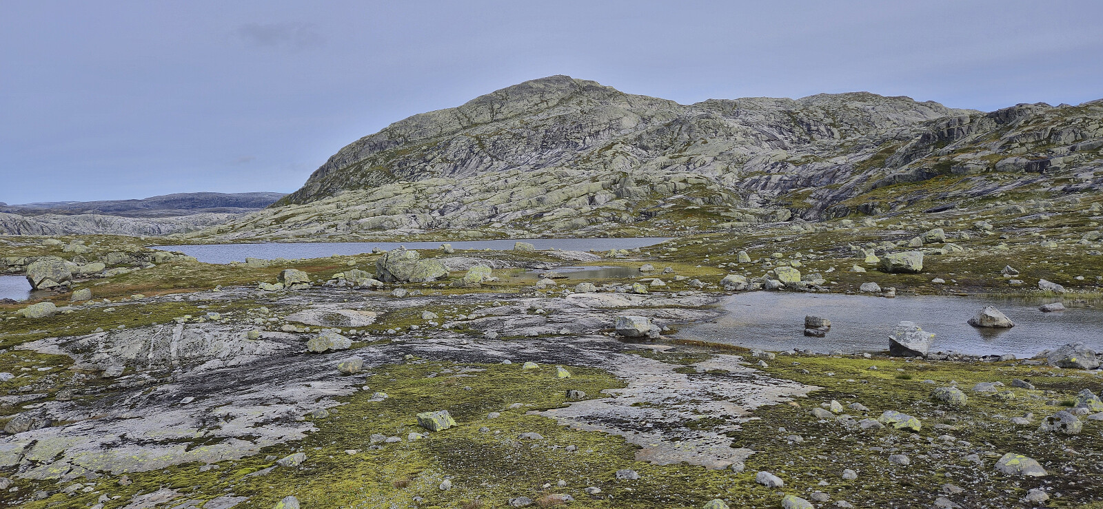
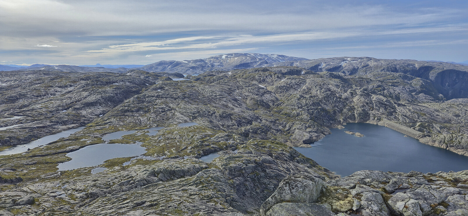
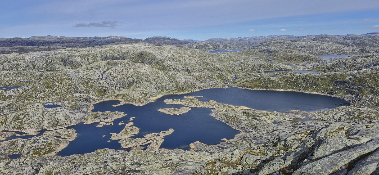
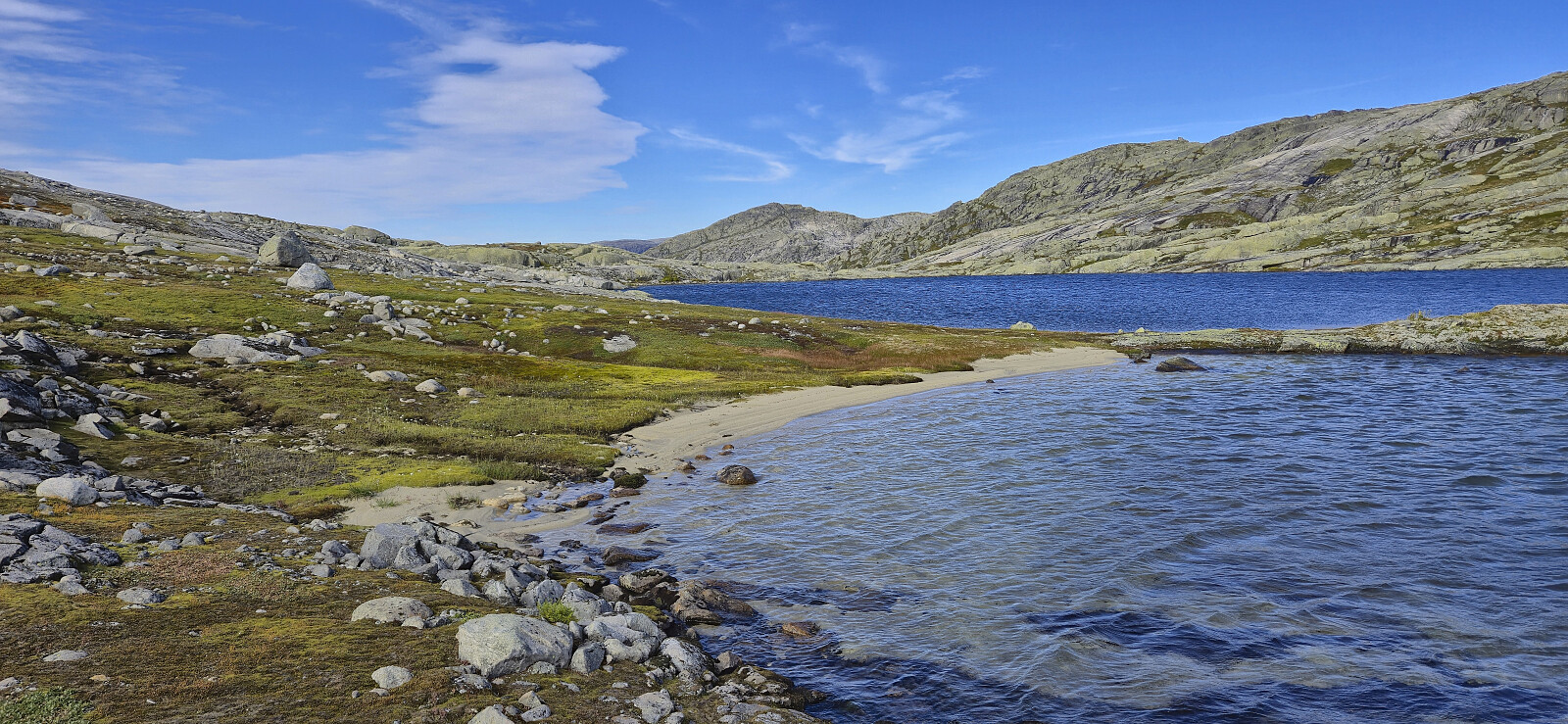
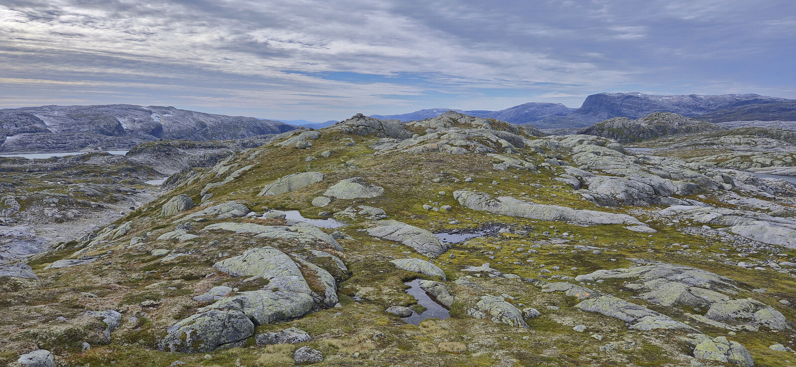
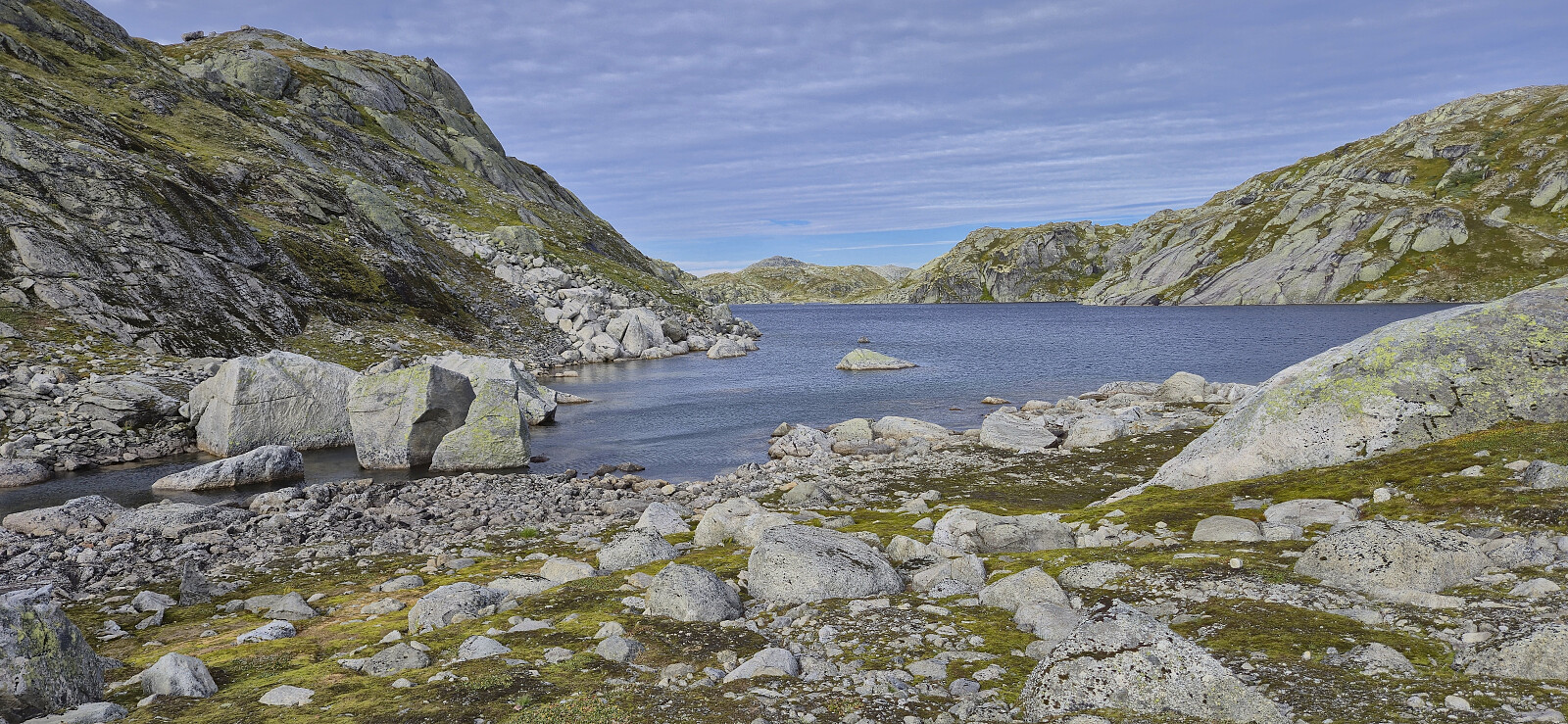
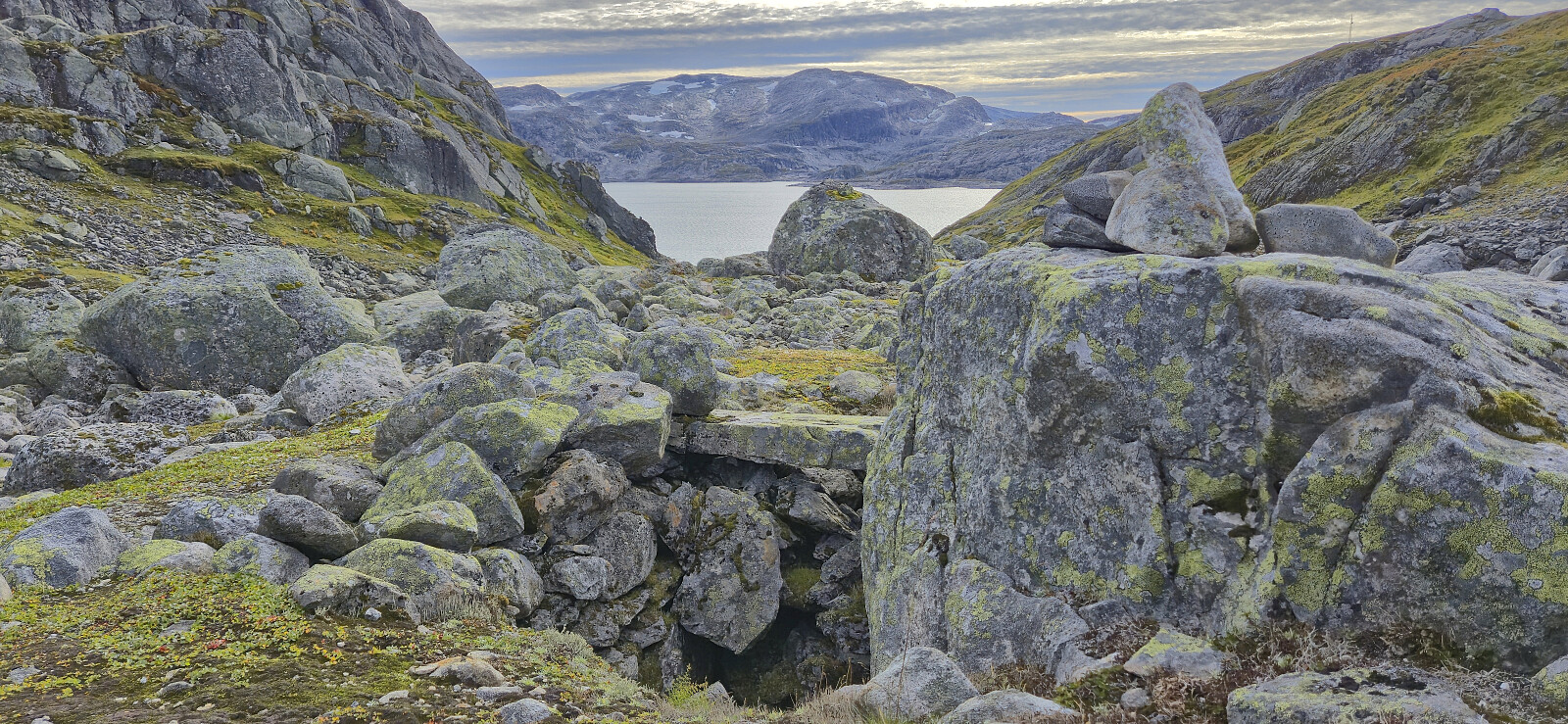
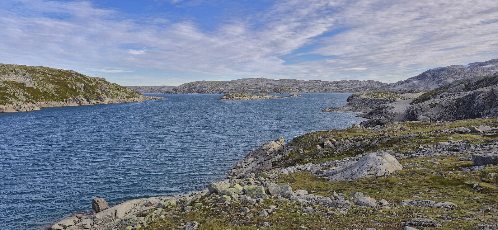
We descended the same way before ascending northeast towards the 1181 lake southwest of Ripsenuten, apparently called Storfisktjørnet. Here we had another break before ascending to the highest point of Langvasshaugane followed by a short descent to connect with a weak trail that rounded south of Olbogavatnet and onwards to the Langavatnet dam where the bus was supposed to pick us up. In order to not get too cold waiting for the bus we continued down the gravel road before getting on the bus near Grasbotntjørni.
All in all, a very nice hike in interesting terrain with spectacular views from the summit.
| Start date | 07.09.2025 09:40 (UTC+01:00 DST) |
| End date | 07.09.2025 18:26 (UTC+01:00 DST) |
| Total Time | 8h 46min |
| Moving Time | 5h 22min |
| Stopped Time | 3h 23min |
| Overall Average | 2.0km/h |
| Moving Average | 3.2km/h |
| Distance | 17.5km |
| Vertical meters | 907m |

User comments