Storegreggen, Simlenuten, Pyttafjellet and Gråeggi (02.07.2025)

| Start point | Dammen parkering (591m) |
|---|---|
| Endpoint | Dammen parkering (591m) |
| Characteristic | Hillwalk |
| Duration | 12h 17min |
| Distance | 28.0km |
| Vertical meters | 2,128m |
| GPS |
|
| Ascents | Storegreggen (1,092m) | 02.07.2025 10:49 |
|---|---|---|
| Simlenuten (1,050m) | 02.07.2025 15:05 | |
| Pyttafjellet (1,131m) | 02.07.2025 17:46 | |
| Gråeggi (1,179m) | 02.07.2025 19:10 | |
| Visits of other PBEs | Dammen parkering (591m) | 02.07.2025 09:12 |
Storegreggen, Simlenuten, Pyttafjellet and Gråeggi


When a single day of great weather showed up in the middle of the week, with what seemed like a rather wet weekend to come, I decided to take the day off and easily managed to convince Endre to do the same. He picked me up at my place shortly after seven and together we drove towards Ålvik to have a go at a hike we had been talking about for some time, namely a single hike that included all of the four summits neatly lined up east of Fyksesund.
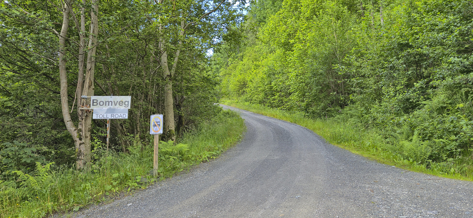
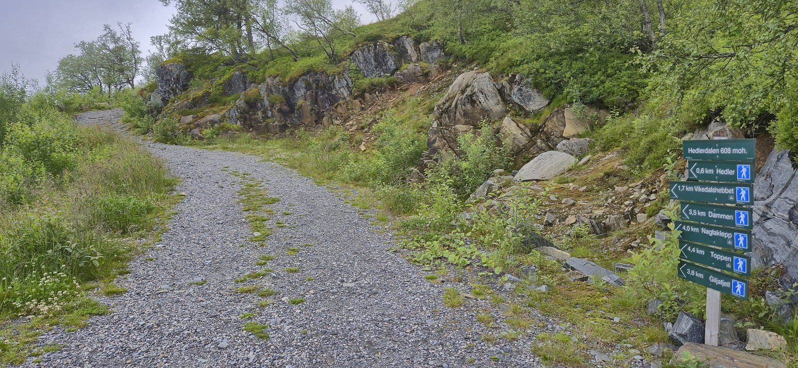
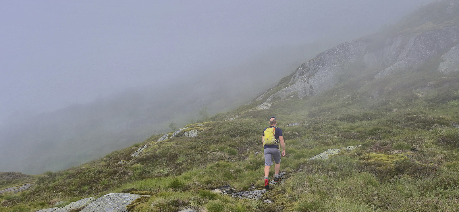
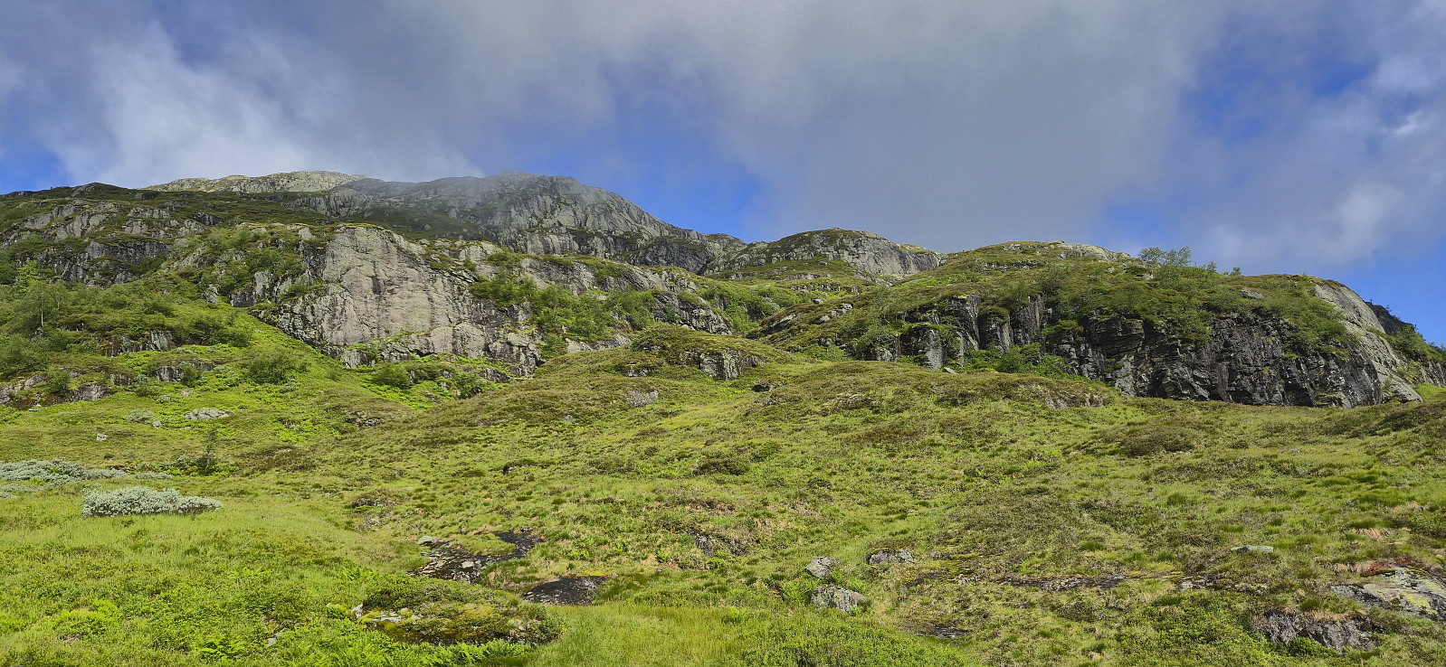
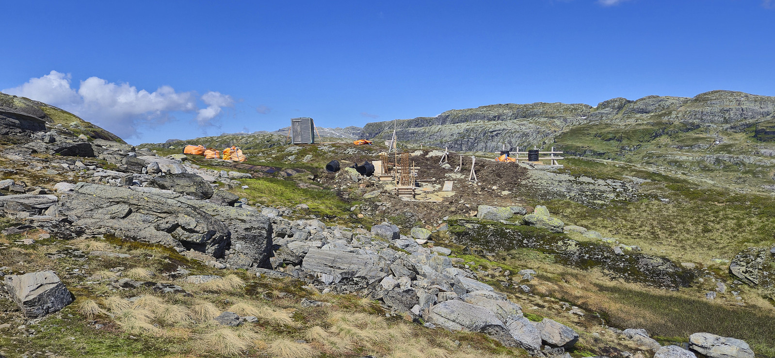
After paying the 60 kr for the toll road we continued up to the parking lot at the end of the winding gravel road, which to our surprise was almost full but thankfully had room for one more car. The great weather we had been hoping for was however late to the party and a low-hanging cloud cover hid most of the views as we left the parking lot. The night before I had outlined a possible route covering all of the four peaks and we ended up following it pretty closely (with the one minor exception that I will come back to later).
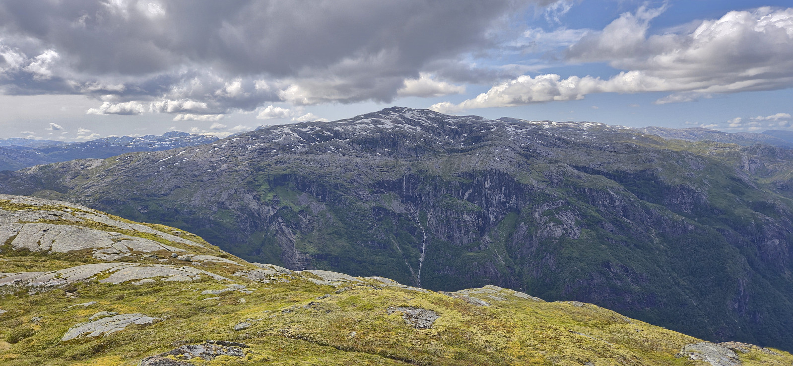
First up was Storegreggen. Here the planned route happened to more or less follow a partially marked trail, although rather weak, that took us relatively easily from the parking lot via Fjellbrekkene to the valley east of Storegreggen. After crossing the stream we navigated our way towards the summit via a route that did not provide any real challenges.
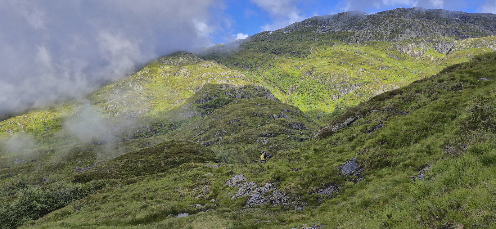
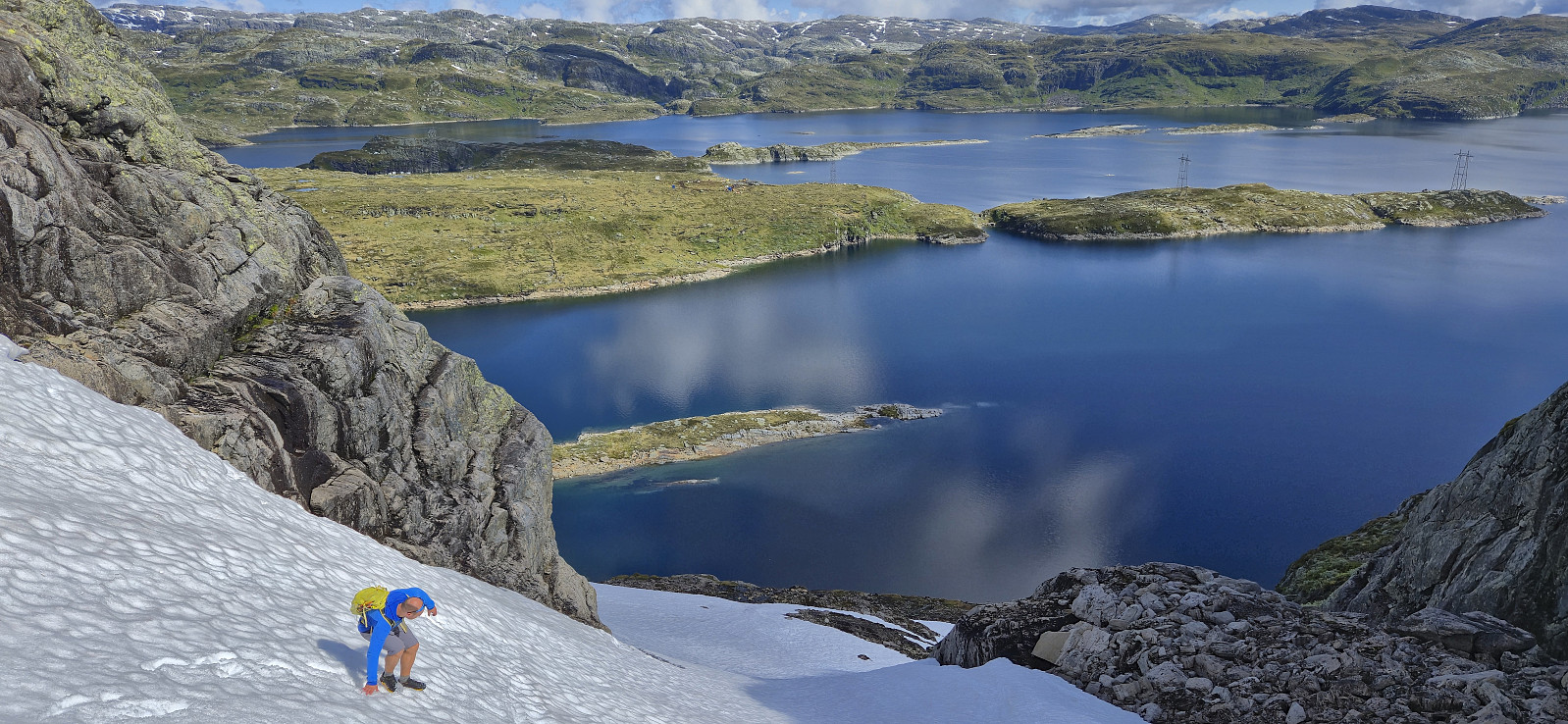
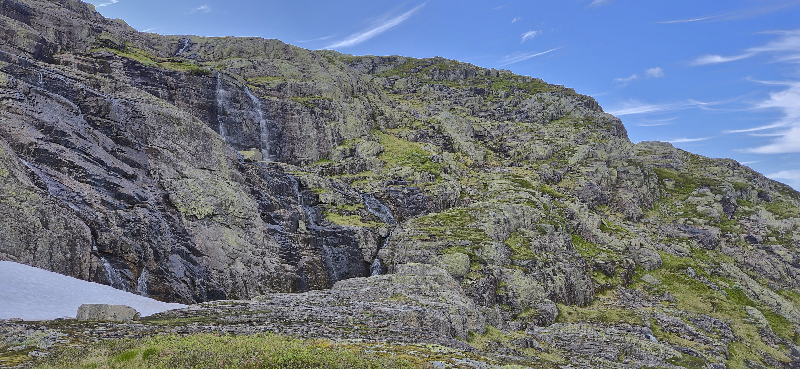
After a short break at the summit, with the visibility gradually improving, we headed north to Bjølsegrøvvatnet. This included a steep snow-covered descent that may not be possible under different snow conditions. There was especially one section roughly halfway down that would have been much more complicated if the snow had been more densely packed.
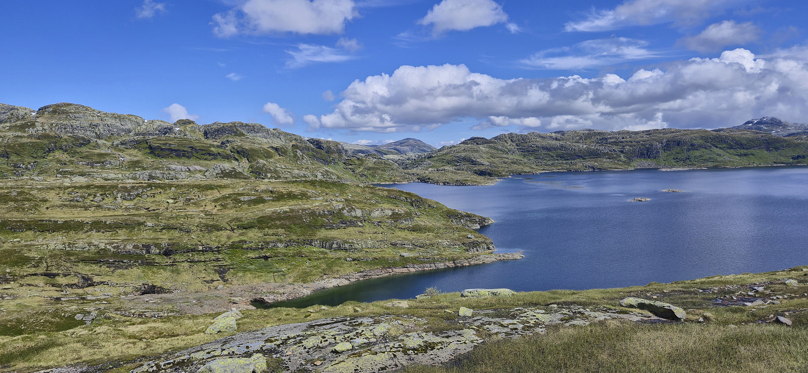
Upon reaching the lake we headed west to connect with the trail coming from Aurdalen and then proceeded to follow it north and west on our way to Simlenuten. This was overall the easiest part of the hike and the only time we followed something close to a proper trail. The only downside was the almost constant helicopter noise from the building of a new overhead power line.
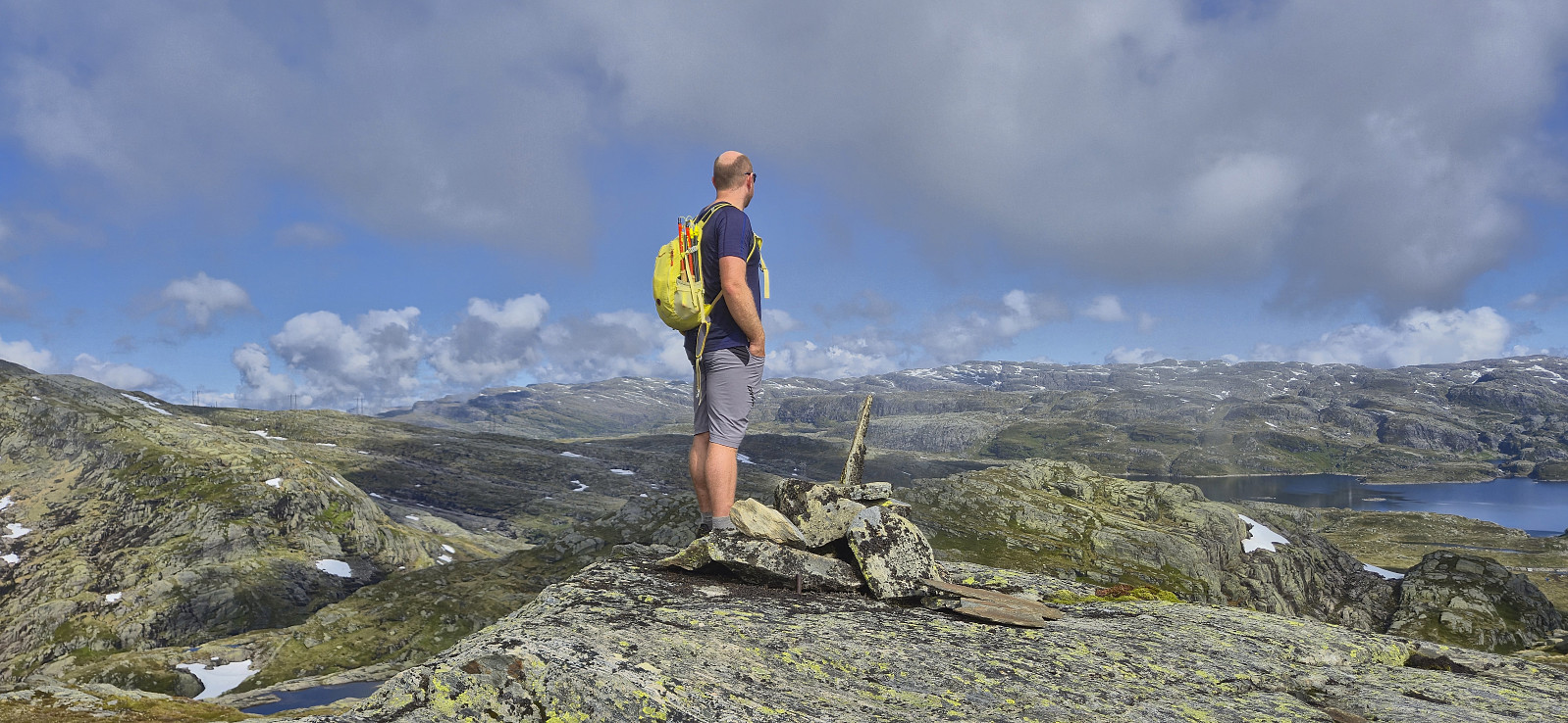
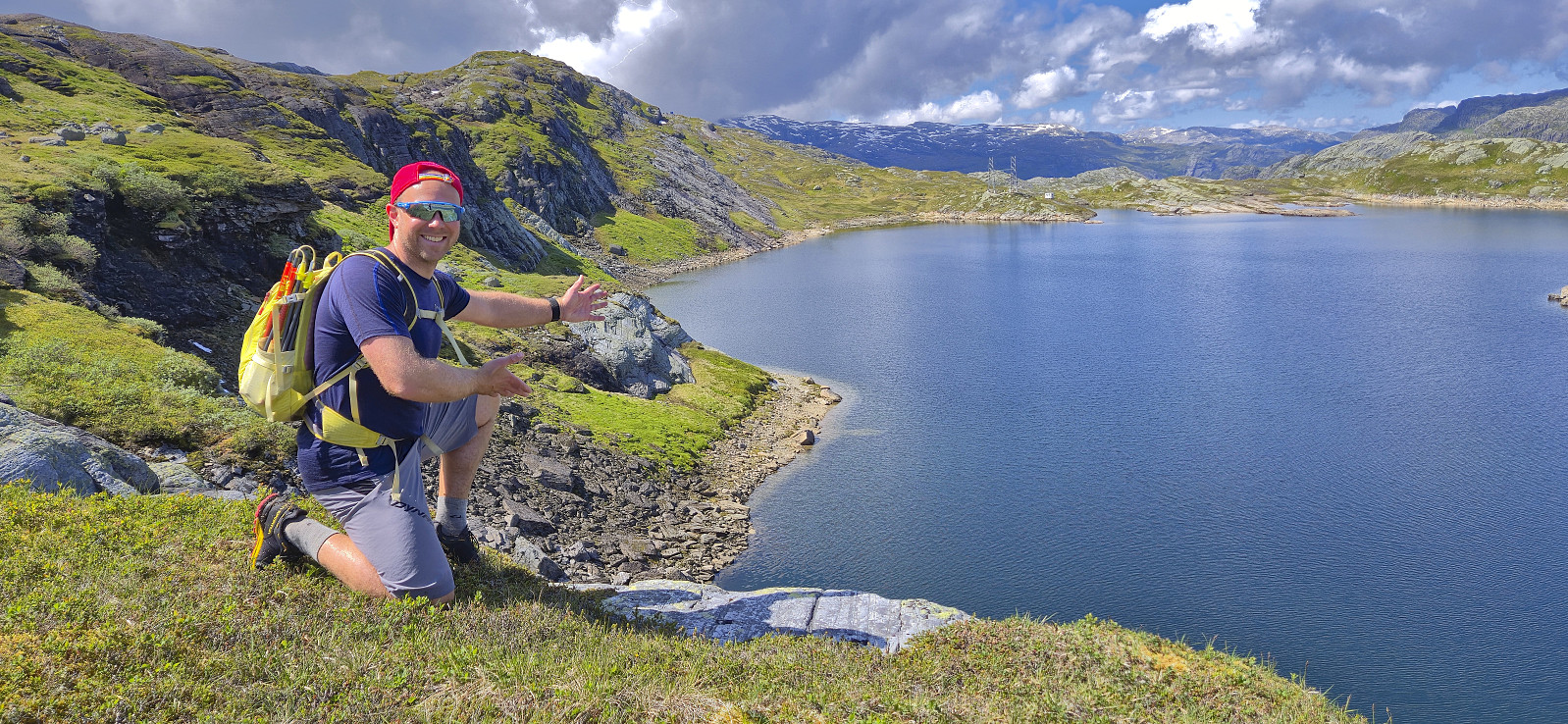
After walking around the unnamed 879-876 lake at the western end of Tjørnadalane, which only presented one short section requiring some easy scrambling (this may be different if the water level is higher though), we turned north and began our descent into Kastdalen. This was overall straightforward and there was even a weak trail/track. The following ascent to Simlenuten was also straightforward and we later arrived at the summit without any issues. Here I had a longer break while Endre had a go at finding a location in which he could look down at Fyksesund.
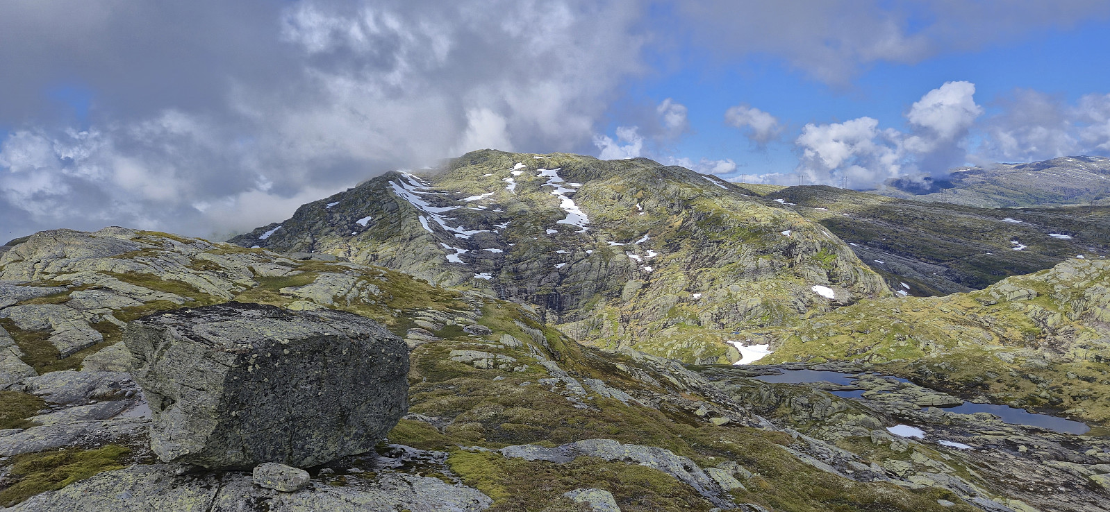
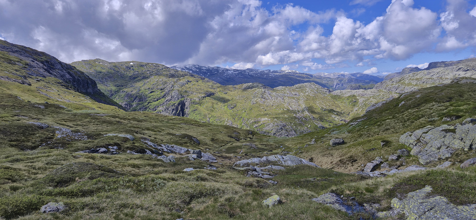
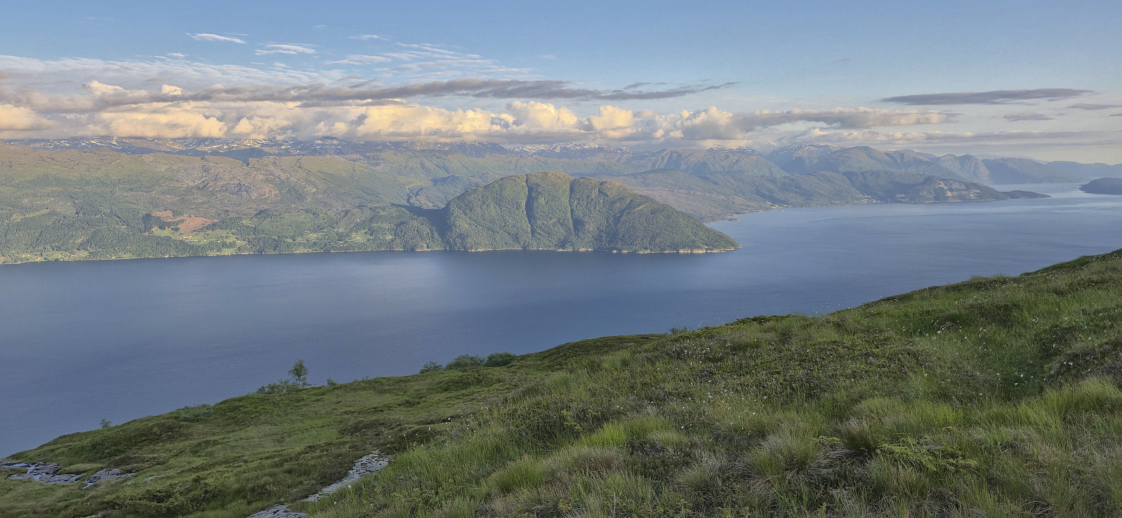
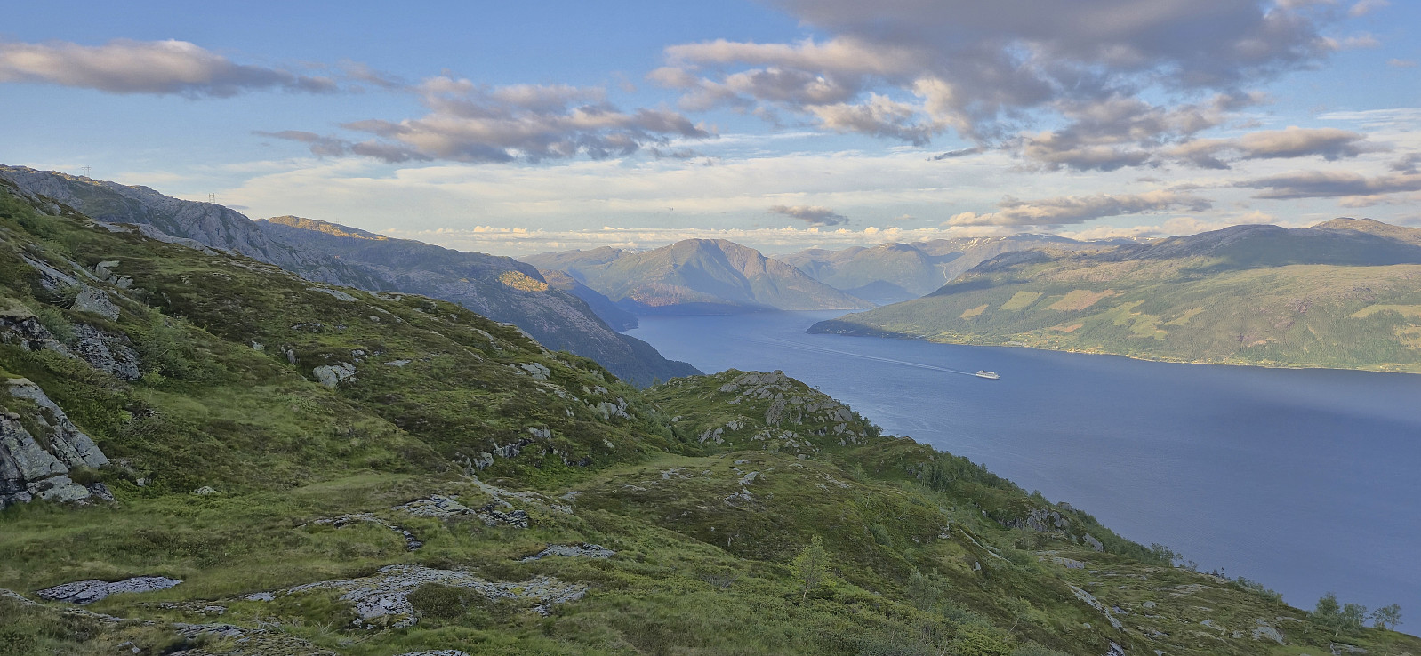
From Simlenuten we returned the same way and then started our ascent to Pyttafjellet. The terrain was hillier than expected, especially towards the end, but we had no real trouble getting to the summit. Here we could enjoy perhaps the best views of the day. After short break we turned northeast to round north of Svartepytten and its deep valley and then turned southeast towards Gråeggi, once more in very hilly terrain.
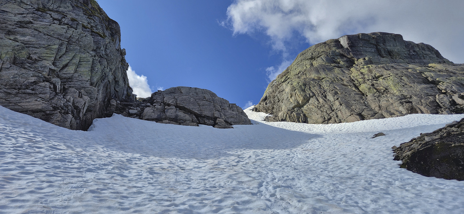
The planned shortcut to Gråeggi was based on the GPS-track from omogreid, however as his trip report did not contain any text I was not sure how easy it would be given that some of the steepest sections would be covered by snow. But in the end, the ascent was relatively straightforward and we easily made our way to the final summit of the day.
All that remained was then to get back to the parking lot. First we descended east from Gråeggi. This turned quite steep towards the end, but via a bit of careful pathfinding we made it into Aurdalen without any real issues. This is probably more difficult when the steeper areas are covered by snow though (something we had confirmed from Storegreggen was not the case today).
Safely down in Aurdalen we ascended towards Vetlegreggen. This is where we made the only real detour from the planned route. The reason being that Endre at this point was a bit ahead of me and before I could stop him had continued too far south in what turned out to be a short but unnecessary detour. When I caught up with him, we quickly corrected the mistake, as the terrain in any case forced us to do. The ridge was then simply followed back down to Bjølvo, easily navigating around the few steep sections towards the end, before basically following our ascent route via Fjellbrekkene back to the parking lot.
To conclude, even though this hike provides spectacular views, it is clearly not for everyone. However, if you enjoy long off-trail hikes in rugged terrain it may be just the hike for you. Takk for turen, Endre!


| Start date | 02.07.2025 09:12 (UTC+01:00 DST) |
| End date | 02.07.2025 21:29 (UTC+01:00 DST) |
| Total Time | 12h 17min |
| Moving Time | 10h 10min |
| Stopped Time | 2h 07min |
| Overall Average | 2.3km/h |
| Moving Average | 2.8km/h |
| Distance | 28.0km |
| Vertical meters | 2,128m |

Benutzerkommentare