Jomfruhaugen and Våganeset (15.03.2025)

| Start point | Åstveit (55m) |
|---|---|
| Endpoint | Åstveit (54m) |
| Characteristic | Hike |
| Duration | 1h 21min |
| Distance | 5.1km |
| Vertical meters | 183m |
| GPS |
|
| Ascents | Jomfruhaugen (54m) | 15.03.2025 |
|---|---|---|
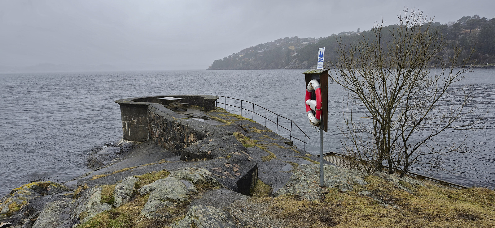
| Visits of other PBEs | Våganeset Signal / Lyskasterstilling (2m) | 15.03.2025 |
| Våganeset p-plass (20m) | 15.03.2025 |
Jomfruhaugen and Våganeset
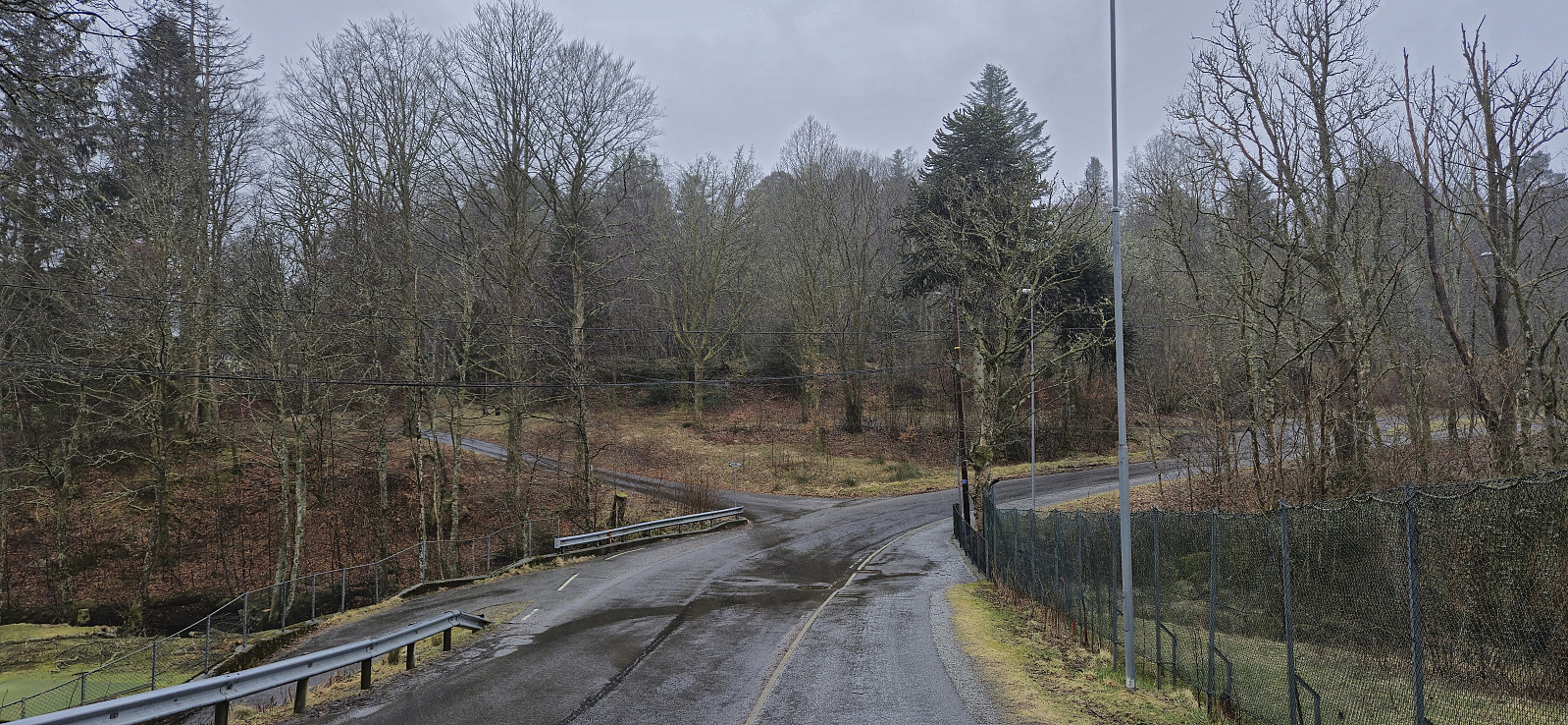
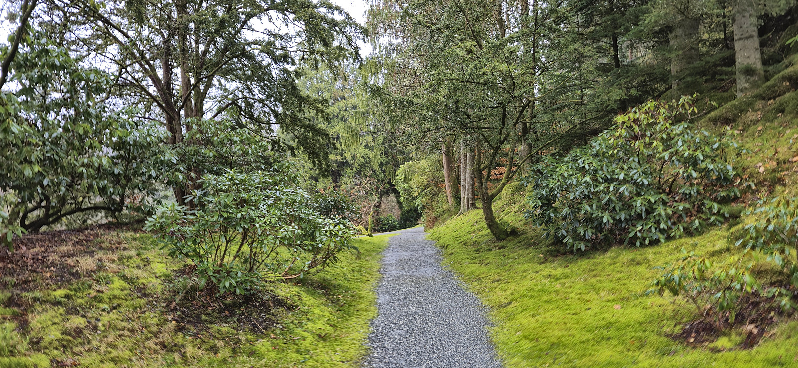
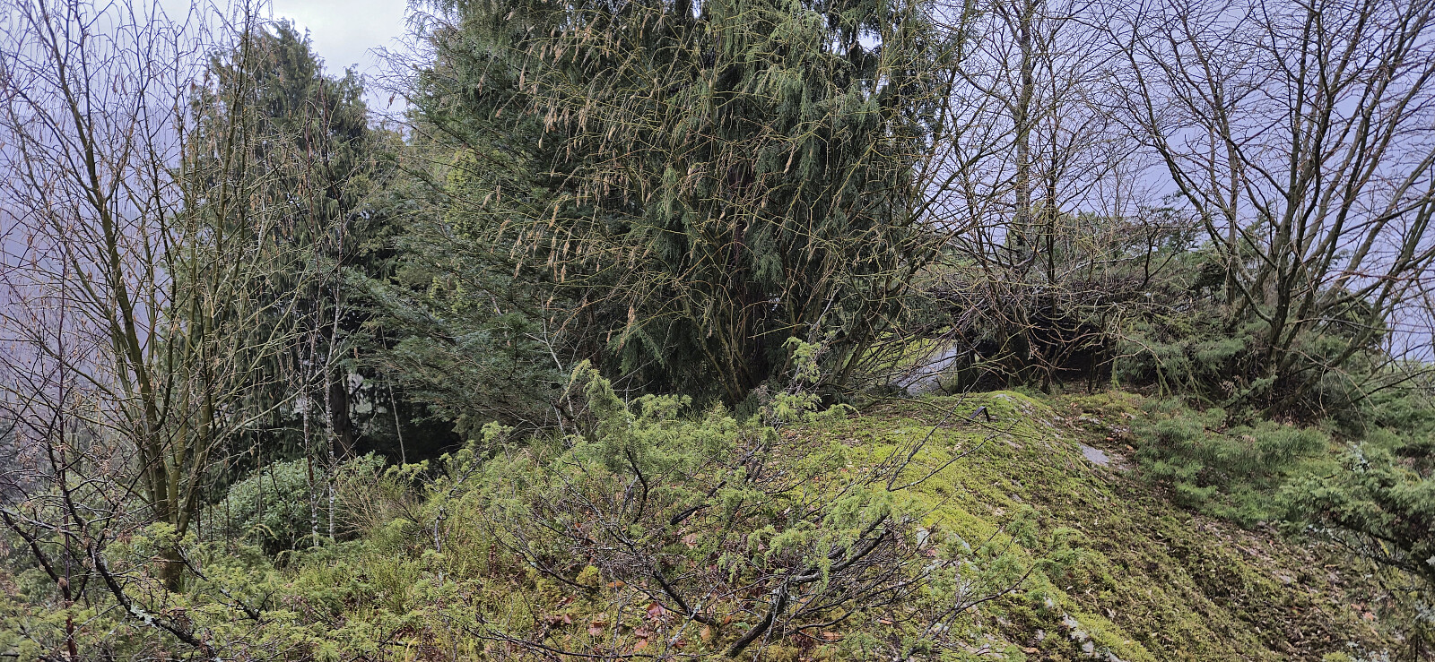
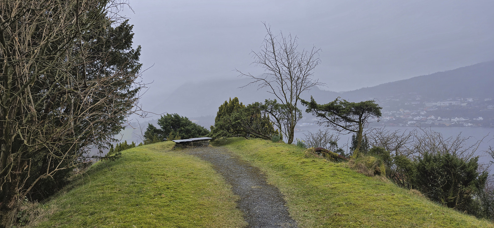
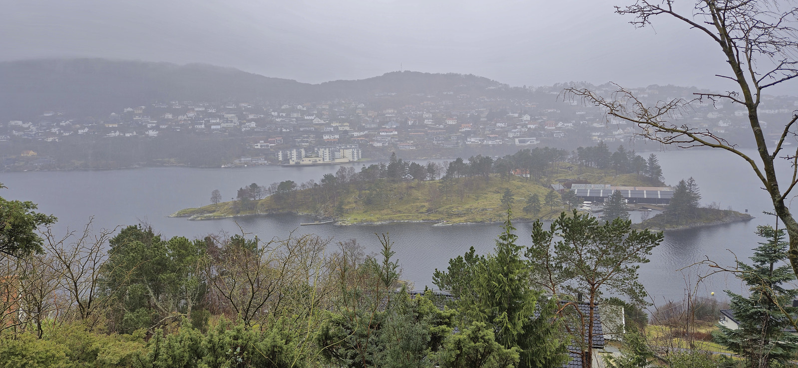
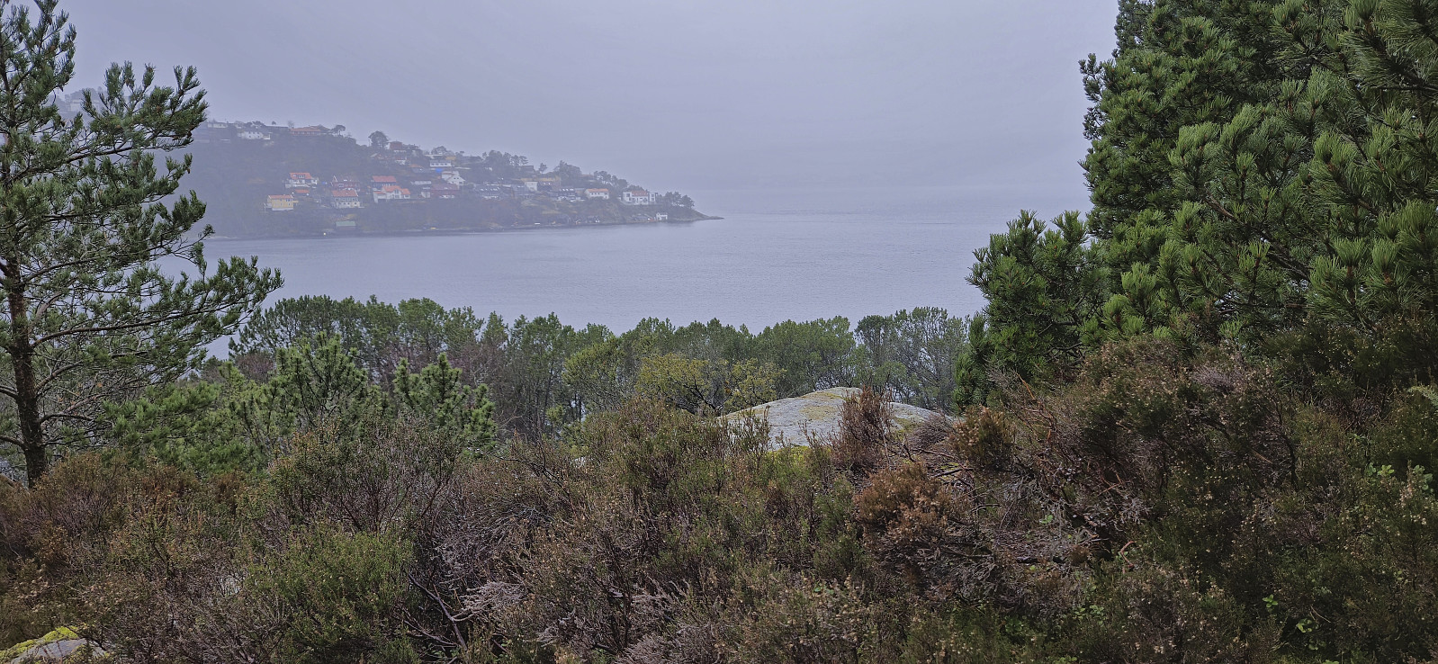
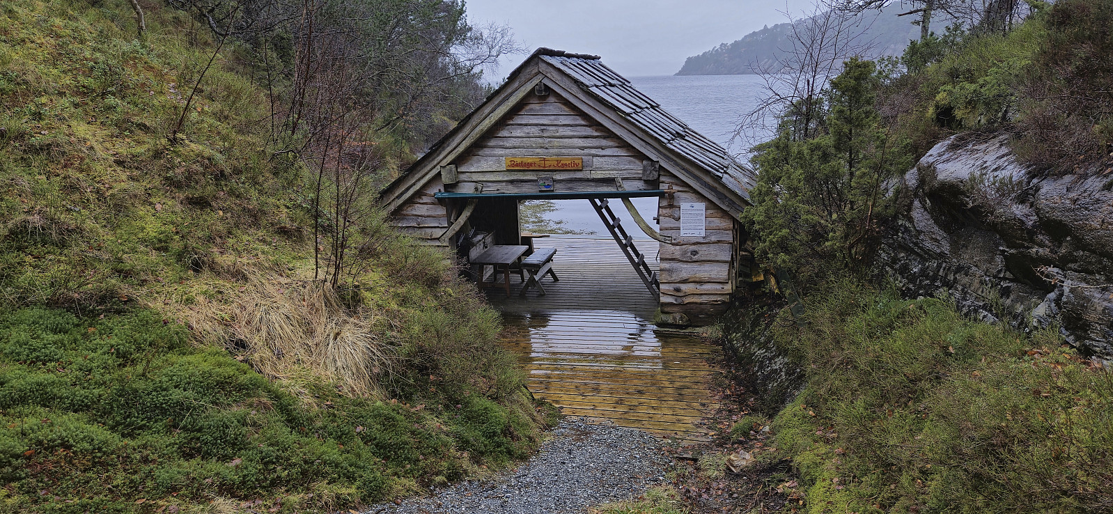
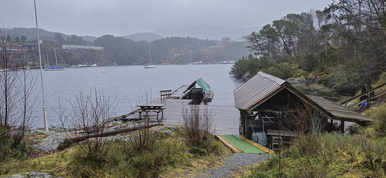
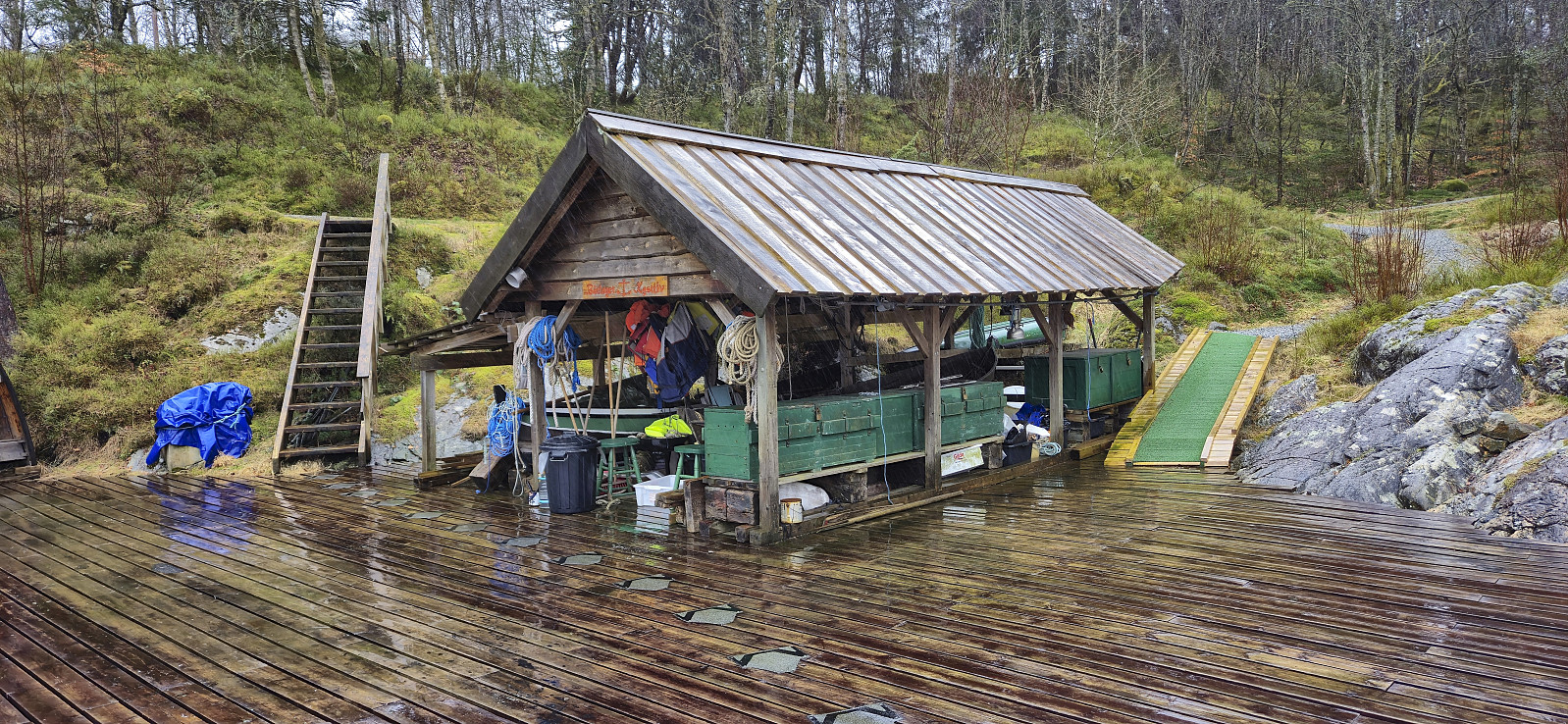
Short hike on a wet Saturday to visit a recent addition to the Alle topper i Bergen list, namely Jomfruhaugen. I started from the bus stop at Åstveit and from there followed the roads west towards the small hill. Given that Kjell's trip report indicated that the area was private, I went for a more direct off-trail ascent from the north. After a quick visit of the highest point, I headed northwest, first along the gravel path and then a short off-trail descent to reconnect with the road. To extend an otherwise very short hike, I also included a visit of Våganeset before returning to the bus stop at Åstveit.
| Start date | 15.03.2025 12:41 (UTC+01:00) |
| End date | 15.03.2025 14:03 (UTC+01:00) |
| Total Time | 1h 21min |
| Moving Time | 1h 19min |
| Stopped Time | 0h 1min |
| Overall Average | 3.8km/h |
| Moving Average | 3.8km/h |
| Distance | 5.1km |
| Vertical meters | 182m |

User comments