Nordvik - Krokeide - Fana kirke (06.01.2024)

| Start point | Nordvik (55m) |
|---|---|
| Endpoint | Fana kirke (39m) |
| Characteristic | Hillwalk |
| Duration | 4h 10min |
| Distance | 12.4km |
| Vertical meters | 464m |
| GPS |
|
| Ascents | Austneset (69m) | 06.01.2024 |
|---|---|---|
| Insta Ospevikfjellet (139m) | 06.01.2024 |
Nordvik - Krokeide - Fana kirke
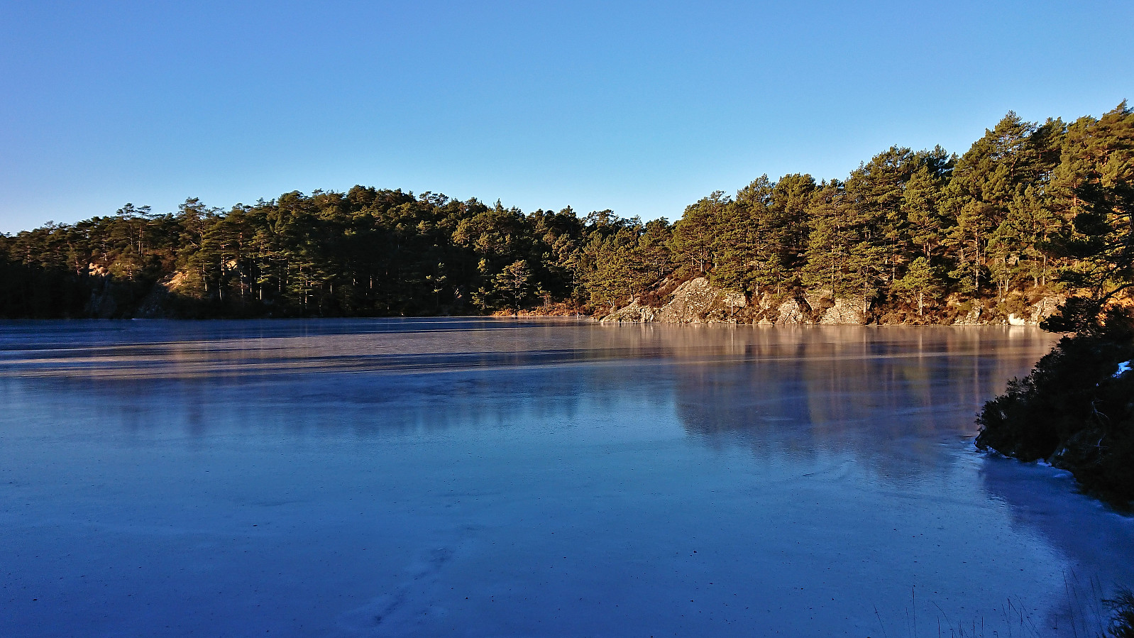
When my initial plan of going skiing was abandoned due to temperatures down to minus 30 for the considered summits, I decided to instead go for a walk below the snow and visit two minor summits on the Alle topper i Bergen list.
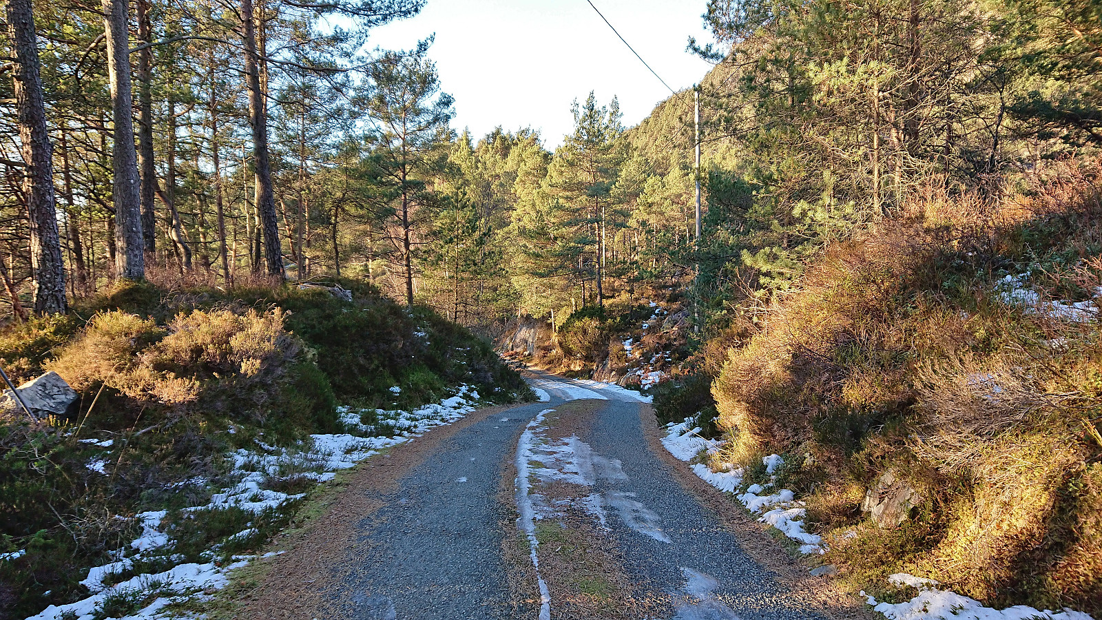
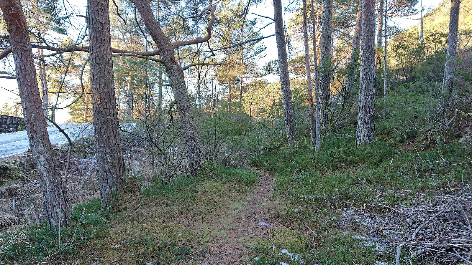
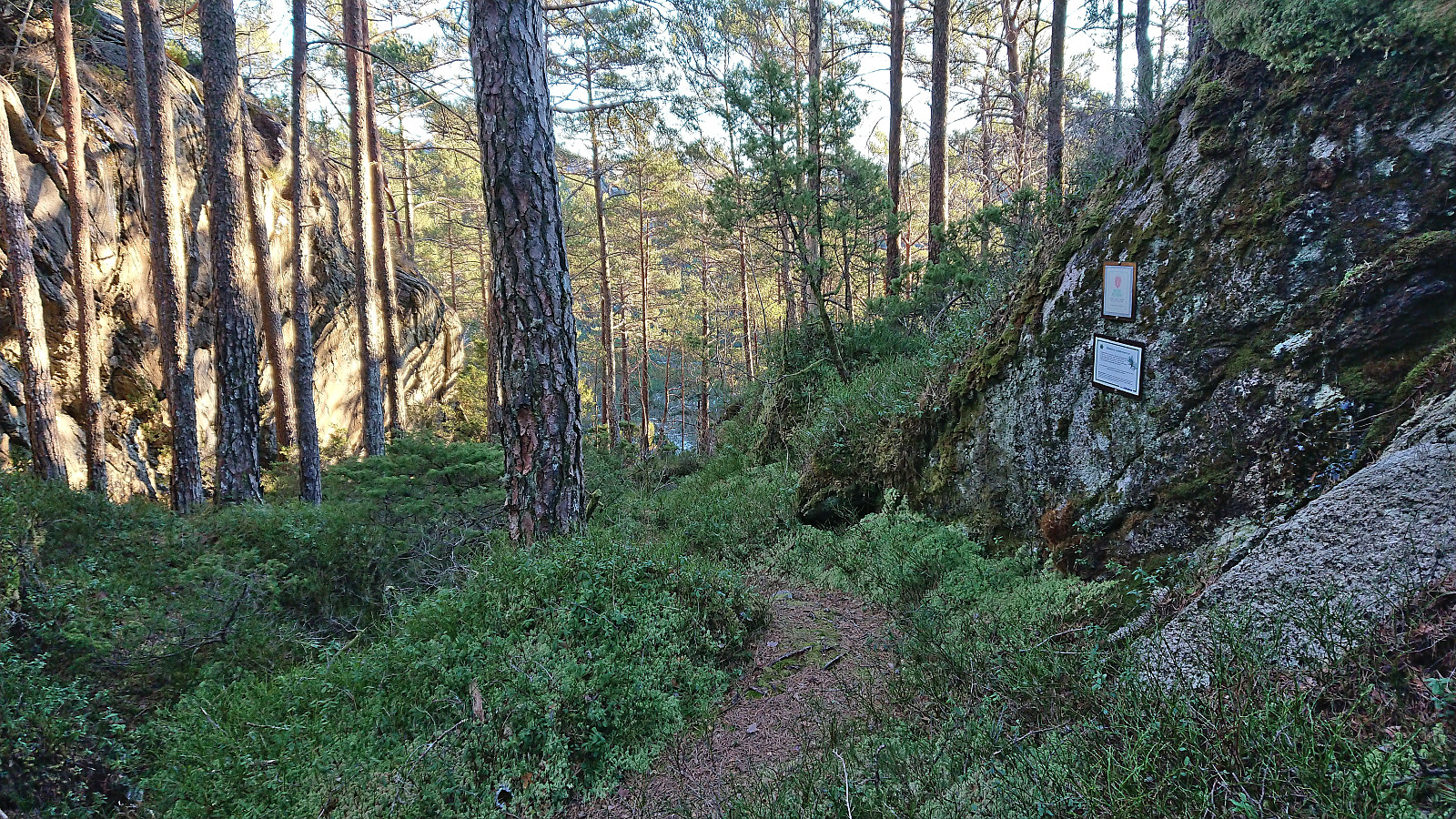
I started by taking the bus to Nordvik and getting off at "Nordvik Nord". From there I followed the road west towards Heggvik where I located an unmarked trailhead at the point where the road forks for the last time.
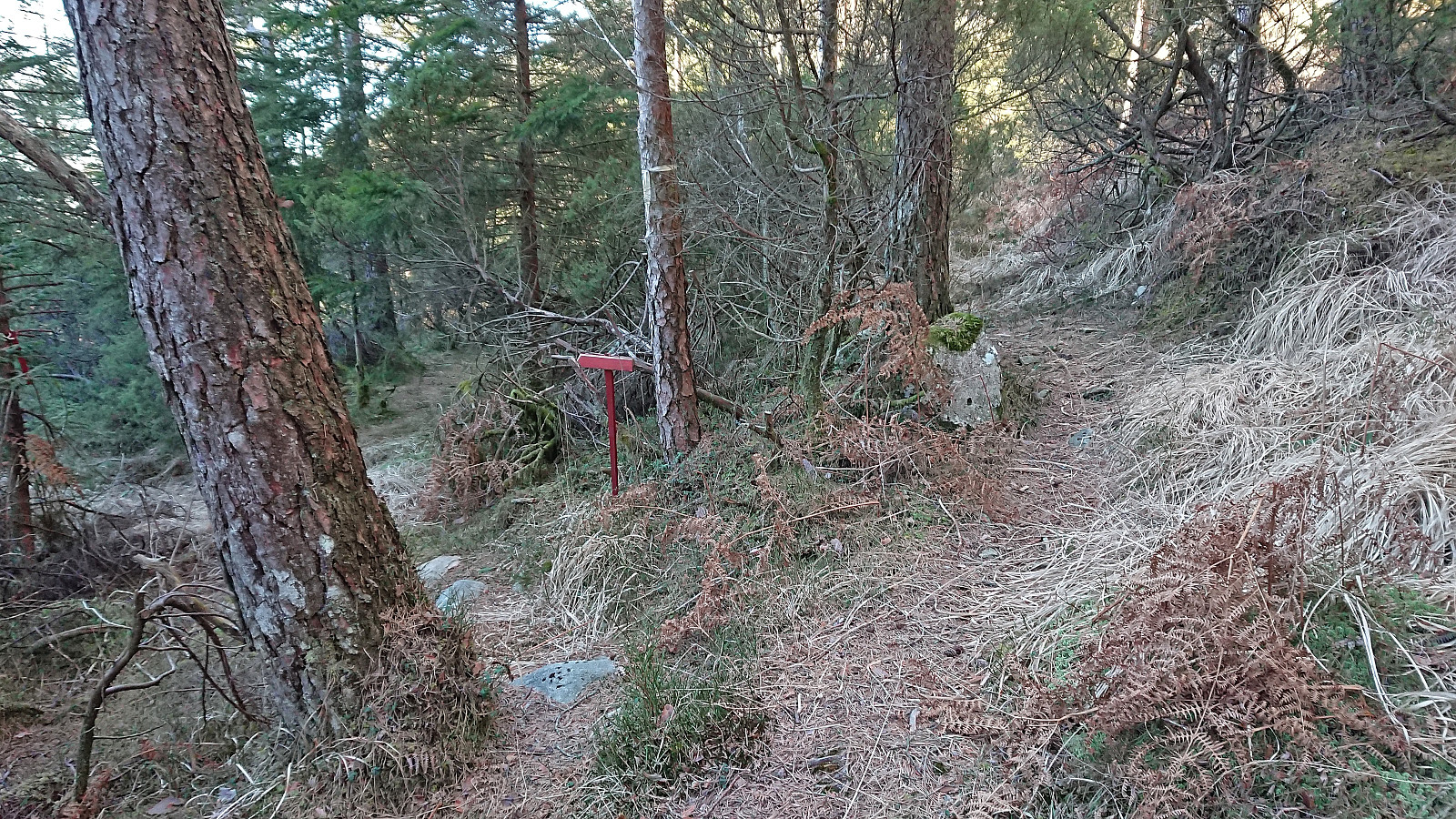
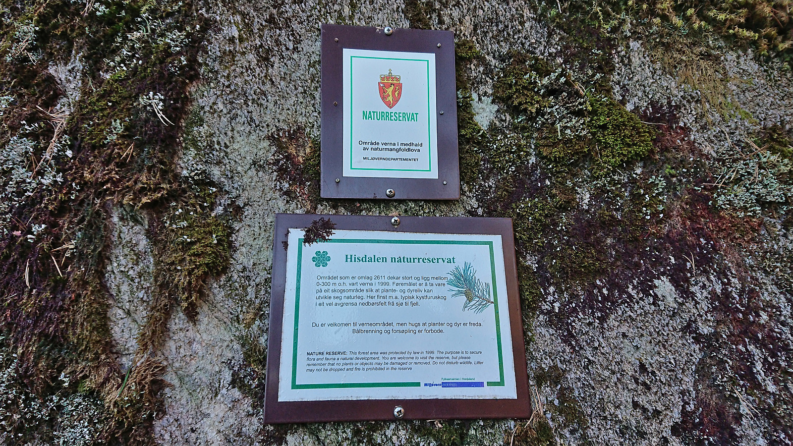
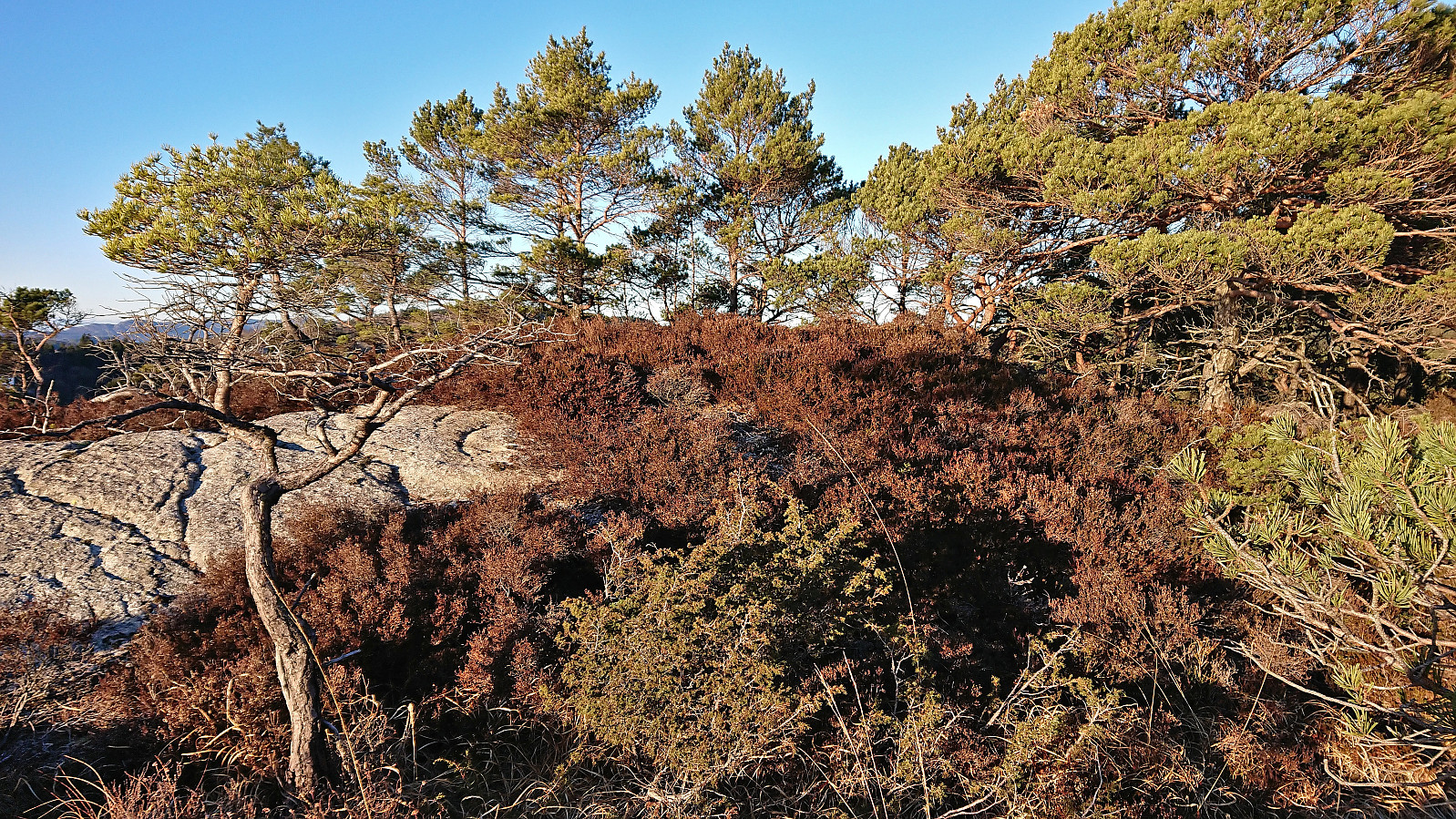
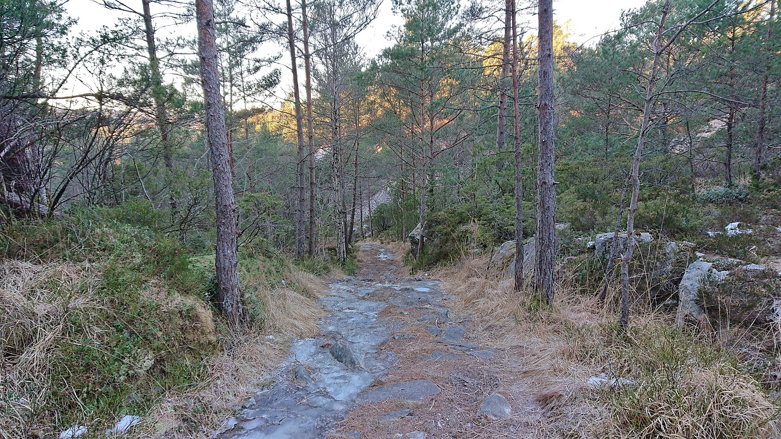
The trail was weak and probably rather wet at warmer parts of the year. I was therefore surprised when later coming across several red trail markers. It however quickly became clear that these were not leading me in the right direction (perhaps rather heading to Særvika?). After backtracking to the last fork of the trail I continued on an unmarked trail towards Hisdalsvatnet.
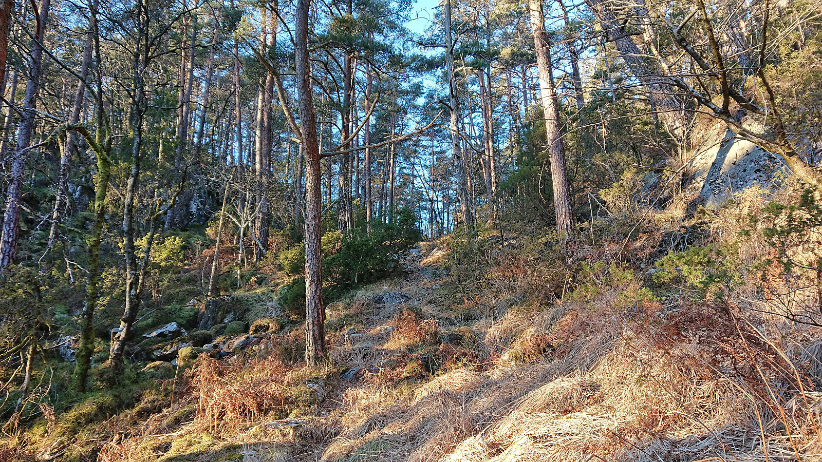
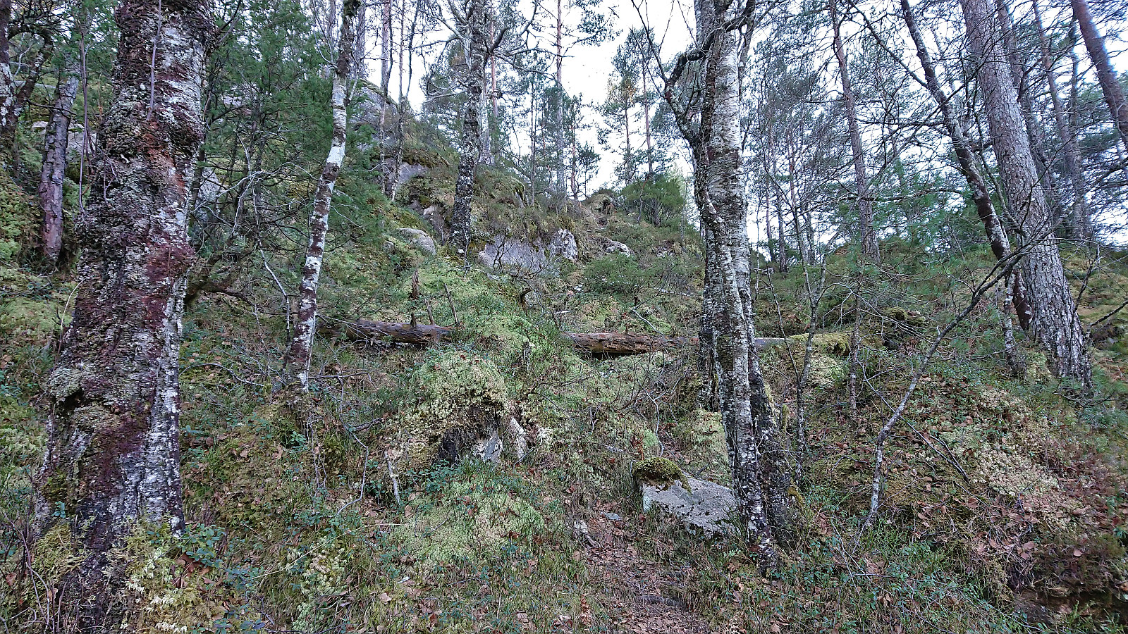
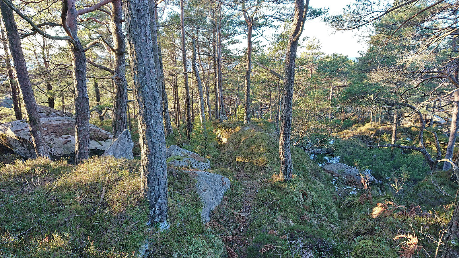
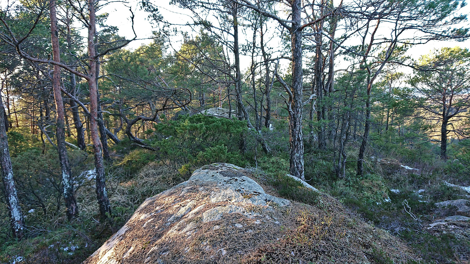
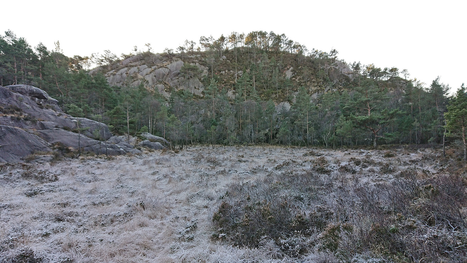
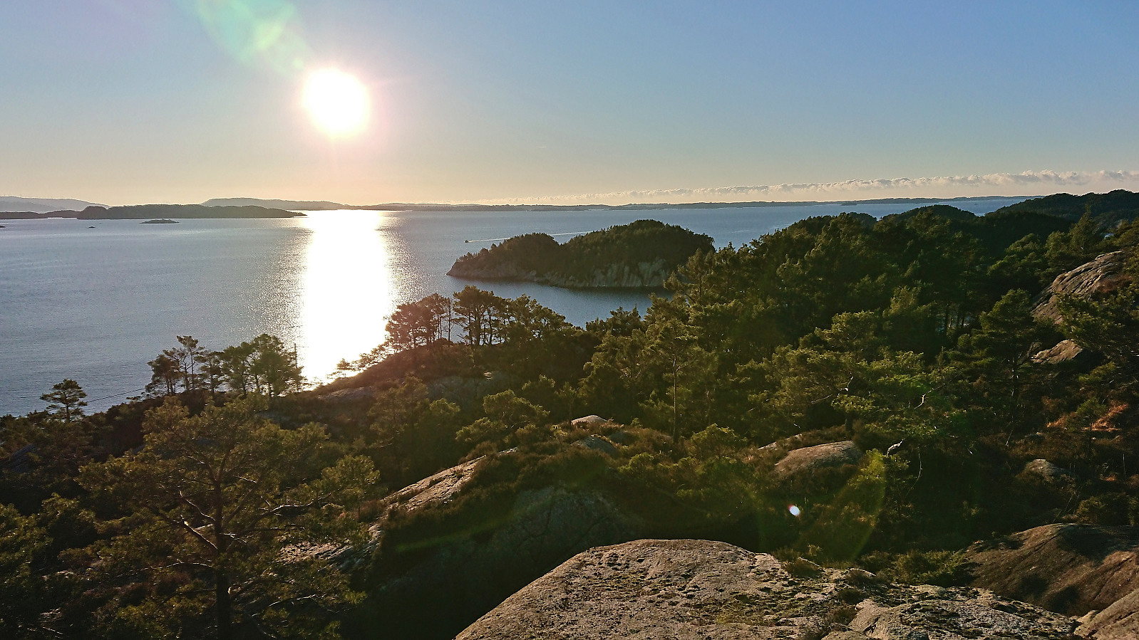
My first goal was Insta Ospevikfjellet, which was easily ascended by leaving the trail and following deer tracks all the way to the highest point. Limited views from the summit although the antenna at Lyseskarfjellet could be spotted in between the many trees.
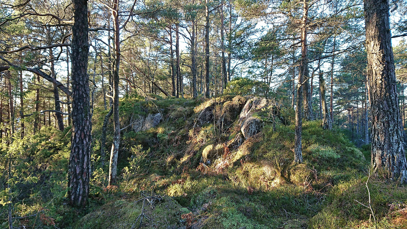
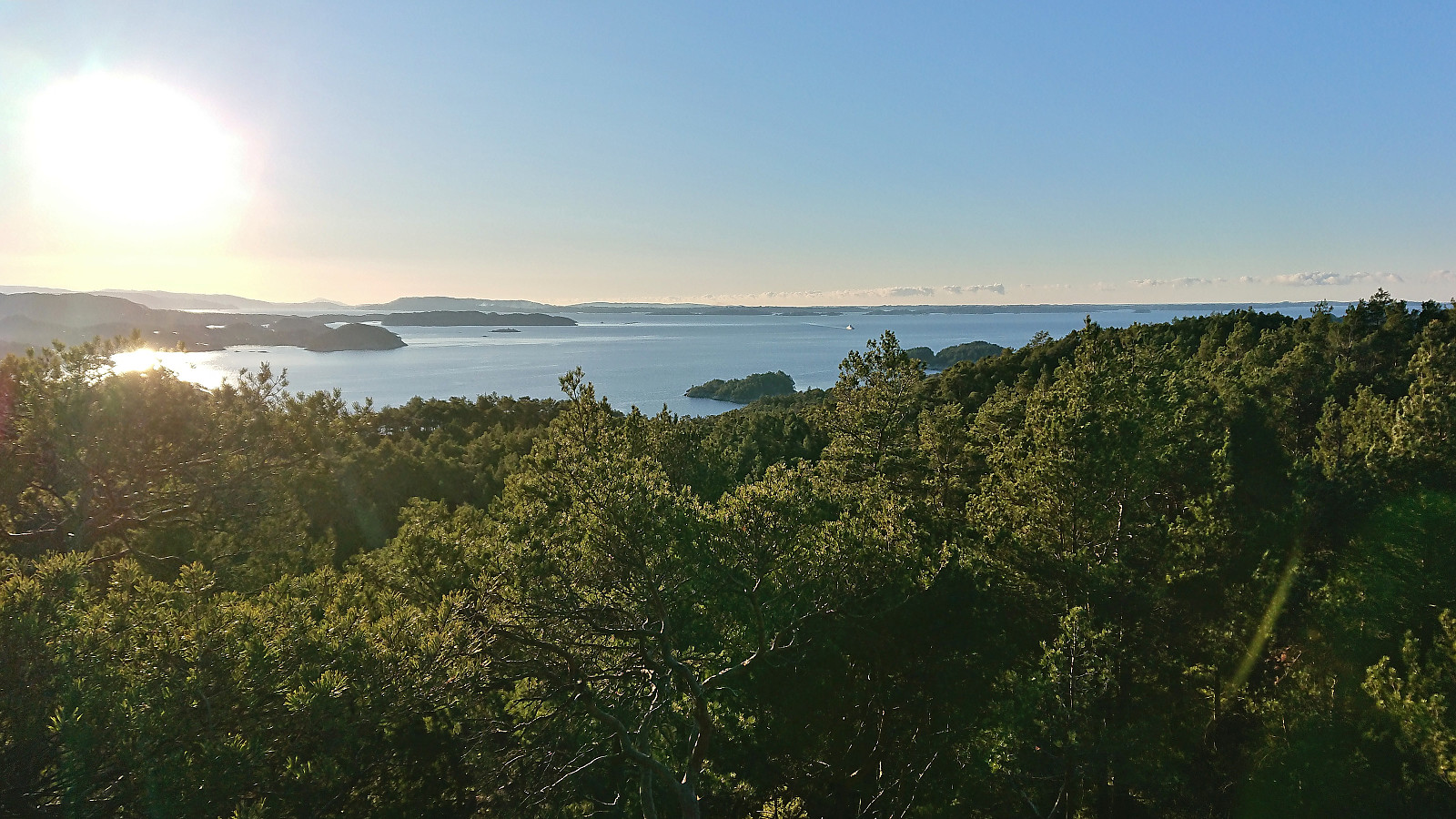
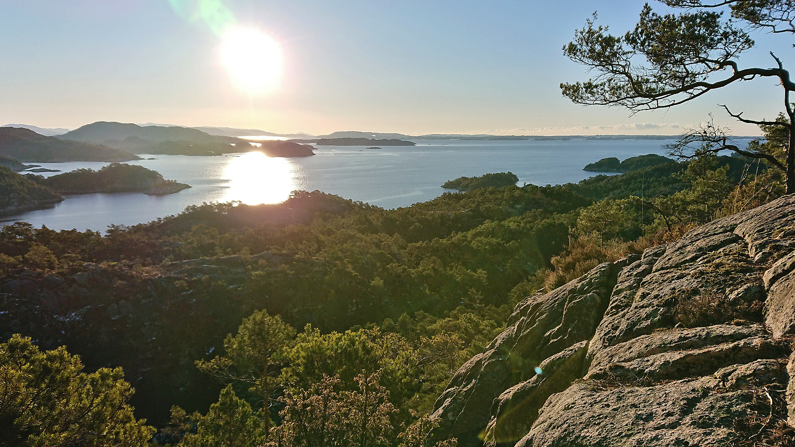
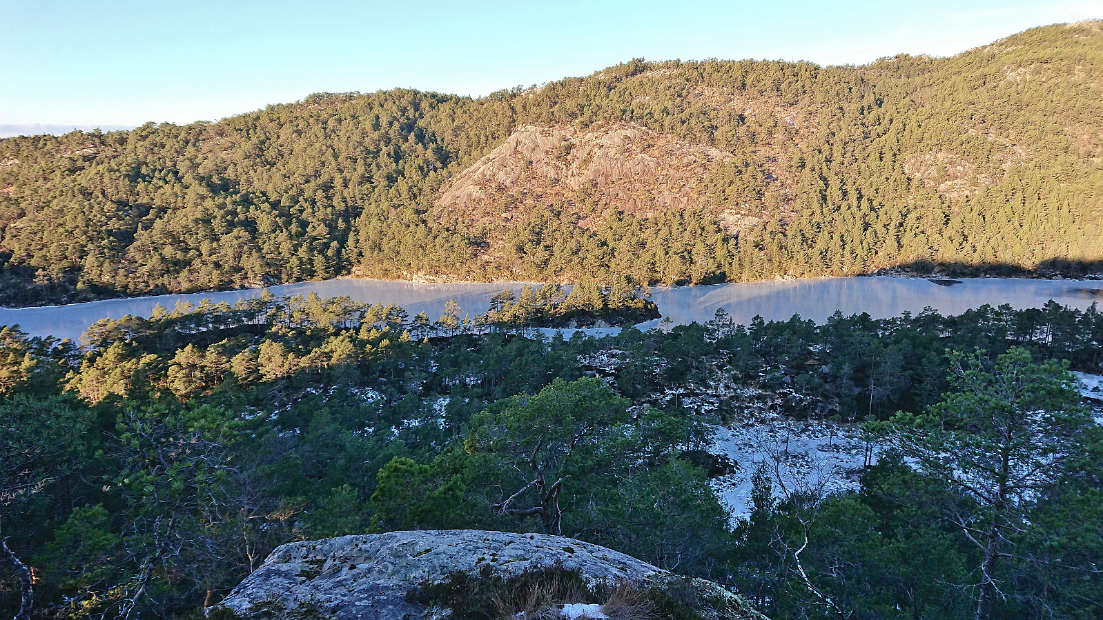
From Insta Ospevikfjellet I continued southwest along the ridge to Ytsta Ospevikfjellet. By again following various deer tracks this was overall straightforward and did not present any real challenges. Limited views from the summit, however excellent views could by obtained if moving just south or north of the highest point.
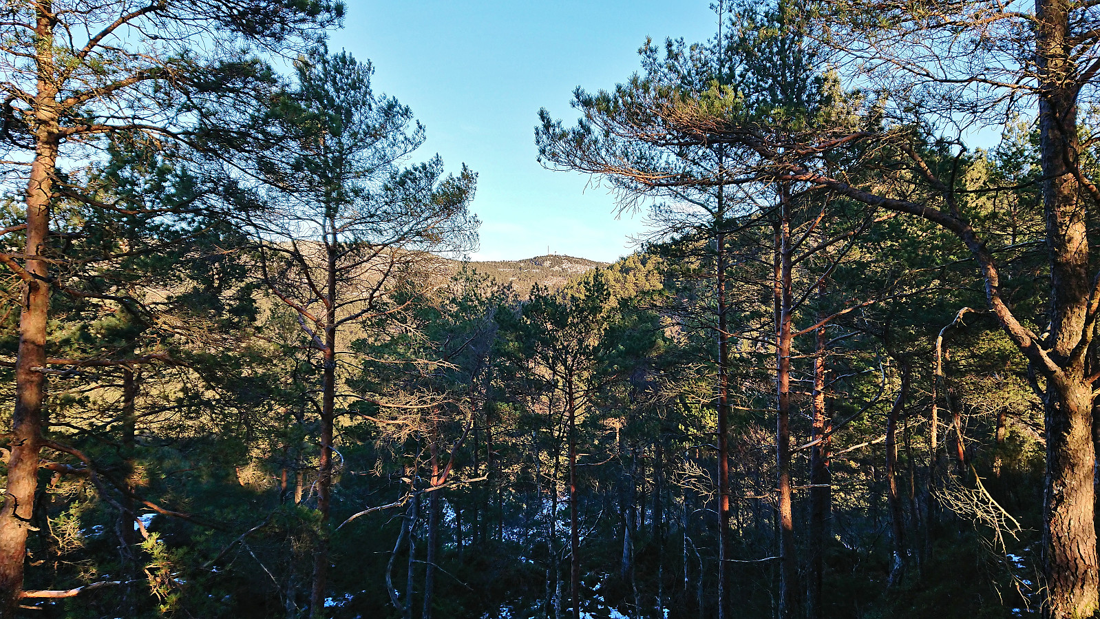
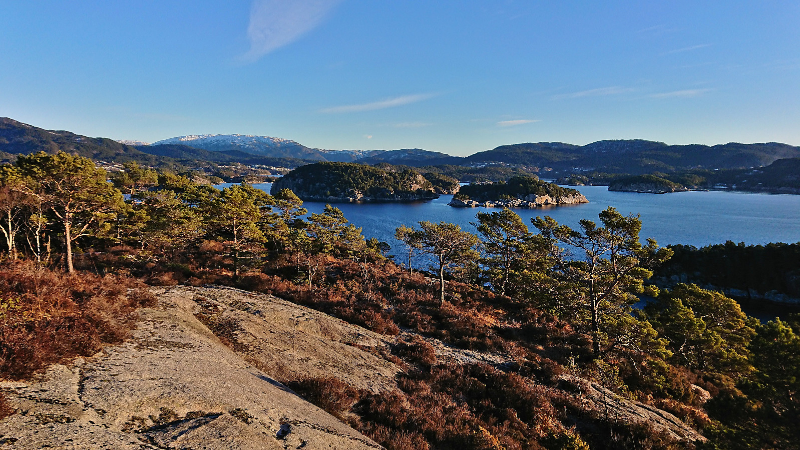
Given that my next goal was Austneset, I continued southwest along the ridge towards Litlavatnet, still following various deer tracks. The only challenging section here was the final descent from Ytsta Ospevikfjellet where there was a steep area that had to be sidestepped.
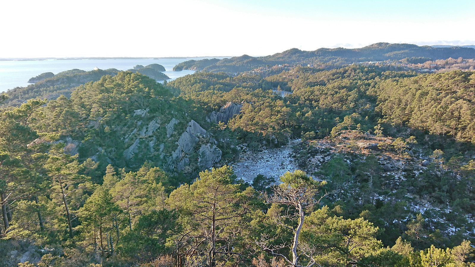
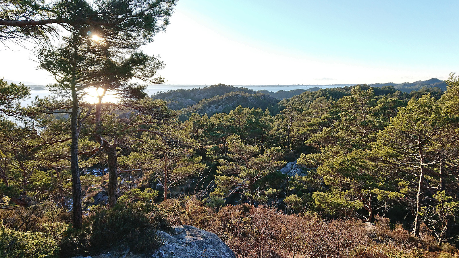
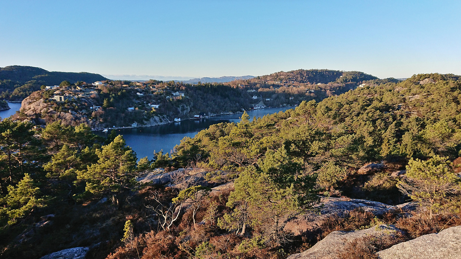
After passing Litlavatnet I turned southeast and followed what looked like trails to the wet area northeast of the highest point at Austneset before completing the final easy ascent to the summit from the east. After enjoying the great views at the summit I returned the same way and then headed north to Austrevågen.
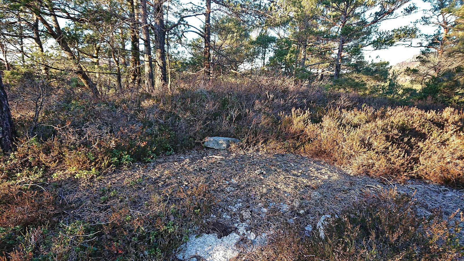
On the way to Austrevågen I included a quick visit of Vardehaugen, which despite its name did not include a cairn (unless a single small rock is counted as a cairn). Upon arriving at Krokeidevegen there was an hour until the next bus, I therefore concluded the hike by walking along the road to Fana kirke, thus reducing the waiting time to around ten minutes.
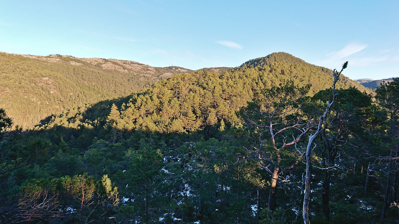
In summary, a nice hike with some excellent views along the way. I also had three separate deer encounters. All of them were too brief to take any pictures. The walk from Krokeide to Fana kirke can be skipped without missing much though. And it is probably best to do this hike in the wintertime as otherwise many of the areas will most likely be rather wet.

| Start date | 06.01.2024 11:25 (UTC+01:00) |
| End date | 06.01.2024 15:35 (UTC+01:00) |
| Total Time | 4h 10min |
| Moving Time | 3h 34min |
| Stopped Time | 0h 36min |
| Overall Average | 3.0km/h |
| Moving Average | 3.5km/h |
| Distance | 12.4km |
| Vertical meters | 464m |

User comments