Haukeland sykehus to Bryggen (17.12.2023)

| Start point | Haukeland sykehus (44m) |
|---|---|
| Endpoint | Bryggen (1m) |
| Characteristic | Hike |
| Duration | 1h 08min |
| Distance | 4.6km |
| Vertical meters | 91m |
| GPS |
|
| Visits of other PBEs | Bjørndalen firkantsøyle (87m) | 17.12.2023 |
|---|---|---|
| Bryggen i Bergen (1m) | 17.12.2023 |
Haukeland sykehus to Bryggen
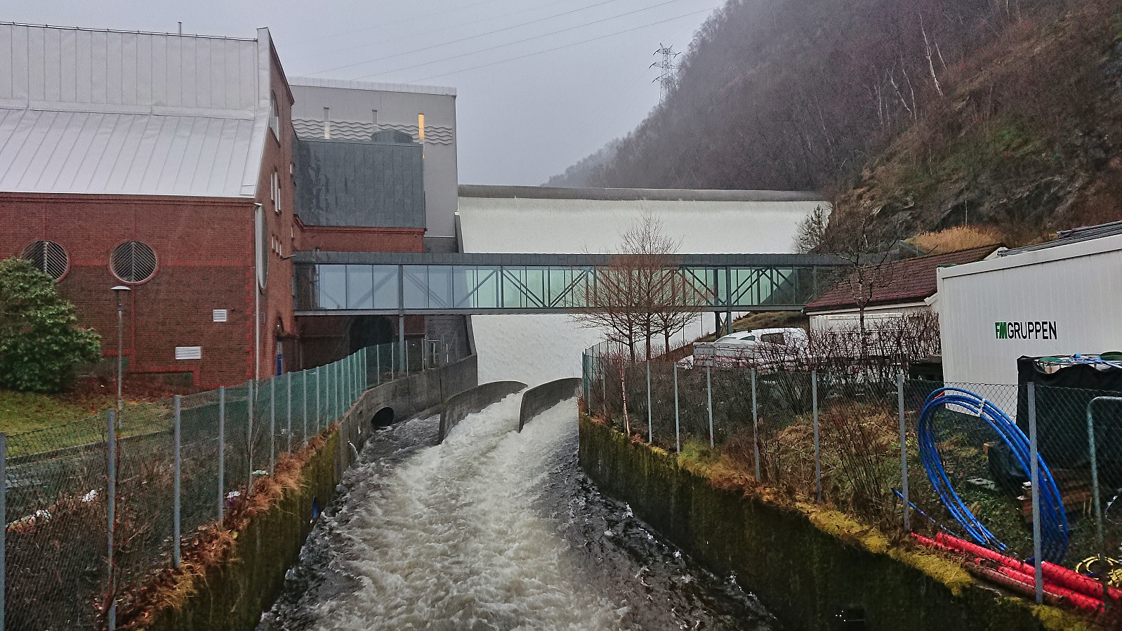
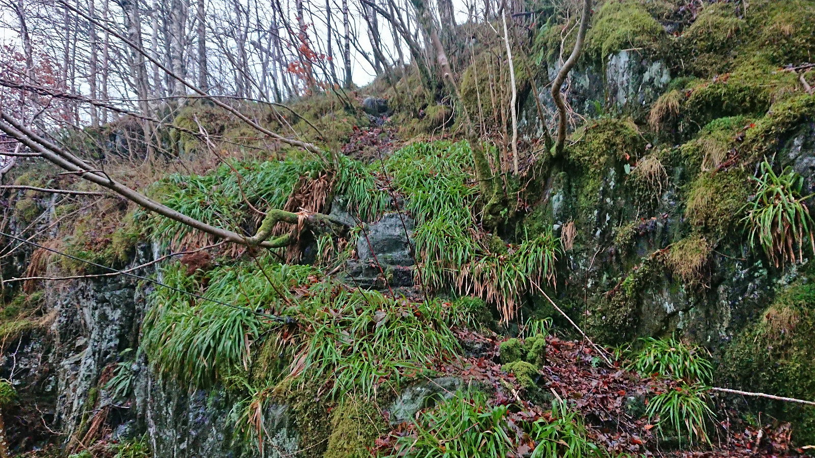
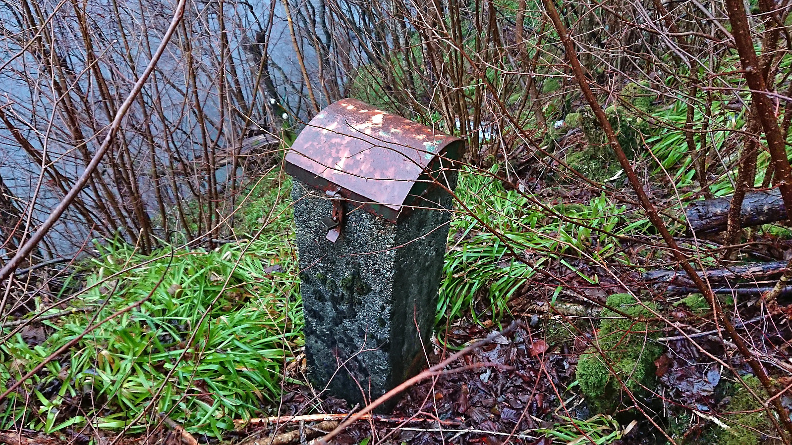
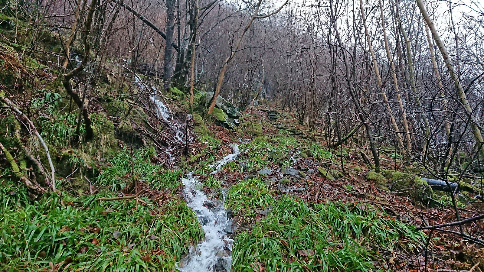
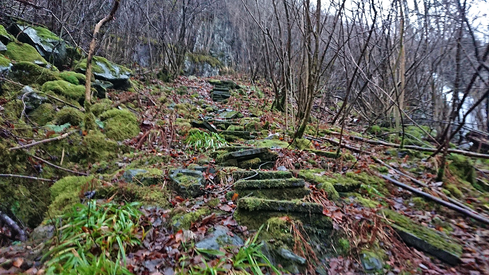
A short hike on a wet and foggy Sunday with the main objective of visiting an old trig marker next to the dam at Svartediket. Getting to the trig marker was easier than expected (probably due to my expectations being quite low). Limited views and not much interest for the average hiker though. Before returning to the road I also explored some steps that, combined with additional wooden steps, led to one of the large masts supporting the overhanging power lines just south of the trig marker. The hike was concluded by walking to the city center, including a stroll through Assistentkirkegården.

| Start date | 17.12.2023 14:22 (UTC+01:00) |
| End date | 17.12.2023 15:30 (UTC+01:00) |
| Total Time | 1h 08min |
| Moving Time | 0h 58min |
| Stopped Time | 0h 10min |
| Overall Average | 4.0km/h |
| Moving Average | 4.7km/h |
| Distance | 4.6km |
| Vertical meters | 90m |

User comments