Raunelifjellet from Grøssviki (22.05.2022)

| Start point | Grøssviki (59m) |
|---|---|
| Endpoint | Grøssviki (59m) |
| Characteristic | Hillwalk |
| Duration | 3h 45min |
| Distance | 6.6km |
| Vertical meters | 503m |
| GPS |
|
| Ascents | Raunelifjellet (458m) | 22.05.2022 |
|---|
Raunelifjellet from Grøssviki
For almost two years, Raunelifjellet had been my only remaining summit on the Osterøy ≥ 100m pf. list. When Kjell51 (Kjell Øijorden) suggested a joint trip to Raunelifjellet, I therefore of course eagerly agreed. After reading previous trip reports, we decided to go for an ascent from Grøssviki northeast of the summit, thus following in the footsteps of elbow (Vegard Magnussen) and arntfla (Arnt Flatmo). (See their trip reports here and here.)
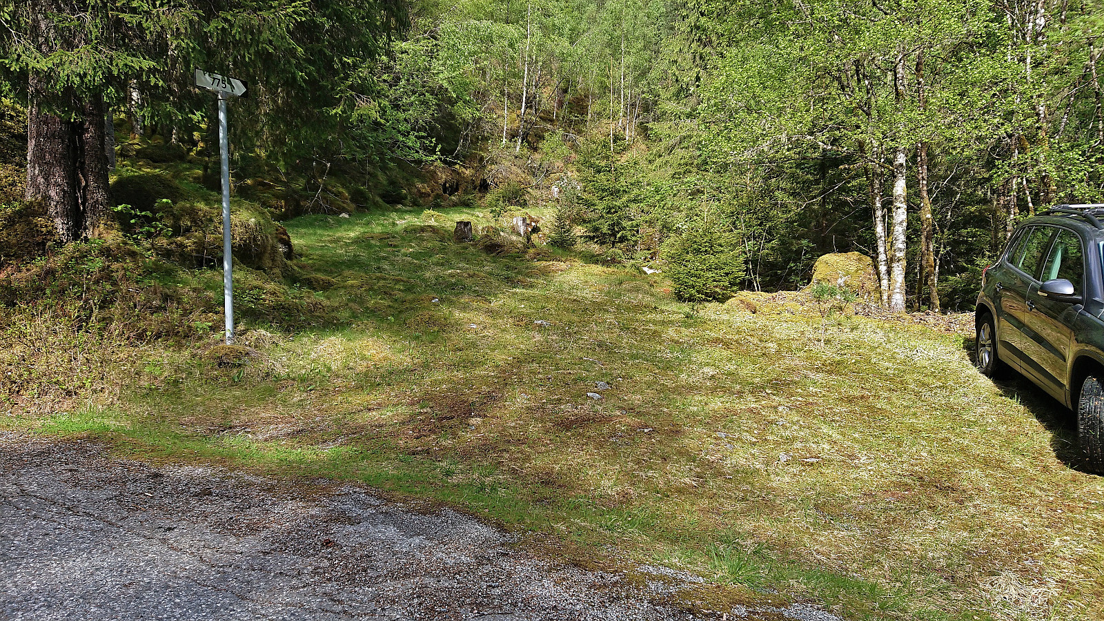
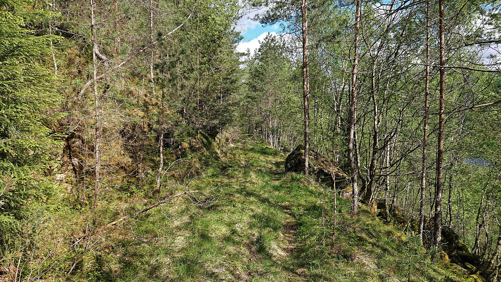
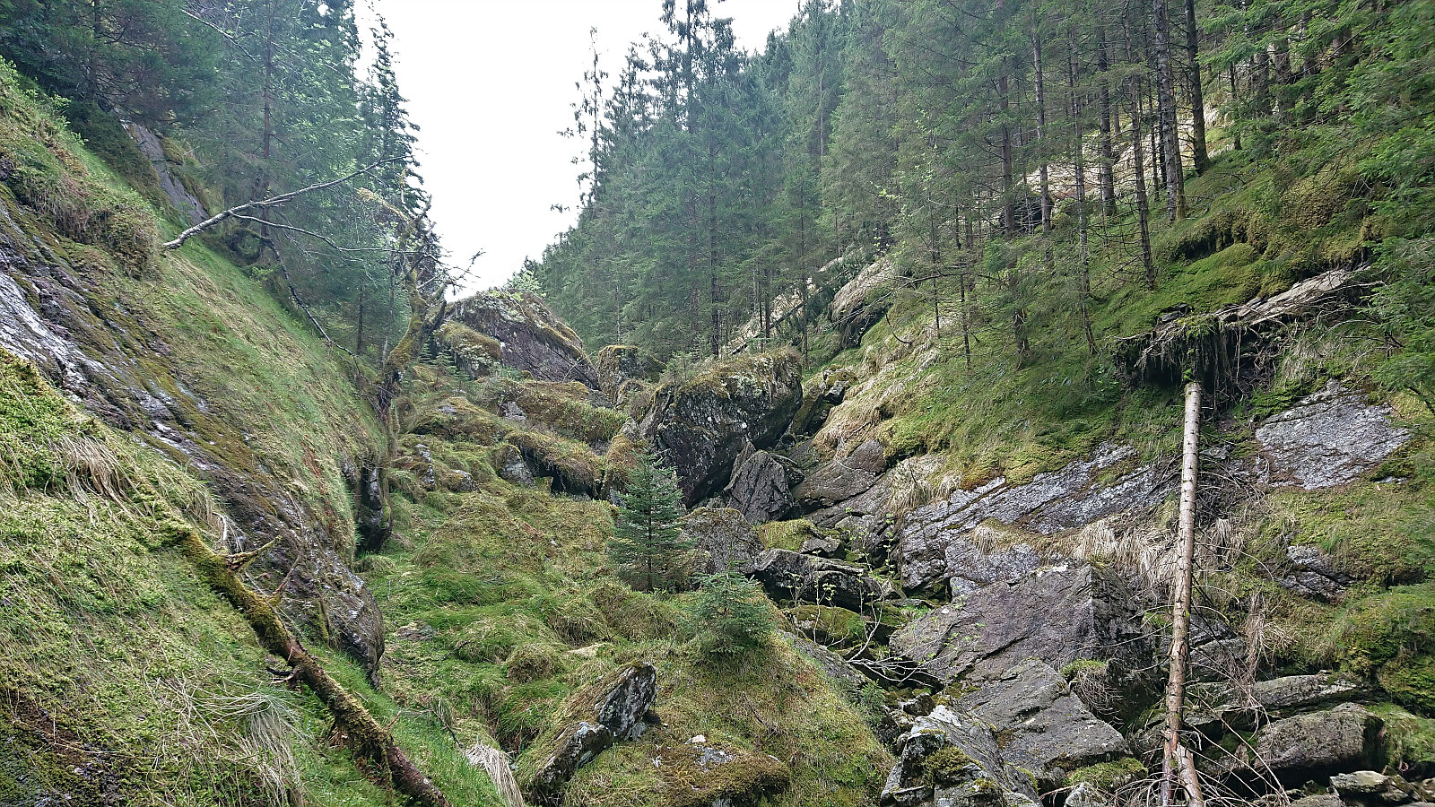
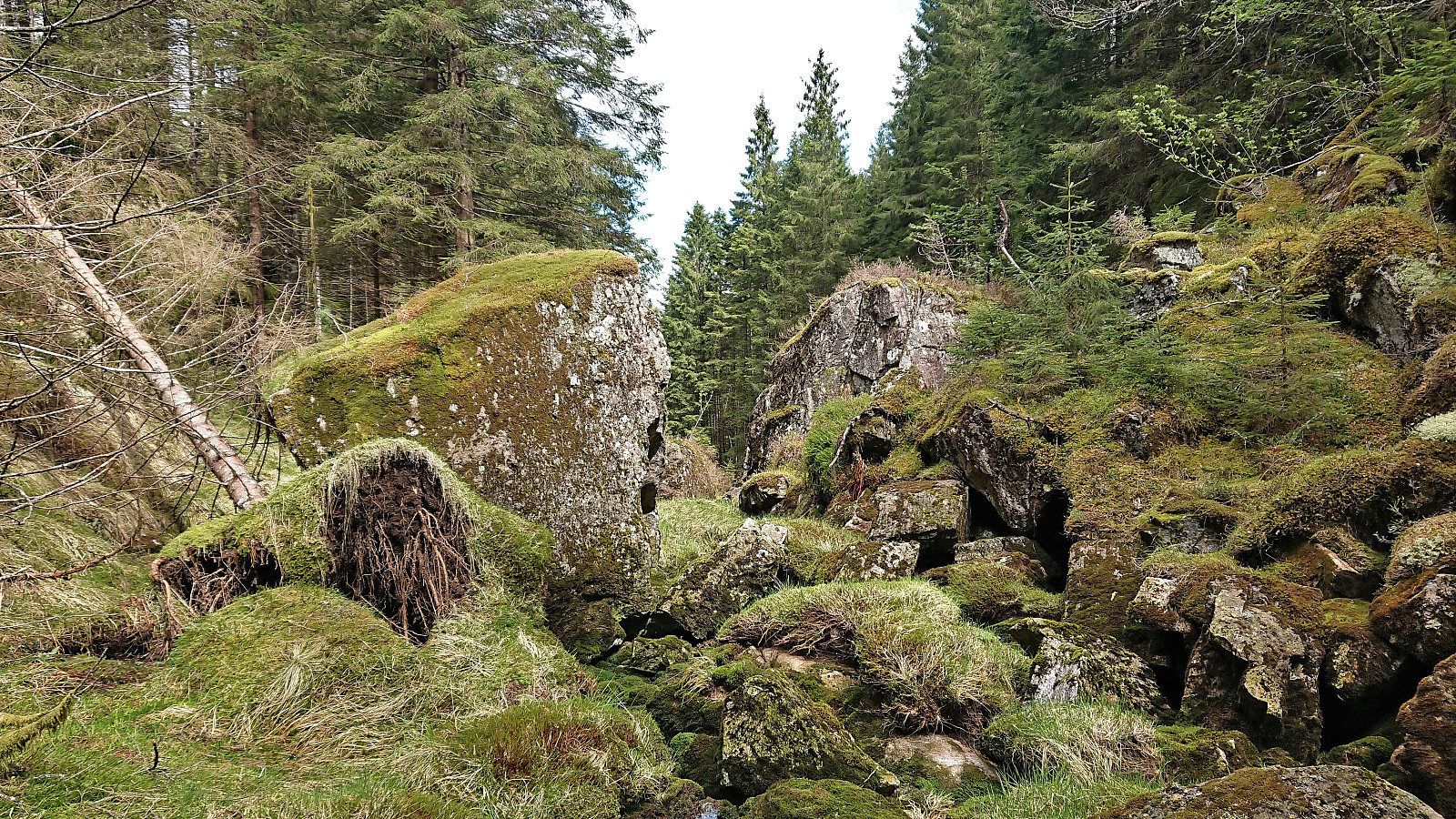
We found parking at the start of a tractor road beginning in the first hairpin turn on the road up from Grøssviki. Plenty of room here for a single car, without blocking neither of the two roads. Here we left the car behind and continued on foot along a tractor road that did not seem to be very frequently used. Soon we left the tractor road behind and continued southwest on a weak road/trail that shortly came to an end. From there on, we followed various deer tracks towards the most natural point to descend into Norddalen, a location labeled "Klatregryvlet" on the map.
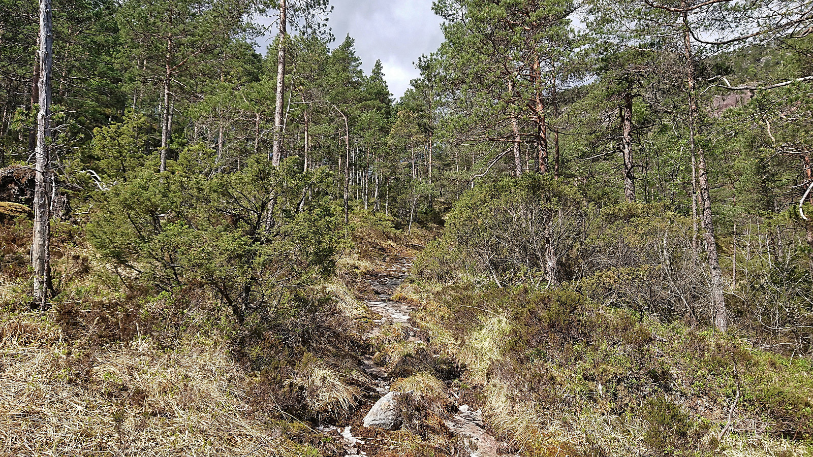
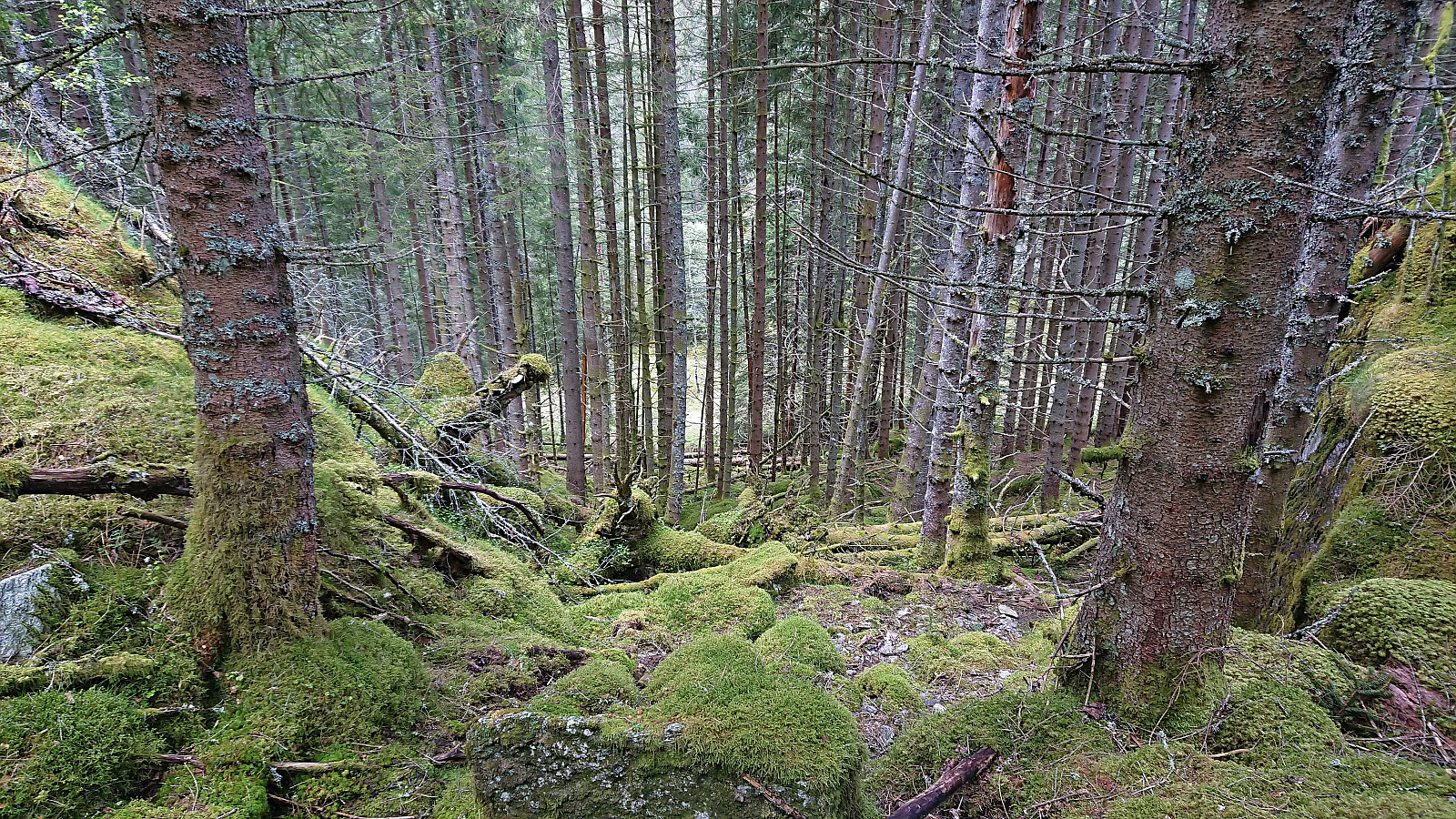
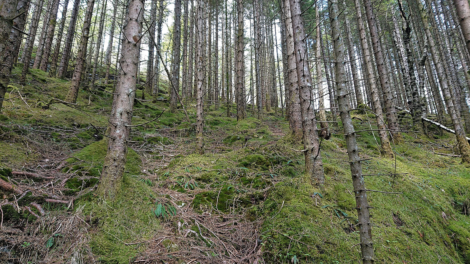
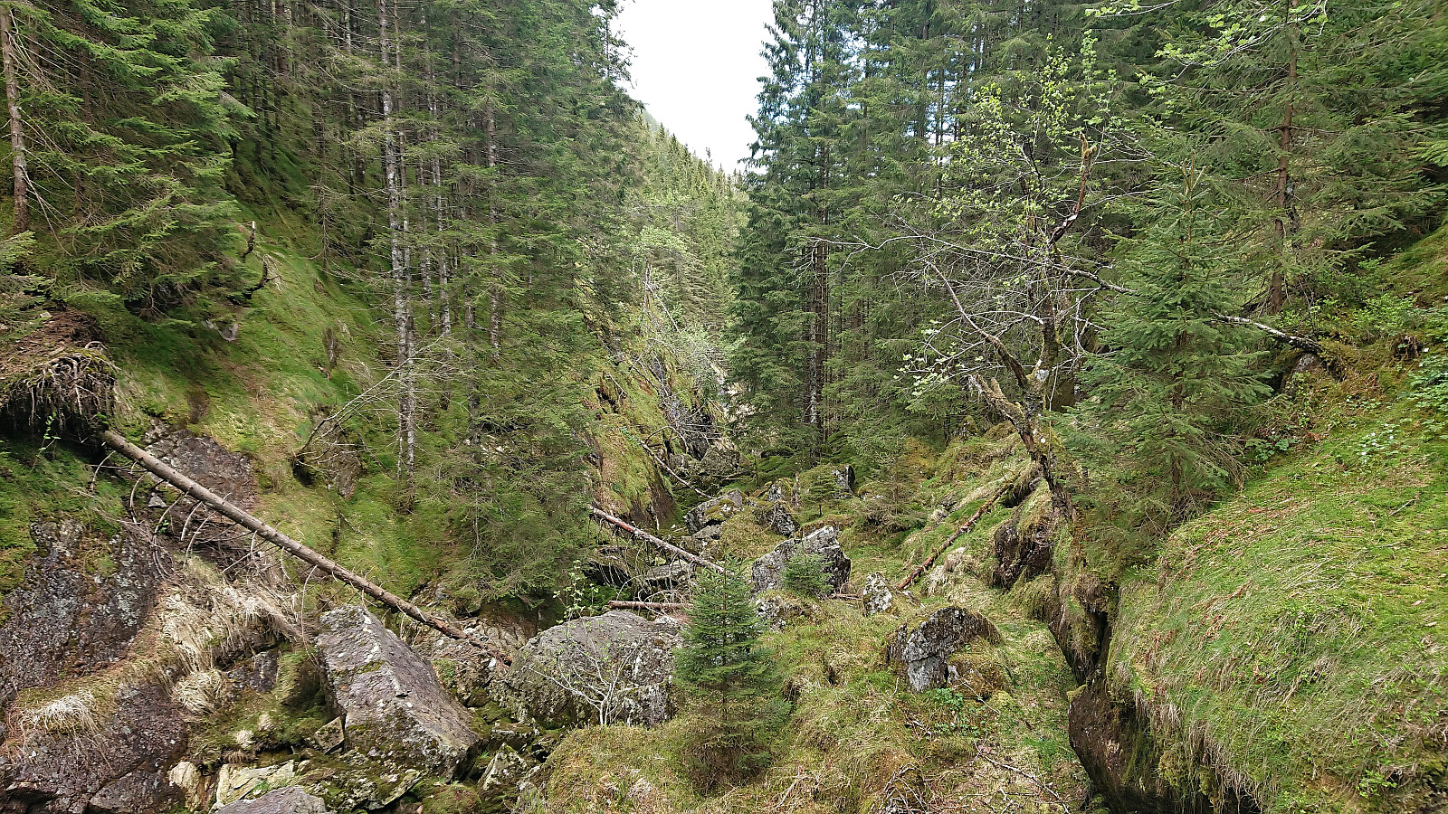
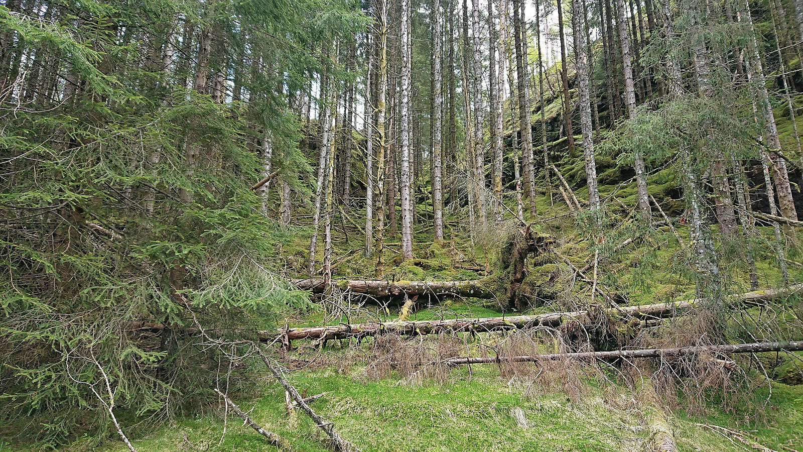
Despite having a name where the first part translates to "climbing" (not sure what the last part means?), there was very little, actually no, climbing involved, and we easily made our way down to a lower plateau that we proceeded to follow southwest. Soon we arrived at the next natural point to descend, taking us to the small stream at the bottom of Norddalen. After a short walk along the almost completely dry stream, we crossed it in between some large rocks and started our ascent up the other side of the valley, following various deer tracks, and at first heading north/northwest.
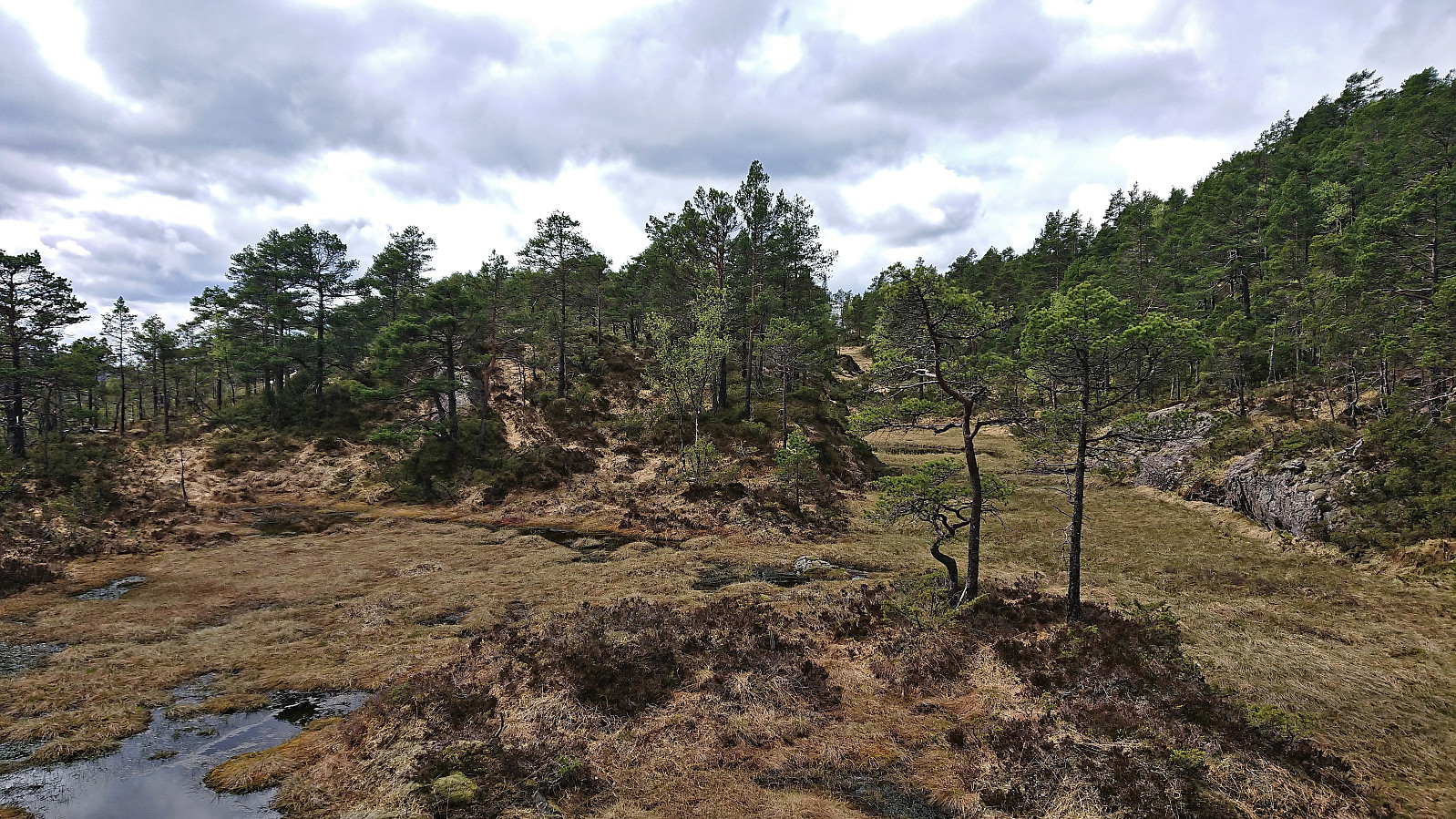
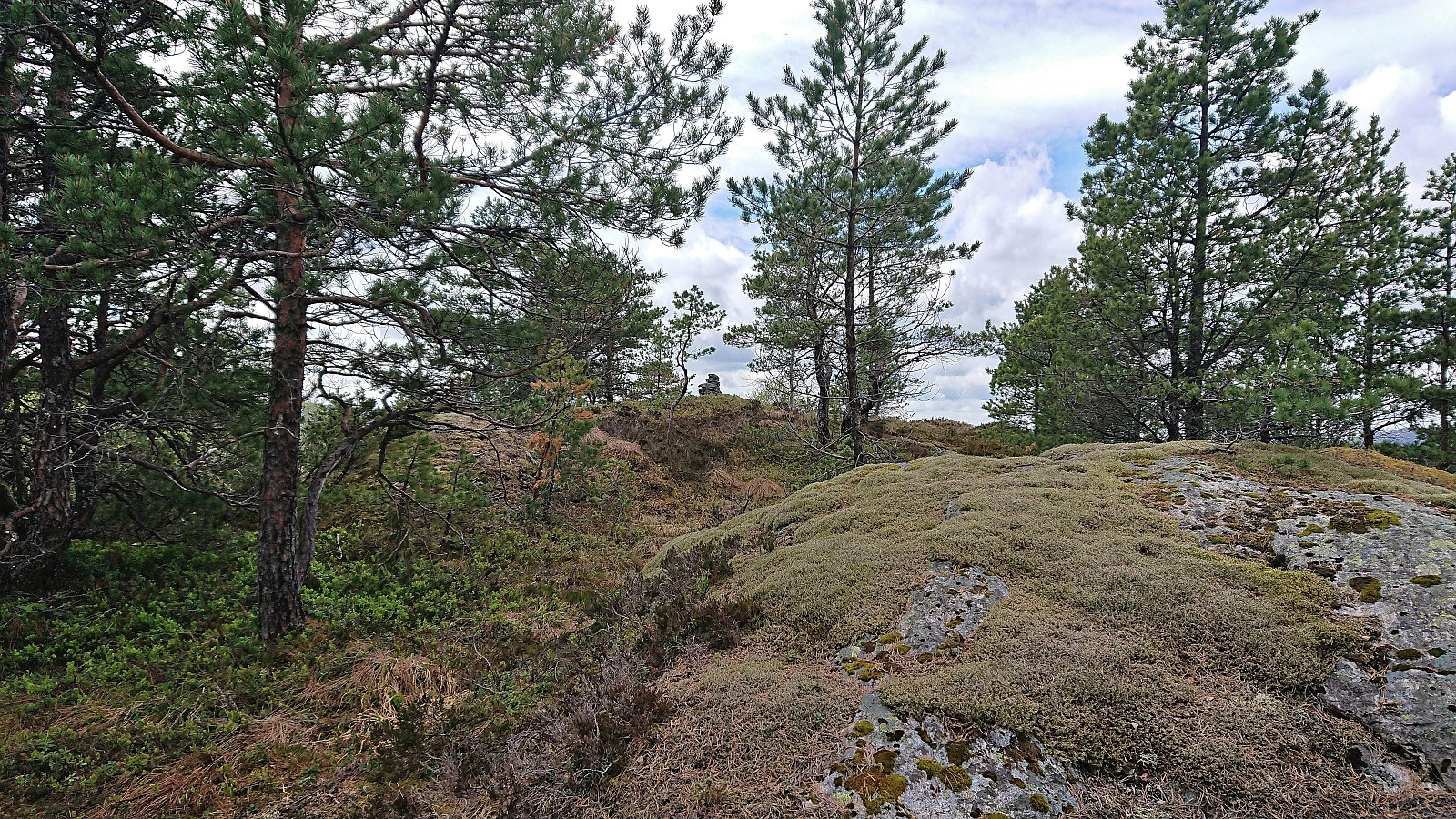
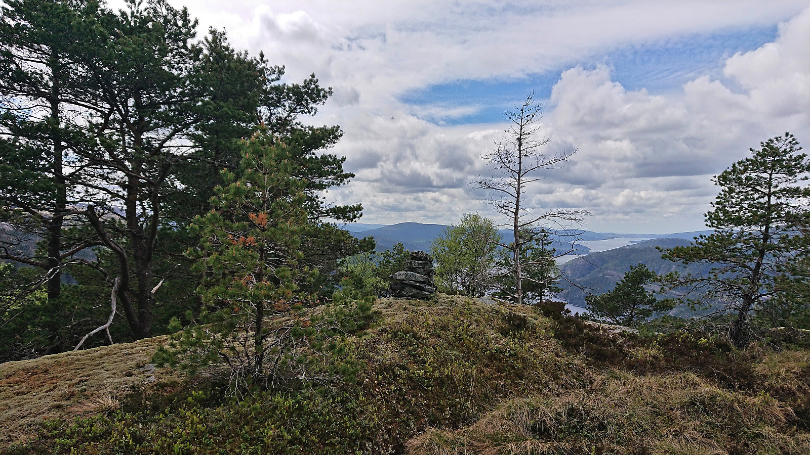
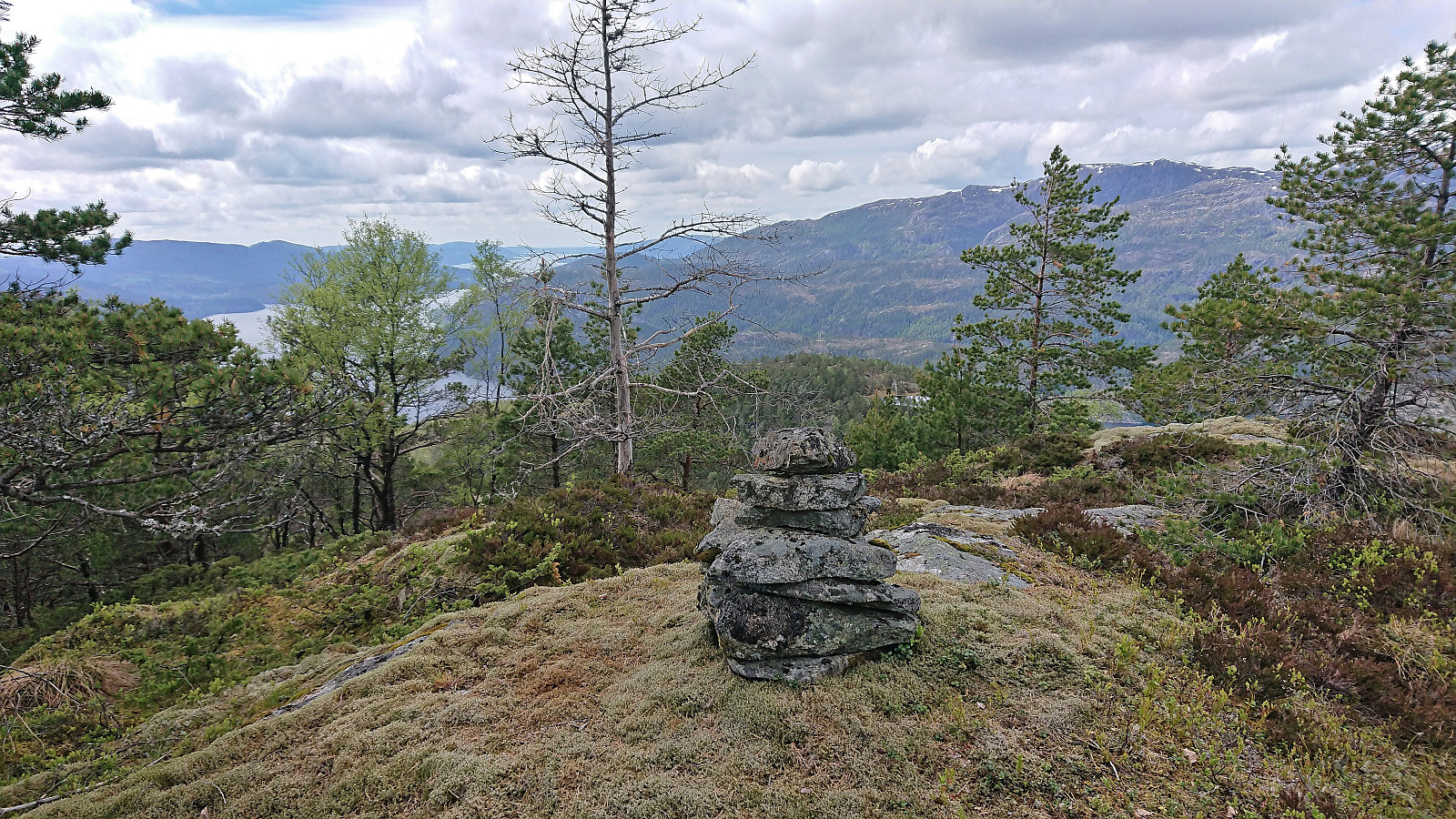
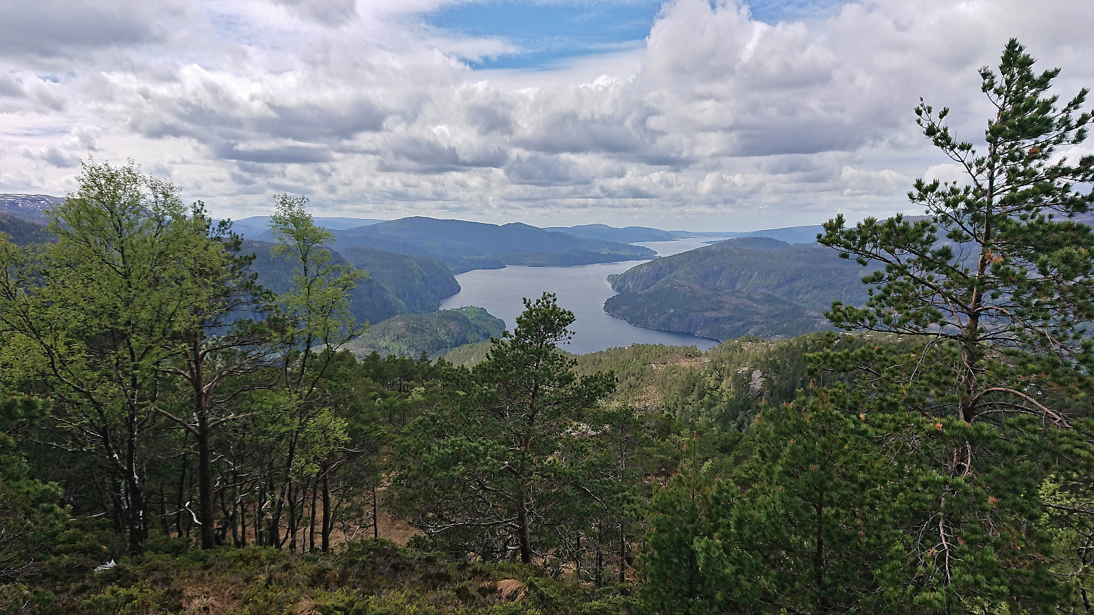
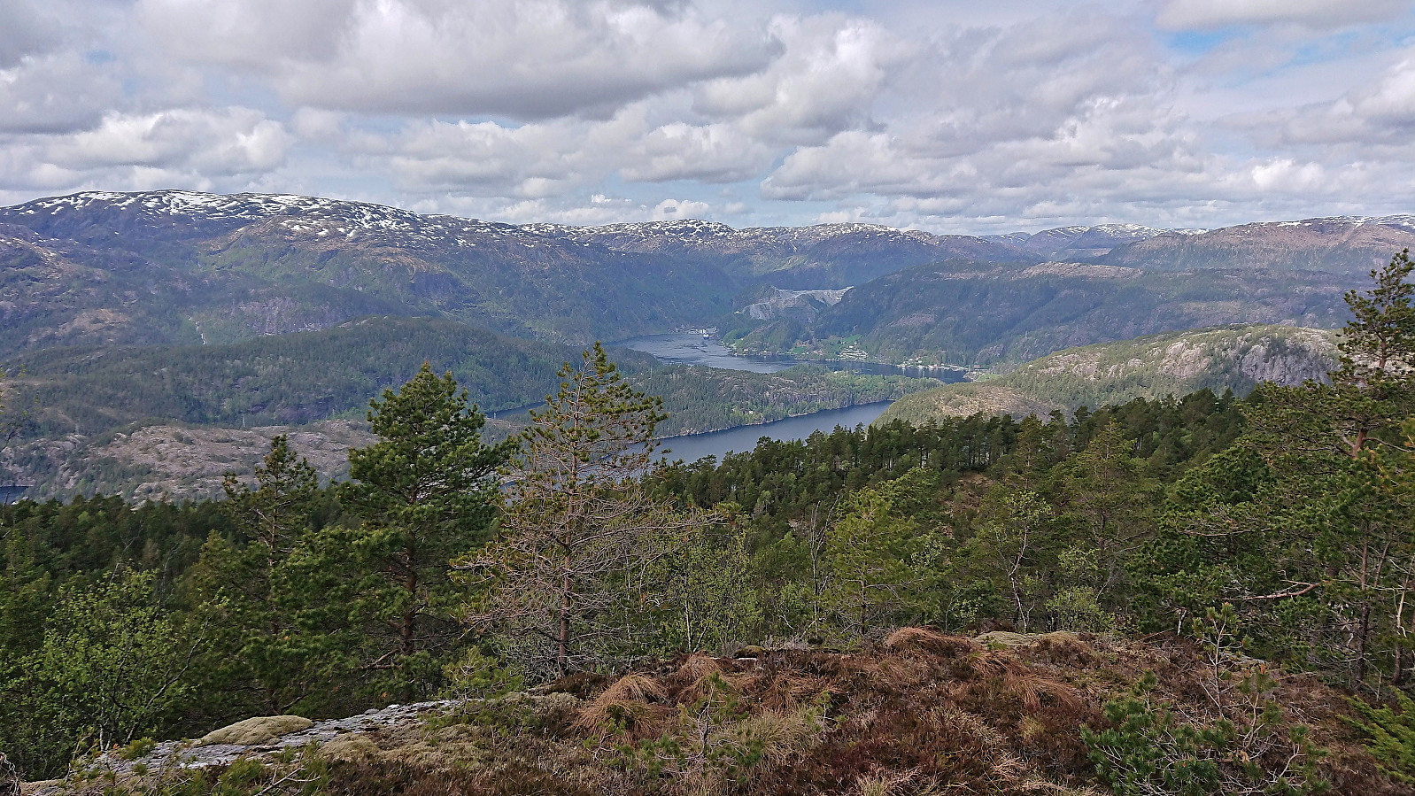
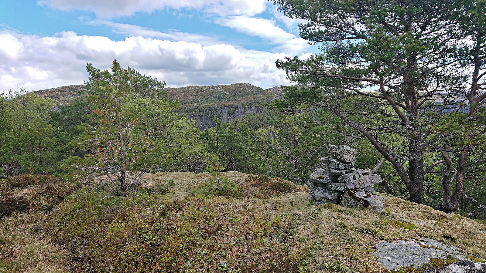
When we later turned southeast towards the summit, the terrain leveled off and the summit was reached without any issues. The summit provided great views, mainly east towards Eikefet, Husafjellet, Hokøy and Paddøy, and southwest along Osterfjorden with Nordhordlandsbron in the far distance. After a short lunch break, we returned along the same route.
In summary, a much nicer hike than expected, with great views from the summit. And while there were only deer tracks to follow, the route pretty much gave itself and did not provide any real challenges. Based on trip reports from the alternative route from Kleiveland, I therefore conclude that the route we followed from Grøssviki is most likely the recommended way to reach the summit of Raunelifjellet.
| Start date | 22.05.2022 10:42 (UTC+01:00 DST) |
| End date | 22.05.2022 14:28 (UTC+01:00 DST) |
| Total Time | 3h 45min |
| Moving Time | 3h 05min |
| Stopped Time | 0h 40min |
| Overall Average | 1.8km/h |
| Moving Average | 2.1km/h |
| Distance | 6.6km |
| Vertical meters | 502m |

User comments
Gratulerer med fullført liste
Written by knutsverre 24.05.2022 14:54Osterøy PF>100. Stor variasjon når det gjelder adkomst og tilgjengelighet på toppene på Osterøy. Alltid kjekt å komme i mål med en ny (gammel!) liste!
Re: Gratulerer med fullført l
Written by hbar 25.05.2022 22:54Takk! Absolutt ikke den letteste listen å fullføre nei. Men det blir vel ikke enklere herfra og utover heller tenker jeg... ;)