Sandvikshytten via Brennhaugen (29.10.2018)

| Start point | Lønborg (55m) |
|---|---|
| Endpoint | Lønborg (55m) |
| Characteristic | Hillwalk |
| Duration | 2h 45min |
| Distance | 9.6km |
| Vertical meters | 565m |
| GPS |
|
| Visits of other PBEs | Furekammen (163m) | 29.10.2018 |
|---|---|---|
| Hellegrind (199m) | 29.10.2018 | |
| Ishuset ved Langevatnet (127m) | 29.10.2018 | |
| Munkegrind (158m) | 29.10.2018 | |
| Ravneberg (281m) | 29.10.2018 | |
| Sandvikshytten (345m) | 29.10.2018 |
Sandvikshytten via Brennhaugen
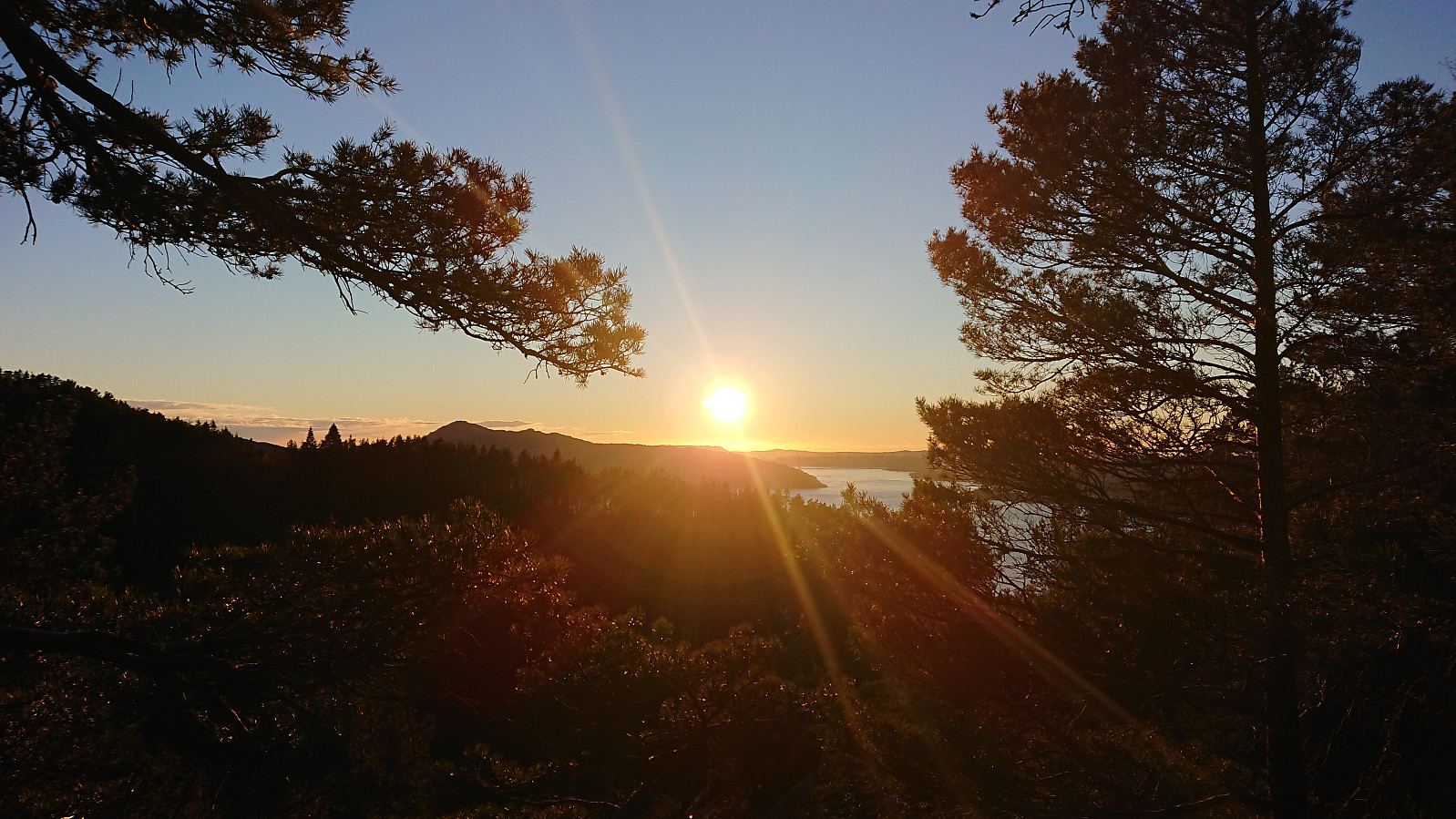
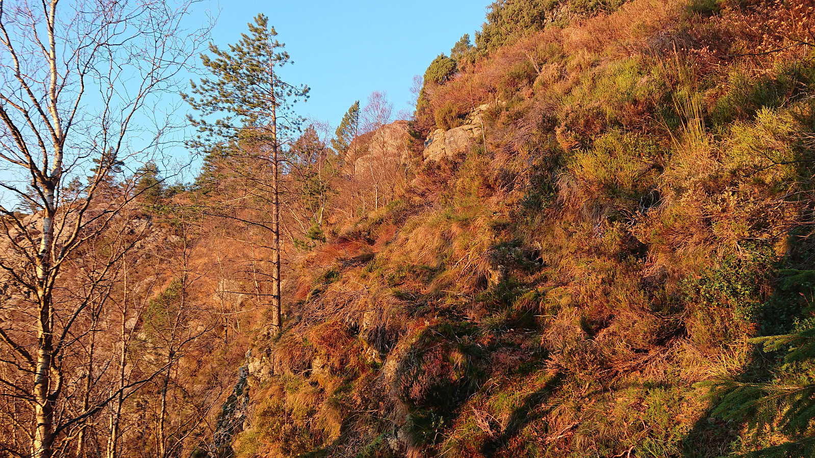
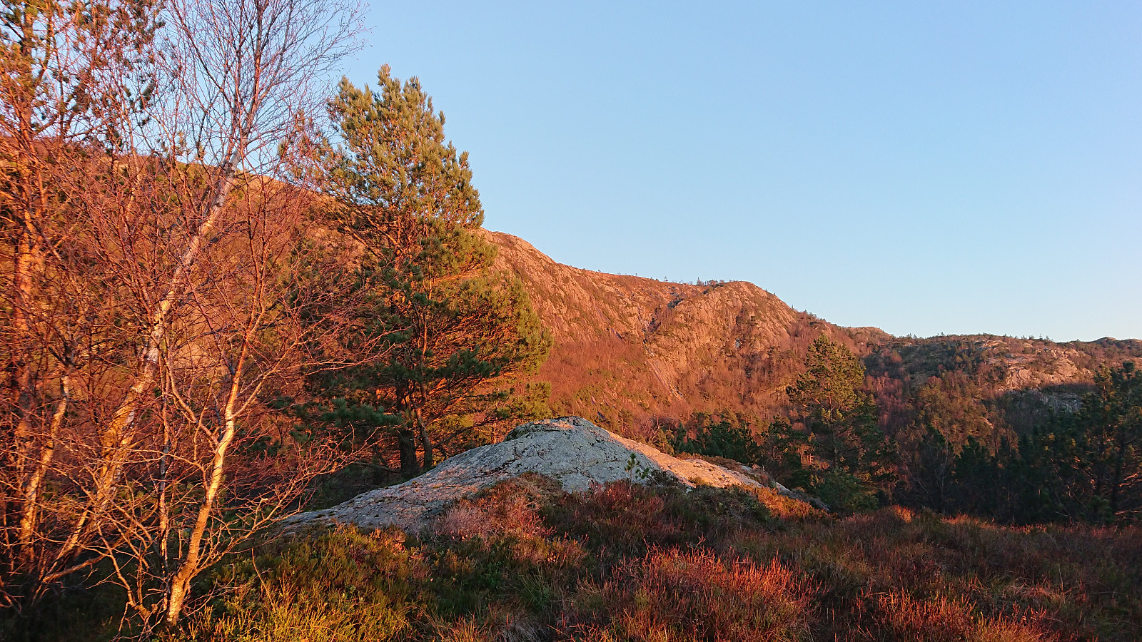
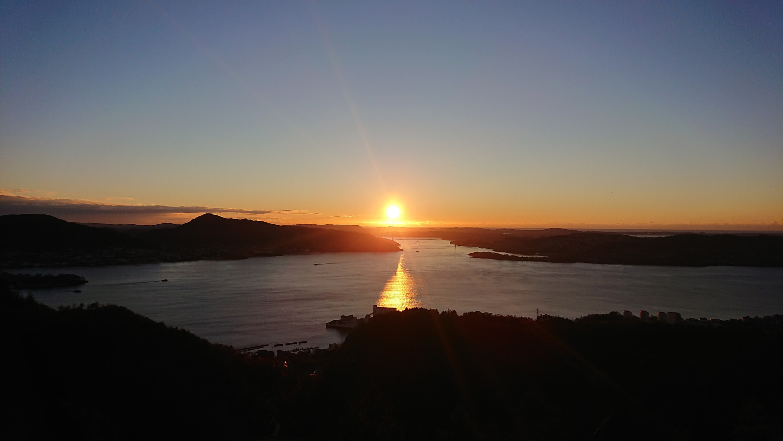
Local hike checking out a trail splitting off from the new trail I had recently discovered on the eastern side of Munkebotsvatnet. I was hoping for an alternative route to Ankerhytten or Sandvikshytten. But instead the trail quickly split again and turned into weak deer tracks. With a bit of light climbing I still managed to make my way to Sandvikshytten via Brennhaugen, but not a route I can recommend or am likely to repeat.
| Start date | 29.10.2018 15:36 (UTC+01:00) |
| End date | 29.10.2018 18:21 (UTC+01:00) |
| Total Time | 2h 45min |
| Moving Time | 2h 08min |
| Stopped Time | 0h 36min |
| Overall Average | 3.5km/h |
| Moving Average | 4.5km/h |
| Distance | 9.6km |
| Vertical meters | 564m |

User comments