Ravnefjellet and Løvstakken (06.10.2018)

| Start point | Melkeplassen (116m) |
|---|---|
| Endpoint | Torget (5m) |
| Characteristic | Hillwalk |
| Duration | 2h 34min |
| Distance | 9.0km |
| Vertical meters | 464m |
| GPS |
|
| Ascents | Løvstakken (478m) | 06.10.2018 |
|---|---|---|
| Ravnefjellet (300m) | 06.10.2018 | |
| Visits of other PBEs | Fjellheim (tuft), Løvstakken (286m) | 06.10.2018 |
| Klauvsteinen (250m) | 06.10.2018 | |
| Løvstakken - Solheim (296m) | 06.10.2018 |
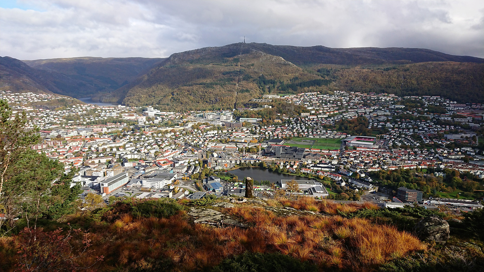
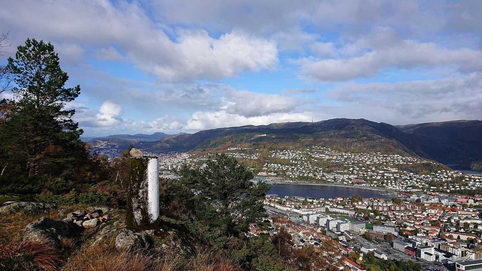
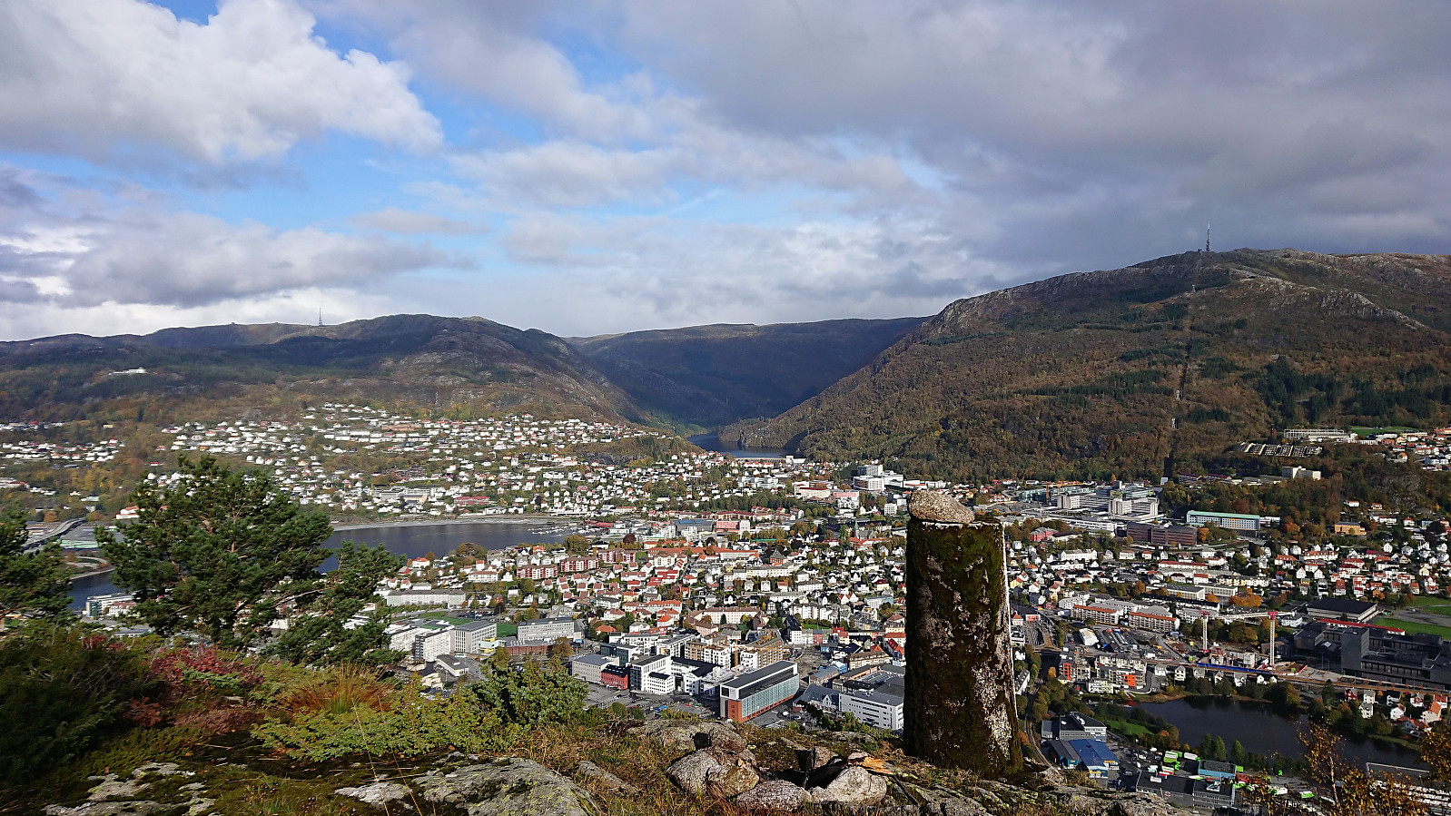
Ravnefjellet and Løvstakken
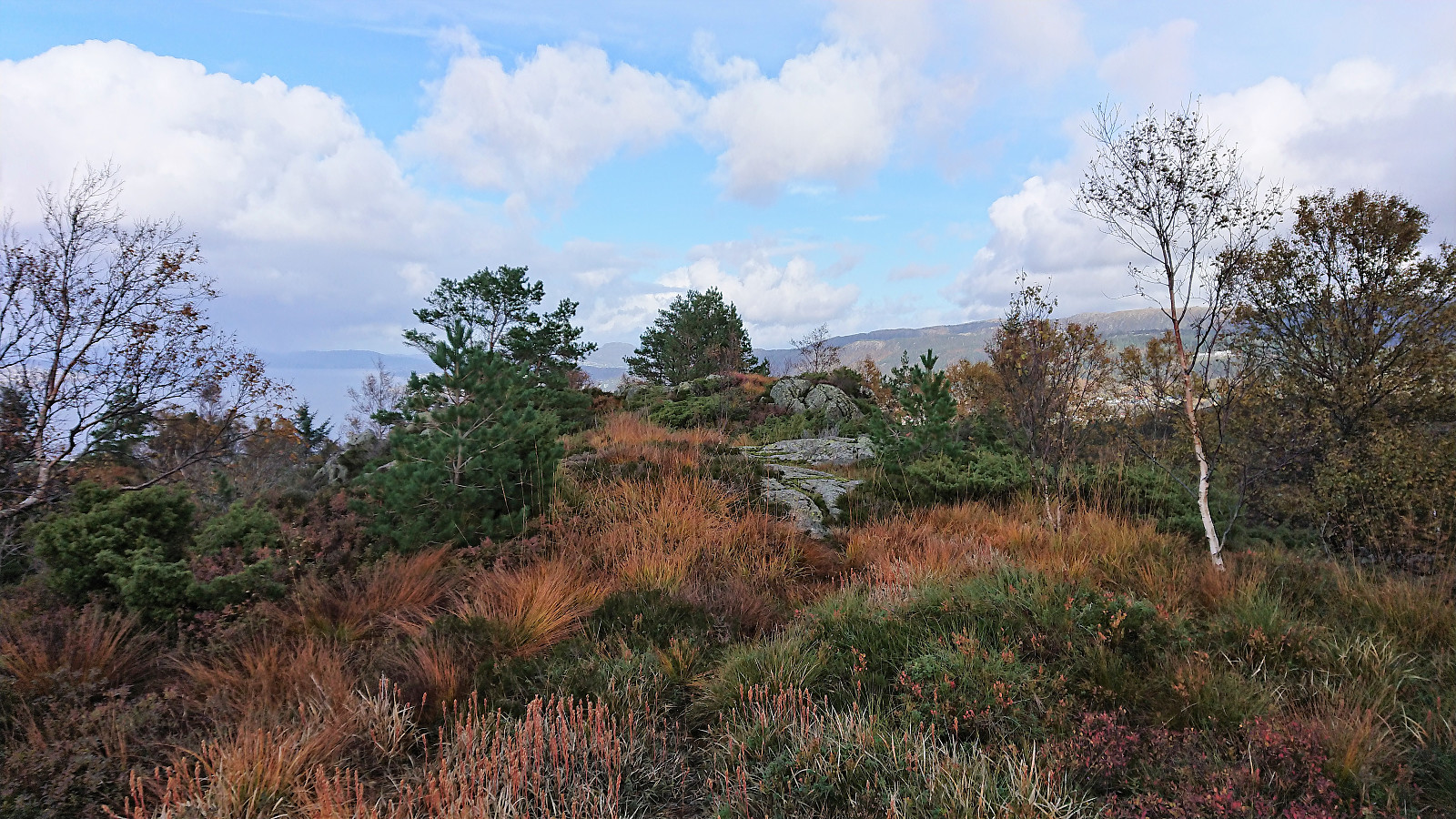
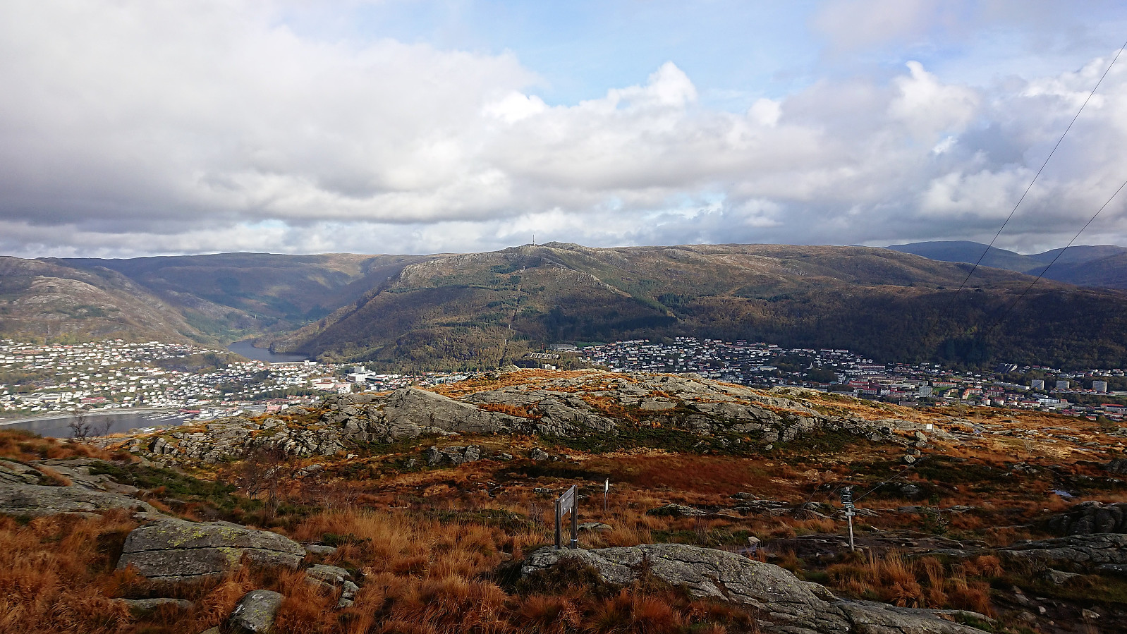
Started out as a pretty traditional hike up to Løvstakken from Melkeplassen via Ravnefjellet, but ended with a more unusual descent in order to include a visit of the trig marker on the way down to Solheim.
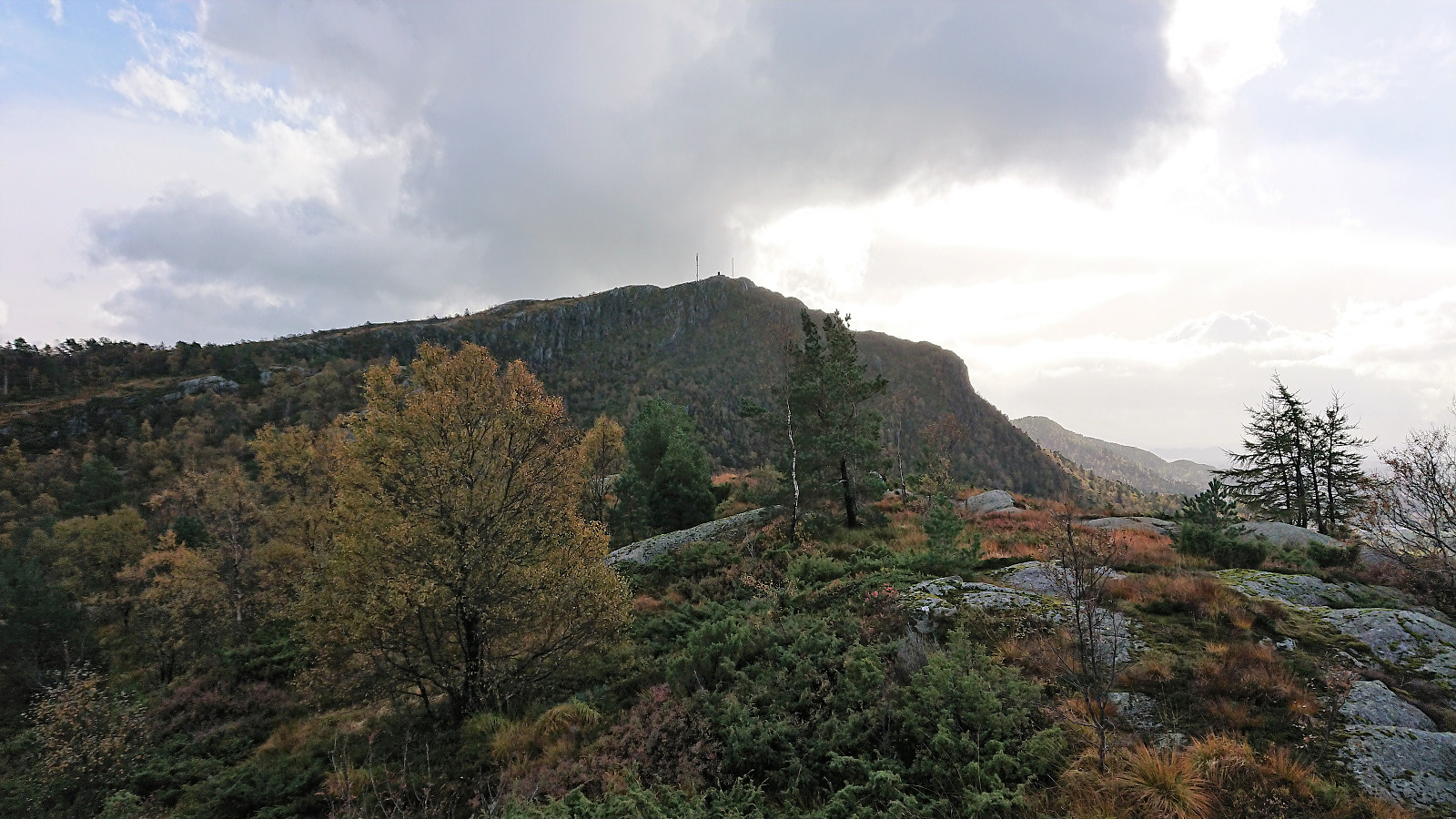
From the summit of Løvstakken the trail quality was relatively good, but this dropped significantly when the trail turned north and split off from the main trail that continued south and later east. Shortly after this I also lost the trail and instead headed straight for the trig marker.
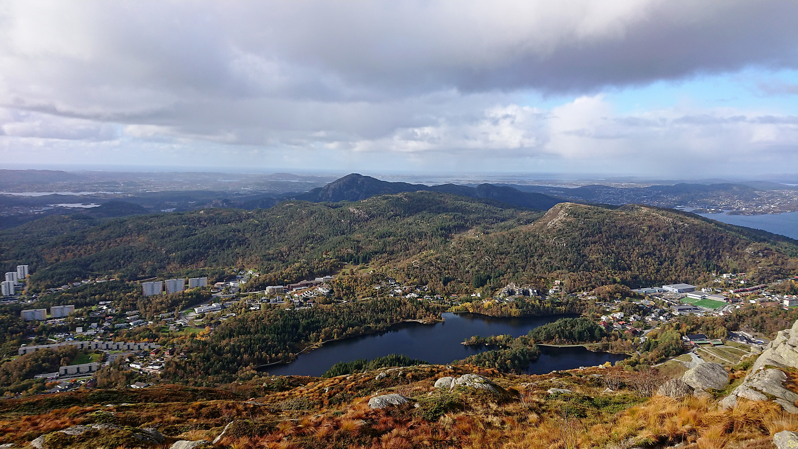
On the ridge just to the west of the trig marker I however came across a weak trail that took me almost all the way to the trig marker itself, which provided nice views, but due to the low-quality trails this will probably be my only visit.
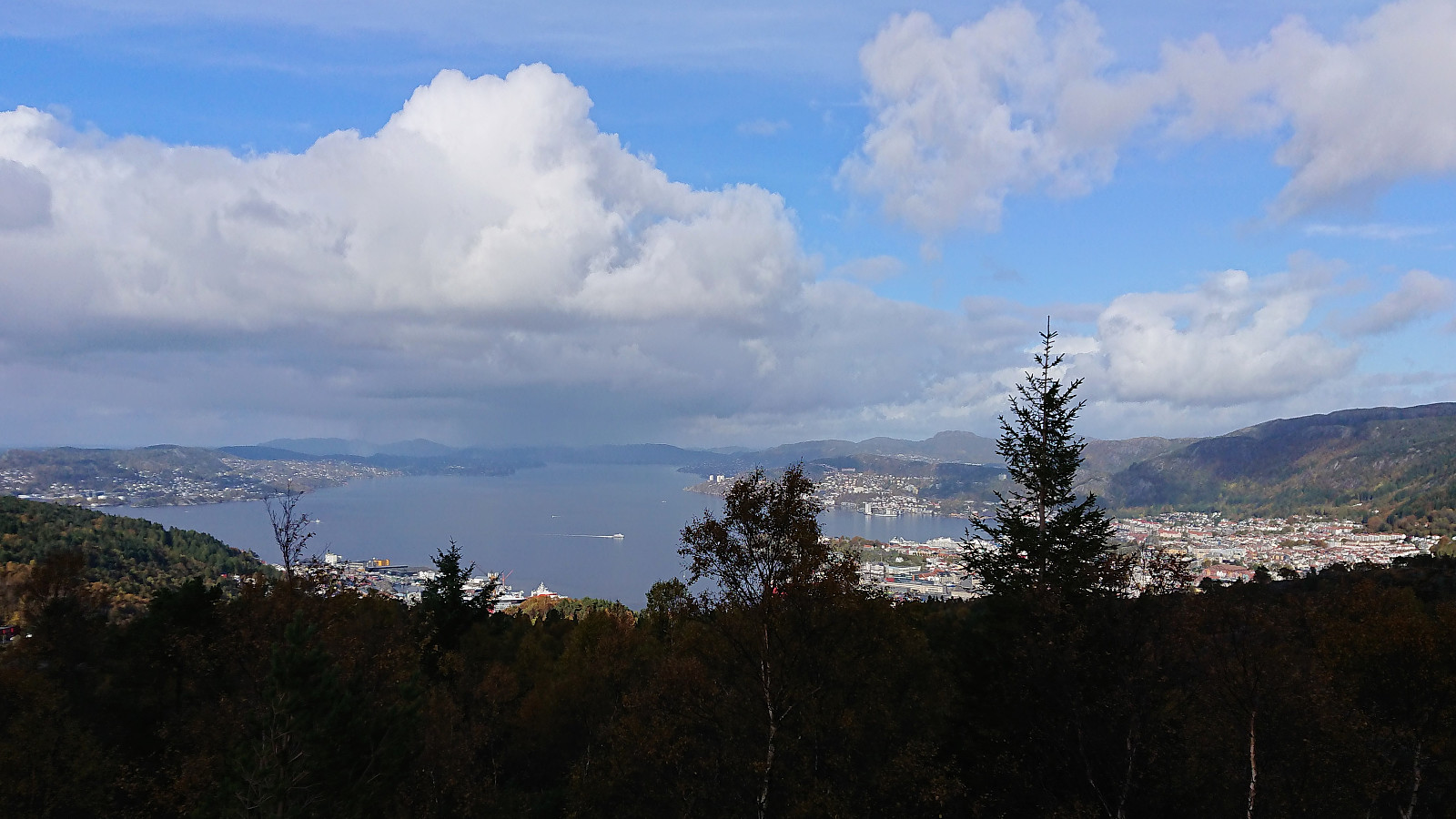
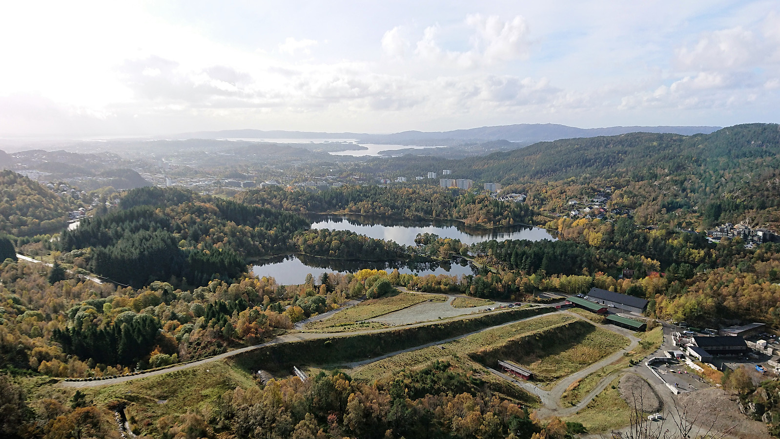
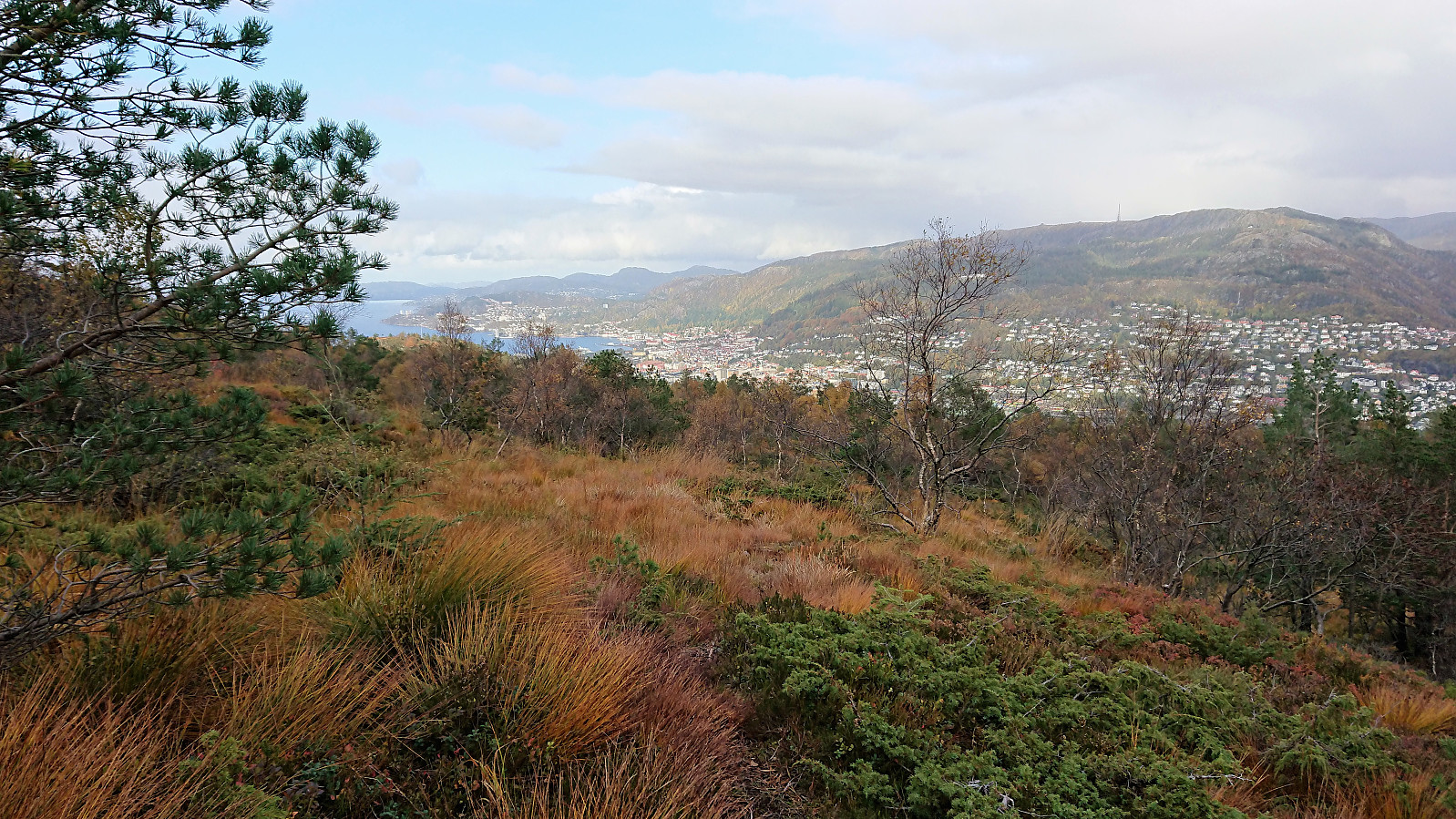
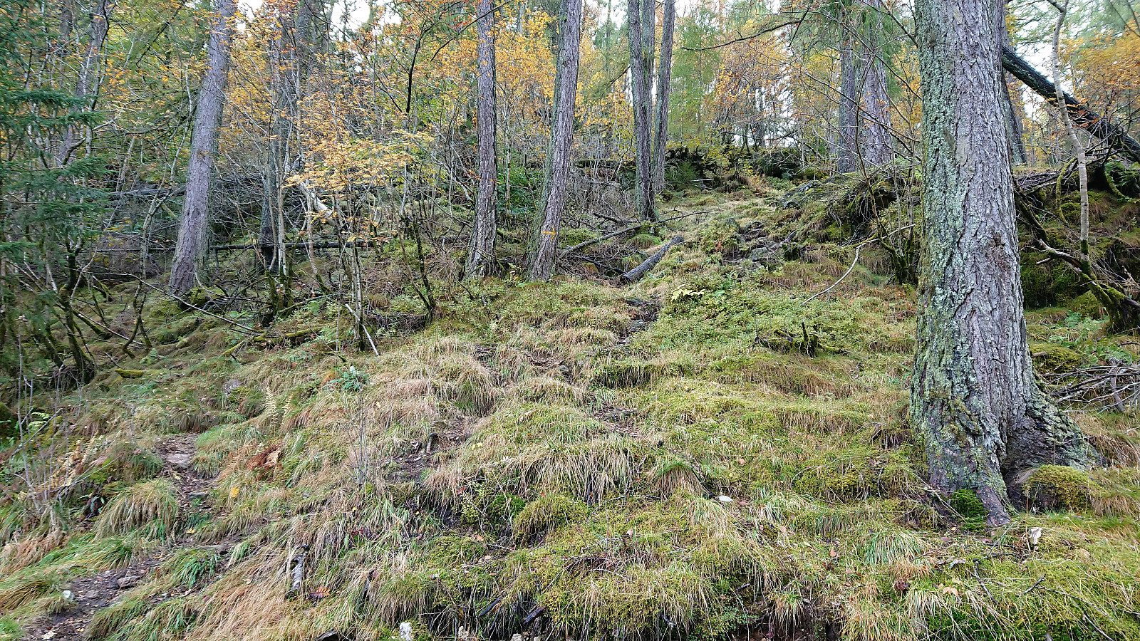
For the final descent I turned north along the trail across the ridge, which soon connected with a bigger, but rather wet, trail, leading me down to the gravel road at Løvstien. From there I walked to the city center before taking the bus back home.

| Start date | 06.10.2018 13:11 (UTC+01:00 DST) |
| End date | 06.10.2018 15:45 (UTC+01:00 DST) |
| Total Time | 2h 34min |
| Moving Time | 2h 29min |
| Stopped Time | 0h 4min |
| Overall Average | 3.5km/h |
| Moving Average | 3.6km/h |
| Distance | 9.0km |
| Vertical meters | 463m |

User comments