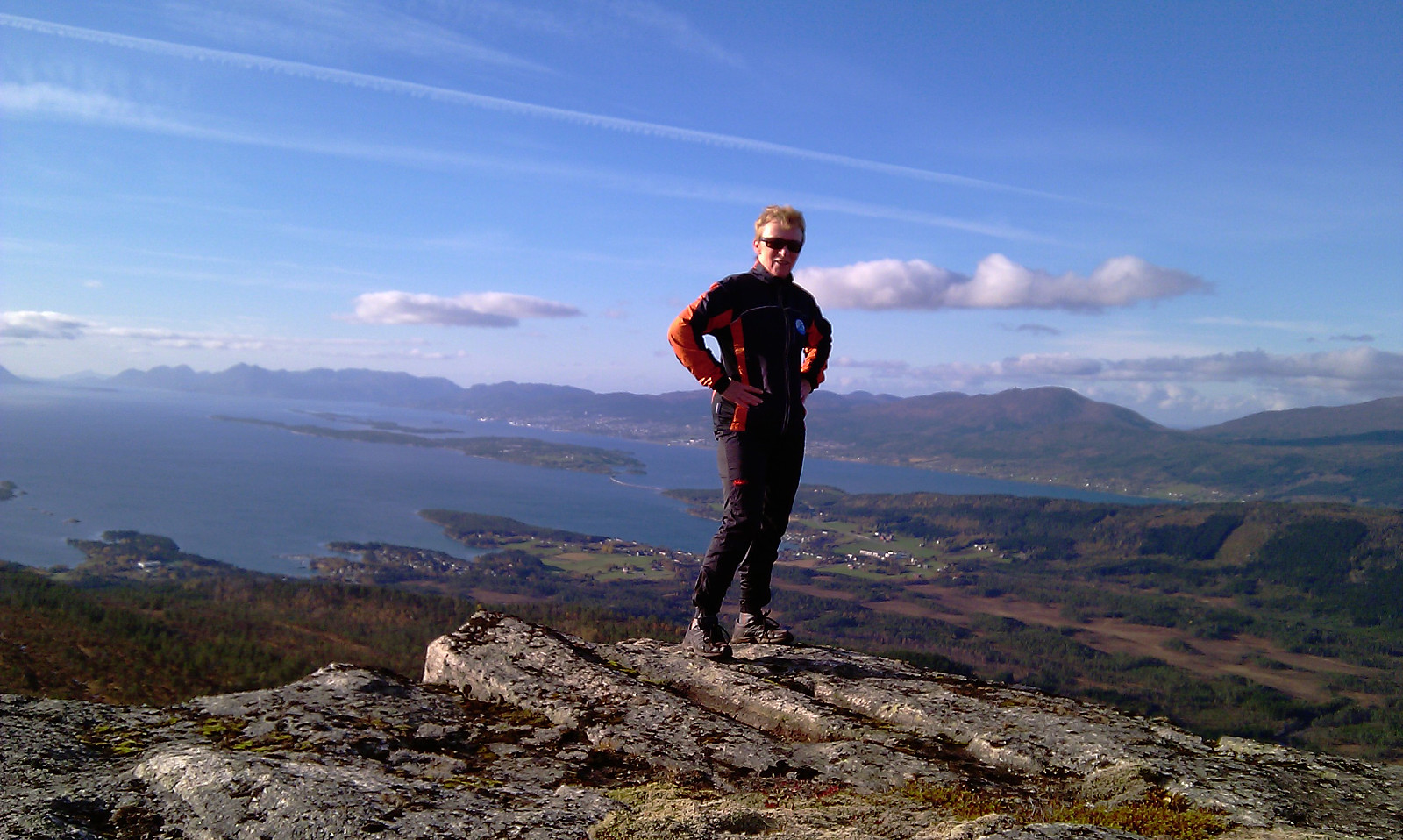
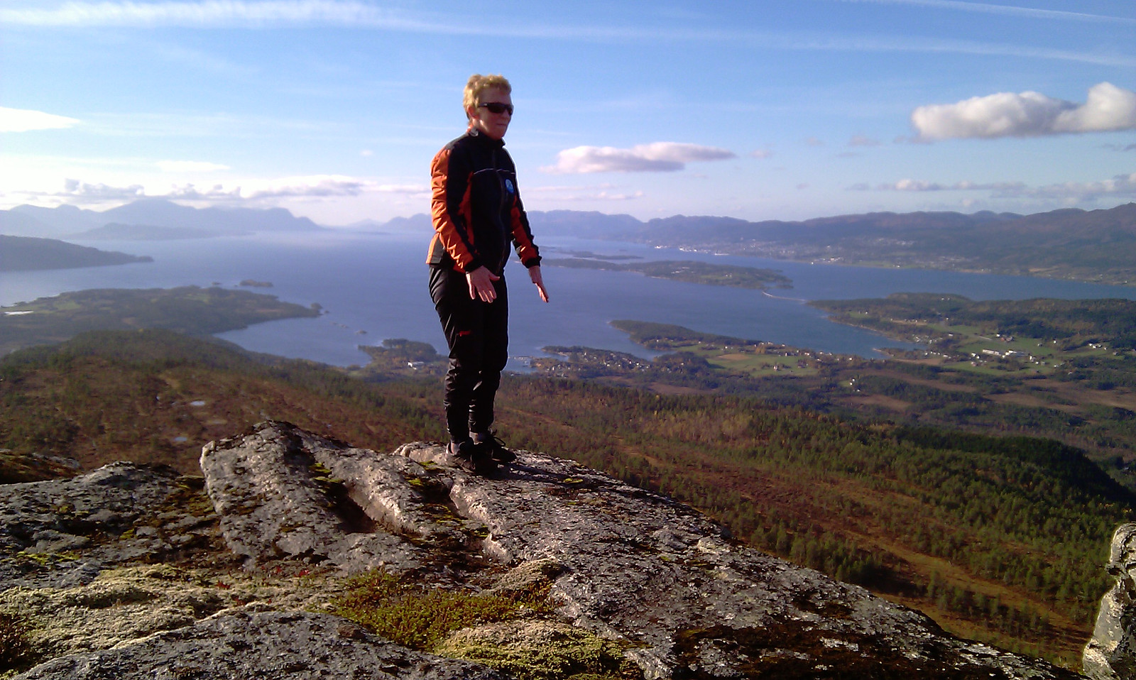
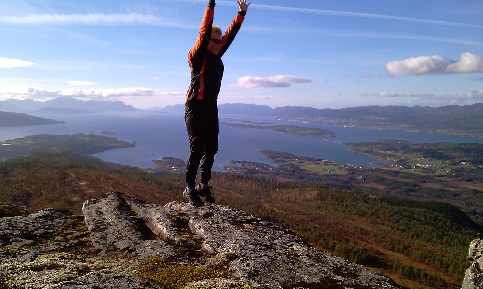
Horja (10.10.2010)

| Start point | Stenså |
|---|---|
| Endpoint | Stenså |
| Characteristic | Hike |
| Distance | 11.0km |
| Vertical meters | 550m |
| Map |
|
| Ascents | Horga (552m) | 10.10.2010 |
|---|
| Start point | Stenså |
|---|---|
| Endpoint | Stenså |
| Characteristic | Hike |
| Distance | 11.0km |
| Vertical meters | 550m |
| Map |
|
| Ascents | Horga (552m) | 10.10.2010 |
|---|

User comments