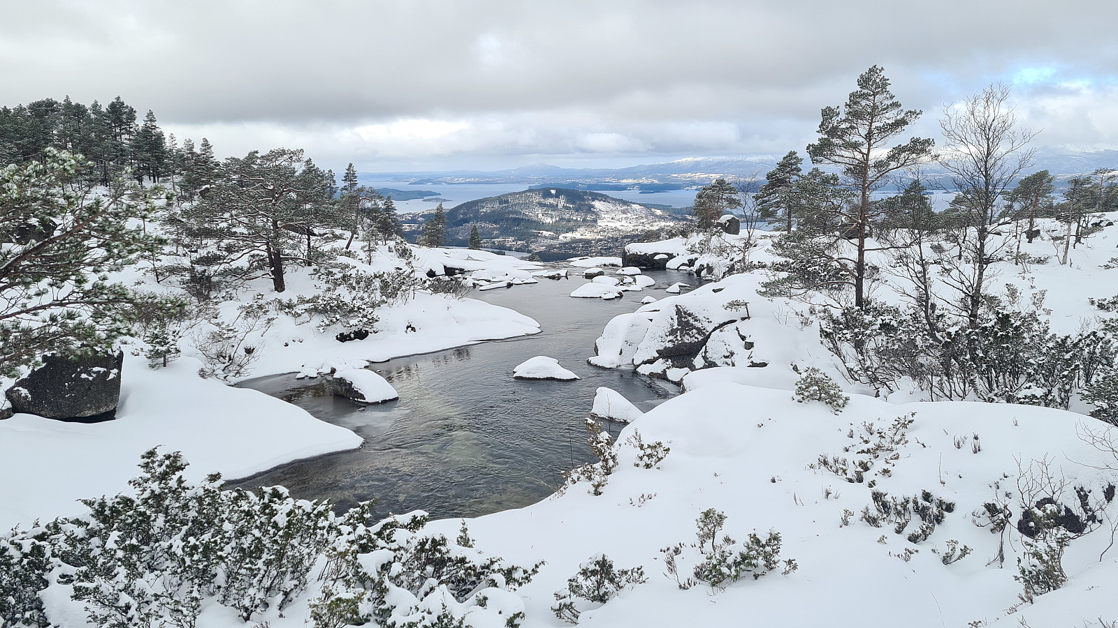
Kvinnherad - Bremstølen 460m (07.04.2021)

| Duration | 3h 36min |
|---|---|
| Distance | 6.3km |
| Vertical meters | 482m |
| GPS |
|
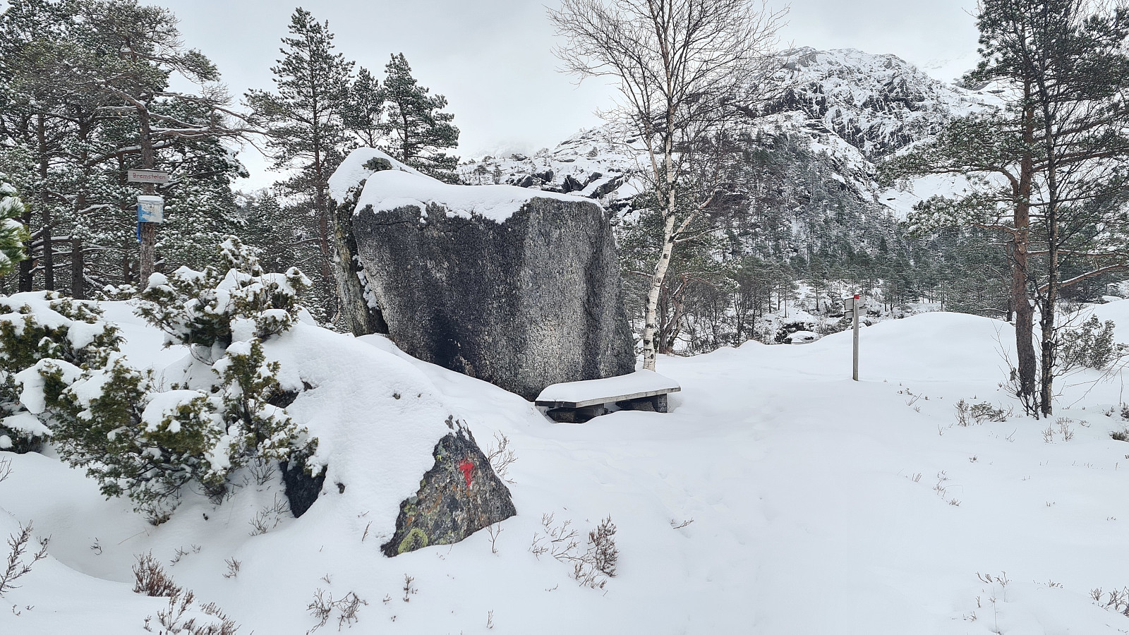
| Visits of other PBEs | Bremstølen (460m) | 07.04.2021 09:36 |
|---|---|---|
| Husnesfjell p-plass (49m) | 07.04.2021 09:36 | |
| Rasteplass før Bremstølen (420m) | 07.04.2021 11:48 |
Kvinnherad - Bremstølen 460m
Trasa 13 w Kvinnherad kommune (Ślady w Norwegii)
Dane z gps :
Stopień trudności: Zielony
Odległość: 6,3 km
Czas: 3 godz : 34 min
Średnia prędkość: 1,76 km / godz.
Średnie tempo: 33:58 min / km
Minimalna wysokość: 50 m
Maksymalna wysokość: 460 m
Różnica wzniesień: 482 m
Punkty doświadczenia: 20
Punkty wpisów : Bremstølen
Punkt startowy: VQ6H+J4 Onarheim
Punkt końcowy: VQ6H+J4 Onarheim
Parking: VQ6H+J5 Onarheim

User comments