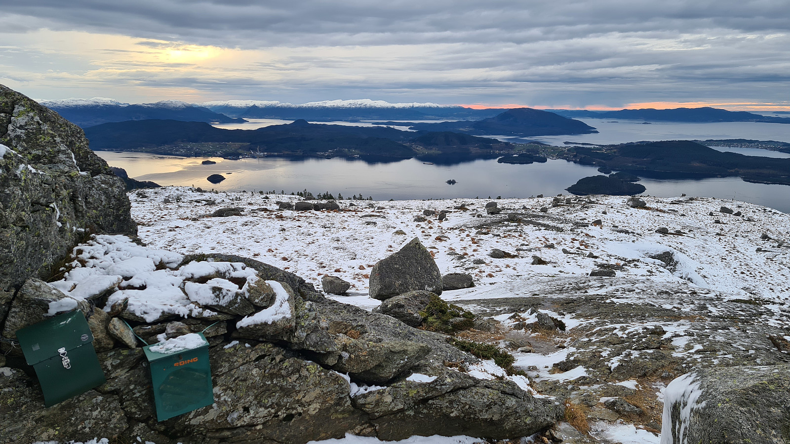
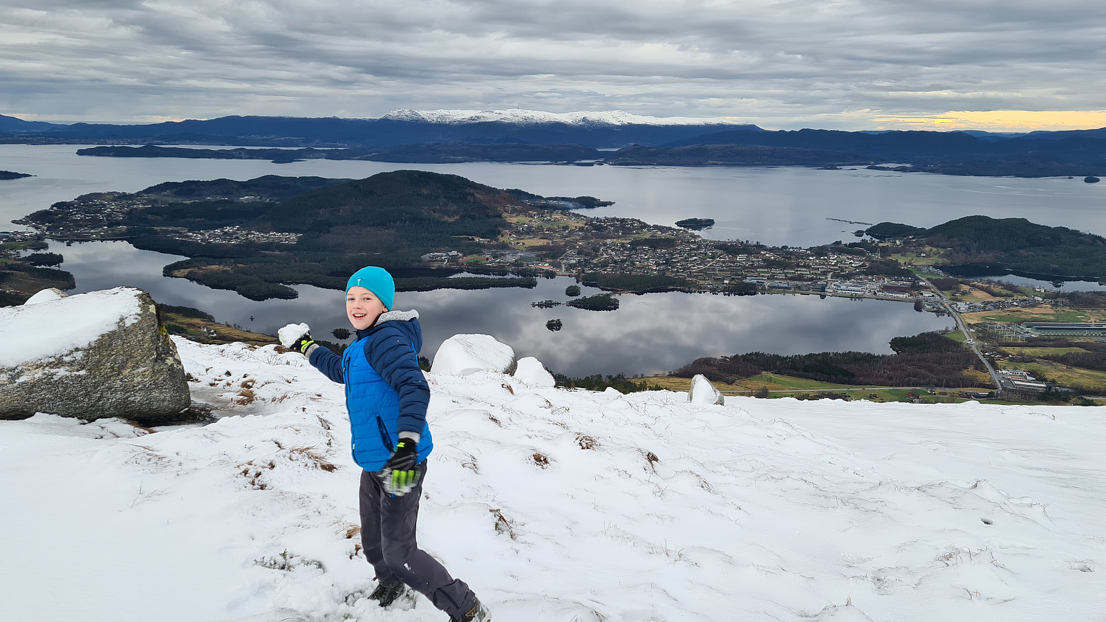
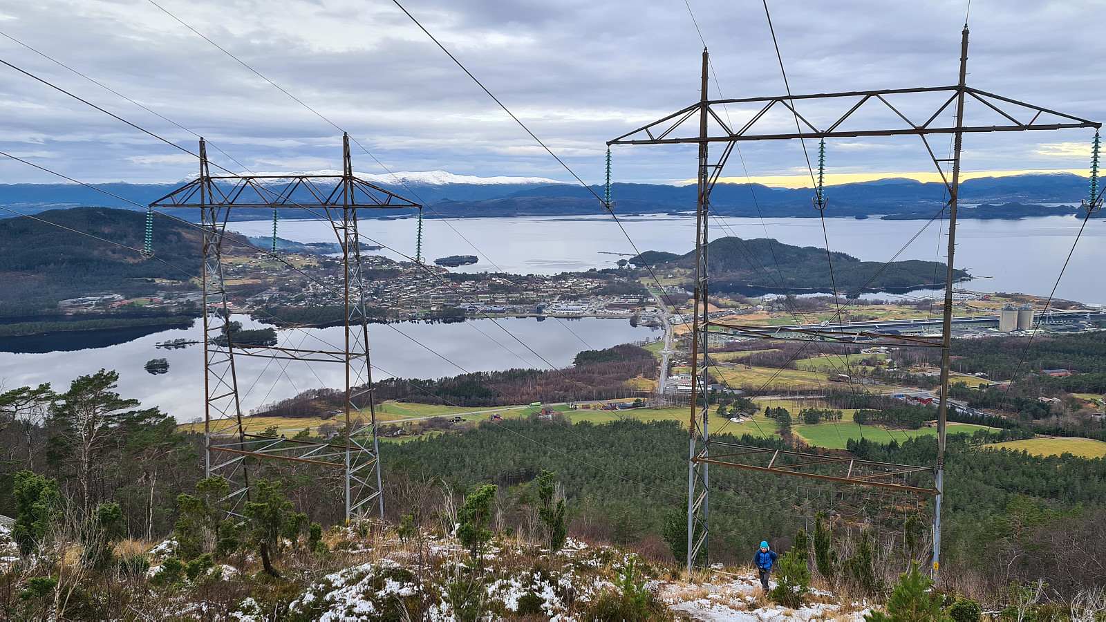
Kvinnherad - Nordfjellet 559m (29.12.2020)

| Characteristic | Hillwalk |
|---|---|
| Duration | 3h 19min |
| Distance | 5.4km |
| Vertical meters | 676m |
| GPS |
|
| Ascents | Nordfjellet (560m) | 29.12.2020 |
|---|---|---|
| Visits of other PBEs | Husnesfjell p-plass (49m) | 29.12.2020 |
Kvinnherad - Nordfjellet 559m
Trasa 11 w Kvinnherad kommune (Ślady w Norwegii)
Dane z gps :
Stopień trudności: Niebieski
Odległość: 5,37 km
Czas: 3 godz : 21 min
Średnia prędkość: 1,6 km / h.
Średnie tempo: 36:03 min / km
Minimalna wysokość: 59 m
Maksymalna wysokość: 568 m
Różnica wzniesień: 491 m
Punkty doświadczenia: 15
Punkty wpisów : Nordfjellet
Punkt startowy: VQ6H+J4 Onarheim (kod do google maps)
Punkt końcowy: VQ6H+J4 Onarheim (kod do google maps)
Parking: VQ6H+J5 Onarheim (kod do google maps)

User comments