Vandring mellom tjødner (06.03.2023)

| Start point | Kolbeinshauglio (269m) |
|---|---|
| Endpoint | Kolbeinshauglio (269m) |
| Characteristic | Hillwalk |
| Duration | 5h 38min |
| Distance | 17.6km |
| Vertical meters | 667m |
| GPS |
|
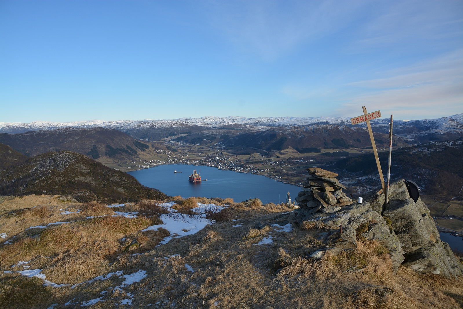
| Ascents | Ormåsen (518m) | 06.03.2023 |
|---|---|---|
| Visits of other PBEs | Gråhorgjo (638m) | 06.03.2023 |


User comments