Archive - Date
Archive - Activity
-
Bike trip (137)
- Bike trip - mixed (51)
- Bike trip - road (9)
-
Other trip (1)
- Kayaking (1)
-
Other winter trip (4)
- Snowshoe trip (4)
- Ski trip (4)
- Trip by foot (740)
Archive - Geography
Peakbook-Friends


Collected lists
-
Bergen ≥ 50m pf. og ≥ 100 m.o.h.
(87/89)
 97%
97% -
Most dominating tops of the Bergen peninsula
(68/75)
90%
-
Utvalgte topper og turmål i Bergen
(316/350)
90%
-
Alle topper i Bergen
(357/398)
89%
-
Opptur Bergen
(100/113)
88%
-
De syv fjell rundt Bergen
(6/7)
85%
-
Sund ≥ 50m pf.
(14/18)
77%
-
Os ≥ 50m pf.
(25/34)
73%
-
Søyler (fastmerker) i Bergen
(68/100)
68%
-
Fjell ≥ 50m pf.
(21/32)
65%

Skiing Bildøybakken
- Date:
- 14.02.2026
- Characteristic:
- Backcountry skiing
- Duration:
- 2:00h
- Distance:
- 5.2km
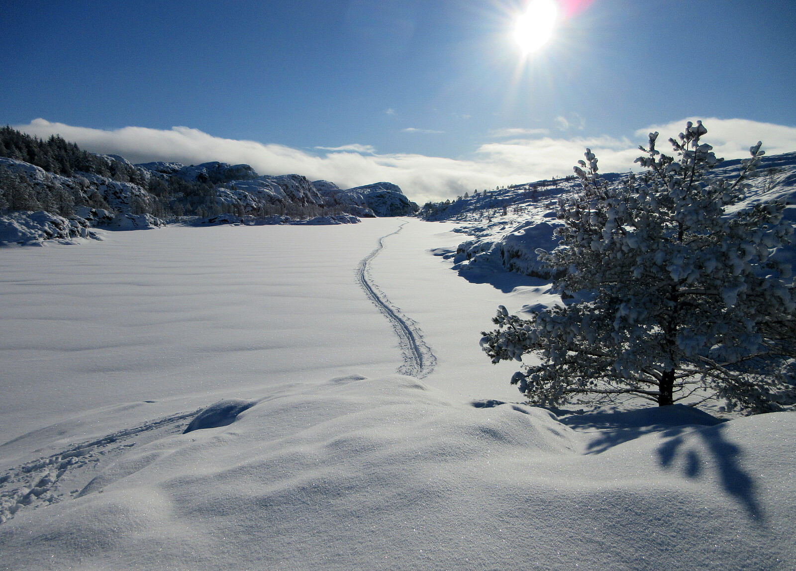 With new snow outside, we decided to take our skies and head towards Bildøybakken for an excursion into the snow. We parked at the lower end of the road which leads up to the dam of Bildøyvatnet, then following this road up to the dam. From there, we then ascended to Bildøyfjellet. Then, we continued across the heights of Bildøybakken (southwards to Vardafjellet). We then decided to connect to the southern end of Bildøyvatnet in order to cross it (on skies) south-to-north. This worked just fine and it did not take us all to long before we were back where we had started the afternoon.
Selected photos are available as Google photo album .
See also the related FB-page Hiking around Bergen, Norway .
With new snow outside, we decided to take our skies and head towards Bildøybakken for an excursion into the snow. We parked at the lower end of the road which leads up to the dam of Bildøyvatnet, then following this road up to the dam. From there, we then ascended to Bildøyfjellet. Then, we continued across the heights of Bildøybakken (southwards to Vardafjellet). We then decided to connect to the southern end of Bildøyvatnet in order to cross it (on skies) south-to-north. This worked just fine and it did not take us all to long before we were back where we had started the afternoon.
Selected photos are available as Google photo album .
See also the related FB-page Hiking around Bergen, Norway .
Skiing Livarden
- Date:
- 28.02.2016
- Characteristic:
- Backcountry skiing
- Duration:
- 3:15h
- Distance:
- 10.8km
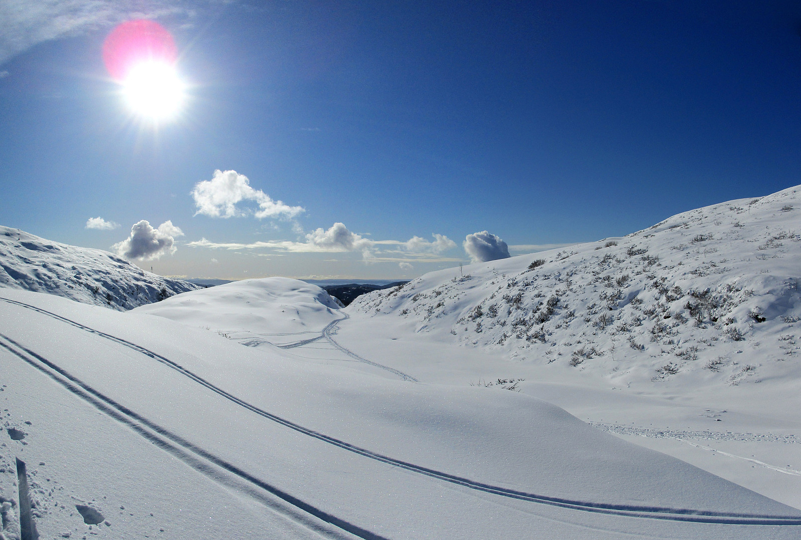 We parked near Fanahytten, went a few steps, passing Fanahytten, before we crossed over to the other side (Totlandsfjellet), walking down the road for a few meters. Parallel to Totlandsvegen as well as Totlandsfjellet, we ascended in the direction of Livarden, following a track that others had used before us (not too many, but some). Instead of skiing on the top of Totlandsfjellet, we proceeded below it, somehow on middle-height between the valley and the mountain ridge. At the point, where we switched over from Totlandsfjellet to Livarden, basically, we ascended through a narrow, little valley, called Gråsmoget. From there, we followed the track, ascending step by step to the height of Livarden. Particularly this stretch, from Gråsmoget up to the top of Livarden, was especially nice---winter >>>
Olsnesnipa
- Date:
- 16.01.2016
- Characteristic:
- Backcountry skiing
- Duration:
- 4:00h
- Distance:
- 5.8km
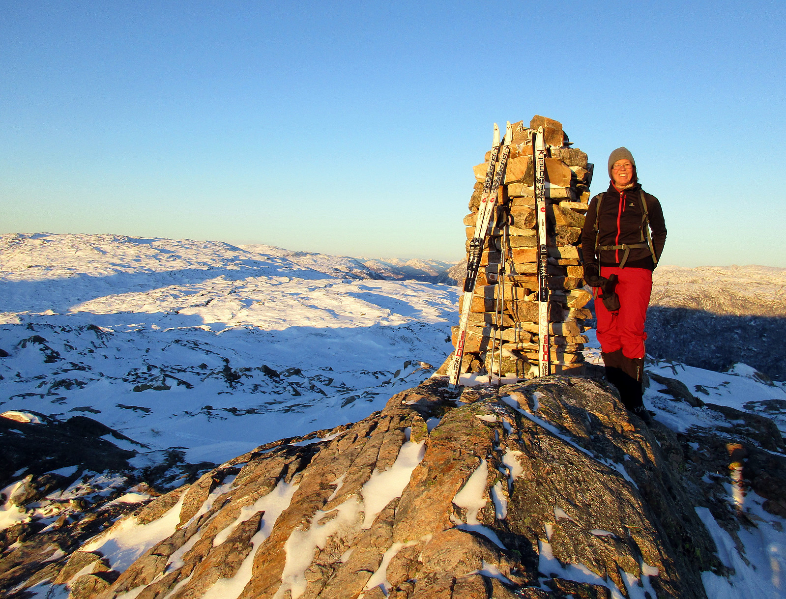 We parked at the parking on saddle Trollskaret, right about Bruvik on the southeastern "corner" of Osterøy (after crossing the bridge, you turn right right away to get to Bruvik). From the parking place, we stepped into the terrain at once, skiing into an Eastern direction, first. We ascended to Sethaugen and then continued along a gentle ridge towards Olsnesnipa. It's interesting that this is "only the other Olsnesnipa" up there, with the more prominent one being close, at "the Southern end" of the mountain range, which is most prominently marked by Rispingen in the north. This other, more prominent Olsnesnipa is also called Olsnessåta. From the one Olsnesnipa that we had come by, we continued towards Skarvenipa, first, before then turning right (bascially >>>
Sendedalen (Vikafjellet)
- Date:
- 03.04.2015
- Characteristic:
- Backcountry skiing
- Duration:
- 5:00h
- Distance:
- 14.2km
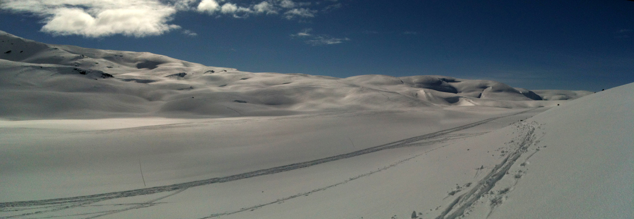 Starting from the road over Vikafjellet (#13), we skied into Sendedalen (and over to Grøndalen) and then back again. What a fantastic winter day?!!! A really great Easter skiing tour! :-)
Selected photos are available as Google photo album .
Starting from the road over Vikafjellet (#13), we skied into Sendedalen (and over to Grøndalen) and then back again. What a fantastic winter day?!!! A really great Easter skiing tour! :-)
Selected photos are available as Google photo album .
