Archive - Date
Archive - Activity
-
Bike trip (137)
- Bike trip - mixed (51)
- Bike trip - road (9)
-
Other trip (1)
- Kayaking (1)
-
Other winter trip (4)
- Snowshoe trip (4)
- Ski trip (4)
- Trip by foot (740)
Archive - Geography
Peakbook-Friends


Collected lists
-
Bergen ≥ 50m pf. og ≥ 100 m.o.h.
(87/89)
 97%
97% -
Most dominating tops of the Bergen peninsula
(68/75)
90%
-
Utvalgte topper og turmål i Bergen
(316/350)
90%
-
Alle topper i Bergen
(357/398)
89%
-
Opptur Bergen
(100/113)
88%
-
De syv fjell rundt Bergen
(6/7)
85%
-
Sund ≥ 50m pf.
(14/18)
77%
-
Os ≥ 50m pf.
(25/34)
73%
-
Søyler (fastmerker) i Bergen
(68/100)
68%
-
Fjell ≥ 50m pf.
(21/32)
65%

Gråfjellet via Solbjørgfjellet from Rolsvåg
- Date:
- 05.03.2023
- Characteristic:
- Hike
- Duration:
- 6:00h
- Distance:
- 14.2km
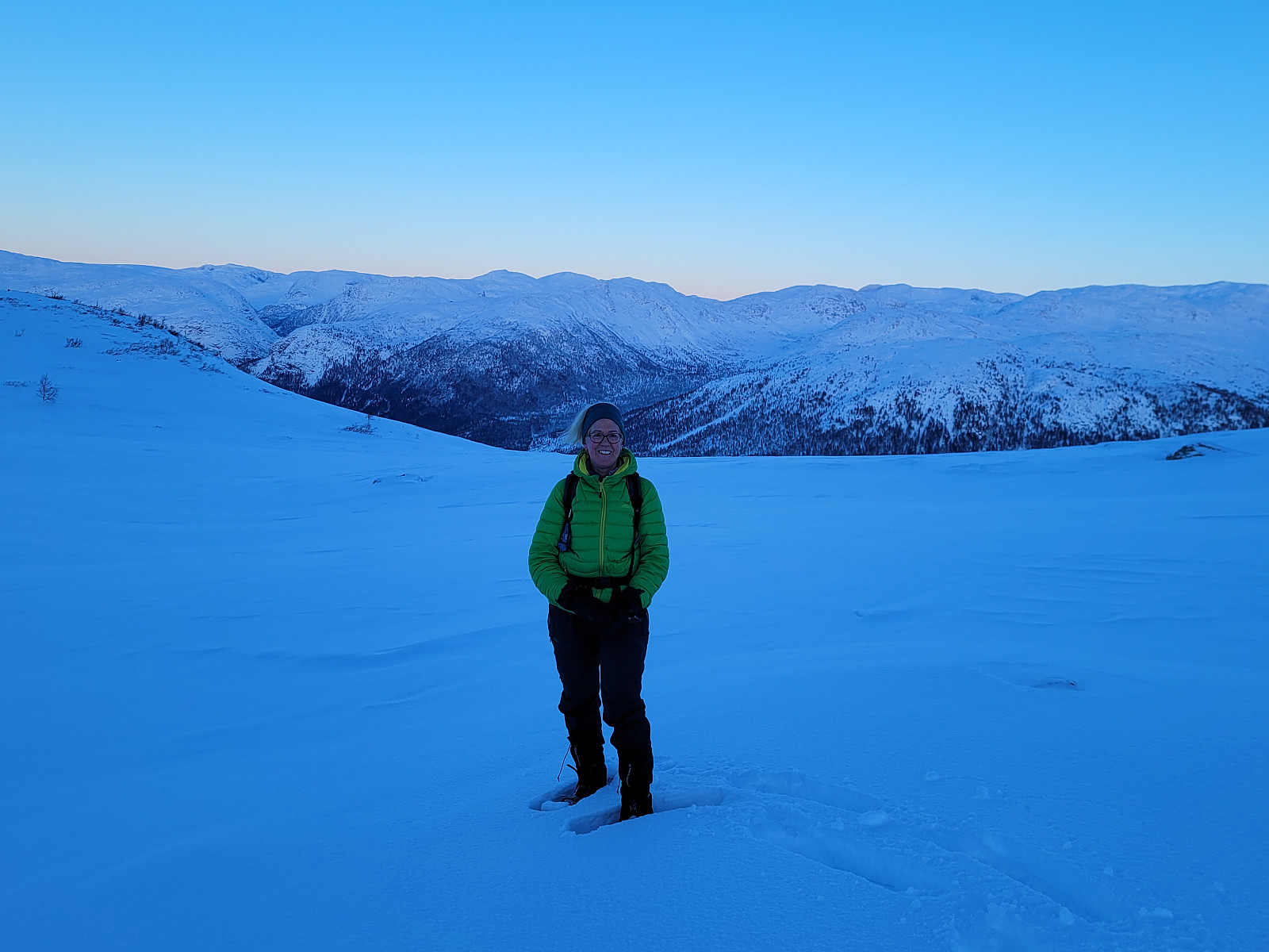
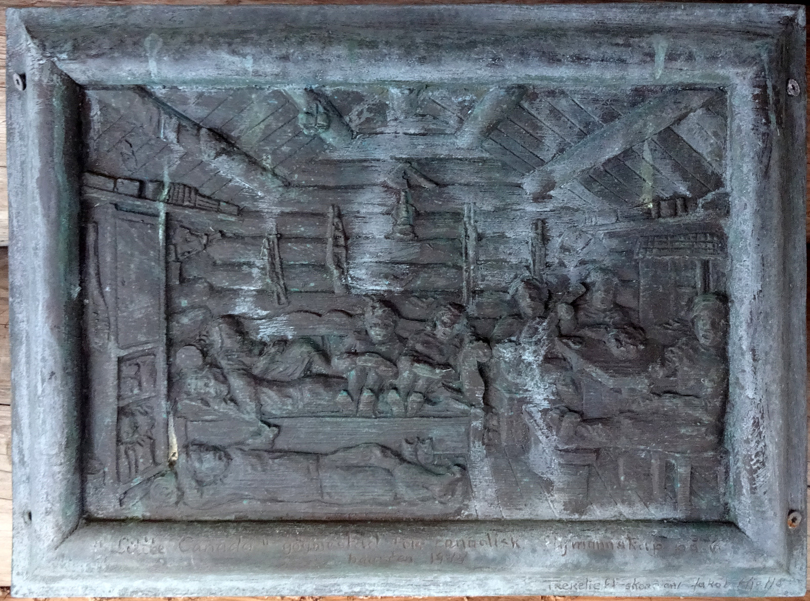 Expecting a nice day, we made a plan for a hike that would not lead us up into all too much snow. Having seen that Botnahytto (in the southwest of Rolsvåg, north of Os) was registered as war memorial, also, we decided to explore this area, including Gråfjellet in the east of Øvredalsvatnet. We had seen that others had taken the forest road from Rolsvåg (passing Rolsvågvatnet, also called Storavatnet, in its north) to get into the valley with Langavatnet and Botnavatnet. Motivated to make this a round, instead, we decided to start our hike in the south of Rolsvågvatnet, aiming for Solbjørgfjellet first. We parked very near to Rolsvågvatnet (on the east of it) and stepped into the terrain south of Rolsvågvatnet more or less "at once". The ground was still quite a bit frozen, >>>
Hæddena, Orrkleivhaugen, and Åsheimfjellet
- Date:
- 04.03.2023
- Characteristic:
- Hike
- Duration:
- 4:00h
- Distance:
- 8.2km
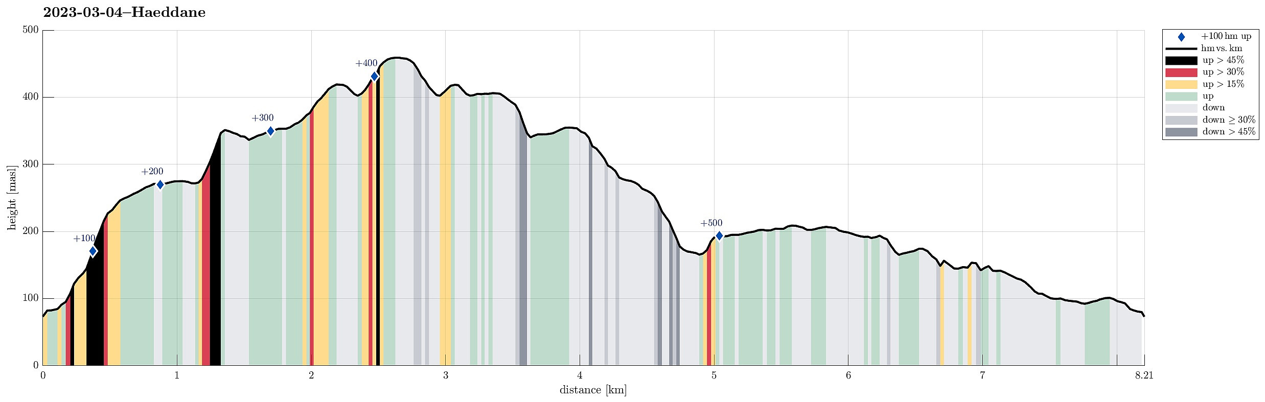 We thought that Osterøy would be nice for another hike and so we chose Hæddena right north of the bridge to Osterøy as our goal for the day. This time, however, we wished to get there via the nice-looking ridge, which is directly about the long tunnel of Osterøyvegen (basically the continuation of the bridge). The map had suggested that a simple trail should be leading up there, as well. We parked right after driving through "the other tunnel" (of Hausvegen, "only" some 150m long, or so) and aimed at taking this trail up to the ridge. In order to do so, one should first follow the northbound trail (into the direction of Haus) up to Vikno (or almost all the way there), before then turning around and up a gentle ridge. Instead, we turned right way earlier, ending >>>
Borga in quite some snow
- Date:
- 25.02.2023
- Characteristic:
- Hike
- Duration:
- 5:00h
- Distance:
- 10.5km
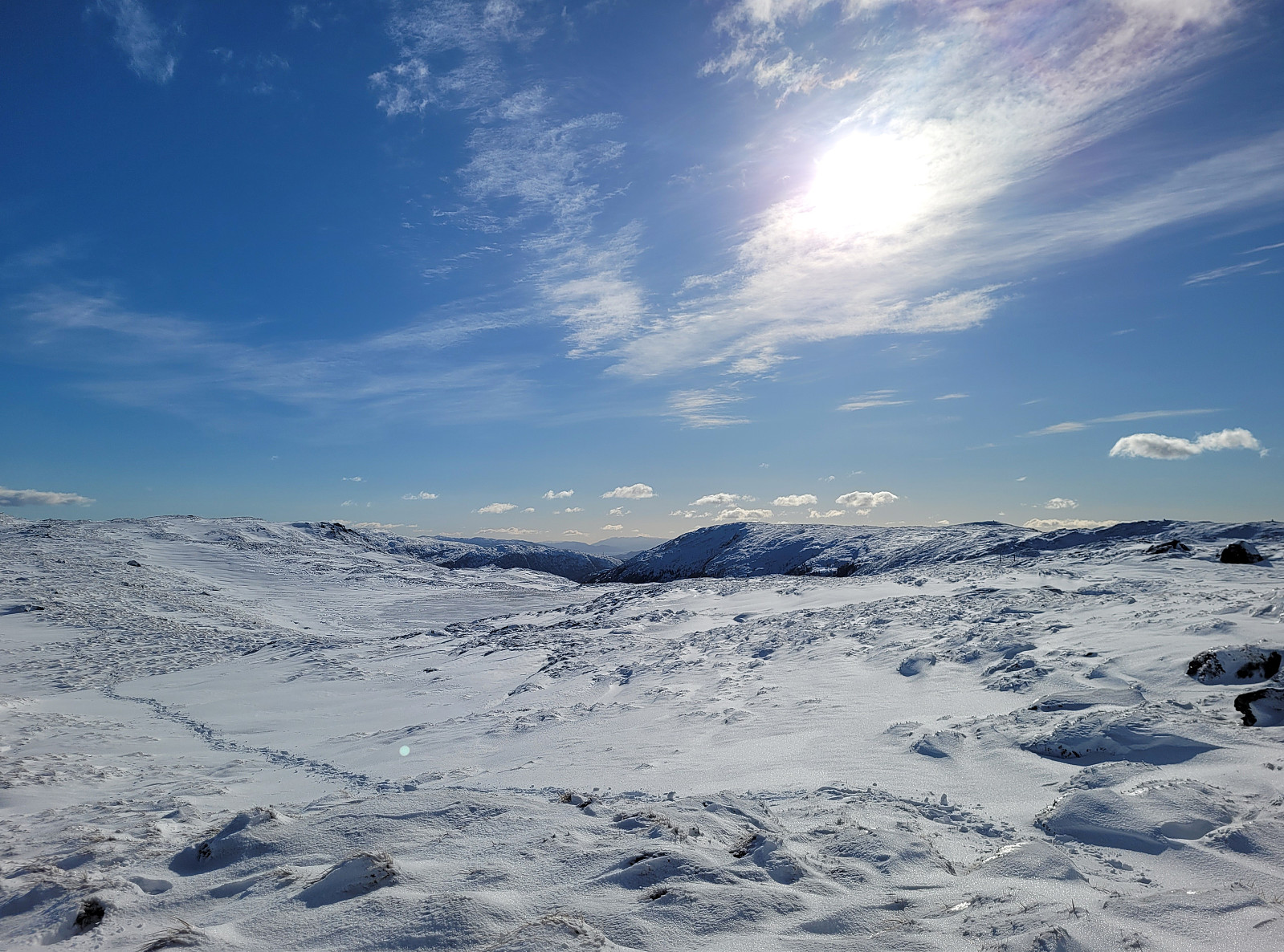 There was quite some snow to expect and since we still wished to hike, we aimed at choosing a route that would be possible to hike well, even without snoeshoes. Estimating that Borga should still be fine, we drove to the other side of Vidden and parked along Kvamsvegen near Austrestølane. From there, we first hiked up Sauhola, already stepping through a substantial layer of snow. Once up to Bjørndalen and back to the gravel road that also leads up here (offering a less steep, alternative route up), we turned left and crossed over the stream that continues down Sauhola. Now in a southward direction (towards Nedstaflåna), we started to surround Bjørndalen in its south with the goal to find a suitable route up to Borga in the southwest of Bjørndalen. At first, up to about 400masl, this >>>
Ulvenfjellet and Vardafjellet
- Date:
- 18.02.2023
- Characteristic:
- Hike
- Duration:
- 2:30h
- Distance:
- 5.7km
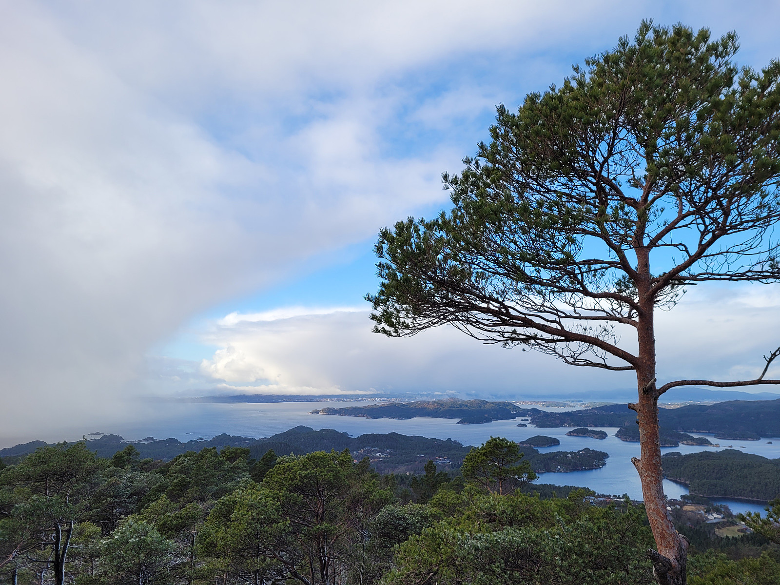 It had been a (quite long) while since we last had visited Ulvenfjellet near Os (almost 15 years). This time, we considered an ascent from its northside, starting at Drangsvegen. We found a suitable place for parking near the bridge over Vikelva. From there, the first goal was to get up to Søvikfjellet. We ascended more or less directly up towards Søvikfjellet (without a trail and across relatively steep terrain). Doing so, we also crossed over a forest road that comes up from Helleskaret, providing another (less adventurous) way up. Once on the heights of Søvikfjellet, we aimed at Gaddhaugen as our next goal. While heading there, we connected (for a short stretch of our hike) with the trail, which is the extension of the forest road that we had crossed a bit further down. To get >>>
Biking Grimseidvegen (with Storrinden and Stendafjellet)
- Date:
- 05.02.2023
- Characteristic:
- Bike trip
- Duration:
- 2:30h
- Distance:
- 35.6km
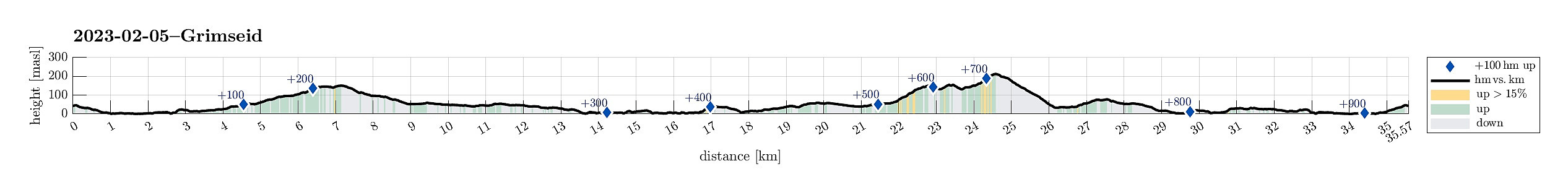 This time, we were in the mood for a bike trip. We headed first south, passing by Sælenvatnet in its southwest, before then crossing over the narrow connection of Nordåsvatnet and Grimstadfjorden. While heading further southwards, we included a detour up to Storrinden (this was quite interesting as substantial sections of the road up and down were covered with ice). Once back on Ytrebygdsvegen, we continued further southwards. We crossed Flypassvegen and continued into the direction of Hjellestad. Before actually getting there, however, we turned left (twice) to get onto Grimseidvegen. This way, we had changed direction and were cycling in about eastern/northeastern direction. Once passed Grimseidvatnet, we turned right to get onto Skeievegen that brought us to the other side of Hordnesskogen >>>
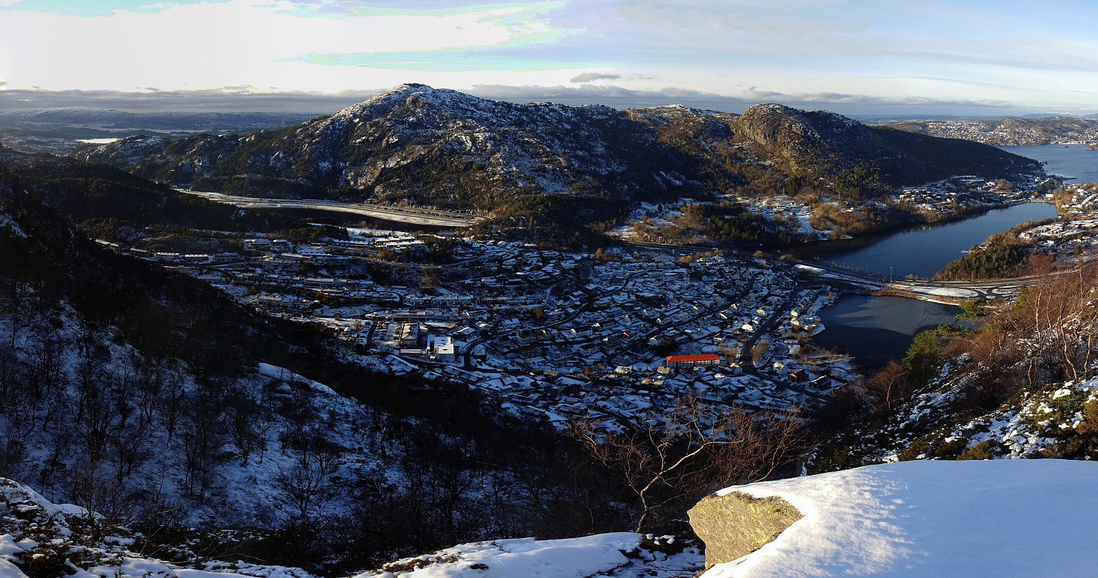
Liafjellet, Strandafjellet, and Ravnefjellet
- Date:
- 22.01.2023
- Characteristic:
- Hike
- Duration:
- 2:00h
- Distance:
- 4.5km
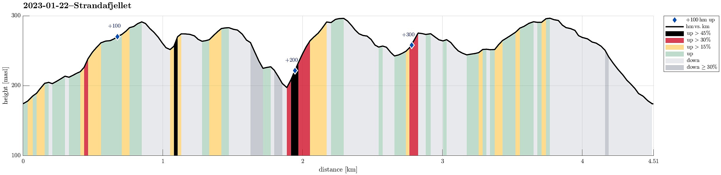 We biked to the northwestern end of Løvstien at Øvre Riplegården and started our exploration from there. We first ascended to the ridge in the west of Nilsadalen, following it then towards the south (and upwards). When eventually close to Ravnefjellet (in the west), we crossed over (towards the east) to get up to the southern top of Liafjellet. From there, we connected to the northern top of Liafjellet. Next, we aimed at Strandafjellet via Juvdalen. The descent from Liafjellet into Juvdalen was a bit steep, but still OK. Once in Juvdalen, we descended just a bit more to get up to the northern ridge of Strandafjellet without any climbing. Ascending to Strandafjellet via its northern ridge was then straight-forward and nice. From Strandafjellet, we then connected back to Liafjellet, >>>
Olsokfjellet, Damsgårdsfjellet, and Gravdalsfjellet
- Date:
- 21.01.2023
- Characteristic:
- Hike
- Duration:
- 2:00h
- Distance:
- 6.6km
 With limited time available, we decided to do a short hike not far from home. We parked next to Betanien in the north of Fyllingsdalen and started our hike in the direction of Nordnæsdalen. Next the playing field next to Nordnæshytten, we turned right and started our ascent towards Olsokfjellet from there. Due to the snow and ice, it was good to use brodder (light version of crampons). From Olsokfjellet, we then continued to Damsgårdsfjellet (around Tverrdalen). Via Skaret, we then continued further into the direction of Gravdalsfjellet, including also Holefjellet and Nygårdsnipa. From Gravdalsfjellet, we then took a trail down into Espedalen (without passing by Viggohytten first). From there, it was then right back to the car. Really nice to have the opportunity for such a nice >>>
Hisdalen from Rød
- Date:
- 14.01.2023
- Characteristic:
- Hike
- Duration:
- 4:00h
- Distance:
- 8.4km
 I had never passed by Rosemyrane in the west of Fanafjellet, so why not hiking into Hisdalen via Rosemyrane? I parked along the road from Fana to Krokeide near Rød and entered the terrain behind house 432, where I had seen something like an old trail before (you need a bit of phantasy, though, to respect it as a trail). This way, I got to the saddle in the west of Rødsaksla quickly and easily, entering the valley with Rosemyrane from its north there. Keeping to the east-side of this valley, I could nicely pass by Rosemyrane without getting all too wet shoes right in the beginning of this hike. :-) Not ascending much, altogether, I continued somewhat in southwestern direction (southeast of Vasslibekken). Instead of descending to Austrevågen at house 110, I tried to find a "half-high" >>>
Middagshovden with snowshoes
- Date:
- 01.01.2023
- Characteristic:
- Snowshoe trip
- Duration:
- 3:00h
- Distance:
- 8.9km
 Lovely snowshoe tour on the first day of the year! After first reusing the track from the day before , we then decided to add an extension to Middagshovden. The ascent was a bit demanding (and in the upper part some 50 height meters, or so, were also quite steep), but all-in-all it was very nice and enjoyable. From Middagshovden, we then followed the slightly more traditional route down (in parallel to Ljosegrovi) until we reunited with our tracks from earlier. Really very nice to make such a winter hike with snowshoes! :-)
Selected photos are available as Google photo album .
See also the related FB-page Hiking around Bergen, Norway .
Lovely snowshoe tour on the first day of the year! After first reusing the track from the day before , we then decided to add an extension to Middagshovden. The ascent was a bit demanding (and in the upper part some 50 height meters, or so, were also quite steep), but all-in-all it was very nice and enjoyable. From Middagshovden, we then followed the slightly more traditional route down (in parallel to Ljosegrovi) until we reunited with our tracks from earlier. Really very nice to make such a winter hike with snowshoes! :-)
Selected photos are available as Google photo album .
See also the related FB-page Hiking around Bergen, Norway .
