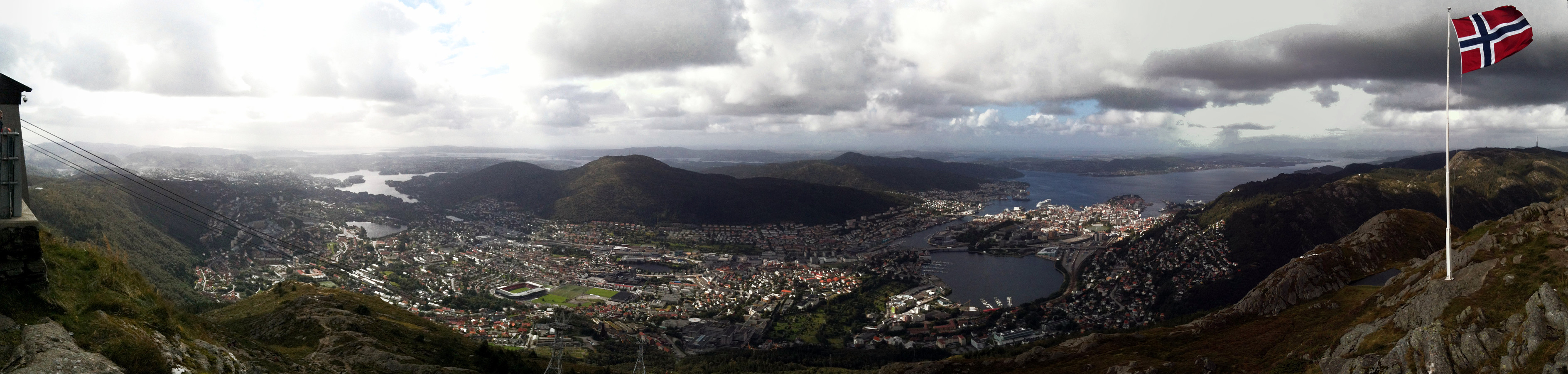
Ulriken (31.08.2013)

| Start point | Dam of Svartediket (65m) |
|---|---|
| Endpoint | Dam of Svartediket (65m) |
| Characteristic | Hillwalk |
| Duration | 2h 00min |
| Distance | 7.5km |
| Vertical meters | 639m |
| GPS |
|
| Ascents | Ulriken Vest (607m) | 31.08.2013 |
|---|---|---|
| Visits of other PBEs | Solhaugen søyle (107m) | 31.08.2013 |
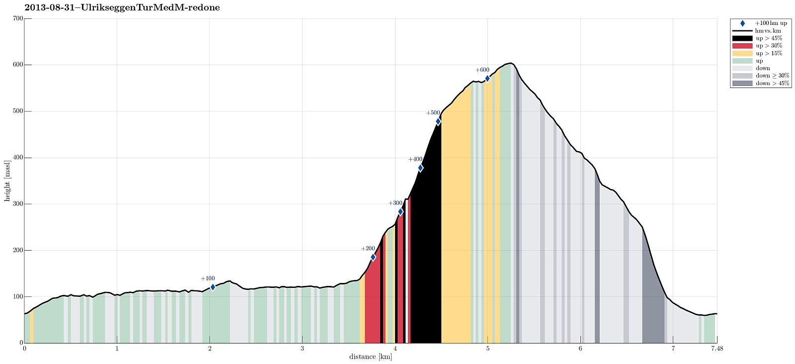
Note that this track has been created a posteriori, i.e., from memory, not automatically recorded.
Trip Summary
Great ascent to Ulriken via Ulrikseggen!
Photos
Selected photos are available as Google+ photo album.
Useful Resources
Web page WestCoastPeaks.com provides useful information about Haugavarden, Ulriken, Storfjellet, and Landåsfjellet
and also Petter Bjørstad has a useful page about Ulriken.

User comments