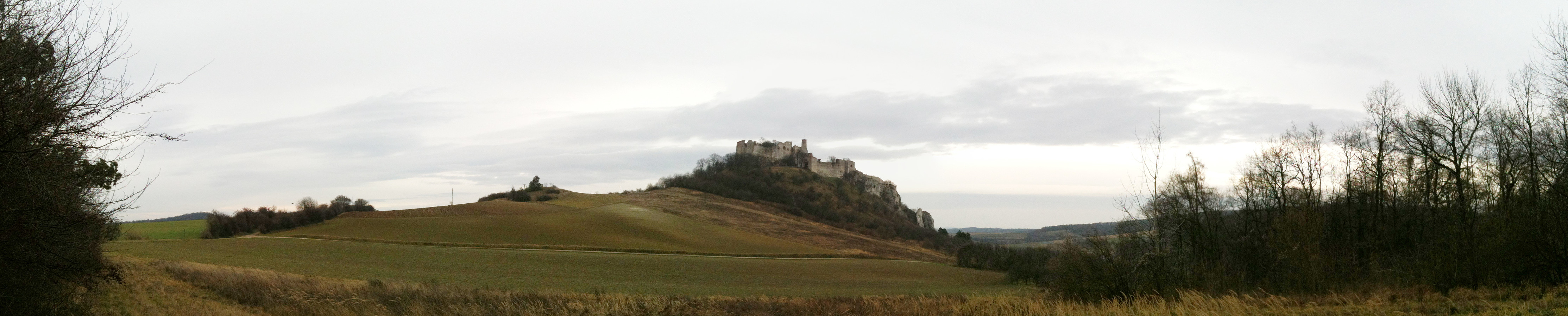
Ruine Falkenstein (26.12.2013)

| Start point | Hausleitner Wald (400m) |
|---|---|
| Endpoint | Hausleitner Wald (400m) |
| Characteristic | Hike |
| Duration | 2h 30min |
| Distance | 6.2km |
| Vertical meters | 192m |
| GPS |
|
| Visits of other PBEs | Ruine Falkenstein (415m) | 26.12.2013 |
|---|
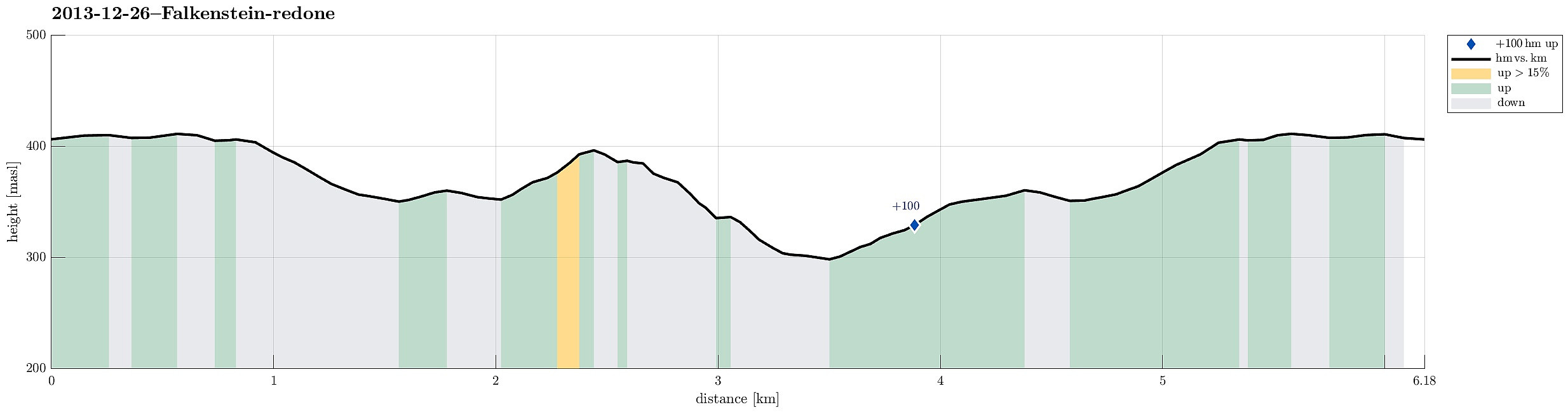
Note that this track has been created a posteriori, i.e., from memory, not automatically recorded.
Trip Summary
Falkenstein, and the old ruin high above it, is definitely worth a visit!

User comments